Scan the QR code and open PeakVisor on your phone
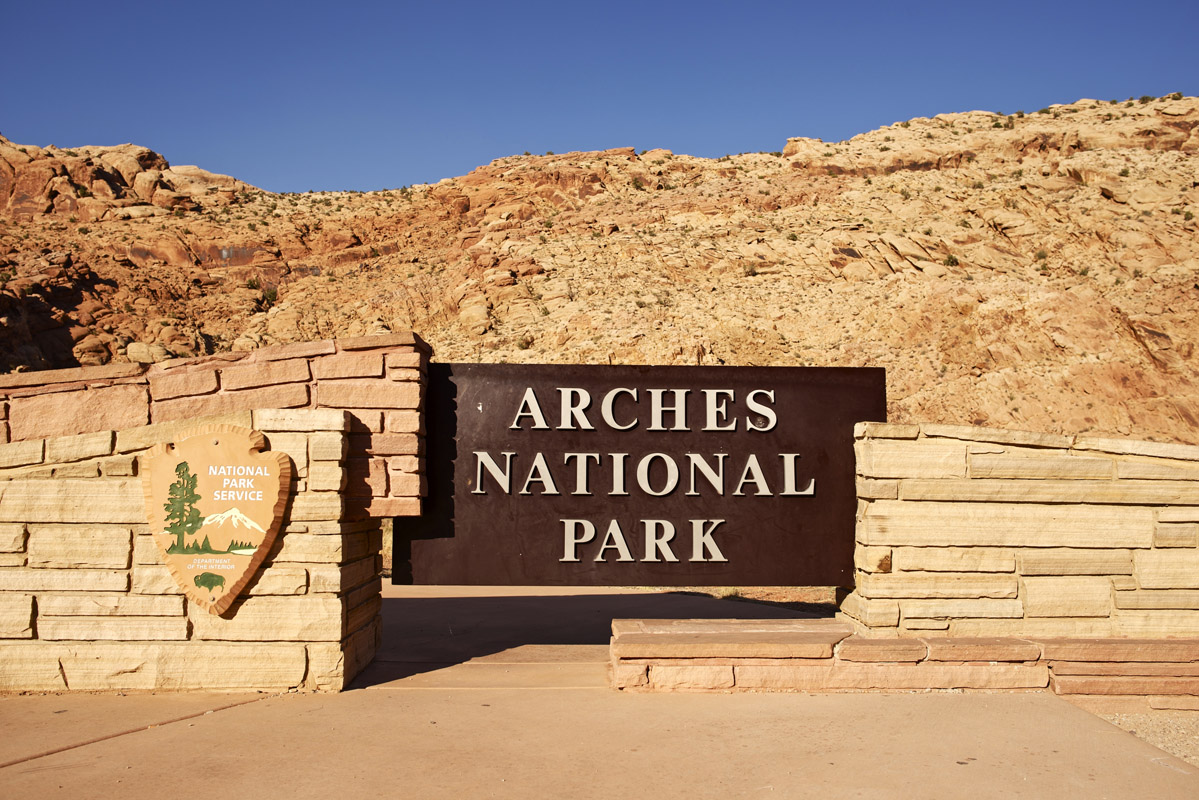
Hidden in the red sand desert of eastern Utah is Arches National Park, a small, yet stunning swath of land home to some of the world’s most beautiful rock formations. The park itself contains more than 2,000 natural sandstone arches, from which Arches National Park derives its name, as well as an assortment of other fascinating geologic features such as hoodoos, balanced rocks, and sandstone fins.
The park contains just 7 named mountains, the highest and most prominent of which is Elephant Butte (5656ft/1724m). Other iconic peaks in the park include the massive Tower of Babel (4682ft/1427m) and Sheep Rock (4373ft/1333m), which are both popular amongst climbers.
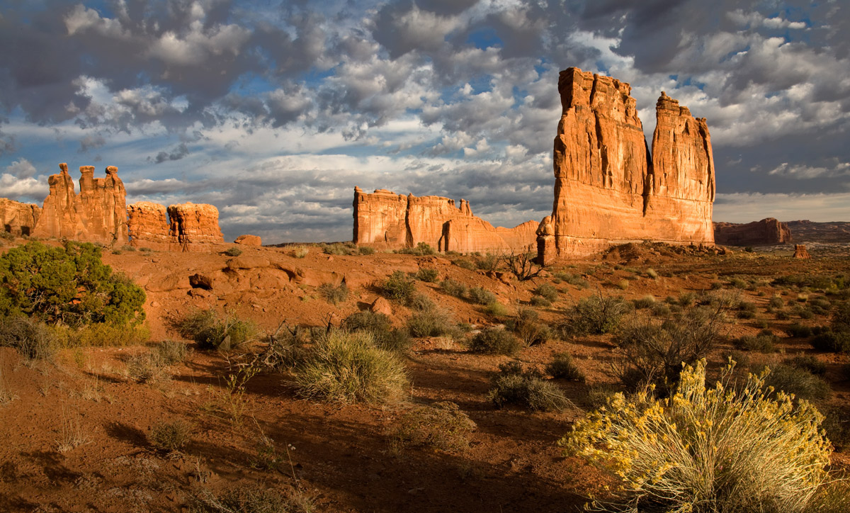
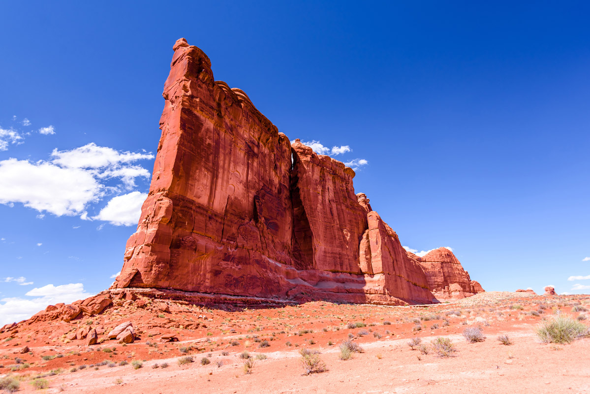
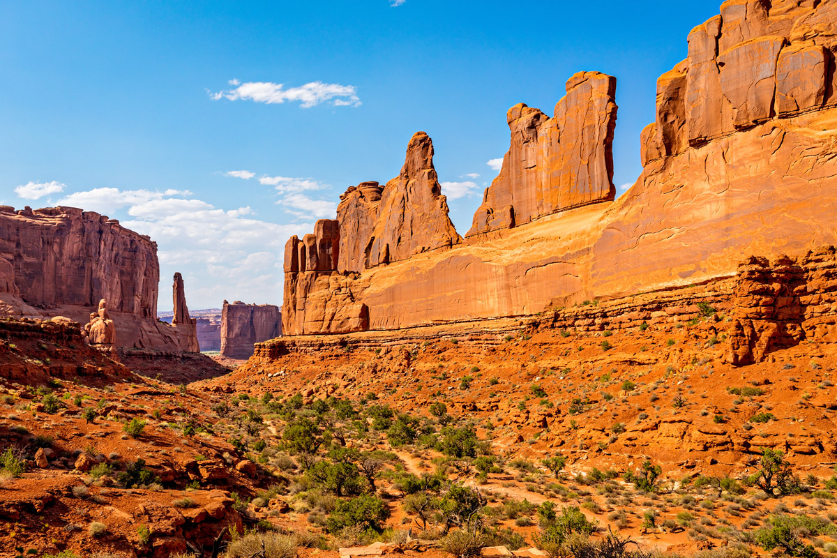
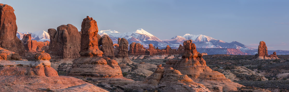
Three Gossips (l), Tower of Babel (c), The Organ (r)
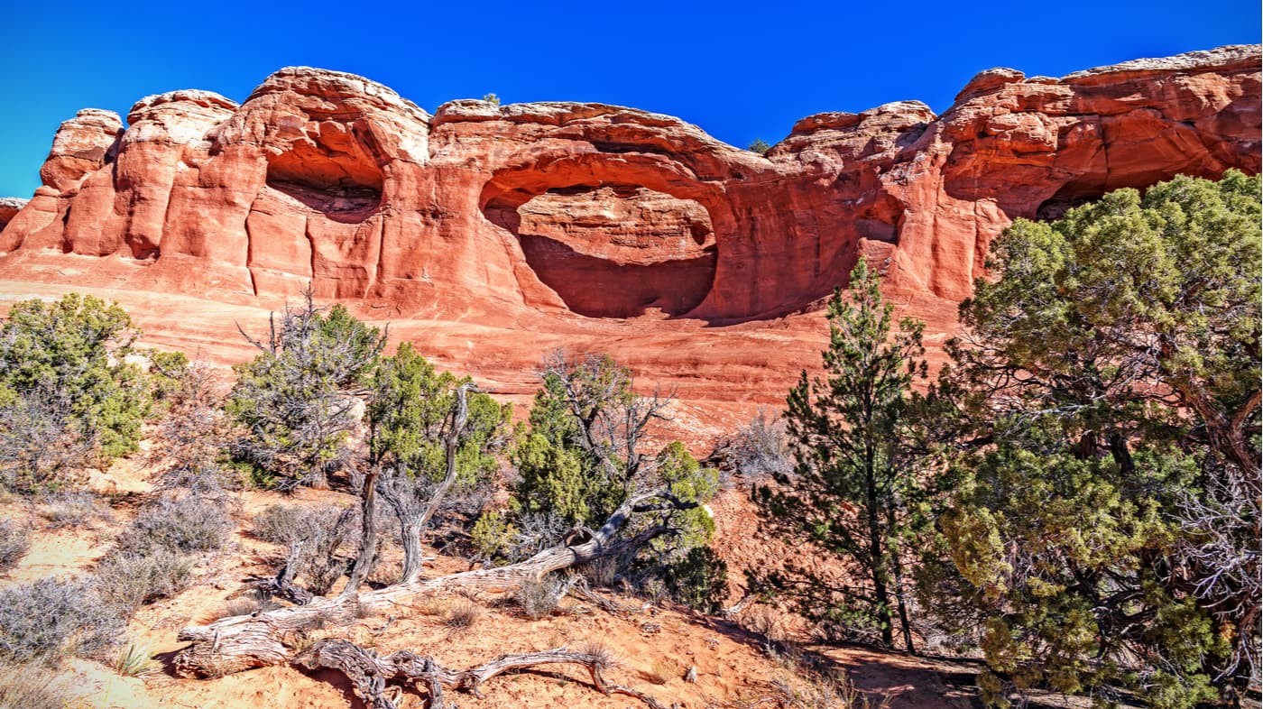
Situated just outside the city of Moab, Utah, Arches National Park’s 119.811 sq. mi. (310.31 sq. km.) of area is home to the highest density of natural rock arches in the entire world. Geologically, the current Arches National Park sits on top of an evaporite layer (a.k.a. salt bed). This evaporite layer is the main cause of the park’s abundance of arches and other geologic features as it eroded and weathered away, leaving behind the stunning sandstone designs, such as Ham Rock (5472ft/1668m) and The Organ (4764ft/1452m).
The salt bed, which can be up to thousands of feet thick, is a remnant of the ancient sea that filled the Paradox Basin of the Colorado Plateau about 300 million years ago. As the sea evaporated, it left behind all of its salt which was then compacted and covered by over 5,000 feet (1,500m) of Navajo Sandstone, Entrada Sandstone, and Cretaceous Mancos Shale during the succeeding 300 million years.
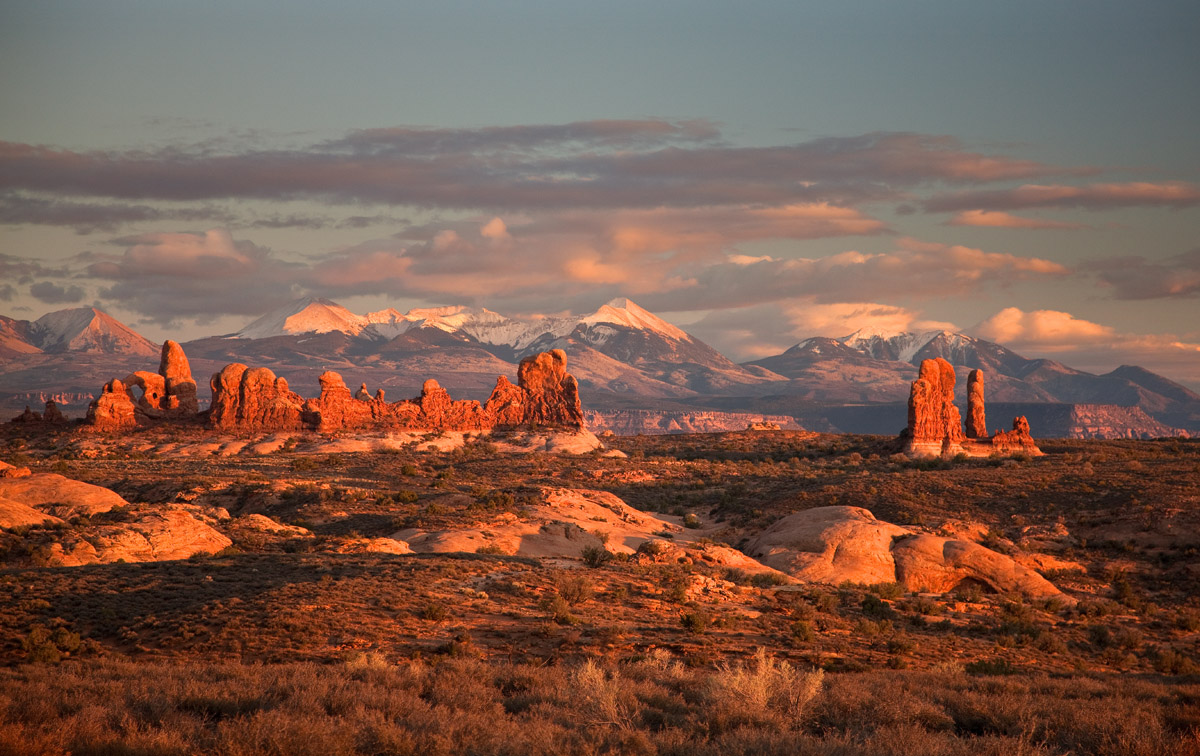
Arches National Park and snow-capped La Sal Mountains in the background
In some places, the sheer weight of all of this rock caused the underlying salt bed to liquefy and create salt domes and displacements, such as the Moab Fault. Over the years, as the underlying salt bed formed the topography of the landscape, the overlying buff-colored Navajo Sandstone and red-colored Entrada Sandstone weathered and eroded to form the features we see today and to create the arches that give the national park its name.
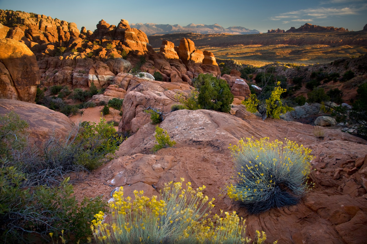
Currently, the park is home to not just rock, however, but an incredibly fragile high-desert ecosystem, particularly the cryptobiotic soil that covers some of the park’s most dusty and arid places. These days, some 1 million people visit the park each year, though the human history of the region dates well beyond the park itself.
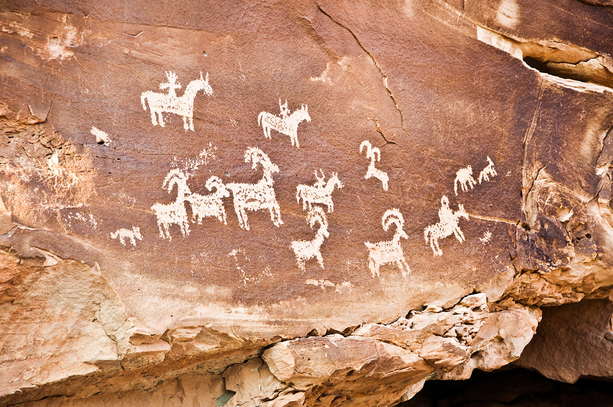
Indeed, humans have lived in the region of the current Arches National Park for at least the last 10,000 years. The indigenous Fremont people and the ancestral Puebloans lived in the area until around 700 years ago when the Ute and Paiute peoples came to occupy the region.
The Ute and Paiute people of the greater arches area first encountered Spanish missionaries in their homelands in 1775, though it wasn’t until the Mormon Elk Mountain Mission of 1855 that non-native people attempted to settle the area. Although the mission soon abandoned their attempt, a handful of ranchers and farmers settled int the Riverine Valley of Moab Utah in the 1880s, where they experienced the beauty of the natural rock formations first hand.
Word about the beauty of the region spread and, soon, the National Park Service began to take note. After a series of government investigators came to inspect the area, and President Herbert Hoover signed an executive proclamation that officially designated a small area in the region as a national monument in April 1929. Some nine years later, in 1938, President Franklin D. Roosevelt enlarged Arches National Monument to include additional features of interest while later presidents Eisenhower and Johson both signed proclamations to further enlarge the monument.
Finally, President Richard Nixon signed a Congressional bill to reduce the area of Arches but to change its designation to a National Park, rather than a monument. These days, Arches is one of the most popular parks in the National Park System, thanks to the area’s abundant hiking, climbing, biking, and camping opportunities. Plus, Arches is located close to Canyonlands National Park, so you can experience two jewels of the National Park Service in one trip! What could be better?
Although Arches National Park isn’t the largest park in the United States, it sure does pack a lot of awesome outdoor activity into one location. Here are some of the major hiking areas in the park:
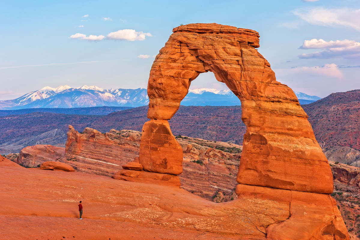
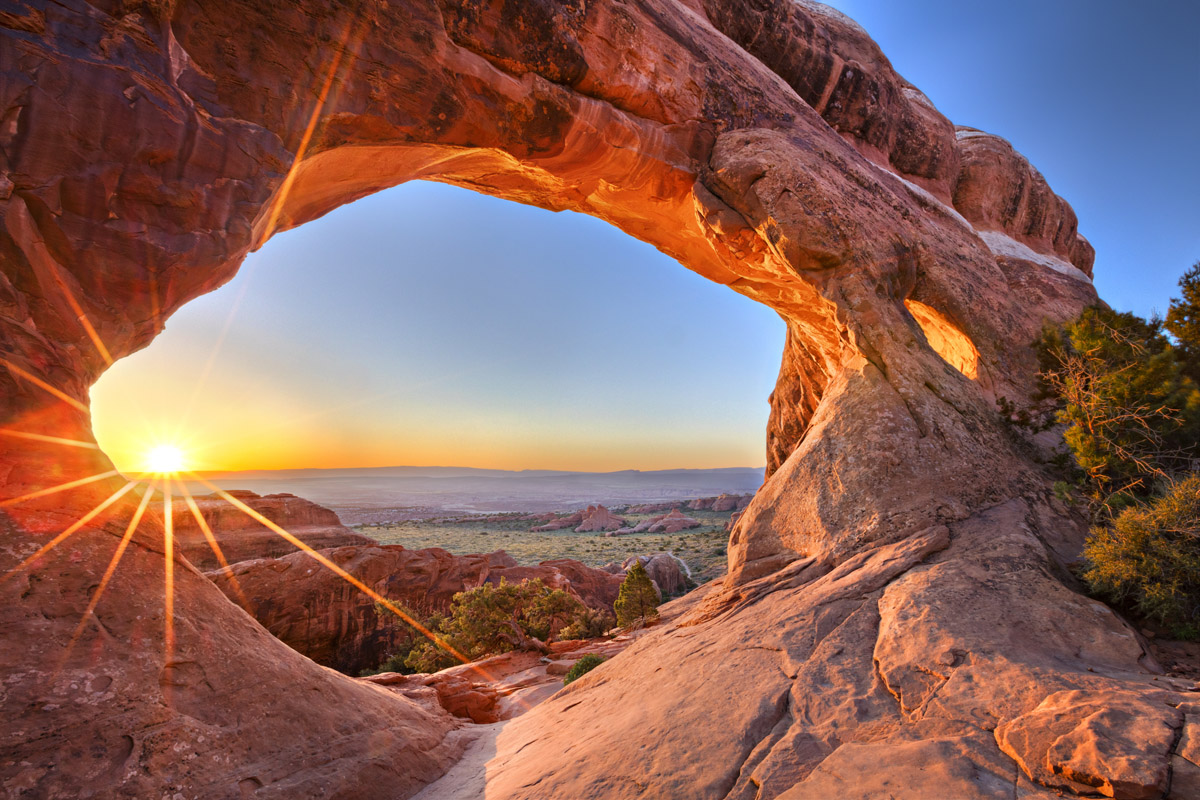
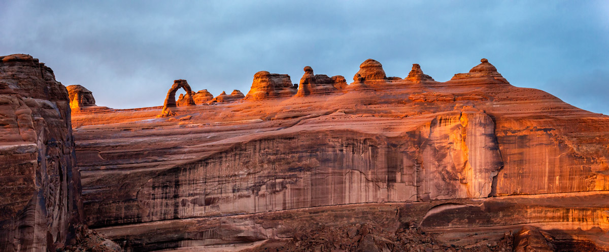
Perhaps the best known natural rock arch in the United States, Delicate Arch is one of the most popular hiking destinations in Arches National Park. Commonly seen as the symbol of Utah, hiking to Delicate Arch is a must-do activity during any visit to the park.
Hikers can choose a 100 yard (91m) one-way wheelchair-accessible walk to view the arch from below. Others can opt for a 1 mile (1.6km) round-trip hike up to see Delicate Arch from an alternate viewpoint. To reach the arch itself, you start at Wolfe Ranch (the main parking area) and hike 1.5 miles (2.4 km) one way to the arch. Delicate Arch is not to be missed!
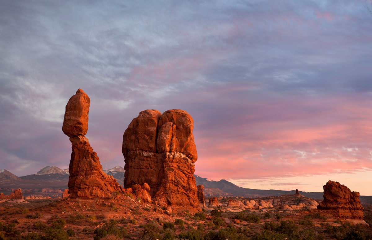
Located right off the park’s main road, the short loop trail around Balanced Rock lets you see this amazing rock formation from all angles. The 0.3 mile (0.5km) long loop trail is wheelchair-accessible and offers great views of The Windows and the La Sal Mountains.

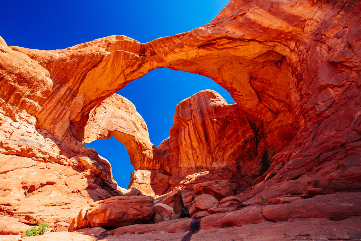
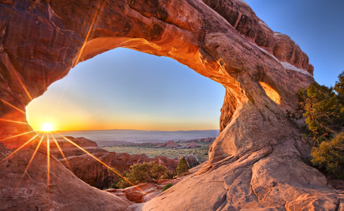
The trail through The Windows is 1 mile (1.6km) one-way and takes you through a climbing gravel trail to see North Window, South Window, and Turret Arches. Hikers can return by the same maintained trail or take a slightly longer primitive trail around the arches for different views of the area.
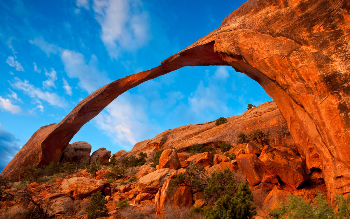
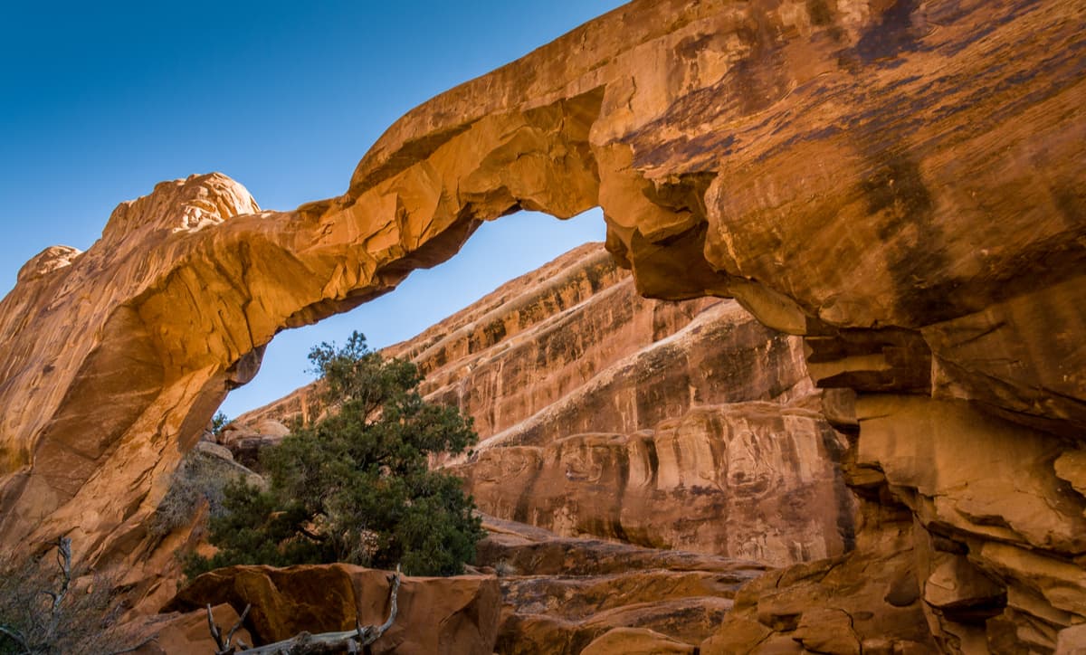
The fifth-longest natural arch in the world, Landscape Arch is accessible by a 1.6 mile (2.6km) trail that departs from the Devils Garden trailhead. The trail itself is relatively flat, though there are side trip options to both Tunnel and Pine Tree Arches for the more adventurous among us.
At the extreme northern end of the main park road is the very popular Devil’s Garden Trailhead. The primary attraction for most visitors here is the famous Landscape Arch (see above). But there is a lot more to see from this trail than just the famous arch, and this deserves a full day of exploration. After Landscape Arch the trail becomes slightly more rugged and is not advised for those who are not well conditioned – or those who have a fear of heights or are unsteady on their feet. The trail first bypasses the area where the Wall Arch used to be – it collapsed on August 4, 2008, thankfully at night when nobody was near it. The collapse resulted in a temporary closure of the trail beyond Landscape Arch while the trail was being rerouted.
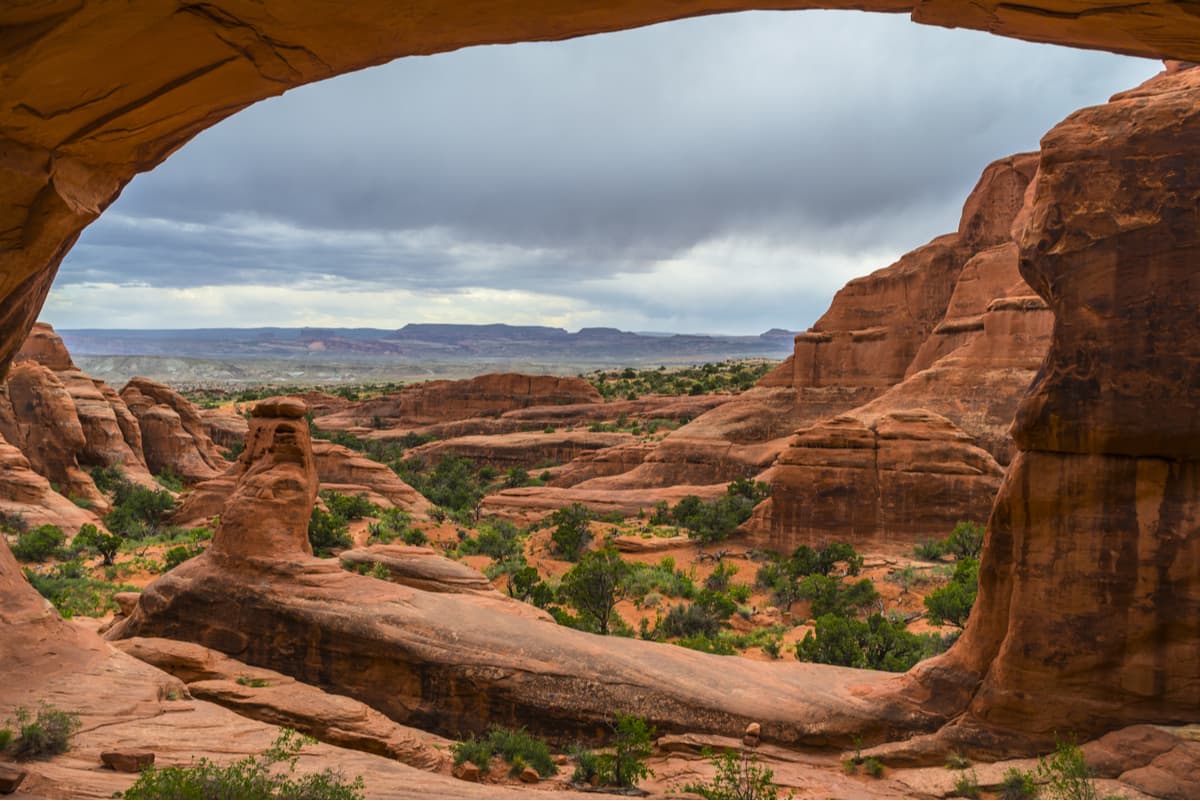
Continuing along this trail, you will come to a trail junction on the left which affords a fine detour to two very different arches – Navajo Arch and Partition Arch, the latter offering a great view through it to the landscape beyond. You can walk through this arch but must be mindful of the steep cliffs just after it. Each arch is on a separate spur trail, but to visit both is not a significant detour. It is well worth doing as long as you are already there. But be prepared, as there is more to come on this hike.
Double “O” Arch is indeed two arches, but one above the other, not side-by-side as at other locations in the park. From the previous trail junction, continue north on the main trail which will take you along the top of sandstone fin, which has some significant exposure along one side. Probably not a good idea to do this when icy conditions exist.
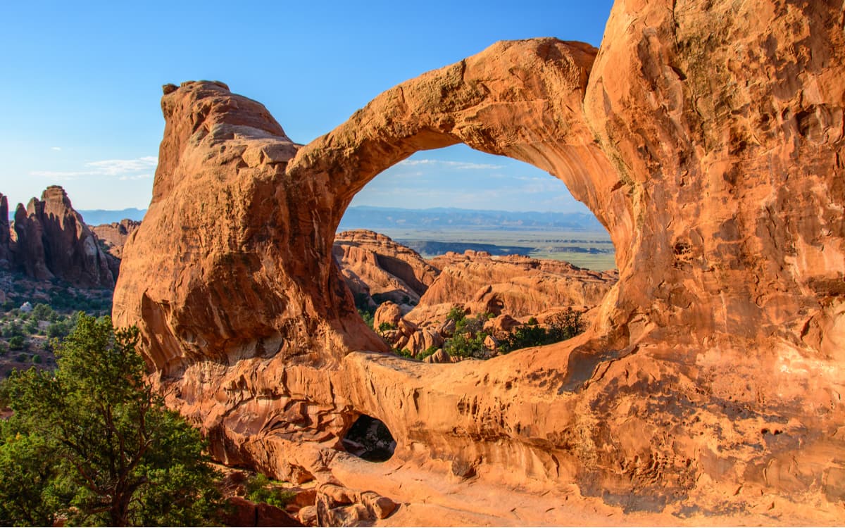
When you arrive at Double “O”, you can climb through the smaller, lower arch and hike up behind it to get the best overview of both arches. If, after seeing Double “O” Arch, you haven’t had enough yet, you can continue another half mile to Dark Angel, a 150-foot sandstone tower standing as sentinel over the arches and fins surrounding it. If you take in all of these fantastic features on the Devil’s Garden Trail, you will have completed about seven miles – not a difficult hike, but one that may not be for everybody.
This trailless canyon is a narrow labyrinth of paths for the most adventurous of visitors to Arches National Park. A trip into the Fiery Furnace is certain to be a highlight of any trip to Arches, though it’s accessible only during a ranger-led walk or by obtaining a day-use permit.
The Garden of Eden is a beautiful open swath of land in the Windows area of Arches National Park. Here, visitors can explore freely, as there are no designated trails, and set out to see some stunning features, such as Serpentine Arch and Owl Rock. The area is popular with climbers and hikers alike as the region’s desert towers provide ample adventure and photo opportunities.
This trailhead, about two miles north of the Fiery Furnace viewpoint, provides a wonderful hike that takes in four arches and is not nearly as heavily visited as some of the other more popular hikes. First is Sand Dune Arch, just a short distance from the trailhead. This unique arch is located deep between two gigantic fins in a well-shaded area. Most visitors will turn back here, but the trail continues on a much longer loop of about 4.5 miles (6.8 km) that takes in Broken Arch, through which the trail climbs, and then continues to a short spur trail to Tapestry Arch. Don’t miss this wonderful diversion. The trail then continues to the Devil’s Garden Campground, from where you can climb up to and under Skyline Arch from the east side. Then the loop continues back to the starting point.
This delightful hike is a bit off the beaten path. About halfway between the Sand Dune Arch and Skyline Arch trailheads, there is an intersection where the Salt Valley Road starts. It is a very sandy road that may be difficult in rainy conditions, although normal passenger cars have no difficulty when dry. After about seven miles, there is a turnoff to the Tower Arch Trailhead parking area, which is about one mile further along the Klondike Bluffs Road. There are just a few places to park here, but chances are good that you may not find another car there when you arrive. But fear not, this is an official trailhead and the 3.5-mile round trip hike along the Klondike bluffs to Tower Arch is a true pleasure. Just before arriving at Tower Arch, look on the right to the cliffs above and you can see Parallel Arch, well disguised by the cliffs behind it. The view through Tower Arch to the distant Canyonlands is impressive. Take plenty of water on this hike – it is hot and dry here.
During a trip to Arches National Park, you have a few options for places to stay. Within the park itself, there is only one place to sleep - the Devils Garden Campground. The campground fills up quickly between March and October, when reservations are required, and is available on a first-come-first-served basis from November to February.
Alternatively, you can stay outside of the park and explore all it has to offer during the day time. Here are some places to stay during your trip to Arches National Park:
Located some four hours northwest of Arches National Park, Salt Lake City is the capital of Utah and home to over 200,000 people. Salt Lake City has an international airport, plenty of hotels and restaurants, as well as an abundance of outdoor gear stores for your adventures.
Situated east of the great Rocky Mountains is the city of Denver, Colorado. Although it’s located five and a half hours east of Arches, Denver’s international airport and plentiful outdoor resources make it a great place to start a trip to the Utah Desert. Plus, on your drive west, you can stop at Colorado National Monument to double up on your chance to see some awesome natural landscapes.
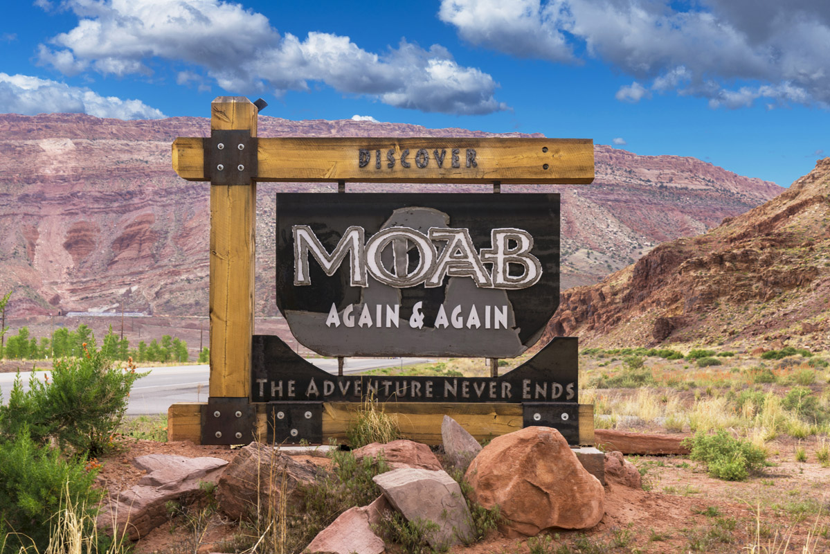
The town of Moab, Utah is located just a 10-minute drive from the Arches National Park Visitor’s Center, making it an ideal place for a basecamp location. In Moab, you can find hotels, restaurants, outdoor gear stores, and plenty of camping opportunities for those looking to “rough it” during their trip. Moab is also a great basecamp location for trips into Canyonlands National Park, Capitol Reef National Park, Canyon of the Ancients National Monument, and Goblin Valley State Park.