
Scan the QR code and open PeakVisor on your phone
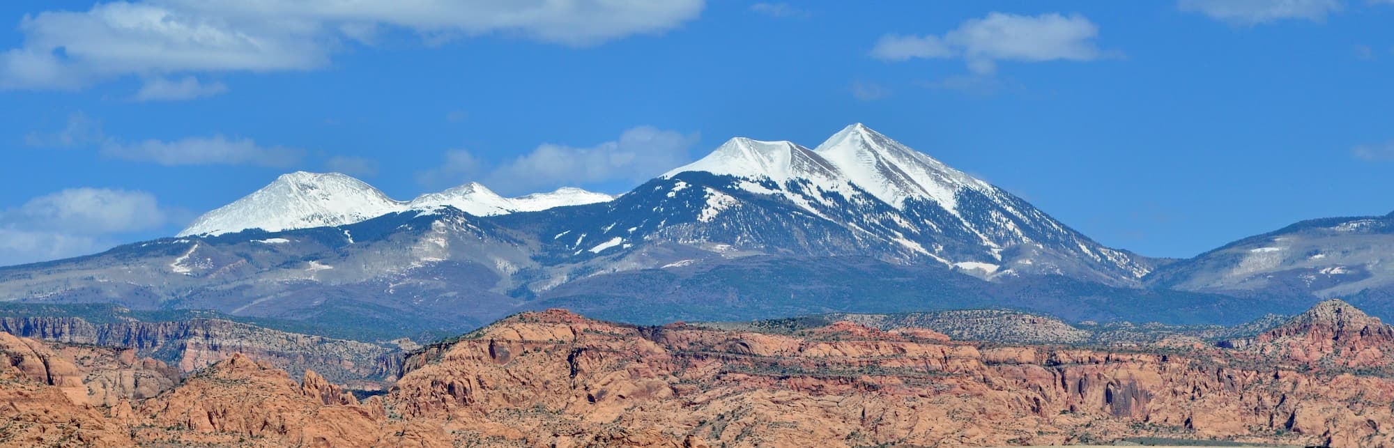
Rising dramatically above the town of Moab and the desert landscape below, the La Sal Mountains are a range of rugged peaks located along the border of the US states of Utah and Colorado. The range contains 62 named peaks, the highest and most prominent of which is Mount Peale (12,720ft/3,877m).
The La Sal Mountains are located to the southeast of the town of Moab, Utah in Grand and San Juan counties. Additionally, the range just barely crosses into Colorado’s Montrose County to the south of the city of Grand Junction.
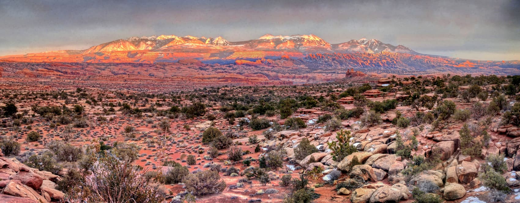
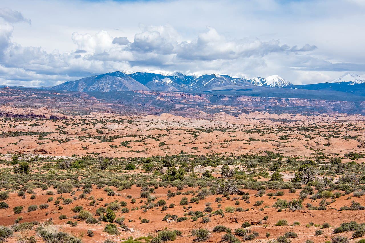
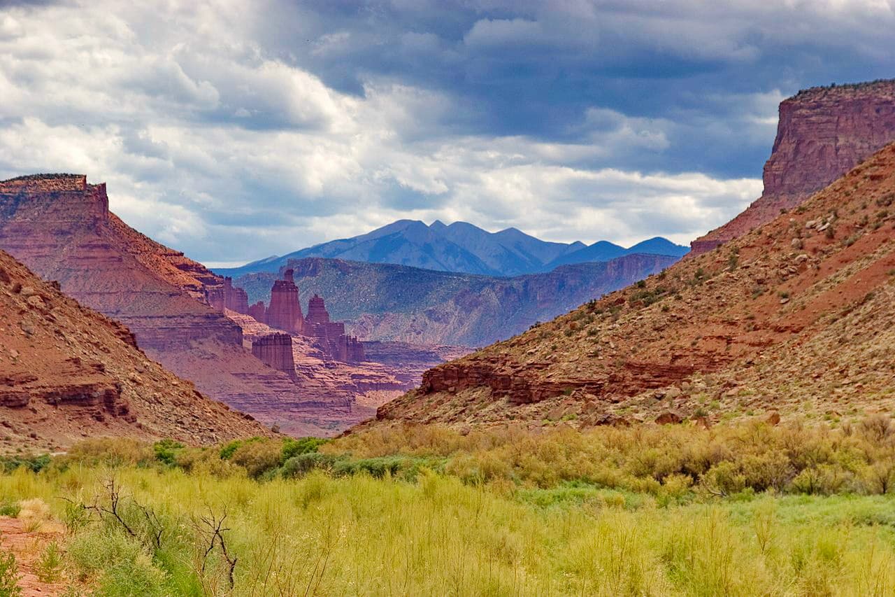
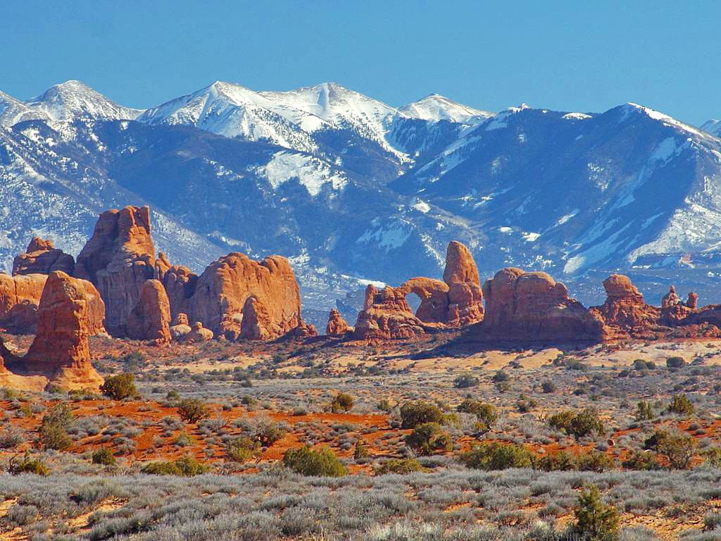
Interestingly, the La Sal Mountains are somewhat isolated from other ranges as they are located in a section of Utah and Colorado that’s mostly dominated by deserts and canyons. They are located just to the southeast of Arches National Park and to the northwest of Canyonlands National Park.
To the east of the La Sal Mountains are the peaks of the Uncompahgre Plateau, which is included as part of the Dominguez-Escalante National Conservation Area, the Dominguez Canyon Wilderness Area, and the Uncompahgre National Forest.
Further to the south of the La Sal Mountains is the Bears Ears National Monument and the Dark Canyon Wilderness Area, near the city of Monticello.
Sections of the La Sal Mountains are managed as part of the Manti-La Sal National Forest, the Sewemup Mesa Wilderness Study Area, and the Behind The Rocks Wilderness Study Area.
The La Sal Mountains are part of the Colorado Plateau, which is located to the south of the Western Rocky Mountains and to the west of the Southern Rocky Mountains.
While the majority of the plateau is dominated by sedimentary rocks, such as Entrada sandstone and Navajo sandstone, which are characteristic of the region’s high desert, the La Sals are igneous in origin.
Like the two other major ranges on the plateau, the Henry Mountains to the west and the Abajo Mountains to the south, the La Sal Mountains are the result of widespread igneous intrusions. Over time, as the surrounding sedimentary rock eroded, the more-erosion resistant igneous rocks of the La Sal Mountains took the shape that we see today.
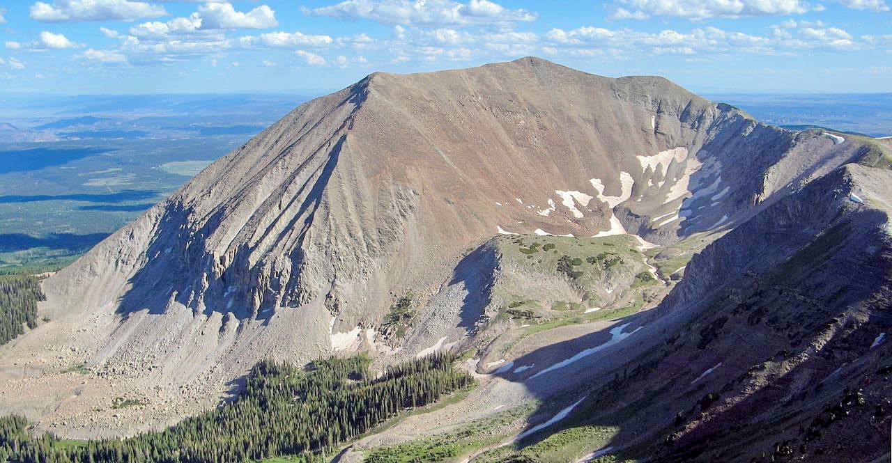
The La Sal Mountains exist in three distinct clusters, each of which is separated by a pass. Some of the major peaks in the range include Mount Mellenthin, Mount Tukuhnikivatz, Manns Peak, and Mount Waas.
Although the landscape below the La Sal Mountains is dominated by the arid desert of the Colorado Plateau, within the range, the landscape features diverse alpine ecosystems, particularly around Mount Peale, Mount Mellenthin, and Mount Tukuhnikivatz.
Within these high mountain regions, there are a number of endemic plant species and some, including yellow dot saxifrage (Saxifraga bronchialis), Eastwood’s podistera (Podistera eastwoodiae), and Besseya alpine, are found nowhere else in Utah.
Above the desert below, the mountains also feature pinyon and juniper forests, which transition into ponderosa pines, quaking aspens, fir, and spruce groves at slightly higher elevation. Wildlife in the La Sals include mule deer, mountain lions, bobcats, foxes, elk, coyotes, and black bears.
Humans have lived in and around the La Sal Mountains for thousands of years. While many groups have called the region home, the Ute and the Pueblo people were among the most recent inhabitants.
In 1776, the Domínguez-Escalante Expedition, which was led by two Spanish Franciscan priests, crossed near the region as the group attempted to find an overland route between Santa Fe, New Mexico, and Monterey, California. Eventually, the route between Santa Fe and Los Angeles, California became part of the Old Spanish Trail, the northern part of which traveled through one of the passes in the La Sal Mountains.
During the mid 1800s, a group of Mormon settlers established a trading fort along the Colorado River near the La Sal Mountains, though the fort was later abandoned. Some decades later, in 1878, Brigham Young directed a new group of settlers to head to the region just northeast of the La Sal Mountains to establish a town - Moab, which was officially incorporated in 1902.
In 1906, the La Sal National Forest, which is now managed as the Manti-La Sal National Forest, was established to manage the land east of the Colorado River in the La Sal Mountains and the Abajo Mountains.
The region around the La Sal Mountains was originally predominantly agricultural, but with the discovery of uranium and vanadium in the area in the 1910s and 1920s, and the later discovery of manganese and potash, Moab’s economy became based on mining.
However, in the 1970s, Moab’s tourism industry became a major economic driver in the region, partly due to the fact that John Ford used the desert and the La Sal Mountains as a backdrop for some of his movies.
These days, Moab remains a major outdoor recreation destination. Particularly during the summer months, when temperatures in nearby Arches and Canyonlands National Parks can reach triple digits, the La Sal Mountains offer a high-elevation respite front the what and plenty of hiking opportunities for all to enjoy.
The La Sal Mountains are a highly popular hiking area, though many of the peaks in the range are accessible only by off-trail scrambling. Here are some trails to check out:
The 5 mile (8km) Gentry Canyon trail offers a moderate amount of climbing through Huntington Canyon. It provides great views, alpine meadows, and aspen groves. It also offers good connections to nearby trails and off-trail peak ascents.
For hikers that want a bit of adventure, the 5 mile (8km) Bull Pasture Trail offers excellent views of Huntington Canyon, Gentry Ridge, and East Mountain after a steep ascent to a rocky ridge.
Featuring nearly 2,000ft (609m) of ascent over 4 miles (6.4km), the Horse Canyon Trail is a good choice for hikers that want to visit some stunning alpine meadows. From the Horse Canyon Trail, there are also great links to other trail networks which offer additional adventures.
Here are some of the best places to stay before or after visiting the La Sal Mountains:
Moab Utah is located just a short drive away from the La Sal Mountains on the outskirts of Arches and Canyonlands National Parks. It is an exceptionally popular destination for hiking, climbing, slacklining, BASE jumping, and mountain biking, so it’s easy to find outdoor gear in town.
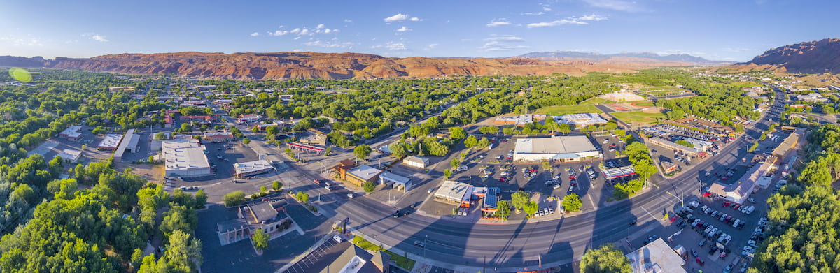
There are plenty of campgrounds, hotels, restaurants, and shops to check out in Moab. The city is located along US Route 191, which provides good road access around the state. Additionally, MOab has a small airport with flights to Denver.
Salt Lake City is located to the northwest of the La Sal Mountains, just under a 4 hour drive from the city of Moab. Salt Lake is the capital and most populous city in Utah, with over 200,000 residents. It is easy to get to by road and it has a major international airport with good connections around the United States.


_(2).jpg)
.jpg)
.jpg)