Scan the QR code and open PeakVisor on your phone
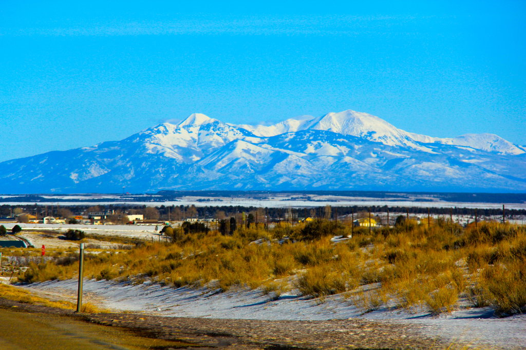
The Abajo Mountains lie in southeastern Utah, USA, within the Manti-La Sal National Forest. Known by locals as the Blue Mountains, the range is a local secret, offering scenic drives and little foot traffic on your hikes. Some trails also accommodate mountain bikes, dirt bikes, and horses. The range has 17 mountains. The highest and most prominent is Abajo Peak at 11,358 ft (3,462 m) tall and with a prominence of 4,551 ft (1,387 m).
Located in San Juan County in southeastern Utah, the Abajo Mountains are not well known by outsiders and offer solitude on the trail. The range falls within Manti-La Sal National Forest and part of Bears Ears National Monument, south of Canyonlands National Park, and near the Dark Canyon Wilderness Area.
The Abajo Mountains stretch approximately 16 mi (26 km) long and 10 mi (16 km) wide. They can be divided into two parts. The northern section, Shay Mountain, is much smaller and almost entirely separate from the southern section. When referring to the southern section, it is often further divided into eastern and western sides. Abajo Peak is the tallest point in the range at 11,358 ft (3,462 m).
Drainage ways radiate out from the mountains. North Cottonwood Creek flows to the northwest. Titus Canyon, Shay Canyon, Harts Draw, and Indian Creek drain to the north where they all empty into the Colorado River. Spring, Vega, North, Pole, South, Verdure Creeks flow east into Montezuma Creek and from there into the San Juan River. Recapture and Johnson Creeks, Dry Wash, Allen Canyon, and Mule Canyon flow to the south and southwest.
The range is also known as the Blue Mountains. The Colorado border is only 25 miles (40 km) away and Monticello and Blanding are the closest small towns. The name Abajo means below in Spanish. One idea is that the name originated from the range’s location below the fords of the Colorado and Green Rivers. Another possible explanation is because the mountains’ rounded peaks seem lower than the jagged peaks of the nearby La Sal and Henry Mountains.
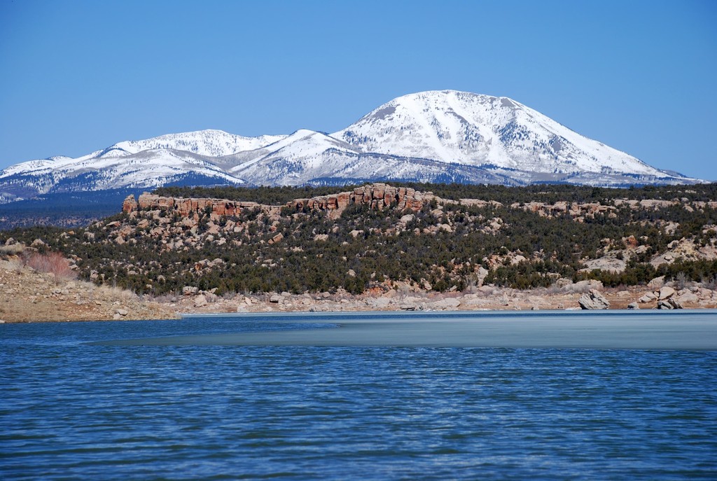
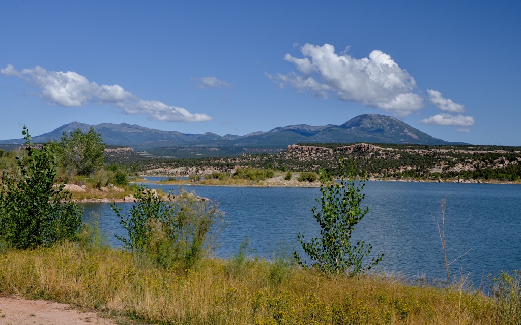
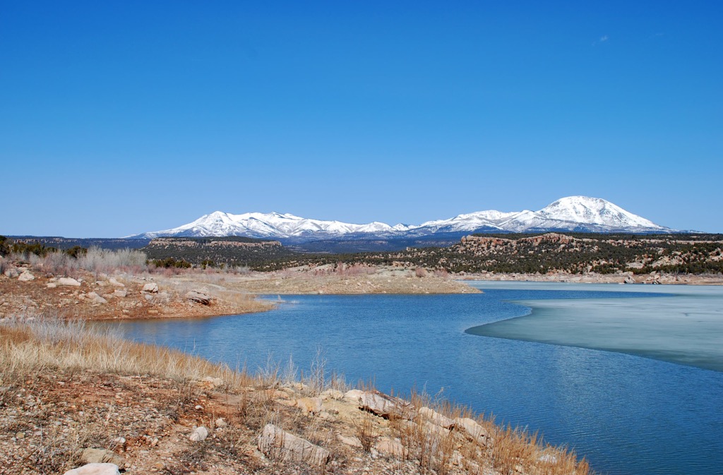
The mountains are popular with locals for hiking, fishing, mountain biking, climbing, horseback riding, hunting, scenic drives, and riding motorcycles. In winter, the trails and slopes are ideal for cross country skiing, backcountry skiing, snowshoeing, and snowmobiling. There are several lakes for anglers to utilize including Loyd’s, Foy, and Monticello Lakes.
The range formed 35 million years ago as the Colorado Plateau began to lift. The Abajos are distinct in that they are one of only two volcanic ranges in southeastern Utah. These laccoliths formed as magma slipped through cracks in the sandstone layers, rather than via explosive volcanic action. The range is primarily composed of granitic type rock but without the cliffs and spires often seen with granite structures.
Three ecological zones are present in the range. Along the mountains’ base is upper Sonoran desert landscape, characterized by sagebrush, alkali plains, and piñon pine and juniper. Scrub oak, manzanita, and low shrubs grow along the upper edges of this zone.
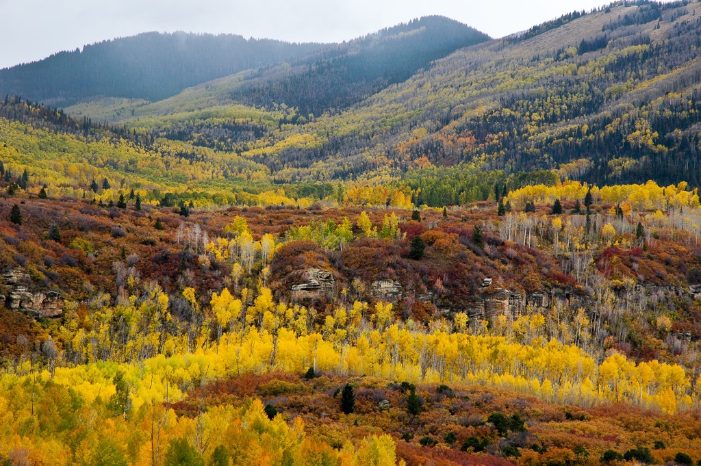
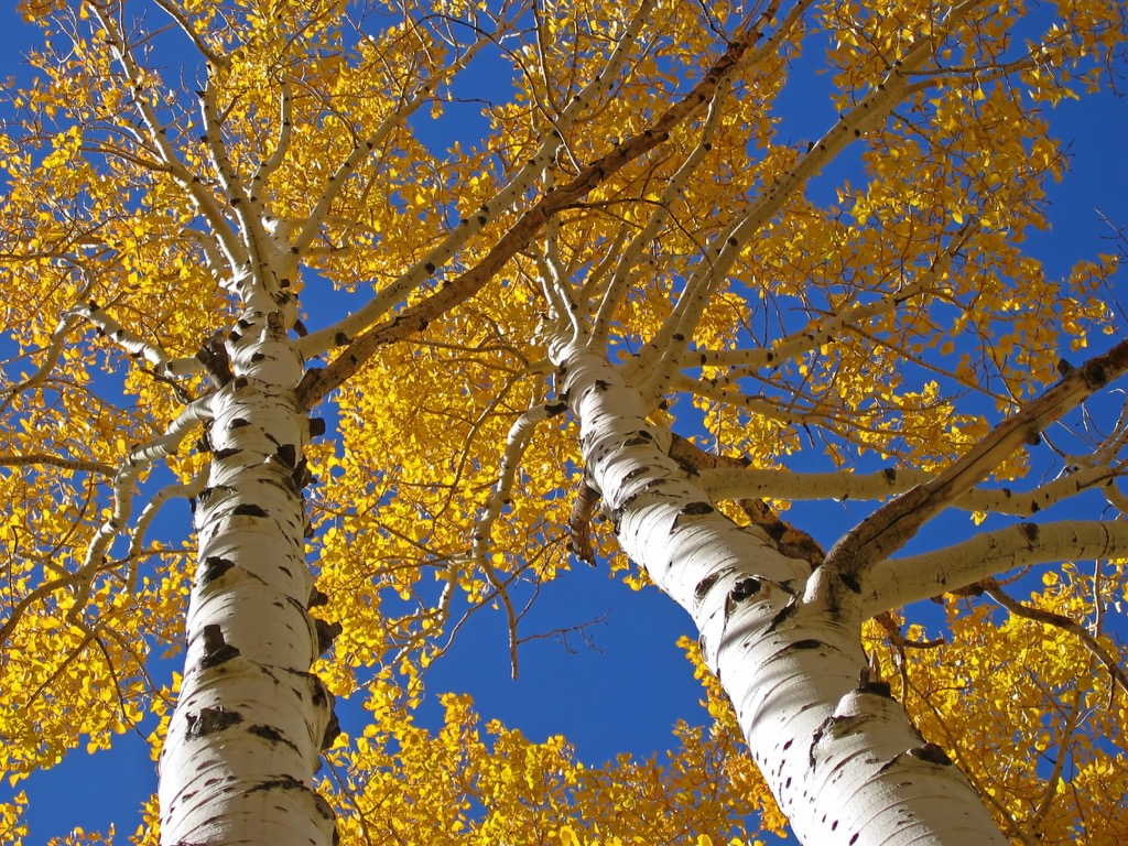
The transition zone begins along the slopes. Here there are grassy valleys, bushes such as elderberry and serviceberry, aspen, maples, willows, alders, and cottonwoods. Moving up to the boreal zone at the range’s higher elevations, the forests consist of Engelmann spruce, balsam fir, limber pine, and foxtail pine.
The region experiences long summers and short winters. The mountains receive up to three times more precipitation than the surrounding canyons and mesas.
Several endemic and rare species exist in the range, among them Chatterly’s onion, the Abajo Daisy (endemic to the range), Abert’s squirrel, three-toed woodpeckers, and the many-lined skink. Common species, though not always seen, are black bear, mountain lion, mule deer, and elk.
The Abajo Mountains were part of the ancestral hunting territory of several Native American tribes. Although there is not much evidence found at higher elevations, numerous sites and rock art along the lower slopes and foothills indicate that Native Puebloans used the area extensively during the 800s.
Later the Weeminuche Utes and San Juan Band Paiutes moved into the region. They were able to establish camps with sufficient water and natural resources for foraging and hunting. The range was also used by Navajos to collect herbs and parts of trees for medicinal purposes.
During the early and mid-1800s, the Old Spanish Trail ran near the base of the mountains. Despite this traffic, it was not until the 1880s that cattle companies moved in and began to graze cattle in the mountains during the summer. This influx of ranchers created competition for resources with Native Americans.
The towns of Monticello and Blanding were founded in 1887 and 1905 respectively. This naturally increased the permanence of settlers in the region who quickly branched out to support themselves through managing livestock, farming, lumbering, and mining.
In 1907, Theodore Roosevelt created the Monticello Forest Reserve in the Abajo Mountains and Elk Ridge. Two years later, the area was officially changed to La Sal National Forest.
Except for the road to the summit of Abajo Peak, there are no trails to peaks in the range. Hikers can forge their own path cross country but should be confident navigating and prepared with gear for all weather conditions. The Forest Service has a pamphlet with information on trails for hiking, biking, motorcycles, and driving routes, including what trails are open at what time of year.
One of the more popular scenic drives is Abajo Loop. The road travels across the mountain range and ends on the north side near Highway 211 and Canyonlands National Park. From the loop, one can take a spur road called South Creek Road to summit Abajo Peak. Hikers can also follow the road, or attempt to find their own path to the top.
There are several communication towers on the summit and the Abajo Loop is not recommended for larger RVs and trailers.
Robertson Pasture Trail runs 6 mi (9.7 km) from Forest Road #079 (North Creek) to the east end of Foy Lake (Spring Lake) near Forest Road #100 (Indian Creek). The first part of the trail has steep ups and downs, followed by a moderate middle stretch, before a series of dips and climbs at the very end. The trail passes through pine, fir, and aspen forests.
Measuring 5.3 mi (8.5 km) from Forest Road #095 (The Causeway) to Forest Road #354 (Jackson Ridge), the Skyline Trail climbs about 2,460 ft (750 m) and has great lookout points along the way. If traveling west to east, the last mile has a steep descent.
The Red Ledges Trail is 5 mi (8 km) long and can be accessed from Forest Trail #018 (Aspen Flat) or Forest Trail #020 (Robertson Pasture). The route first descends into Indian Creek basin then climbs towards the junction with Aspen Flat trail.
The above trails can be connected to make loops and are open to bikers, hikers, and horseback riders. Check the Forest Service pamphlet for specific uses for each trail.
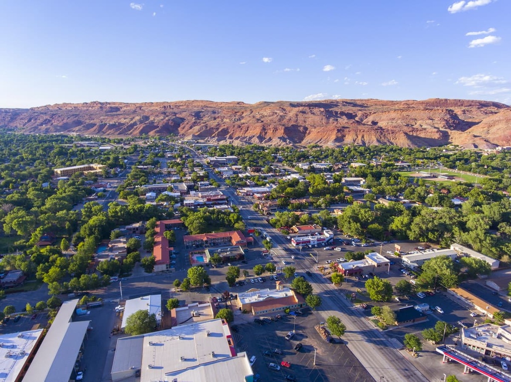
Camping is allowed throughout the mountains and the towns of Monticello (population 2,500) and Blanding (population 3,500) are located near the range to the east and south respectively.
Only two hours drive away to the north is Moab with a population of 5,000 people. The town is best known as being the entry point to Arches National Park. The town also boasts a big art scene that celebrates southwestern arts through sculpture, murals, live music, and art gardens. The Colorado River flows through town offering a scenic waterway and sacred rock art sites are located near the town.
Camping, RV parks, B&Bs, guest houses, hotels, and resorts are all available. The dining scene is decent for the town’s small size, offering microbreweries, southwestern meals, and a handful of other cuisines and fine dining options.
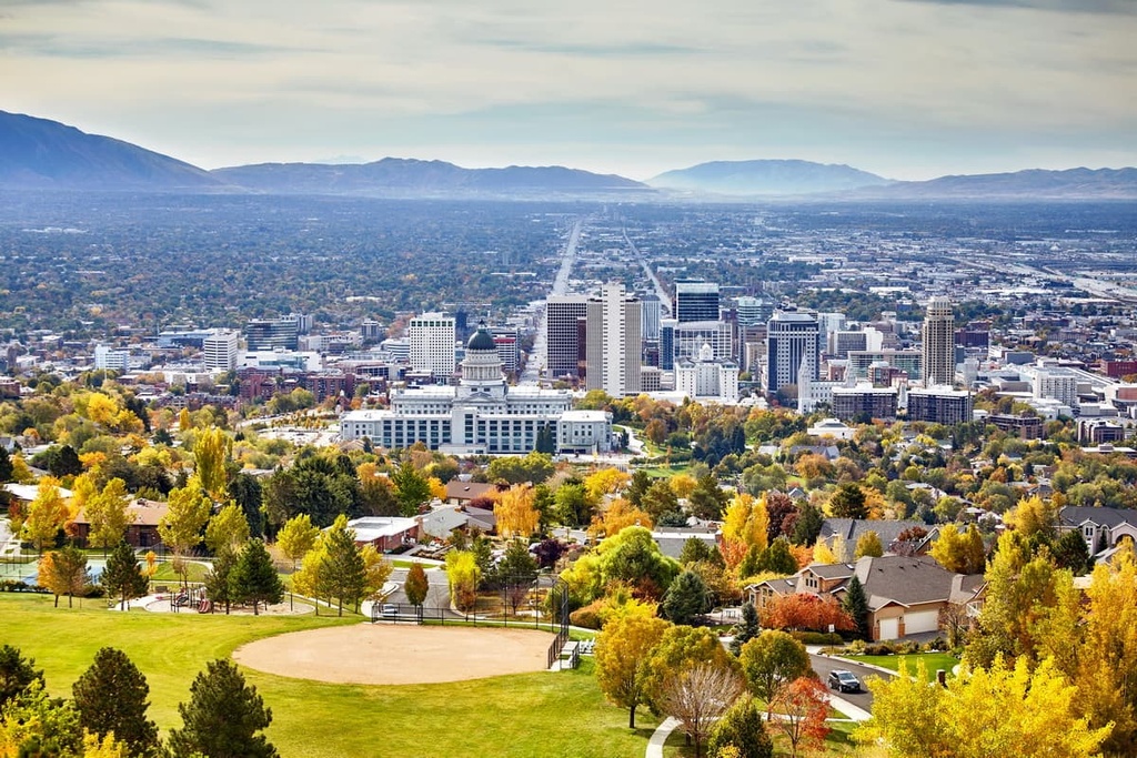
Salt Lake City, population 200,000, is a five and a half hour drive to the northwest. A must-see while there is the Great Salt Lake – the largest natural lake west of the Mississippi and the largest saltwater lake in the western hemisphere. The remains of the prehistoric lake called Lake Bonneville can be seen while hiking or biking on the trail that follows the ancient shoreline. The Great Salt Lake Marina is an excellent option for kayaking and boating, and Antelope Island State Park is the best spot to swim.
Around the city, be sure to visit the site of the 2002 Winter Olympics and dive into the museum scene with a stop at the Utah Museum of FIne Art, the Urban Arts Gallery, the Utah Museum of Contemporary Art, the Natural History Museum of Utah, or The Museum of Natural Curiosity.
The city has a wide selection of restaurants with diverse cuisines, comfort foods, and innovative chefs bringing something new to the table. Lodging in this city runs the gamut from secluded, upscale hotels and lodges, B&Bs and hotels, and campgrounds.