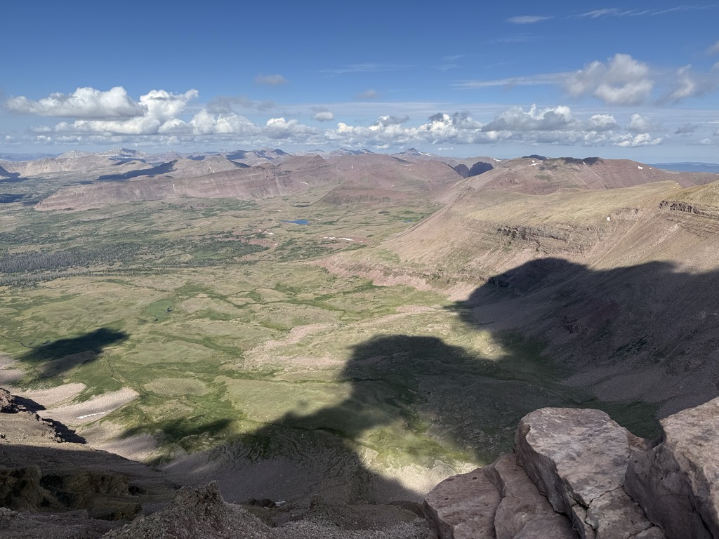
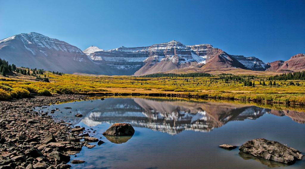
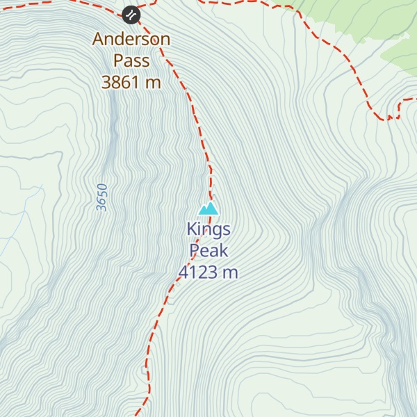
Kings Peak is the highest peak in the U.S. state of Utah,
with an elevation of 13,528 feet (4,123 m) NAVD 88.
There's a hiking trail (T2) leading to the summit.
By elevation Kings Peak is
# 1 out of 1339 in the Western Rocky Mountains # 1 out of 3409 in Utah # 1 out of 79 in Duchesne County # 1 out of 70 in Ashley National Forest # 1 out of 35 in High Uintas Wilderness Area # 1 out of 178 in the Uinta Mountains
By prominence Kings Peak is
# 1 out of 1339 in the Western Rocky Mountains # 51 out of 91437 in USA # 1 out of 3409 in Utah # 1 out of 79 in Duchesne County # 1 out of 70 in Ashley National Forest # 1 out of 35 in High Uintas Wilderness Area # 1 out of 178 in the Uinta Mountains
We use GPS information embedded into the photo when it is available.
3D mountains overlay
Adjust mountain panorama to perfectly match your photos because recorded by camera photo position might be imprecise.
Move tool
Rotate tool
Zoom
More customization
Choose which peak labels should make into the final photo and what photo title should be.
Next
Photo Location
Satellitte
Flat map
Relief map
Latitude
Longitude
Altitude
OR
Latitude
°'''
Longitude
°'''
Apply
Register Peak
Peak Name
Latitude
Longitude
Altitude
Register
Teleport
PeakVisor
This 3D model of Sagarmatha National Park in Nepal was made using the PeakVisor app topographic data. The mobile app features higher precision models worldwide, more topographic details, and works offline. Download PeakVisor maps today.
Download OBJ model
PeakVisor
The download should start shortly. If you find it useful please consider supporting the PeakVisor app.
PeakVisor for iOS and Android
Be a superhero of outdoor navigation with state-of-the-art 3D maps and mountain identification in the palm of your hand!