Scan the QR code and open PeakVisor on your phone
The Routt National Forest is an outdoor recreation destination situated in the northwestern part of the US state of Colorado. The forest is home to rugged mountain ranges, alpine lakes, and stunning scenery. The tallest peak in the national forest is Mount Richthofen at 12,930 ft (3,941 m) in elevation and the most prominent peak in the forest is Mount Zirkel with 3,478 ft (1,060 m) of prominence.
The Routt National Forest is located in northwestern Colorado within the Southern Rocky Mountains. The forest is part of the larger Medicine Bow-Routt National Forest alongside Medicine Bow National Forest. The Routt National Forest portion of the combined area covers 1.2 million acres (485,600 ha) of land.
The Continental Divide runs through the national forest, splitting it up into two distinct sections. In particular, the Gore Mountains, Park Range, Sierra Madre, and Never Summer Mountains are subranges of the Southern Rocky Mountains that run throughout the forest.
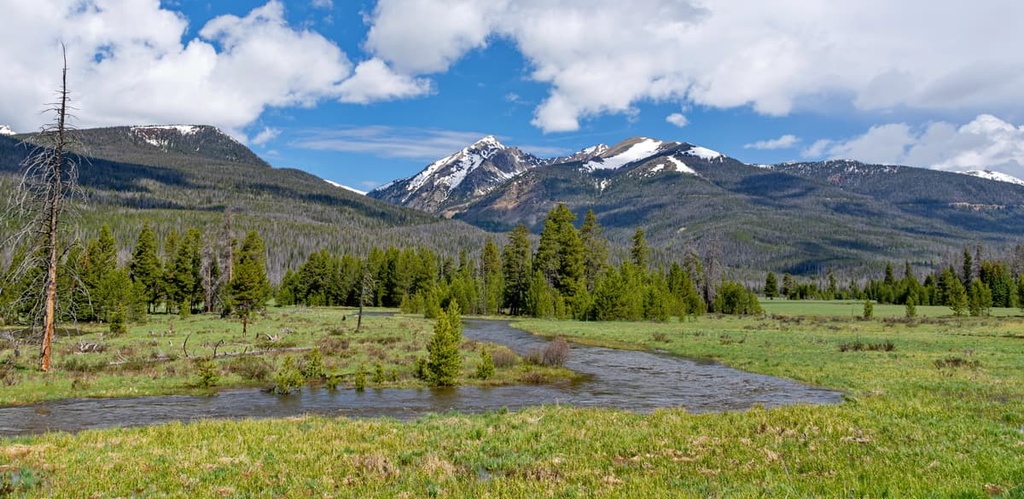
The eastern portion of the forest is drained by the North Platte River while the western region is drained by the Yampa River. The lower elevations of the national forest are dominated by forested hillsides, sweeping meadows, and valleys along with numerous creeks and streams.
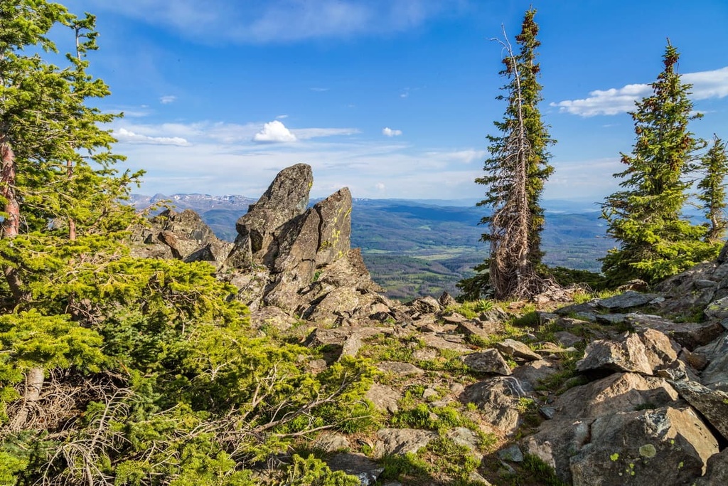
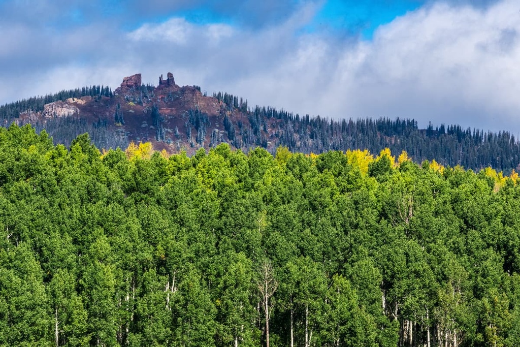
Rugged peaks and ridgelines mark the highest elevations in the national forest, and many of the region’s peaks experience snowfall during the summer months. These jagged peaks are often home to wide, sweeping glacial cirques.
Hundreds of lakes can be found throughout the Routt National Forest, often at higher elevations. The Buffalo Pass and Mad Creek regions of the forest receive more snowfall than any other region in the state.
There are seven wilderness areas located either entirely or partially within the Routt National Forest. The Mount Zirkel and Sarvis Creek Wilderness lie entirely within the forest while parts of the Flat Tops, Neota, Never Summer, Platte River, and Rawah Wilderness areas are situated in the forest.
Many of the tallest peaks in the national forest can be found within the Mount Zirkel Wilderness. This wilderness is also home to the headwaters for the Encampment, Elk, and North Platte rivers.
The Routt Divide Blowdown is also located in the Mount Zirkel Wilderness and it spans an area of some 150 sq. mi (388 sq. km). This blowdown contains a huge area of downed trees that resulted from a fierce wind storm in 1997 followed by beetle infestations and numerous wildfires. Despite the desolate-looking landscape, this portion of the Routt National Forest is still able to support a thriving ecosystem.
Additionally, Routt National Forest is surrounded by other outdoor recreation destinations. The Medicine Bow National Forest lies to the north of the national forest while Rocky Mountain National Park, State Forest State Park and Roosevelt National Forest lie to the east, the Arapaho National Forest is to the southeast, and the White River National Forest is situated to the southwest.
The subranages found within Routt National Forest are part of the Southern Rocky Mountains, which span from southern Wyoming to central New Mexico. The Southern Rockies are a subrange of the larger Rocky Mountains. Two Southern Rockies subranges, the Park Range and the Never Summer Mountains, dominate much of the landscape within the forest.
The Southern Rocky Mountains date back around 300 million years. During this time, massive amounts of thrusting and folding created an ancient range throughout present-day Colorado.
Over the course of millions of years, the range was heavily eroded, leaving behind the framework for the Southern Rocky Mountains. The Laramide orogeny was a major mountain building period that took place between 80-55 million years ago, and it was responsible for forming much of the peaks that are visible today.
The Never Summer Mountains that are found within the forest are some of the youngest peaks in the Southern Rocky Mountains, dating back only 30–24 million years. As they were formed by volcanic eruptions, this subrange consists primarily of igneous rocks.
Other peaks found throughout the Routt National Forest contain outcroppings of Precambrian rock, though these layers are most often found in the core of the peaks. The outer layers of rock date back to the Cenozoic, around 30 million years ago. Volcanic activity beneath the Earth’s crust thrust the range further upwards to its current height.
Much of the forest was heavily glaciated during the last glacial maximum. Glacial retreat further carved out the landscape, forming many of the glacial cirques that we see in the region to this day.
Major peaks within the Routt National Forest include Mount Richthofen, Mount Zirkel, Parkview Mountain, Black Mountain, and Sand Mountain.
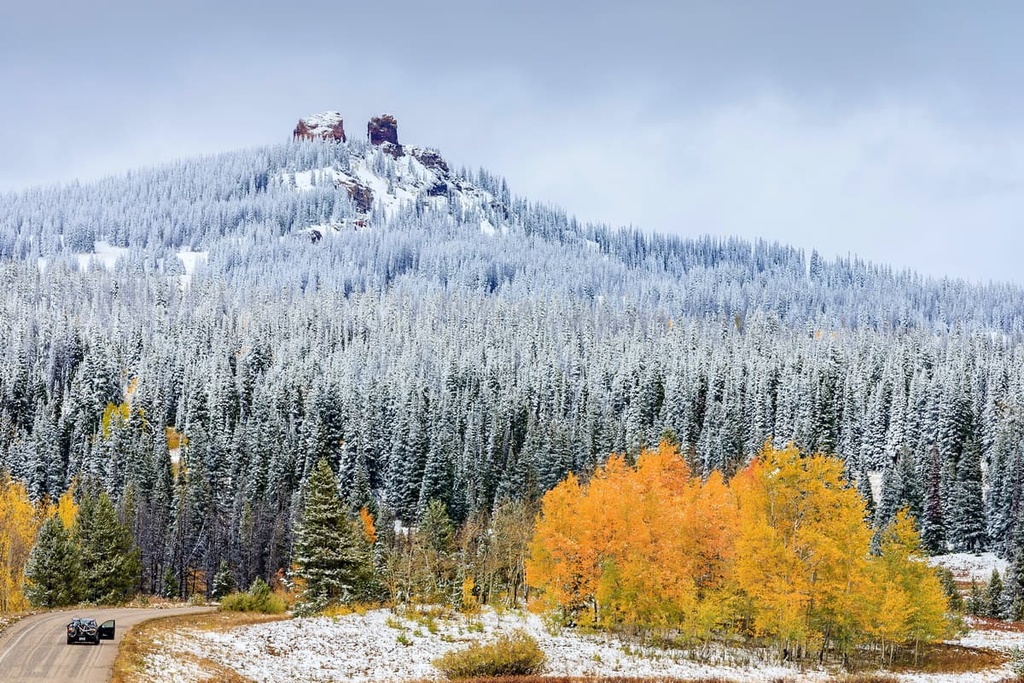
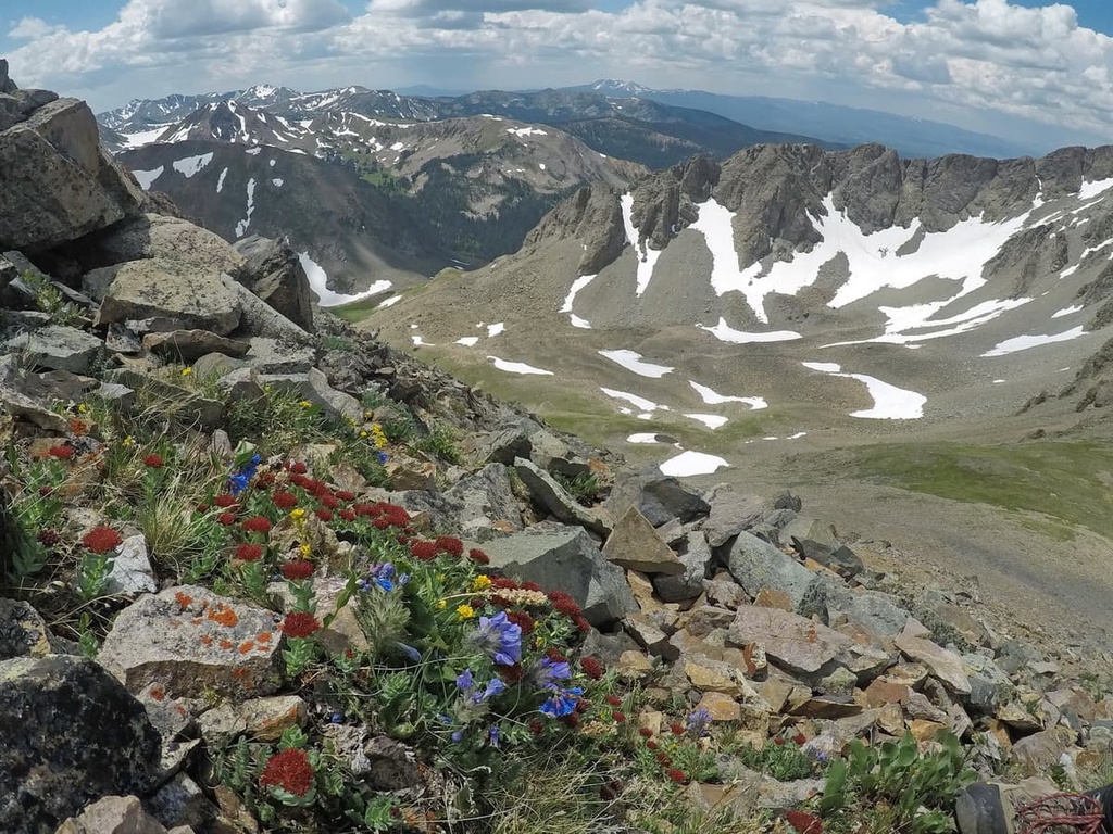
A diverse array of ecosystems can thrive in the region due to the drastic changes in elevations found throughout the Routt National Forest. The climate in the national forest is semi-arid at lower elevations and less arid in the high country, which receives frost and snowfall throughout the year.
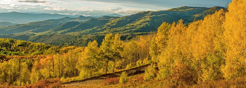
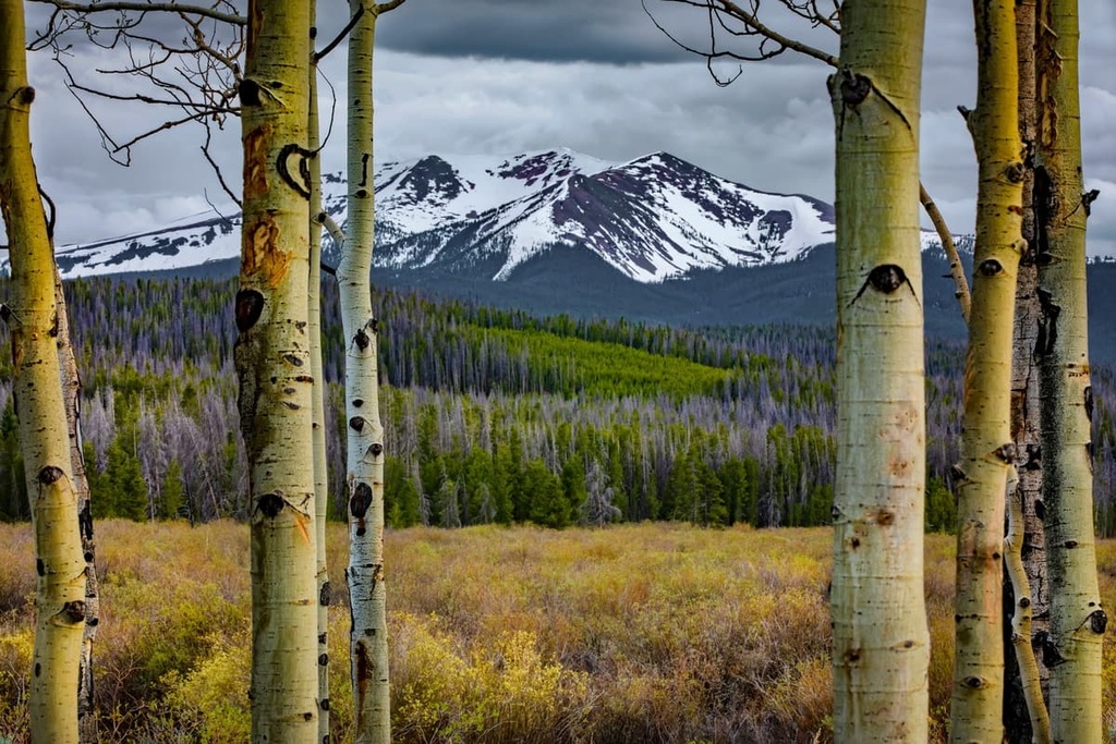
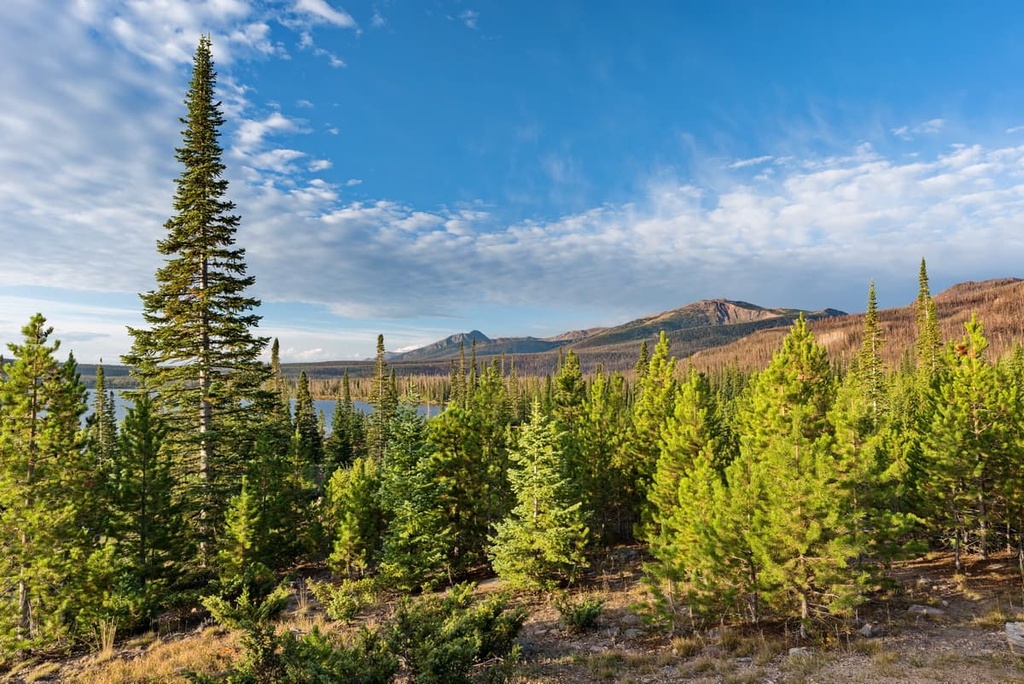
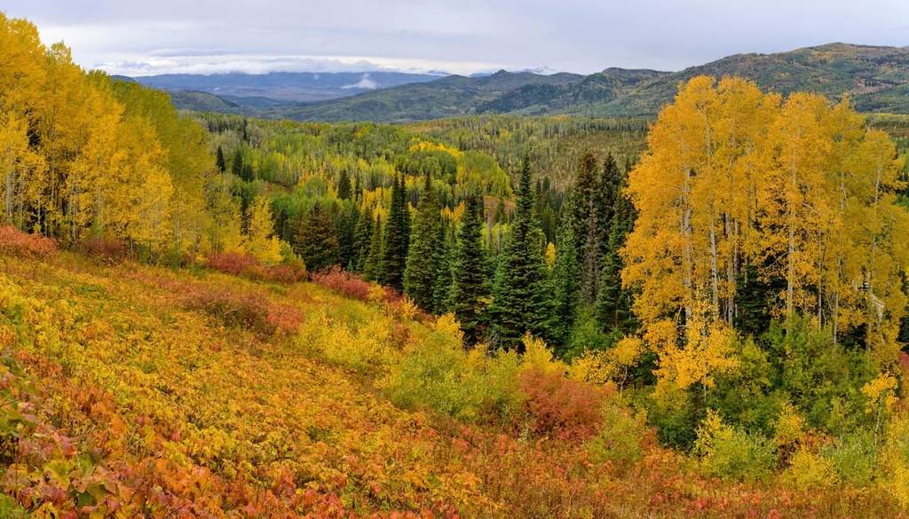
The forested regions are populated by sections of pine, fir, and spruce trees. A majority of the flora is found at lower elevations, with higher elevations featuring green and orange lichens on the rugged peaks.
The forested landscape in the national forest transitions into montane forest, alpine tundra, and alpine meadows, all of which feature relatively minimal flora. Some low growing grasses, sagebrush, and wildflowers can be spotted during the summer months in the upper elevations of the national forest, but cold temperatures hinder them from growing larger.
A ribbon forest is found in the Mount Zirkel Wilderness portion of the national forest. This landscape is marked by long thin bands of forest, which give it a ribbon appearance from above. The ribbon sections are surrounded by vast sweeping meadows.
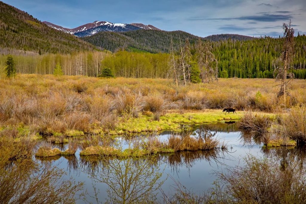
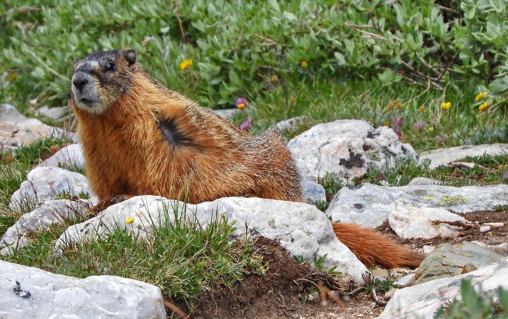
The fauna that inhabits Routt National Forest is similar to that which is found throughout northwestern Colorado. Populations of mule deer, elk, moose, black bear, and marmots live in the region throughout the year. Other large animals in the region include mountain lions and bobcats.
The land in and around Routt National Forest is part of the ancestral homelands of the Ute people, in particular, the White River Ute (Yamparika/Yampa) who are now part of the Ute Indian Tribe of the Uintah and Ouray Reservation. The Ute and their ancestors have lived in the region for thousands of years, long before the arrival of European settlers.
Present-day western Colorado encompasses part of the traditional seasonal migration path of many tribal nations in the region. The region has historically been, and continues to be, used as hunting grounds for countless generations.
Numerous walking and hunting paths throughout western Colorado were established by the Ute people. The first settlers of European descent arrived in the region during the nineteenth century. Many of these early settlers were fur trappers and miners in search of gold.
A settler known as James Harvey Crawford arrived in 1874 and would later go on to establish the town of Steamboat Springs. The arrival of these settlers was met with resistance from tribal nations who were being pushed further off their territory. By 1879, the US Army began backing the settlers as they forcibly removed the Ute people from their ancestral homelands.
A railroad reached Steamboat Springs in 1909, leading to a rise in the economy and an influx of new settlers. Ranching and mining soon became the cornerstone of the local economy.
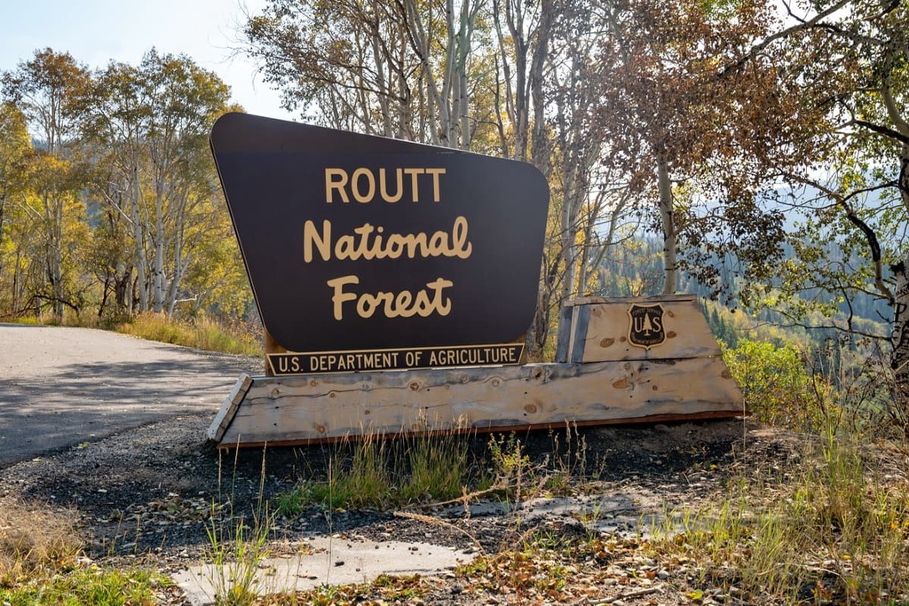
The Park Range Forest Reserve was established in 1905 and would later be named Routt National Forest in 1908 in honor of the state’s first governor John Long Routt. The Routt National Forest, Medicine Bow National Forest and Thunder Basin National Grassland were administratively combined in 1995.
The Routt National Forest is home to a plethora of hiking trails. Here are some of the most popular hiking areas in the range:
Mad Creek Trail showcases some of the history of the region, beginning in Steamboat Springs. This out-and-back trail is 9 miles (14.5 km) in length with 1,354 ft (413 m) of elevation gain. The route climbs steeply at first before leveling out as you near the end.
Amidst the groves of aspen trees, hikers have views of deep canyon, a rushing creek, and old mining cabins. Many hikers use the route for backpacking, often setting up camp 2 miles (3.2 km) into the route.
The Rabbit Ears Peak Trail is one of the most popular routes in the forest. This out and back trail is 5.5 miles (8.9 km) long round-trip with 974 ft (297 m) of elevation gain. The route begins by Dumont Lake before climbing up to Rabbit Ears Peak.
The trail climbs through the forested hillsides before opening up to alpine meadows. During the summer months, hikers can see fields of wildflowers along with the barren summits of the region. From the summit, hikers have panoramic views of the forest and surrounding peaks.
Fiddlehead Trail is a more moderate hike in the forest located near Steamboat Springs. The loop trail is 2.1 miles (3.4 km) in length with 206 ft (63 m) of elevation gain.
The gentle trail passes throughout forested areas before opening up to more barren peaks, providing views of the surrounding landscape. The route can be used for snowshoeing during the colder months of the year.
The Mount Richthofen Summit Trail takes hikers to the top of the highest peak within the national forest, Mount Richthofen. This out-and-back trail is 4.1 miles (6.6 km) long and it has 2,637 ft (804 m) of elevation gain. The trail climbs steadily through the forest before reaching Lake Agnes at the base of the peak.
After passing the lake, the route begins to climb more steeply up to the summit of the peak. From the top, hikers have unobstructed views of the Never Summer Wilderness, Routt National Forest, and the nearby Rocky Mountain National Park.
Looking for a place to stay near the Routt National Forest? Here are some of the best cities and villages to check out in the region:
Steamboat Springs lies near the heart of the Routt National Forest along the Yampa River. Home to around 13,000 residents, the city is known for its world-renowned skiing. Surrounded by the Rocky Mountains, the Steamboat Ski Resort lies directly to the east of the city.
Though small in size, the impeccable skiing in the region has resulted in Steamboat Spring producing more winter Olympians than any other city in North America. During the warmer months, the city is known for its hiking, trail running, mountain biking, rafting and fishing opportunities.
The hundreds of miles of trails found throughout the forests surrounding the city allow for endless opportunities for outdoor recreation. The natural hot springs and local restaurants in Steamboat also provide an ideal way to relax after a long day of adventuring.
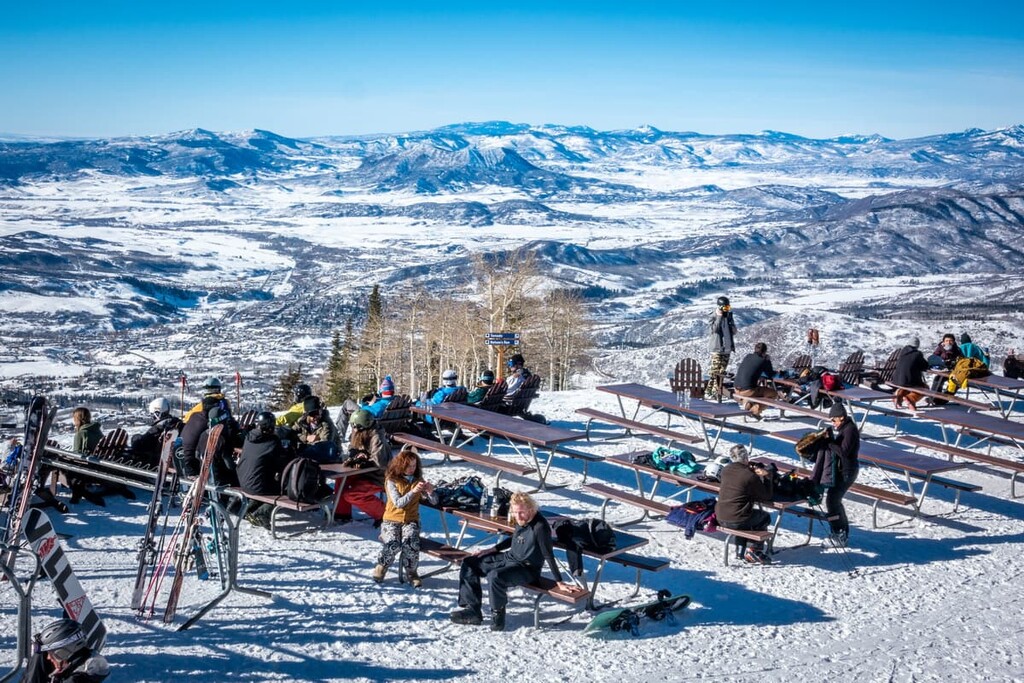
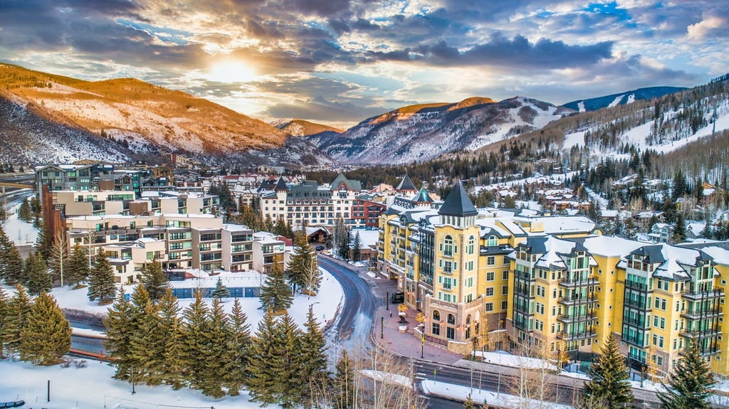
Vail is a town that’s located near the southern edge of Routt National Forest. Though the town is home to around just 5,000 residents, it boasts the largest ski mountain in the entire state, Vail. The resort town attracts skiers and snowboarders from around the world each year who come to enjoy the impeccable terrain, shops, and restaurants.
Each year, the town also hosts numerous events such as the Burton US Open, Vail Resorts Snow Days, and the Vail Film Festival. Winter months also allow for snowmobiling and snowshoeing.
As the snow begins to melt, the town comes alive as a hub for hiking, trail running, mountain biking, and horseback riding. Besides its stunning natural landscape, Vail is also known for its local and fine dining restaurants. Each year, the city also hosts events like the Taste of Vail, Vail Summer Bluegrass Series, and the Vail International Dance Festival.