Scan the QR code and open PeakVisor on your phone
Featuring rolling hills and vast swaths of conifer forests, the Little Belt Mountains are a range of peaks in the central part of the US state of Montana. The range contains 89 named peaks, the highest and most prominent of which is Big Baldy Mountain (9,190ft/2,801m).
The Little Belt Mountains are located nearly in the middle of the state of Montana within Judith Basin, Wheatland, Meagher, and Cascade counties, to the northeast of the city of Helena and to the southeast of the city of Great Falls. They form one of the easternmost ranges that is wholly contained within Montana with the notable exception of the Big Snowy Mountains to the east.
As a part of the Lewis and Clark National Forest, the Little Belt Mountains are a part of a large portion of central and western Montana that is managed as publicly-owned land. The Lewis and Clark National Forest includes not only the Little Belt Mountains, but also the northern part of the Crazy Mountains to the south as well as a section of the Lewis Range, within the Scapegoat Wilderness and the Bob Marshall Wilderness Complex to the northeast.
The Little Belt Mountains are bordered to the east by the Big Belt Mountains. Interestingly, while the Big Belt Mountains do run in a southeast to northwest line in a long, belt-like line, the much less prominent Little Belt Mountains are more of a grouping of peaks rather than a chain. In fact, the Little Belt Mountains is among the largest of Montana’s isolated ranges, with a 60 mile (96.6km) by 30 mile (48.3km) area that’s completely separated from any nearby ranges.
Moreover, the Big Belt Mountains serve as a physical barrier that separates the Little Belt Mountains from other parts of Montana’s mountainous southwestern section, such as the Elkhorn and Boulder Mountains within Helena National Forest.
The Little Belt Mountains are a part of the Central Montana Rocky Mountains. This is a subgroup of ranges within the greater Rocky Mountains, which stretches from New Mexico into British Columbia in Canada.
Most of the ranges within the region formed, at least in part, during the Laramide Orogeny between 80-55 million years ago, predominantly during the Late Cretaceous. During this time, the Kula and Farallon Plates subducted under the larger North American Plate and led to a mountain building event that created ranges throughout Canada, the United States, and Mexico.
In particular, the Little Belt Mountains formed as what’s known as an “anticline” or an arch-like fold in rock where the oldest rock layers are found toward the core of the fold.
Moreover, the region experienced a significant number of forceful igneous intrusions of viscous and felsic (high concentrations of light-colored minerals such as feldspar and quartz) magmas during this time. This makes the Little Belt Mountains geologically distinct from the small grouping of peaks around Highwood Baldy to the north, which have large amounts of low-viscosity and alkaline extrusive rocks, instead.
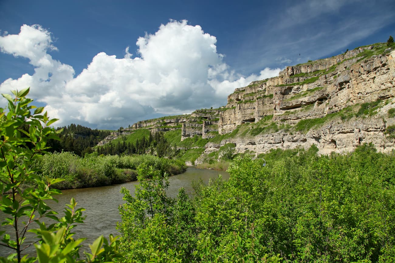
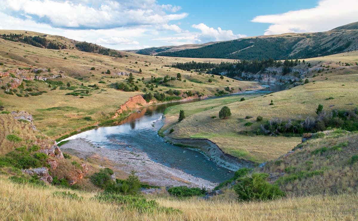
For the most part, the bedrock in the region is limestone , with pockets of various metamorphic and igneous rocks. The range contains a substantial number of cliffs and bluffs, thanks to the erosion powers of the region’s many streams.
The Little Belt Mountains are also of particular interest to geologists because of their long history of mining. Beginning in the 1880s, the Little Belt Mountains were mined for silver. However, by the 1896s, the range was mined for a unique type of sapphire, known as Yogo sapphire.
These precious gems are found mostly in Yogo Gulch within the Little Belt Mountains and are known for their cornflower blue color. Interestingly, these sapphires were not thought of as valuable when they were first discovered because they were found as miners were searching for gold in Yogo Creek.
Originally dismissed as “blue pebbles,” Yogo sapphire mining began in earnest during the late 1800s though the mines in the region have exchanged hands many times over the years. While mining of the sapphires was profitable for a while, it was never extensive and it’s believed that there are still many tons of the gem left in Yogo Gulch.
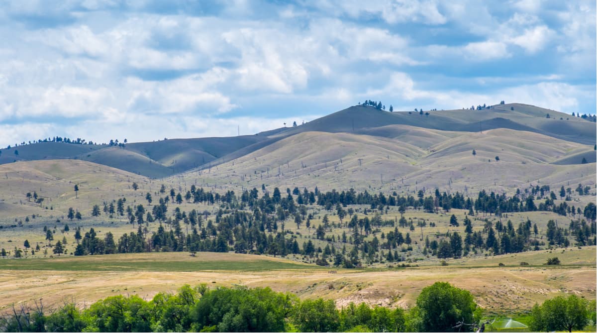
Despite their isolation from nearby ranges, the Little Belt Mountains are surprisingly ecologically diverse. At lower elevations, the range is dominated by sagebrush steppe, grasslands, and open woodlands.
Moving higher in elevation, however, the Little Belts are covered in dense coniferous forests. The predominant tree types in the region are lodgepole pine, whitebark pine, Douglas fir, and ponderosa pine.
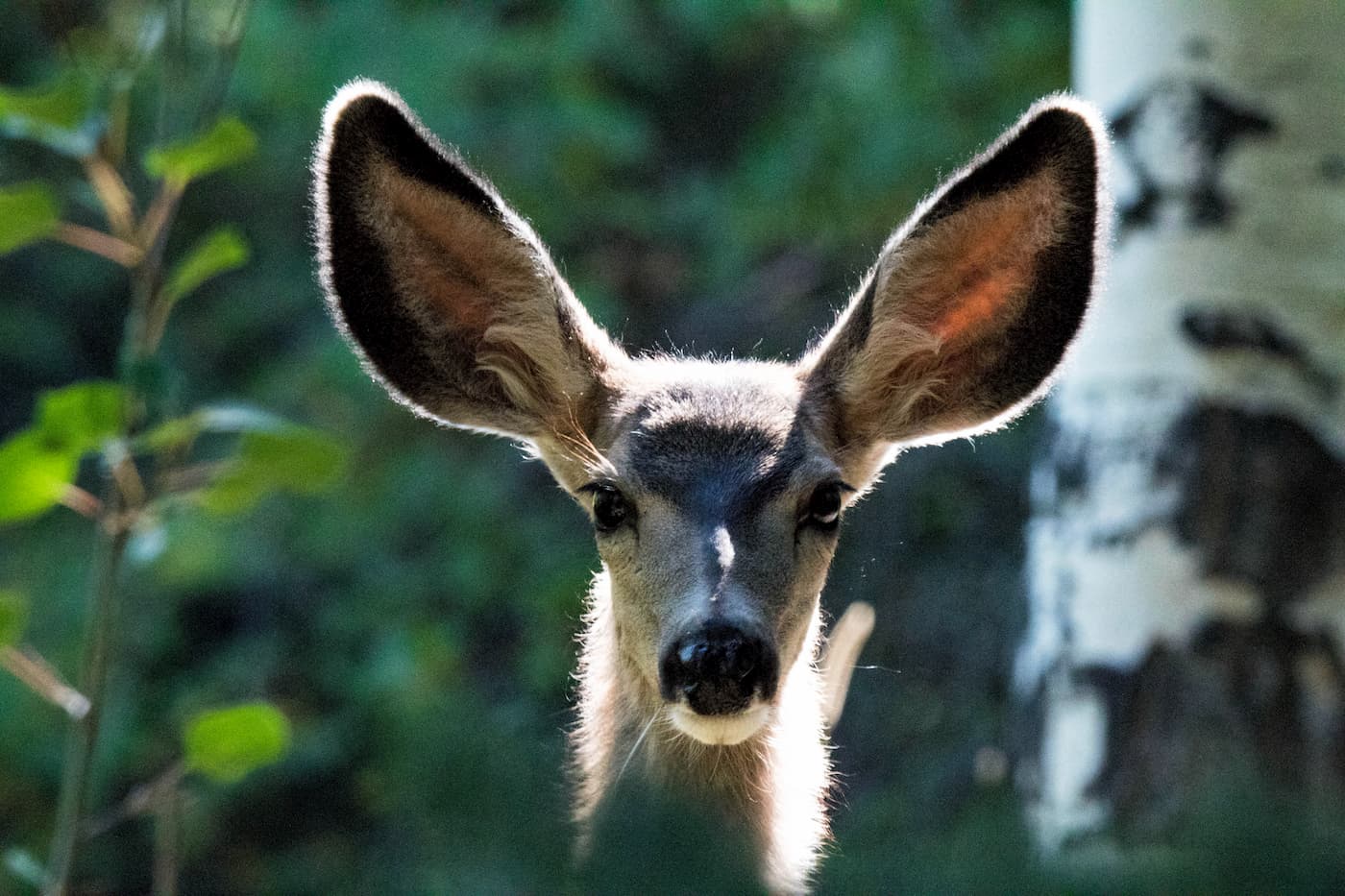
Wildlife in the range includes mule deer, white-tailed deer, elk, and black bears. Additionally, the range’s many streams, particularly within the Middle Fork Judith River Wilderness Study Area, contain stocks of rainbow trout and Yellowstone cutthroat trout.
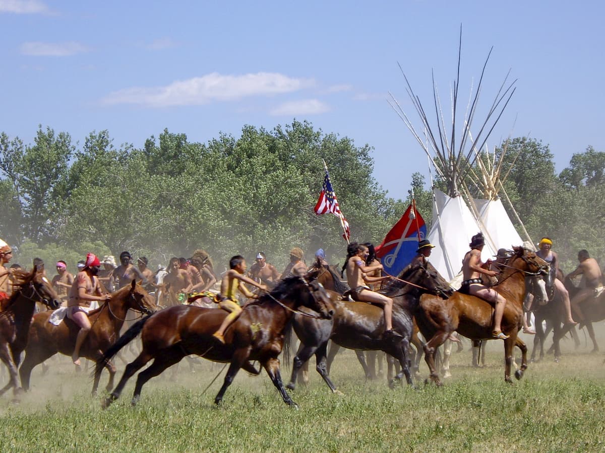
The Little Belt Mountains and the surrounding area have long been home to humans. A number of groups, including the Blackfeet Nation, the Confederated Salish and Kootenai Tribes, the Crow, and the Shoshone, among countless others, lived throughout Montana long before the arrival of European and European-American settlers.
Some of the most famous early European and European-American visitors to the area include the Lewis and Clark expedition, which passed through the region in 1805. Over half a century later, central Montana rose to somewhat of a prominence in the national consciousness as a result of the Montana Gold Rush, which brought droves of miners to the region in the hopes of making it rich.
Although much of the gold and silver mining efforts were focused elsewhere within the borders of the modern-day Lewis and Clark National Forest and the Helena National Forest, Yogo sapphire did bring some recognition to the Little Belt Mountains.
The Little Belt Mountains first came under the purview of federal land managers with the creation of the Jefferson National Forest in 1908. However, the forest was later merged with the Lewis and Clark National Forest in 1932, where it is managed to this day.
Currently, the Little Belt Mountains are a part of the Lewis and Clark National Forest which is jointly administered with Helena National Forest.
Here are some good hiking areas to check out in the Little Belt Mountains:
The Strawberry Ridge Trail is 6.1 miles (9.8km) long and offers nice views of the surrounding area as well as access to the Smith River within the little Belt Mountains. While the trail itself isn’t very long, it offers good connections to other parts of the trail network, which makes for a good backpacking trip.
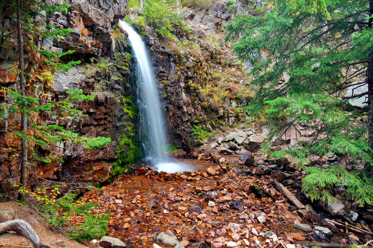
The Memorial Falls Trail is 0.5 miles (0.8km) long and offers a nice, short walk along a creek to see two scenic waterfalls. It is a popular day hike from early summer to mid autumn and is wheelchair accessible in some areas.
Looking for a place to stay in the Little Belt Mountains? Here are some good places to check out:
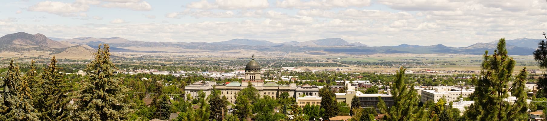
Helena is the capital of the state of Montana and its sixth largest city with some 28,000 people. The city is just to the west of the Little Belt Mountains. It is located along I-15, which offers good road connections around the state, and has a small regional airport with flights to major cities in the western US.
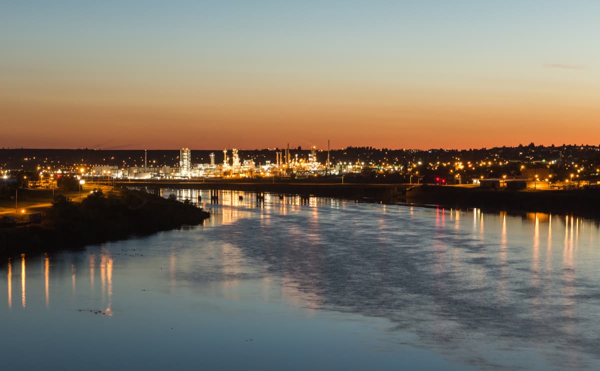
Located to the northwest of the Little Belt Mountains, Great Falls is the third largest city in Montana with approximately 58,000 residents. It is located along the upper Missouri River and is named for the series of waterfalls in the region. Great Falls has an international airport and is located at the junction of I-15 and US Highway 87, both of which offer good connections to the surrounding area.