Get PeakVisor App
Sign In
Search by GPS coordinates
- Latitude
- ° ' ''
- Longitude
- ° ' ''
- Units of Length

Yes
Cancel
❤ Wishlist ×
Choose
Delete
The Crazy Mountains, or the Crazies, as they’re often called, are a mountain range in the south-central part of the US state of Montana. Home to 29 named peaks, the highest and most prominent of which is Crazy Peak (11,178ft/3,407m), the Crazies are an isolated range within the greater Central Montana Rocky Mountains.
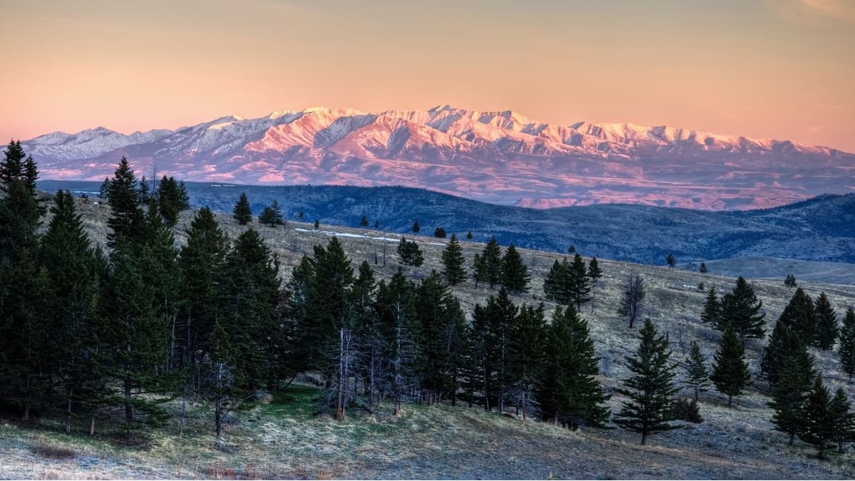
The Crazy Mountains cover a distance of about 40 miles (64km) between the Musselshell River and the Yellowstone River in the region north of Interstate 90 and east of the Continental Divide. The mountains are well known for their jagged summits and steep, rocky faces, which can be seen from the highway. Many of the peaks in the Crazy Mountains are between 10,000 and 11,000 feet (3,048-3,352m), placing the range among the tallest in the state.
There are many stories of how the Crazy Mountains got their English name, though it’s believed that the peaks were named after a woman who went crazy and ran away to live in the range after her family was killed. The name is derived from the mountain’s original Crow name, Awaxaawapìa Pìa, which means “Ominous Mountains.”
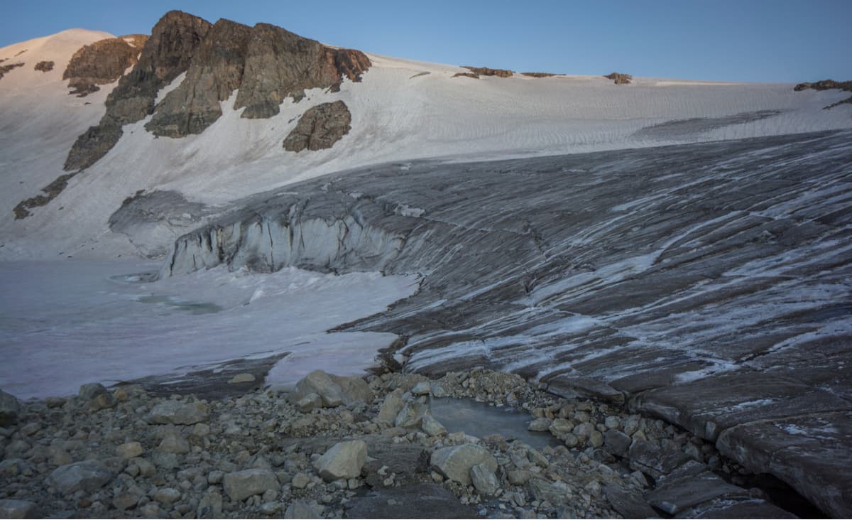
Geologically, the Crazy Mountains are comprised mostly of the Big Timber Stock, an igneous intrusion that forms most of the bedrock in the region. The Big Timber Stock dates back to the Tertiary period and is mostly made of gabbro, diorite, and some quartz, thanks to the area’s many dikes and sills. The range was also shaped by extensive glaciation, which carved out many of the pristine alpine lakes that we see today. These days, there is just one glacier left, the Grasshopper Glacier, near Cottonwood and Rock lakes.
The Crazies are separated from the Absarokas to the south and the Big Belt Mountains to the west by the Yellowstone and Shield rivers. The Crazy Mountains are what’s known as an “island range,” which means that they are isolated from other nearby mountains. Island ranges get their name because they tend to rise out of the plains below, like an island of higher-elevation ground. In fact, there are quite a few island ranges in Montana, including the nearby Little Belt Mountains and Big Snowy Mountains.
The Crazy Mountains are considered a sacred place by the people of the Crow Nation (Apsaalooke), whose ancestors have inhabited the area since time immemorial. These days, much of the Crazy Mountains are managed as part of the Custer Gallatin National Forest, though much of the range is fairly difficult to access as it is surrounded almost entirely by private landholdings.
Indeed, some of the land within the range is privately owned, so anyone venturing into the Crazies may need to seek permission from landowners to travel off of designated trails. However, there is still plenty of adventure to be had within the high peaks and alpine lakes of the Crazy Mountains, with stunning views of the plains below.
Looking for a place to hike in the Crazy Mountains? Here are some fan-favorite options:
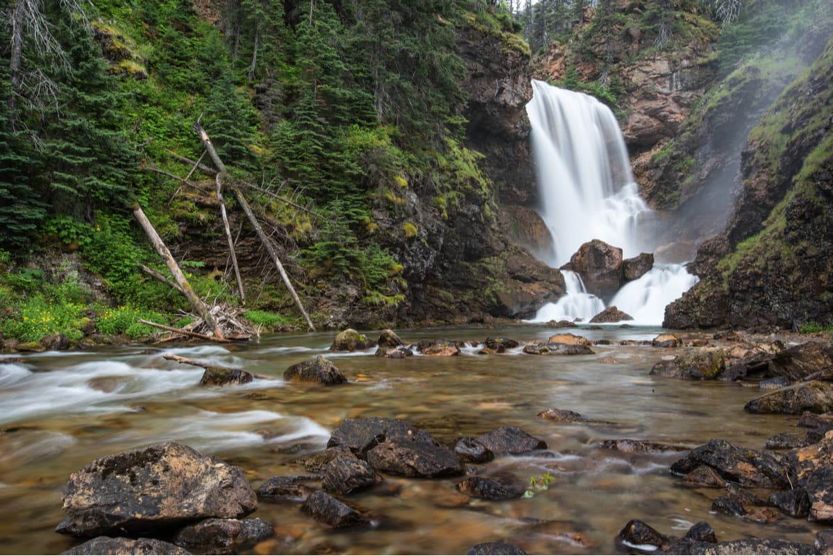
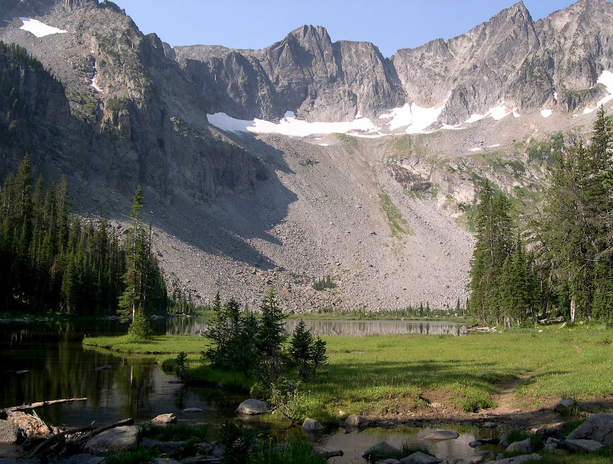
As one of the most popular hiking areas in the Crazies, Twin Lakes is a must-do for any visitors to the region. You start your hike to Twin Lakes at the end of Big Timber Creek Road, near Halfmoon Campground. Here, you start climbing steadily up toward Twin Lakes along an old roadbed until you arrive at your destination. You can also choose to take an unmarked side trail just 0.25 miles (0.4km) from the trailhead to take a look at the beautiful Big Timber Creek Falls.
Crazy Peak is the tallest peak in the range, so it’s a great option for a day trip if you’re looking for a bit of adventure. The route up to Crazy Peak starts at the Big Timber Creek Trailhead and is a bit of a scramble up one of the mountain’s many ridges to get to the summit. While it’s more of a climb than a hike, this is a fantastic outing for anyone up to the task.
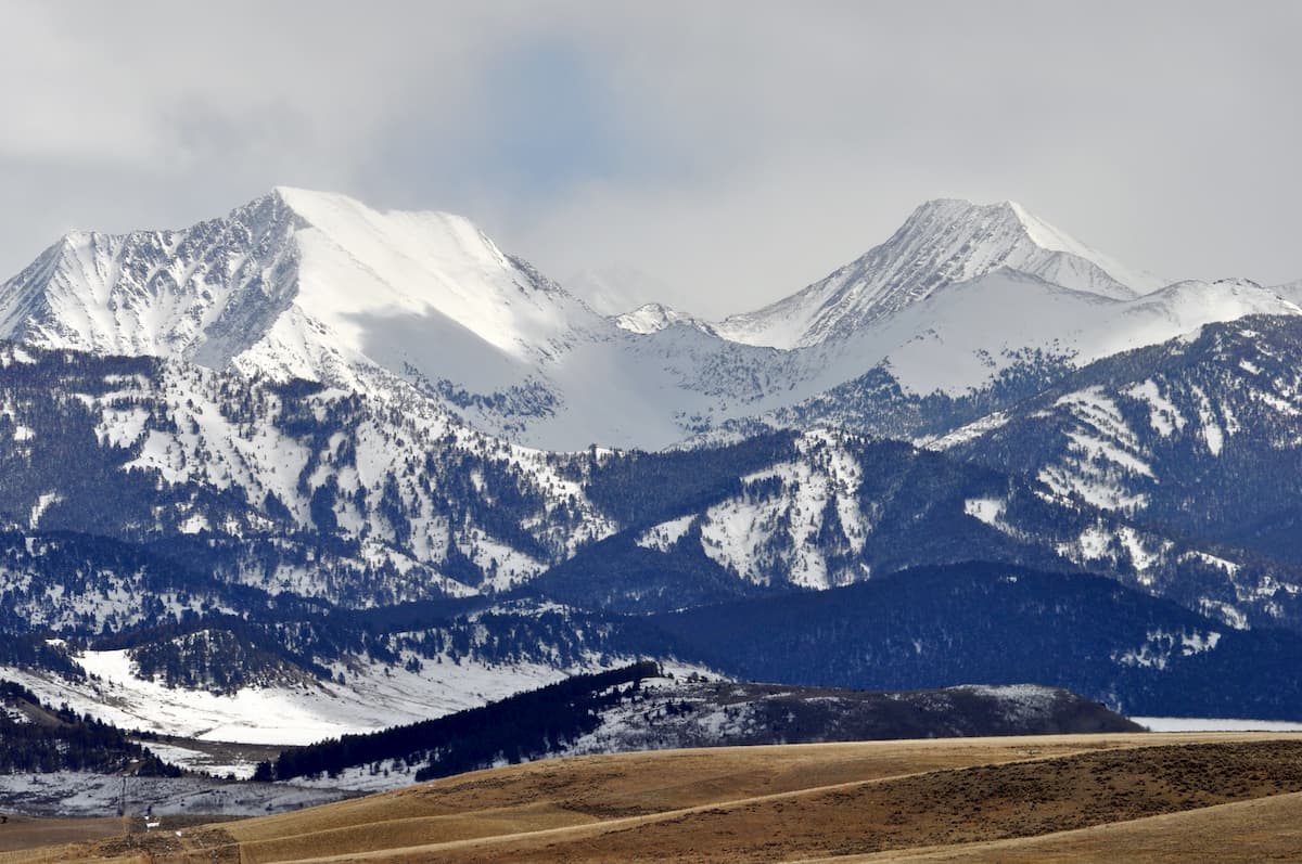
This beautiful trail starts off at a junction with the Sweet Grass Trail and takes you up toward Campfire Lake. As one of the dozens of alpine lakes in the Crazies, Campfire Lake is the perfect place to enjoy some alpine scenery and beautiful views of the surrounding region.
Here are some cities close to the Crazy Mountains where you can start your adventure:
Located to the southwest of the Crazies, Bozeman is a mountain town that’s incredibly popular among outdoor enthusiasts. Bozeman is home to nearly 50,000 people and has great transport links to the rest of the American West through its international airport. The city also provides good access to Yellowstone National Park and northern Wyoming.
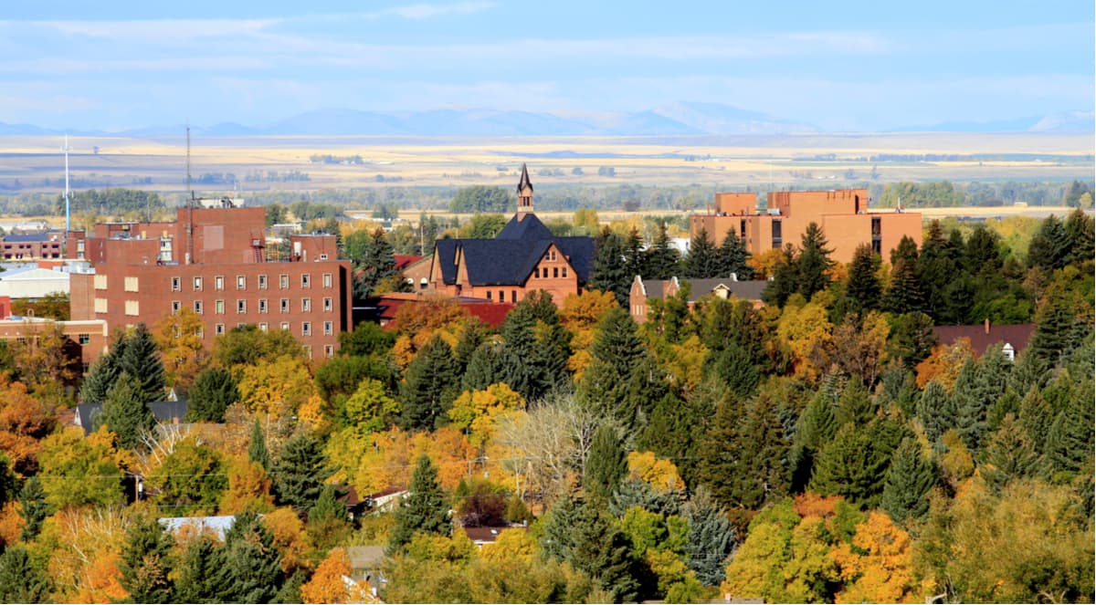
Helena is the capital of Montana and is located just northwest of the Crazy Mountains. Although Helena is located at a fairly low elevation in the plains, its location between a number of ranges, such as the Elkhorn and Boulder Mountains, makes it an ideal location for a home base during a trip to western Montana.

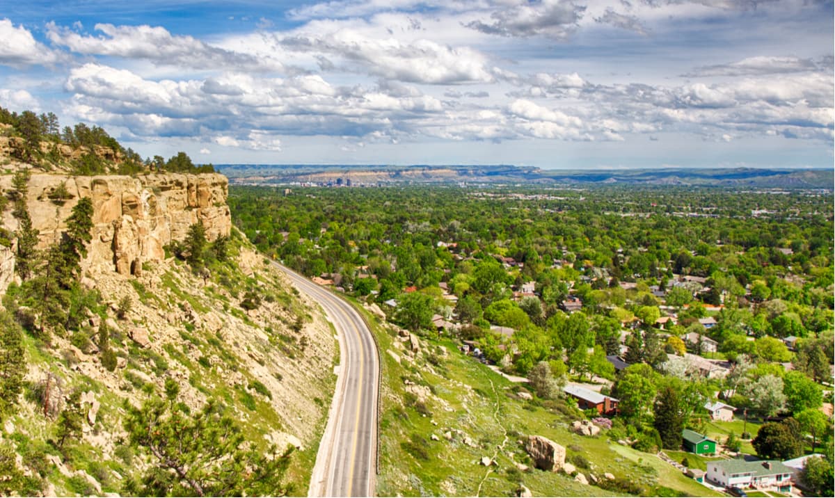
Billings is the most populated city in Montana and is located to the east of the Crazy Mountains in the south-central part of the state. The city is located along I-90, which makes it a convenient place to stop if you’re driving in to Montana from the west. Billings also provides good access to Yellowstone National Park and the Bighorn National Forest in northern Wyoming.
Explore Crazy Mountains with the PeakVisor 3D Map and identify its summits.


