
Scan the QR code and open PeakVisor on your phone
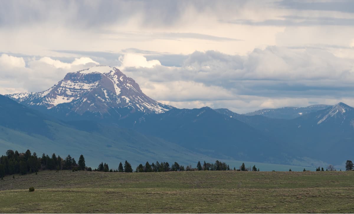
The Tobacco Root Mountains include 44 named peaks. The highest is Hollowtop Mountain at 3,233 m. Other notable peaks include Granite Peak, Mount Jefferson and Lakeshore Mountain.
One of the most scenic mountain ranges in all of the US state of Montana, the Tobacco Root Mountains are home to 42 named peaks, the highest and most prominent of which is Hollowtop Mountain (10.607ft/3,233m). As a subsection of the greater Central Montana Rocky Mountains, the Tobacco Roots stretch from the Bozeman to Butte and have an extensive history of mining, dating back to the 1800s.

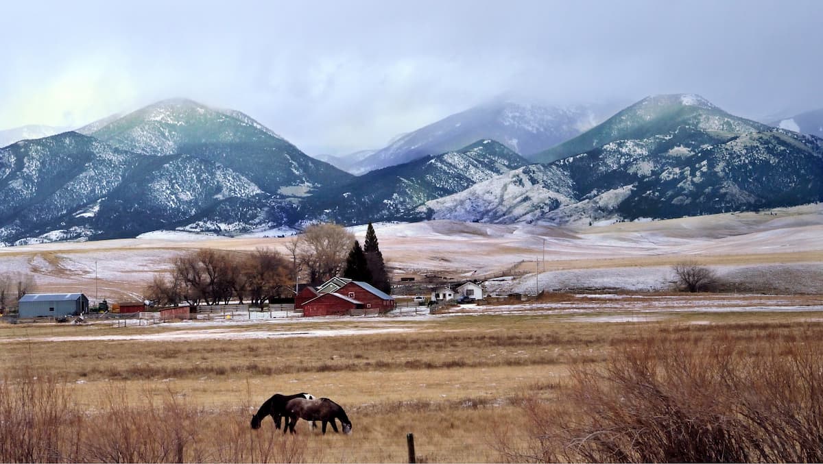
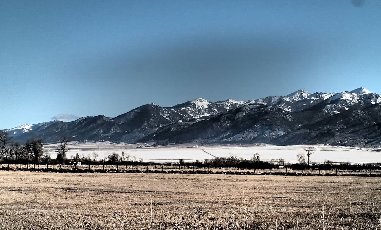
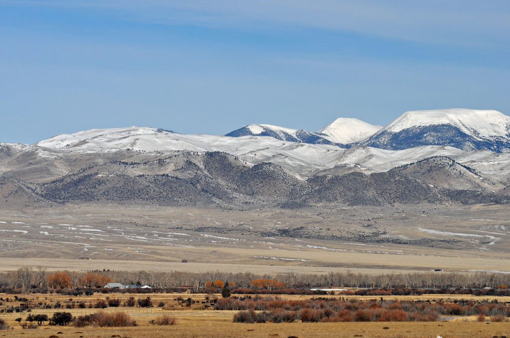
Located in southwestern Montana, the Tobacco Root Mountains are bordered by the Elkhorn and Boulder Mountains to the north, the Gravelly Range to the south, and the Madison Range to the east. While they are located in some of the most mountainous terrain in Montana, the Tobacco Root Mountains are somewhat isolated from nearby peaks, thanks to a network of state and local highways that circumnavigate the range. The range stretches about 26 miles (41.8km), from north to south, and contains a significant number of peaks over 10,000 feet (3,048m) in elevation.
Geologically, the range is comprised mostly of rocks from the Tobacco Root Batholith, which is believed to be related to the nearby Boulder Batholith. Both batholiths are large masses of volcanic rock, made up mostly of gneisses and schists. However, the Tobacco Roots are also well known for their significant gold deposits, which brought miners and prospectors to the range in droves during the Montana Gold Rush.
Although Lewis and Clark and other settlers are credited with “discovering” the Tobacco Roots during their travels in the early 1800s, native people, including the Crow and Flathead Nations, among countless others, have lived in the region around the range for thousands of years. It’s believed that the Tobacco Roots were given their English name because of a type of root that was commonly found in the mountains. The native people of the range and early settlers often dried the root and smoked it as a substitute for tobacco, hence the name “Tobacco Root.”
The majority of the Tobacco Root Mountains are located within the Beaverhead-Deerlodge National Forest, which manages the area partially for foot-based travel and partially for motorized use. There are quite a few trails that bring hikers into the alpine of the Tobacco Roots, though there are also a number of motorized access roads that bring ATVs and dirt bikes deep into the backcountry of the range, which has caused some controversy in recent years.
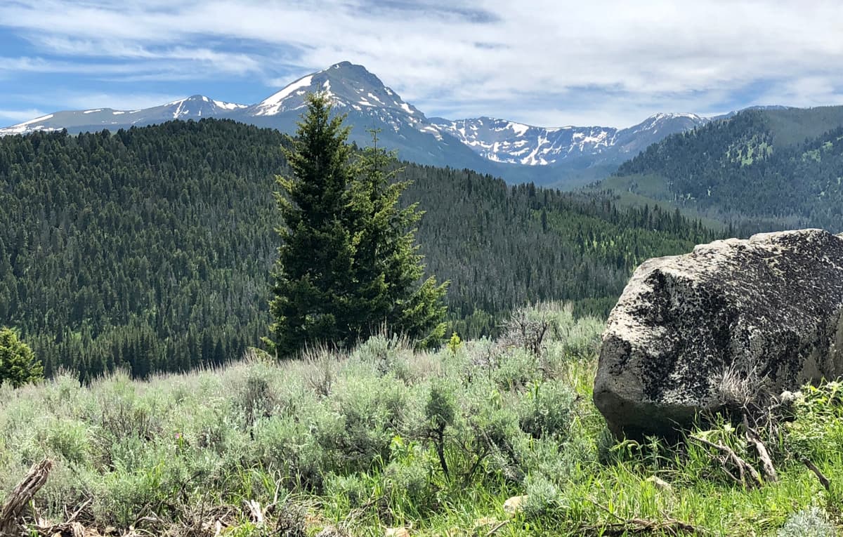
The Tobacco Roots are home to some stunning scenery and an amazing assortment of wildflowers during the spring and summer months, making them an ideal destination for a backcountry adventure. The range also contains a great collection of alpine lakes and jagged summits, so there are plenty of exciting hiking opportunities in the Tobacco Roots for every outdoor enthusiast.
There are dozens of trails within the Tobacco Root Mountains, some of which also allow motorized travel. Here are some of the most popular hiking areas in the range:
This incredibly popular hike is a 7 mile (11.3km) out-and-back trail that takes you on a fairly level path to see the beautiful Louis Lake. Louis Lake is an alpine oasis, high in the mountains, with great connections to other, more remote adventures. Due to heavy snowfall in the region, this hike is best as a late-summer adventure, particularly after mid-July when most of the snow has melted.
Located in the eastern portion of the Tobacco Root Mountains, the Hollowtop Lake trail is a 12.5 mile (20.1km) loop hike. Along the way, you’ll get to see a gorgeous alpine lake that’s surrounded by amazingly high peaks and fantastic alpine meadows. Do keep in mind, though, that the first 1.5 miles of the trail are a multi-use trail where ATVs and dirt bikes are allowed. Past that point, though, you can enjoy the wilderness on a short day trip or camping overnight at Hollow Top Lake.
As the first and third highest peaks in the Tobacco Roots, Hollowtop Mountain and Mount Jefferson are worthy hiking destinations for experienced climbers. The most popular approach to the peaks starts from the North Willow Creek Trailhead near the town of Pony, Montana and starts off on the trail to Hollowtop Lake.
From there, you can continue on toward the southern face of Mount Jefferson, scrambling up very loose scree on your way to the summit. After tagging Jefferson, willing climbers can make their way north to the summit of Hollowtop for fantastic views of the surrounding landscape. This hike requires scrambling and off-trail travel, so it’s best for experienced backcountry travelers that want to get up high in the alpine of the Tobacco Root Mountains.

Here are some of the largest cities near the Tobacco Root Mountains:
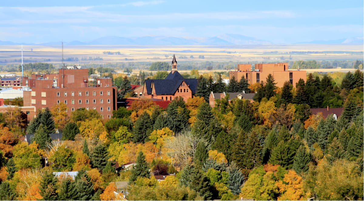
Bozeman is located to the east of the Tobacco Root Mountains and is home to nearly 50,000 people, making it the fourth-largest city in Montana. The city is a well-known hub for outdoor activities and has a busy airport that offers great connections to major cities around the American West.
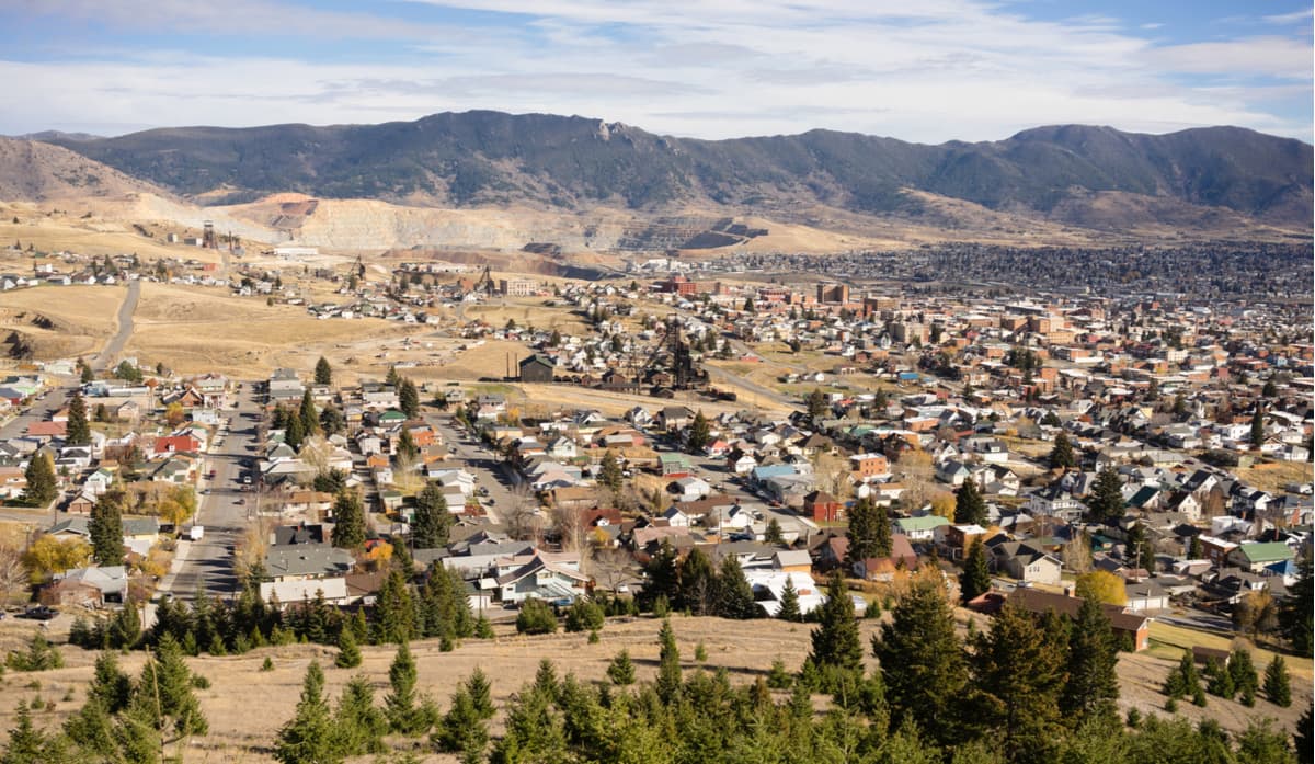
The city of Butte is located to the northwest of the Tobacco Root Mountains and is home to about 33,000 people, making it the fifth-largest city in Montana, after Bozeman. Butte got its start as a mining camp but is now one of Montana’s most industrial cities. Although it doesn’t have great air links to other major cities like Bozeman does, Butte is located at the intersection of I-90 and I-15, so it’s a great place to stop if you’re driving to the Tobacco Roots from the south, north, or west of the range.
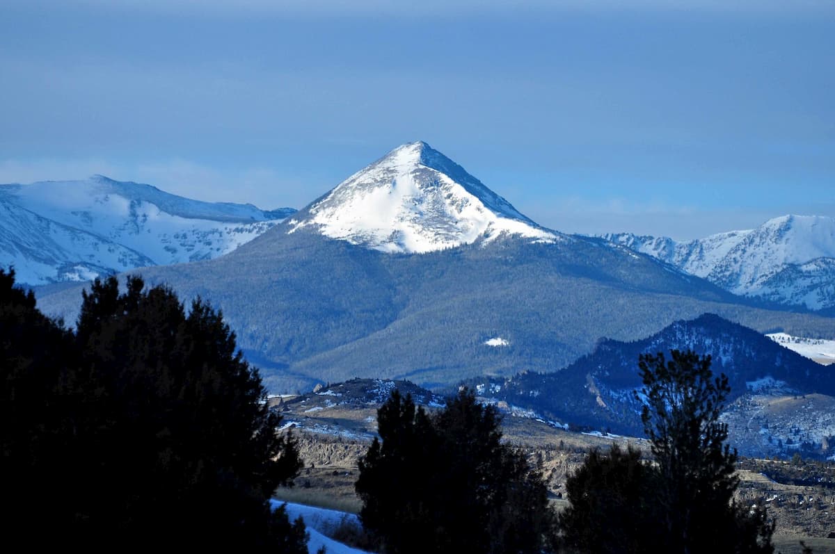


The highest peak in the Tobacco Root Mountains is Hollowtop Mountain, at 3,233 m.
The Tobacco Root Mountains have 44 named peaks.


