
Scan the QR code and open PeakVisor on your phone
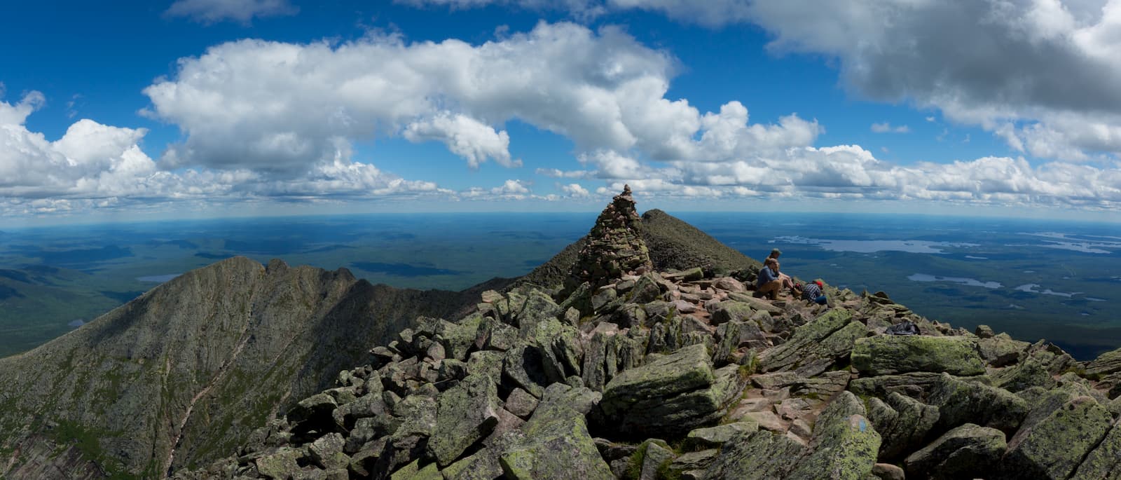
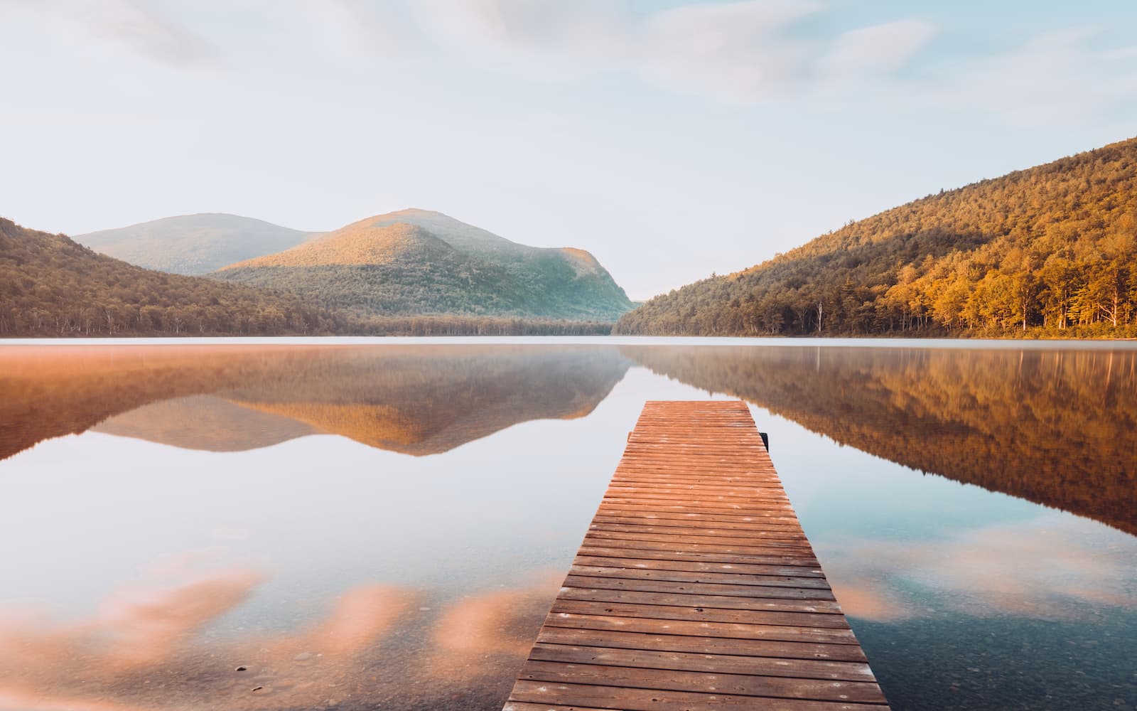
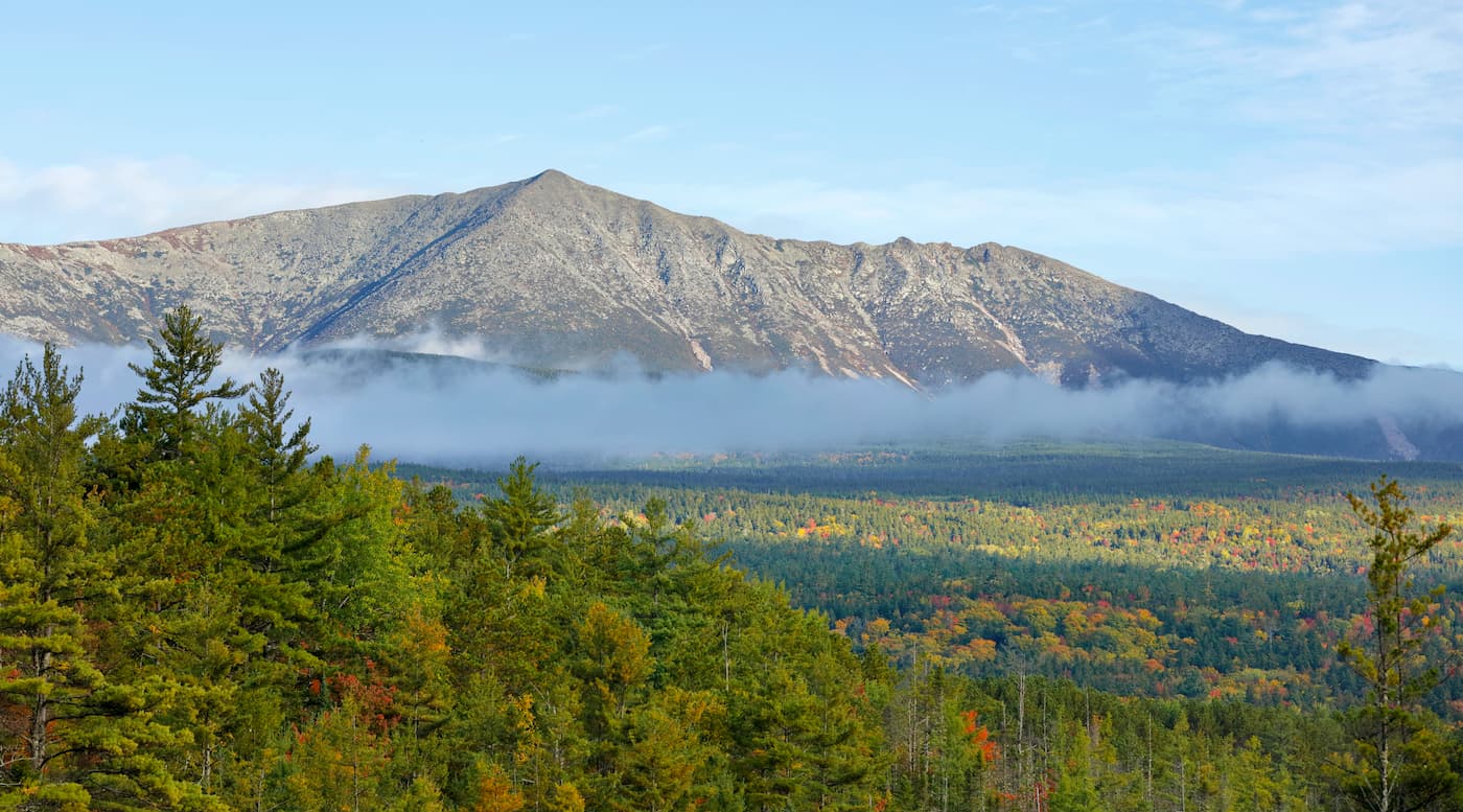
Home to a collection of discontinuous ranges and jagged peaks, the Longfellow Mountains are a system of mountains located in the west-central part of the US state of Maine. The range contains 606 named mountains, the highest and most prominent of which is Baxter Peak (5,262ft/1,604m) on Mount Katahdin.
The Longfellow Mountains cover a large swath of the North Maine Woods region of the state of Maine. This region is known for its rugged beauty and it contains 2 National Wild and Scenic Rivers, the Allagash River and the Saint John River (Fleuve Saint-Jean).
Bounded by the US’ border with the province of Québec in Canada to the northwest, as well as both I-95 and US Highway 2 to the southeast, the Longfellow Mountains include a substantial portion of the state. They run as far southwest as Maine’s border with New Hampshire and as far north as Baxter State Park, about the same latitude as Houlton, Maine.
Within the state of Maine, the Longfellow Mountains cover parts of Oxford,Franklin, Somerset, Piscataquis, and Penobscot counties.
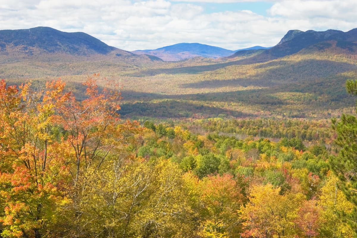
The range is located in a heavily mountainous section of the United States and it is surrounded on all sides by other ranges. These include the New England Upland to the east and south, the Canadian Appalachians to the north, and both the White Mountains and the Mahoosuc Range to the west.
Within the Longfellow Mountains, there are a handful of protected areas, including Baxter State Park, the Bigelow Preserve, Mount Blue State Park, and the Mount Abraham Ecological Reserve.
Geologically, the Longfellow Mountains are part of the Appalachian Mountains, which is a system of peaks and ranges that stretches from the US state of Alabama all the way to the province of Newfoundland and Labrador in Canada.
However, the name “Longfellow Mountains” doesn’t refer to a single mountain range. Rather, “Longfellow Mountains” was a name given to the peaks in the North Maine Woods by the Maine State Legislature in 1959 as a way to better identify the mountains in this area on maps.
Therefore, the geology of the region is complex and varied. That being said, like the rest of the Appalachian Mountains,the region experienced a number of mountain building events that helped shape the landforms that we see today.
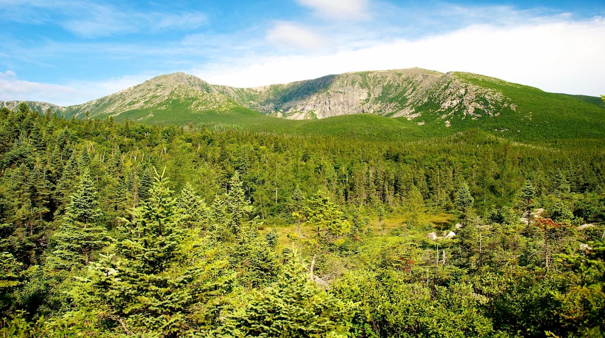
Much of the Longfellow Mountains formed during the Penobscottian orogeny and the subsequent Taconic and Acadian orogenies. The region is home to a number of different layers of both sedimentary and igneous rocks, the latter of which is particularly prevalent around Mount Katahdin in Baxter State Park.
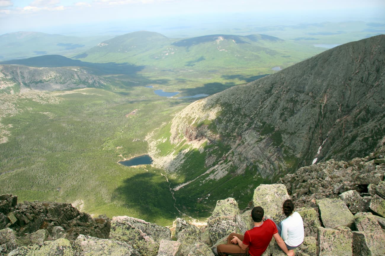
Moreover, the Longfellow Mountains experienced extensive glaciation during the Pleistocene, which helped carve out many of the features that are so striking in the region today. These include the 4 glacial cirques carved out on the slopes of Mount Katahdin, as well as the many moraines and eskers in the region.
Major peaks in the range include Baxter Peak (on Mount Katahdin), Sugarloaf Mountain, Mount Blue, Saddleback Mountain, Baker Mountain, White Cap Mountain, and Big Moose Mountain.
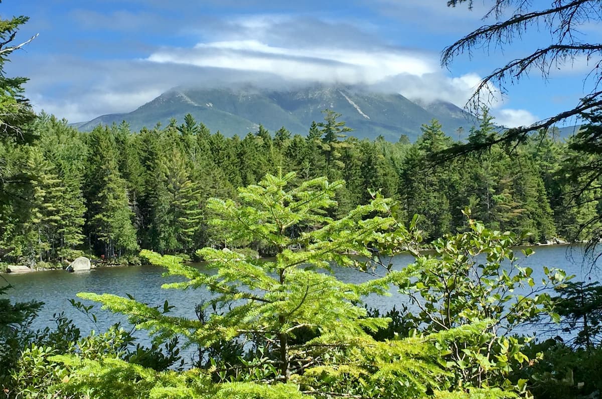
Like much of Maine, the Longfellow Mountains are located within the New England-Acadian forests ecoregion. This region is heavily forested, however, much of the area’s woodlands are second growth or planted by humans as a result of the widespread tradition of logging in the North Maine Woods.
Within the Longfellow Mountains, some of the most dominant species are black spruce, balsam fir, and northern white cedar. However, you can also find yellow birch, eastern white pine, eastern hemlock, black ash, paper birch, white spruce, and quaking aspen.
The region is also prime habitat for a number of different animal species, including bobcats, moose, black bears, white-tailed deer, Canada lynx, coyotes, red fox, and snowshoe hare. Historically, both caribou and grey wolves were also found in the Longfellow Mountains but these species were extirpated from the region by humans after the arrival of European settlers.
Moreover, the Longfellow Mountains contain an impressive number of bird species, which include bald eagles, olive-sided flycatchers, belted kingfishers, Canada jays, red-eyed vireos, and spotted sandpipers, among others.
It’s also worth noting that the Longfellow Mountain, like the rest of the North Maine Woods, experience significant populations of deer flies, mosquitos, black flies, and midges during the spring and summer months. So, bring a head net and perhaps some bug spray if you’re planning to spend a lot of time outside.
The Longfellow Mountains and the surrounding region have been inhabited by humans for thousands of years. A number of groups consider the region to be their ancestral homelands, including the tribes of the Wabanaki Confederacy and, more specifically, the Penobscot Nation.
Although much of the initial colonization by non-Indigenous peoples of the region that is now called Maine focused on the coastal parts of the region, the heavily forested area in the North Maine Woods became particularly important as a source of lumber for the shipbuilding industry. While colonization of the region never led to widespread settlement of the Longfellow Mountains area, it did result in extensive deforestation of the ranges’ woodlands.
By the 1900s, the region was heavily logged and only a tiny portion of the virgin forest remained. These days, the forests are managed by a number of different land owners and state agencies who work together to coordinate commercial resource extraction and outdoor recreation activities in the Longfellow Mountains.
Moreover, in the mid 1900s, former governor of Maine, Percival P. Baxter, started to acquire large tracts of land in the northern parts of the range in an attempt to create a park for outdoor recreation. He purchased large parcels of land over the decades, making his last purchase in 1962 and donating the land to the state of Maine.
These days, the land that Baxter acquired and donated is now known as Baxter State Park, approximately 75% of which is managed as a dedicated wildlife sanctuary. The park also is home to the highest peak in Maine, Mount Katahdin, which also happens to be the northern terminus to the Appalachian Trail.
The Longfellow Mountains are home to some very popular outdoor recreation areas, which offer plenty of great hiking opportunities for the intrepid visitor. Here are some of the best places to check out in the range.
Baxter State Park is located in the northernmost section of the Longfellow Mountains. The park contains over 200,000 acres (80,900ha) of land, including the state’s highest peak, Mount Katahdin.
The park contains an exceptional array of hiking trails and camping areas. Perhaps the most popular hike is to the summit of Mount Katahdin and there are many trails you can take to get to the summit. Be mindful that the weather in Baxter State Park can be harsh at any time of year, even during the summer months, so adequate preparation and equipment is key.
Additionally, the Appalachian Trail terminates on the summit of Mount Katahdin, so Baxter State Park is a particularly popular ending point for thru-hikers on the trail.
Situated in the southwestern portion of the Longfellow Mountains, Mount Blue State Park is a popular hiking, camping, and watersports destination.
The park is located along the shores of Webb Lake, which also offers a sandy beach area for swimming and paddling during the summer months. Throughout the year, there are plenty of hiking, horseback riding, ATV, and mountain biking trails to enjoy.
In the winter, Mount Blue State Park also offers snowshoeing, snowmobiling, and cross-country skiing on its extensive trail system, as well as sledding and skating at the park’s headquarters.
While the Longfellow Mountains are fairly sparsely populated, they are located within driving distance of some of Maine’s largest cities. Here are some of the best places to stay during your visit.
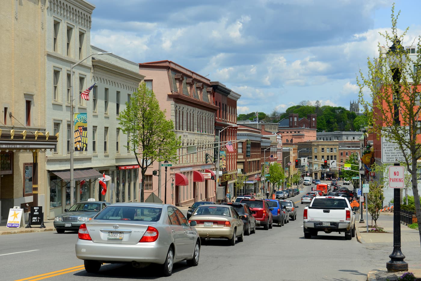
The city of Bangor is located just to the southeast of the Longfellow Mountains. It is home to about 33,000 residents and is situated along the Penobscot River. Historically, the city was a major part of the lumber and shipbuilding industries in the state as its location made it a good place to float logs from the North Maine Woods down to the Atlantic Ocean.
Bangor has an international airport, though it mostly services flights from major cities in the US. The city is also located along I-95, which offers good road access to the rest of the northeastern United States.
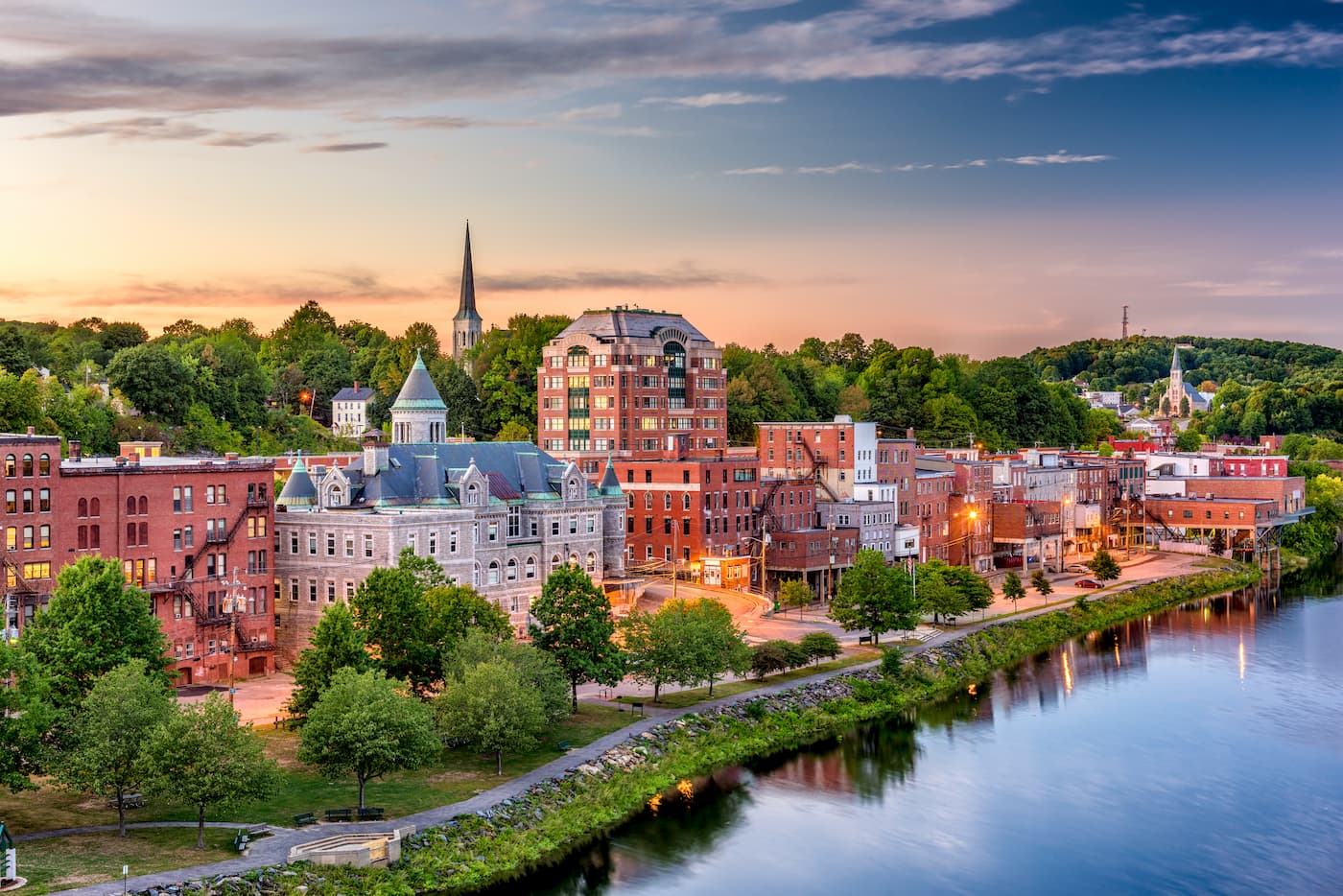
Located to the south of the Longfellow Mountains, the city of Augusta is home to approximately 19,000 people. It is also the capital of the state of Maine, which makes it the third smallest state capital in the country, after South Dakota’s Pierre and Vermont’s Montepelier.
The city is well connected by road to the rest of Maine and it has a small airport that offers flights to Boston. Alternatively, Augusta is just a 1 hour drive from Portland, which has the largest airport in the state.
Millinocket is a town of about 4,500 people that’s located just south of Baxter State Park. Historically, the town’s economy centered on the local paper mill, however, the mill closed in the early 2000s.
That being said, Millinocket is also home to the Baxter State Park headquarters and it is one of the closest towns to the park’s Togue Pond Gatehouse. Millinocket has plenty of great hotels and lodging options that cater to tourists looking to visit the park.


new-england-4000ers
maine-3500
northeast-115-4000ers
fred-beckey-great-peaks
new-england-4000ers
maine-3500
northeast-115-4000ers
fred-beckey-great-peaks


