
Scan the QR code and open PeakVisor on your phone
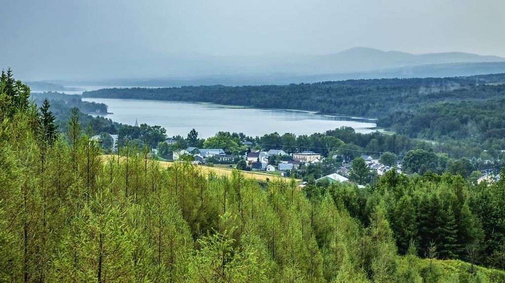
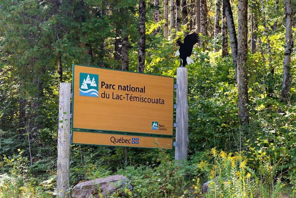
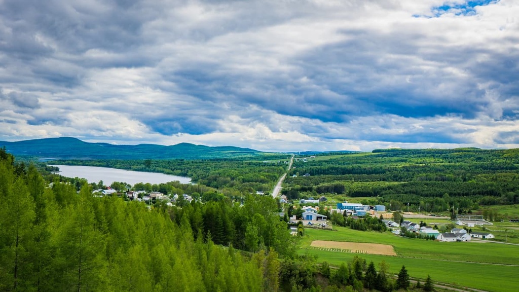
Home to one of the largest lakes in the southeastern part of the Canadian province of Quebec, Parc national du Lac Témiscouata (Lac-Témiscouata National Park) is a provincially protected area that’s popular among outdoor recreationists. The park is best known for its namesake lake, but it also boasts 8 named peaks, the highest and most prominent of which is Montagne du Fourneau (370 m/1,214 ft).
Lac-Témiscouata National Park (parc national du Lac-Témiscouata) is a protected area located in the southeastern part of the Canadian province of Quebec. It encompasses an area of about 175 sq. km (68 sq. mi), and it’s located in the Témiscouata regional county municipality (MRC) within the Bas-Saint-Laurent region.
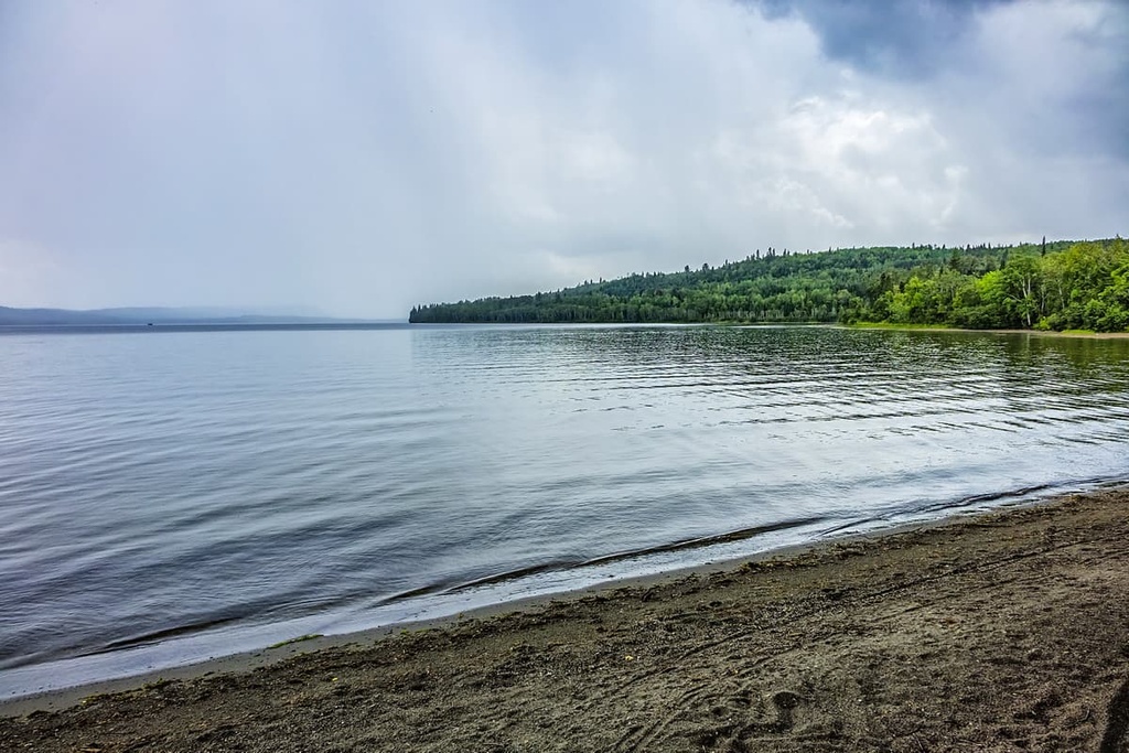
As its name suggests, Lac-Témiscouata National Park’s main feature is its namesake lake. With a maximum length of around 45 km (28 mi) and a maximum width of around 5 km (3.1 mi), Lac Témiscouata is one of the largest bodies of freshwater in southeastern Quebec. The park also includes the lake’s only island—Île Notre-Dame.
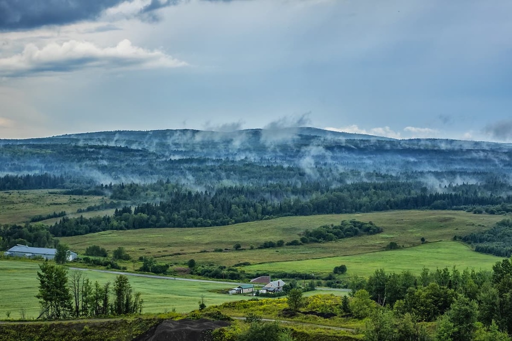
Besides the lake, the park is densely forested and its terrain is dominated by low-lying hills. Lac-Témiscouata National Park is also traversed by the Touladi River and the Ashberish River. There are a number of winding streams and waterfalls in the park as well as old-growth forests and cedar groves.
The park is actually split into two areas: the northeastern area that includes the sectors of Saint-Juste and Squatec, and a much smaller southeastern area that includes the sector of Dégelis.
It’s worth noting that, although it is called a “national park,” Lac-Témiscouata National Park is protected and managed on the provincial level as a national park of Quebec. As a result, it is administered by Sépaq rather than Parks Canada as would be the case with national parks of Canada.
Due to its location just to the south of the Gaspésie Peninsula and its distance from some of Quebec’s largest cities, Lac-Témiscouata National Park is a fairly remote destination. As such, it is surrounded by other areas of public land.
Some of the many other hiking areas that are located within driving distance of Lac-Témiscouata National Park include ZEC Owen, ZEC du Bas-Saint-Laurent, réserve faunique des Rivières-Matapédia-et-Patapédia, réserve écologique Charles-B.-Banville, and réserve faunique de Duchénier. The closest provincial parks to Lac Témiscouata are parc national de la Gaspésie and parc national du Bic.
The peaks within the Lac Témiscouata region are part of the Notre Dame Mountains. The Notre Dame Mountains are a subrange of the Canadian Appalachians that covers much of Quebec to the south of the Saint Lawrence River. In turn, the Canadian Appalachians are a subsection of the greater Appalachians, which extend from the northern part of the US state of Alabama all the way to northern Newfoundland.

These peaks formed alongside the rest of the northern Appalachians. In particular, the Taconic orogeny played a sizable role in the creation of the Notre Dame Mountains as well as the formation of the Long Range Mountains, Longfellow Mountains, and Green Mountains.
The rock composition of the Notre Dame Mountains varies. However, most of the rocks in the region are sedimentary in origin, including various sandstones, limestones, and conglomerates, the bulk of which are Silurian and Devonian in age. There are also some metamorphic rocks in the region (particularly slate) as well as some igneous intrusions.
In more recent millennia, the area of Lac Témiscouata experienced widespread glaciation. The glaciers and ice sheets of the Pleistocene helped to carve out the many valleys that we see in the region today and they eroded away at the jagged peaks of the Notre Dame Mountains, leaving us with the rounded summits that currently dominate the Lac Témiscouata area.
Major peaks located within the national park include Montagne du Fourneau, Montagne des Blocs, Montagne du Serpent, and Pointe Ronde.
The ecology of the Lac Témiscouata area is similar to that of the surrounding region. While parts of the region were heavily logged in decades past, there are some relatively old-growth forests in Lac-Témiscouata National Park, too.
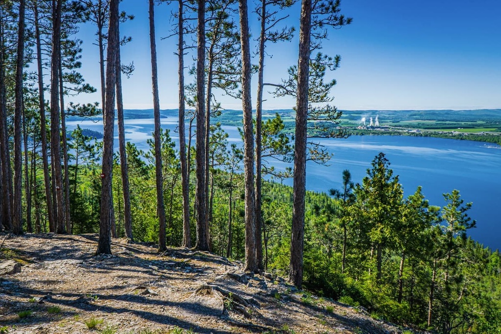
For the most part, the landscape of Lac-Témiscouata National Park is heavily forested. It’s estimated that over 90% of the park is forested terrain. Some of the most common tree species in the area include yellow birch, red spruce, balsam fir, larch, white pine, red pine, and sugar maples.
Additionally, the park is home to a handful of other ecosystems such as peat bogs, swamps, and marshes. There are a number of rare species found in the park, including bulbous calypso, bog valerian, Andromeda-flower pterospora, and Leiberg's water-lily.
As far as wildlife goes, the park is home to at least 40 species of mammals, including moose, coyotes, white-tailed deer, red foxes, stoats, American minks, black bears, Canada lynx, fishers, snowshoe hares, and river otters.
The park’s lakes and rivers are the perfect habitats for a variety of fish species, including brook trout, lake trout, lake whitefish, yellow perch, and three-spined stickleback. Some of the many amphibians that live in the region include wood frogs, bullfrogs, and four-toed salamanders.
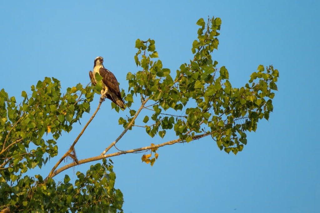
Lac-Témiscouata National Park is also home to an array of bird species. This includes ospreys, American kestrels, red-tailed hawks, hen harriers, and broad-winged hawks, among others.
Humans have lived in the area that is now Lac-Témiscouata National Park for thousands of years. The park is part of the traditional territory of the Wəlastəkwewiyik (Maliseet) and Miꞌkmaq, whose ancestors have lived in the region since time immemorial.
Researchers have uncovered more than 60 archeological sites within the Lac Témiscouata area and more than 50 within the park itself. The oldest artifacts in the region date back around 9,400 to 9,000 years and most of these artifacts were originally located near the Touladi lakes.
Historically, many First Nations traveled through and lived in the Lac Témiscouata region to take advantage of the area’s prime environment for hunting and gathering. The region is also home to a sizable amount of chert, which has historically been used to make tools and weapons.
People of European descent first started arriving in the Lac Témiscouata region sometime during the eighteenth century, though France started colonizing the area that is now Quebec during the early seventeenth century.
Parishes started to appear throughout the Lac Témiscouata area during the nineteenth century. In 1839, the British also built Fort Ingall near the shores of the lake as a defense mechanism during the bloodless Aroostook War. The fort itself was eventually demolished during the early twentieth century, but it was reconstructed in the 1970s.
The idea for Lac-Témiscouata National Park began with a conservation movement in the 1960s. In 1996, the managers of Quebec’s provincial parks started to look for potential sites in the southern part of the province that had the qualities needed for a national park of Quebec. During this process, the area of Lac Témiscouata was identified as being a good candidate for a future national park.
In 2003, the Témisoucata MRC petitioned the Ministry of Sustainable Development, Environment and Parks (Ministère du Développement durable, de l'Environnement et des Parcs) in Quebec to create a national park around the lake. After a few years of consultative meetings and discussions, Lac-Témiscouata National Park was formally established in 2009.
Lac-Témiscouata National Park boasts 10 maintained trails that feature a total of 38 km (23.6 mi) of walkable paths. Each of these trails offers something different for hikers and there’s something in the park to suit adventurers of all interests and skill levels.
The best hikes in Lac-Témiscouata National Park include:
It’s also worth mentioning that the Petit Témis Interprovincial Bicycle Path runs partially through Lac-Témiscouata National Park. This trail is 134 km (83 mi) long and it boasts gravel paths that connect Quebec and New Brunswick. It runs along a decommissioned railway line and all of the slopes on the trail have a gradient of 4% or less, so it’s suitable for both hiking and cycling.
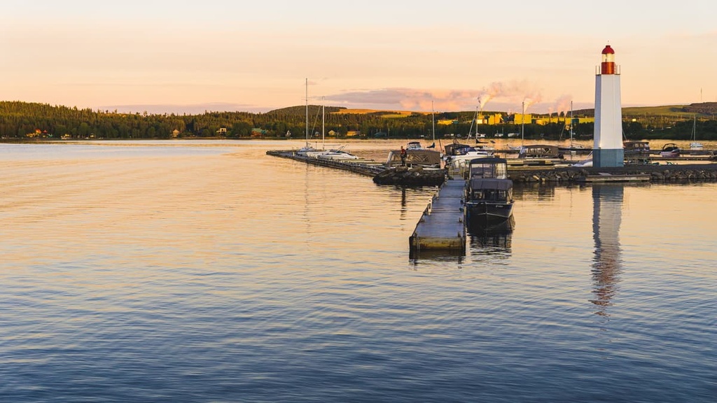
In addition to its hiking trails, Lac-Témiscouata National Park offers a number of other outdoor recreation opportunities. Some of the many activities you can enjoy in the park include:
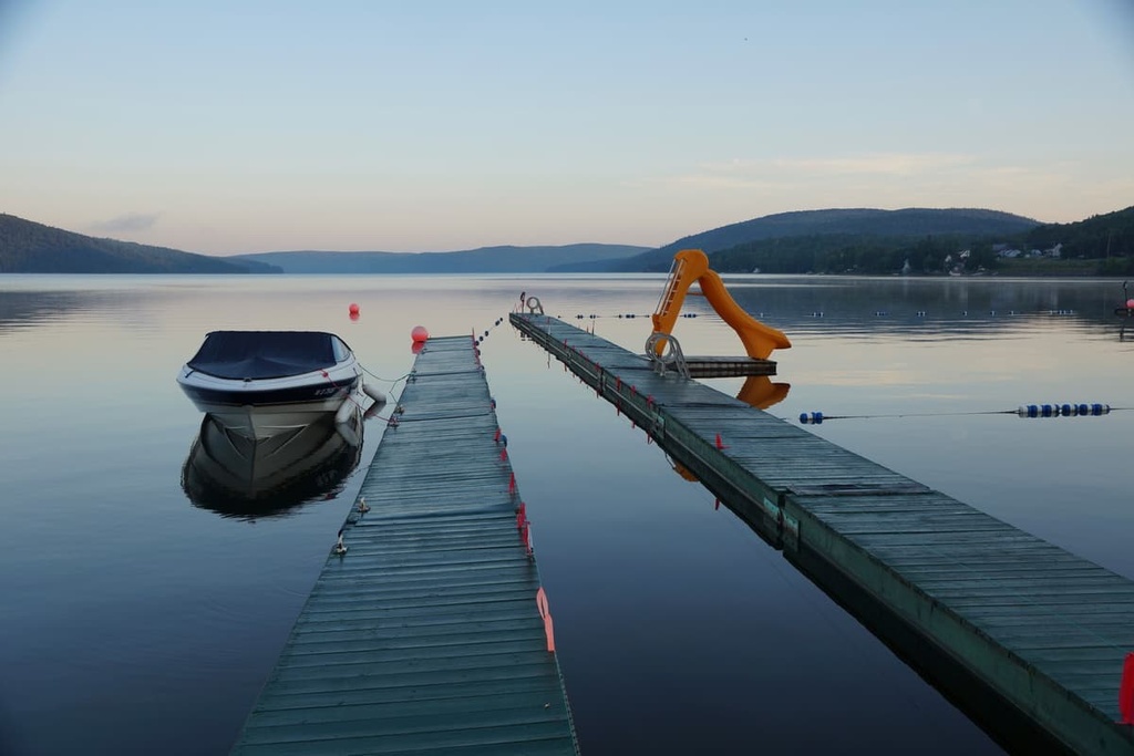
Lac-Témiscouata National Park is one of the most popular national parks of Quebec for families and for anyone else who enjoys watersports. Here are some essential bits of information to keep in mind before your next visit to the park.
As is the case with most national parks of Quebec, there is an entrance fee for all visitors over the age of 17 to Lac-Témiscouata National Park. Park entrance fees are charged per adult, per day.
If you plan to visit the park for more than a week in a given year, an annual park card might be a good option. Alternatively, if you want to visit multiple national parks in Quebec, you may want to consider the Annual Québec National Parks Card, which gets you unlimited access to all of the national parks of Quebec for 12 months.
Keep in mind that the park’s entrance fee doesn’t include fishing access rights, hut fees, or camping fees. Anglers need to pay for a daily right of access pass to fish in the park. Check out the Sépaq website for the most up-to-date information about fees for Lac-Témiscouata National Park.
Lac-Témiscouata National Park is fairly easy to get to by road. You can access the park via Quebec Route 185, which will take you to Saint-Louis-du-Ha! Ha! and the community of Témiscouata-sur-le-Lac to the south of the lake.
From there, you can travel along QC Route 232 to get to the northwestern side of the park or you can take QC Route 85 and QC Route 295 to the southern and eastern sides of the park.
Keep in mind that GPS units are sometimes inaccurate when it comes to driving directions in this part of Quebec. You can find detailed driving directions from most of the region’s major cities on the Sépaq website.
There are five main visitor and registration centers in Lac-Témiscouata National Park, including:
Most of these visitor centers offer reception areas where you can get more information about the park as well as gift shops, equipment rental stores, playgrounds, free Wi-Fi access, potable water and bathrooms, and self-registration kiosks.
Note that the majority of these visitor centers are not open during the winter months and that most are only open during the daytime hours. Head to the Sépaq website for more detailed information about the opening schedules for each visitor center.
Lac-Témiscouata National Park offers a number of camping and accommodation options for visitors who want to spend the night under the stars. Here’s what you need to know before you leave home.
There are two developed campgrounds with tent camping sites in Lac-Témiscouata National Park:
Keep in mind that you’ll need reservations to stay at these campgrounds. Sites can fill up quickly during the summer months, so be sure to book your stay online well in advance to avoid disappointment.
Ready-to-Camps are a type of pre-pitched canvas tent that you can find in many national parks of Quebec. They are ideal for campers who don’t have a lot of their own gear or for people who just don’t want to deal with the hassle of setting up a tent.
There are 9 Ready-to-Camps in the Anse-à-William Campground and 14 Ready-to-Camps in the Grands-Pins Campground. (Note that the Grands-Pins Campground doesn’t have regular tent sites available—only Ready-to-Camps.)
Each Ready-to-Camp has two large beds, a full set of cooking equipment and an electric cooker, a picnic table, lighting, and a space heater. This makes it ideal for couples, families, and small groups who want to visit the park in style.
As is the case with the campgrounds in the park, you need to make reservations online in order to stay in Lac-Témiscouata National Park’s Ready-to-Camps. Since there are so few of these sites, it’s highly recommended that you book your stay well in advance of your trip.
Lac-Témiscouata National Park offers limited canoe camping for intrepid visitors who want to experience some of the most beautiful areas of the park. There are a handful of canoe camping sites located on the shores of Grand lac Touladi.
The only way to reach the sites is via a 1.3 km (0.8 mi) long paddle, which takes most canoeists about 30 minutes to complete. Each site has freestanding tent platforms and pit toilets but you will need to bring your own food and supplies.
Reservations are required for canoe camping in the park as spots are limited. You can call Sépaq directly at +1 (800) 665-6527 to reserve your canoe camping site.
In addition to its campsites and Ready-to-Camp sites, Lac-Témiscouata National Park offers two rentable huts for visitors to choose from. These huts are:
As there are only two huts in the park that are available for rent, reservations tend to fill up quickly. You can book your stay in one of the park's huts by calling Sépaq directly at +1 (800) 665-6527.
Looking for a place to stay during your next trip to Lac-Témiscouata National Park? Here are some of the best cities and towns to check out in the region.
Témiscouata-sur-le-Lac is one of the largest communities in the area around Lac Témiscouata. The municipality was officially created in 2010 after the mergers of a handful of communities including Cabano and Notre-Dame-du-Lac.
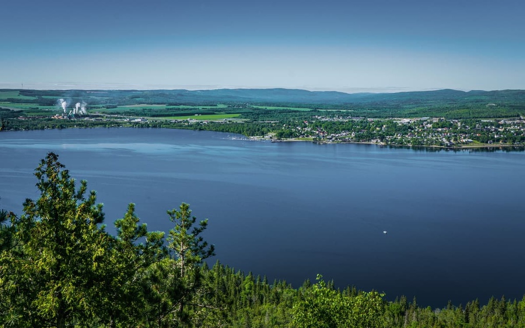
Nowadays, Témiscouata-sur-le-Lac is home to around 5,000 residents. It is situated on the southern side of the lake and is one of the main destinations for tourists to the region.
Lac Témiscouatais one of the major attractions in the town and it is particularly popular for visitors looking to go fishing, swimming, and boating during their holidays. Another popular destination in Témiscouata-sur-le-Lac is Fort Ingall, which is a reconstructed nineteenth-century British Fort.
If you saw the name Saint-Louis-du-Ha! Ha! and thought “that can’t actually be a town name, right?” you’re not alone. But Saint-Louis-du-Ha! Ha! is a real place and it’s a small town that’s located just to the south of Lac Témiscouata.
The Ha! Ha! in the town’s name is believed to refer to the presence of a hâ-hâ, which is a type of sunken fence that was commonly used in parks and gardens during the eighteenth century. Hâ-hâs were particularly popular in French gardens at the time and the trend spread to England where it was also used in some upscale landscaped gardens.
It’s worth noting that Saint-Louis-du-Ha! Ha! is not the only town with an exclamation point in its name. The village of Westward Ho! in Devon, England, also has an exclamation point in its name that comes from the name of the 1855 novel Westward Ho! By Charles Kingsley. But Saint-Louis-du-Ha! Ha! is the only town with two exclamation points in its name.
The town itself has only around 1,300 residents, so it’s much smaller than many of its neighbors. There are a few restaurants, shops, and hotels in Saint-Louis-du-Ha! Ha!, but you can also get most of the services you need in the Cabano section of Témiscouata-sur-le-Lac.
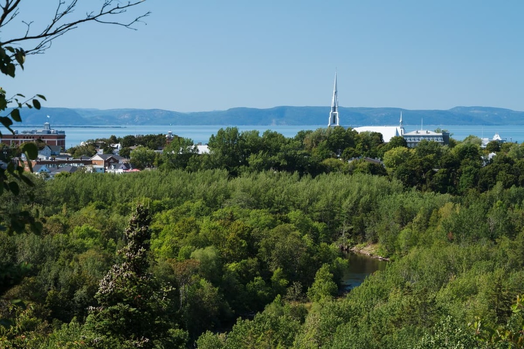
Rivière-du-Loup is a city of approximately 20,000 people located to the west of the Lac-Témiscouata National Park on the shores of the Saint Lawrence River. The town features a plethora of shops, restaurants, cafés, and hotels, particularly along rue LaFontaine, which is one of its main commercial areas.
Due to the fact that Rivière-du-Loup is located about halfway between Montreal and the town of Gaspé, the city is a common stopping point for trips to the Gaspé Peninsula. The Trans-Canada Highway also passes through the city as it heads toward New Brunswick. You can also take a ferry across the Saint Lawrence River to Rivière-du-Loup from Saint-Siméon.
Edmunston is a city of around 17,000 residents that’s located between Quebec and the US state of Maine in New Brunswick. It is among the largest cities in northwestern New Brunswick and it serves as a commercial center for the surrounding area in Quebec, too.
Despite its relatively large size, Edmonton's economy is mostly centered on the paper and forestry industries. It is also a major provider of healthcare in the area and it is home to a campus of the University of Moncton.
Edmunston is home to a number of attractions and it hosts a handful of important events each year. In particular, it hosts an annual jazz festival in June and in August and it hosts a cultural festival called the Foire Brayonne each summer. Other notable attractions in the city include the New Brunswick Botanical Garden and the nearby ski resort at Mont Farlagne.
Quebec City is the capital of the province of Quebec. It is home to around 530,000 people, which makes it the second-largest city in the province after Montreal.
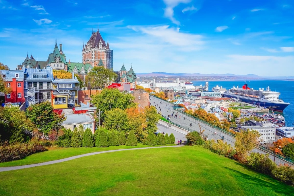
Although it isn’t as big as Montreal, there’s no shortage of cultural sites and attractions in Quebec City. In fact, Quebec City is one of the oldest European-established cities still in existence in North America as it was the site of the colony created by Samuel de Champlain of France in 1608.
Quebec City boasts many important attractions including its old town, which is a UNESCO World Heritage Site. The city is also a major transportation hub in the region as it is easily accessible by road, rail, water, and air.


