Get PeakVisor App
Sign In
Search by GPS coordinates
- Latitude
- ° ' ''
- Longitude
- ° ' ''
- Units of Length

Yes
Cancel
❤ Wishlist ×
Choose
Delete
Parc national de Forillon (Forillon National Park) is a federally protected area located in the easternmost part of the Gaspé Peninsula in the Canadian province of Quebec. There are 10 named mountains in the national park, the highest and most prominent of which is Montagne de Roche (319 m/1,047 ft).
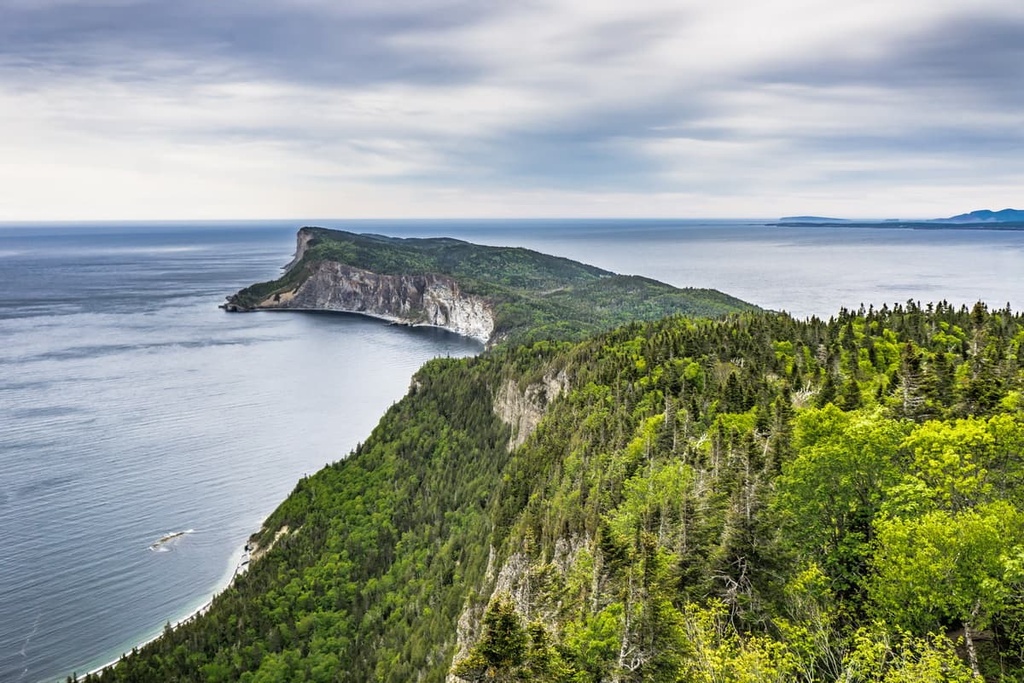
Forillon National Park (Parc national de Forillon) is a protected area that encompasses rugged stretches of coastline, dense forests, and historic buildings in the easternmost part of the Gaspé Peninsula in Quebec, Canada. In total, Forillon contains 244 sq. km (94 sq. mi) of terrain, which makes it one of the smaller national parks in the country.
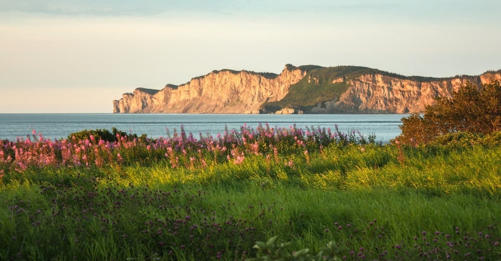
The park is located just to the north of the community of Gaspé in the La Côte-de-Gaspé Regional County Municipality (MRC), which is located in the region of Gaspésie-Îles-de-la-Madeleine. It features a number of famous locations, including the scenic Cap Bon-Ami, which is a particularly great place to catch the sunset on a summer evening.
Forillon National Park is interesting for a number of reasons, the first of which is that it’s the oldest national park of Canada in Quebec as it was established in 1970. It’s worth noting that Forillon is a national park of Canada and not a national park of Quebec like the nearby parc national de la Gaspésie (Gaspésie National Park).
National parks of Quebec, which are designated at the provincial level, are similar to provincial parks in other provinces. They are managed primarily by Sépaq under the Loi sur les parcs (Parks Act) of 1977 in Quebec.
Meanwhile, national parks of Canada are managed by Parks Canada as part of the Loi sur les parcs nationaux du Canada (Canada National Parks Act) of 2000. However, Forillon is administered through a joint federal-provincial agreement that provides the government of Quebec with some control over how the area is managed.
Another interesting tidbit about the park is that Forillon National Park is located just to the north of where Jacques Cartier landed and planted a cross in 1534, thereby claiming the land for France.
Of course, the land that is now called the Gaspé Peninsula had been home to humans for thousands of years and is part of the ancestral lands of the Mi'kmaq. But Cartier’s arrival brought with it the start of French colonization in the region in the early sixteenth century and, as a result, Gaspé is often referred to as the “Cradle of French America.”
As Forillon National Park encompasses primarily the outer tip of the Gaspé Peninsula, it is surrounded by water on nearly all sides.
Nevertheless, it is located within driving distance of many other protected areas such as ZEC de la Rivière-York, réserve écologique de la Grand-Rivière, réserve faunique de la Rivière-Saint-Jean, ZEC de la Rivière-Madeleine, parc national de la Gaspésie, Parc national de l'Île-Bonaventure-et-du-Rocher-Percé, and réserve faunique des Chic-Chocs.
Technically speaking, the peaks in Forillon National Park are part of the Canadian Appalachians, which are a subrange of the Appalachian Mountains. They may also be classified as part of the Notre Dame Mountains, which is a subrange of the Canadian Appalachians.
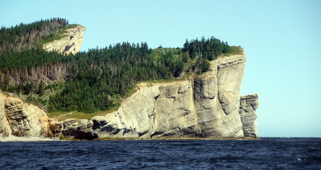
However, even though Forillon National Park is home to some named mountains, the peaks themselves are not the highlight of the park. Rather, the park itself is perhaps best known for its rugged sea cliffs and beaches.
Forillon National Park is a particularly great place to see and experience the geologic history of the Gaspé Peninsula. In fact, the geology of the region was first documented by the so-called father of Canadian geology, Sir William Edmond Logan.
There are ten distinct geologic formations in the park alone, including different layers of limestone and sandstone that date back to the Devonian, Silurian, and Ordovician periods. The park is also home to an extensive collection of fossils.
The topography in the region formed as a result of multiple mountain-building events, including the Taconic, Acadian, and Alleghenian orogenies. Of all these mountain-building events, the Acadian orogeny arguably had the largest impact on this particular region as it caused the accretion of continental fragments to the supercontinent of Laurentia and the formation of large folds that are present on the peninsula to this day.
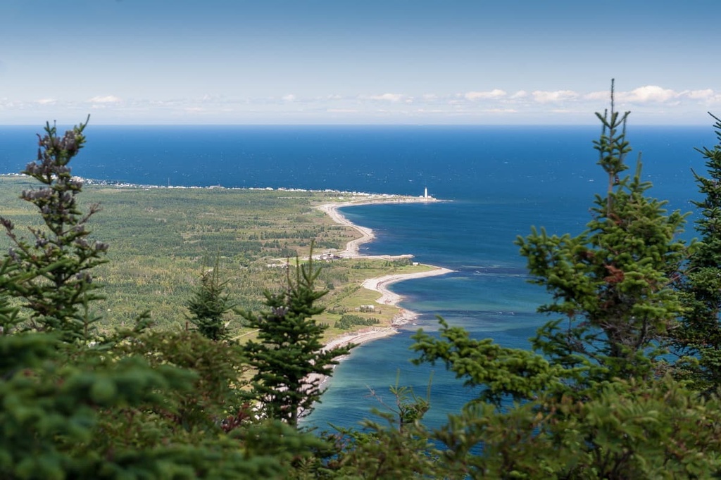
One of the most visually striking areas of the park is the Land’s End promontory that’s located at the very tip of the peninsula. Here, you can see massive sea cliffs that tower over the open ocean below. There's even a famous lighthouse called the Cap Gaspé Lighthouse (Le phase de Cap Gaspé) that’s located on the promontory atop a huge cliff.
The park itself may not be particularly well-known for its mountains, though it is home to an array of high points, including Montagne de Roche, Mont Saint-Alban, Cap Bon Ami, and Cap Gaspé.
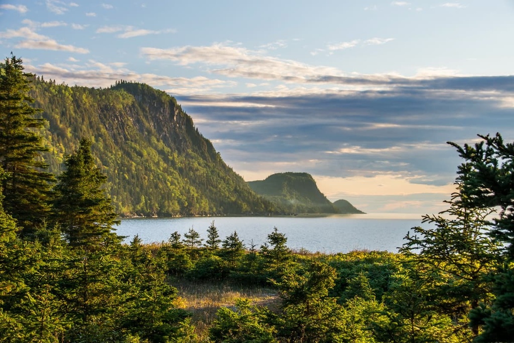
Ecologically, the landscape of Forillon National Park is similar to that of the rest of the easternmost part of the Gaspé Peninsula.
The park itself is home to more than 700 plant species in its forests, alpine meadows, sand dunes, fallow fields, and saltwater marshes. In fact, the park’s alpine areas, which are found on the tops of its high cliffs and its relatively lofty peaks, feature more than 110 plant species, including a wide array of low-lying grasses, mosses, and sedges.
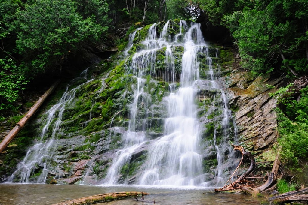
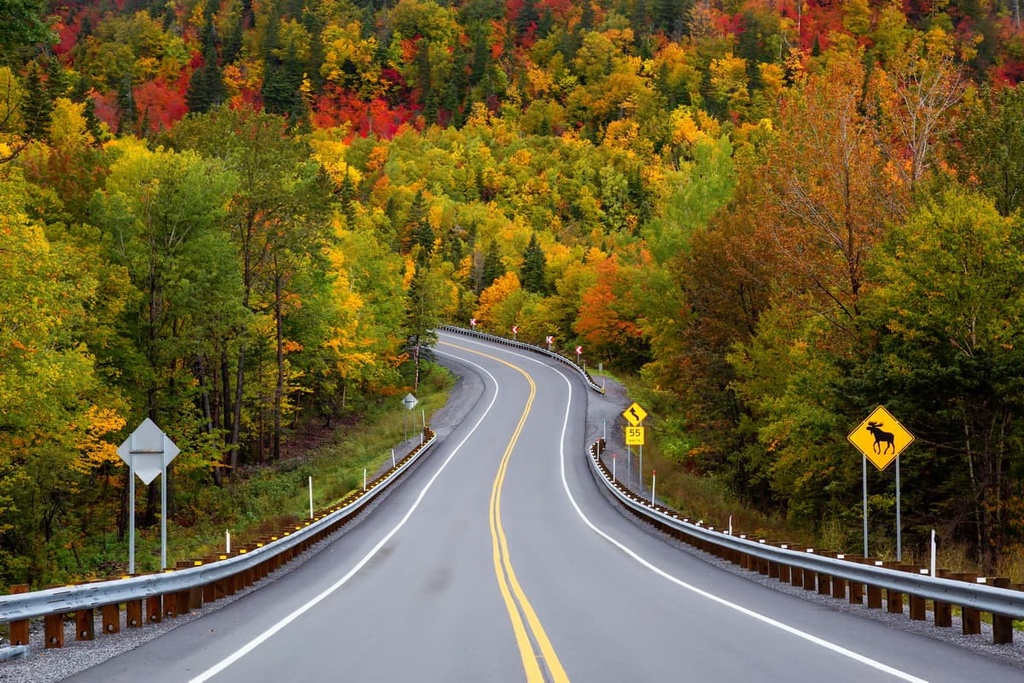
Meanwhile, the park’s forests feature a mix of deciduous and coniferous trees. There are stands of white birch, yellow birch, fir, and maple trees in the forest, among other species.
As far as wildlife goes, Forillon National Park is home to more than 245 bird species. This includes everything from kittiwakes and gannets to cormorants, razorbills, guillemots, gulls, herons, sparrows, woodpeckers, jays, warblers, northern harriers, rough-legged hawks, kestrels, peregrine falcons, ospreys, and even Atlantic puffins.
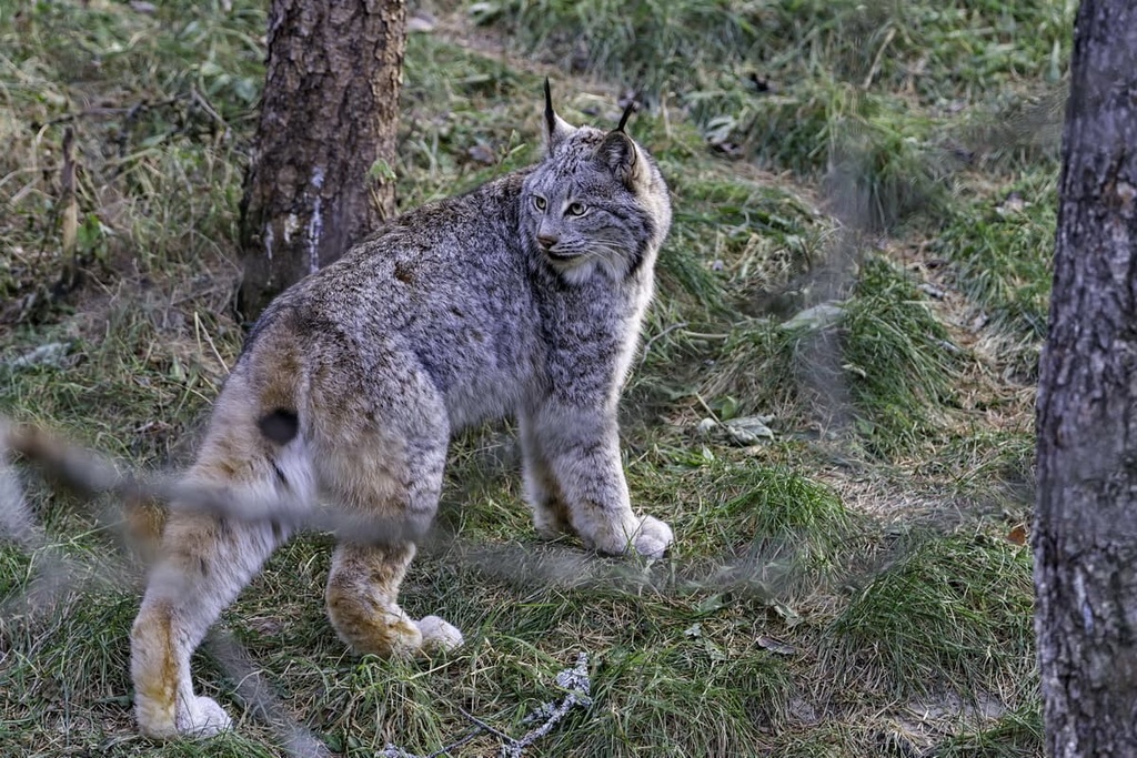
Terrestrial mammals in the park run the gamut from white-tailed deer and porcupines to moose, Canada lynx, coyotes, black bears, snowshoe hares, minks, and red foxes.
Forillon National Park’s waterways and coastal areas are also home to a wide array of different marine species.
This includes lobsters, crabs, mussels, and sea urchins as well as gray seals and harbor seals, though only the harbor seal lives in the area year-round. Some of the many pinniped species that you can see from the shores of the park include harbor porpoises, pilot whales, humpback whales, fin whales, minke whales, and even blue whales.
The land that is now called Forillon National Park has an extensive history of human habitation.
In particular, this land is part of the traditional territory of the Mi'kmaq and their ancestors who have lived in the region for thousands of years. Based on cultural knowledge and archeological evidence, it’s believed that the first people to live in this part of the Gaspé Peninsula arrived about 4,000 years ago.
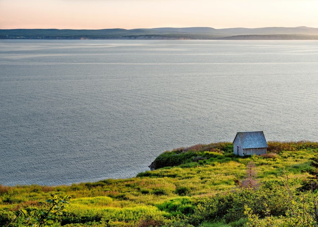
The region around Forillon National Park is also of particular historical importance because it is located just to the north of where sailor Jacques Cartier made landfall in what is now Quebec in 1534. Cartier and his crew erected a cross at what is now Gaspé harbor and claimed possession of the land for the King of France (despite the fact that the Mi'kmaq and other First Nations already lived in the region).
While Cartier’s arrival was particularly important for the course of history as it was part of the impetus behind French colonization of the region, it’s worth mentioning that he wasn't the first European to have arrived in the region. It’s believed that Basque, Portuguese, Spanish, and even French fishermen had come to the waters around the Gaspé Peninsula to fish for cod in the decades before Cartier’s arrival.
Furthermore, Cartier’s arrival in the region didn’t immediately set off a boom of colonization on the Gaspé Peninsula. French colonization of the region didn’t really begin in earnest until after Samuel de Champlain established a colony at what is now Quebec City in 1608.
During the next few centuries, the region that is now the Gaspé Peninsula, particularly around the modern borders of Forillon National Park, was primarily used for fishing by France and other European fishing fleets. There were a few small fishing villages in the region, though no major settlements were established until much later.
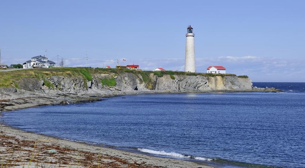
The peninsula remained under French control for many years until the British Conquest of New France between 1758 and 1760 during the Seven Years’ War. During this time, the fishing stations near Forillon were destroyed by British troops.
After the war, Britain claimed control of the region and began stationing troops in the area around Forillon. This was a strategic move as it gave Britain more control over the peninsula’s waters, which were of vital economic importance.
While under British rule, the Gaspé Peninsula became a particularly popular destination for immigrants from England, Ireland, Scotland, and even the northeastern part of what would later become the US. However, the majority of the immigrants during this time came from the Channel Islands of Guernsey and Jersey.
During this time, small fishing villages began to pop up around the eastern end of the peninsula. A number of Jersey-based fishing companies set up operations in the region, which helped to fuel local industries. You can still see many of the historic buildings from this period of time around the Grande-Grave area, such as the Dolbel-Roberts House, Blanchette House, and Hyman & Sons General Store.
A cod fishing and farming-based lifestyle continued in the region throughout the following centuries, even as Canada became an independent country. Indeed, although the region’s economy now also includes sizable lumber and tourism industries, fishing and agriculture are both still vital to the region.
During World War II, the region around the modern park also played a strategic role in Canada’s defenses from the Axis Powers.
In fact, the area was home to Fort Peninsula (called HMCS Fort Ramsay at the time), a shore battery that was designed to protect Gaspé Bay during the Battle of the St. Lawrence. To this day, the shore battery remains the only completely preserved relic of its kind that’s open to the public in Quebec.
The idea for the creation of Forillon National Park came about in the 1960s thanks to the work of Jean Chrétien who later became the Prime Minister of Canada but was a minister partially responsible for park management at the time.
In 1970, the government of Canada requested that the government of Quebec expropriate the homes and lands of the people living in the area that was to become the national park.
There were approximately 225 families living in what would become Forillon National Park at the time and over 1,000 other people had land claims to the region. They were told that giving up their homes for the park would lead to the creation of thousands of jobs and would boost the local economy.
Eventually, all of these families did leave their homes and they were barely compensated for their loss of property. Many former residents of the area lost businesses in the process and many went into debt as they attempted to restart their lives elsewhere on the Peninsula. The economic promises that were given to the region’s residents also didn’t quite pan out as the park directly created fewer than 100 full-time jobs in the region.
The House of Commons issued an official apology in 2011 for the expropriation process and for the way that the residents of the region were treated at the time. Parks Canada now offers free entrance passes to the park, too, for people who were expropriated from the region and their descendants.
Forillon National Park is a relatively small park when compared to some of Canada’s other famous locales. However, it is still filled with excellent hiking trails for trekkers of all experience levels.
Some of the best hikes in Forillon National Park include:
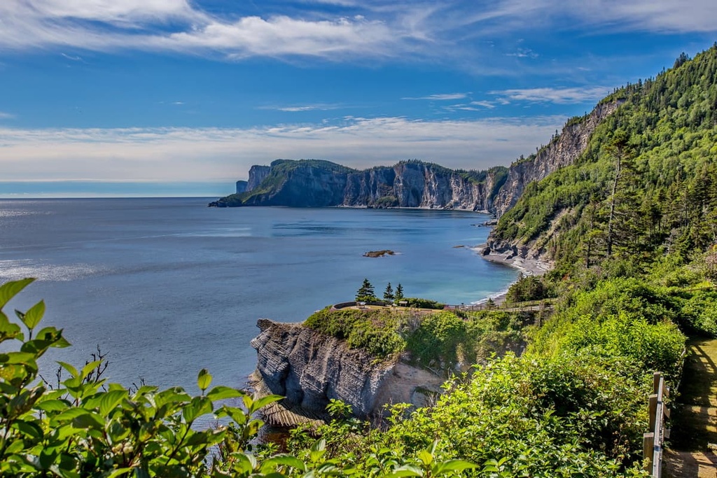
Forillon National Park offers a range of other activities for visitors to enjoy in addition to hiking. Some of the park’s many activities include sea kayaking, fishing, kite surfing, snorkeling, geocaching, whale watching, cycling, and even cross-country skiing during the winter months.
If you are new to some of these activities, there are guide services in the area that offer day tours. For example, Cap Aventure is one of the park’s partners for guided sea kayaking trips in the region.
Additionally, keep in mind that the park is not technically in operation outside of the months of May through October. Visitors are still welcome to adventure in Forillon National Park, though most roads and buildings will be closed. If you want to go cross-country skiing in the park, you can get a day pass and rent equipment in Gaspé and the surrounding towns before your outing.
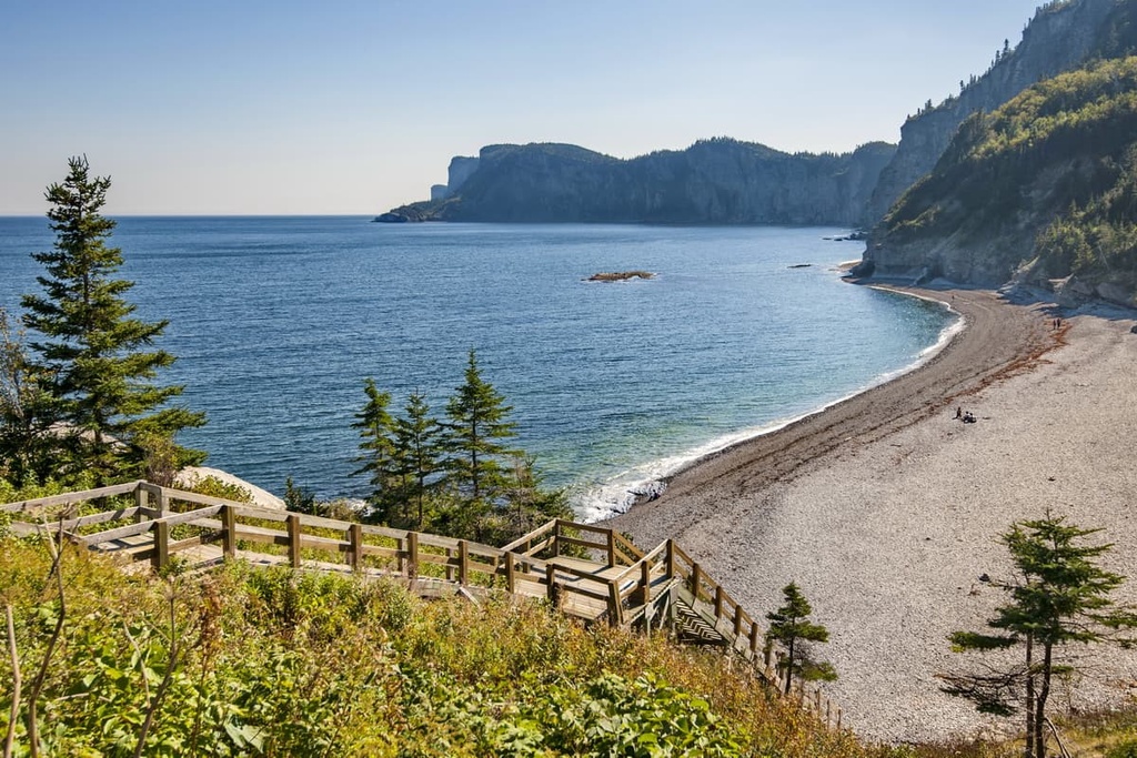
A trip to Forillon National Park is sure to be an exciting adventure. Here are some important bits of information to keep in mind as you plan your journey.
As is the case with most national parks of Canada, anyone looking to visit Forillon National Park will need to pay an entrance fee. Entrance is generally free for people aged 17 and under and fees may be reduced during the shoulder seasons (spring and fall).
If you’re going to visit more than one national park in Canada or if you plan to spend more than a couple of days in Forillon National Park, you may want to consider getting a park access pass. You can get a pass solely for Forillon National Park (there are family passes available) or you can get a Parks Canada Discovery Pass, which gets you access to all national parks of Canada.
Keep in mind that your entrance fee to Forillon National Park does not include the cost of camping (either in a campground or in the backcountry) and it doesn’t include any other equipment rentals or mooring fees that you may incur during your travels. For the latest information on park fees, check out the Parks Canada website.
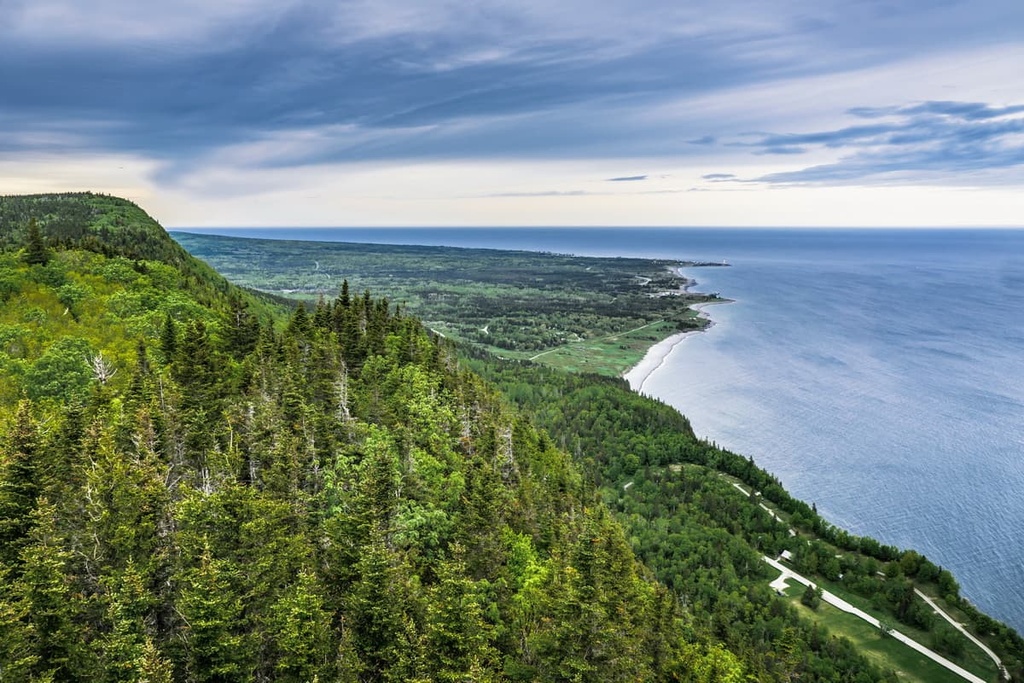
Forillon National Park may be located on the eastern tip of the Gaspé Peninsula, but it’s surprisingly easy to get to by road.
There is a highway (Quebec Route 132) that runs the entire south shore of the Saint Lawrence River.
It starts at Quebec’s border with New York to the south of Montreal and it goes all the way around the edge of the Gaspé Peninsula to the community of Matapédia along the border of Quebec and New Brunswick. QC Route 132 then heads northward through the Gaspé Peninsula until it arrives at Sainte-Flavie on the shores of the Saint Lawrence River where it intersects with itself.
Thanks to QC Route 132 (which is the longest highway in Quebec), the coastal areas of the Gaspé Peninsula—including Forillon National Park—are very accessible by road. It will take a long time to drive from place to place due to the large size of the peninsula, but driving throughout the region is fairly straightforward.
There are a number of major cities and towns located within a day’s drive of the park.
From Campbellton, New Brunswick, the park is just over 4 hours away by car. Sainte-Anne-des-Monts is just under 3 hours away from the park while Rimouski is 5 hours away and Quebec City is 8 hours away. From the park, you can also get to Portland, Maine, in the US in around 11 hours—just don’t forget to bring your passport!
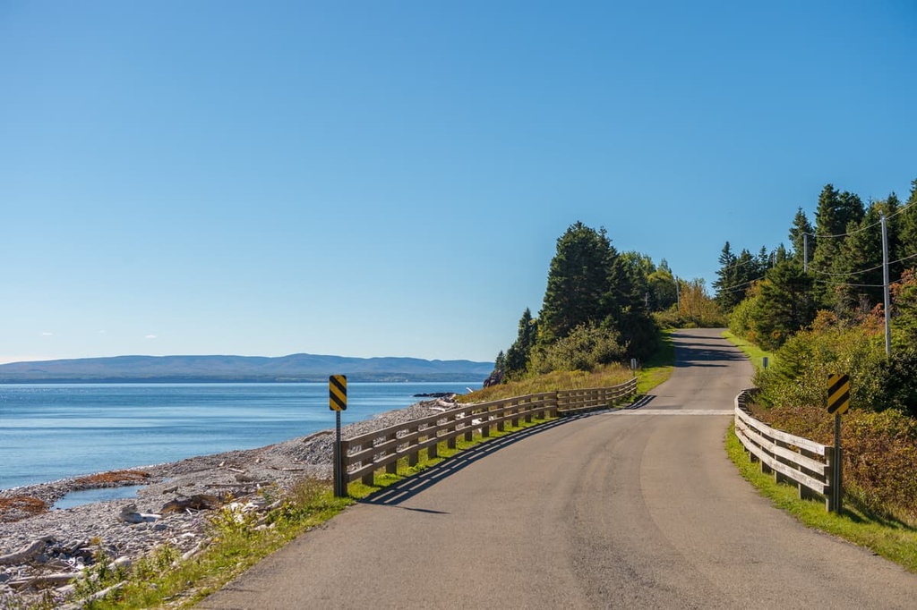
If you don’t want to drive, there is technically the Michel-Pouliot Gaspé Airport (YGP), which is located to the west of the community of Gaspé. You can also take the Orléans Express bus service, which offers bus transfers from cities like Montreal, Quebec City, and Rimouski.
The town of Gaspé also has a regional public transport system that can bring you to various places around the eastern part of the peninsula. However, flights to the airport are very limited and the bus journey can take more than 20 hours if you're traveling from Montreal, so driving is normally your best bet.
There are a number of visitor and registration centers located throughout Forillon National Park and the surrounding area.
The park’s Visitor Information and Discovery Centre offers free Wi-Fi, self-service laundry facilities, a gift shop, a bistro, charging stations for electric vehicles, and a children’s play area.
Meanwhile, the Recreation Center is located in the far southern part of the park. It offers self-service laundry machines, free Wi-Fi, tennis courts, outdoor playgrounds, a gift shop, a restaurant, and a heated pool. However, there are fees to use the pool and you will need to make a reservation in advance.
Keep in mind that the park’s visitor and recreation centers may be closed during the winter months. Always double-check the Parks Canada website before setting off on your adventure.
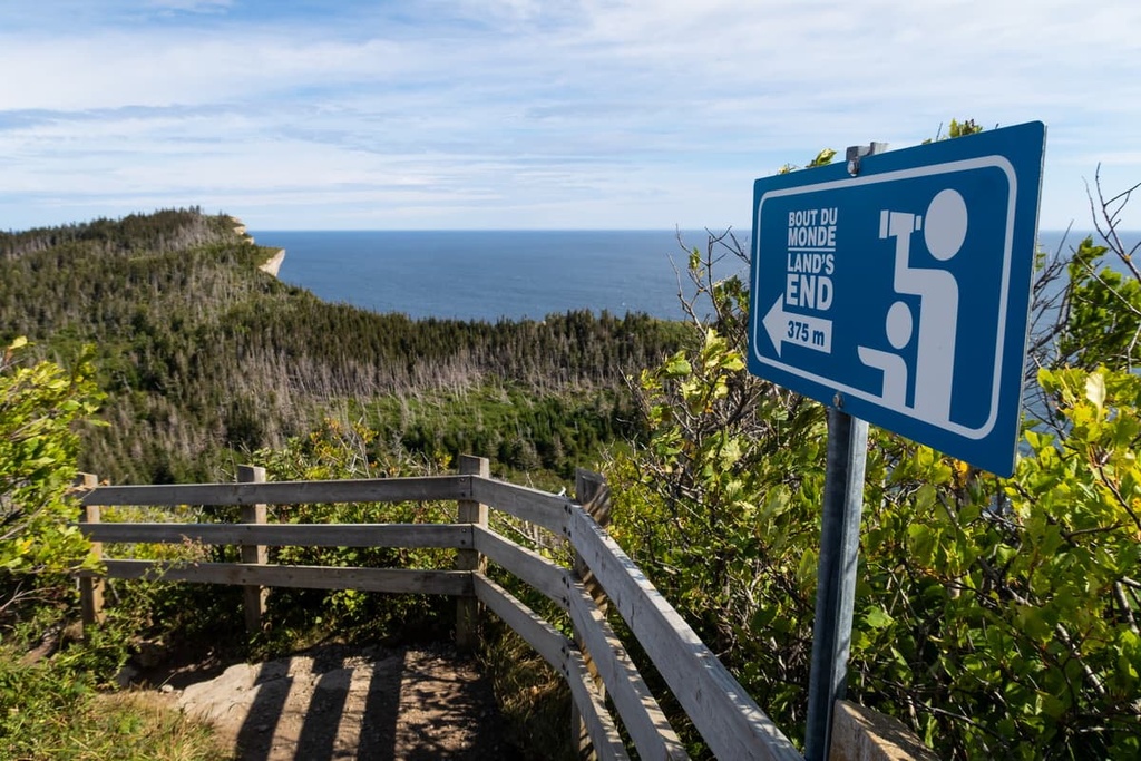
Forillon National Park offers a few different camping and accommodation options for visitors. Here’s what you need to know before your next trip to the region.
There are three developed frontcountry campgrounds in Forillon National Park that contain more than 350 campsites. These include:
Keep in mind that each campsite in the park can only accommodate a maximum of 7 people and 2 vehicles. Reservations are highly recommended and can be made online at the Parks Canada website.
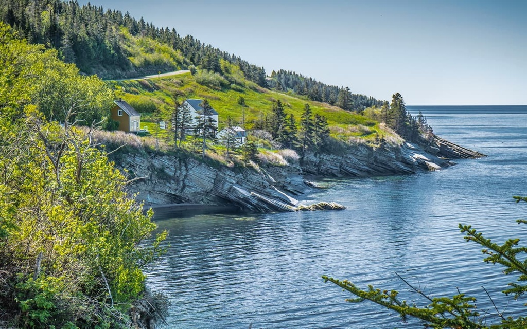
If you want to spend the night outside but a classic camping tent isn’t quite your style, Forillon National Park offers a range of other accommodation options. These include:
Note that you will need reservations to be able to stay in any of these accommodation options. Since spaces are limited, it’s highly recommended that you book your stay at these accommodations well in advance of your trip by visiting the Parks Canada website.
In addition to frontcountry camping, Forillon National Park allows for limited backcountry camping in its more remote areas. Backcountry campers are required to stay in one of the park’s designated tent sites or at one of its two lean-to shelters, all of which can be reserved online.
You will also need to get a backcountry permit when making your campsite reservation for the park.
Looking for a place to stay during your trip to Forillon National Park? Here are some of the best cities and towns located nearby to check out before your next visit.
The town of Gaspé, Quebec, is situated a stone’s throw away from Forillon National Park and is your go-to destination for any services you might need during your trip. Technically speaking, many of the smaller towns located near the park are part of the greater city of Gaspé, but the main community area is located just to the south of the park.
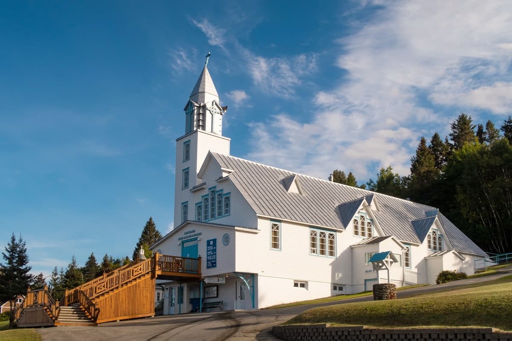
With approximately 15,000 residents, Gaspé is the largest of the communities located on the eastern part of the Gaspé Peninsula. It is full of historic sites such as the Cross of Gaspé, which is a granite cross that was built by the Canadian Government as part of the 400th anniversary of Jacques Cartier’s arrival in the region.
Gaspé’s economy is fairly diverse as it includes everything from healthcare and renewable energy production to fishing and tourism. If you’re visiting Forillon National Park and want to stay at a hotel or eat in a restaurant without having to drive too far away, Gaspé is a sure bet.
Sainte-Anne-des-Monts is a city located on the north-central coast of the Gaspé Peninsula, about 3 hours away by car from the national park. It is home to around 7,000 residents, making it one of the larger communities on the peninsula.
The town is located between the sea to the north and the towering Chic-Choc Mountains to the south, so it’s a great place to base yourself if you’re looking to spend a decent amount of time in the region. Tourism is one of the town’s biggest industries due to its proximity to Gaspésie National Park. The town is also home to a great aquarium, which is a must-visit on a rainy day.
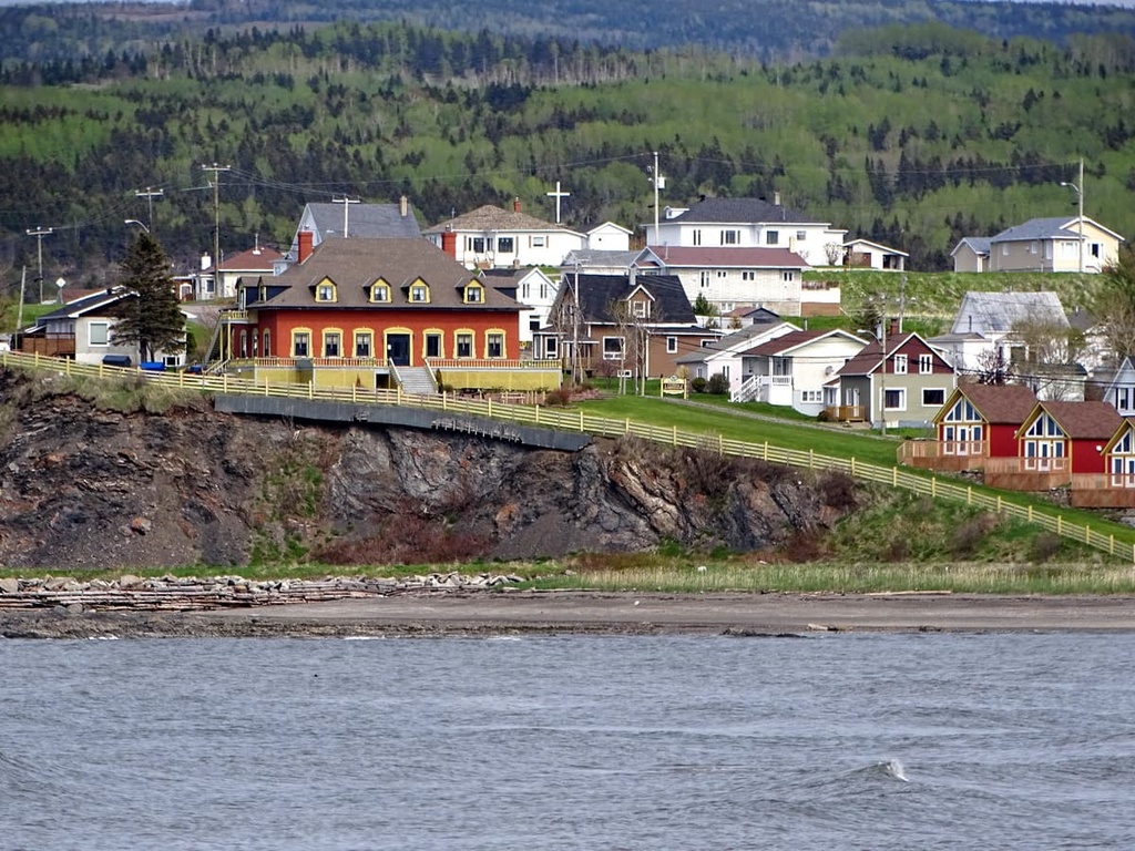
As far as transportation goes, you can get to Sainte-Anne-des-Monts, Quebec in about 5 hours from Quebec City or 2 hours from Rimouski. There is also bus service to the town from Quebec City and Montreal via Rimouski provided by Orléans Express.
Campbellton may be located in New Brunswick, but it’s actually one of the closest major cities to Forillon National Park. The city is situated along the Restigouche River in the north-central part of New Brunswick just a 4.5 drive away from the QC Route 132 that encircles the Gaspé Peninsula.
The city of Campbellton is home to around 7,000 people and its major industries are forestry, fishing, and tourism. It’s a particularly popular destination for sportfishing for Atlantic salmon and the nearby Sugarloaf Provincial Park offers alpine and Nordic skiing opportunities that are some of the best in the province.
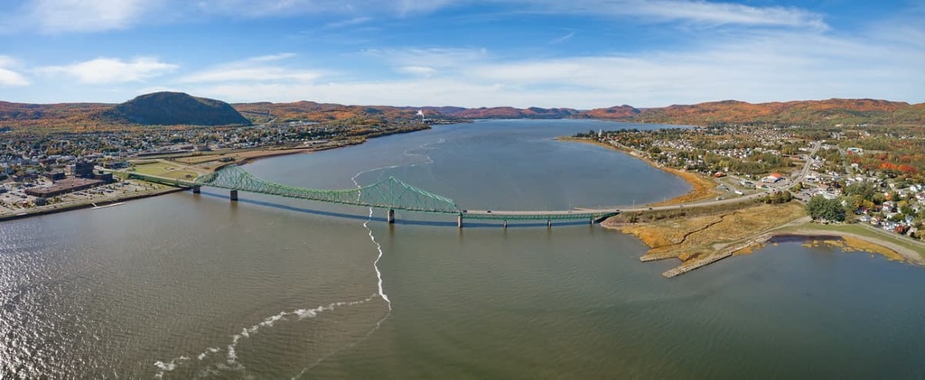
Transportation-wise, Campbellton is both easy to get to and a great hub for trips to the Gaspé Peninsula. You can get to the city in just 3 hours by road from Moncton and 4.5 hours from Saint John. Additionally, Via-Rail’s The Ocean line offers passenger train service to Campbellton from Montreal and Halifax three times a week. There’s also bus service to the city and two small regional airports located nearby.
Situated about 5 hours to the southwest of Forillon National Park, Rimouski is a city of approximately 50,000 people that serves as the gateway to the Gaspé Peninsula.
Rimouski may be a bit too far away from Forillon National Park for a day visit, but it is a good place to stay if you’re making the drive to the Gaspé Peninsula from further afield. The city’s main industries are the healthcare, shipping, transport, and tourism sectors, so it’s a bustling place with a lot to see and do.
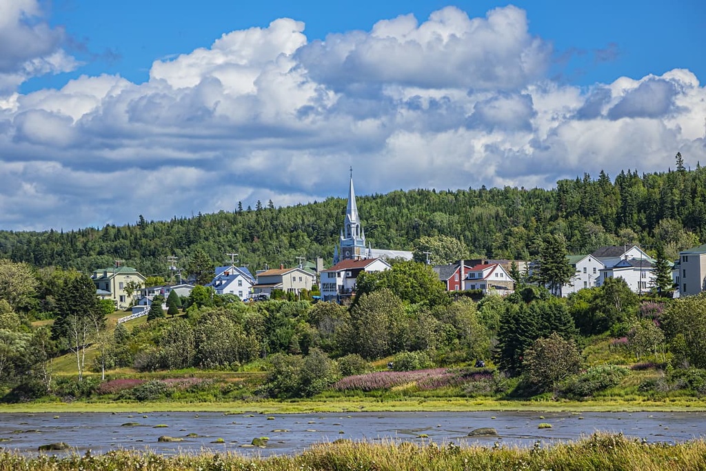
The city of Rimouski has plenty of hotels and restaurants that cater to tourists as well as plenty of attractions to check out during your visit. One of the main tourist attractions in Rimouski is the Site historique maritime de la Pointe-au-Père (Point-au-Père Maritime Historic Site), which is a maritime museum where you can take a tour of a retired submarine and check out artifacts from the wreckage of the RMS Empress of Ireland.
You can get to Rimouski by road, rail, train, bus, and even ferry. Rimouski is situated just 3.5 hours away from Quebec City, too, so it’s a nice stopping point on your way to destinations further to the east.
Last but not least, we have Quebec City, the capital and second-most populous city in the province of Quebec. While Montreal is the province’s largest city, Quebec is arguably one of its most historic as it has both a lengthy history of First Nations inhabitation and a plethora of sites from the early period of French colonization in the region.
In fact, Quebec City was the site of the colony started by Samuel de Champlain in 1608, making it one of the oldest European-established cities in North America that’s still inhabited to this day. Quebec City is also home to the only surviving fortified city walls on the continent to the north of Mexico.
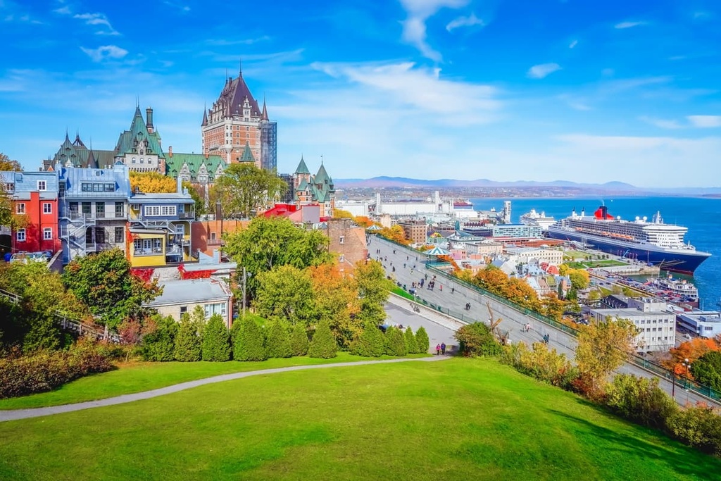
While in Quebec City, you can stroll through the old streets of Vieux-Quebec (which is a UNESCO World Heritage Site), check out the Château Frontenac, and walk through the Citadelle of Quebec. There are also many famous museums in the city, including the Musée de la civilisation (Museum of Civilization) and the Musée national des beaux-arts du Québec (National Museum of Fine Arts of Quebec).
Getting to Quebec City is fairly straightforward as there are road, rail, and air links to the city. From Quebec City, you can make the journey to Forillon National Park via car, though it will take approximately 8 hours one way, and a pit stop in Sainte-Anne-des-Monts is recommended for the trip.
Explore Parc national de Forillon with the PeakVisor 3D Map and identify its summits.


