Scan the QR code and open PeakVisor on your phone
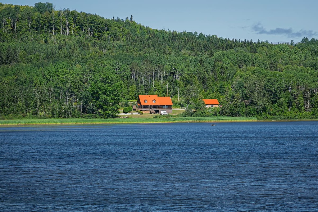
Famous for its large moose population réserve faunique de Dunière is a sizable protected area located in the central part of the Gaspé Peninsula in eastern Quebec, Canada. The wildlife reserve contains 4 named mountains, the highest and most prominent of which is Mont Pinatubo (669 m/2,195 ft).
Réserve faunique de Dunière (Dunière Wildlife Reserve) is a protected area located in the central part of the Gaspé Peninsula. It is situated in eastern Quebec to the north of the province’s border with New Brunswick. The reserve is located just to the east of the city of Causapscal in the Matapédia Regional County Municipality of the Bas-Saint-Laurent region.
Dunière gets its name from the township (canton) of Dunière, which was established in 1921. The name Dunière comes from that of Louis Dunière who was a businessman and a member of parliament in Lower Canada during the eighteenth century.
The reserve encompasses 578 sq. km (223 sq. mi) of land and it is located close to a number of other protected areas and outdoor recreation destinations. In particular, it is located just to the west of réserve faunique des Chic-Chocs and parc national de la Gaspésie.
Unlike many of its neighboring parks and reserves, Dunière is not managed by Sépaq, which is tasked with administering many of the protected natural areas in Quebec.
Rather, Dunière is managed by CGRMP (Corporation de gestion des rivières Matapédia et Patapédia/Matapédia and Patapédia Rivers Management Corporation). The CGRMP was created in the 1980s and it is also tasked with the management of the réserve faunique des Rivières-Matapédia-et-Patapédia.
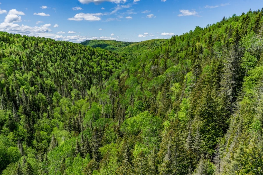
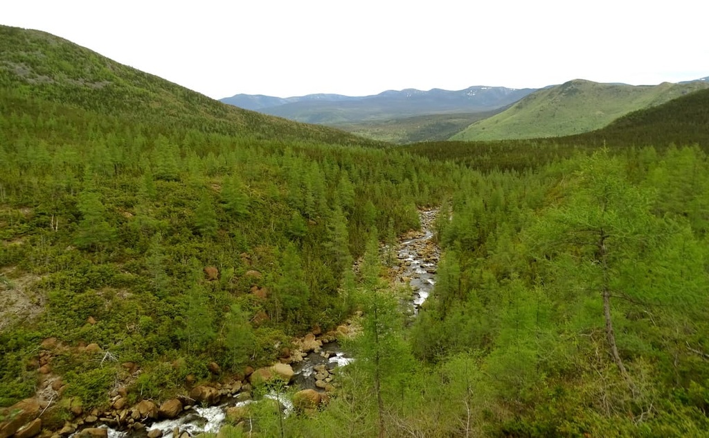
The peaks in réserve faunique de Dunière are part of the Notre Dame Mountains, which are a subrange of the Canadian Appalachians. The Notre Dame Mountains encompass a large swath of the Gaspé Peninsula and they extend as far south as the US state of Vermont.
These peaks formed as a result of numerous mountain building events, including the Taconic orogeny, which also helped form other nearby ranges like the Green Mountains. After the Taconic orogeny, a handful of other mountain building events, such as the Acadian orogeny, also helped to mold the region’s landscape into what we see today.
Within the reserve and the Gaspé Peninsula as a whole, the rocks are both sedimentary and igneous in origin. A large quantity of the region’s igneous rocks formed as a result of underwater volcanic activity, which occurred when the land that is now easter Quebec collided with an ancient volcanic island arc and with the microcontinent of Avalonia.
However, the landscape that we see in réserve faunique de Dunière today is also the result of much more recent geologic events. In particular, the region was sculpted out by the large ice sheets that covered much of Canada during the Pleistocene.
The reserve itself isn’t particularly mountainous, especially when compared to the nearby Chic-Chocs Wildlife Reserve, but it does contain 3 peaks: Mont Pinatubo, Mont de Catalans, and Mont Conique.
Réserve faunique de Dunière is a particularly biodiverse area within the Gaspé Peninsula.
Like much of the rest of the peninsula, the reserve is heavily forested and it receives a lot of precipitation all year long. Most of the forests in the reserve are home to a mix of deciduous and coniferous trees including balsam fir, white birch, and black spruce. That said, the peaks in the reserve aren’t very tall, so there is no alpine zone in Dunière.
The real ecological attraction of the reserve, however, is its large moose population. In fact, the reserve is so well-known for its moose population that the CGRMP advertises the success rate of a permitted moose hunt at nearly 100 percent.
A wide array of other species also inhabits Dunière, including black bears. But, while there is a herd of woodland caribou that lives primarily around parc national de la Gaspésie, they generally don’t venture far into the Dunière Wildlife Reserve.
The land that is now part of réserve faunique de Dunière has been home to humans for thousands of years. In particular, the reserve is located on the traditional territory of the Mi'kmaq and Maliseet First Nations.
The first people of European descent to arrive in the region were likely members of Jacques Carier’s 1534 expedition, but there’s no evidence that they traveled far inland or to what is now Dunière.
In 1694, the region was included as part of the Seigniory of Lac-Matapédia of New France. However, widespread European colonization of the region didn’t begin in earnest until the completion of the Kempt Road (chemin Kempt) in the nineteenth century, which brought many settlers to the region.
Over the succeeding decades, the land that is now the reserve changed hands many times as it had many private owners. Eventually, it became part of the estate of the Lacroix family and it was made into a wildlife reserve in 1970. The CGRMP was later given the right to manage the reserve (after a brief period of management by Sépaq), though it is still technically privately owned.
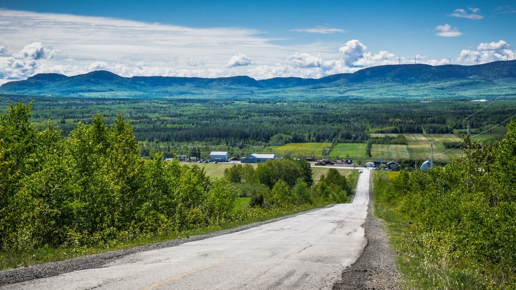
Dunière Wildlife Reserve is primarily managed as a destination for hunting. As such, there are relatively few trails available for hikers and hiking in the area generally isn’t recommended—especially during moose hunting season—due to the risk of injury.
If you’d like to hike, it’s highly recommended that you venture to one of the neighboring parks, such as réserve faunique des Chic-Chocs or parc national de la Gaspésie, instead. At both parks, you’ll find better hiking trails and amenities for a wide range of outdoor recreation destinations.
Réserve faunique de Dunière is known throughout Quebec for its hunting opportunities. In particular, the reserve is famous for its moose hunting and permits to hunt in the reserve are very competitive.
Each year, CGRMP, in consultation with the Minister of Forests (Ministère des Forêts), decides on the dates for the annual moose hunting season, which are normally held in the autumn.
Then, the lottery for moose hunting permits is held online in the early part of each year, normally in January. During the lottery, you have to apply for select dates and specific hunting packages, most of which are camping-based, and all of which incur a per-group fee.
The winners of the lottery then get a short period of time to confirm their reservation. After the lottery winners make their reservations, CGRMP allows people who didn’t win to reserve any available spaces for the moose hunting season.
If you have any questions about the lottery process or the hunting regulations in the reserve, contact the CGRMP for more information.
There are a number of accommodation options available for visitors to réserve faunique de Dunière depending on which sector you’re visiting during your trip.
In most of the sectors, you can find camping areas, however, the reserve doesn’t offer many amenities at its campsites.
Anyone looking to spend the night in the reserve should come prepared with a tent and all of the food and equipment they’ll need to stay comfortable. That said, there is a bathroom and shower house available at the entrance to Dunière near l’Accueil Lacroix.
For visitors that prefer more luxurious accommodations, you can reserve a package deal with the park that gets you a comfortable lodge in nearby Causapscal. Although the city of Causapscal is located about 40 km (25 mi) from the reserve, this package deal comes with transport to the reserve as well as a hunting guide for your adventures.
You can reserve your overnight accommodations with CGRMP when you receive your hunting permits.
Looking for a place to stay near réserve faunique de Dunière? Here are some of the best cities and towns to check out in the region:
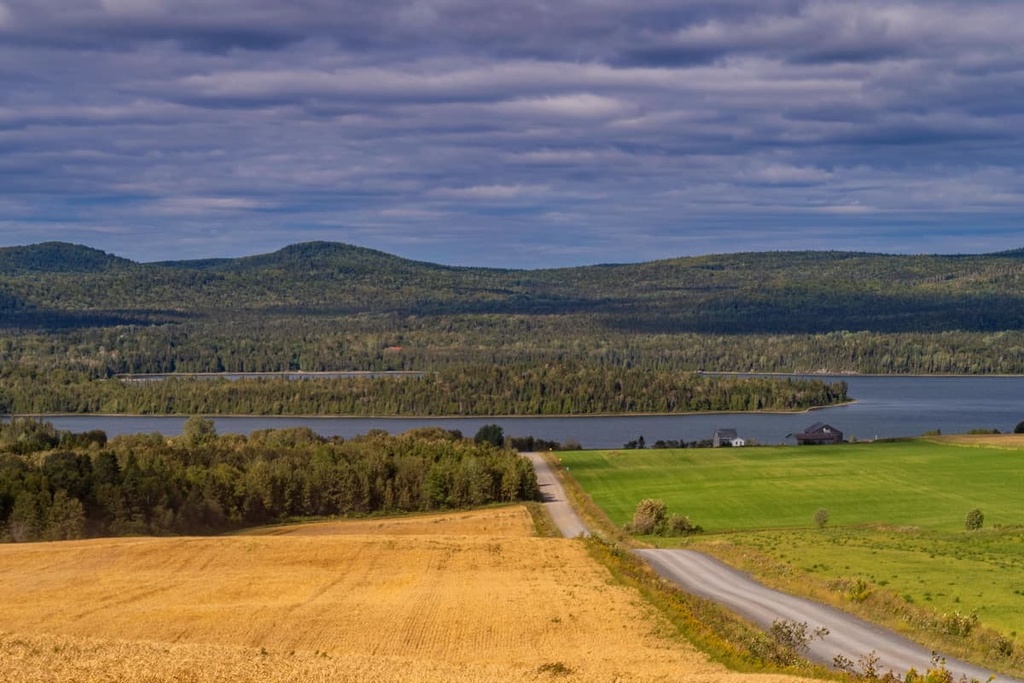
Causapscal is a city of approximately 2,500 people that’s located just to the west of the wildlife reserve. It is situated at the confluence of the Causapscal and the Matapédia rivers along Quebec Route 132.
Although Causapscal is a relatively small city, it is one of the major economic centers in the inland part of the Gaspé Peninsula. Most of the city’s economy is focused on agriculture, forestry, and tourism.
Causapscal is the main access point to the reserve, so most visitors to Dunière stop by the city on their way to the wilderness. The city is easily accessible by road and it’s also located along The Ocean line of Via Rail between Montreal and Halifax.
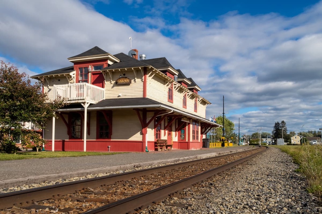
Amqui is a town of approximately 6,500 people that’s located to the northwest of the reserve, just to the south of Lac Matapédia. It is also located along Quebec Route 132 and Route 195. The town is also serviced by Via Rail’s The Ocean train line.
When compared to Causapscal, Amqui is arguably a more popular tourist destination due to its proximity to Lac Matapédia. The city’s economy is primarily tourism-based as many people come to the region to swim and fish during the summer months. Amqui also has great hiking and mountain biking opportunities as well as a small ski area called Val-d’Irène.
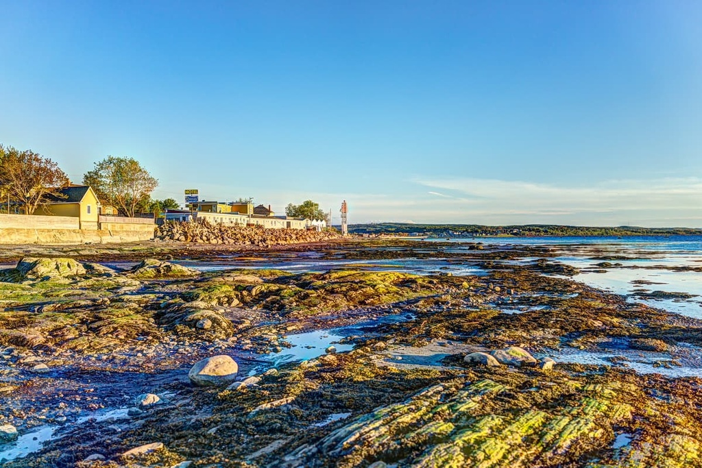
The largest city in the Bas-Saint-Laurent region, Rimouski is a community of some 50,000 people that’s situated to the northwest of the reserve. Rimouski is located at the mouth of the Rimouski River along the coast of the Saint Lawrence.
Nowadays, Rimouski has a diverse economy that includes everything from maritime transport to healthcare and sports. Rimouski is a tourist destination in its own right, thanks to its stunning views of the Saint Lawrence and its rich maritime history. The city is easy to get to by road or rail and it has great connections to the airport at nearby Quebec City.