Scan the QR code and open PeakVisor on your phone
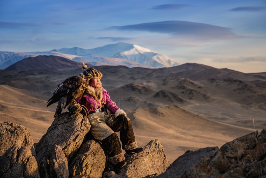
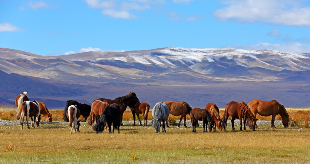
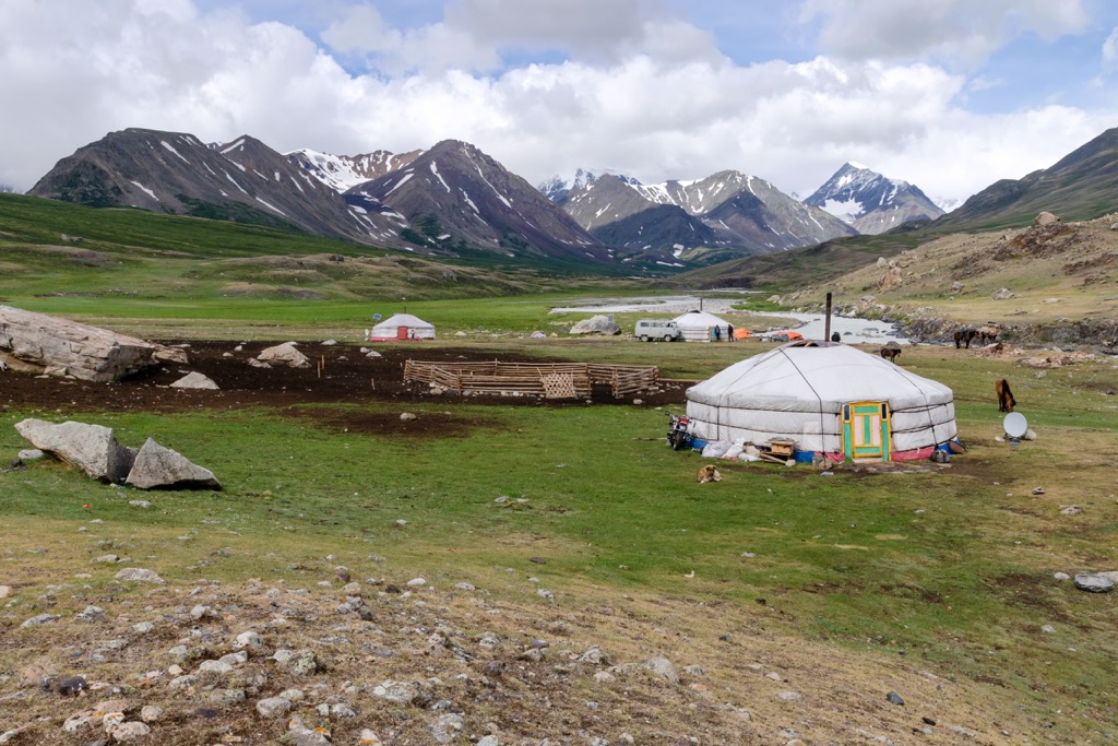
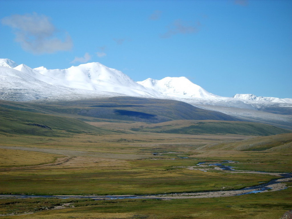
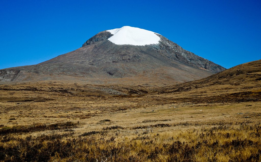
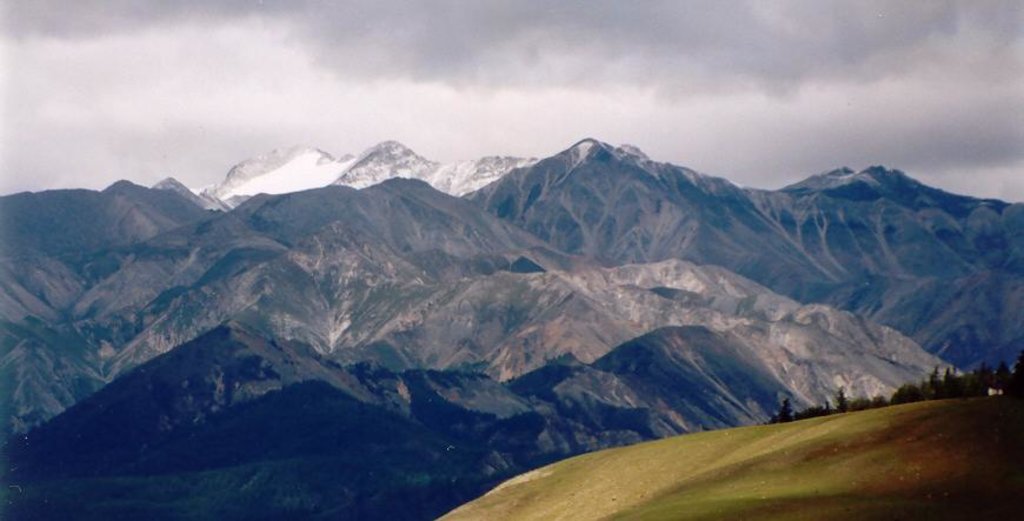
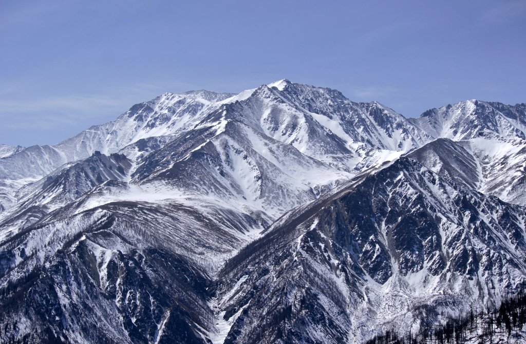
Mongolia is a vast country in East Asia, located between southern Siberia in Russia and northern China. It also borders Kazakhstan to the west at the convergence of all four of these countries, which is also called the "Center of Asia". The main feature of Mongolia mountains is the Altai mountain system, partly located in the west of the country as well. Most of Mongolia, however, is occupied by the steppes and partly by the Gobi Desert, one of the largest on earth. Not least of all, the country is known for its indigenous nomadic population, who, like centuries ago, live in yurts in the middle of the steppes. There are 1928 named mountains in Mongolia. Khüiten Peak (4,374 m / 14,350 ft) is the highest point. The most prominent mountain is Jargalant Khairkhan (3,796 m / 12,454 ft).