
App & Website Updates
PeakVisor PRO Web Subscription
02 October 2026
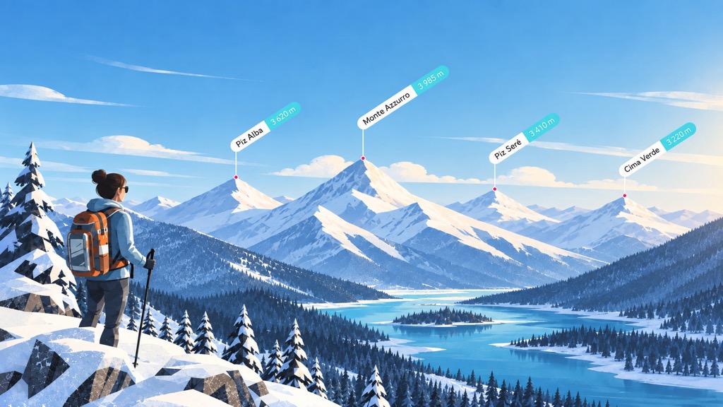
One PeakVisor PRO subscription for iOS, Android and the web. Subscribe on our website and sign in with the same PeakVisor account on every device.
Read more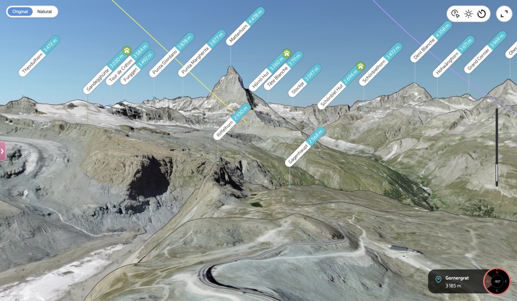
Panorama 3D Now Opens About Three Times Faster
30 September 2026
Panorama 3D now opens about three times faster, uses less image data and makes switching between summits quicker. Photo mountain identification is faster, too.
Read more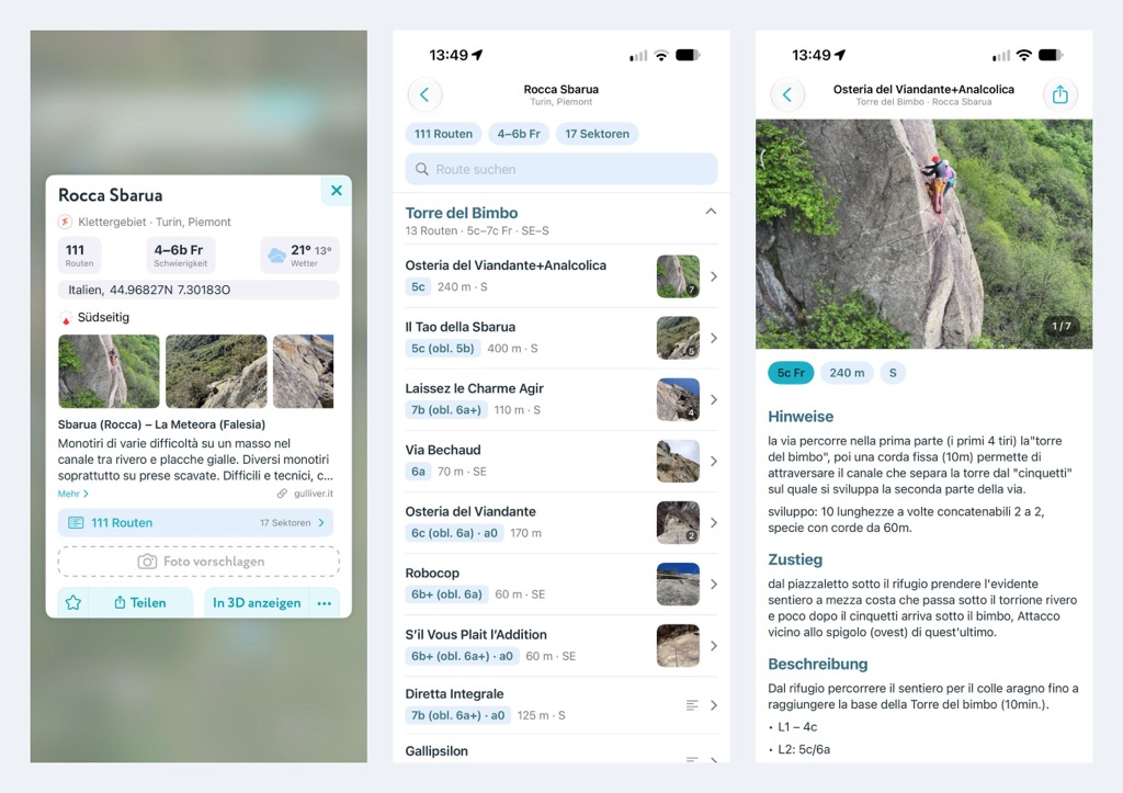
Explore Climbing Sectors and Routes in PeakVisor
25 September 2026
Browse climbing sectors and routes in PeakVisor, compare grades and lengths, and check photos and route descriptions where available before choosing your next climb.
Read more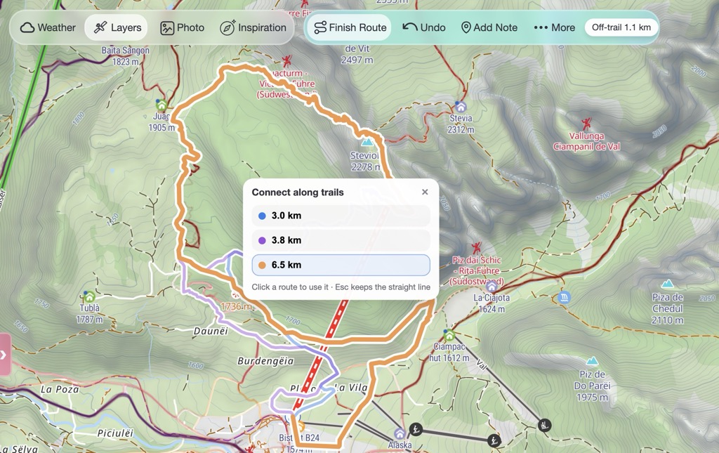
Plan a Mountain Route in a Few Clicks
25 September 2026
Start with two points on the map, compare suggested routes and drag points to a neighbouring trail to adjust your route in PeakVisor.
Read more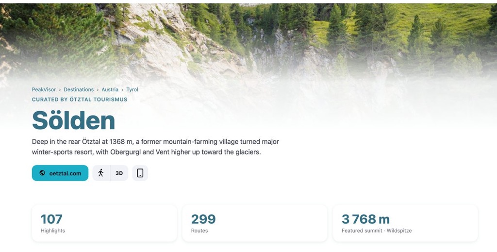
Destination Pages: Local Guides for 842 Places in Austria and Italy
11 September 2026
842 places across Austria and Italy now have a PeakVisor page built from what the local tourist board publishes: routes drawn on our maps, highlights, huts and lifts, and a way into the 3D terrain.
Read more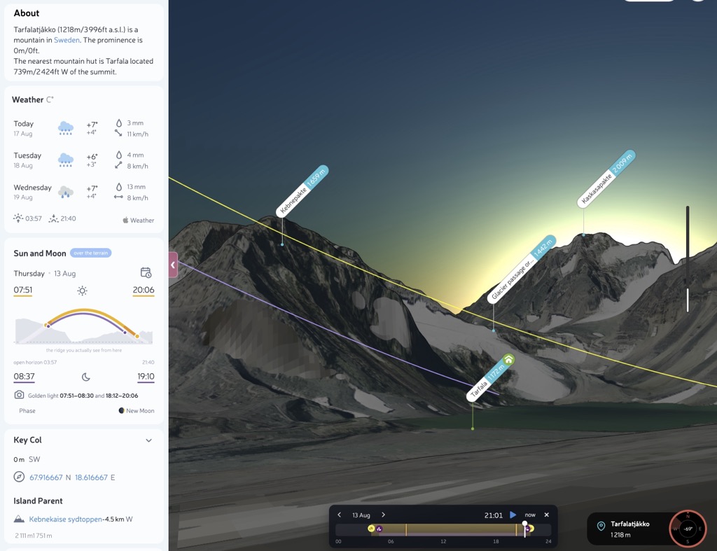
Choose a Date and Watch the Sun and Moon Move Across the Mountains
17 August 2026
Choose any date, follow the Sun and Moon through the day, and see when the real mountain skyline brings direct light to your location or takes it away.
Read more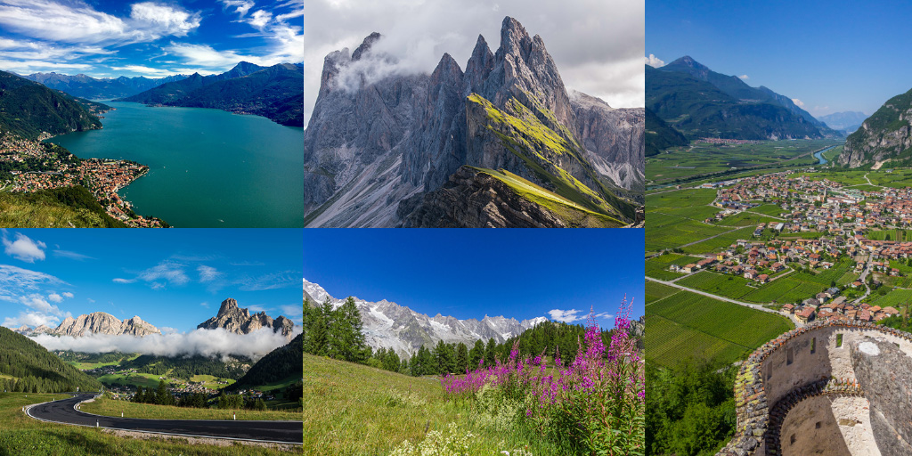
We’re Teaching PeakVisor to Identify Mountains in Video
13 August 2026
PeakVisor is testing mountain identification for geotagged videos. Watch the demo and send us a mountain video to help prepare the September release.
Read more
Track Poster: Turn Any Hike into a Poster Worth Sharing
19 June 2026
Track Poster turns any of your recorded hikes into a designed, share-ready poster image. Pick a format, a background, a layout, and the stats you want to show — the whole thing takes about thirty seconds.
Read more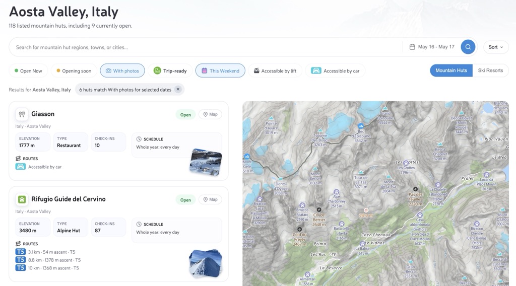
Mountain Huts, Finally Mapped for Real Trips
10 May 2026
Explore regional mountain hut lists and dedicated hut pages with schedules, access routes, photos, weather, check-ins, and PeakVisor map and 3D context.
Read more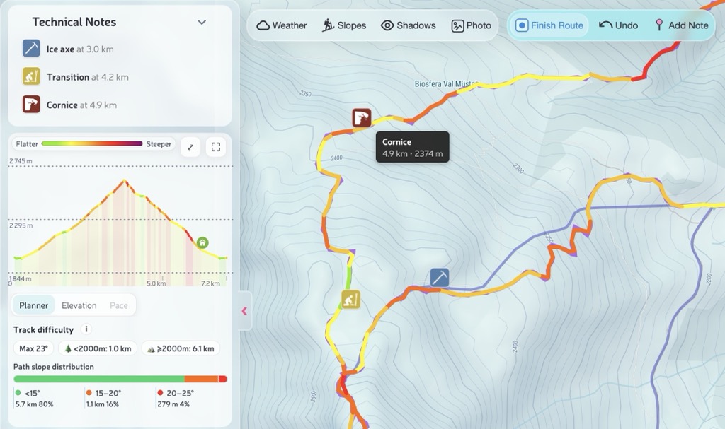
Technical Notes on Routes: Mark What Matters Before You Go
09 April 2026
Pin hazards, gear points, and logistics directly on your route. Built for guides and planners who need every detail on the map.
Read more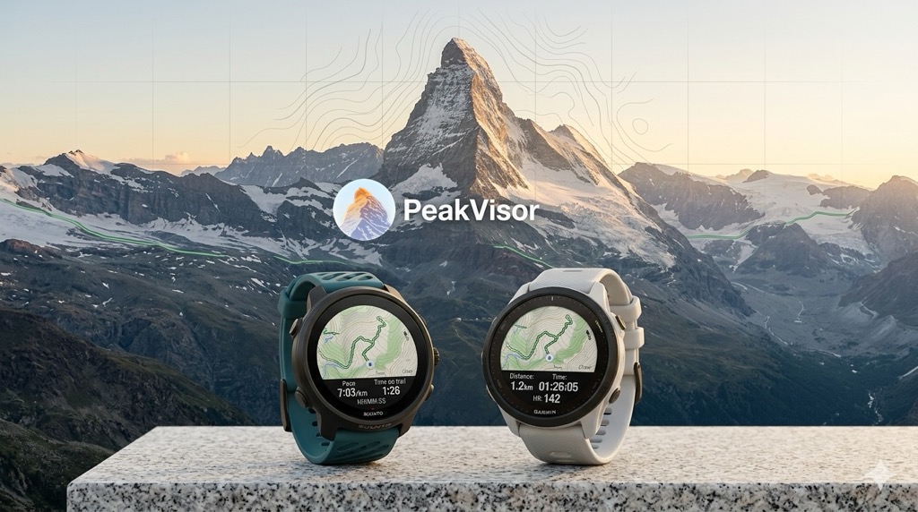
From Route Planner to Your Watch: Send Routes to Garmin and Suunto
30 March 2026
Plan a route in PeakVisor, make it public, and send it directly to Garmin Courses or Suunto Routes from the Share dialog.
Read more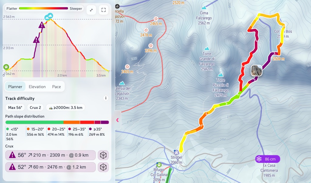
Next-Gen Route Planner and Track Insights
23 February 2026
Plan with snap-to-skitours, import tracks by drag-and-drop, and analyze every line with new Planner, Elevation, and Pace views.
Read more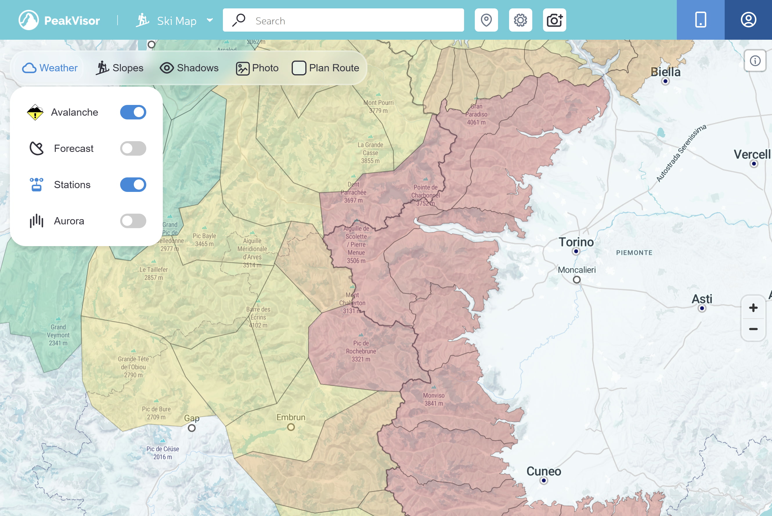
Avalanche bulletins are now on the map (and yes, they still scare us)
16 February 2026
A practical guide to the new avalanche bulletin layer in PeakVisor: how to enable it, how to read icons and elevation bands, what the problem symbols mean, and a pro tip for opening a micro‑region directly via a link.
Read more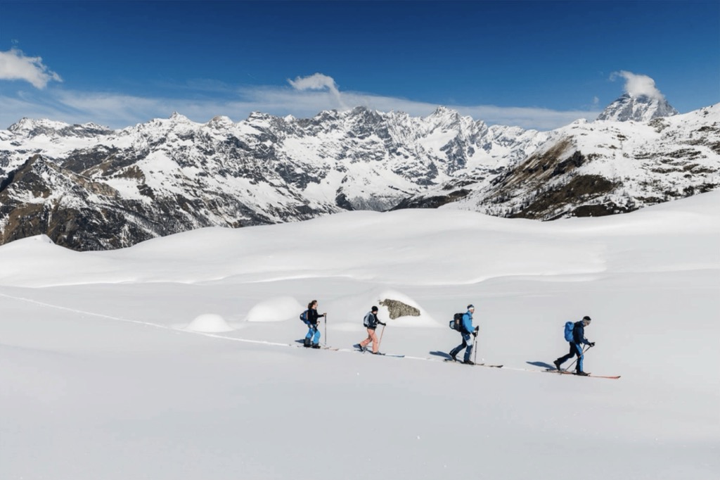
PeakVisor Professional Alpine Guides Program
15 October 2024
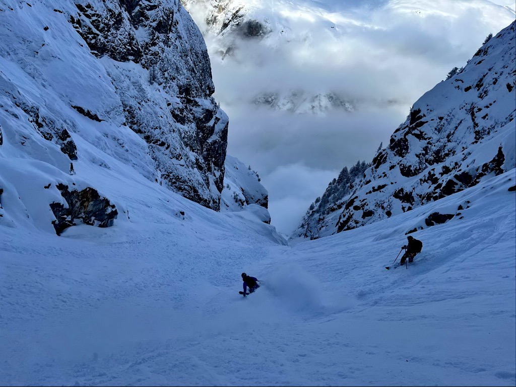
PeakVisor is an ultimate digital solution created by mountain lovers, for mountain lovers
Read more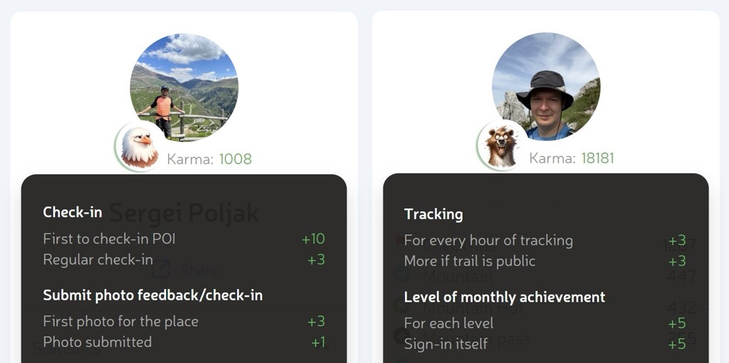
Instant Karmas Gonna Get You!
01 August 2024
Trail “Karma” is the New Outdoor Achievement Score
Read more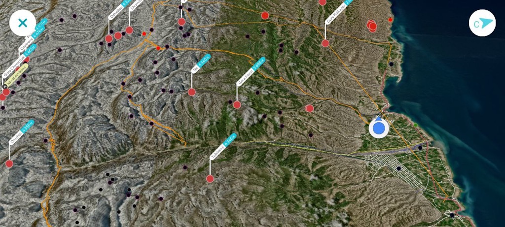
Waypoints Now Featuring KML/KMZ File Imports
02 August 2023
PeakVisor has made it possible to import KML/KMZ files onto the app. Continue your journey with all your favorite spots on our 3D maps!
Read more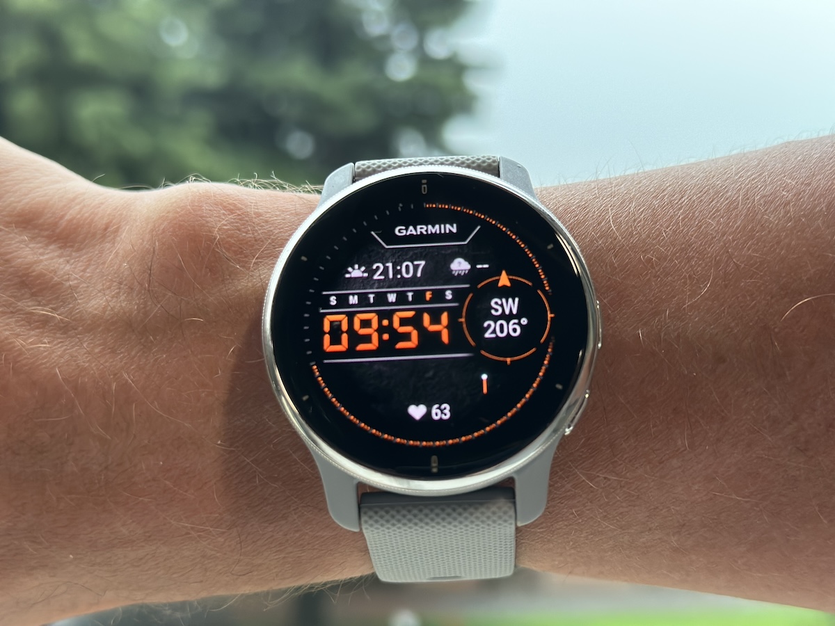
Garmin GPS Integration
24 July 2023
While we started as a Peak Identification app, we’ve expanded into a full-service navigation tool you can rely on during all your mountain adventures. We’re excited to announce Garmin GPS Integration, the logical next step in pursuing seamless activity tracking.
Read more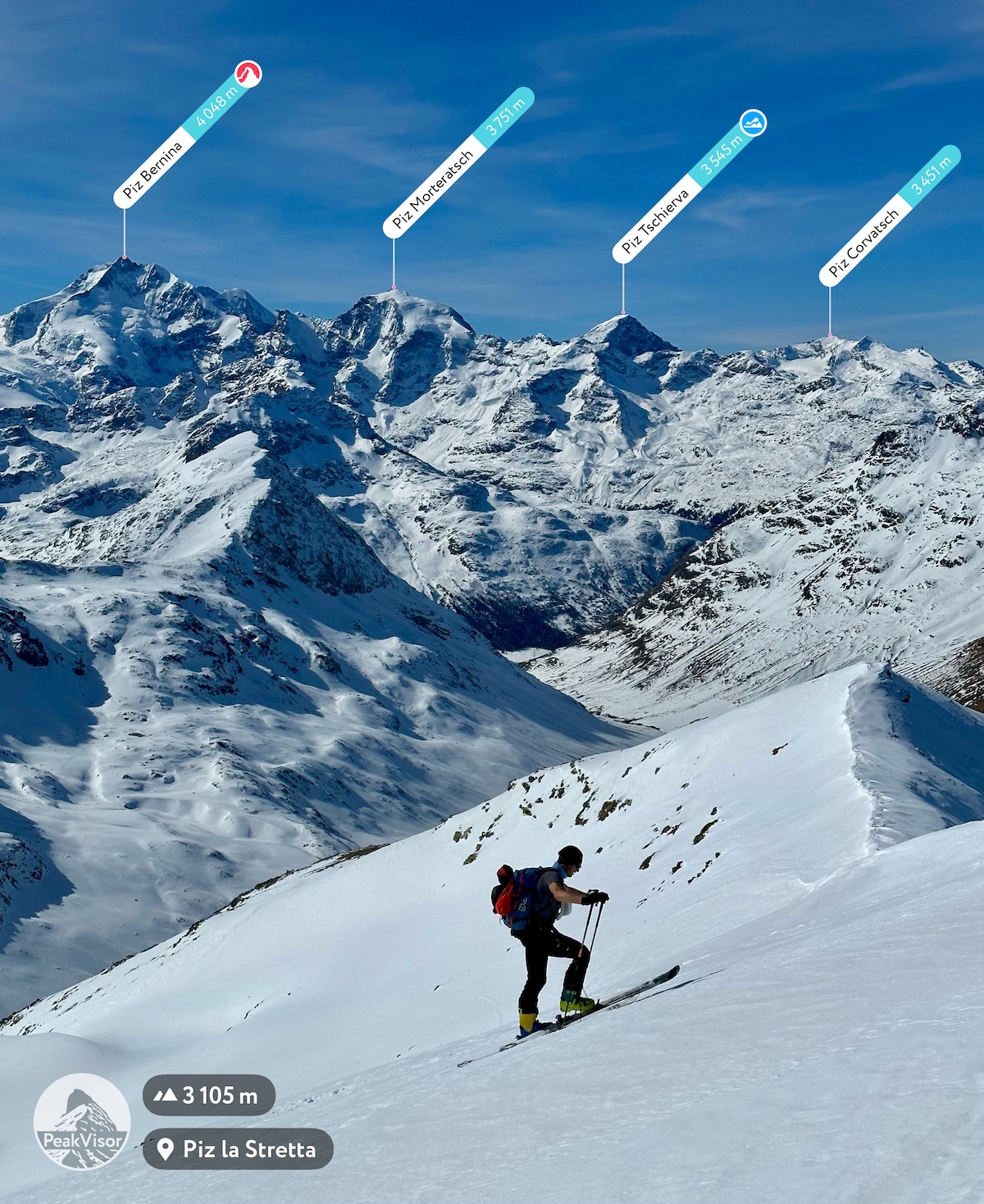
Ski Touring Map
06 March 2023
Ski touring is the oldest and one of the most beloved winter sports. To hunt and travel in deep snow, ancient peoples in Europe and Asia began attaching animal furs to the bottom of skis 10,000 years ago. In modern times, wandering through the enchanted winter landscape, climbing majestic summits with breathtaking panoramas, and skiing to the valley below are some of the most enriching experiences a person can have. What more could we dream about on a perfect winter day? (Well, more snow in the Alps would be great…)
Read more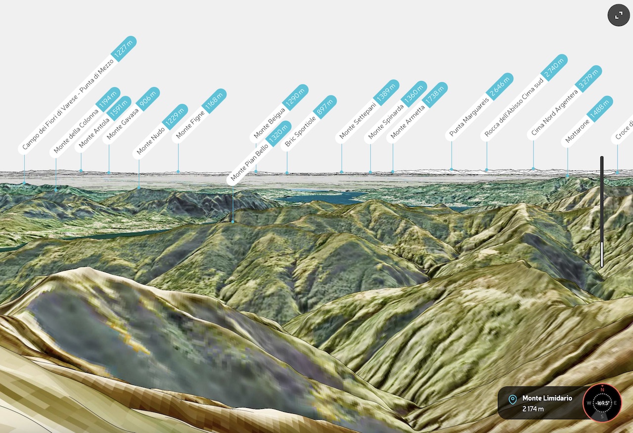
Panorama Embed API
29 January 2022
Take Your Website to New Heights With Peakvisor’s Panorama Embed API
Read more
PeakVisor Lifetime PRO
07 December 2021
A lifetime PeakVisor Pro subscription was one of the most popular requests that we’ve received to date. In response, we’re now introducing the Lifetime PRO purchase option.
Read more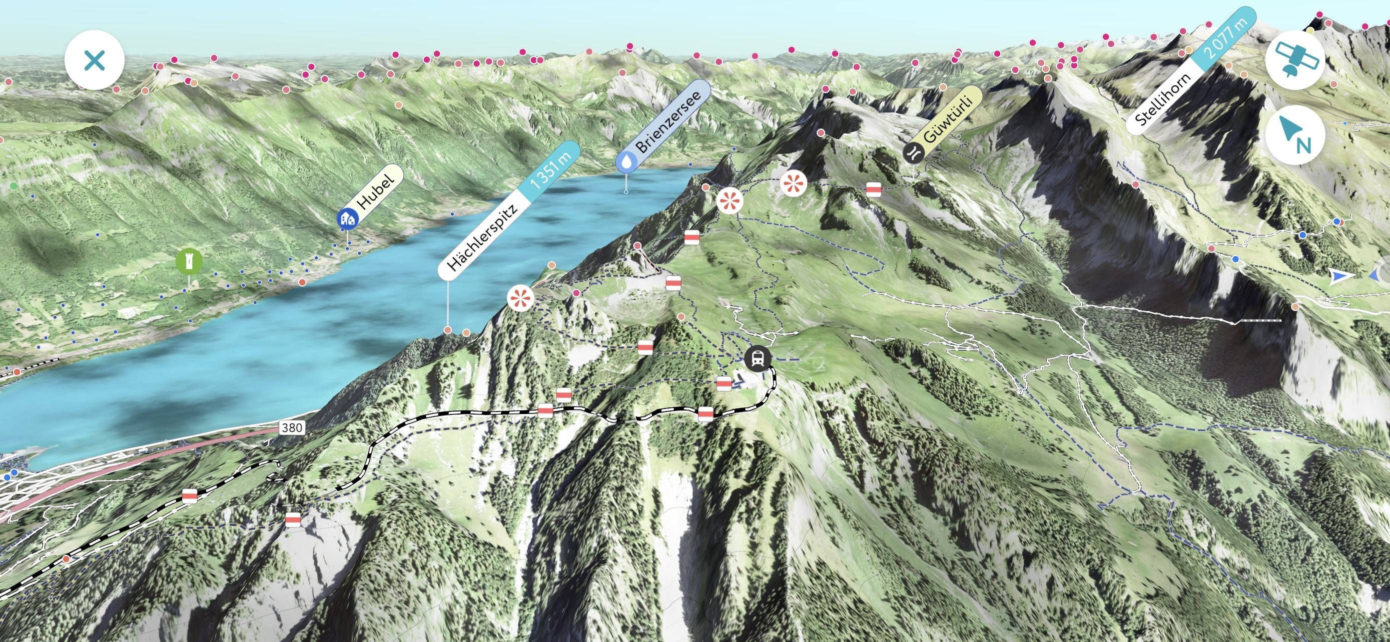
PeakVisor 4.0 is here
25 November 2021
The 5th anniversary version of PeakVisor features a brand new graphics engine that’s capable of rendering satellite imagery of unmatched quality. You can easily identify everything from cars to trees while exploring an area in 3D for your next adventure.
Read more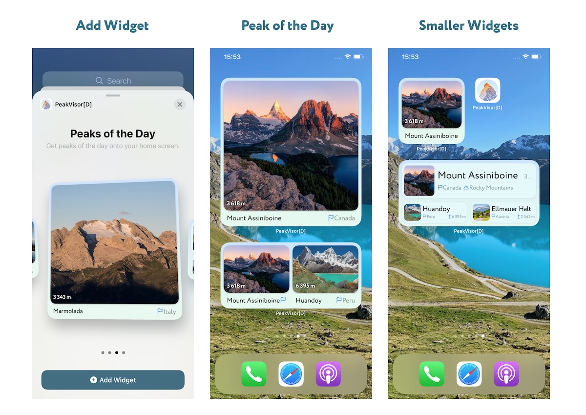
Mountain Widget for iPhone
04 October 2020
Widgets are one of the most fascinating features of the new iOS 14 introduced by Apple in 2020. PeakVisor presents a mountain widget! Peak of the Day.
Read more
Travel Logbook
15 September 2020
What is outdoor experience for you? We bet most answers would be to plan thoroughly and then just do it. Simple as that, you prepare for every hike or climb, you study the itinerary and you get that overwhelming feeling of completing a tough job. Yet, how about one more nonetheless important stage? We take it for granted, but keeping the precious memories of our achievements and failures is also essential. Most people keep those memorabilia just stashed in the phones as a bunch of unsorted photos. But that’s hardly a good approach.
Read more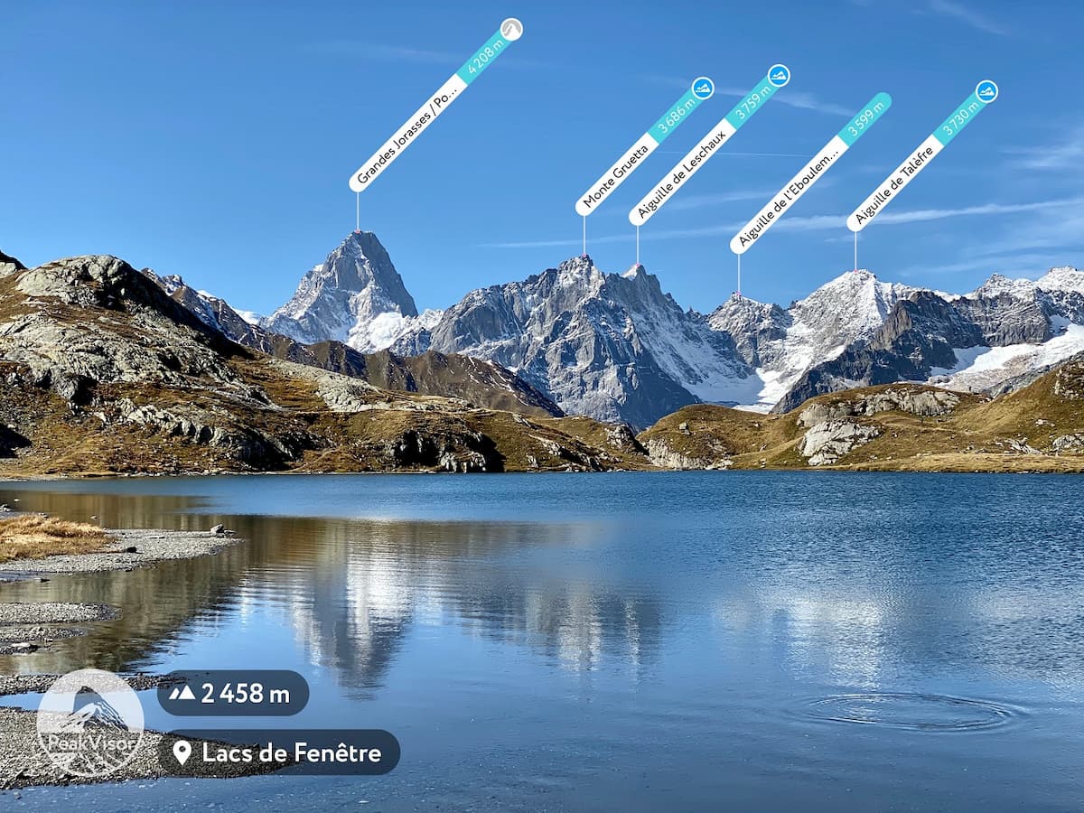
Trailhead Finder
04 August 2020
What can be more crucial for the success of your outdoor adventures than finding a convenient trailhead? Oftentimes, a mistakenly chosen trailhead or being forced to use another parking lot at the last minute causes us huge problems. In order to fight these inconveniences and further enrich the hiking experience of the PeakVisor users, we introduce the “Trailhead Finder” feature. Now, for every mountain, lake, viewpoint we will show nearby parking lots and cable car stations so that nothing can spoil your trip.
Read more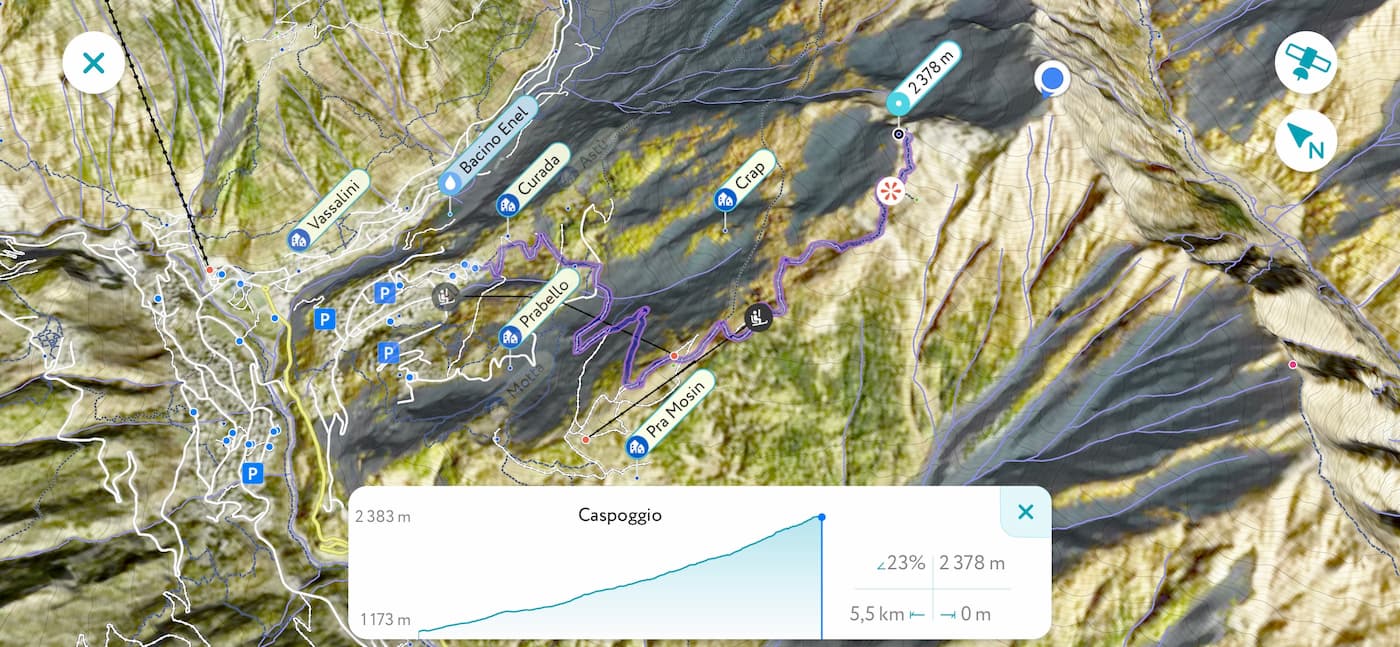
GPS Tracking
28 May 2020
GPS Tracking is the most recent addition to the PeakVisor toolkit. This feature allows you to track hikes while measuring duration, distance, pace, and elevation gain along the way. Once you’ve conquered the desired destination, you can share and explore any of your tracks in 3D maps.
Read more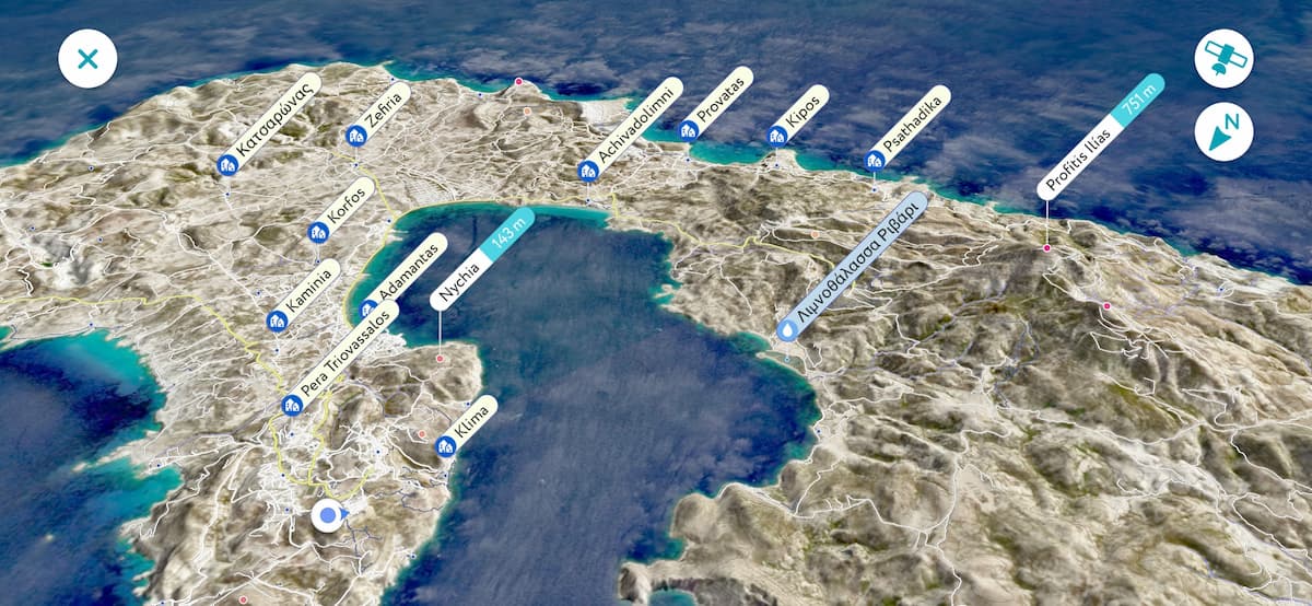
Hiking Wishlist and Custom Waypoints
17 April 2020
No matter how detailed the map is chances are that in order to reflect all the aspects of outdoor adventure some tweaks are needed anyway. One of the most requested features was to add custom locations into the 3D map and highlight particularly important features. Those might be landing options for hang gliders, planned camping sites for backpackers, important reference points for trekkers, or spectacular photo spots for photographers. Everyone needs a personalized map of the outdoor places we love. Now you have it!
Read more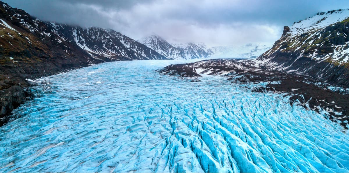
Glaciers
22 January 2020
A glacier is a huge mass of ice formed as a result of eons of snow accumulation. Snow gets transformed into ice under pressure or by melting and refreezing. Such processes form powerful flows, domes, and floating slabs.
Read more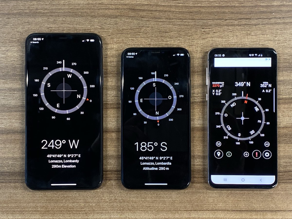
Most Precise Compass
21 December 2019
Since ancient times people have been identifying their location and direction by some landmarks supplemented with the observation of the position of celestial bodies. The very first compass was invented in China more than 2000 years ago. Interestingly, it wasn’t used for navigation back then, but to harmonize dwellings according to feng shui principles. Nowadays, almost every mobile phone has a compass that lets you easily identify the direction in an instant. But how precise it is?
Read more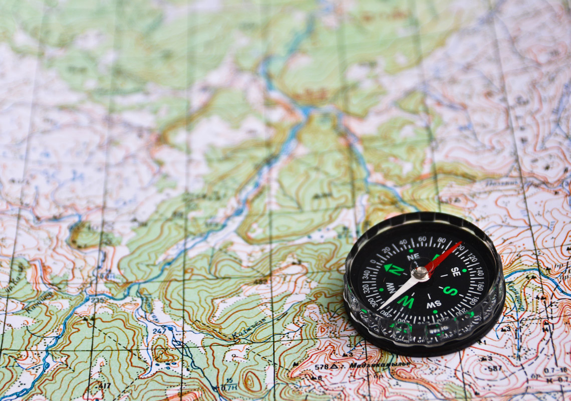
Topography Data Services
07 December 2019
PeakVisor mobile app and the website require a wide range of topography data to work and satisfy all the needs of outdoors enthusiasts. We spent an enormous amount of time crafting 3D Maps and Augmented Reality Peaks Identification on mobile phones with their limited resources. But even more time is dedicated to processing the heaps of data from various sources. Our data pipeline contains terabytes of Digital Elevation Models (DEMs), millions of geographic points (including more than a million named peaks), worldwide satellite imagery for 3D maps, and a great many processing steps.
Read more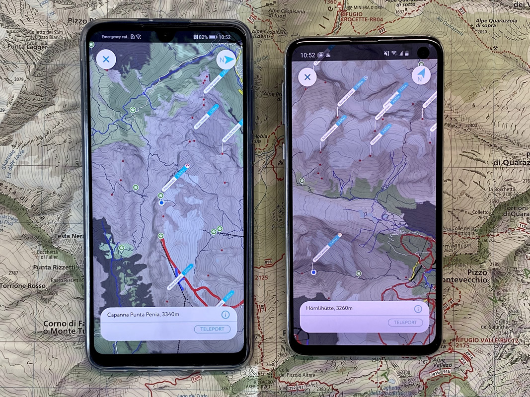
3D Maps for Android
05 December 2019
Topographic maps for hiking and skiing in the mountains have to be 3D. Realistic terrain modelling allows faster and easier understanding of the landscape, its complexities and pitfalls for a wider range of outdoor enthusiasts. We are proud to present PeakVisor 3D maps available on the world's most popular mobile platform!
Read more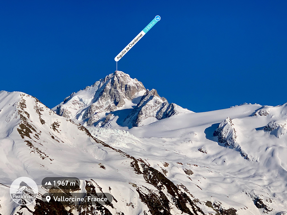
PeakVisor App is Free
03 June 2019
Effective today the PeakVisor app becomes free. No need to spend a lot of time researching whether the app is a good fit for your outdoor adventures. Everyone can download the app and try it without paying anything.
Read more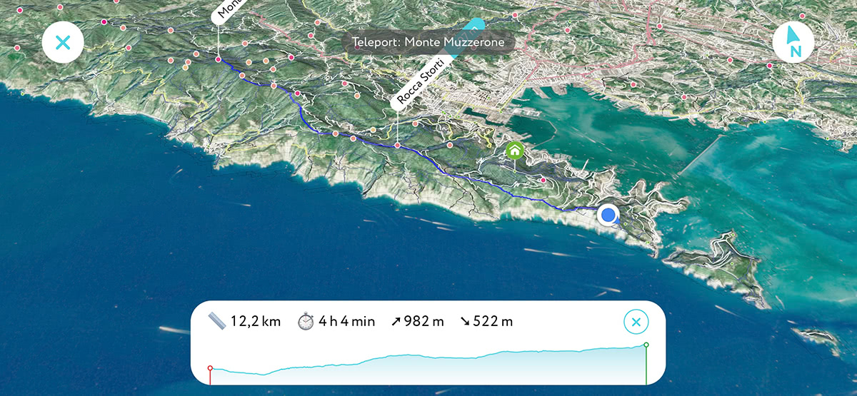
Satellite 3D Maps
12 April 2019
Realism and convenience, that is what people are looking for in 3D maps. Hence, creating a larger-than-life and most user-friendly representation of 3D maps has been paramount for PeakVisor since the first time we added maps into the mix. The initial rough version of 3D maps was soon improved by adding the terrain types, which allows distinguishing bare rock slopes from forests, grass, residential, and many other land cover types. Even though it was a big step forward, it wasn’t enough. Today, we introduce a Satellite layer in 3D maps.
Read more
Ski Runs and Mountain Lifts
08 January 2019
For a long while, PeakVisor has been a definitive tool to identify mountains and get detailed information about the peaks. The summer 2018 PeakVisor got state-of-the-art 3D maps with hiking trails and routing capabilities. Now, in winter 2019 when most of you are skiing we bring the Winter Mode into the app. Worldwide ski runs and mountain lifts are available to all PeakVisor users in Augmented Reality and 3D maps. No matter what your preferred way to spend time in the mountains is and what time of the year, you can always tap into the PeakVisor world of mountains to make your outdoor adventures more joyful and informative.
Read more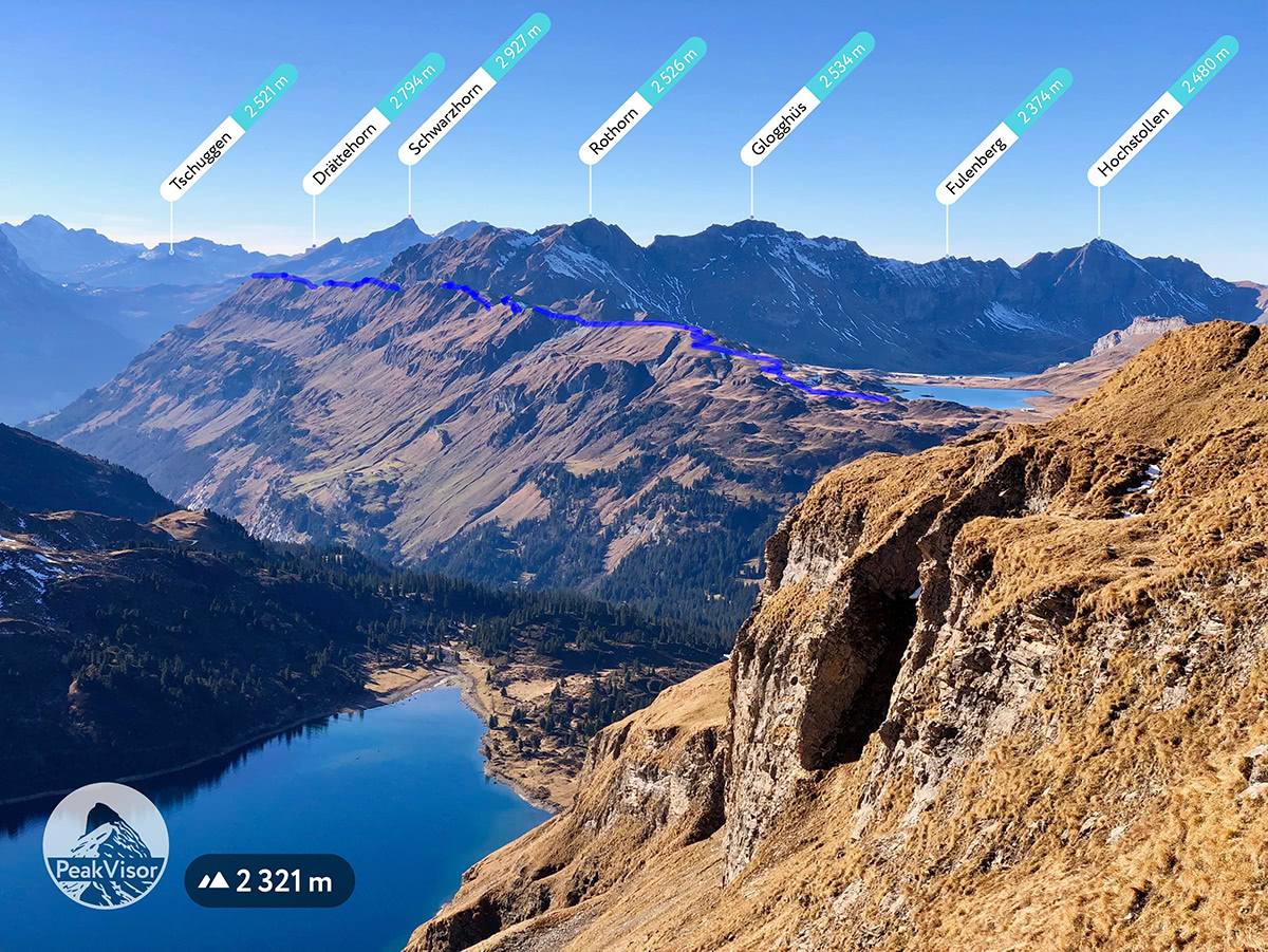
See the Trails
23 November 2018
Oftentimes standing on the edge of a cliff, a mountaintop, or a panoramic viewpoint you wonder of the endless hiking possibilities around. Wouldn’t it be nice to have a superpower to visualise a path blended into the epic landscape? It might be the trail you are going to undertake later or the one you just did. The new version of PeakVisor using the Augmented Reality shows hiking trails not only in the 3D map but in your camera view as well.
Read more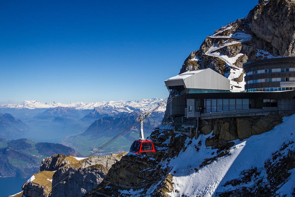
World Mountain Lifts
24 September 2018
Every time being in the mountains, we are thinking about how to enhance our outdoor experience, which data can help us have even better time. The information about available mountain lifts to help outdoor enthusiasts get away from mobile network coverage and get even deeper into an amazing world of nature beauty is one of the options.
Read more
Viewpoints and Parkings in 3D Map
27 August 2018
The latest version of PeakVisor for iOS features parking areas and viewpoints. These two types of map features are exceptionally important for planning and navigation.
Read more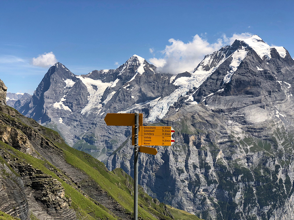
Hiking Route Planner
16 August 2018
These navigation and hiking route planning questions kept us very busy in the labs. But today we are proud to present availability of hiking route planning in PeakVisor 3D maps!
Read more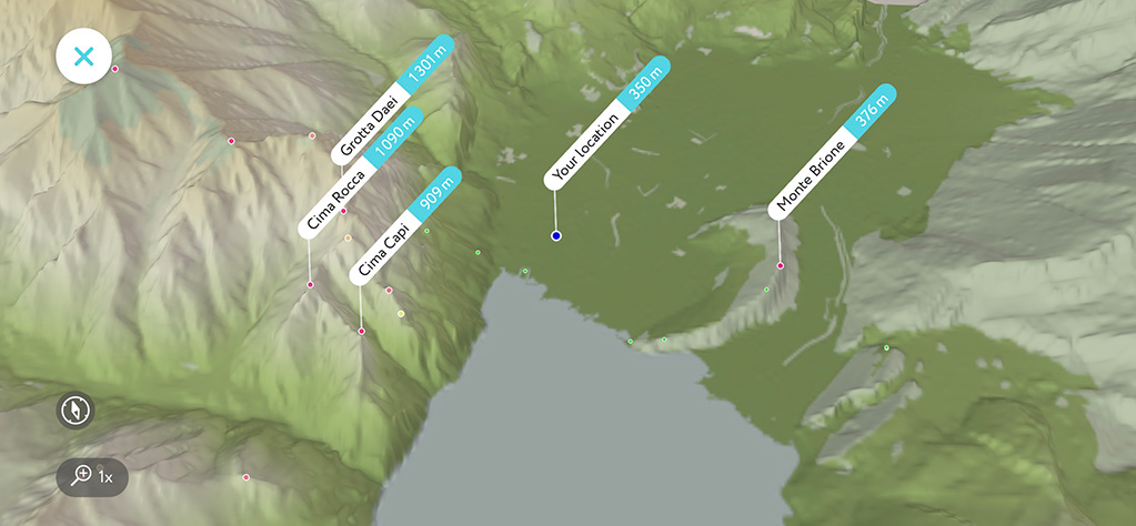
3D Maps are Getting Real
15 June 2018
This week we are rolling out a new label positioning algorithm. It allows us to embed labels into 3D maps! Now you could see not only your position in 3D but all the mountain names around you. That might be especially useful while approaching a summit. It’s always handy to see a target and have a bird-eye view.
Read more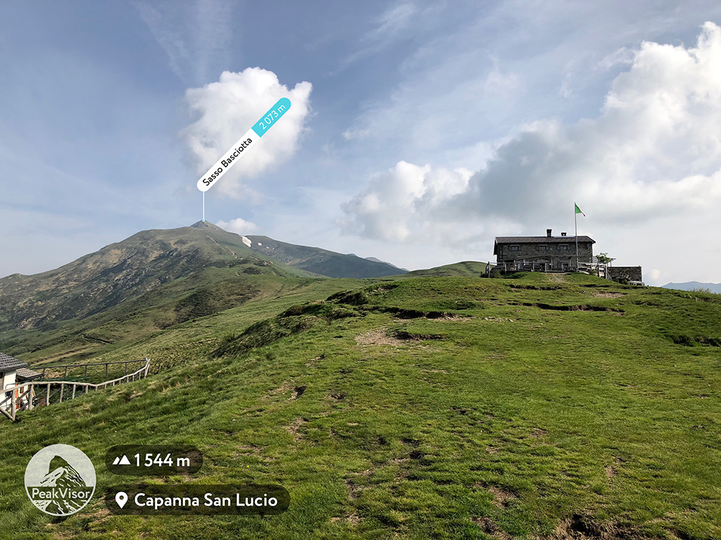
Administrative Boundaries in the Mountains
30 May 2018
Just like rivers, mountains are often natural boundaries between countries and administrative regions. In the mountains more often than not state borders go along mountain ridges and summits. All over the world you could notice centuries old border stones which were used for indicated a border, usually with a year inscribed. We find something especially thrilling walking the ridges and state borders at the same time. What could be more exciting than having your left leg in Switzerland and the right leg in Italy?!
Read more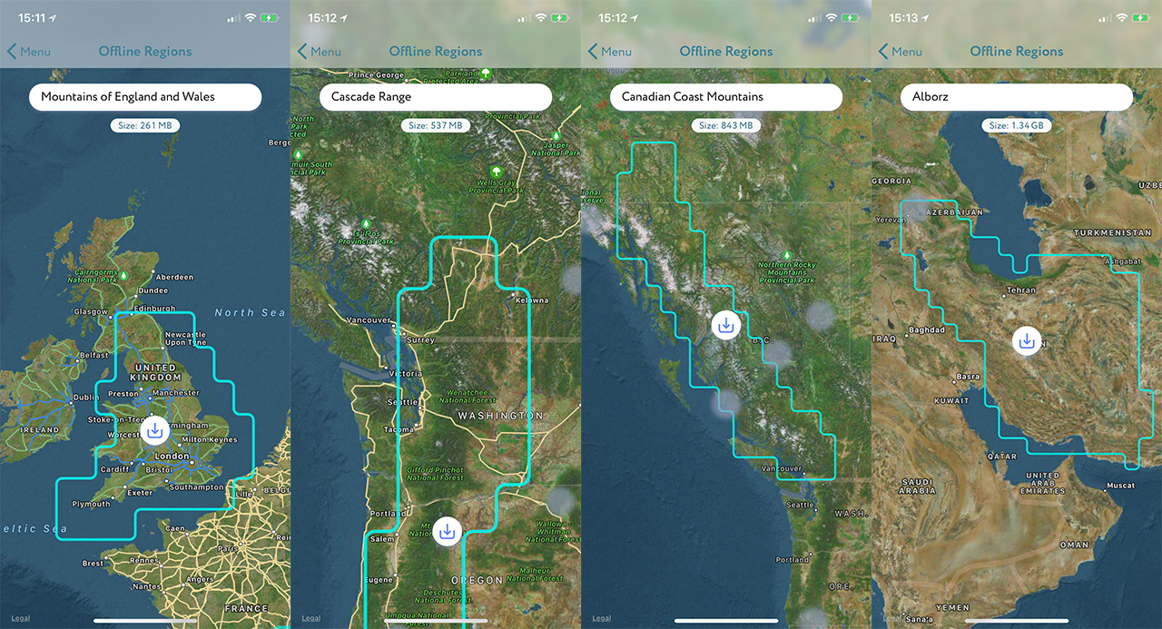
Manage Offline 3D Maps
28 May 2018
The farther we get from the civilization the more rewarding adventure usually is. Luckily, you don’t have to travel far to get away from the hustle even in one of the most developed Alpine regions. In our experience, the weaker cellular signal, the prettier scenery is. Here we will tell you how to get your 3D maps ready for getting off the beaten track and still benefiting from the immersive knowledge of the PeakVisor mobile app.
Read more
Hiking Trails in 3D
24 May 2018
It takes some time and effort to plan an exciting hiking adventure. Flat maps might be misleading in terms of the big input required to estimate the complexity of the hike, but PeakVisor Mountain Explorer comes in handy when it gets to planning any mountain endeavour.
Read more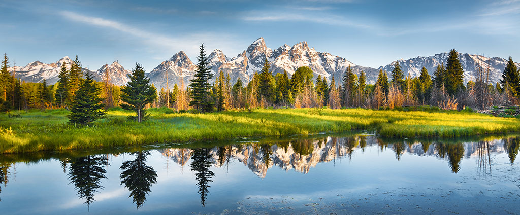
Mountain Encyclopaedia
02 May 2018
The Earth's mountains having a proper name are over one million now, so it is really handy to have a pocket encyclopaedia devoted to the landscape defining features.
Read more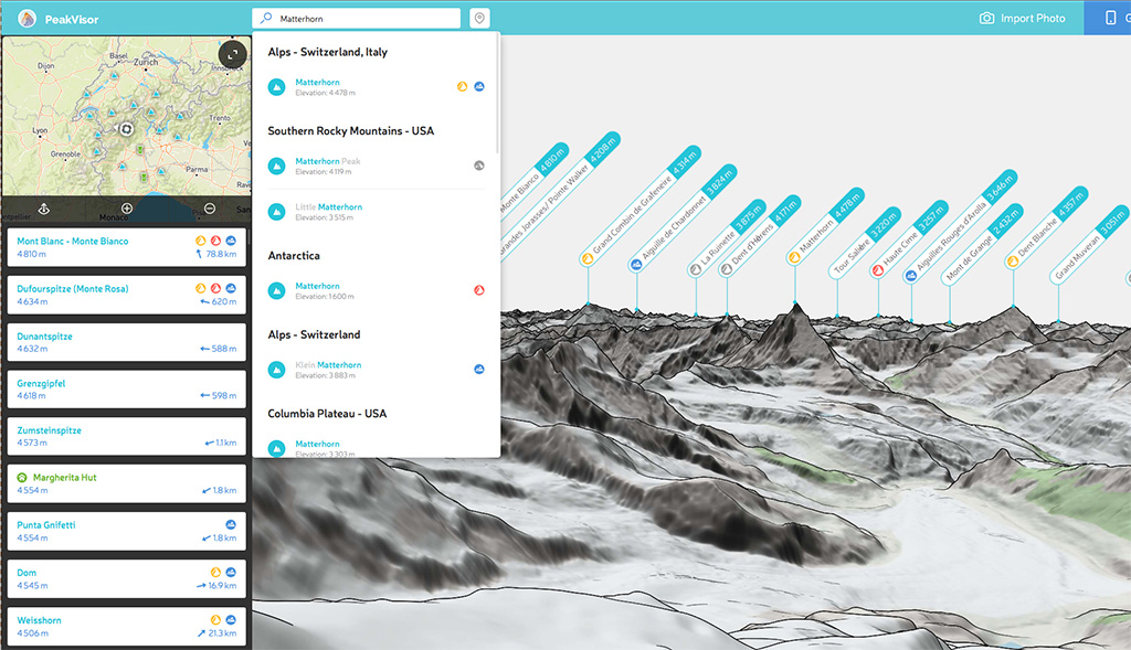
Mountain Search
12 April 2018
What new can be there about Mountain Search you would ask? Let me introduce you to the Mountain Search which allows you to find all the relevant outdoor features nearby.
Read more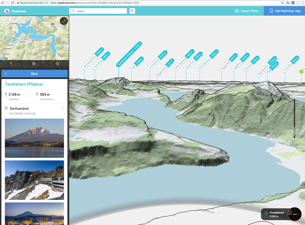
3D Maps
10 April 2018
Here in PeakVisor we firmly believe that outdoors maps should be in 3D. That’s the most intuitive way to embrace the mountains. Today, we are excited to release 3D maps to PeakVisor Mountain Explorer and PeakVisor for iOS.
Read moreIdentify Mountains in your Photos
30 March 2018
If you are a passionate outdoor enthusiast odds are that your smartphone and DSLR camera roll is full of picturesque mountain landscapes made over the years of your hiking adventures.
Read more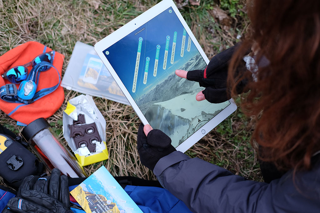
PeakVisor 2.1.4 iPad Pro, 3D map, and 867.088 peaks
01 March 2018
This winter is rich in weather surprises and anomalies. With most of Europe (even the southern part) covered by snow, we have been working hard to bring you important improvements, so you would be totally ready when the skies clear and show magnificent peaks in all their splendor to all the world.
Read morePeakVisor 2.0.7 High Precision Maps
15 November 2017
There's a lot of snow high in the mountains and the weather seems to be pleasant for a late autumn / almost winter kind of hike. Grab this latest version of the PeakVisor app with the following improvements.
Read morePeakVisor 2.0.5 presents alpine lakes
17 October 2017
Last week we started rolling out improvements that smoothly move the app into the so-called 'Grand Release'. It is based on our early tests and feels like the promising future of navigation and orienteering. Follow us in order to be the first to experience this grand future!
Read morePeakVisor 2.0.4 blends Augmented and Virtual Reality
05 October 2017
We have been very quiet over the recent weeks, the whole month actually. But that was for the grand reason. We can't wait for you to see all the mind-blowing stuff coming into your phones with the recent improvements.
Read morePeakVisor Android
15 September 2017
The complete database of 745.000+ summits embedded into the app. Added support for the three Augmented Reality modes: mountain labels only, terrain silhouettes, full AR.
Read more