Get PeakVisor App
Sign In
Search by GPS coordinates
- Latitude
- ° ' ''
- Longitude
- ° ' ''
- Units of Length

Yes
Cancel
❤ Wishlist ×
Choose
Delete
From the Verwall Alps to the Ennstal Alps, Austria is home to some of the finest mountains in Central Europe. There are 23674 named summits in Austria. The highest and most prominent mountain is Großglockner (3,798 m/12,460 ft).
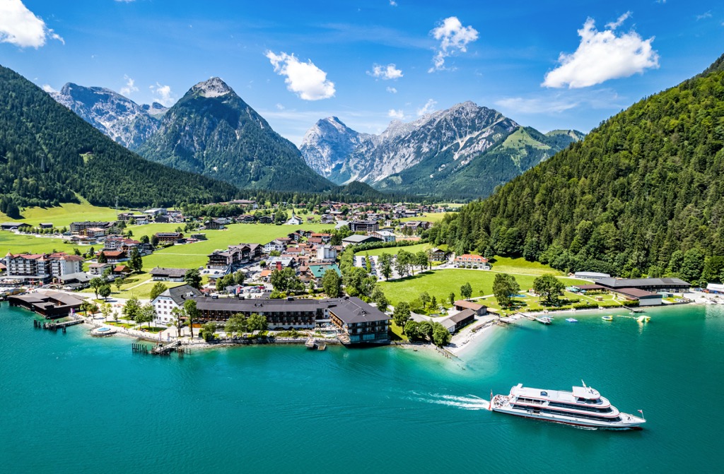
Austria (officially the Republic of Austria) is a country located in southern Central Europe. It covers an area of 83,879 sq km (32,386 sq mi) and has a population of approximately 9 million people.
Completely landlocked, Austria shares its borders with eight other countries: the Czech Republic to the north, Germany to the northwest, Slovakia to the northeast, Hungary to the east, Italy and Slovenia to the south, and Liechtenstein and Switzerland to the west.
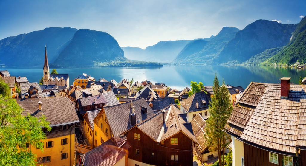
Austria is a federal republic composed of nine separate states:
Vienna has the largest population of these states, with over 1,900,000 people. With an area of 19,178 sq km (7,404 sq mi), Lower Austria is Austria's largest state.
Austria is a highly mountainous country due to its position within the Alps mountain range. The Austrian Alps, also known as the Central Alps, form the country's backbone.
Austria is home to three major mountain ranges of the Alps, the Southern Limestone Alps, the Central Alps, and the Northern Limestone Alps, which run from east to west across the country.

The Central Alps, which stretch from Tyrol to the Styria/Lower Austria border, is the highest and largest range in the country. The Central Alps encompass several other minor ranges and chains, including the Ötztal Alps on the Austrian-Italian border and the High Tauern (Hohe Tauern) in Tyrol.
To the north of the Danube River is the Bohemian Forest (Böhmerwald), a low mountain range that's part of the Bohemian Massif. The Bohemian Forest covers approximately 10 percent of Austria.
The largest mountainous area of Austria is the Eastern Alps, which constitutes 62 percent of the country's total area. Only 32 percent of Austria is below 500 m (1,640 ft) above sea level.
Despite the Alps' presence, Austria has a varied landscape. To the north are the rugged granite and gneiss peaks of the Bohemian Massif, while on Austria's eastern border are the vast plains of the Hungarian Lowlands and Vienna Basin.
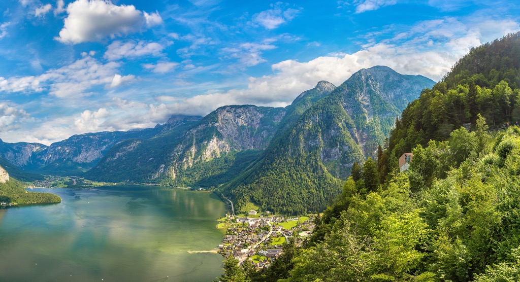
Austria is heavily wooded, with around 50 percent of the country carpeted in forests. These forests can be divided into four ecoregions: Alps conifer and mixed forests, Central European mixed forests, Pannonian mixed forests, and Western European broadleaf forests.
Flowing from east to west across the north of Austria is the renowned Danube River. This 2,850 km (1,770 mi) long river flows in a southeasterly direction across Central Europe and is the second-longest river on the continent, surpassed only by the Volga River in Russia.
The largest lake in Austria is Lake Constance (Bodensee) which forms a natural border between Austria, Germany, and Italy. Lake Constance has a surface area of 536 sq km (207 sq mi). Austria's second largest lake is Lake Neusiedl (Neusiedler See) which rests on the Hungarian border.
The capital and largest city in Austria is Vienna, which is located in the country's northeastern corner. Vienna has a population of approximately 2 million people. Other notable cities in Austria include Graz, Linz, Salzberg, and Innsbruck.
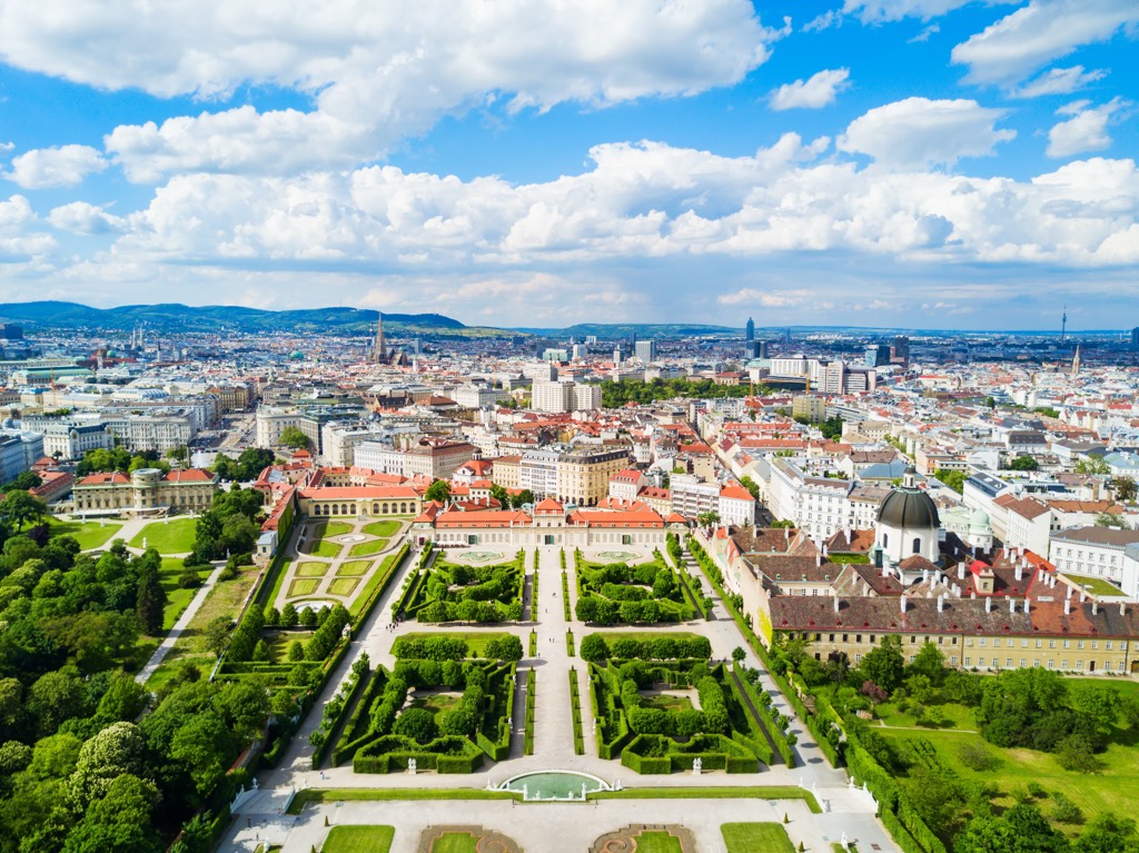
Most of the rocks present in Austria are Precambrian and formed approximately 540 million years ago. The oldest rocks in Austria are Dobra Gneiss. Located in the Waldviertel region in northern Austria, these rocks date back approximately 1.38 billion years.
During the Cadomian Orogeny during the Cambrian geological period, fragments of continental crust, which are now part of the Bohemian Massif and the Alps, joined the Gondwana supercontinent. Maissau granite that’s 570 million years old is present within the Bohemian Massif and is a result of the Cadomian Orogeny.
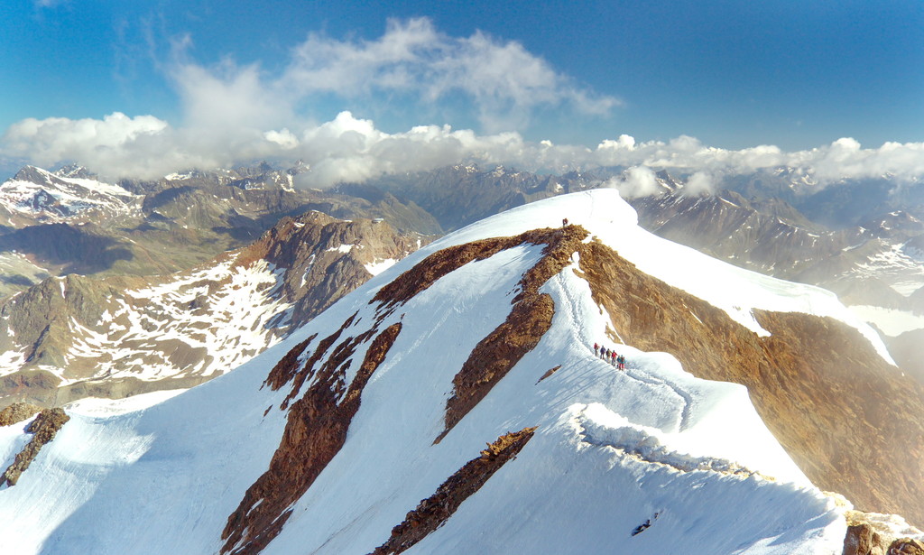
Many of the oldest rocks in Austria formed during the Variscan Orogeny, a mountain-building event caused by a continental collision between the continents of Gondwana and Euramerica, forming Pangea.
The Variscan Orogeny created the basis of many mountain ranges across Europe, as well as North America and Africa. The Alps and the Bohemian Massif were also shaped by this orogeny, with granite from this period present in all Austrian superunits.
Igneous quartz created by violent volcanic explosions was also deposited in the south of Austria. This quartz is several hundred meters thick in areas of southern Tyrol. The creation of bays in the Tethys Sea in the southern Alps resulted in the deposits of fossil-rich limestones.
Crustal extension and erosion reduced the Variscan mountains' height drastically over millions of years to just a few hundred meters above sea level.
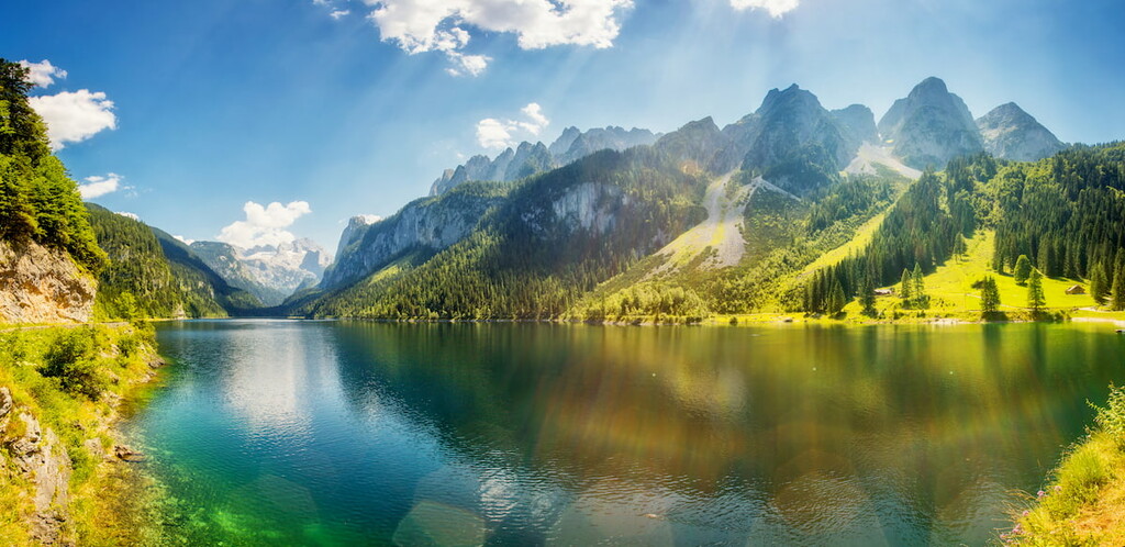
Following the breakup of Pangea during the Mesozoic era, the continents of India, Africa, and Cimmeria collided with Eurasia to the north, kickstarting the Alpine Orogeny.
Around 135 million years ago, a strike-slip fault between the Penninic and Tethys Ocean started the formation of the Alps. This strike-slip fault and continental collision resulted in convergent movement, forcing sedimentary rocks from the region's basement rocks back into the mantle due to subduction.
During the Cenozoic era, high levels of volcanic activity formed igneous rocks, primarily granites and gneisses, in layers 5 to 25 miles deep. These deposits were prominent around Salzburg but have eroded significantly over millions of years.
Around 23 million years ago, as the Eurasian and Adriatic Plates got closer, the Alpine Orogeny extended eastwards, creating the Vienna Basin.
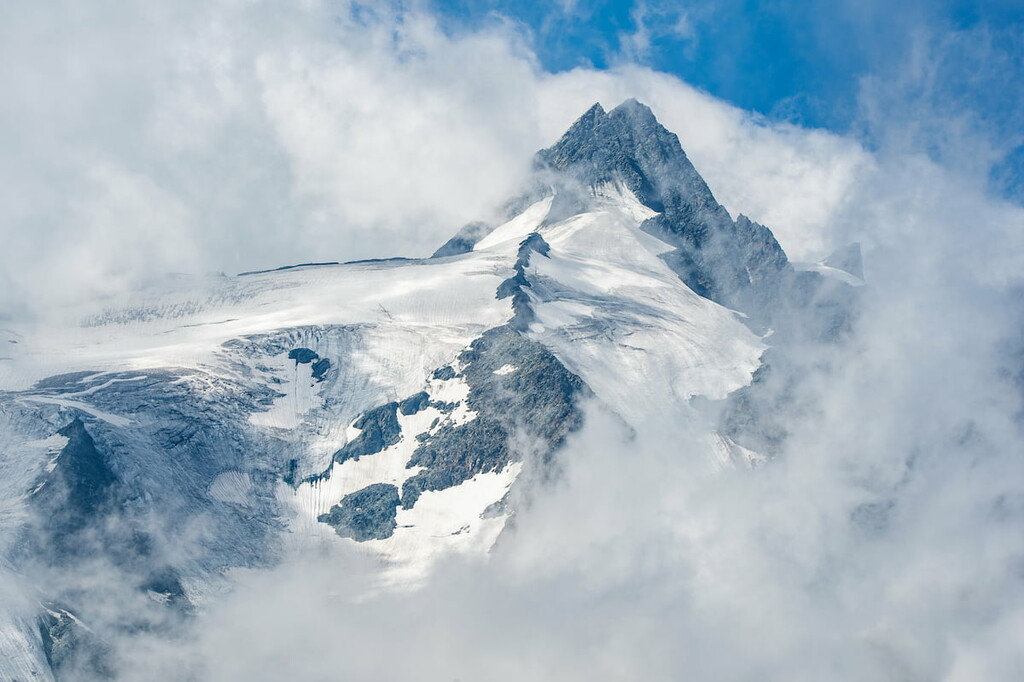
Today, Austria is one of the most mountainous countries in Europe, with a median altitude of 910 m (2,985 ft). The highest mountain in Austria is Großglockner (3,798 m/12460 ft), the highest peak in the Alps east of Brenner Pass.
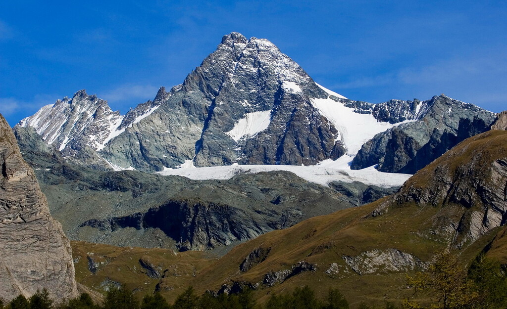
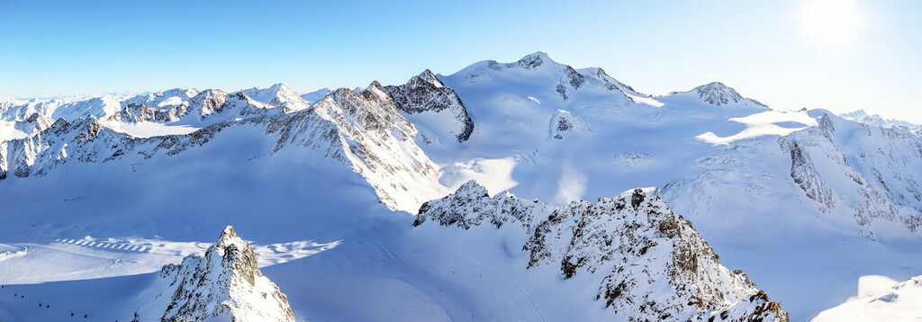
Other notable mountains in Austria include Wildspitze (3,768 m/12,362 ft), Weißkugel (3 738 m/12,263 ft), Großvenediger (3,662 m/12,014 ft), and Kitzsteinhorn (3,203 m/10,508 ft).
The dense forests, raging rivers, and snow capped summits of Austria provide habitats for an array of wildlife. Read on to find out about Austria's flora and fauna.
Some of the most common mammals in Austria include deer, rabbits, foxes, squirrels, wild boars, and martens. Austria has also recently become home to a small population of brown bears.
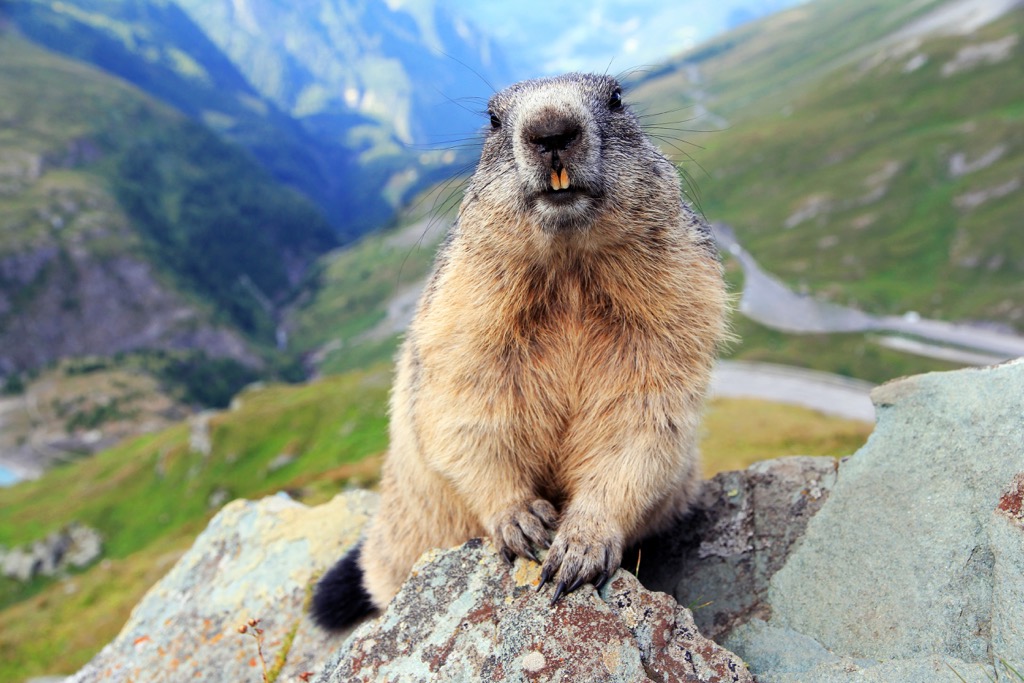
Several mammals native to the Alpine region can be spotted in Austria, such as chamois, alpine ibex, alpine marmots, and alpine field mice. Of the 26 bat species in Austria, notable examples include greater horseshoe bats, common pipistrelle bats, and serotine bats.
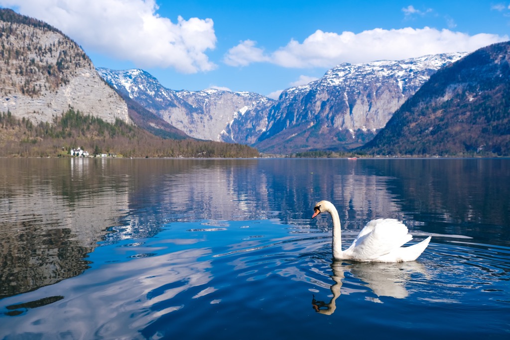
Austria is home to a vast and varied bird population, numbering over 300 species. This diversity is thanks partly to Austria's extensive lakes and rivers. For example, herons, scoopers, spoonbills, geese, and more nest in the reed beds of Lake Neusiedl.
The Austrian Alps boast some impressive birds of prey. Notable examples include gyrfalcons, golden eagles, griffon vultures, and eastern imperial eagles. Many smaller birds can also be found high up in the Alps, including Alpine choughs, great gray shrikes, red crossbills, woodpeckers, and European rollers.
Despite its cold climate, Austria is inhabited by over 15 reptile species, including several snake species, like nose-horned vipers, common European adders, and aesculapian snakes. Other reptiles present include Horvath's rock lizards, European pond turtles, and slowworms.
The lakes and rivers of Austria are teeming with diverse populations of fish and amphibians. Lake Constance (Bodensee), Austria's largest lake, contains 36 fish species. Significant examples include whitefish, perch, pike, and European eel. The Danube River is home to pike, zander, carp, and Danube salmon.
Austria is one of the most heavily forested countries in Europe. Most forests in Austria are deciduous forests composed of oak and beech or mixed forests made up of beech and fir. At higher altitudes, pines, firs, and larches are increasingly prominent.
The national flower of Austria is the edelweiss, a beautiful alpine flower that features on Austrian euro coins. Other flowers commonly found high up in the Austrian mountains include gentians, alpine roses, heather, and arnica.
Other popular plants found in Austria include carnations, hyacinths, bee orchids, red vanilla orchids, blue monkshood, bellflowers, bird vetch, and pasque flowers.
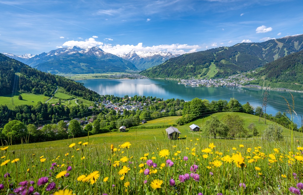
Once one of the largest empires in Central Europe, Austria has a long and fascinating history. Read on to learn more about Austria's history.
The human history of Austria can be traced back to the early Paleolithic Era, more than 250,000 years ago. During the Iron Age, around 800 BCE, the Hallstatt Celtic culture inhabited Austria. The Hallstatt culture was one of the first Celtic tribes to exist.
During the first century BCE, all of Austria south of the Danube became part of the Roman Empire. The area became the Province of Noricum in 40 CE. The most important Roman settlement in the Province of Noricum was Carnuntum, which was home to 50,000 people at its height.
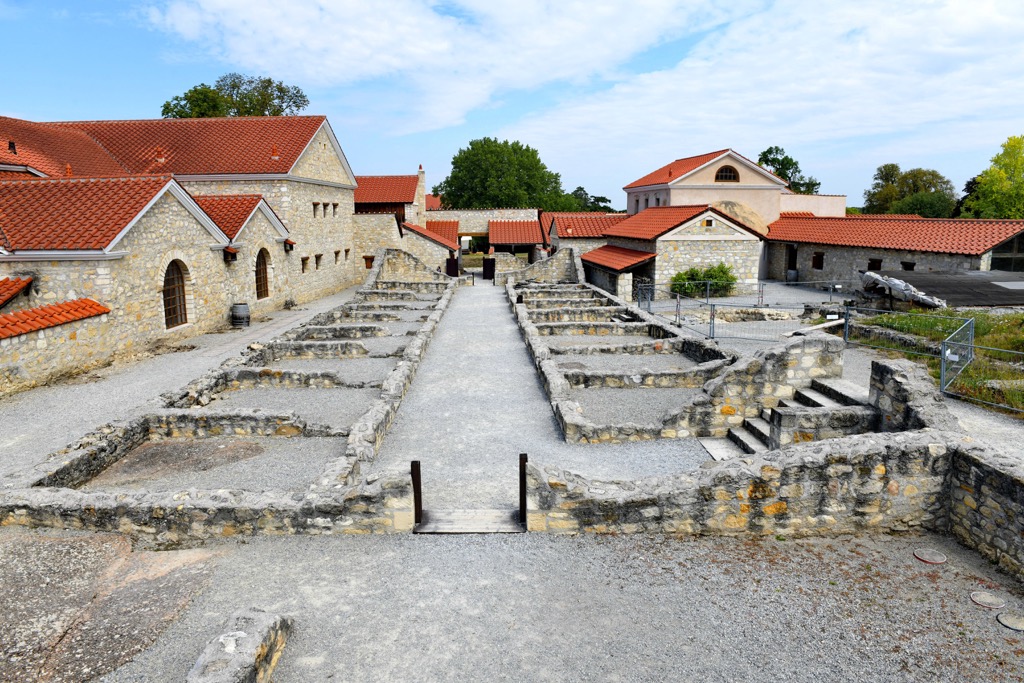
Following the fall of the Roman Empire, Austria was inhabited by the Bavarians until the Franks conquered the region in the ninth century. King Charlemagne established the Avar March outpost in Austria in 800 CE to stop the advances of the Avars and Slavs.
The name "Austria" originates from the tenth century CE. Around 976 CE, the Duchy of Bavaria, on the border with Hungary, established an outpost called the Marchia Orientalis or March of the East. This area was known as the 'Eastern Realm' in German, or Ostarrîchi, which translates to Austria.
After the end of the Babenberg dynasty in the thirteenth century, German King Rudolf I of Habsburg ruled Austria as a part of the Holy Roman Empire. The Habsburg territories grew significantly from the thirteenth to the fifteenth century until the Edict of Worms (Wormser Vertrag).
In 1521, Emperor Charles V divided the Habsburg dynasty, giving Austria to his brother Ferdinand I. As a result of the expansion of Austria, the kingdom now lay directly next to the Ottoman Empire, leading to a period of turmoil, including the unsuccessful Siege of Vienna in 1529.
Additionally, the Reformation, coupled with the Habsburg Catholic renewal, resulted in the Thirty Years' War, one of the bloodiest conflicts in European history. The Thirty Years' War wasn't just a religious war but also a battle for control of Central Europe. The result of the conflict restricted Habsburg's rule to the lands of Austria and Czechia.
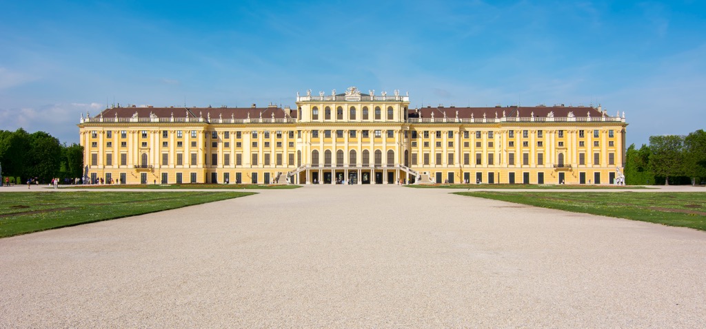
Following the Great Turkish War and the War of the Spanish Succession, Austria signed the 1713 Treaty of Utrecht and gained control of the Spanish Netherlands, Naples, and Lombardy.
Despite attempts to consolidate its hold on these territories, Austria quickly fell into war following the death of Charles VI in 1740. Austria subsequently lost territory to Prussia and the Ottomans during the Seven Years' War and Austro-Russian–Turkish War, respectively. When the Holy Roman Empire was dissolved in 1806, Austria became the Austrian Empire.
The Habsburg Empire eventually collapsed at the start of the First World War. Following years of uncertainty caused by the Napoleonic Wars, Austria became a part of the German Federation until the Austro-Prussian War.
Following defeat to Prussia, nationalist sentiments among Austrians dampened. However, Slavs and Romanians remained unhappy with the dual-monarchy rule of Austria-Hungary and wanted independence. The result was the assassination of Archduke Franz Ferdinand, triggering the First World War and the collapse of the Habsburg Empire.
Following defeat in the First World War to the Central Powers, Austria-Hungary collapsed and Emperor Charles I went into exile. Austria was forced to cede all territory and allow the formation of new nations across Europe, ending the Habsburg Empire.
There were attempts to form an Austrian republic between 1919 and 1933, but these attempts were short-lived due to treaty disagreements and violent clashes between Socialists and Nazis.
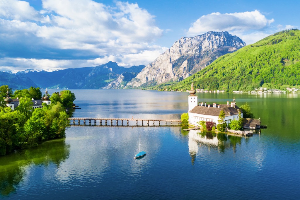
The failure to form a stable republic led to the rise of fascism, with Engelbert Dollfuss taking control of the country as a dictator after a coup d'état. The rise of Austrofascism lasted until unification with Germany and the outbreak of the Second World War.
Following defeat in the Second World War, Austria came under Allied occupation. Former statesman Karl Renner helped form a new Austrian government out of politicians detained or exiled due to Nazi rule. This led Allied Forces to treat Austria as a liberated rather than a defeated country.
A second republic was formed far more stable than the first. Eventually, Austria became an independent country again in 1955 following the Austrian State Treaty.
Modern-day Austria has seen a period of prosperity and is seen as one of Europe's most socially progressive countries. Austria joined the European Union (EU) in 1995.
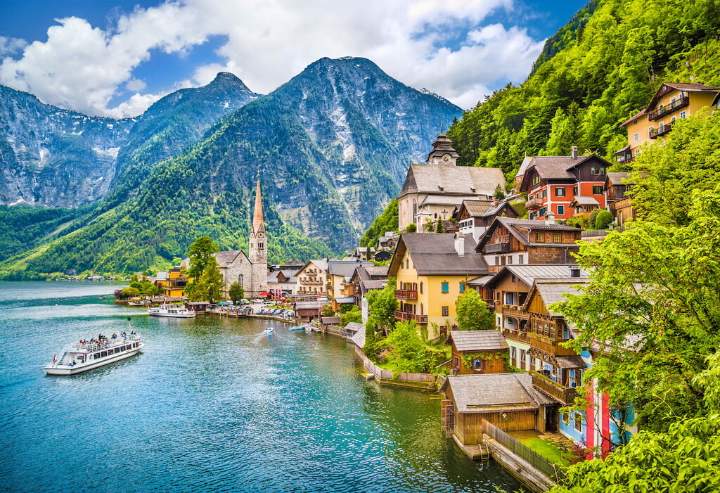
With six national parks and thousands of miles of Alpine trails, Austria is a premier destination for hikers.
Many of Austria's best mountain hikes are potentially dangerous, so come well-prepared with plenty of supplies and map your route carefully. Check weather conditions and inform others of your intended itinerary. If you're hiking in a national park, consider stopping by a visitor's center for additional information on the local trails.
Read on to learn about some of the best hikes in Austria.
The largest national park in the Alps, High Tauern National Park (Nationalpark Hohe Tauern), is among Austria's most popular hiking destinations. It's one of the most mountainous areas of Austria — East Tyrol alone is home to approximately 250 three-thousand footers.
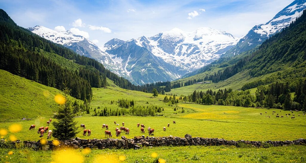
The park is spread across the states of Tyrol, Carinthia, and Salzburg. It covers an area of 1,856 sq km (717 sq mi). High Tauern National Park contains Großglockner (3,798 m/12,460 ft), the highest mountain in Austria.
A popular and challenging trek in High Tauern National Park is the East Tyrol Eagle Trail (Osttiroler Adlerweg). Spread across nine stages, each around 10 km (6 mi) in length, the East Tyrol Eagle Trail takes visitors on a high-altitude hike between Ströden near Großvenediger (3,662 m/12,014 ft) and Kals near Großglockner.
During the final stage of this walk, you'll reach Stüdlhütte (2,802 m/9,193 ft), where you can discover the origins of the German Alpine Club (Deutscher Alpenverein) and enjoy some of the best views of Austria's highest mountain.
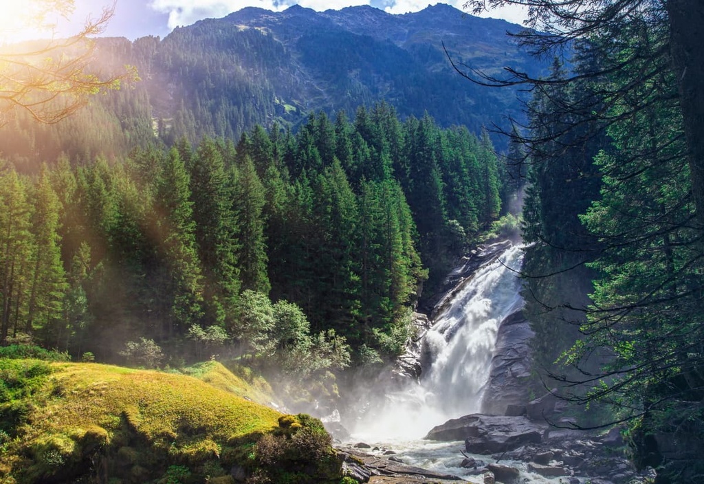
Or, consider the From Wetterkreuzhütte to Zupalseehütte Trail (Von der Wetterkreuzhütte zur Zupalseehütte) if you're searching for a shorter, simpler hike in High Tauern National Park. This 5 km (3 mi) hike offers panoramas of jagged mountain peaks in all directions.
You can also take a short 500 m (1,640 ft) detour to the summit of Griften (2,723 m/8,933 ft), which affords breathtaking views of the Defereggen Alps. This path is open from June to October.
Kalkalpen National Park (Nationalpark Kalkalpen), or Limestone Alps National Park, is home to the largest forested area in Central Europe and Austria's largest karst landscape.
The rich diversity of nature, coupled with its unique landscape, makes Kalkalpen National Park an unmissable hiking destination. The park is located in Upper Austria and covers an area of 208 sq km (80 sq mi).
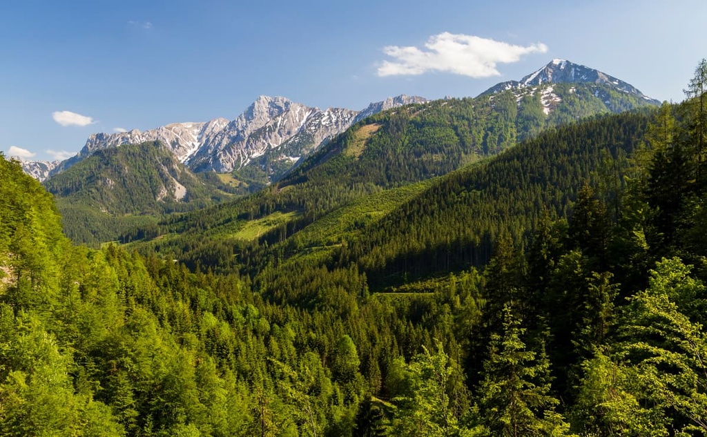
Hikers searching for the perfect long-distance trek across Kalkalpen National Park will love the Kalkalpenweg. This 150 km (93 mi) hiking trail leads from Ennstal in Reichraming to the Dead Mountains (Totes Gebirge) near Hinterstoder.
Highlights from the Kalkalpenweg include passing over the summit of Sengsengebirge (1,400 m/4,593 ft) and the views of the Dead Mountains from Weißenbach Valley.
One of the best day hikes in Kalkalpen National Park is the Hoher Nock - Seekopf. This challenging 19.5 km (12 mi) trail will take you to the summit of Kalkalpen National Park's highest mountain, Hoher Nock (1,963 m/6,440 ft). This trail is extremely steep and only recommended for experienced hikers.
Encompassing an area of 110 sq km (42 sq mi) in Styria is Gesäuse National Park (Nationalpark Gesäuse). The park covers a large area of the mountain Upper Styria region and includes parts of the Ennstal Alps and Gesäuse range. The park's highest mountain is Hochtor (2,369 m/7,772 ft).
The Hochtor above Hesshütte (Hochtor über Hesshütte) is one of the best trails for hikers looking to scale Gesäuse National Park's highest summit. This demanding T3 trail loop is approximately 9.1 km (5.6 mi) in length.
Via Ferrata equipment and a helmet are recommended for this hike. From the summit cross of Hochtor, you'll get to enjoy sweeping views as far as High Tauern National Park and the Alps.
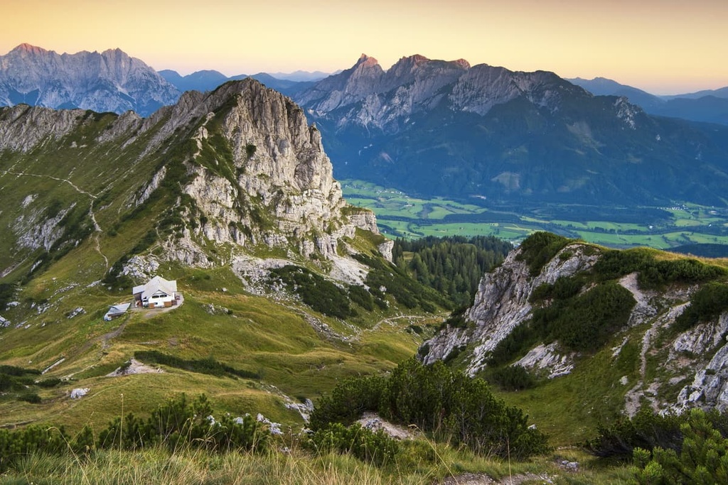
If you're looking for a trail that doesn't require a high degree of skill, consider the Palfau to Akogel (Akogelrunde von Palfau) looped trail. This family-friendly hike leads to the summit of Akogel (1,190 m/3,904 ft), which affords stunning views across Gesäuse National Park. This walk is approximately 9.1 km (5.6 mi) in length.
Situated just north of Innsbruck is Karwendel Nature Park (Naturpark Karwendel).
Covering an area of 737 sq km (284.5 sq mi), Karwendel Nature Park is highly popular with hikers due to its untamed natural beauty and its proximity to one of Austria's largest cities. The highest mountain in the Karwendel range is Birkkarspitze (2,749 m/9,019 ft).
One of the best walks in Karwendel Nature Park is the Goetheweg, a trail that leads through the Nordkette mountains directly north of Innsbruck. This 10 km (6 mi) route winds along a ridge overlooking Innsbruck, affording some of the park's best panoramas.
You can pick up this trail from the Hafelekar cable car station (Hafelekar Bergbahn) at the summit of Hafelekarspitze (2,334 m/7,657 ft). The path weaves east between several mountain summits, including Gleirschspitze (2,317 m/7,602 ft), Mandlspitze (2,366 m/7,762 ft), and Gleirschtaler Brandjoch (2,372m/7,782 ft).
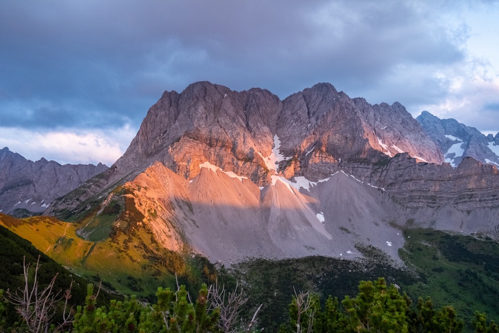
The trail ends at the Pfeishütte (1,950 m/6,397 ft), where you can warm up with a hearty meal before returning the way you came back to your starting point.
The Zillertal Alps are a mountain range that stretches across the Austria - Italy border. The Austrian side of the range is located within the states of Tyrol and Salzburg.
With dozens of summits exceeding 3,000 m (9,842 ft) in elevation, the Zillertal Alps are a thrilling hiking destination. The highest mountain in the range is Hochfeiler (3,510 m/11,516 ft).
The Zillertal Alps are home to one of the best high Alpine long-distance hikes, the Berlin High Trail (Berliner Höhenweg). This 85 km (53 mi) trail is usually completed over eight days and takes in the best sights in the Zillertal Alps and Tux Alps.
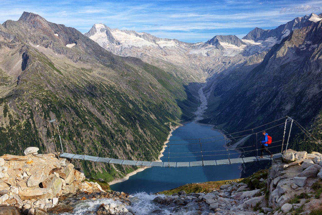
This route leads from Finkenberg to Mayrhofen. Along this trek, you'll pass by the dazzling Lake Schlegeis (Schlegeisspeicher) as well as several popular mountains, including Hochfeiler and Olperer (3,476 m/11,404 ft). You'll also get a chance to stay in some of Austria's finest mountain huts, including the trail's namesake Berliner Hütte (2,042 m/6,699 ft).
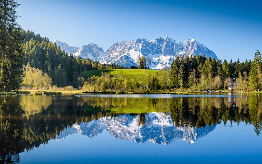
The Kitzbühel Alps form a part of the Central Alps and encircle the town of Kitzbühel in Tyrol. With its numerous cable cars, beautiful mountain huts, and majestic mountain summits, the Kitzbühel Alps are hugely popular with hikers and skiers. The highest summit in the range is Kreuzjoch (2,558 m/8,392 ft).
The Kitzbühel Alps boasts one of the best day hikes in Austria — the Pinzgau Walk (Pinzgauer Spaziergang). This 17 km (10.5 mi) hike leads to the summit of Schmittenhöhe (1,965 m/6,447 ft), which overlooks Lake Zell (Zeller See) and the town of Zell am See.
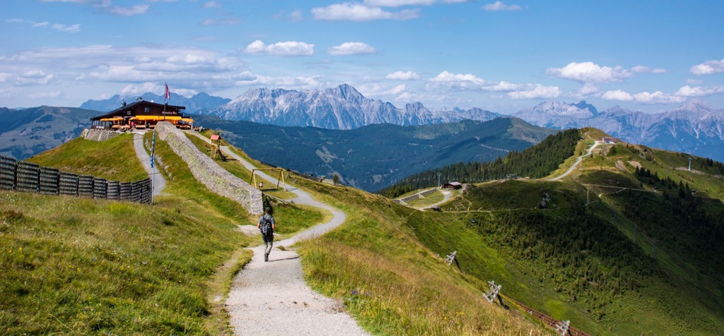
On a sunny day, the summit of Schmittenhöhe and the views of Zell am See below are spectacular. A cable car to the trailhead makes this walk much less strenuous than it seems on paper.
On the way to the summit of Schmittenhöhe, you'll be greeted by vistas of Großglockner, the Kitzsteinhorn (3,203 m/10,508 ft) glacier, and the surrounding Kitzbühel Alps.
You'll find many other legendary mountains in the Kitzbühel Alps, from Geißstein (2,363 m/7,752 ft) to Kitzbüheler Horn (1,996 m/6,548 ft). Perhaps the most famous mountain is Hahnenkamm (1,712 m/5,617 ft), which hosts the annual World Cup alpine ski race.
It's possible to hike up the famous Streif downhill course starting from the Hahnenkammbahn car park (Parkplatz Hahnenkammbahn) in Kitzbühel. You can ride the cable car instead if you don't feel like undertaking this 5 km (3 mi) trek. At the end of the trail is the Hochkitzbühel bei Tomschy restaurant, where you can enjoy a meal overlooking Kitzbühel.
The Dachstein Mountains is a 50 km (31 mi) long mountain range that forms part of the Northern Limestone Alps. The range marks the border between Tyrol, Salzburg, and Styria.
The highest mountain in the Dachstein Mountains, Hoher Dachstein (2995 m/9,826 ft), is the second-highest mountain in the Northern Limestone Alps after Parseierspitze (3,036 m/9,961 ft).
The summits around Hoher Dachstein are one of the main attractions of the Dachstein Mountains, thanks to the dizzying Dachstein Sky Walk. This observation deck with a glass floor is built into one of Hunerkogel's (2,687 m/8,816 ft) sheer 250 m (820 ft) long rock faces.
The Dachstein Sky Walk is considered to be one of the finest viewing platforms in the Alps. Other nearby attractions include the Stairway to Nowhere (Treppe ins Nichts) and the suspension bridge.
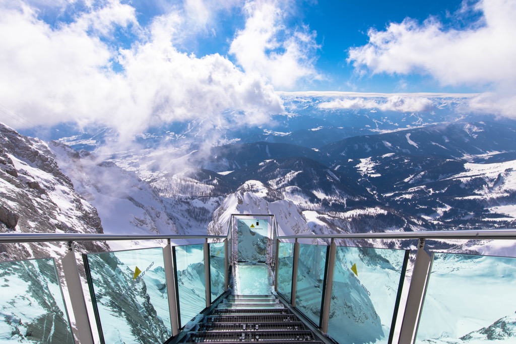
One of the best ways to get to the Dachstein Sky Walk is on the Dachstein Südwandhütte to Guttenberghaus stage of the Dachstein Circular Hiking Trail (Dachstein Rundwanderweg). This 10.7 km (6.6 mi) trail from the Südwandhütte (1,871 m/6,138 ft) mountain hut starts with a ride on the Dachstein Gletscherbahn cable car (Dachstein-Gletscherbahn).
It's recommended hikers purchase tickets for the Dachstein Gletscherbahn cable car at least a week in advance, as reservations are required. At the end of the cable car ride, you'll be just a short walk from the Dachstein Sky Walk. You'll get to enjoy some great views of the Hoher Dachstein glacier before a long walk across a plateau to the Guttenberghaus (2,146 m/7,040 ft).
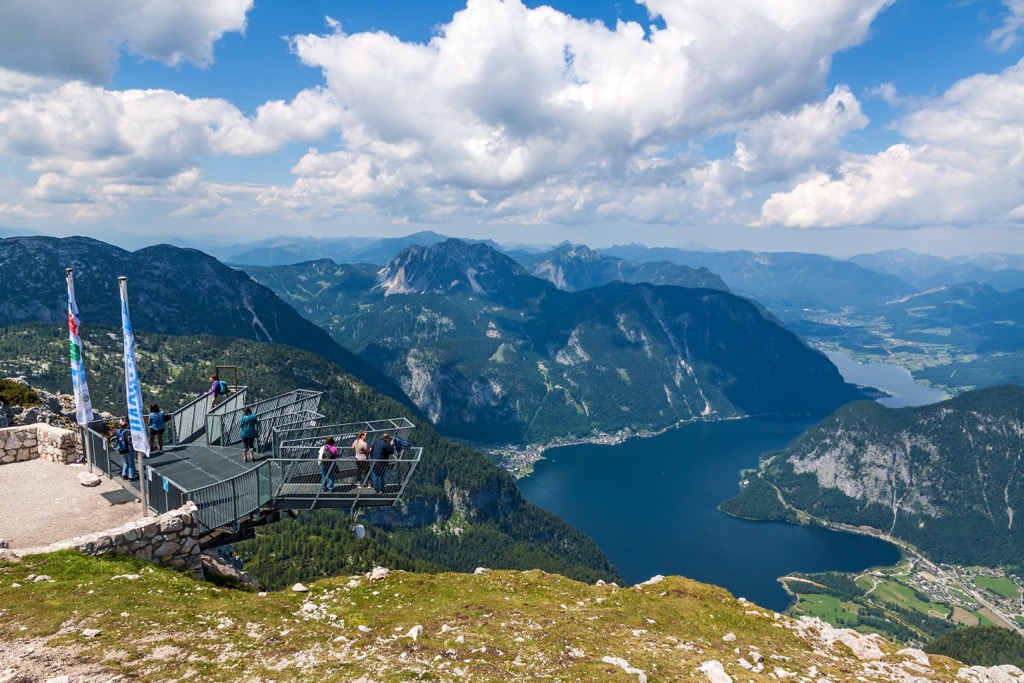
You'll find a few other breathtaking observation decks in the Dachstein Mountains, and another fine example is the 5 Fingers. Jutting out of the top of a 400 m (1,312 ft) cliff on the north side of Krippenstein (2,108 m/6,916 ft), the 5 Fingers viewing platform provides heart-stopping views of Lake Hallstatt (Hallstätter See) and Hallstatt.
The Experiences Trail to the 5 Fingers is straightforward and suitable for families. From the Krippenstein Mountain Station (Bergstation Krippenstein), it's a simple 30-minute walk to the 5 Fingers. You'll also get the chance to visit the Pioneer Cross, another viewing platform above the 5 Fingers. After your walk, you can relax and enjoy a hearty meal at the Lodge am Krippenstein.
For skiing and snowboarding enthusiasts, there are more than 440 ski resorts in Austria. They are located throughout the country, but the greatest number of areas for skiing in the Austrian Alps is in the western part of the state, which also brought together the largest of them. On the administrative map, the country’s five most ski regions are Tyrol, Vorarlberg, Salzburg, Styria, and Carinthia.
The largest ski resort in Austria is Ski Arlberg in the Arlberg Massif of the Lechtal Alps in the states of Vorarlberg and Tyrol. It consists of seven individual ski areas: St. Anton, St. Christoph, Stuben, Lech, Zürs, Warth, and Schröcken, with more than 300 km (186 mi) of slopes and more than 90 ski lifts in total.
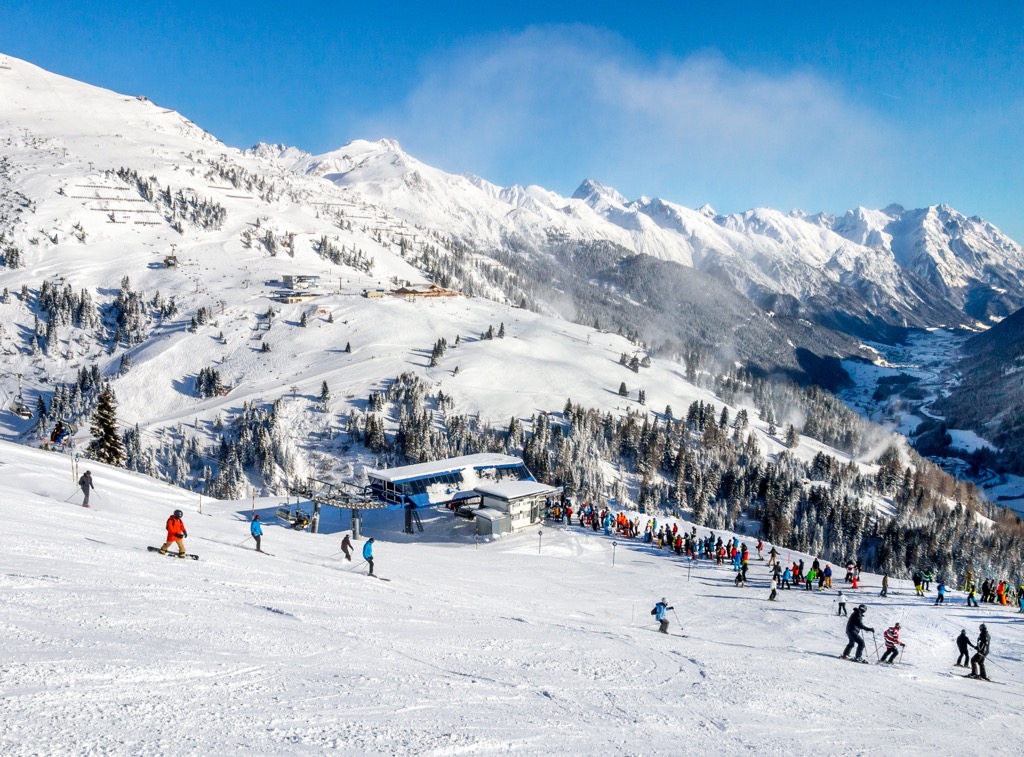
Other major areas for skiing in Austria with more than 100 km (62 mi) of slopes and more than 20 ski lifts each include the following 15 in descending order of size:
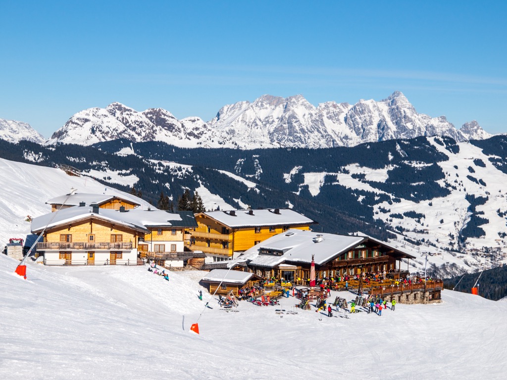
The four largest ski resorts near Vienna, the capital of Austria, are Stuhleck-Spital am Semmering with more than 25 km (16 mi) of slopes and more than 10 ski lifts, as well as Unterberg-Pernitz, Zauberberg Semmering, and Mönichkirchen/Mariensee with more than 10 km (6 mi) of slopes and several ski lifts in each of them. The nearest resorts to the other major cities in Austria are the following ones:
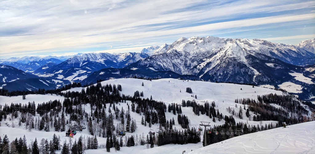
Check the Austria ski resorts map in the World Mountain Lifts section of the site. It includes information about open ski lifts / slopes in Austria in real-time with opening dates and hours. There are also year-round cable cars, funiculars, cog railways, aerial tramways, and all other types of mountain lifts.
Pristine cities with stunning architecture and sublime mountain backdrops await hikers in Austria. Read on to learn about some of Austria's main cities and towns.
Vienna is the capital of Austria and its largest city. The third largest German-speaking city in the world, Vienna woos travelers with its elegance, charm, and cultural delights. It's home to some of the most beautifully designed buildings in Central Europe, from the Vienna State Opera to the Hofburg Palace.
Just to the west of Vienna is the Danube-Auen National Park (Nationalpark Donauauen), one of the biggest floodplains in the Danube basin. The Lake Neusiedl - Seewinkel National Park (Nationalpark Neusiedler See) is located 71 km (44 mi) south of Vienna.
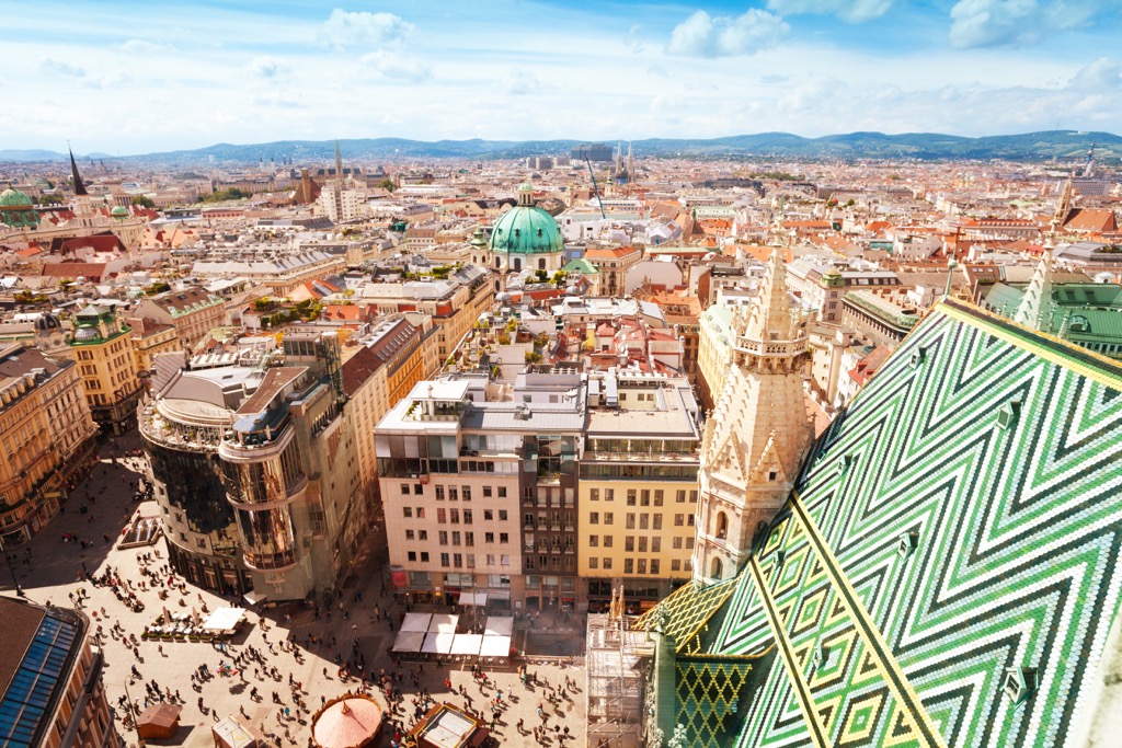
Popular hotels in Vienna include the Grand Hotel Wien, Hotel Schani Wien, and Hotel Kaiserhof Wien.
Graz is the capital of Styria and the second-largest city in Austria. Founded over 1,000 years ago, Graz is a popular tourist destination thanks to its historic city center, which is a UNESCO World Heritage Site.
Don't miss out on visiting the 473 m (1,551 ft) high hilltop Schloßberg fortress during your visit to Graz. Contemporary art lovers will also enjoy touring the Graz Art Museum (Kunsthaus Graz).
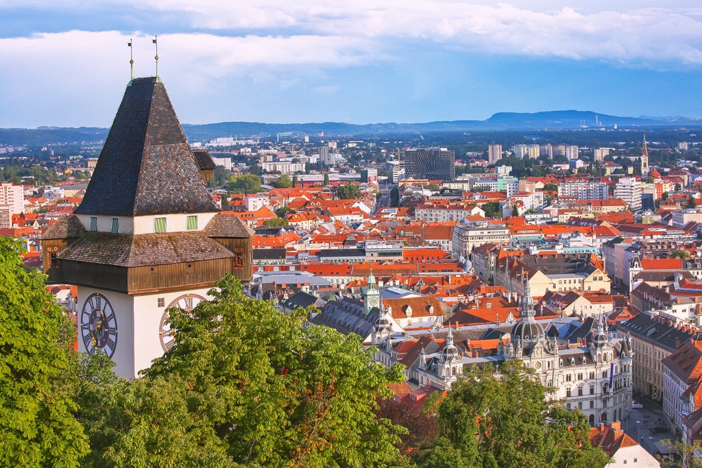
Graz is an excellent base from which to explore Kalkalpen National Park and Gesäuse National Park, with both parks less than 130 km (80 mi) away. Popular hotels in Graz include the Grand Hotel Wiesler Graz, NH Graz City, and Boutique Hotel Dom.
Linz is the capital of Upper Austria and the third-largest city in Austria. Once designated as a European City of Culture, Linz is a vibrant city filled with world-class museums, historic sites, and exceptional eateries.
Explore the largest cathedral in Austria, the New Cathedral, or tour the futuristic Ars Electronica Center. Linz offers a wide range of activities and attractions for every visitor.
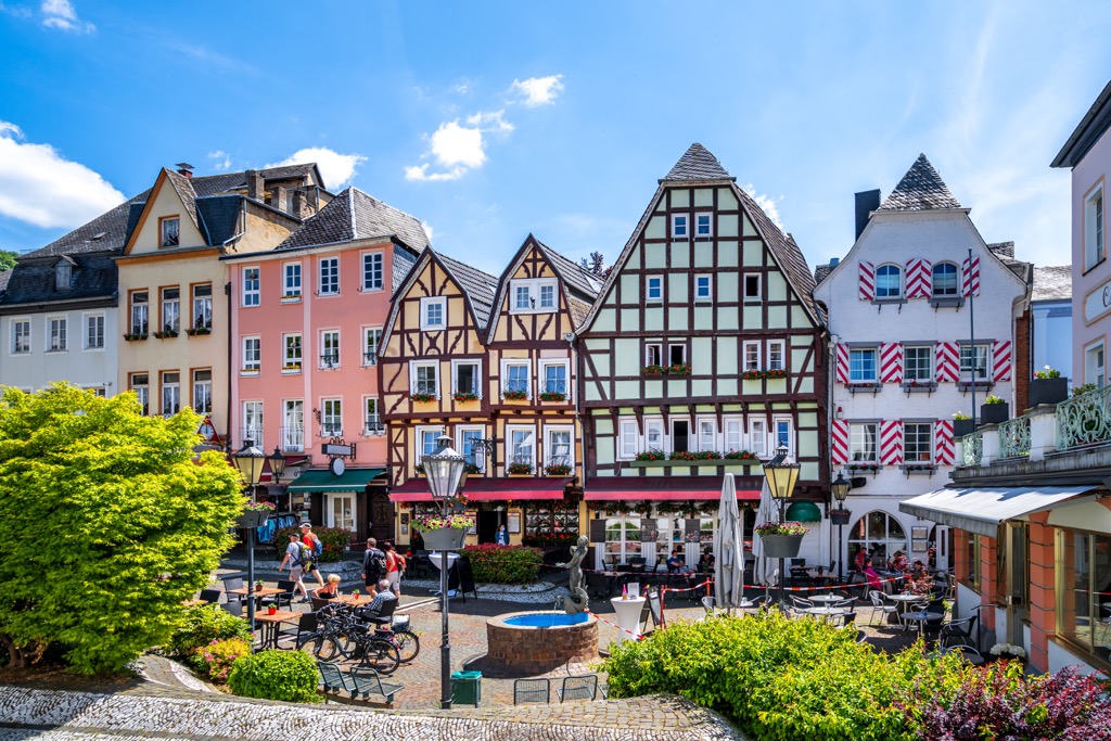
Linz is located less than 100 km (61 mi) from both Kalkalpen National Park and Gesäuse National Park. It's also within 140 km (87 km) of the Dachstein Mountains. Popular hotels in Linz include Trans World Hotel, Star Inn Hotel, and Hotel Schillerpark Linz.
Resting the Austria - Germany border is Austria's fourth-largest city, Salzburg. Founded as the Roman settlement of Iuvavum, Salzburg has grown to be one of Austria's largest economical and cultural centers.
Salzburg has plenty of claims to fame — it was the filming location for the Sound of Music and was once home to Mozart. When you're not off exploring the surrounding Alps, consider visiting Salzburg’s impressive eleventh-century hilltop Fortress Hohensalzburg.
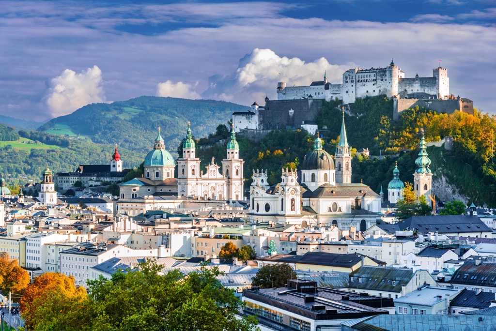
Salzburg is well-placed for exploring some of the Central Alps' best massifs, with the Dachstein Mountains located 97 km (60 mi) to the south and the Kitzbühel Alps located 105 km (65 mi) to the southwest. Popular hotels in Salzburg include H+ Hotel, Cool Mama Hotel, and Hotel Imlauer.
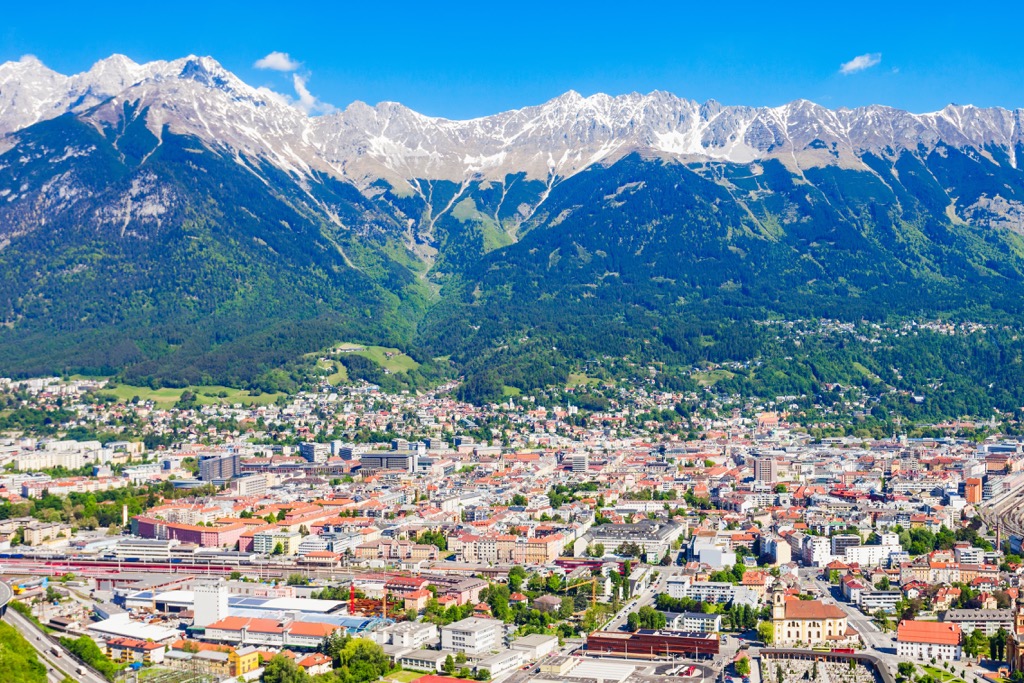
Innsbruck is the capital of Tyrol and the fifth-largest city in Austria. Surrounded by mountains and overshadowed by the Nordkettes, Innsbruck is one of Austria's most picturesque cities. And it’s not just natural beauty that Innsburck possesses. Innsbruck city center has some fantastic architecture, like the lavish Golden Roof (Goldenes Dachl), one of the symbols of the city.
Innsbruck is the perfect place to stay if you're looking to discover the Alps of western Austria. The Zillertal Alps are located less than 95 km (59 mi) to the south, and Karwendel Nature Park (Naturpark Karwendel) is right on your doorstep.
You could even hop across the German border and visit Zugspitze (2,962 m/9,718 ft), Germany's highest mountain, which is located less than 70 km (43 mi) away.
Popular hotels in Innsbruck include Hotel Mondschein, Innsbruck Hotel, and Nala Hotel.
Explore Austria with the PeakVisor 3D Map and identify its summits.

