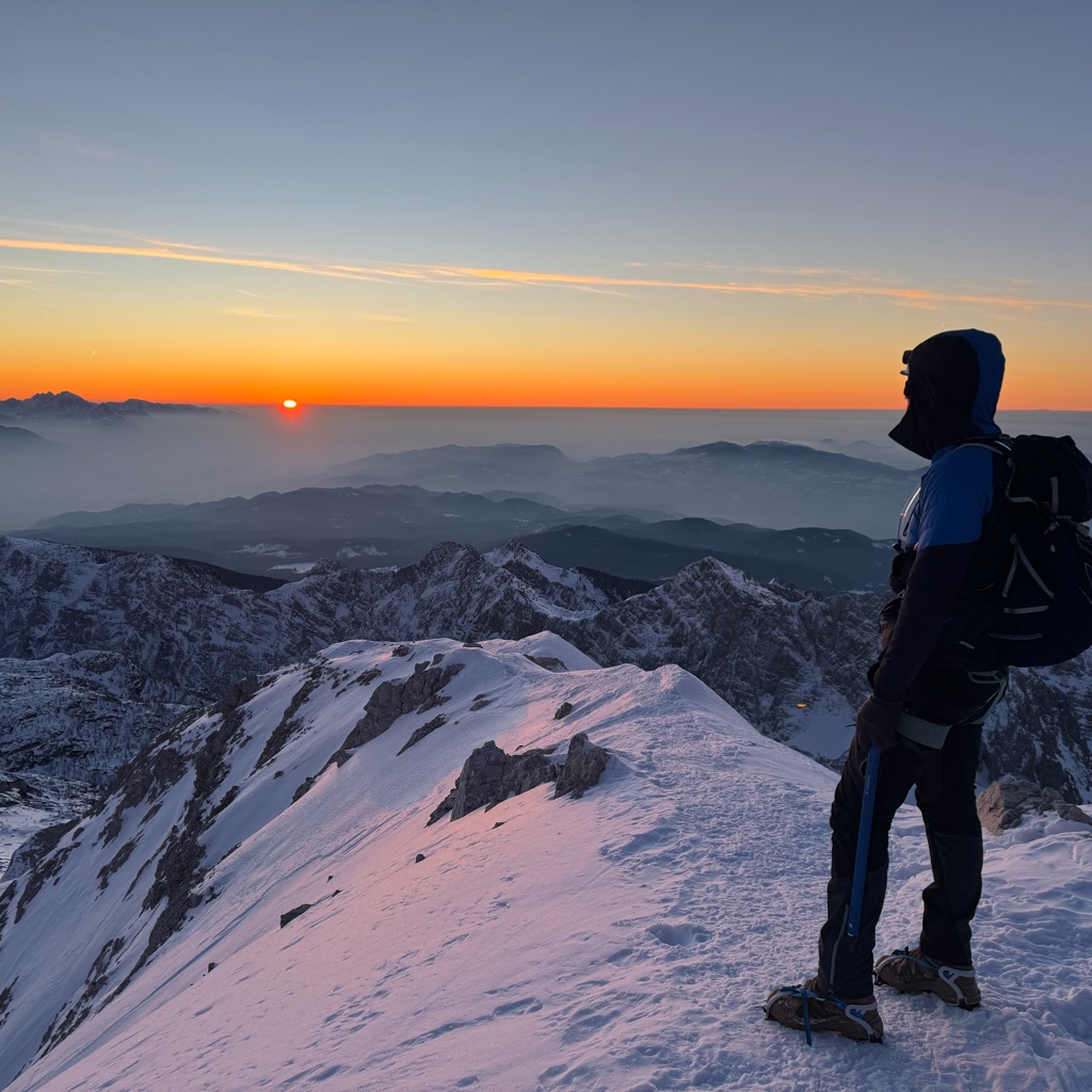
The Großer Priel (German pronunciation: [ˈɡʁoːsɐ ˈpʁiːl]) is, at 2,515 metres above the Adriatic (8,251 ft), the highest mountain of the Totes Gebirge range, located in the Traunviertel region of Upper Austria. It ranks among the ultra prominent peaks of the Alps. Part of the Northern Limestone Alps, its steep Dachstein cliffs form the northeastern rim of a large karst plateau and are visible from afar across the Alpine Foreland.
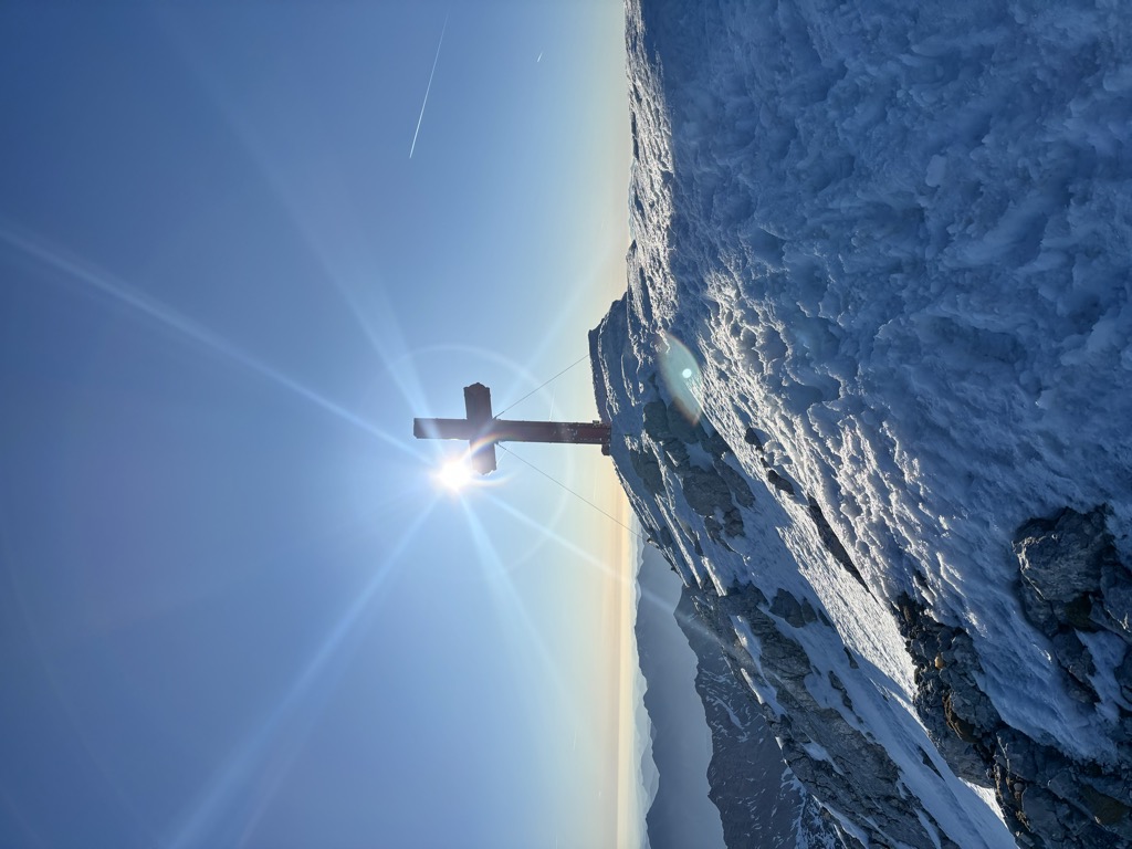
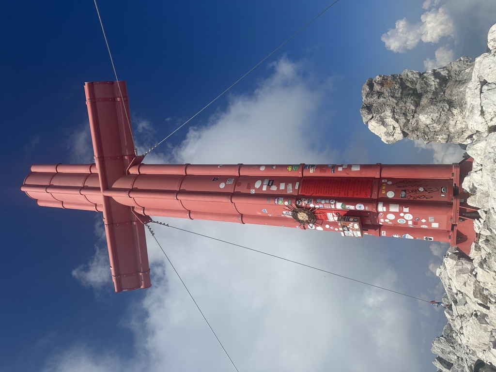
First mentioned as Pruell in a 1584 deed, it was denoted as mons altissimus totius provintzia in the 1667 map of Upper Austria by geographer Georg Matthäus Vischer. The prominent peak was also mentioned in the travelogues of Archduke John of Austria in 1810; a first touristic ascent is documented in 1817, followed by the climb of Archduke Louis of Austria in 1819. A summit cross was erected in 1870, at the time when the Totes Gebirge range was gradually opened to mountaineers by the Austrian Tourist Club.
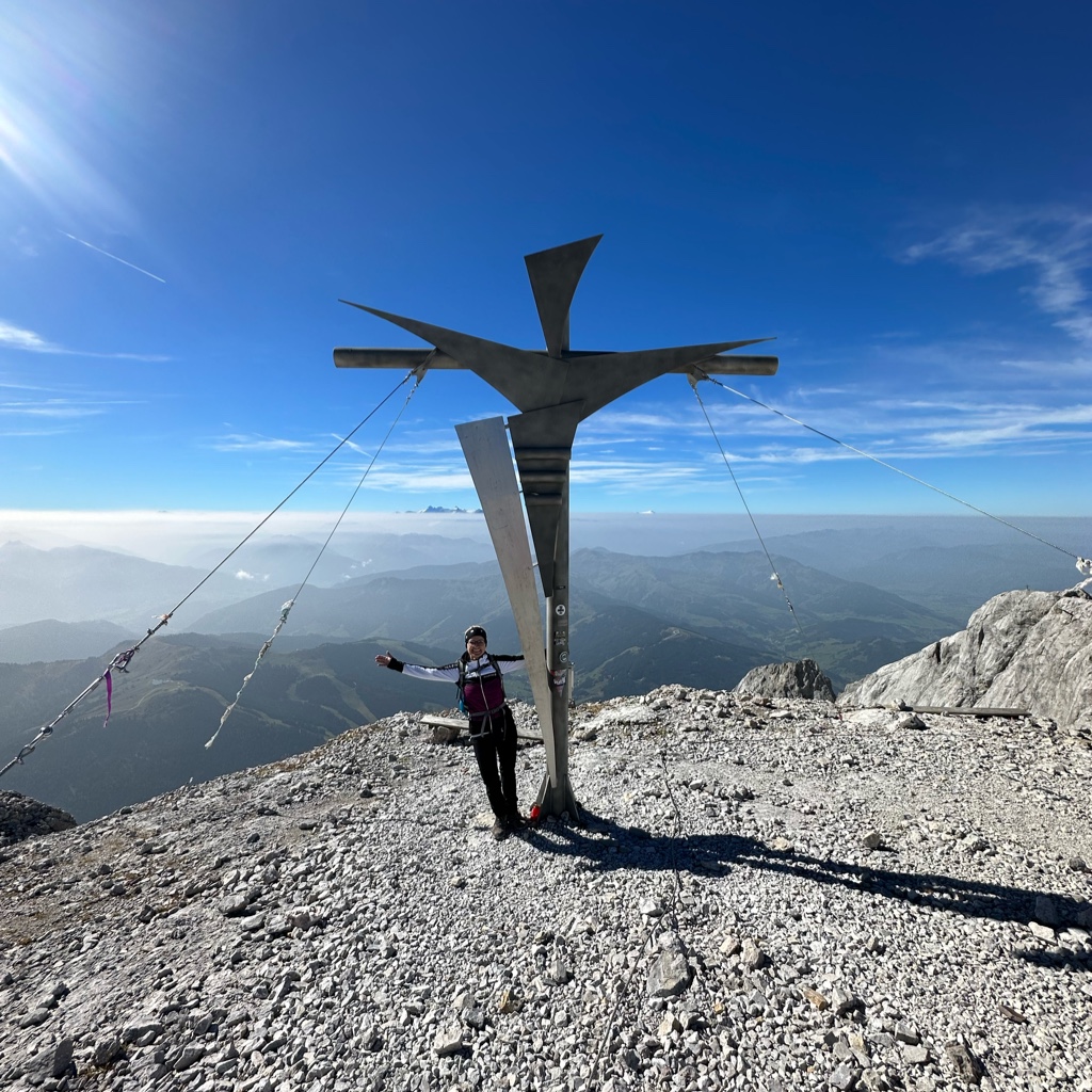
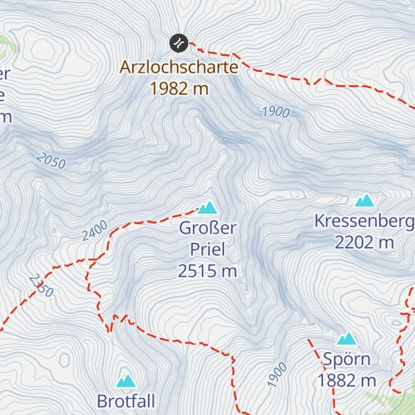
Today, the most common routes of ascent are from Hinterstoder via the Prielschutzhaus, an alpine hut managed by the Austrian Alpine Club, on the south side of the mountain, and from the Alm valley via Welser Hütte on the north side. There are also a number of paths leading from the Großer Priel summit to the rest of the Totes Gebirge plateau.
There's an alpine trail (T4) leading to the summit. Großer Priel is one of the 1 peaks along the Wanderweg 260.
The nearest mountain hut is Welser Hütte located 1 276m/4 187ft WNW of the summit.
By elevation Großer Priel is
# 24 out of 2108 in Upper Austria # 1 out of 465 in Kirchdorf an der Krems # 24 out of 767 in Gmunden # 1 out of 609 in the Totes Gebirge # 34 out of 2301 in the Salzkammergut and Upper Austria Alps
By prominence Großer Priel is
# 24 out of 60693 in the Alps # 2 out of 2108 in Upper Austria # 6 out of 23502 in Austria # 1 out of 465 in Kirchdorf an der Krems # 2 out of 767 in Gmunden # 1 out of 609 in the Totes Gebirge # 2 out of 2301 in the Salzkammergut and Upper Austria Alps
We use GPS information embedded into the photo when it is available.
3D mountains overlay
Adjust mountain panorama to perfectly match your photos because recorded by camera photo position might be imprecise.
Move tool
Rotate tool
Zoom
More customization
Choose which peak labels should make into the final photo and what photo title should be.
Next
Photo Location
Satellitte
Flat map
Relief map
Latitude
Longitude
Altitude
OR
Latitude
°'''
Longitude
°'''
Apply
Register Peak
Peak Name
Latitude
Longitude
Altitude
Register
Teleport
PeakVisor
This 3D model of Sagarmatha National Park in Nepal was made using the PeakVisor app topographic data. The mobile app features higher precision models worldwide, more topographic details, and works offline. Download PeakVisor maps today.
Download OBJ model
PeakVisor
The download should start shortly. If you find it useful please consider supporting the PeakVisor app.
PeakVisor for iOS and Android
Be a superhero of outdoor navigation with state-of-the-art 3D maps and mountain identification in the palm of your hand!