Get PeakVisor App
Sign In
Search by GPS coordinates
- Latitude
- ° ' ''
- Longitude
- ° ' ''
- Units of Length

Yes
Cancel
❤ Wishlist ×
Choose
Delete
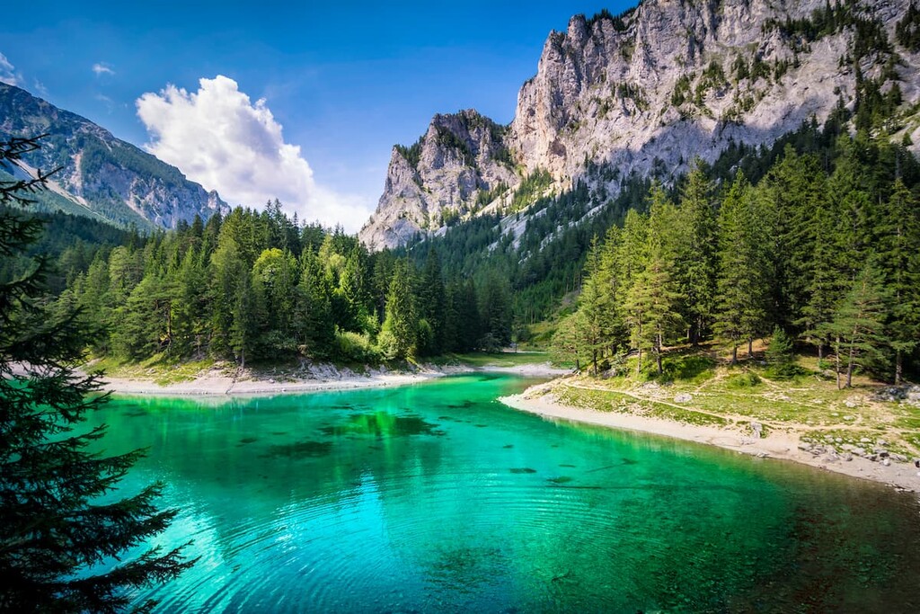
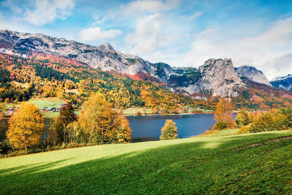
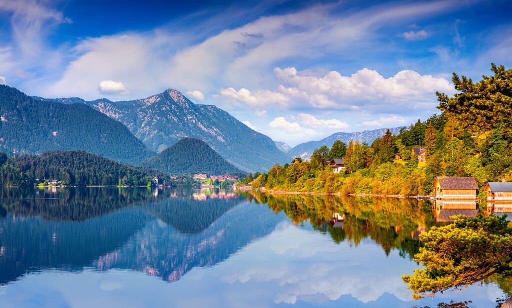
The state of Styria in Austria is renowned for its nature, protected areas, and outdoor recreation. It’s nicknamed “the green heart of Austria” for good reason – the state is home to the Northern Styrian Alps, numerous forests, rolling hills in the south, Gesäuse National Park, seven nature parks, and an astonishing 4817 named peaks. Hoher Dachstein, situated on the Upper Austria, Styria, and Salzburg border, is the tallest (2,995 m / 9,826 ft) and most prominent (2,139 m / 7,018 ft) mountain.
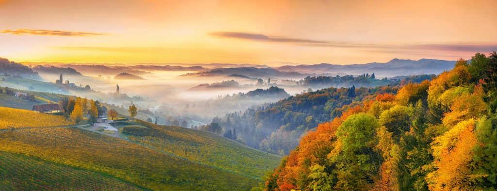
Styria, located in the country’s southeast, is one of Austria’s nine states. Nicknamed “the green heart of Austria,” it’s home to more than 750 mountains over 2,000 m (6,560 ft), thick forests, vineyards in the south, rich river valleys, and over 100 km (60 mi) of ski slopes.
Styria’s capital is Graz, a city steeped in history and home to two UNESCO World Heritage sites. The state is bordered by Carinthia, Salzburg, Upper Austria, Lower Austria, and Burgenland.
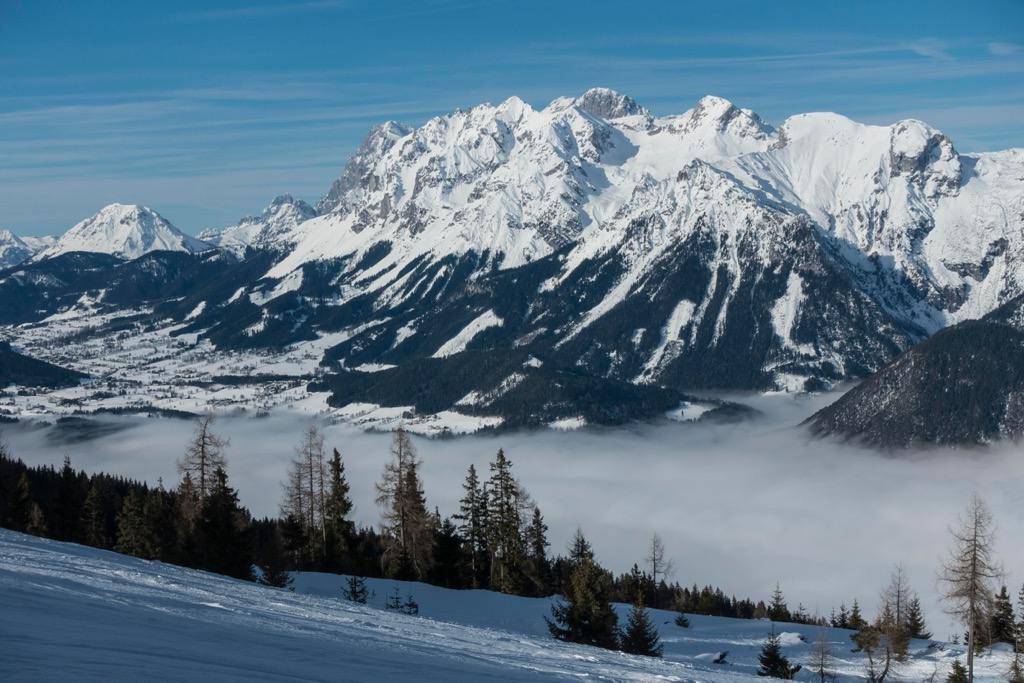
Upper Styria reaches from the Limestone Alps to the eastern portion of the Central Alps, encompassing the Mur, Mürz, Salza, and Upper Enns river valleys. Lower Styria contains Mur Valley and the Grazerfeld plain in the center, the Koralpe and Packalpe to the west, and rolling hills to the east. The Mur River runs 300 km (186 mi) through Styria and is the longest in the state.
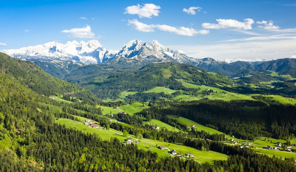
Styria has one national park, Gesäuse National Park, and seven nature parks. The enormous Dachstein massif is found in the north and contains Styria’s tallest peak, Hoher Dachstein (2,995 m / 9,826 ft).
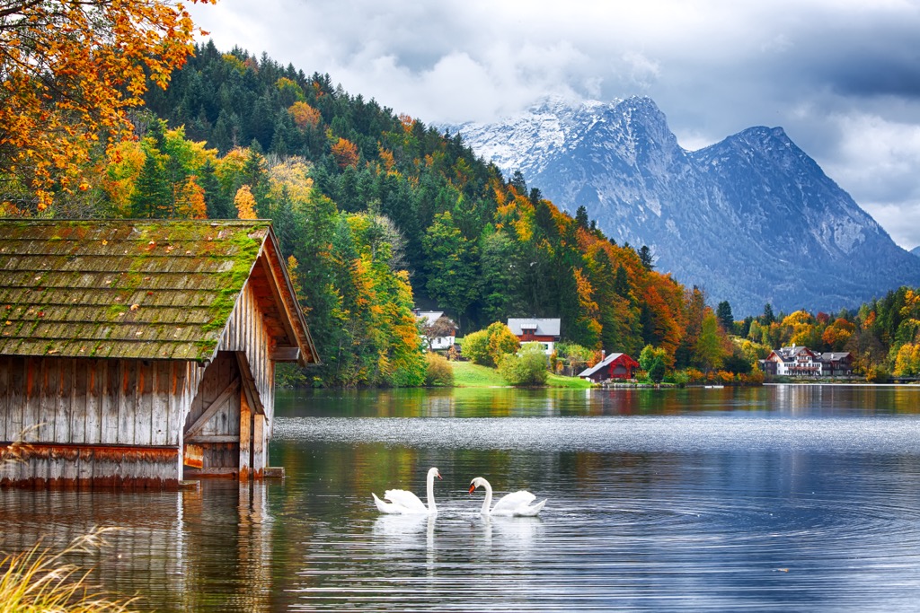
The Dachstein massif is over 20 km (12.4 mi) long, with dozens of peaks towering over 2,500 m (8,200 ft) and glaciers nestled along the upper slopes. Sitting on the border of Upper Austria and Styria with a portion extending into Salzburg, the Dachstein is nicknamed the “three-state mountain” (Drei-Länder-Berg). It’s also home to the Dachstein Glacier ski resort, as well as Krippenstein's freeride-oriented lift system.
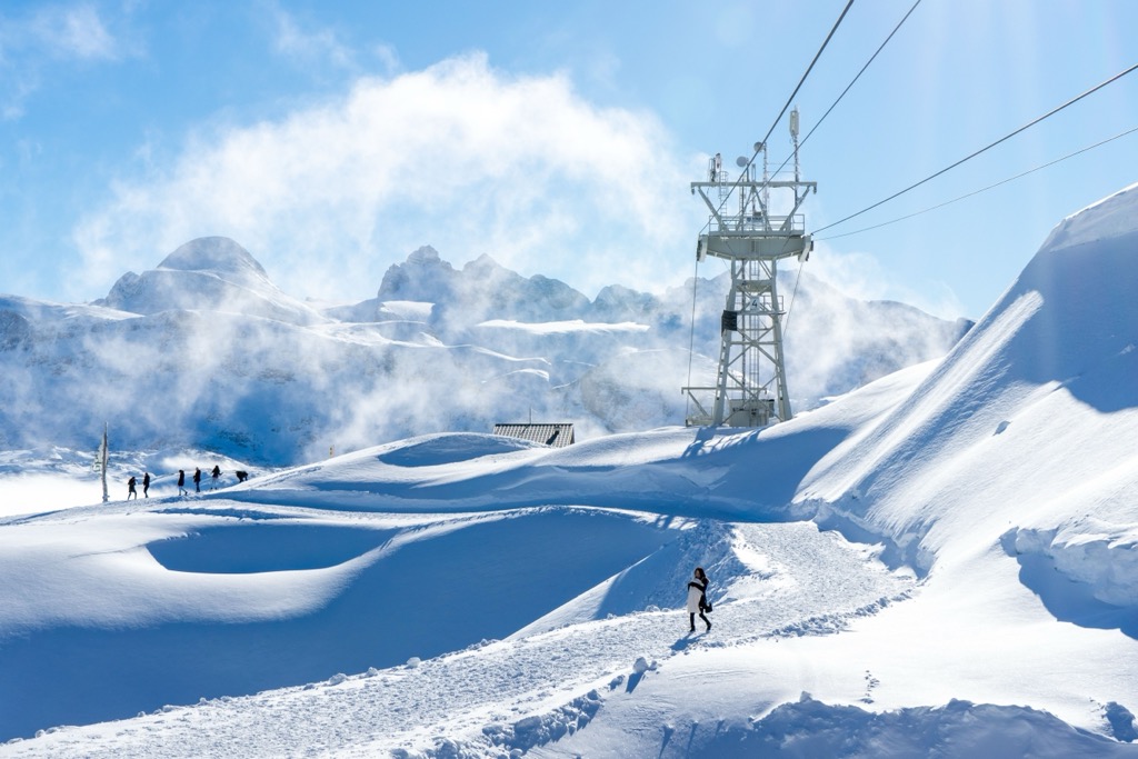
The mountainous northern region of Styria is part of the Northern Limestone Alps and is highly karstic, meaning it contains numerous caves, springs, and sinkholes. Limestone, dolomite, marl, and sandstone are this range's most common rock types. Gesäuse National Park houses limestone mountains of the Reichenstein, Buchstein, and Hochtor Group. By comparison, the Central Alps contain more granites, gneisses, and slates.
The Alps began forming millions of years ago as the African tectonic plate collided with the European plate, closing the ancient Tethys Sea and uplifting the sediment-filled ocean floor. Today, the Alps continue to uplift slightly (and rebound due to shrinking glaciers) while simultaneously losing elevation due to erosion. These competing forces mean the Alps are not considered a growing range.
During the Pleistocene, glaciers advanced and retreated across the landscape, grinding down rock, leaving behind moraines, and carving out U-shaped valleys. During periods of glacial retreat, rivers wore down V-shaped gorges.
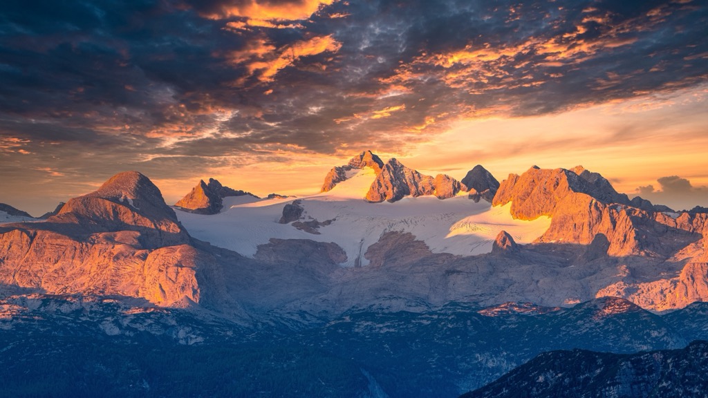
One of Styria’s nature parks, Eisenwurzen, is a UNESCO Global Geopark. Part of the Northern Calcareous Alps of the Eastern Alps, the 586 sq km (226 sq mi) park highlights some of the region’s most iconic geological events, such as a clear boundary between Cretaceous and Tertiary rock layers. Mesozoic limestones and dolomites dominate and contain coral and mollusk fossils. Eisenwurzen offers a whitewater rafting geology option to experience and learn about the karstic landscape firsthand.
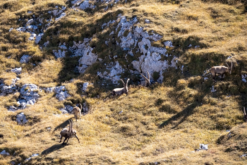
Famous for its rugged peaks, thick forest, and numerous river valleys, Styria is home to a wide array of ecosystems and wildlife. Gesäuse National Park, situated along the River Enns, is home to a rich collection of endemic plants, insects and arachnids, as well as chamois, golden eagles, red deer, otters, alpine marmots, graylings, tiger beetles, dippers, and gray wagtails. More than 1,230 butterfly species have been recorded in total.
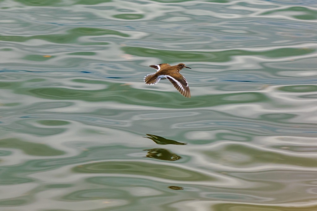
The River Enns' gravel banks and small islands are an essential breeding ground for rare sandpipers. The park's notable flora includes the northeast alpine poppy, the graceful common pink, and the subalpine Austrian bellflower. More than 50 species of orchids grow in the park.
Swiss pine (Pinus cembra) is one common tree species across Styria’s forests. These pines live hundreds of years, grow over 20 m (65 ft) tall, and produce high-quality wood. Spruce and pine-larch forests often extend into the subalpine zone and are replaced by sedge grasslands at higher elevations. Alpine roses of the Rhododendron family and alpine azalea grow at higher elevations along some of the mountain slopes.
Styria has seven nature parks – Eisenwurzen, Mürzer Oberland, Almenland, Pöllauer Tal, Southern Styria, Sölktäler, and Zirbitzkogel-Grenzen.
Styria has been home to humans for thousands of years. Some of the earliest inhabitants lived during the Stone Age, and mining occurred as far back as the Bronze Age. For a time, the region was part of Noricum, a Celtic kingdom, before it fell under the rule of the Roman Empire around 15 BC.
During the 5th century, Germanic tribes thrived, followed by the Avars and their Slav subjects. The 8th century saw the region fall under the rule of the Bavarians. Germanic colonization and influence remained strong, asserting itself as the dominant culture by 1300, except in the southern countryside.
In 1180, the region became the duchy of Steiermark, or Styria. It passed to the Babenburg line from 1192 to 1246. In 1276, the duchy was ceded to the Habsburgs and became crown land in 1282. Many cities and towns throughout Styria boast historic architecture, keeping the past close even in the modern era.
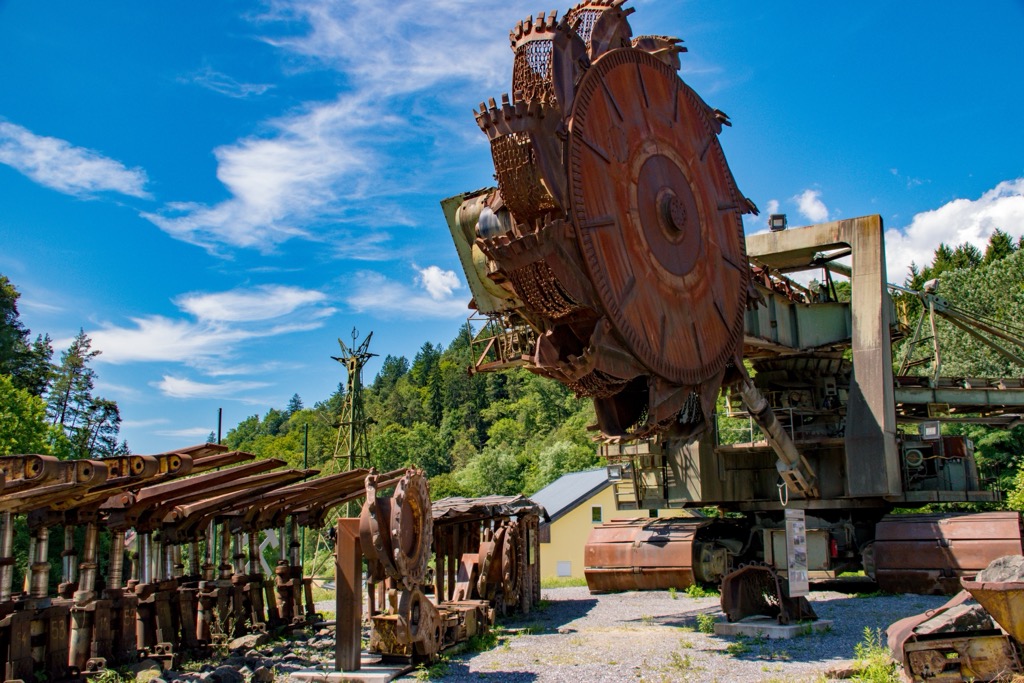
Iron ore mining is common, and there are mining projects for graphite, talc, gypsum, and salt throughout the region, although none are within protected areas. Hydroelectric plants on the Mur and other rivers generate the region’s power.
Tourism is the most significant driver of Styria’s mountain economy today. However, many traditional small farms continue raising cattle and sheep, as one can see when visiting small towns across the region.
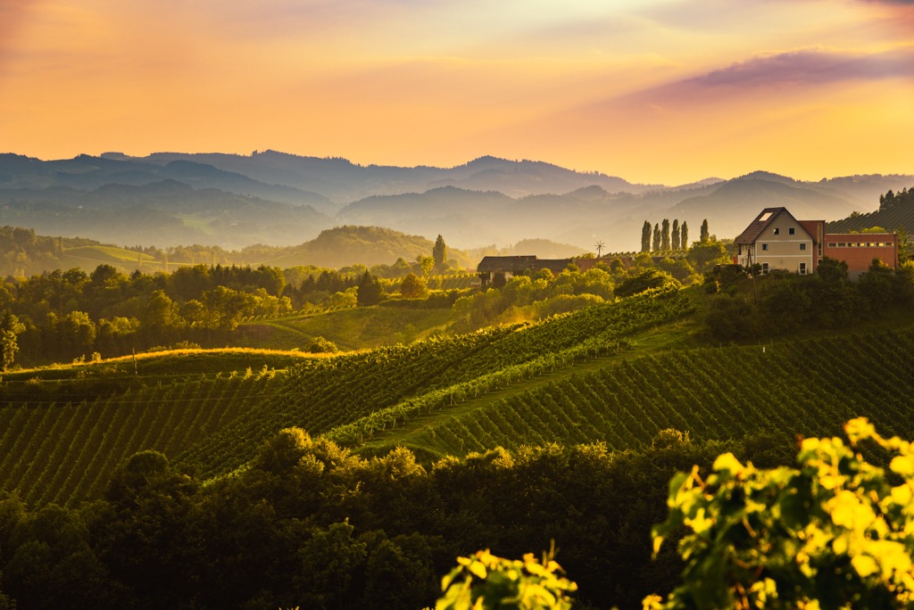
Styria offers a wide range of outdoor recreation options, including the Dachstein massif, the Schladminger Tauern mountain range, Gesäuse National Park, and Hochschwab, to name just a few. The region also has nearly 350 mountain huts, offering a lifetime’s worth of exploration. A complete list of hikes, via ferratas, and alpine routes can be found on the state’s tourism page.
This impressive via ferrata combines the Schulter climb and the Randkluft path to reach the top of the Hoher Dachstein. Reaching the trailhead requires only a short ride up the Dachstein Gondola.
From the top of the Dachstein cable car, follow a well-maintained path to the Seetalerhütte. From there, the 5.5 km (3.4 mi) route begins with approximately a half-hour walk along a glacier path to reach the base of the north face. From there, the Randkluftsteig portion begins, supported by rungs and cables. To descend, one can return as they came or via the Hunerschartensteig further down the valley.
The route is best completed from July through October. Visitors should use proper equipment to cross the glacier and watch for crevasses.
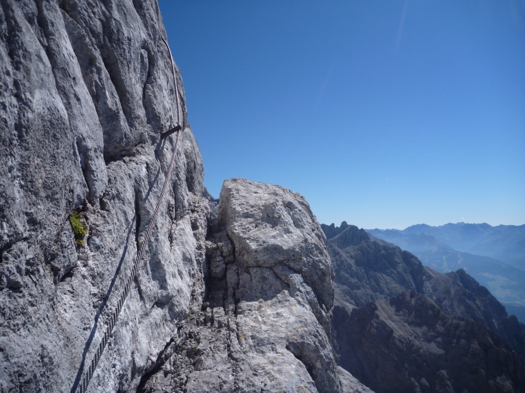
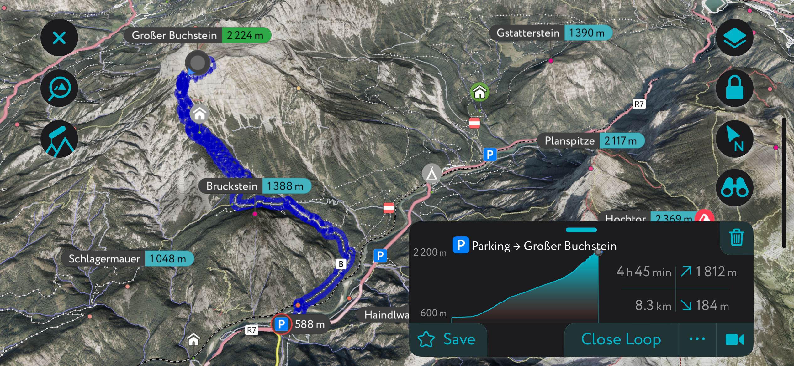
A challenging but rewarding hike with climbing components, a visit to Großer Buchstein (2,224 m / 7,297 ft) is worth the effort whether you fully summit or stop shy of the climbing portion. Once above the treeline, the trail opens up to sweeping views and alpine scrambles rated as 1 or 2 on a climbing scale.
A great way to complete this trail is to pair it with an overnight stay in the Buchsteinhaus when coming from Gstatterboden. The route is 18.3 km (11.4 mi) out and back, with nearly 1,675 m (5,500 ft) of elevation gain. Climbing gear, such as helmets and ropes for the less experienced, is recommended on any summit attempt.
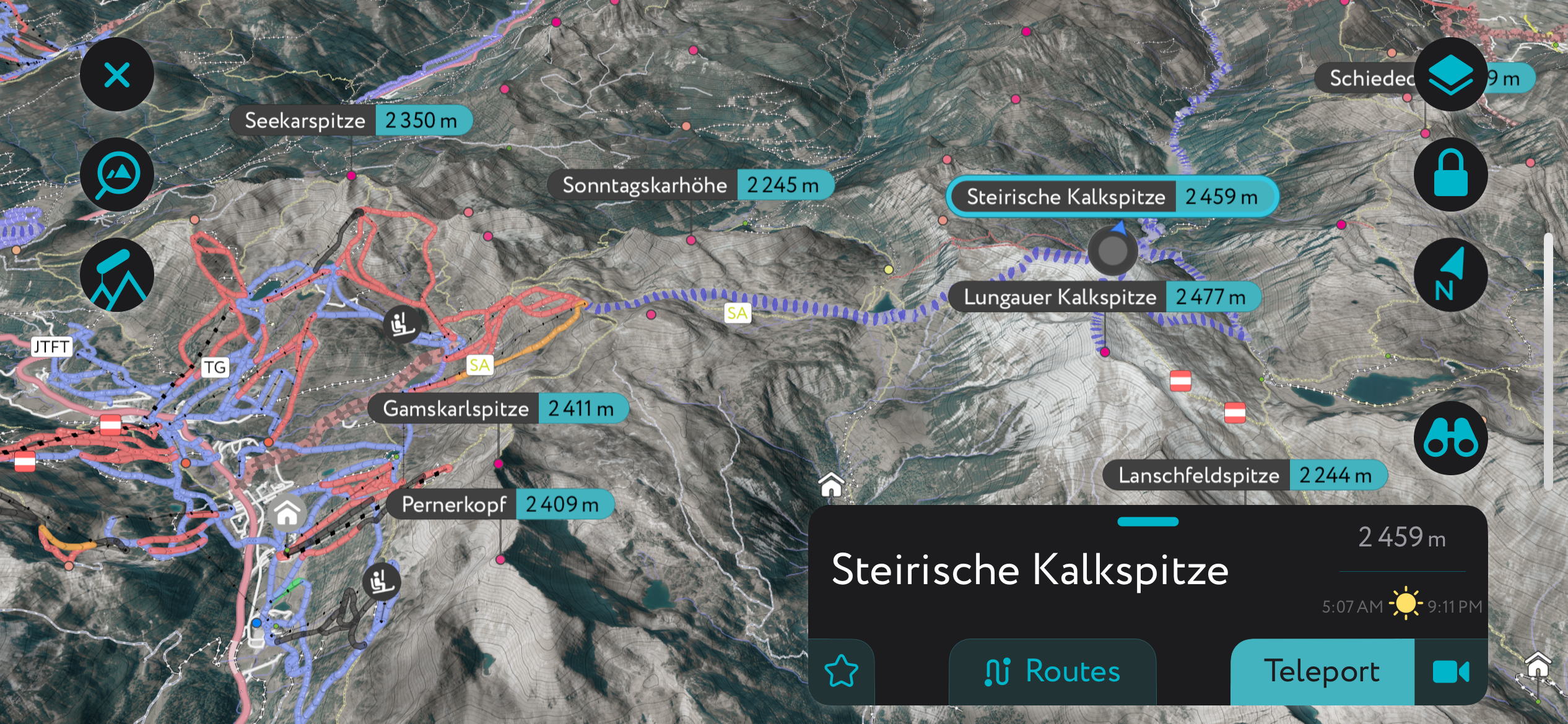
The Styria (Steirische in German) Kalkspitze (2,459m / 8,068 ft) is a peak located on the Styria-Salzburg border. Skiers can approach the summit from either Styria or Obertauern Ski Resort in Salzburg. The approach from Obertrauern is more popular, as the lifts chop off most of the vertical; it’s just a few hundred meters left from here to the summit.
From the Styrian side, it’s about a four-hour valley approach from the hamlet of Preunegg, just outside Schladming. However, the valley has a number of places to stop and eat, as well as mountain huts, and you can also drive this if snow conditions allow.
Once on the Kalkspitze, descent options range in all directions. Generally, the north face is the steepest option, while the west, south, and east faces are mellower.
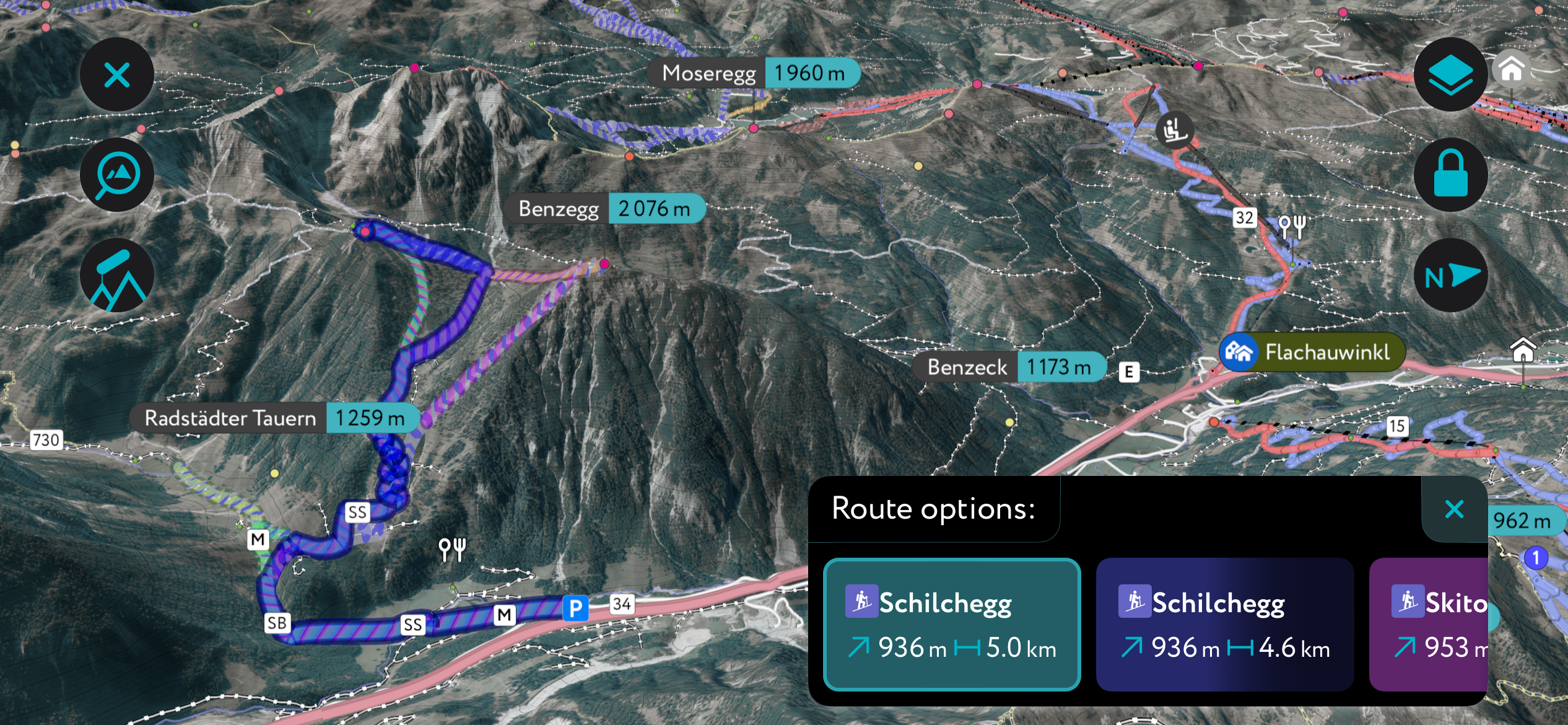
These two peaks are right next to each other, just across the border from Styria in Salzburg. To reach the summit, you’ll have to climb about 1,000m (3,300 ft) from the parking lot. For the descent, you’ll have to take either south- or east-facing slopes to return to the car; heading west will take you far away.
It’s couloirs and open tree skiing abound on the upper slopes. Because the tour starts at 1,100 m (3,600 ft), you can usually skin the entire way to and from the car. For catching the approach with snow and descending with the southerly aspects, this route is best as a mid-winter tour rather than a spring mission.
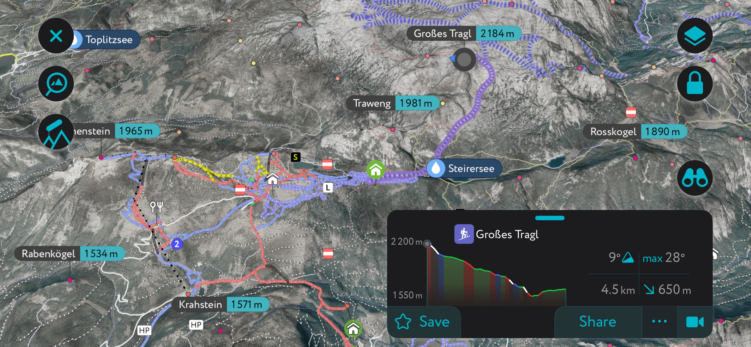
The summit of Großes Tragl is a popular ski tour from Styria’s largest ski resort, Tauplitz. You’ll trade solitude for ease of access, as the lifts can shave off 500 m (1,650 ft) of climbing. There’s a mountain hut at the start called the Linzer Tauplitz-Haus. From there, it’s about 650 m (2,000 ft) to the summit. The approach and descent are generally south-facing if you plan to return to Tauplitz. Therefore, it’s an excellent tour to sample corn snow, but it won’t hold powder as long as the northern faces.
The area also features many more ski tours around the Großer Priel and Großer Hochkasten, just north of Großes Tragl. There’s much to explore here; just check out the PeakVisor app for a lifetime of ideas!
Tauplitz is Styria’s largest ski area, with 43 km (27 mi) of slopes spread across the three mountains Mitterstein, Lawinenstein, and Schneiderkogel. It is ideally situated in one of the snowiest parts of the Alps.
In addition to the groomed trails, there are plenty of free riding options. You can round out the ski experience by recovering in one of the thermal baths at Heilbrunn or Bad Mitterndorf.
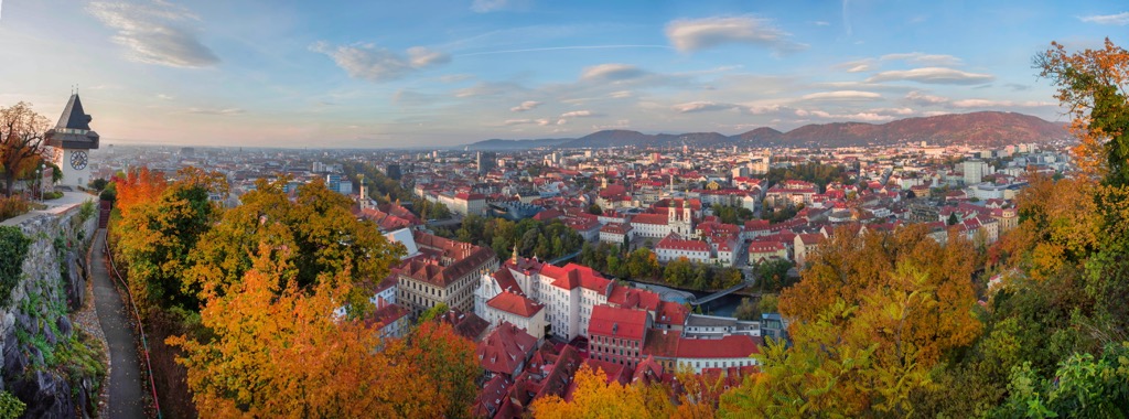
Graz, Styria’s capital, has an international airport, a rich blend of historic and modern architecture, and two UNESCO World Heritage sites. Schladming is a town in the northeast and a great base for accessing some of Styria’s most iconic outdoor destinations. It’s situated near the Dachstein massif, allowing easy access to the numerous trails and via ferratas, and only about a thirty-minute drive from the famous Tauplitz ski complex.
The capital of Styria, Graz, has a population of around 285,000 and is Austria’s second-biggest city. It’s home to several universities and contains a rich mix of Renaissance and Baroque architecture and modern structures such as the artificial floating island Murinsel.
The historic center and the Eggenberg Castle are UNESCO World Heritage Sites accessible by solo or guided tours. Situated near the boundary of the northern Alp zone and the flatter valleys and vineyards of the south, the city experiences a mild climate. It offers plenty of local produce and artisan products, as well as a robust dining and nightlife scene.
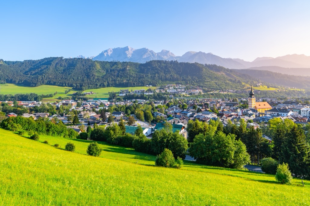
Schladming has a small year-round population of around 6,000 but is well-known as a ski town in winter. It is only 30 minutes from Tauplitz and proximate to Dachstein and all its trails in the north.
The town is an outdoor lover’s dream, surrounded by other small villages and towns with hotels, restaurants, and campsites. It’s close to the border with the state of Salzburg, and a visit to the picturesque town of Hallstatt, Lake Hallstatt, and the nearby historic salt mines is a popular day trip from the area.
Explore Styria with the PeakVisor 3D Map and identify its summits.

