
You can now browse a crag's sectors and routes in PeakVisor, check grades and lengths, and read route descriptions alongside the map. Where available, photos and approach notes help you decide what to climb before you head out. You can explore the routes in the app or on the web, then share the crag with your climbing partner.
At Rocca Sbarua near Turin, for example, you can browse 111 routes across 19 sectors. Of those routes, 98 have written descriptions and 66 have photos. Choose a sector to see its routes, then open one for a closer look.
Choose a route in the app
Open a crag in the app to check the grade range, route count, wall aspect and weather. Browse its photos and description, then tap the routes button to see what you might like to climb.
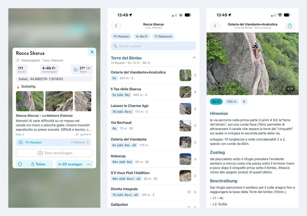
Routes are grouped by sector. Each sector's summary shows the route count, grade range and aspect, so you can decide which ones to explore. Expand a sector to compare individual routes by grade and length, or search by name to find a climb you already have in mind.
Routes keep their original grading system, with obligatory and aid grades shown where provided. For example, 7b (obl. 6a+) keeps both the free-climbing and obligatory grades visible.
Open a route to see its details and any available photos and description, including approach, pitches and descent. Descriptions from gulliver.it are shown in the original Italian, with a link to the source.
Browse routes on the hiking map
On the hiking map, click a crag to explore its routes while keeping the surrounding terrain in view.
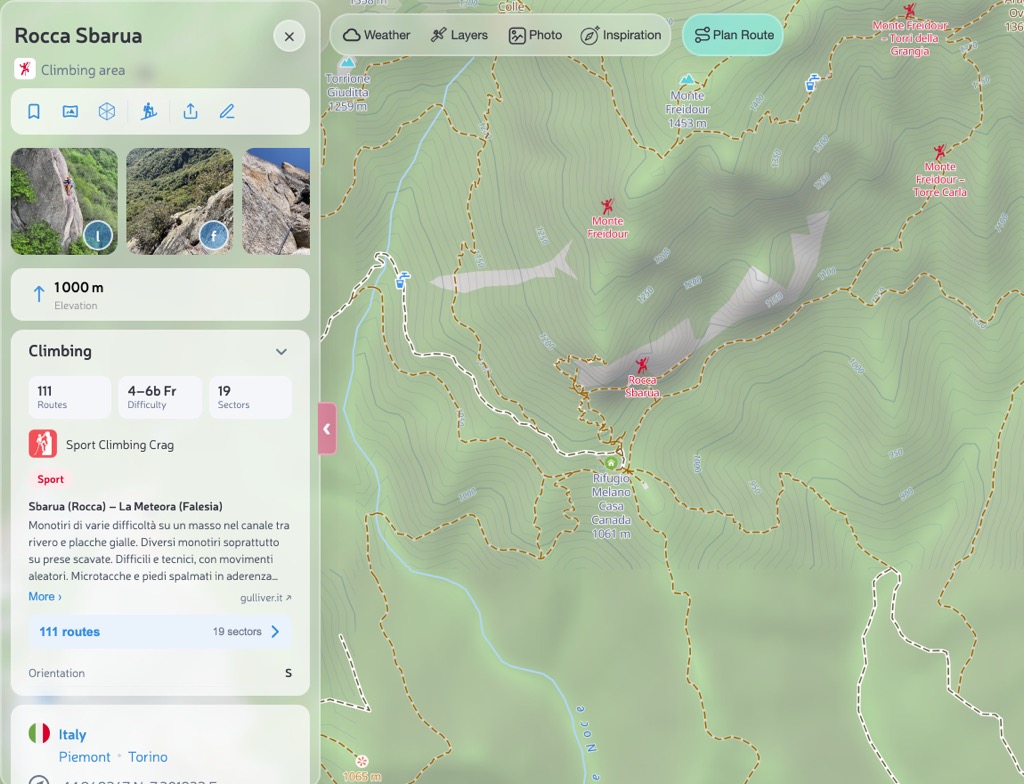
At Rocca Sbarua, click 111 routes to open the list. You can expand sectors, search for a route and read its details without leaving the map.
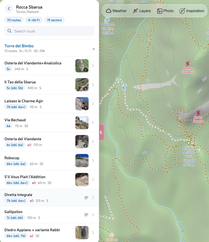
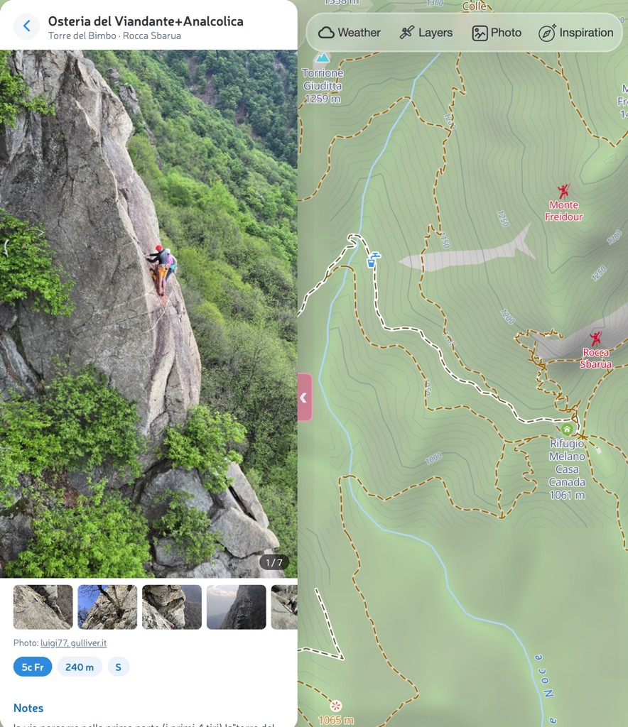
Open a route to read the description and browse the photos. Return to the list to look at another climb in the same sector.
Share a crag with your climbing partner
Send your climbing partner a link to Rocca Sbarua so they can browse the routes too. It opens the crag on the map in their browser, without an account or app installation. Crags also have their own pages where you can read the description and open the route list.
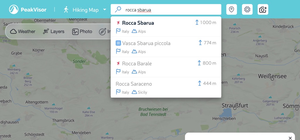
You can also find a crag by typing its name into the PeakVisor search box. Select the result to open it on the map or visit its page, depending on where you're browsing.
Compare places to climb
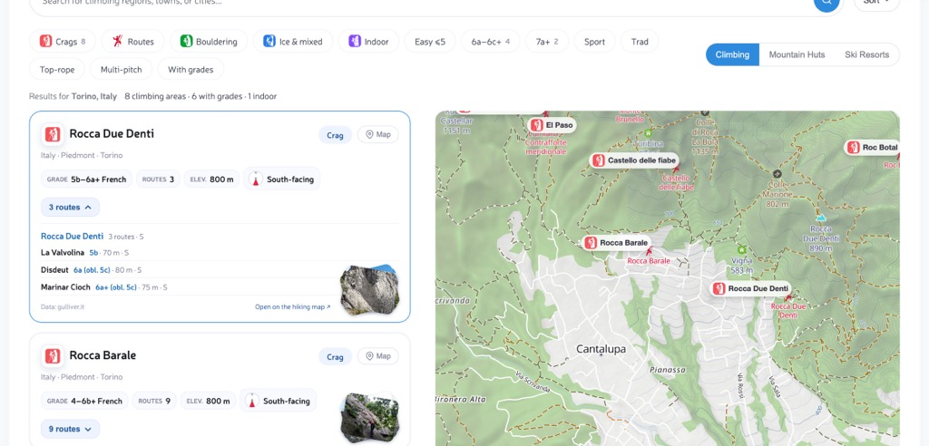
To choose an area for your next trip, browse climbing around Turin or another region. You can open route lists directly in the results and compare two crags without leaving the page. Use the filters to narrow your search by difficulty, climbing discipline or rock type.
Each result gives an overview of the crag. A compass diagram shows which way the wall faces, with a written label such as South-facing alongside it.
Explore boulders, circuits and climbing towers
You can browse boulder problems and climbing towers as well as sport crags. Here are a few places to explore:
- Rocher Canon in Fontainebleau: 522 problems grouped across 167 boulders, with Fontainebleau grades.
- Circuit Rouge de Maincourt: 132 boulder problems grouped as a circuit.
- Rabštejn in Czechia: 267 routes across its towers and crags, with UIAA grades.
- Randers topp in Norway: 34 routes with Norwegian grades, mapped as lines on the wall.
- Chironico: browse the boulders and their problems.
At Liliensteinnadel in Saxon Switzerland, you can explore the surrounding Gebiet der Steine climbing area and open any of its other 45 summits and crags from the list.
Sources and coverage
Climbing information comes from community mapping in OpenStreetMap and route information from gulliver.it, including photos and descriptions of climbs in Italy and France. Photos carry photographer credits, and descriptions link to the original pages. The amount of detail varies by location; some routes have grades and lengths but no photos or written description.
If you know a crag well, you can help improve its coverage by contributing missing routes, sectors or grades to OpenStreetMap.
Open a crag on the hiking map or use climbing search to compare places for your next trip.