
Scan the QR code and open PeakVisor on your phone
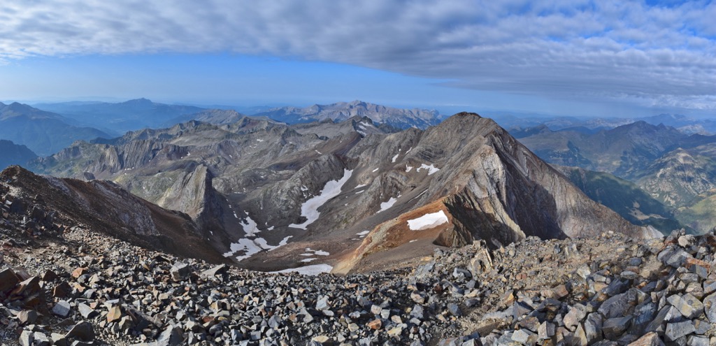
The Pyrenees include 19,465 named peaks. The highest is Pico de Aneto at 3,404 m. Other notable peaks include Pico de Posets, Monte Perdido and Punta de Astorg.
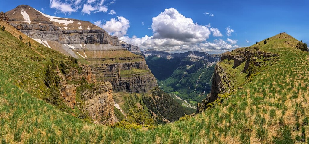
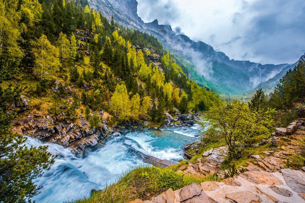
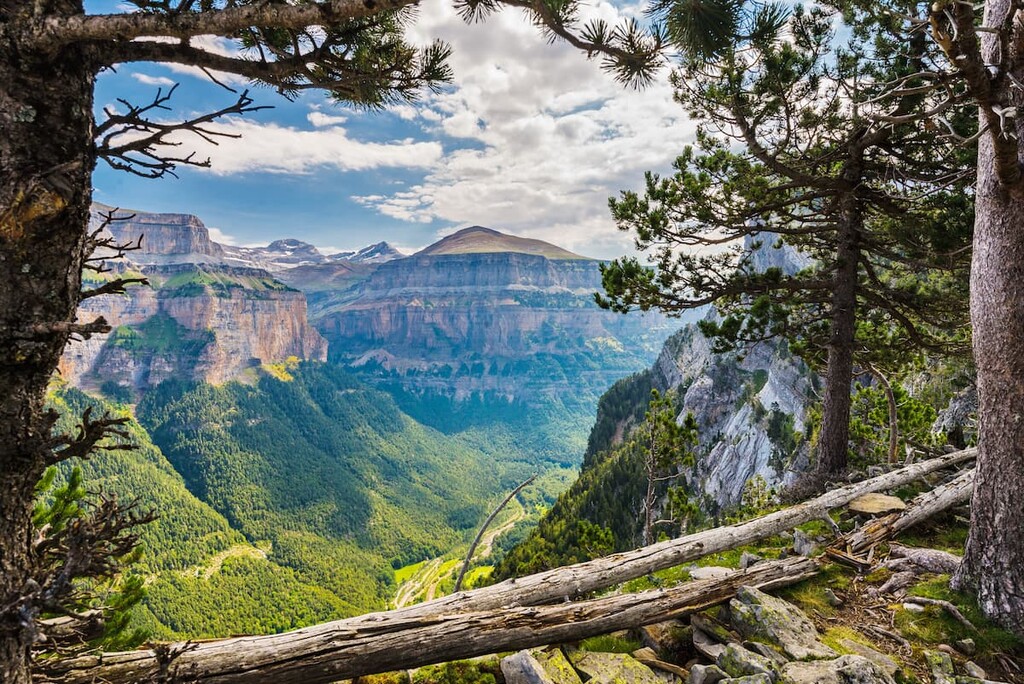
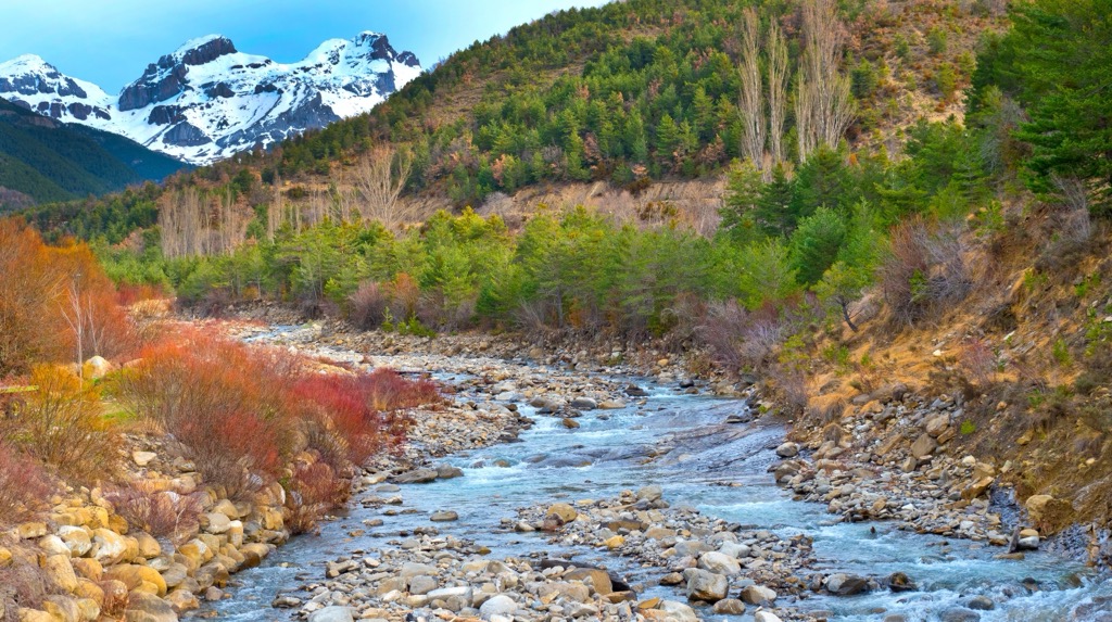
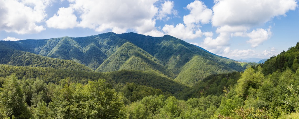
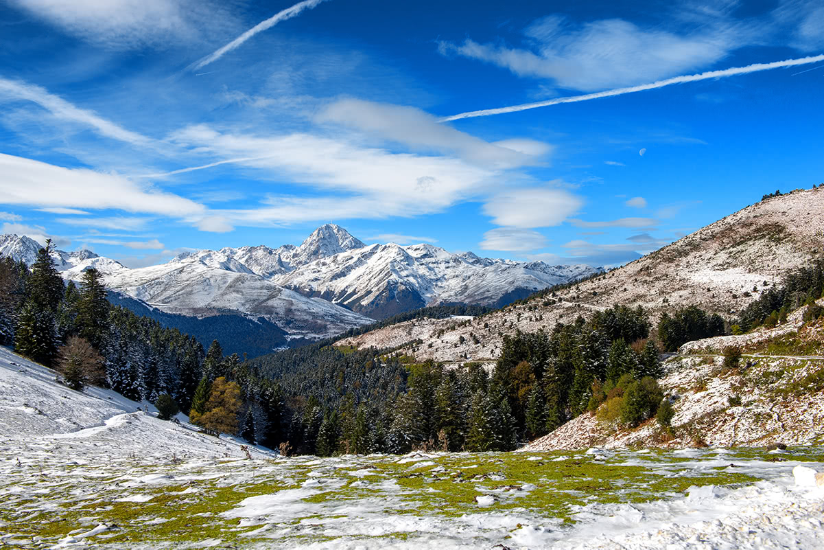
The Pyrenees is one of several major mountain ranges in Europe, which is the natural border between Spain and France, and also contains the small country of Andorra as a whole. The main natural feature of the Pyrenees is the large number of mountain torrents, which form beautiful cascading waterfalls, including the Gavarnie Falls, the highest in France. In Spain, the range is mostly famous thanks to Monte Perdido, a UNESCO geological site located next door with its own waterfall, Cascada del Cinca. The main cultural feature of the range is the Basque people, with a unique language, culture, and traditions unlike anything else in Europe, which lives in both countries. There are 19465 named mountains in the Pyrenees. The highest and most prominent mountain is Pico de Aneto (3,404 m / 11,167 ft).
According to the popular version, the name Pyrenees comes from the ancient Greek goddess Pyrene, whose coronet "πῦρ" (pŷːr), in turn, means "fire".
The name of the mountains in other languages is similar to the English version, but has its own characteristics: Pyrénées in French and Pirineos in Spanish. Other interesting languages you may here in the mountain range include Occitan (Pirenèus) in France and Aragonese (Pirineus), Catalan (Pirineus), and Basque (Pirinioak) in Spain.
The Pyrenees stretch from northwest to southeast (or vice versa) on the eastern borders of the Iberian Peninsula, one of the three largest in Europe along with the Apennine (Italy as a whole) and the Balkans (Greece and other countries).
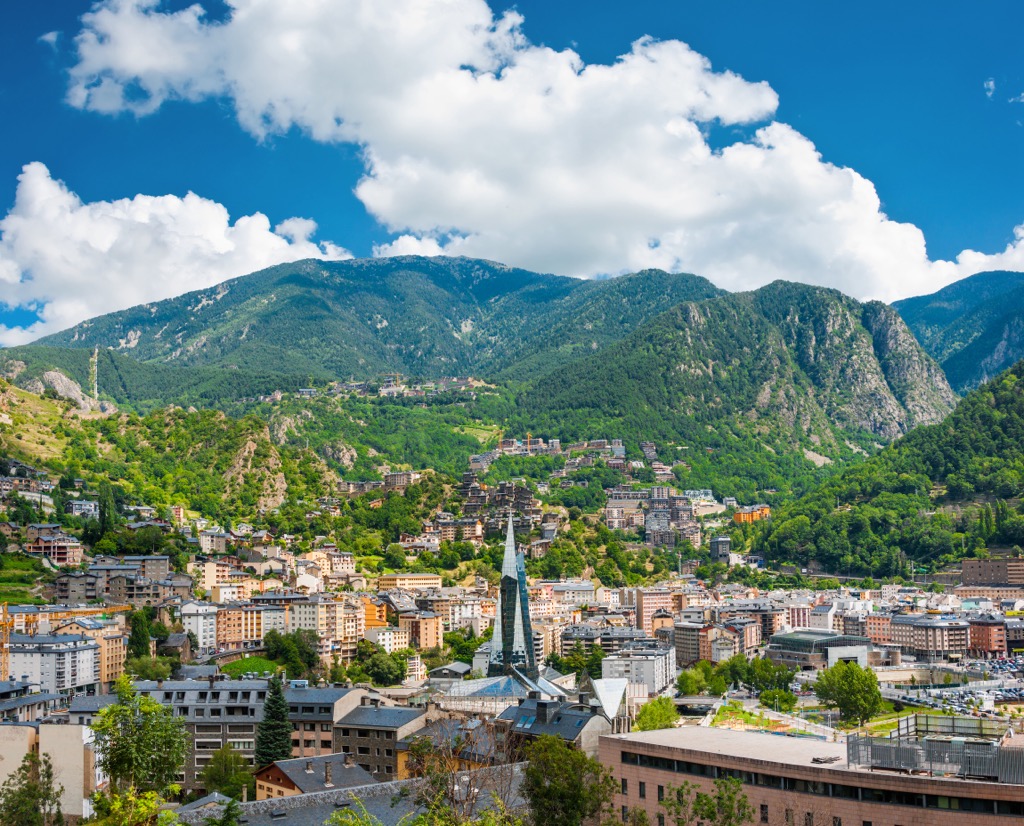
The mountains are also the natural boundary between Spain and France, and also include the small state of Andorra, which is the sixth-smallest in Europe and 16th smallest in the world with an area of 468 sq km (sq mi). However, thanks to its location in the Pyrenees, this small country is one of the 10 most mountainous countries by average height above sea level with 1,996 m (6,550 ft). In other words, when you come to Andorra you will see high mountains literally everywhere.
Most of the highest mountains in the Pyrenees are also concentrated in the eastern part of the Pyrenees, where they extend all the way to the Mediterranean coast near the city of Barcelona. On the western tip, the Pyrenees are mostly hills of about 1,500–2,000 m (4,921–6,561 ft), which also almost touch the Bay of Biscay on the Atlantic Ocean near the French town of Biarritz and San Sebastian in Spain. Here they also merge with the Basque Country mountains, the eastern part of the greater Cantabrian Mountains stretching almost all along the northern coast of Spain.
The total length of the Pyrenees is almost 500 km (310 mi), making it also one of the longest mountain ranges in Europe and the world. However, ahead of them are nearly 100 other ranges with a length of 1,000 km (621 mi) and more.
The main features of the Pyrenees landscape are:
Returning to the political map, so you can get to these mountains, the Pyrenees include the following Spanish provinces and French departments in their respective regions:
Small Andorra is also not a unified whole, but is divided into seven cities-regions called "parishes": Andorra la Vella (capital), Canillo, Encamp, Escaldes-Engordany, La Massana, Ordino, and Sant Julià de Lòria, some of which are divided into even smaller ones.
The Pyrenees arose in the Paleozoic (538 to 251 million years ago) and Mesozoic (252 to 66 million years ago) eras, as a result of the collision of the Iberian and European tectonic plates, which “moved” the modern Spanish land closer to the territory of France. The age of the Pyrenees makes it 100–150 million years older than the Alps, which means that it is geologically more interesting as its deeper rock layers can be traced.
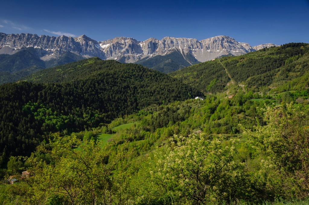
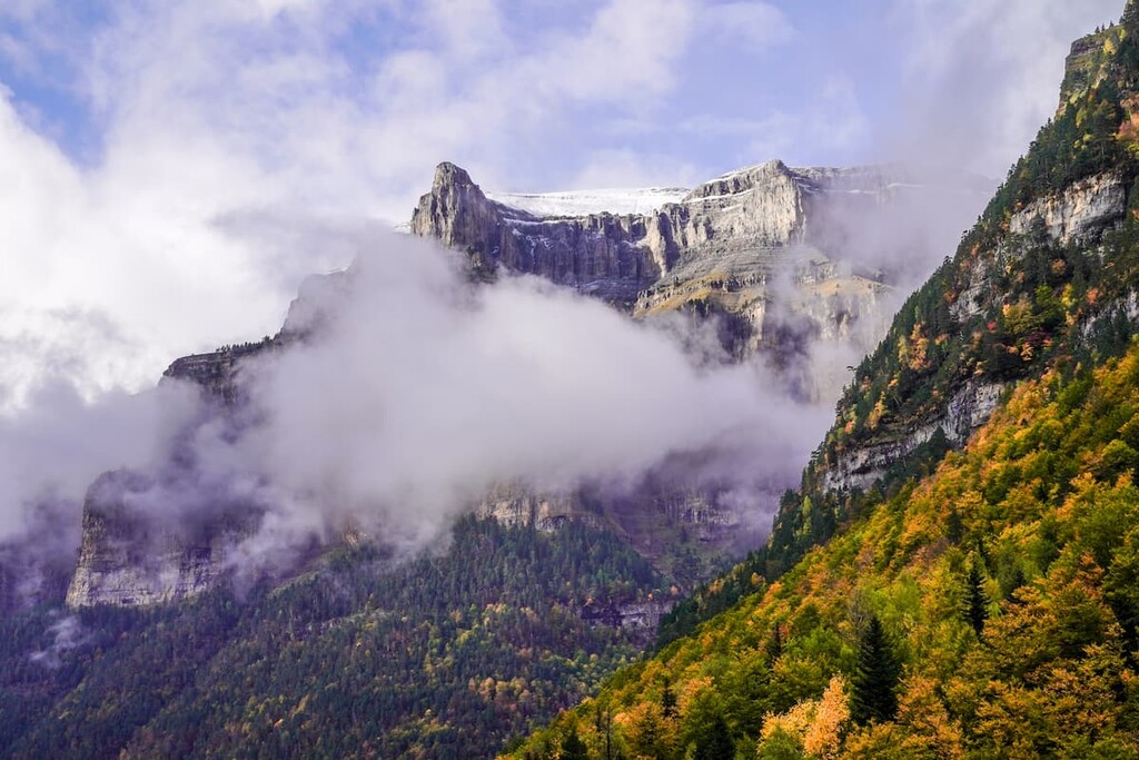
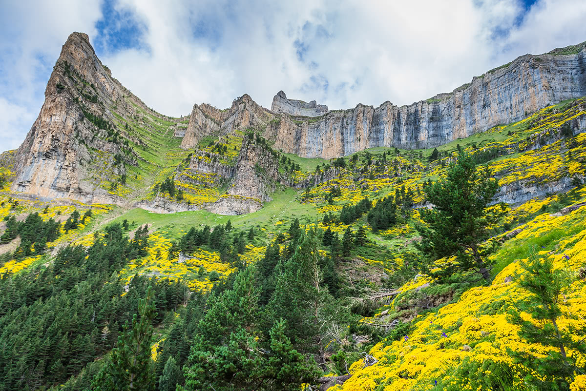
The Pyrenees consist mainly of granite and gneiss-like rocks, which have not been subjected to fusion erosion due to their dense composition. But this is 100% true only of the eastern part of the mountains. In the western part of the Pyrenees, there are also softer and more weathering limestones, which equals those of the Dolomites, for example.
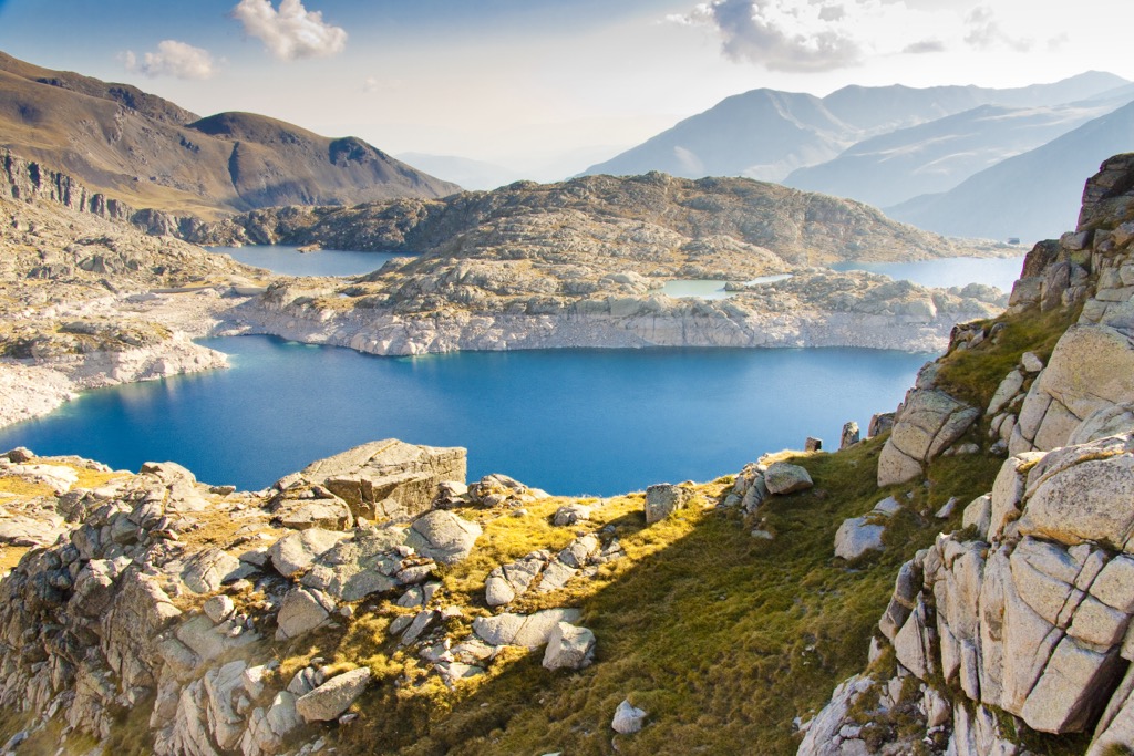
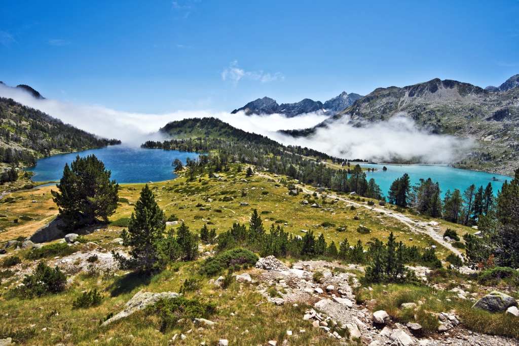
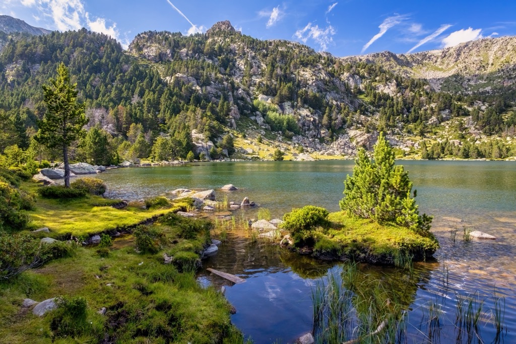
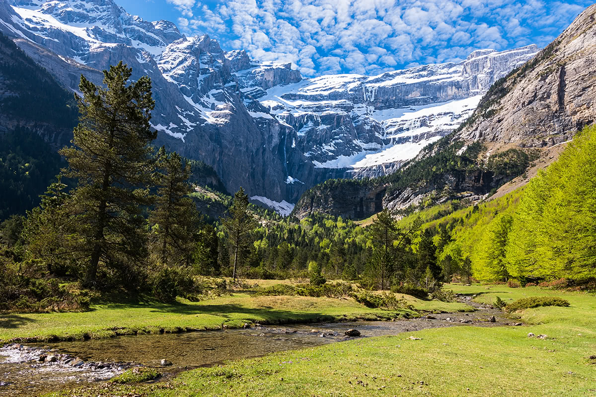
The low altitude of the mountains, up to 3,500 m (11,482 ft), also accounts for the lack of large glaciers, as well as large lakes like Como and Garda in the foothills of the Alps in Italy. However, in the eastern Pyrenees, there are tens of small mountain lakes concentrated in a small area to the north of the highest peak of the range, Pico de Aneto.
The internal division of the Pyrenees is quite complicated and confusing, but I will try to make sense of it by highlighting a few major ranges and individual peaks, leaving you space to explore them further on your own.
The Pyrenees is divided into three main parts: the Western, Central, and Eastern, of which the first and last are more accessible to travel by car and on foot.
The central part is mostly accessible only on foot. Here are concentrated the highest peaks of the range: Pico de Aneto (3,404 m / 11,168 ft) in the Maladeta sub-ridge, Pico de Posets (3,375 m / 11,073 ft), Monte Perdido (3,355 m / 11,007 ft), and others.
Then, there is a separate part of the range, the so-called Pre-Pyrenees or hills, united in sub-chains totaling more than five dozen, stretching from the Spanish Navarre region, across the northern Aragon region, and into the Catalonia region, almost reaching the Mediterranean Sea coast with summits of up to 2,600 m (8,500 ft). So in total there are three main chains: Navarre Pre-Pyrenees, Aragon Pre-Pyrenees, and Catalonia Pre-Pyrenees.
However, the only true foothill of the Pyrenees is considered Corbières Massif, located on the north side of the range with the highest point of Pic de Bugarach (1,230 m / 4,040 ft).
The main sub-ranges or groups on the southern side of the range are twice as high. Here are some examples and their respective highest peaks: Serra del Cadí in Catalonia—Vulturó (2,648 m / 8,688 ft), El Turbón in Aragon—El Turbón (2,492 m / 8,176 ft), Sierra de Leyre in Navarre—Arangoiti (1,353 m / ft).
The easternmost part of the southern slope of the Pre-Pyrenees in the Catalonia region is also distinguished in a separate chain called the Sub-Pyrenees.
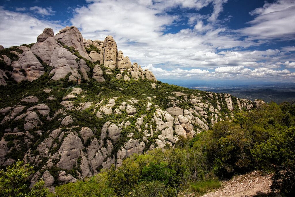
In a broader sense, the Pyrenees also include the Catalan Mediterranean System, located north and northeast of Barcelona. It is also known as the Mediterranean System, the Transversal Ibero-Pyrenaean System, and the Catalan System. It in turn includes several more sub-chains: the Catalan Transversal Range, the Catalan Coastal Range, and the Catalan Pre-Coastal Range, as well as the Catalan Central Depression, and the Catalan Coastal Depression.
Last but not least, based on political geography, you may also find yourself in the French Pyrénées, the Spanish Pyrénées, or the Pyrénées of Andorra, but most probably in their Spanish part, which is the largest and most associated with these mountains. In other words, the Pyrenees are more Spanish mountains than the French, where the Alps are more popular, or Andorra, which you may not even have known existed before.
In addition to the highest peak of the Pyrenees, Pico de Aneto, among the individual major mountains are the following several:
Among other important massifs and mountains in both countries, Balaïtous, Néouvielle Massif, Montcalm Massif, Gran Encantat, Punta Alta de Comalesbienes, Puigmal, Pic du Canigou, Montseny Massif, and others should also be mentioned.
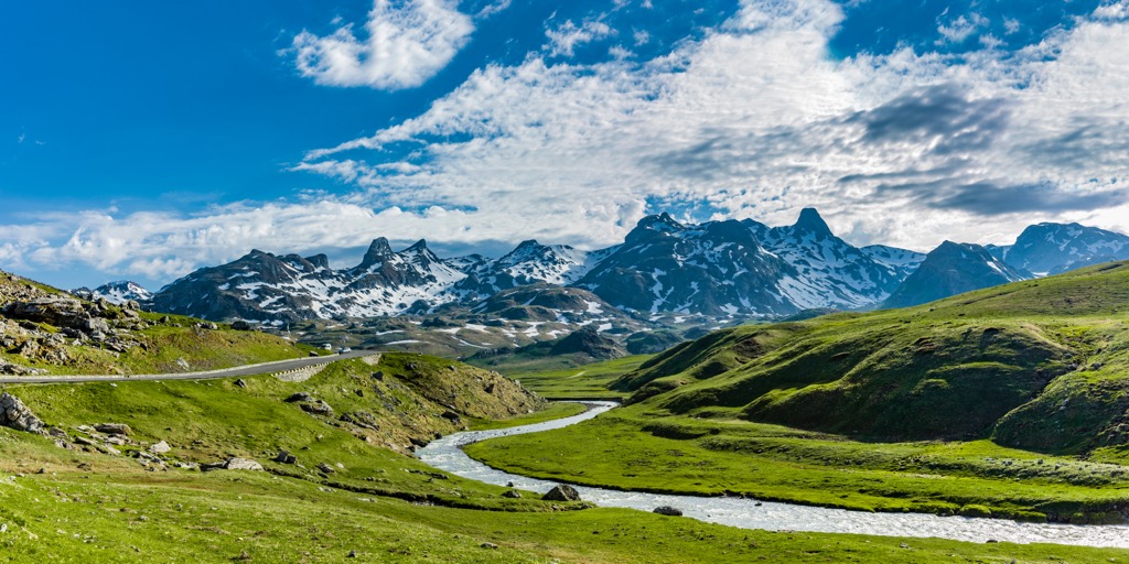
In the Pyrenees, which is almost 500 km (310 mi) long, you will find a large number of natural areas for hiking, as well as several well-known long hiking trails. Next I will tell you briefly about the most important ones.
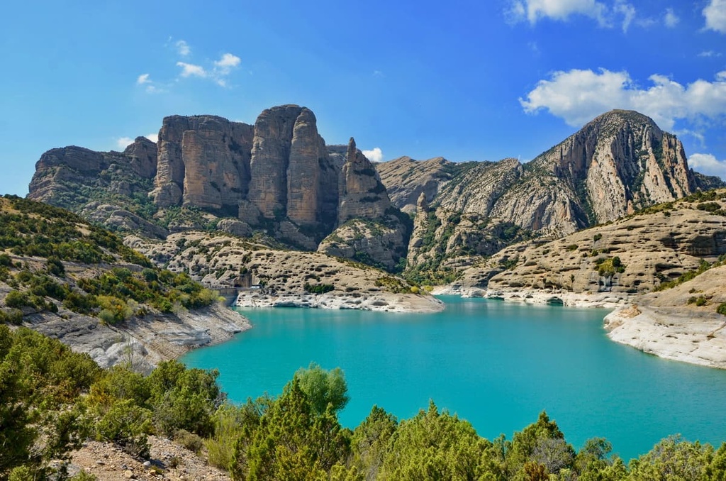
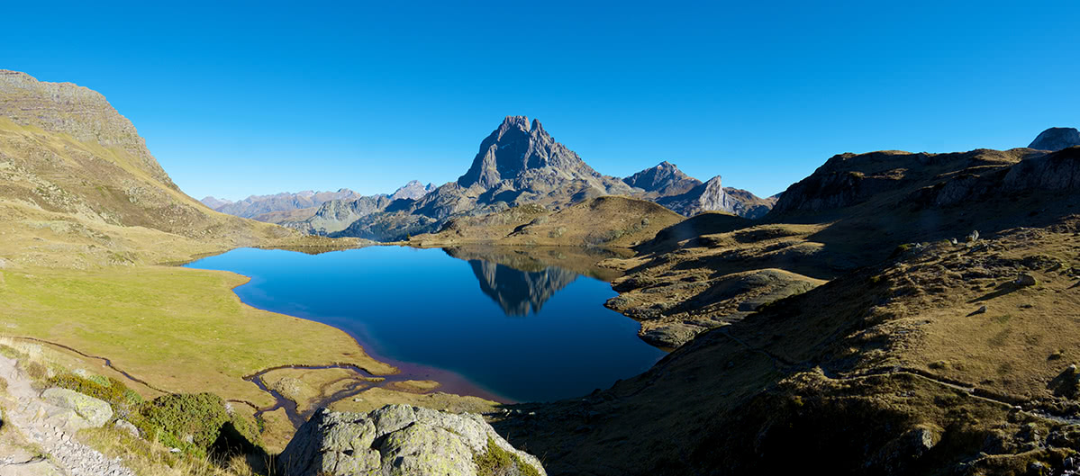
In total, there are at least 20 large natural areas in the Pyrenees. Among all this diversity, we can first distinguish three national parks (the first two in Spain and one in France):
Then there are many large regional nature parks in each of the countries along the entire border of the mountain range, namely (from northwest to southeast):
Nature Parks in Spanish Pyrenees
If we add mountains of the Catalan Mediterranean System in the Barcelona area to the Pyrenees main range, there are several other natural parks, the first of which is located directly north of the city and can be reached on foot from its main streets:
Nature Parks in French Pyrenees
The French Pyrenees is also home to three major nature reserves, the first of which is part of the aforementioned Pyrénées National Park:
Follow the links to learn more about each park if a guide has already been written about it, if not, save the link to your bookmarks, it will appear soon from one of PekVisor’s local writers and hikers.
The Pyrenees is also known for endless short and several long hiking trails.
The first are popular among locals and travelers from Europe, and take up to 30 km (mi) with an elevation gain of up to 1,500 m (4,921 ft), which would take you 1–2 days with an overnight stay in a mountain shelter. Here are a few examples:
The second usually attracts travelers from distant countries such as the United States and Canada, Australia and New Zealand, South Korea and Japan, and others, and can be more than 30 km (mi) long up to several hundred. Among all the long routes, I will distinguish three main ones: to the north and south of the mountain range, as well as across the Pyrenees. So here they are:
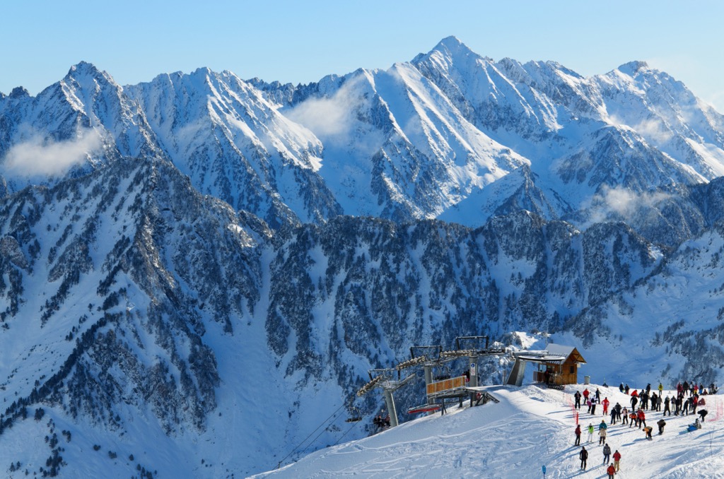
The Pyrenees is home to a variety of ski resorts of varying levels: from small local areas with a couple of low slopes to the world-famous ski complexes.
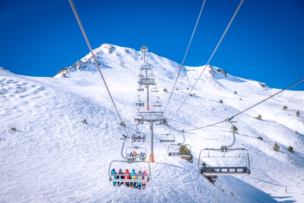
Find the open and closed slopes and lifts at these and other ski resorts on the France and Andorra (Spain is coming soon, if not already) pages in the World Mountain Lifts section of PeakVisor.
Before or during your hike, visit the official tourist sites of the three Pyrenees countries to learn more:
Spain.info/en/discover-spain/pyrenees
As elsewhere in Europe, for newcomers at high altitude in the Pyrenees, the most basic type of lodging is the mountain hut (refuge). There are many of them in this mountain range and they come in three basic types: open and free, with overnight accommodation and full board (space in a common or private room, breakfast, and dinner). As a general rule: the closer the huts are to civilization, the more various amenities and services will be available (including 5G and wi-fi, which, from my experience, stops working after about 1,500 m (4,921 ft)).
Let’s take the refuge des Oulettes de Gaube, closest to the Massif de Vignemale (3,298 m / 10,820 ft), the highest point in the French Pyrenees, which I mentioned earlier, as an example:
Also in the Pyrenees, you can pitch a tent near one of the refuges, but only for one night somewhere between 7 pm and 7 am. It is forbidden to camp for several days in the mountains. The entire Haute Randonnée Pyrénéenne can theoretically be hikes in a hut-to-hut format, but experienced hikers recommend carrying a light tent in case you don't make it to the shelter in time.
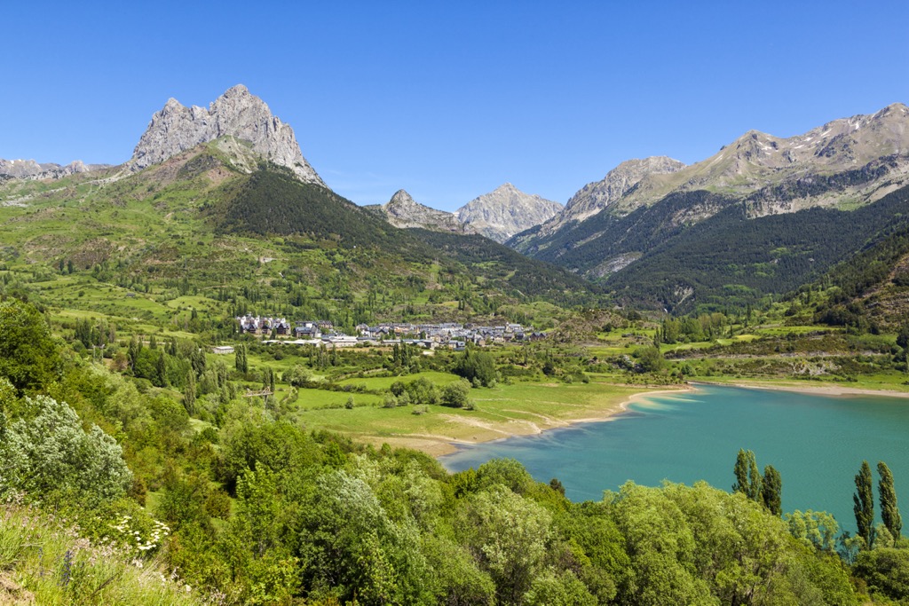
You can start and end your hike through the Pyrenees (although it would be difficult to do—so magnificent are these mountains) in one of several major cities, towns and resorts.
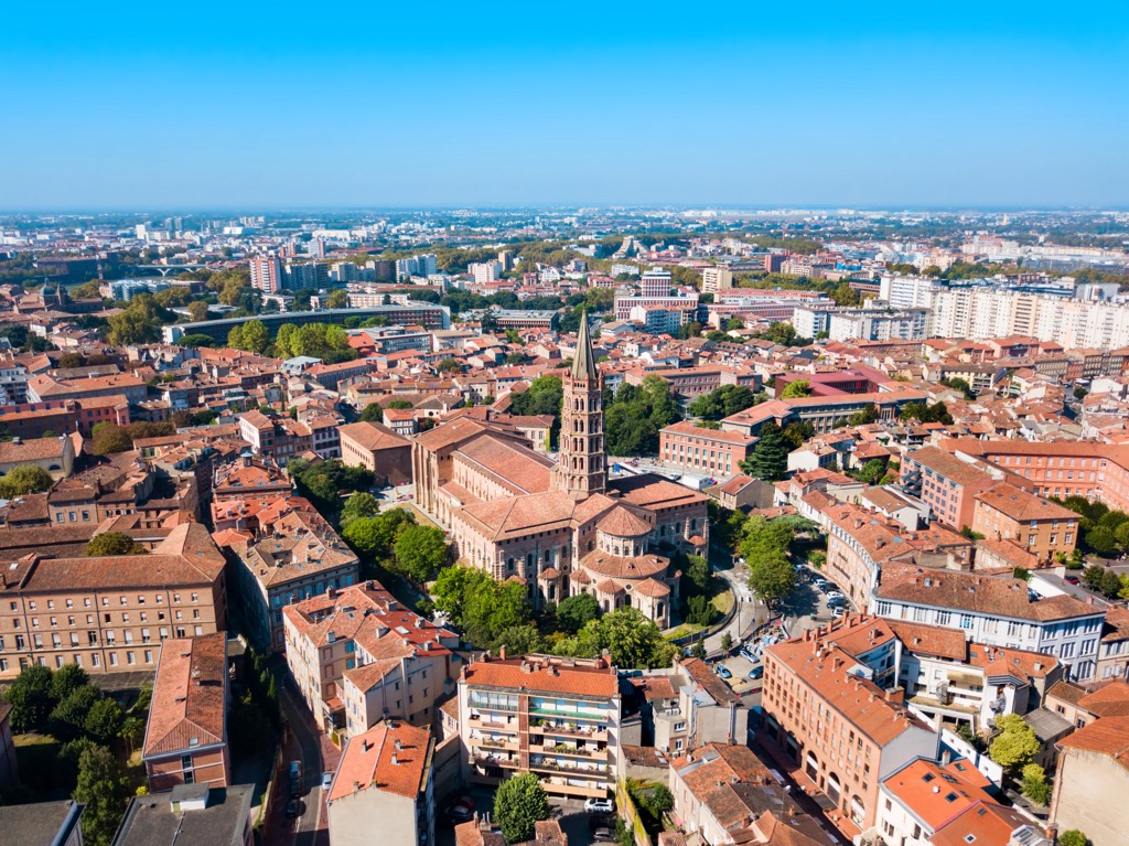
The largest city on the French side is Toulouse, closer to the east. The center of life in the Western Pyrenees is Pau, also quite a big city. The main resorts on the coast of the Bay of Biscay are Biarritz, Bayonne, and Anglet. An example of a typical Basque village nearby, where you can go to explore the region is Helette. On the opposite side, on the Mediterranean coast, the main city is Perpignan.
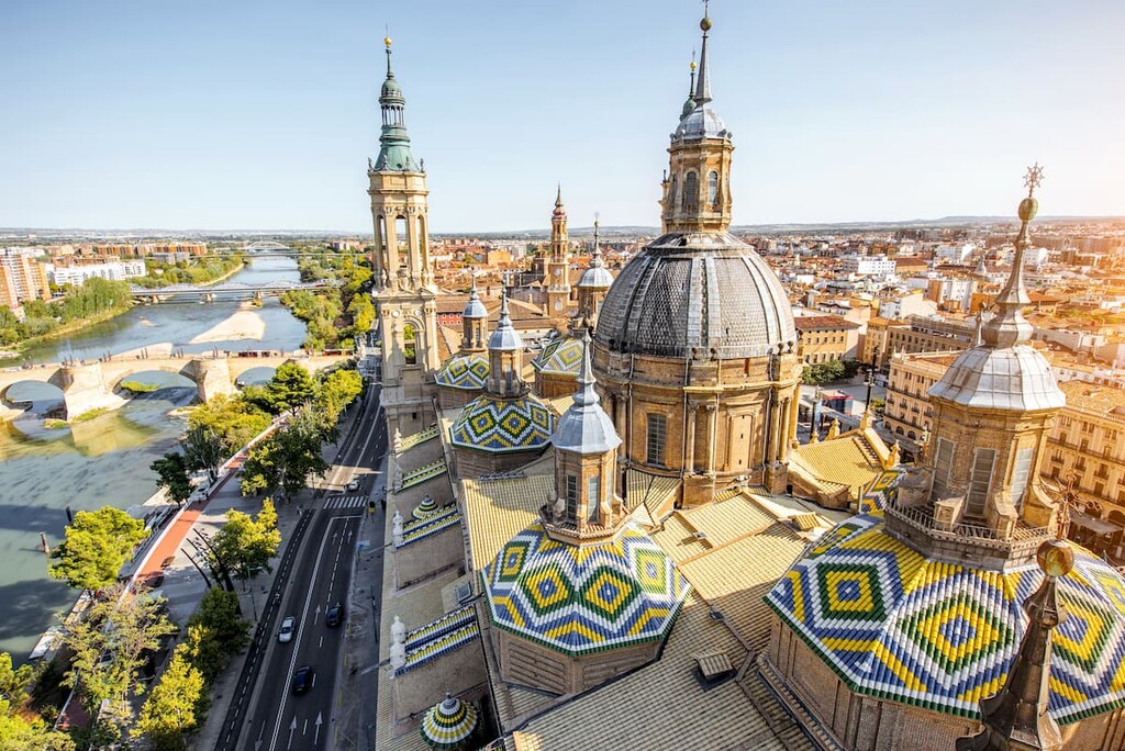
In Spain, the largest cities near the Pyrenees are Barcelona in the south, Zaragoza in the center of the east of the country, and Bilbao in the north. An alternative to the latter is Donostia / San Sebastian. Although it belongs to the Basque Mountains, it is very close to the Pyrenees, so it could be a base for hiking, too. An alternative to Barcelona is Girona, as well as many smaller places.
Towns inside the Pyrenees are mostly small villages and ski resorts. You can easily find them on the map and reach them from larger settlements.
The capital of Andorra, Andorra la Vella, is also a ski resort and the country’s only major city.


top10
ultra
glacier
pyrenees-3000ers
spain-ultras
top10
ultra
glacier
pyrenees-3000ers
spain-ultras
The highest peak in the Pyrenees is Pico de Aneto, at 3,404 m.
The Pyrenees have 19,465 named peaks.


