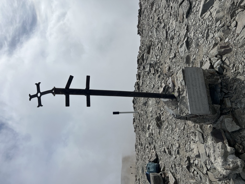
The Peak of Puigmal (Catalan pronunciation: [ˌpudʒˈmal]), also called Puigmal d'Er, is a mountain in the Pyrenees, in the Spanish-French border, within the limits of the municipality of Queralbs and the commune of Err. Its summit is 2,909.6 metres (9,546 ft) above sea level, one of the highest peaks in the eastern Pyrenees.
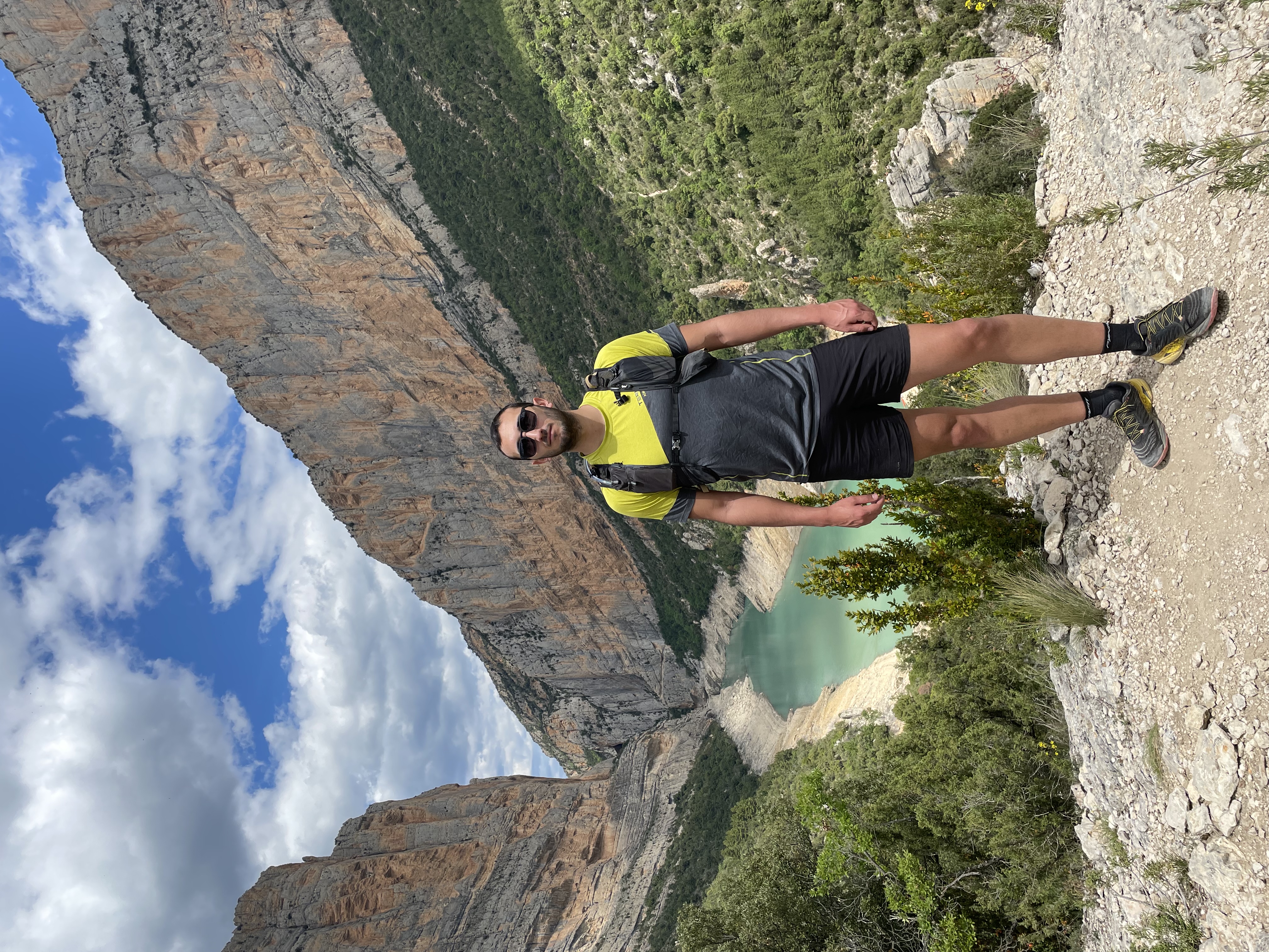
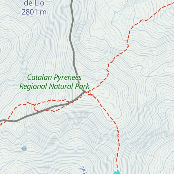
Puigmal d'Err is near the west end of a fine ridge over 2500m high for 16 km. The west half is composed of friable metasediments (schists) which break down to form smooth slopes, and so give easy walking. The east half is of tougher gneiss and forms spiky alpine scenery with sharp crests and some difficult places. Several excellent circuits can be made from Nuria.
The plateau summit of Puigmal d'Err is split for several hundred metres by a bold scarp, in places over 20 metres high, with the eastern half having slipped bodily towards Nuria. This is clearly seen on GoogleEarth. Several other crests in this range are likewise split.
We use GPS information embedded into the photo when it is available.
3D mountains overlay
Adjust mountain panorama to perfectly match your photos because recorded by camera photo position might be imprecise.
Move tool
Rotate tool
Zoom
More customization
Choose which peak labels should make into the final photo and what photo title should be.
Next
Photo Location
Satellitte
Flat map
Relief map
Latitude
Longitude
Altitude
OR
Latitude
°'''
Longitude
°'''
Apply
Register Peak
Peak Name
Latitude
Longitude
Altitude
Register
Teleport
PeakVisor
This 3D model of Sagarmatha National Park in Nepal was made using the PeakVisor app topographic data. The mobile app features higher precision models worldwide, more topographic details, and works offline. Download PeakVisor maps today.
Download OBJ model
PeakVisor
The download should start shortly. If you find it useful please consider supporting the PeakVisor app.
PeakVisor for iOS and Android
Be a superhero of outdoor navigation with state-of-the-art 3D maps and mountain identification in the palm of your hand!