Scan the QR code and open PeakVisor on your phone
There are 8473 named mountains in Occitania. The Massif de Vignemale is the highest point at 3,298m and the most prominent mountain with 1,034m of prominence. Occitania (Occitanie) is a region of France that was created on January 1st, 2016 with the merging of the Languedoc-Roussillon and Midi-Pyrénées regions. The new region covers an area of around 72,800 km². It borders the regions of Nouvelle-Aquitaine, Auvergne-Rhône-Alpes, Provences-Alpes-Côte d’Azur, Andorra and Spain.
Occitania consists of 14 departments:
As the region is so expansive there is a diverse range of cultural, geographical and historical elements. The most mountainous of these are the Hautes-Pyrénées and the Pyrénées Orientales.
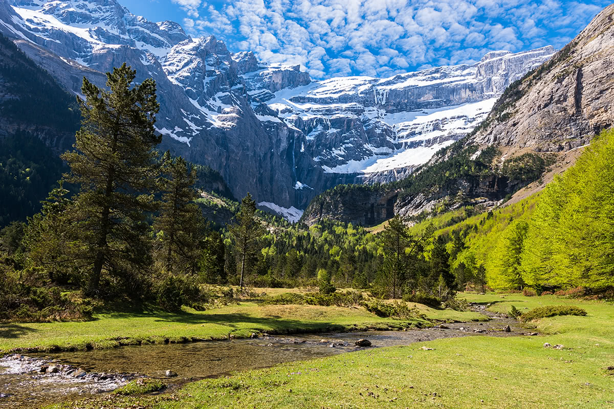
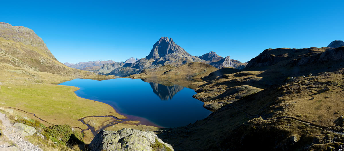
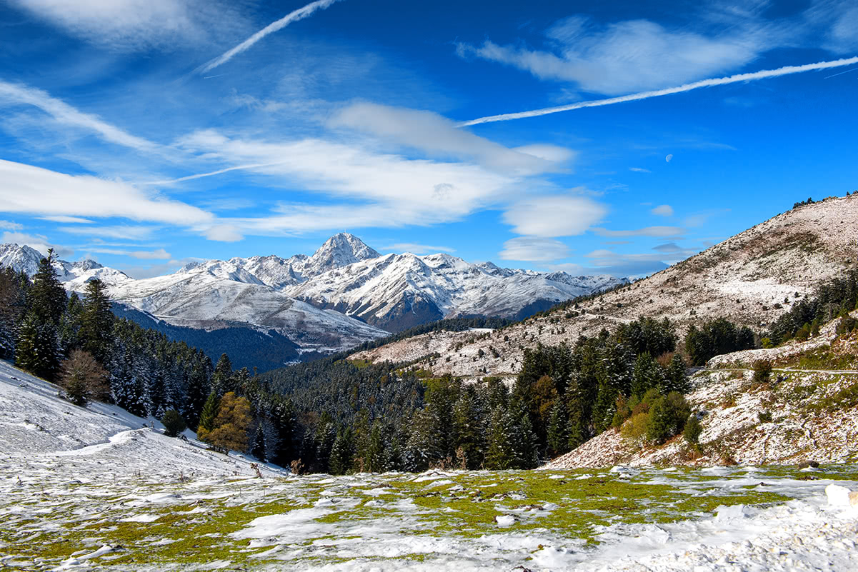
Occitania is home to the Central and Eastern Pyrénées mountain range that forms a natural border between France and Spain. The Pyrénées are divided into three sections: the Western, Central and Eastern Pyrénées. The elevation of the mountains gradually increased from west to east with the most prominent peaks situated in Occitania.
There are several important features which distinguish the Pyrénees from the Alps:
The principal routes traversing the Pyrénées from north to south are located at the eastern and western extremities near the coast.
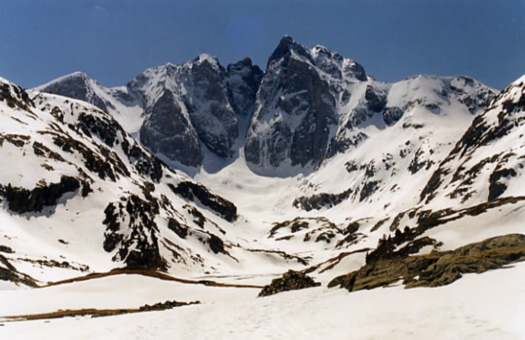
The highest peak is Aneto at 3,404m which is situated on the Spanish side. The highest peak in the French Pyrénées is also the highest peak in Occitania: the Massif de Vignemale at 3,298m. It is located on the border between France and Spain and shares its peak with the Spanish region of Aragon. On the northern face on the Vignemale there are several difficult ascent routes which require a high level of skill. The mountain refuge des Oulettes de Gaube is situated at the bottom of the Gaude valley at the foot of the northern face. It is an ideal basecamp for ascending one of the highest peaks in the Pyrénées mountain range.
There is a combined total of 8 regional natural and national parks in Occitania, with a combined area of around 11500 km². Occitania is consists of roughly 15% natural park (considering some of the Parc Naturel des Pyrénées is shared with the Nouvelle-Aquitaine region).
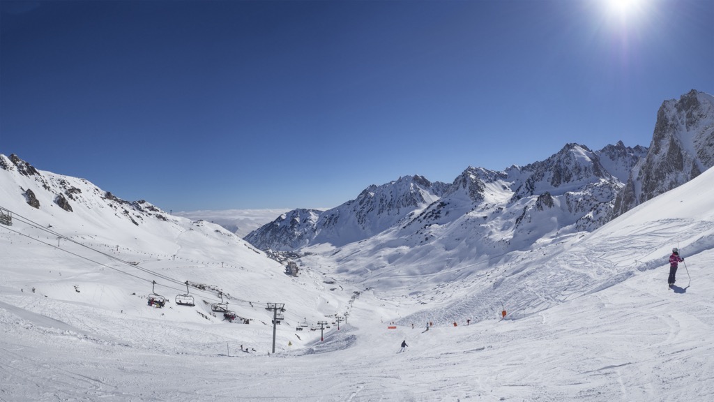
For skiing and snowboarding enthusiasts, there are more than 30 ski resorts in Occitania. Except for a few ones, they are located in the south of the region in two separate groups.
The largest ski resort in Occitania is Saint-Lary-Soulan with more than 100 km (62 mi) of slopes and more than 20 ski lifts. It is also the largest area for skiing in the French Pyrénées.
Other major areas for skiing in Occitania with more than 50 km (31 mi) of slopes and more than 10 ski lifts each include the following in descending order of size:
The largest ski resort in Occitania outside the Pyrénées is Laguiole with more than 10 km (6 mi) of slopes and more than 10 ski lifts. It is located in the north of the region.
Among the aforementioned areas, the main ski resort near Toulouse is Saint-Lary-Soulan, and the main ski resort near Montpellier is Ax 3 Domaines–Ax-les-Thermes. These are the two largest cities in the region.
Check the Occitania ski resorts map as well as the larger France ski resorts map in the World Mountain Lifts section of the site. It includes information about open ski lifts / slopes in Occitania in real-time with opening dates and hours. There are also year-round cable cars, funiculars, cog railways, aerial tramways, and all other types of mountain lifts.
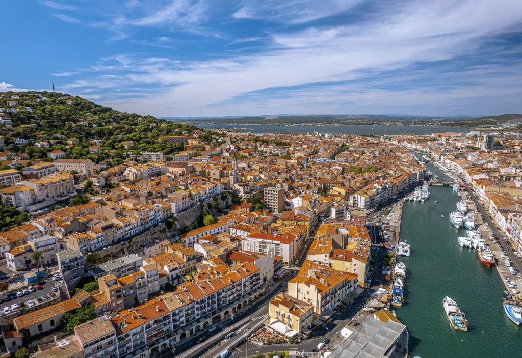
There are a number of major and minor cities in the Occitania.
Most of the larger cities in the region have airports - the largest being that of Toulouse. The region is well catered to by an extensive train network. Equally access to the mediterranean sea is possible along the coast.
Occitania has some of the most varied flora in France. There are around 2,500 species of flowers and plants. Depending on the season, there is always something to see.
The fauna is equally as diverse with over 4,000 species of animals in the region. The animals which are specific to the Pyrénées are the bearded vulture, the Pyrenean desman and the brown bear. In the high mountains the marmottes and ibex can be found, the latter being recently reintroduced into the area.
Plo del Naou - Starting from the parking at the summit of the Col d’Aspin, this 6.2km hike is ideal for beginners. There is 320m of vertical elevation along the ridge taking you to the summit at 1754m. From the peak you will have access to 360 panoramic views across the surrounding valleys. Est time 2hrs.
La Brèche de Roland - A natural gap in the mountain ridge, 40m across and 100m high. Legend has it that the gap was created in in 778 AD by Count Roland, a Frankish military leader of Charlemagne, as he cut into the mountain with his sword. The gap can be reached from the parking at the summit of the Col de Tentes. From here there is a 5.5km climb to the gap. The route back is the same, resulting in a total distance of 11km and 604m of elevation up to. Depending on the time of year there could be snow covering this peak - it is best to be well prepared for any eventuality. From the summit there are views into Spain and the Pico de Millaris. This hike is best suited to intermediate to experienced hikers. Est time 4hrs.
Montgrand - Situated in the Natural park of Haute-Languedoc, this 12km hike from Salvaget up to the summit is suited for intermediates. There is a total elevation gain of 350m up to the summit at 1267m. From the summit you will have views across the Natural park and towards the Laucan military radio station situated on the summit of the Puech de Rascas to the north. Est time 3hrs.
Mont Aigoual - Located in eastern Occitania in the Cévennes National Park. Starting from l’Espérou there is a 13km trail which takes you up to the summit at 1565m and back. With a total elevation of 425m, this route is best suited to intermediates. Whilst the summit is accessible by car, the route from l’Espérou allows you to take in the surrounding area. Est time 5hrs.