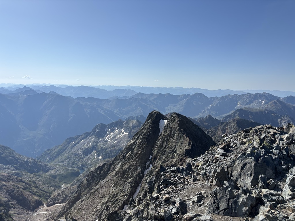
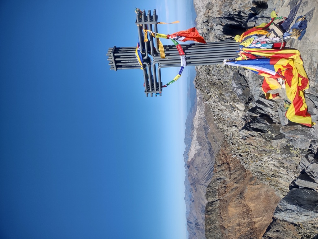
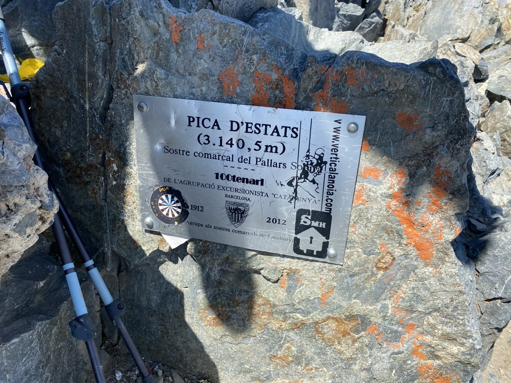
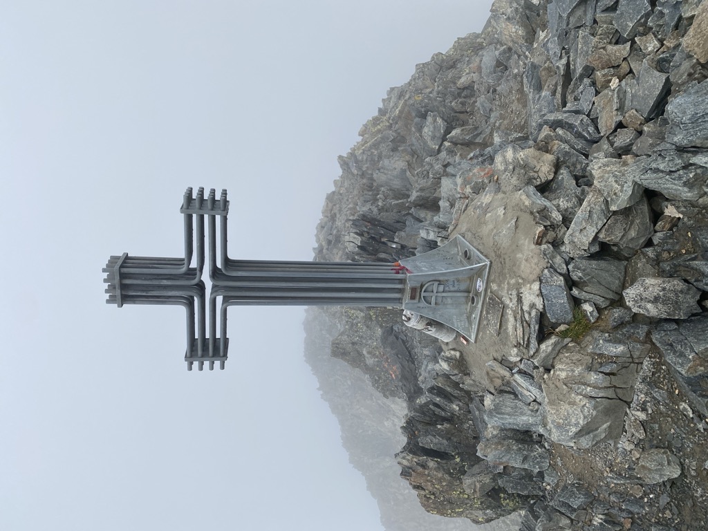
Pica d'Estats (or The States Peak) (Catalan: Pica d'Estats, French: Pic d'Estats) is a 3,143-metre-high (10,312 ft) mountain in the Montcalm Massif, Pyrenees. on the Spanish–French border, and is the highest mountain in Catalonia.
This mountain is included in the Parc Natural de l'Alt Pirineu.
There's a difficult alpine trail (T6) leading to the summit.
By elevation Pica d'Estats is
# 57 out of 18724 in the Pyrenees # 73 out of 81984 in Spain # 1 out of 354 in Alt Pirineu Natural Park # 1 out of 3562 in Lleida # 1 out of 9528 in Catalonia # 21 out of 8344 in Occitania # 1 out of 940 in Parc naturel régional des Pyrénées ariégeoises # 1 out of 1505 in Ariège
By prominence Pica d'Estats is
# 3 out of 18724 in the Pyrenees # 16 out of 81984 in Spain # 22 out of 35442 in France # 1 out of 354 in Alt Pirineu Natural Park # 1 out of 3562 in Lleida # 2 out of 9528 in Catalonia # 2 out of 8344 in Occitania # 1 out of 940 in Parc naturel régional des Pyrénées ariégeoises # 1 out of 1505 in Ariège
We use GPS information embedded into the photo when it is available.
3D mountains overlay
Adjust mountain panorama to perfectly match your photos because recorded by camera photo position might be imprecise.
Move tool
Rotate tool
Zoom
More customization
Choose which peak labels should make into the final photo and what photo title should be.
Next
Photo Location
Satellitte
Flat map
Relief map
Latitude
Longitude
Altitude
OR
Latitude
°'''
Longitude
°'''
Apply
Register Peak
Peak Name
Latitude
Longitude
Altitude
Register
Teleport
PeakVisor
This 3D model of Sagarmatha National Park in Nepal was made using the PeakVisor app topographic data. The mobile app features higher precision models worldwide, more topographic details, and works offline. Download PeakVisor maps today.
Download OBJ model
PeakVisor
The download should start shortly. If you find it useful please consider supporting the PeakVisor app.
PeakVisor for iOS and Android
Be a superhero of outdoor navigation with state-of-the-art 3D maps and mountain identification in the palm of your hand!