
Scan the QR code and open PeakVisor on your phone
Parc Natural del Cadí-Moixeró has 203 named peaks. The highest is Vulturó at 2,648 m. Other notable peaks include Puig de les Gralleres, Pujolar de Roca Grossa and Roca del Viladre.
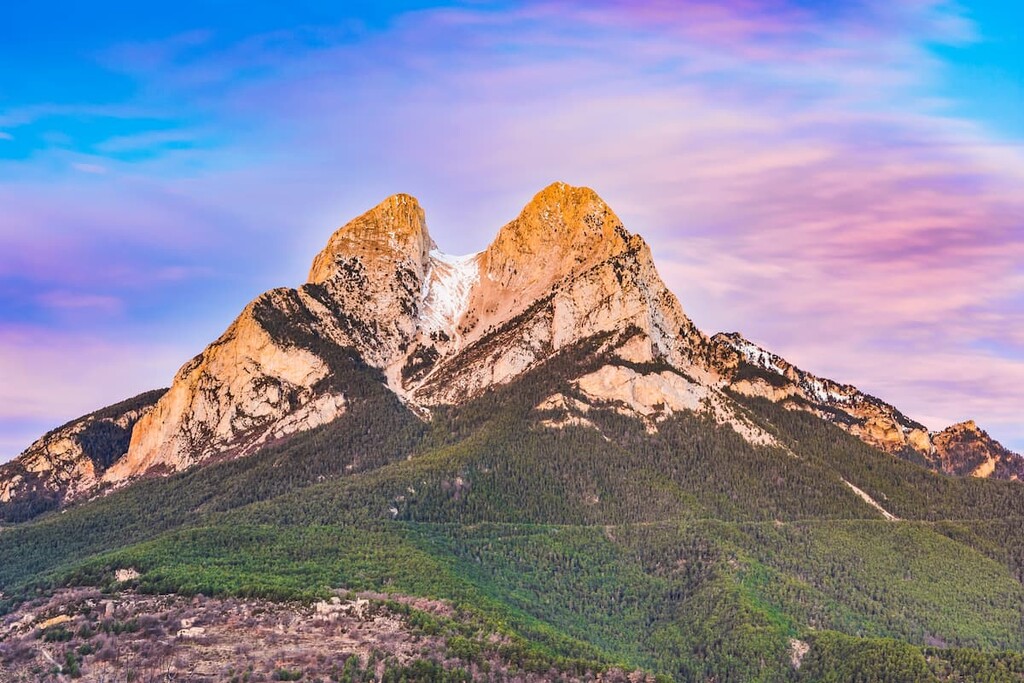
Nestled in northeastern Spain lies Cadí-Moixeró Natural Park (Parc Natural del Cadí-Moixeró) is a stunning outdoor recreation destination known for its abundance of peaks within the Pyrenees. The park contains 200 named mountains, the highest and the most prominent of which is Vulturó at 2,648 m (8,688 ft) with 871 m (9,226 ft) prominence.
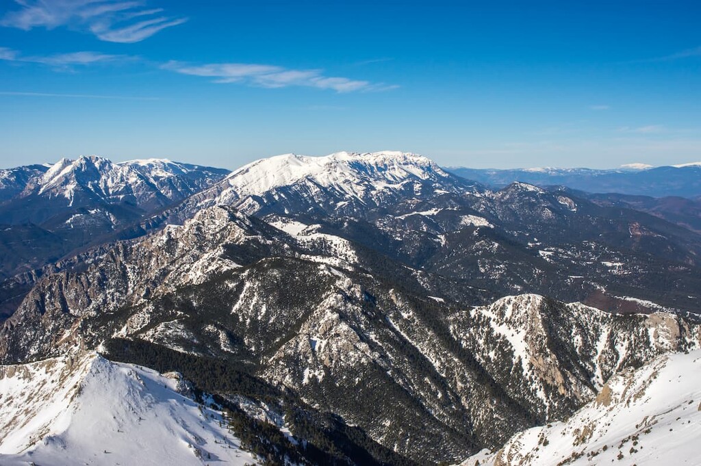
Cadí-Moixeró Natural Park is situated in the northeastern region of Spain along the country’s border with France and Andorra. Located in the central region of the park lies Vulturó, the highest peak in the park boundaries. Elevations in the Cadí-Moixeró Natural Park range from 900 m (2,953 ft) up to the summit of Vulturó.
Located in the Catalonia region of Spain, the park spans 41,000 ha (101,313 acres) and was established in 1983. The mountains within the park are classified as a Pre-Pyrenean mountain range. The mountains of the park include the El Cadí and Moixeró ranges, which the park is named after.
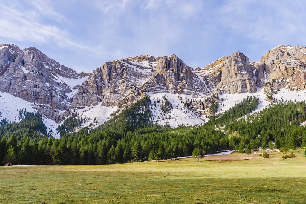
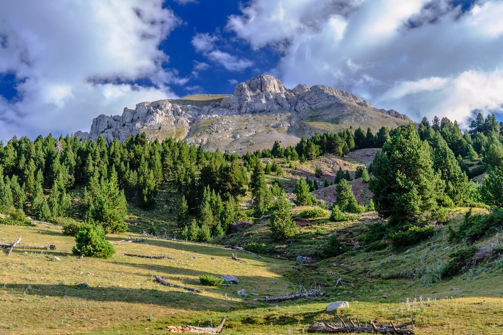
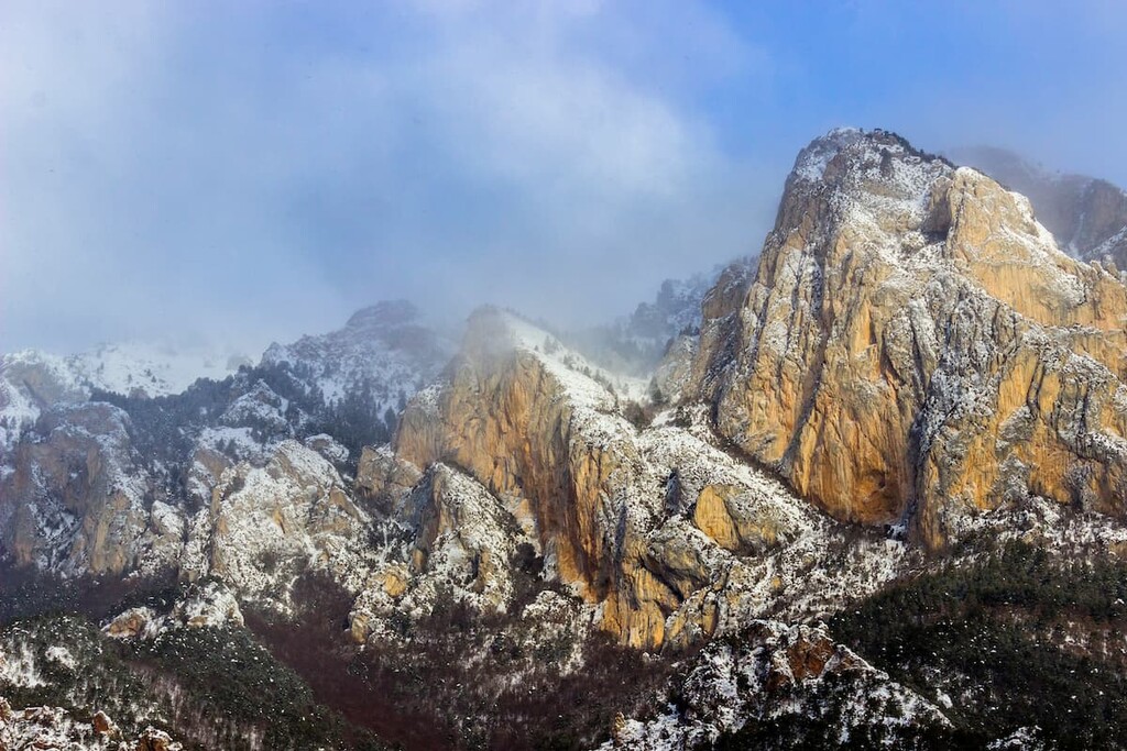
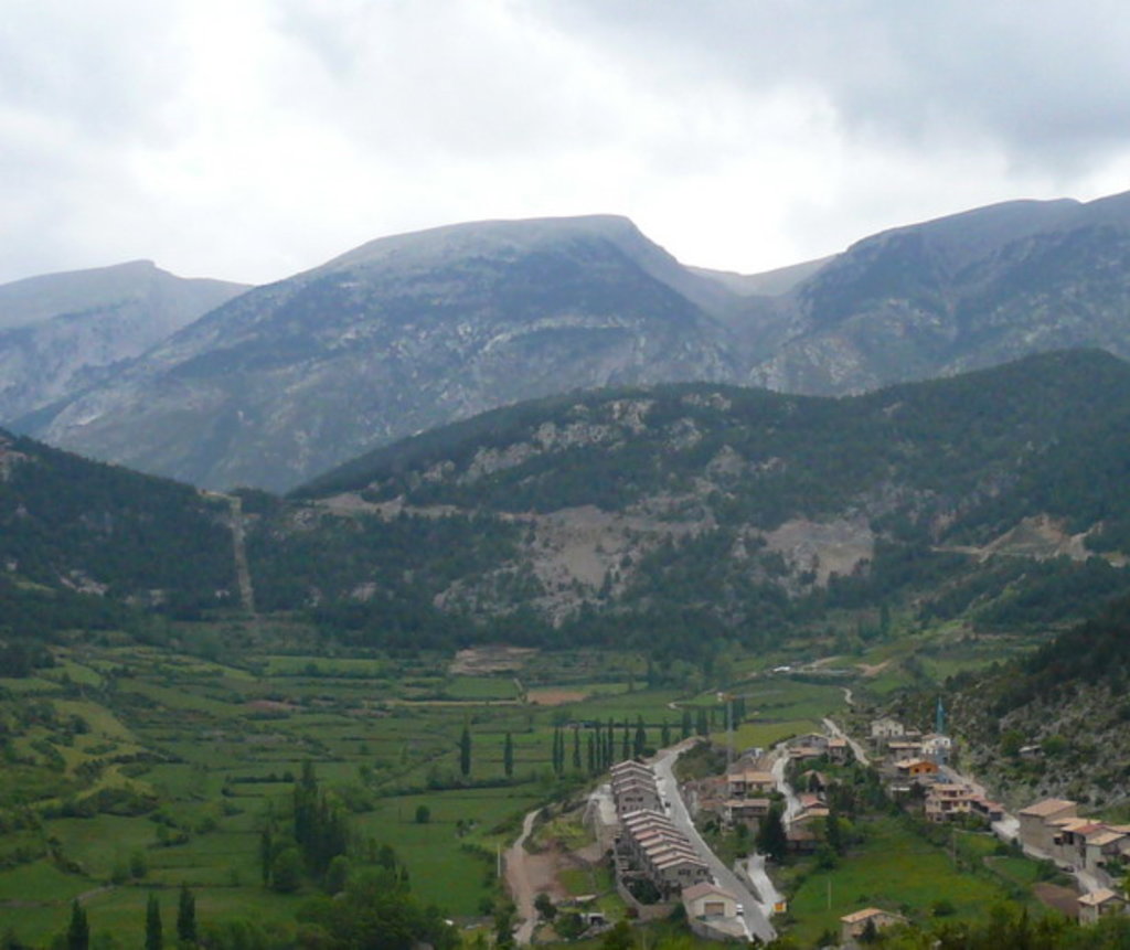
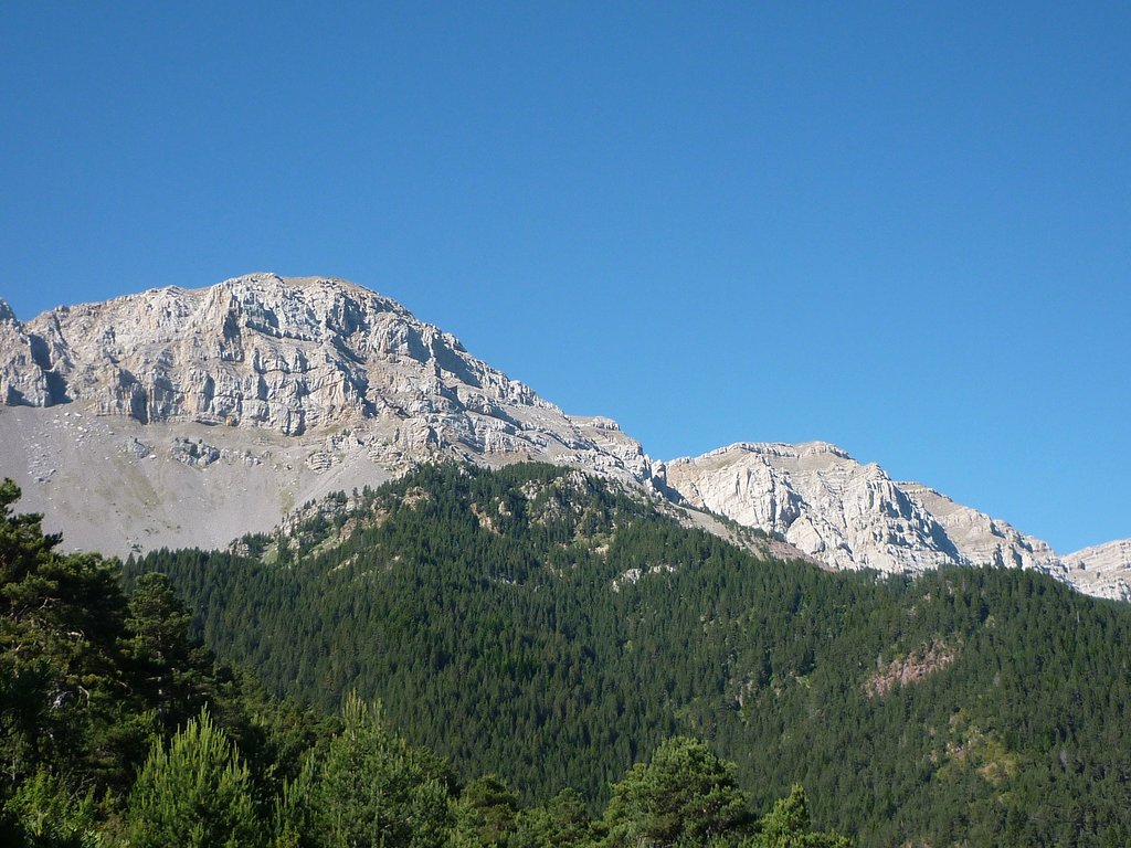
Lower elevations in the park include sprawling meadows and subalpine valleys. The lush and fertile soils of the fields and scattered throughout dense forests that thin as they give way to the snow capped mountain ranges.
Additionally, Posets-Maladeta Natural Park is located near a large number of other popular outdoor recreation areas. This includes the D'aigüestortes i Estany de Sant Maurici National Park (Parc Nacional d'Aigüestortes i Estany de Sant Maurici) and Alt Pirineu Natural Park (Parc Natural de l'Alt Pirineu) to the east, the Ordesa and Monte Perdido National Park (Parc Nacional de Ordesa y Monte Perdido) to the west.
The park is part of the larger Pre-Pyrenees, also known as the foothills of the Pyrenees. The park runs parallel to the Pyrenees, extending from west to east.
The peaks within the park are composed largely of limestone while lower elevations are characterized as Jurassic. The northern faces within the park are known for their steep and sheer cliff faces.
The Moixeró range is thought to be older than the Cadí range, which marked the beginning stages of the Pre-Pyrenees. The two ranges are separated by what is known as the Tancalaporta pass.
The fertile fields near the villages in the park, grow fodder, garlic, potatoes and beans. These fields are surrounded by the dense forests of the park, made up primarily of oak, beech, willow, and ash trees. As the elevation increases in the park, these forests give way to small groups of black pine, Scots, and fir trees.
Besides cattle, common animals found throughout the park include woodpecker, ibex, Tengmalm’s owl, marten, bearded vultures, wild boar, deer, marmot, wall lizard, white-winged snowfinch, and various other species. The Cadí-Moixeró Natural Park is home to some of the most biodiverse land in all of Catalonia.
The park was established back in 1983 though sections of the land were designated for hunting during the 1960s. Despite its rugged and beautiful terrain, the Cadí-Moixeró Natural Park is one of the most populated parks in the entire region. Small villages are scattered throughout the foothills of the alpine terrain, some dating nearly a thousand years.
Posets-Maladeta Natural Park is home to numerous trails that span over 400km across the region. Here are some of the top hiking areas to visit in the park:
This trail is 8.2 km (5.1 miles) with 376 m (1,233 feet) of elevation gain. Located on the northern side of the park, this route starts in Estana. From there the trail gently winds up through the forest before coming to a viewpoint. Once at the top hikers have views of the surrounding mountains, countryside, and wildflowers.
The GR 150: Circuito del Cadí is one of the most iconic routes through the park. The trail is 150.6 km (93.6 miles) with 6,610 m (21,686 feet) elevation gain. This main loop goes throughout the entire park and is often completed over the course of a week. However, markers for this route can be seen throughout the park with various sections being accessed for a short day hike.
Looking for a place to stay near Cadí-Moixeró Natural Park? Here are some of the best cities and villages to check out in the region:
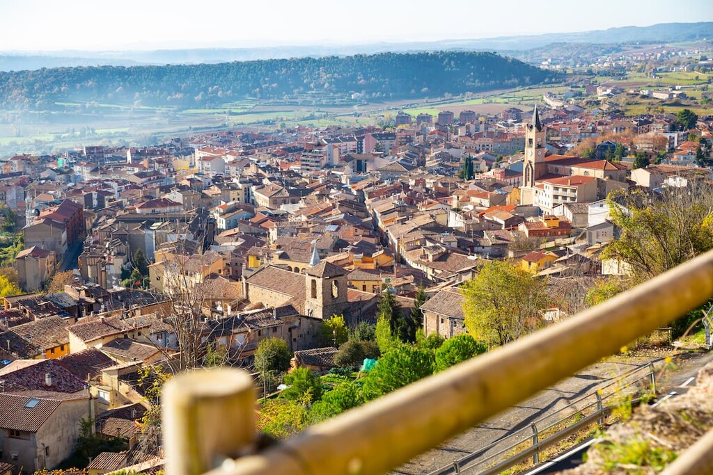
Located just south of the park lies the city of Berga. The city sits within Barcelona province at the foothills of the Pyrenees. Berga has a population of around 17,000 and sits along the main highway, C-16, that passes through the park.
Berga’s history dates back to 218 BC when its residents were part of an Iberian tribe. Over time the city formed and today it is known for its annual “La Patum” festival. While the city itself is not large, it is surrounded by various other small villages nestled in the foothills of the park.
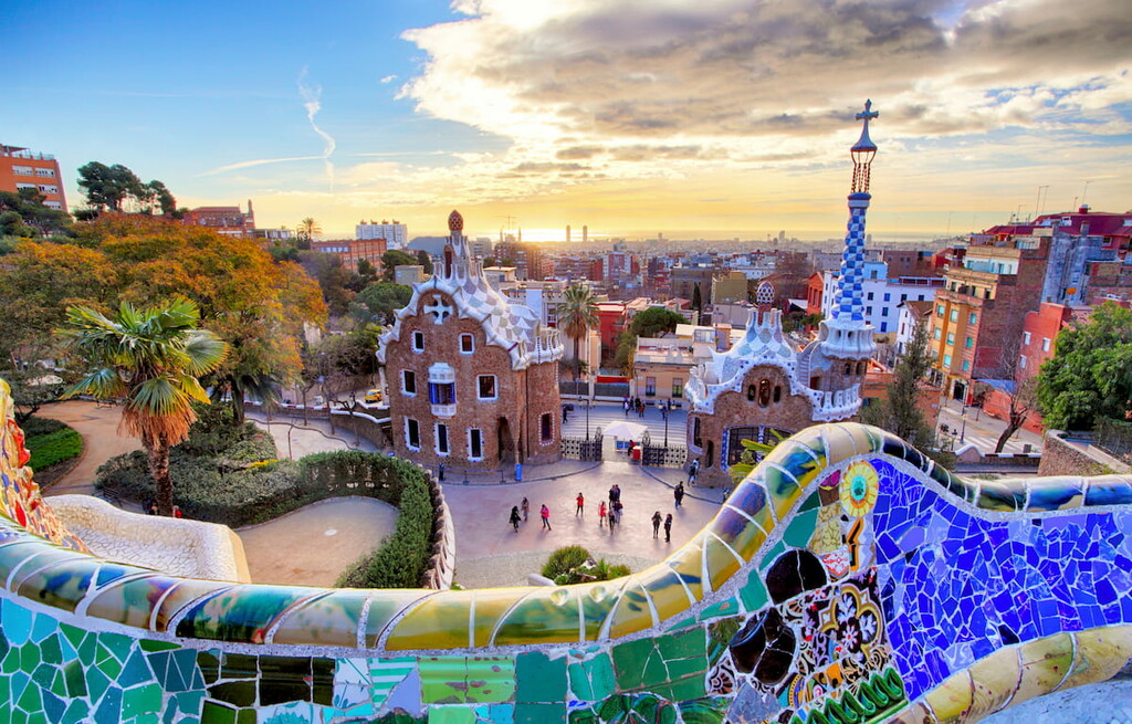
The Cadí-Moixeró Natural Park sits to the northeast of Barcelona. The iconic city is the second most populous in the entire nation, with 1.6 million people just within the city’s limits. The city was established by the Romans and holds a vast and rich history and heritage.
Today Barcelona is a major cultural and economic center in Europe and one of the most visited cities in southwestern Europe. Besides being surrounded by natural parks, the city is known for La Sagarda Familia, other work by Antoni Gaudi, the National Museum of Art of Catalonia, along with a vibrant nightlife and exquisite food.


The highest peak in Parc Natural del Cadí-Moixeró is Vulturó, at 2,648 m.
Notable peaks in Parc Natural del Cadí-Moixeró include Vulturó, Puig de les Gralleres, Pujolar de Roca Grossa, Roca del Viladre and Pic de Costa Cabirolera.


