Pico Maldito is the fourth highest peak in the Pyrenees, with an altitude of 3350 meters above sea level.
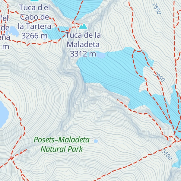
It is located in the Posets-Maladeta Natural Park, in the municipality of Benasque, province of Huesca, Aragon, Spain. It is part of the Macizo de la Maladeta, located in the Benasque Valley area, is made up of Paleozoic soils of a granite nature and Mesozoic materials.
There's a difficult alpine trail (T6) leading to the summit.
The nearest mountain hut is Abris des Lacs Coronas located 1 080m/3 545ft SSW of the summit.
By elevation Pico Maldito is
# 3 out of 279 in Parque Natural Posets-Maladeta # 3 out of 18724 in the Pyrenees # 9 out of 81984 in Spain # 3 out of 2258 in Huesca # 3 out of 5955 in Aragon
We use GPS information embedded into the photo when it is available.
3D mountains overlay
Adjust mountain panorama to perfectly match your photos because recorded by camera photo position might be imprecise.
Move tool
Rotate tool
Zoom
More customization
Choose which peak labels should make into the final photo and what photo title should be.
Next
Photo Location
Satellitte
Flat map
Relief map
Latitude
Longitude
Altitude
OR
Latitude
°'''
Longitude
°'''
Apply
Register Peak
Peak Name
Latitude
Longitude
Altitude
Register
Teleport
PeakVisor
This 3D model of Sagarmatha National Park in Nepal was made using the PeakVisor app topographic data. The mobile app features higher precision models worldwide, more topographic details, and works offline. Download PeakVisor maps today.
Download OBJ model
PeakVisor
The download should start shortly. If you find it useful please consider supporting the PeakVisor app.
PeakVisor for iOS and Android
Be a superhero of outdoor navigation with state-of-the-art 3D maps and mountain identification in the palm of your hand!