Scan the QR code and open PeakVisor on your phone
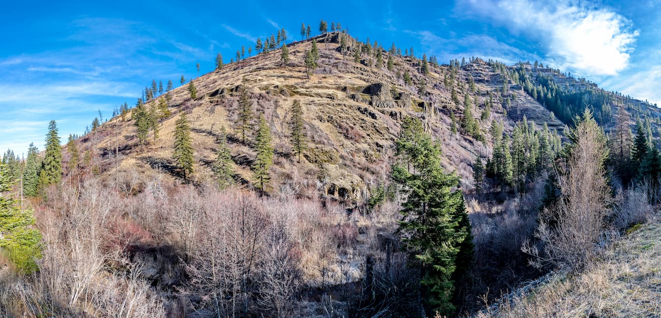
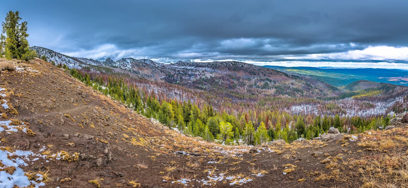
Home to vast sprawling sagebrush, massive buttes, and rugged peaks, the Columbia Plateau is a collection of mountain ranges in the US states of Oregon, Washington, and Idaho. It contains 1,575 named mountains, the highest and most prominent of which is Sacajawea Peak (9,820ft/2,993m).
The Columbia Plateau can be defined in many different ways, including as a geologic province, a geographical area, or an ecoregion. Although the boundaries of these regions vary slightly from one to the other, it’s generally accepted that the Columbia Plateau ranges cover much of central and northerneastern Oregon, south-central Washington, and west-central Idaho.
As a whole, the Columbia Plateau is bordered to the west by the heavily glaciated peaks of the Cascade Range and to the west by the Idaho-Bitterroot Rocky Mountains. To the north, they are bordered by the Columbia Mountains, which cover parts of Washington, Idaho, and Montana before heading northward into the province of British Columbia in Canada.
Meanwhile, the southernmost part of the Columbia Plateau borders the Great Basin Ranges, which cover a wide area that includes southern Oregon, southern Idaho, eastern California, most of Nevada, and western Utah.
Due to the vast nature of the Columbia Plateau, it is best to categorize the system’s subranges and public lands by state.
The state of Oregon is home to the vast majority of the Columbia Plateau, which occupies much of the central and northeastern portions of the state. This includes a substantial portion of Wallowa, Union, Baker, Malheur, Harney, Grant, Umatilla, Morrow, Gilliam, Sherman, Wasco, Wheeler, Jefferson, Crook, Deschutes, and Lake Counties.
Moreover, Oregon is home to a substantial collection of Columbia Plateau subranges, which include:
Within the state, there are also a number of major public land areas, such as national forests, monuments, and recreation areas. These include:
Additionally, Oregon’s section of the Columbia Plateau contains a handful of federally-designated wilderness areas, such as:
Washington state is home to the northernmost extent of the Columbia Plateau. Within the western and southern parts of the state, the range is found in a number of counties, including Asotin, Garfield, Columbia, Walla Walla, Benton, Klickitat, Yakima, Kittitas, Grant, Adams, Lincoln, Spokane, and Whitman.
Although much of the Columbia Plateau within Washington is a collection of unnamed buttes and hills, there are a few named ranges in the state, including:
Moreover, the Washington portion of the Columbia Plateau contains 2 protected areas: Hanford Reach National Monument and Beezley Hills Preserve.
The state of Idaho contains a small portion of the Columbia Plateau, along its west-central border with both Oregon and Washington. Parts of the plateau are located within Kootenai, Benewah, Latah, Nez Perce, Idaho, Adams, Washington, Payette, and Gem counties.
Within the state, much of the Columbia Plateau is located within Clearwater National Forest and Payette National Forest. While there are many national forests and public lands in this part of Idaho, such as Boise National Forest and Nez Perce National Forest, most of them are dominated by peaks of the Idaho-Bitterroot Rocky Mountains.
Idaho contains a few subranges of the Columbia Plateau, most notably, the Hoodoo Mountains, the Craig Mountains, and the West Mountains.
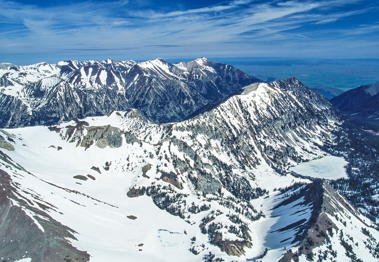
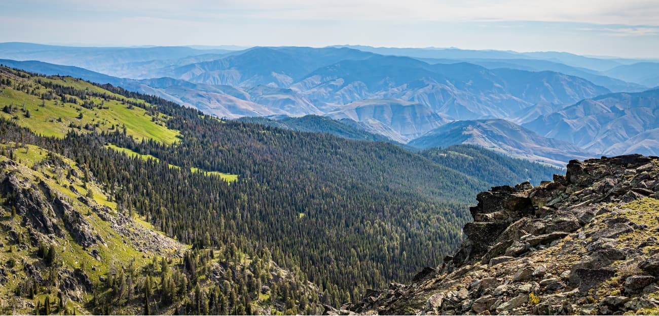
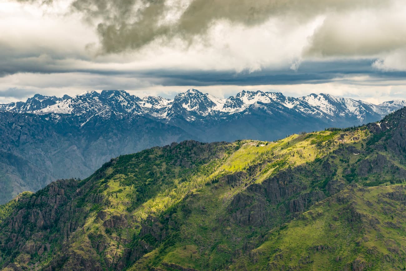
Although there are many subranges within the Columbia Plateau, the region shares a unique geologic history. Some 17 to 6 million years ago, the region experienced extensive volcanism, which led to widespread flows of basaltic lavas.
While much of this lava flowed during the first few million years of this volcanic activity, over 300 individual lava flows dominated the area throughout this period, creating over 105,633 cubic miles (170,000 cubic kilometers) of basaltic lavas. As these lavas cooled, they created many of the captivating columnar cliffs that are found throughout the region.
Evidence of this volcanic past is clearly seen throughout some of the region’s protected areas, including John Day Fossil Beds National Monument and the Newberry National Volcanic Monument.
However, it’s important to note that the volcanism that helped create the bedrock within the Columbia Plateau is geologically separate from the subduction processes that formed the Cascade Range and its volcanoes to the west.
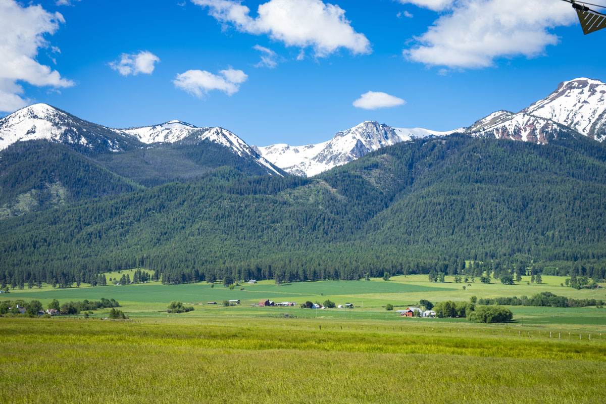
Many of the ranges within the Columbia Plateau province, such as the Blue Mountains, Strawberry Mountains, and the Wallowa Mountains, are the result of widespread uplifting that occurred throughout the north-central part of the plateau.
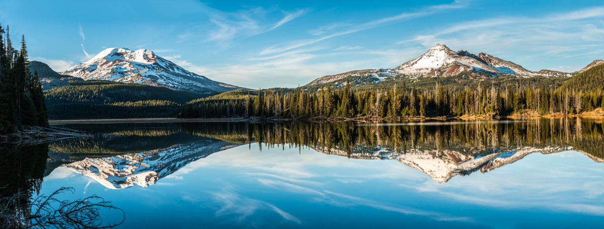
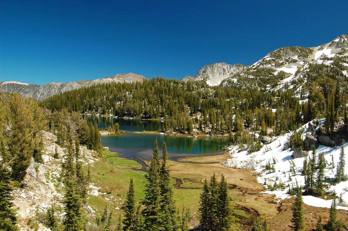
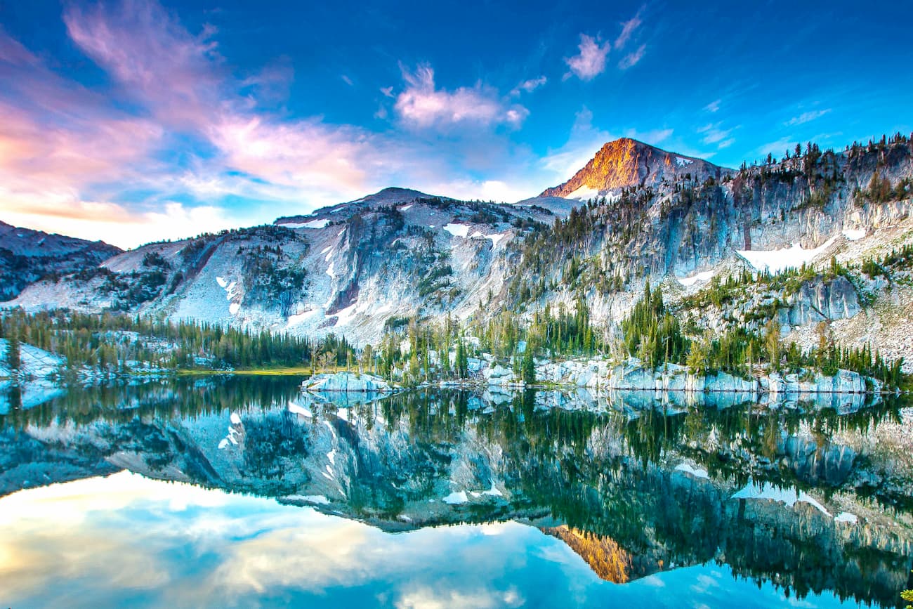
Some of the most notable peaks in the Columbia Plateau include Sacajawea Peak, Matterhorn (not to be confused with the Matterhorn of the Alps), Aneroid Mountain, Twin Peaks, Chief Joseph Mountain, and Eagle Cap.
The Columbia Plateau contains 2 primary ecoregions, the Columbia Plateau Ecoregion and the Blue Mountains Ecoregion, each of which has its own unique natural history.
Covering much of the northern part of the Columbia Plateau mountains, the Columbia Plateau Ecoregion encompasses some 32,100 square miles (83,000 sq. km) of land. It includes part of Washington, Oregon, and Idaho and extends almost all the way to the US’ border with Canada.
Within the ecoregion, there are at least 14 sub-ecoregions (Level IV). Many of these sub-ecoregions are home to scrub, prairie, and other similar rolling, treeless terrain, particularly at low elevations. In riparian areas around rivers, the landscape is dominated by various grasses and sagebrush, as well as white alder.
However, the ecoregion is mostly located throughout relatively low-lying areas that receive little precipitation, as it is located in the rain shadow of the Cascade Range to the west. As such, the region generally does not sustain exceptionally large forested areas, except around major rivers.
Encompassing much of the southern part of the Columbia Plateau, particularly in Oregon, the Blue Mountains Ecoregion is home to a complex network of sub-ecoregions that include everything from arid plateaus to alpine areas.
In low-lying arid areas, the Blue Mountains Ecoregion is home to sagebrush and bunchgrasses. At higher elevations, the region is dominated by forests, particularly old growth ponderosa pines, Engelmann spruce, grand fir, and western larch. There are also sizable stands of Douglas fir, juniper, and lodgepole pine.
The region offers excellent habitat for a wide array of wildlife, including mountain boats, bighorn sheep, elk, and bald eagles. There are also declining stocks of fish in the ecoregion’s rivers and lakes, including chinook salmon and steelhead.
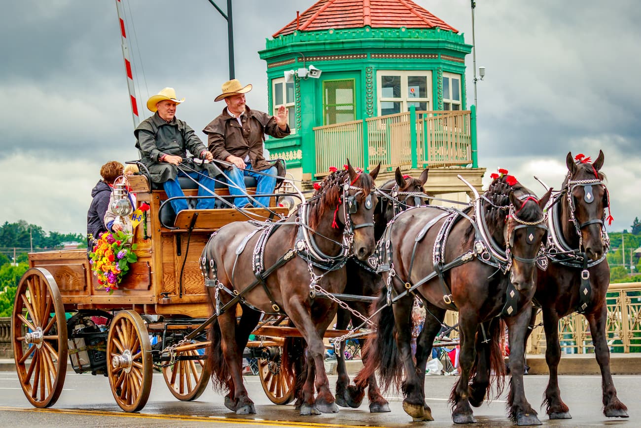
Humans have lived throughout the Columbia Plateau region for thousands of years. Over the millenia, countless groups have considered the region to be their ancestral homelands, including the Cayuse, Umatilla, and Walla Walla, Northern Paiute, Confederated Tribes of Warm Springs, Tenino, Yahooskin, Shoshone-Bannock, Nimiipuu (Nez Perce), Palouse, Schitsu’umsh (Coeur d’Alene), Kootenai, Spokane, Sinkiuse-Columbia, and Yakima, among others.
Among the earliest non-Indigenous people to visit the region were the members of the Lewis and Clark Expedition in the early 1800s. After crossing the Idaho-Bitterroot Rocky Mountains, the expedition continued onward along the Snake and Columbia Rivers.
Although the expedition was labeled as the “Corps of Discovery,” the expedition of course, did not discover the land, as people had been living in the region for millennia before their arrival.
By the late 1810s and early 1820s, a number of companies set up trading posts throughout the region, most notably at Fort Nez Perce near what is now Walla Walla, Washington. These companies attempted to trade with the native peoples of the region, though much of their activities were focused on fur trapping and exports.
The mid 1800s saw the rise of a number of Christian missions, including Marcus Whitman’s Whitman Mission near Walla Walla. These missions were unsuccessful and were the cause of many introduced diseases, which decimated the populations of many of the local nations, including the Walla Walla.
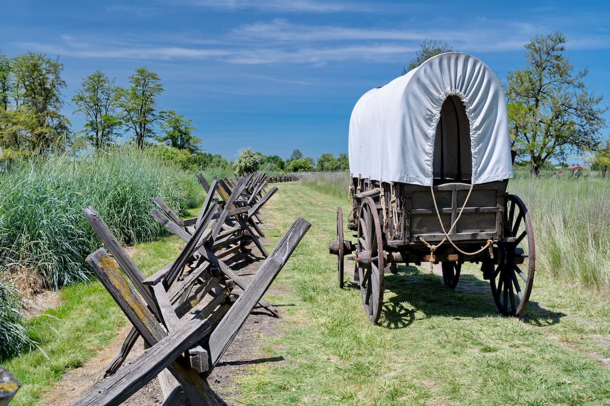
Some years later, the region became an important transit point for travellers along the Oregon Trail, which allowed flocks of migrants to travel through otherwise difficult terrain to the Willamette Valley in western Oregon. The California Gold Rush in the late 1840s and 1850s also led to an increase in travel along the trail.
During the 1860s, however, gold was discovered in the Columbia Plateau region, particularly in the Hells Canyon National Recreation Area, the Umatilla National Forest, and the Wallowa-Whitman National Forest.
The early 1900s saw an increased interest in hydropower damming along the Columbia River and one of its main tributaries, the Snake River, both of which cut right through the middle of the Columbia Plateau. A handful of dams were constructed during this time, though they remain controversial to this day, partially because they interrupt natural salmon migration patterns.
These days, with the exception of the greater Boise area to the southeast of the range and Walla Walla, the Columbia Plateau Region is fairly sparsely populated. This is particularly true when compared to the region directly west of the Columbia Plateau, along the coast of Washington and Oregon, which is home to the major cities of Seattle and Portland.
However, the Columbia Plateau offers excellent opportunities for outdoor recreation, particularly for anyone looking for a bit of solitude in the mountains.
There are a number of great hiking areas within the Columbia Plateau. Here are some of the best places to check out:
Hells Canyon National Recreation Area is located in the easternmost part of the Columbia Plateau to the east of Walla Walla. The recreation area contains 61 named mountains, the highest and most prominent of which is She Devil.
Hells Canyon is located along the Snake River and is known for its rugged terrain. The canyon itself is among the deepest gorges in North America, and is actually deeper than the Grand Canyon in many sections.
There are a number of great hiking trails within the recreation area, including the Eureka Wagon Trail, the Summit Ridge Trail, the Temperance Creek Trail, and the McGraw Rim Hike. Whitewater paddling is also particularly popular in the region.
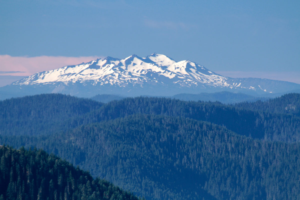
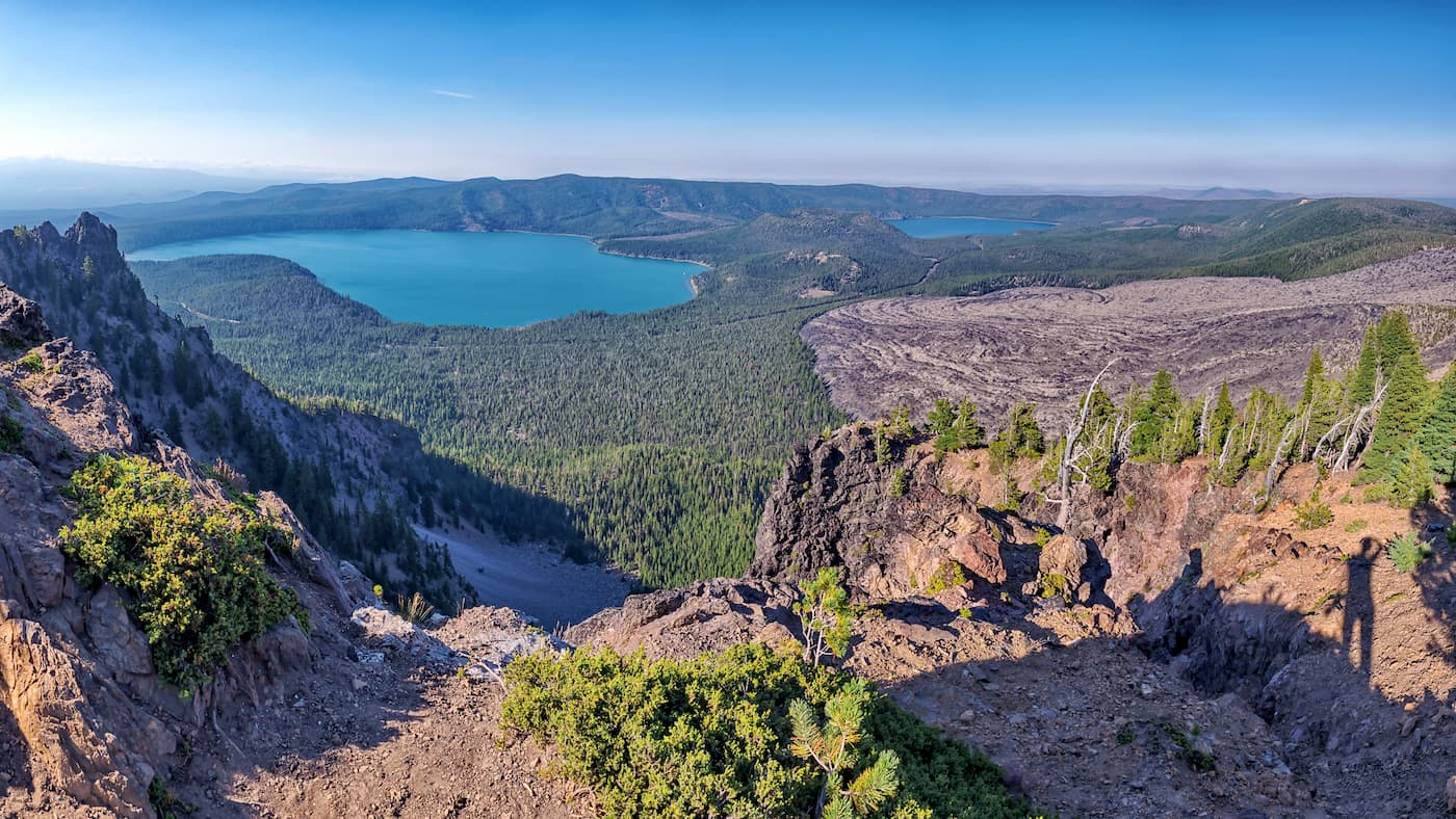
Situated on the westernmost edge of the Columbia Plateau, the Newberry National Volcanic Monument is a federally protected area managed by the Deschutes National Forest that encompasses the Newberry Volcano and the surrounding area. It contains 14 named mountains, the highest and most prominent of which is Paulina Peak.
Interestingly, the region was used for astronaut training during the Apollo Program. These days, it is known for its geological uniqueness and its stunning natural beauty.
Within the monument, there are 2 alpine lakes near the summit area, which are stocked full of trout. There are also plenty of great trails to check out in the monument for people looking for a bit of an adventure.
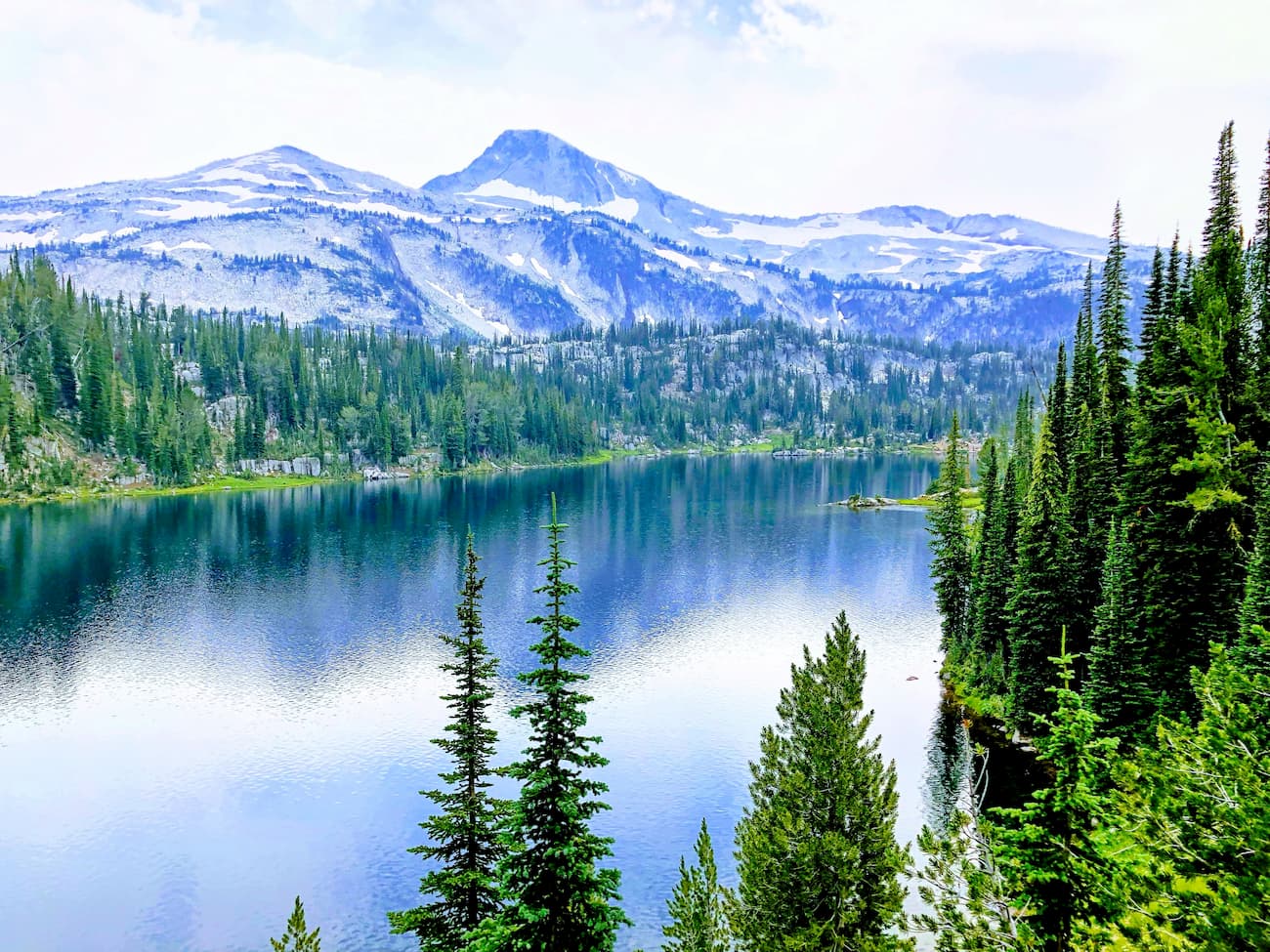
The forest contains a large section of the Wallowa Mountains and the Blue Mountains. It contains a substantial swath of wilderness, including the Eagle Cap Wilderness, the Hells Canyon Wilderness, the North Fork John Day Wilderness, and parts of the Monument Rock Wilderness.
Wallowa-Whitman National Forest is a popular outdoor recreation area. The forest has an extensive network of hiking trails, campgrounds, and other outdoor activities. It contains the Anthony Lakes Ski Area and is the host of the annual Eagle Cap Extreme Dog Sled Race, which allows mushers and their dog teams to qualify for the Iditarod Trail Sled Dog Race in Alaska and the Yukon Quest Race in the Yukon.
Situated in northern Oregon and southern Washington, the Umatilla National Forest is a hub for biodiversity in the region. It contains 67 named mountains, the highest of which is Black Butte, and the most prominent of which is Oregon Butte.
Within Umatilla National Forest, there is an abundance of wildlife, including elk, moose, bighorn sheep, mountain goats, timber wolves, mountain lions, badgers, coyotes, and black bears. In the area’s lakes and rivers, there are also sizable stocks of steelhead, rainbow trout, brook trout, lake trout, coho salmon, and chinook salmon.
The forest is home to approximately 190,700 acres (77,200ha) of old growth forest. It is a popular destination for outdoor recreation, with plenty of hiking and OHV trails to enjoy. There are 2 ski areas within the forest - Spout Springs and Bluewood - as well as a number of popular campgrounds.
Covering much of the east-central part of Oregon, the Malheur National Forest contains some of the most beautiful sections of the Blue Mountains and Strawberry Mountains. The forest covers an area of about 1.4 million acres (566,000ha) and it contains 126 named mountains, the highest and most prominent of which is Strawberry Mountain.
The Malheur River runs through the forest and is one of the major tributaries of the Snake River. These days, the forest is used not only for outdoor recreation, but also for gold mining, cattle grazing, and logging. That being said, it is also home to a large amount of old growth forest, which is estimated to be around 312,000 acres (126,000ha).
Perhaps the most interesting part of Malheur National Forest, however, is a fungus. Indeed, the forest is home to what is believed to be the largest known organism in the world by area, a 2,200 acre (890ha) large Armillaria ostoyae, which is a type of fungus. The fungus is found on a ridgeline to the west of Clear Creek near Grouse Knob.
Here are some of the best places to stay before or after your trip into the Columbia Plateau:
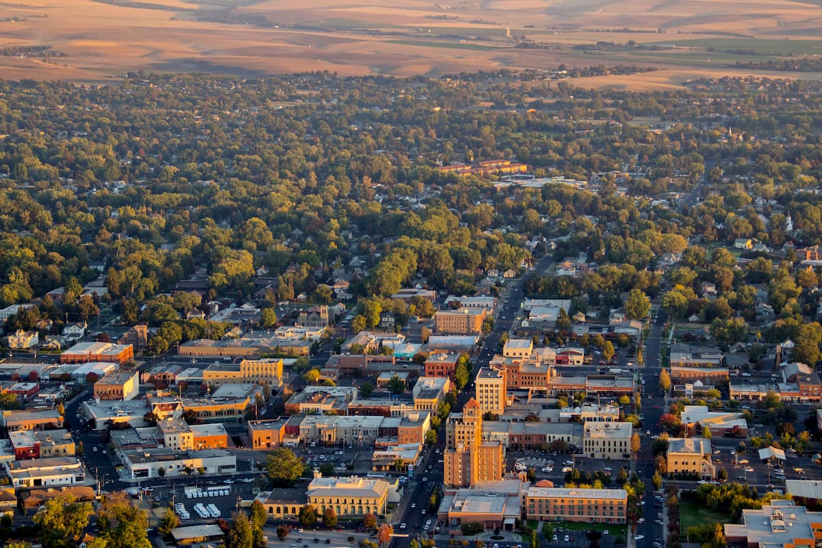
The city of Walla Walla is located in the heart of the Columbia Plateau. It is about a 4 hour drive from both Boise and Portland, so it’s easy enough to get to by road.
Walla Walla is a university town with approximately 31,000 residents. The city is a popular starting point for outdoor recreation in the area, due to its proximity to Hells Canyon National Recreation Area as well as the Wallowa-Whitman National Forest.
Additionally, the city has a small airport which provides regular service to Seattle, where you can connect to destinations around the world.
Boise is the capital and largest city of the state of Idaho. It is located to the east of the Columbia Plateau and is home to over 228,000 people, though some 700,000 people live in the greater metropolitan area.
Boise is the industrial, commercial, and cultural center of the region and the state. It has a burgeoning arts scene and is well located for people looking to adventure in the Idaho-Bitterroot Rocky Mountains or the Columbia Plateau. The city contains the state’s largest airport, which provides good connections around the country.

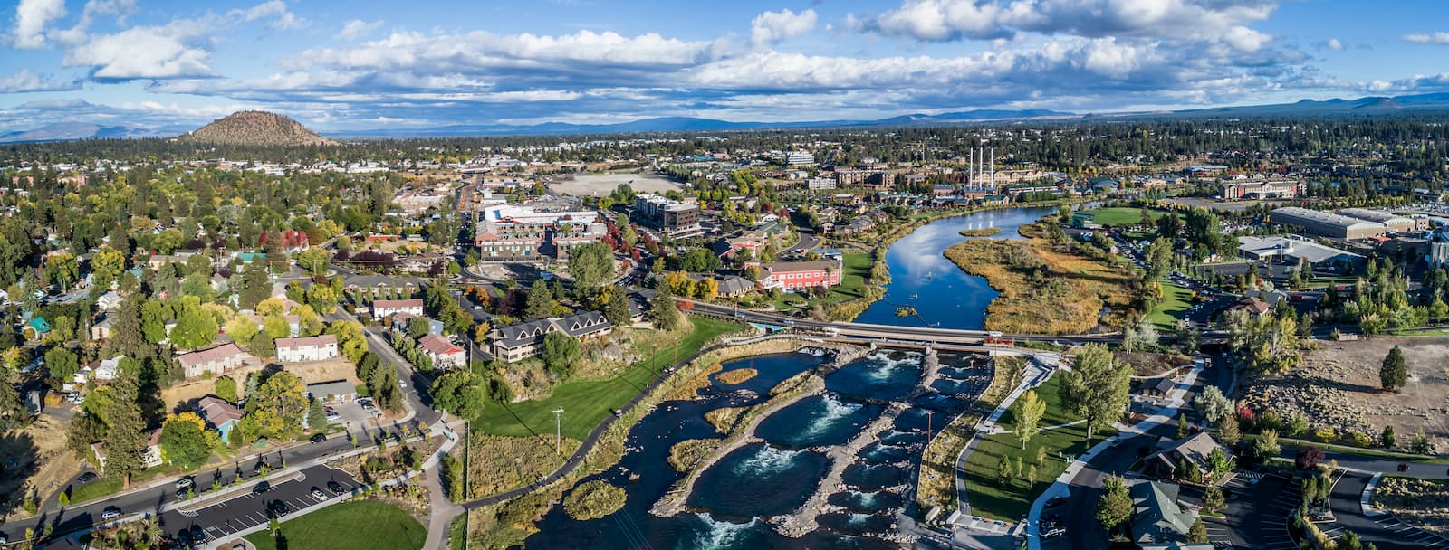
Situated on the western edge of the Columbia Plateau, the city of Bend is home to some 76,000 people. It is a cultural and commercial center of the area, which is otherwise sparsely populated.
The city is particularly popular among outdoor recreationalists, thanks to its proximity to the Cascade Range and some of the state’s most popular public lands. It is located along a bend on the Deschutes River, hence the name.
Bend is fairly easy to get to by road, as it is only 3 hours from Portland, where there is a major international airport. Additionally, the city is served by the Roberts Field airport in Redmond, Oregon, which offers flights to major cities around the western United States.