Get PeakVisor App
Sign In
Search by GPS coordinates
- Latitude
- ° ' ''
- Longitude
- ° ' ''
- Units of Length

Yes
Cancel
❤ Wishlist ×
Choose
Delete
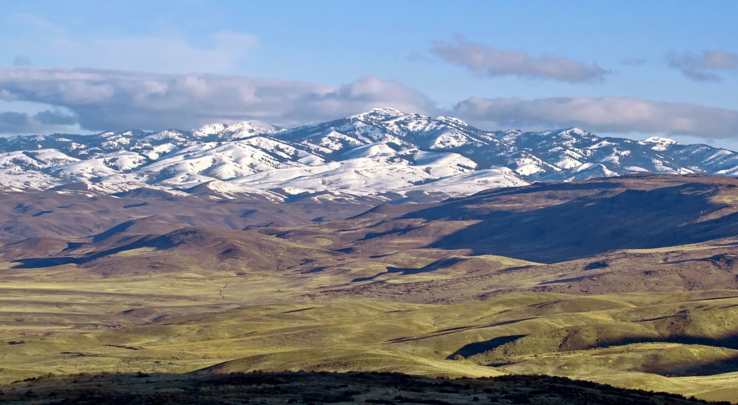
The Hitt Mountains are located in the state of Idaho, just east of the Idaho-Oregon border. There are 13 named mountains in Hitt Mountains. The highest and the most prominent mountain is Sturgill Peak. At 7,589 feet, Sturgill Peak is the 15th most prominent Idaho summit. Just 2.5-miles north sits Hitt Mountain with an elevation of 7,402 feet. The Hitt Mountains sit adjacent to the Cuddy Mountains and share similar landscapes.

The Hitt Mountains are characterized by high desert with little tree coverage, expansive views, and rolling peaks. While there are many hikes to the surrounding summits, some peaks in the region have hard dirt roads that lead to the top.
While there is a road to the summit, there is also a prominent hiking trail. The 8.5 mile out and back trail has 3,000 feet of elevation gain to reach the summit. The open trail climbs the saddle of the mountain with the final destination visible in the distance. Once at the summit there is a fire lookout that provides 360-degree views of the surrounding valley and distant Wallowa Mountains in eastern Oregon.
As the second highest summit in the Hitt Mountains, the hike to the summit offers expansive views of the surrounding area. A saddle sits between Hitt Mountain and Sturgill Peak acting as the main trail to reach the summit. Similar to nearby Sturgill Peak, the summit of Hitt Mountain offers views of the valley below and the Wallowa Mountains to the west.
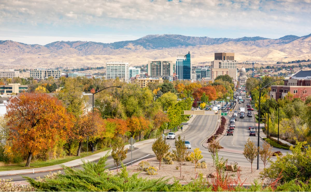
The city of Boise is the capital of the state of Idaho and the most populous city in the state. Situated on the Boise River, the city is 41 miles east of the Oregon border and 110 miles north of the Nevada border. The Boise metropolitan area contains the state’s three most populous cities; Boise, Nampa, and Meridian with a total population of 710,000. The city is known as “The City of Trees” and the downtown area is full of shops and local dining options. The town is home to numerous recreational opportunities which include hiking and biking. Boise is also home to the Boise River Greenbelt which is an extensive urban trail system along the Boise River.

Explore Hitt Mountains with the PeakVisor 3D Map and identify its summits.


