Scan the QR code and open PeakVisor on your phone
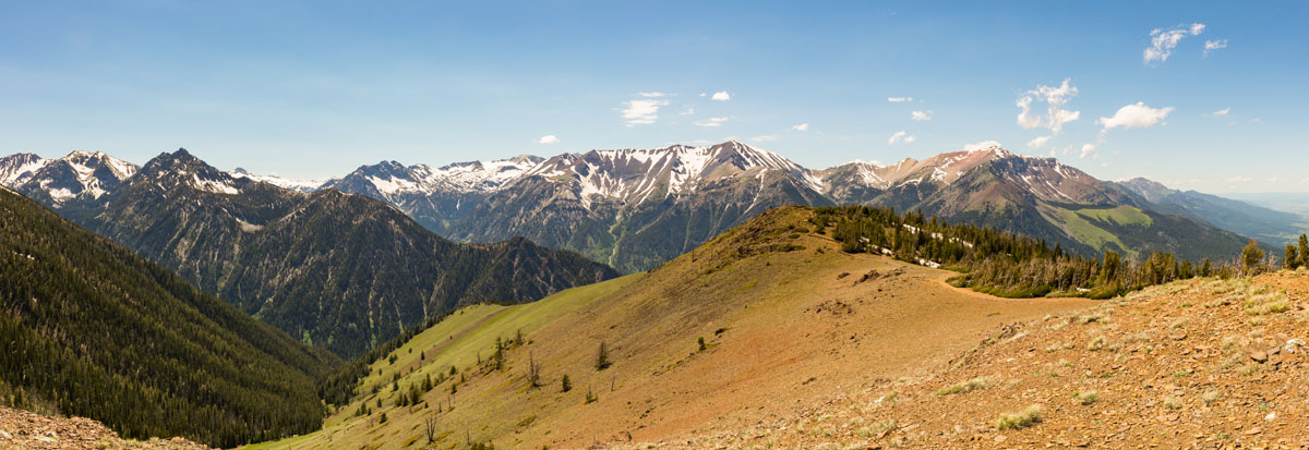
Admirably known as the “Alps of Oregon,” the Wallowa Mountains are home to some of the tallest peaks outside of the Cascades. The Wallowa Mountains are located in the Columbia Plateau of northwest Oregon and span approximately 40 miles between the Blue Mountains and the Snake River. In fact, the jagged summits of the Wallowa Mountains are often mistaken as an eastern spur of the Blue Mountains.
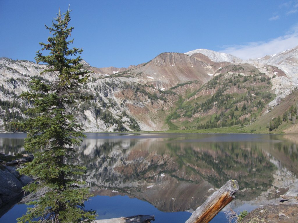
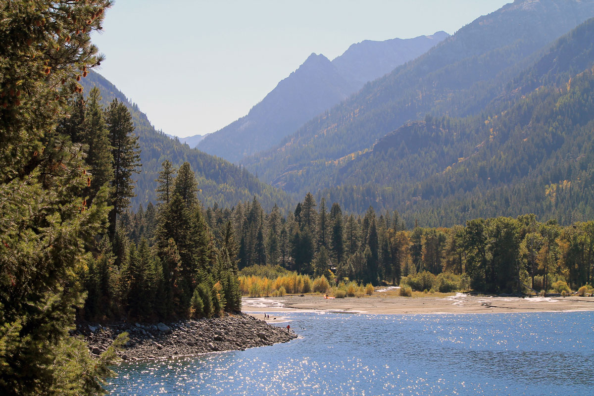
Tucked mostly within the Eagle Cap Wilderness, the Wallowa Mountains are known by locals as a high-alpine wonderland and one of Oregon’s “best-kept secrets.” Understandably, it’s not uncommon to hear the Wallowas referred to as one of the ‘7 wonders of Oregon.” Afterall, there are at least over 30 summits that reach over 8,000 feet in elevation, making this range the largest alpine area in the state.
The Wallowa Mountains are relatively remote and are pretty far removed from metropolitan areas of Oregon. As a result, a bit of extra work is required to visit this range. The Eagle Cap Wilderness area, however, encompasses over 360,000 acres and is well-known amongst backcountry travelers. The rugged, remote beauty within this wilderness area and the surrounding Wallowa peaks are reasonably popular amongst locals, particularly backpackers, experienced hikers, and climbers.
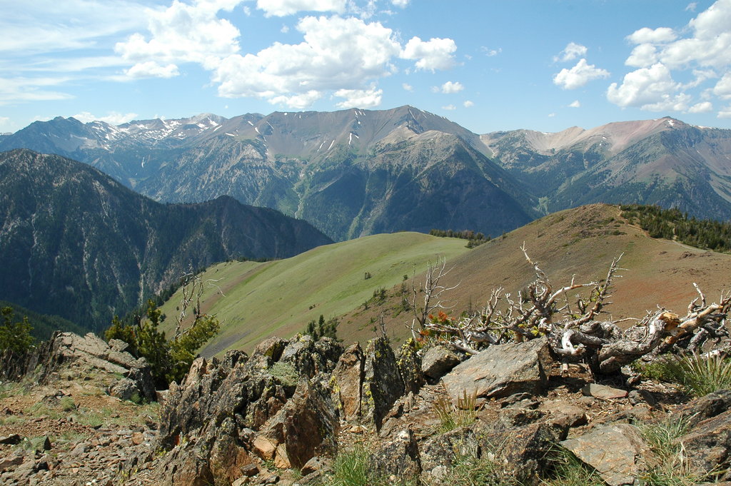
More than 500 miles of hiking trails exist in the Wallowas, traversing to summits, alpine lakes, hanging valleys, ice fields, and subalpine meadows. While technical routes exist on some of the Wallowa summits, like Twin Peaks, most of them can be accessed via lengthy hiking trails or scramble routes.
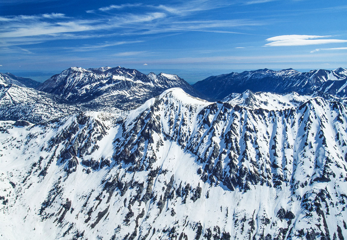
The two most notable and reputable peaks in the Wallowa Mountains are Sacajawea Peak and Matterhorn. These two peaks are the sixth and seventh highest mountains in Oregon. However, there has been quite a bit of debate related to which mountain is higher in elevation. Despite being relatively close in altitude, however, Matterhorn is noticeably more prominent, with a prominence of 4,678 feet.
Interestingly, Sacagawea is actually connected to Matterhorn by a set of high ridges. Nearby, another high pass connects the Hurwall Divide to Chief Joseph Mountain, another notable set of peaks in this range. However, these particular mountains and high ridges form an isolated group that is separated from the rest of the Wallowas.
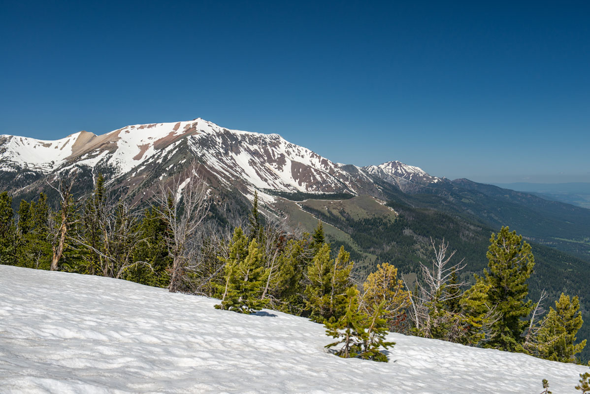
Eagle Cap, arguably the most frequented peak in the range, is known as being the centerpiece of the Eagle Cap Wilderness and stands out among surrounding summits. Although this peak isn’t the highest or more prominent in the range, the views from the top of this mountain are considered to be the best in the area.
The previously mentioned Twin Peaks, a recognizable pinnacle of the Wallowas, is one of the tallest and most challenging peaks to climb in the range. Unfortunately, in the early 1900’s, one of the Twin Peaks collapsed down the southwest slope and only one peak is available to be ascended.
Additional noteworthy peaks in the Wallowas include Glacier Mountain, Pete’s Point, Sentinel Peak, East Peak, and Aneroid Peak.
In most cases, a day hike (although there are several available) will not do the Wallowa Mountains justice - these mountains are generally enjoyed via long-distance, multi-day hiking trails. That being said, there are three notable backpacking loops within the Wallowa Mountains. The Wallowa River Trail (36 miles) is considered the primary gateway into the Eagle Cap Wilderness and is easily accessible from Wallowa Lake. The East Eagle-Imnaha Loop (39 miles) is a modest trail that loops three alpine passes. The Eagle Creek-West Eagle Loop (35) miles, is known for hikers seeking complete solitude. This trail approaches the Wallowas from the less-frequented, southwest corner of the wilderness area.
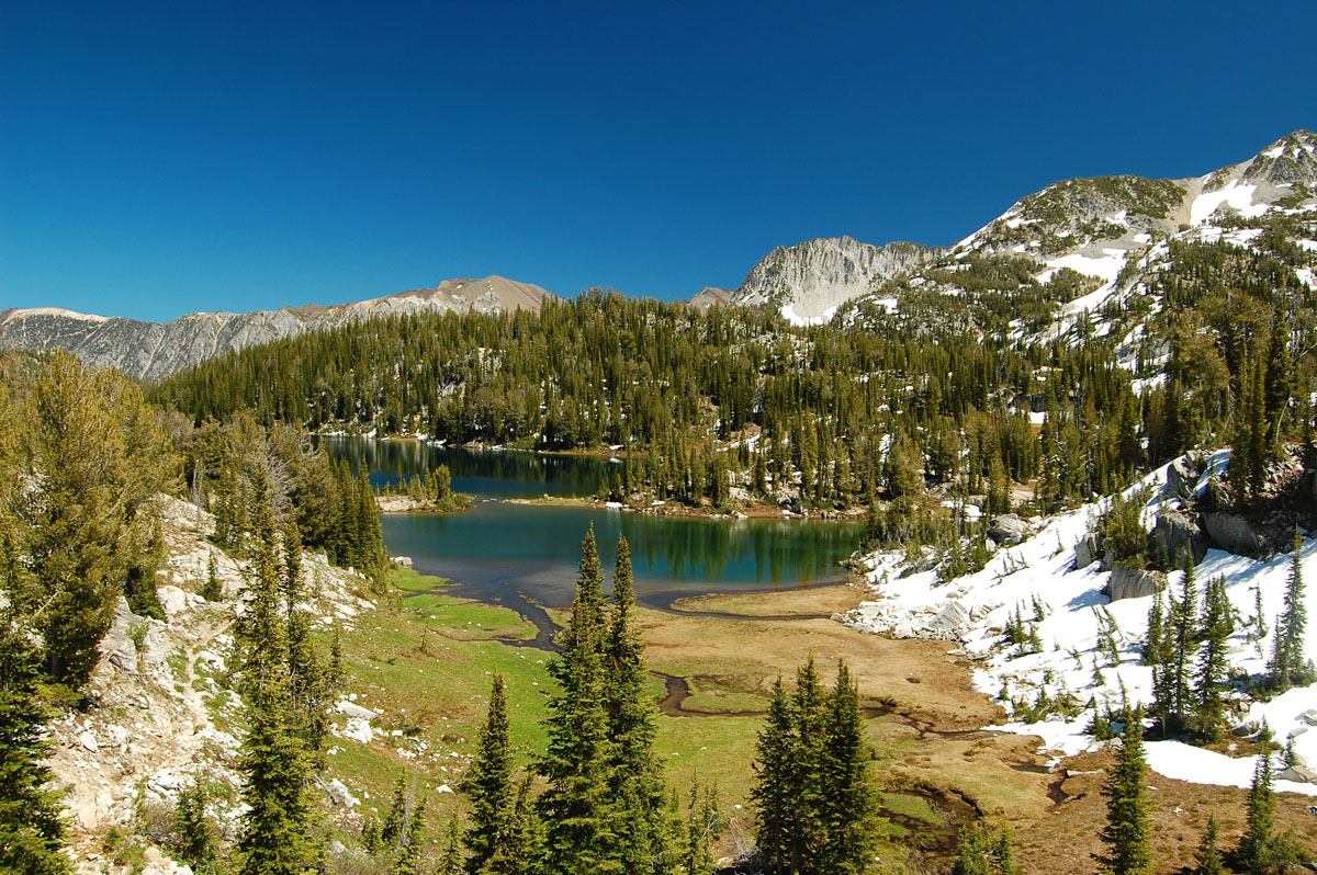
The Bonny Lakes Trail is a scenic hike that traverses a glacial canyon through vibrant wildflowers, lush forest, and rocky basalt bluffs before reaching a pair of pristine, alpine lakes. Beginning at over 6,400 feet in elevation, the Bonny Lakes trail offers visitors a unique experience of high-altitude hiking without the challenging, steep ascents. This 7.8-mile trail can be tackled as a day hike or an overnight trip.
Generally, the Wallowas are explored as a backcountry range, mostly because it takes days to reach the heart of the range. However, the trek to Eagle Cap can be reached in a single day, which makes it a popular destination for day hikers in the Wallowas. Don’t be mistaken, this day-hike still requires hiking 20 miles and climbing over 4,000-feet in elevation, so it’s not for the faint of heart. However, at the summit, you can expect sweeping, 360-degree views of the surrounding wilderness.
Most visitors to the Wallowas will take the Wallowa Lake Tramway 3,700 feet up to the top of Mount Howard. At the summit, a relatively short trail traverses the southern ridge to the top of nearby Aneroid Mountain. The broad, sweeping summit of Mount Howard offers visitors the perfect opportunity to appreciate the surrounding alpine and subalpine terrain and offers incredible views of the Wallowa Valley.
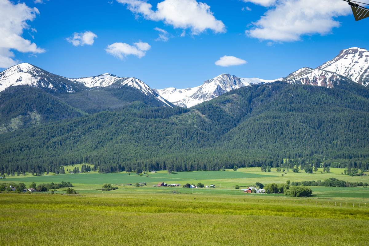
When most people think of the Wallowa Mountains, they think of Joseph, quaint little mountain town surrounded by low raging rivers, high mountain passes, and sapphire lakes. The town itself is filled with artists, art galleries, life-sized bronze sculptures, charming restaurants and coffee shops. Joseph and the surrounding landscape are known to be sacred and the adjacent Nez Perce National Historical Park and Monument allow visitors to learn about the Nez Perce Tribe that once thrived in this region. Joseph is often referred to as “the best little town in Oregon,” and is catered to outdoor enthusiasts and art connoisseurs alike. The Eagle Cap Wilderness sits in Joseph’s backyard, making this an excellent option for exploring the surrounding summits, trails, and lakes.
Just 6 miles from Joseph, on the shores of Wallowa Lake, lies the historic Wallowa Lake Lodge, which has offered visitors a peaceful, mountain retreat since 1923. Just a short hike from the lodge visitors can take an aerial tram or jump on maintained footpaths to nearby waterfalls, meadows, and alpine peaks. There are a total of 22 reservable rooms and eight rustic cabins available for visitors - many of which offer wetland or lakeside views.
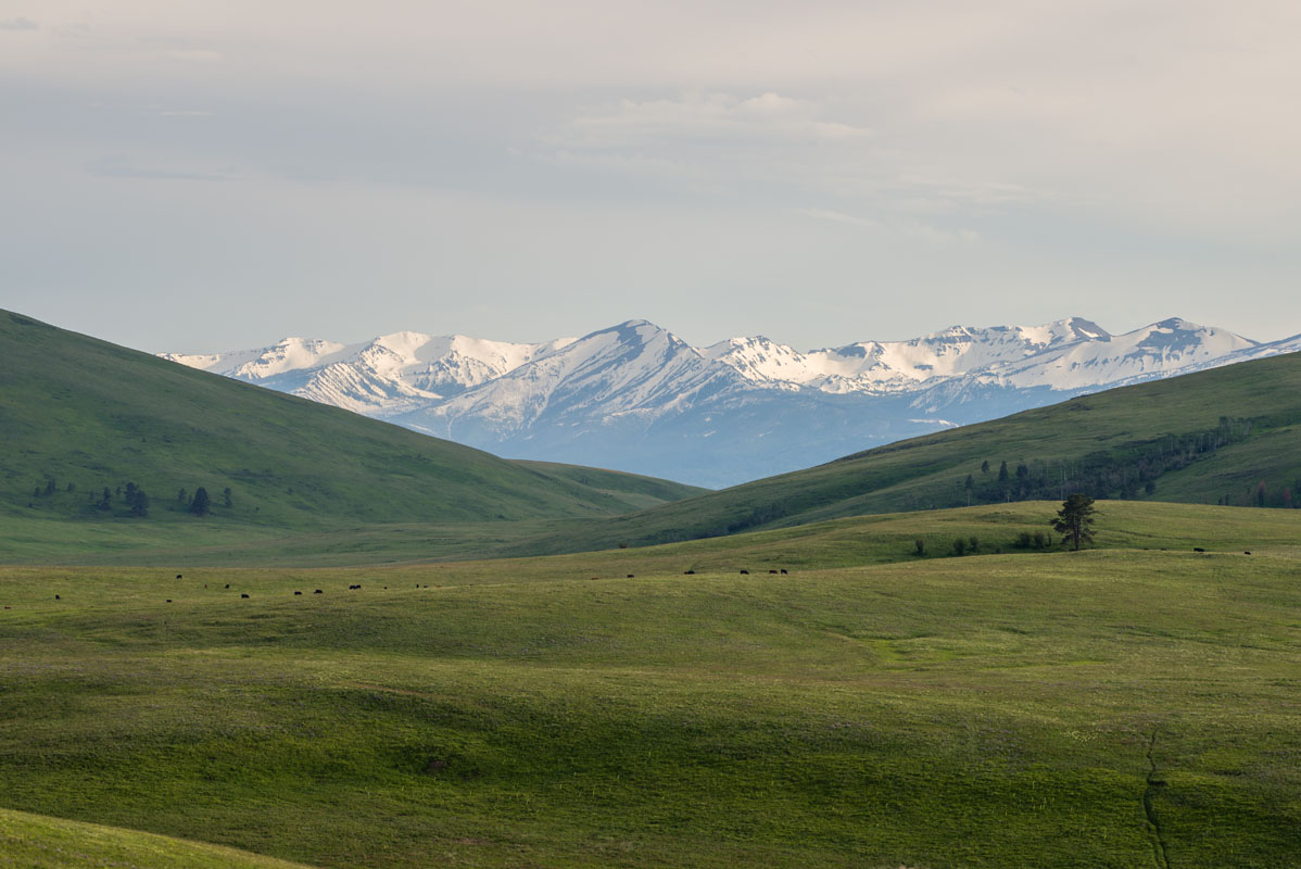
Enterprise, the largest town in Wallowa County, is home known mostly for its historic buildings and landmarks. However, like Joseph, the Wallowa Mountains define the backdrop of this small town and the Eagle Cap Wilderness is nearby. This pioneer town sits within the scenic Wallowa Valley, the ancient home to the Nez Perce, and boasts a truly authentic, charming ambiance. There is also plenty of dining, accommodations and amenities available in Enterprise, for travelers to nearby wilderness areas.