Scan the QR code and open PeakVisor on your phone
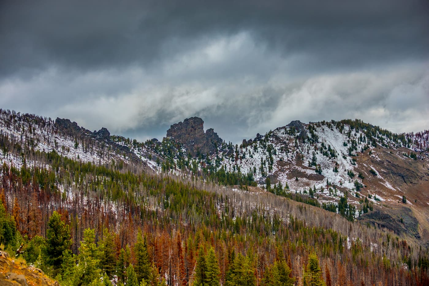
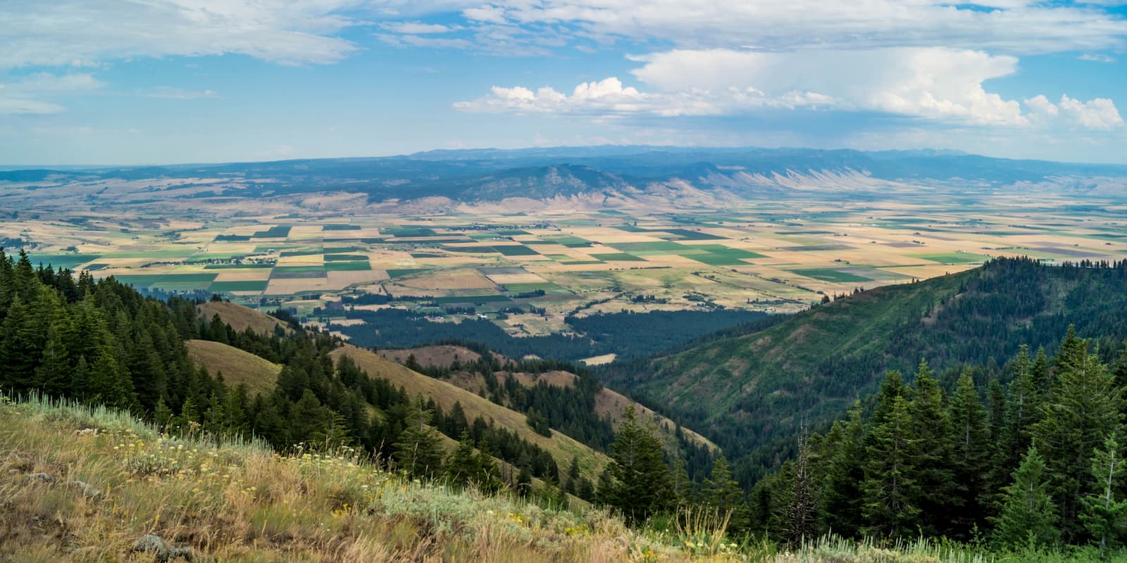
The Malheur National Forest is located in eastern Oregon in the United States and spans 1.4 million acres, with 312,000 acres of old growth forest. The forest is home to the largest known organism in the world, by area; an Armillaria ostoyae (a fungus) that stretches 2,200 acres. There are 126 named mountains in Malheur National Forest. The highest and the most prominent mountain is Strawberry Mountain at 9,038 feet. Elevations in the region range from 4,000 feet up to the summit of Strawberry Mountain. The Strawberry Mountains extend through the Malheur National Forest east to west.
The forest was established back in 1908 and was named after the Malheur River. Malheur was named after the French word meaning “misfortune”. Managed by the United States Forest Service, the region is used for timber extraction, cattle grazing, gold mining, and wilderness use. Much of the forest consists of high desert grasslands along with sage, juniper and pine trees. The forest encompasses two wilderness areas: Strawberry Mountain Wilderness stretches 68,700 acres while the Monument Rock Wilderness covers 19,620 acres.
Also, within the Malheur National Forest lies Vinegar Hill-Indian Rock Scenic Area. This area, in the northeastern region of the forest, is a high elevation scenic area that offers expansive views of the surrounding region. The three ranger districts in the forest that have offices are John Day, Prairie City, and Hines.
The most popular ascent up Strawberry Mountain is via the Strawberry Basin Trail. The route is 12 miles out and back with 3,372 feet of elevation gain. The trail climbs steadily up through the forest, past Strawberry Lake, before finally ascending up the mountain. Throughout the hike the trail passes by lakes, waterfalls, and alpine meadows before reaching the summit. As the tallest peak in the Malheur National Forest, the views from atop Strawberry Mountain are the best in the area. The forest stretches in all directions with views of the lakes below.
The trail up to Strawberry Lake and Little Strawberry Lake, is 6.2-miles roundtrip with 1,374 feet of elevation gain. The trail climbs steadily up through the forest before clearing at Strawberry Lake. Up further lies Little Strawberry Lake. Both lakes provide backcountry camping as well as camping at the trailhead. Each lake is set in a bowl and surrounded by majestic are rugged peaks.
The trail through the Monument Rock Wilderness is 4.6-miles with just 250 feet of elevation gain. This route is unique and rugged as the trail starts at 7,500 feet. Throughout the trail are panoramic views of eastern Oregon, open sage-covered plateau, as well as the rock that gives the wilderness its name.
Slide Lake Trail is 7.7 -miles with 2,024 feet of elevation gain. In the summer months the trail is abundant with wildflowers and butterflies. A few miles into the trail, the route overlooks nearby Strawberry Lake. The trail turns around after hiking around Slide Lake, a quaint lake perfect for a mid-hike meal or campsite for the night.
While there are not any major cities in much of eastern Oregon, La Grande sits at the foothills of the Wallowa Mountains. The city is located in the Grande Ronde Valley and has a population just under 15,000. It sits east of the Blue Mountains and west of the Wallowa Mountains. Mount Emily sits north of the town, towering over its streets. The small town is a great place to stop on your way to the Eagle Cap Wilderness, grab a bite to eat or check out the many local shops.
Four hours east of the Malheur National Forest sits Boise. The city of Boise is the capital of the state of Idaho and the most populous city in the state. Situated on the Boise River, the city is 41 miles east of the Oregon border and 110 miles north of the Nevada border. The Boise metropolitan area contains the state’s three most populous cities; Boise, Nampa, and Meridian with a total population of 710,000. The city is known as “The City of Trees” and the downtown area is full of shops and local dining options. The town is home to numerous recreational opportunities which include hiking and biking. Boise is also home to the Boise River Greenbelt which is an extensive urban trail system along the Boise River.

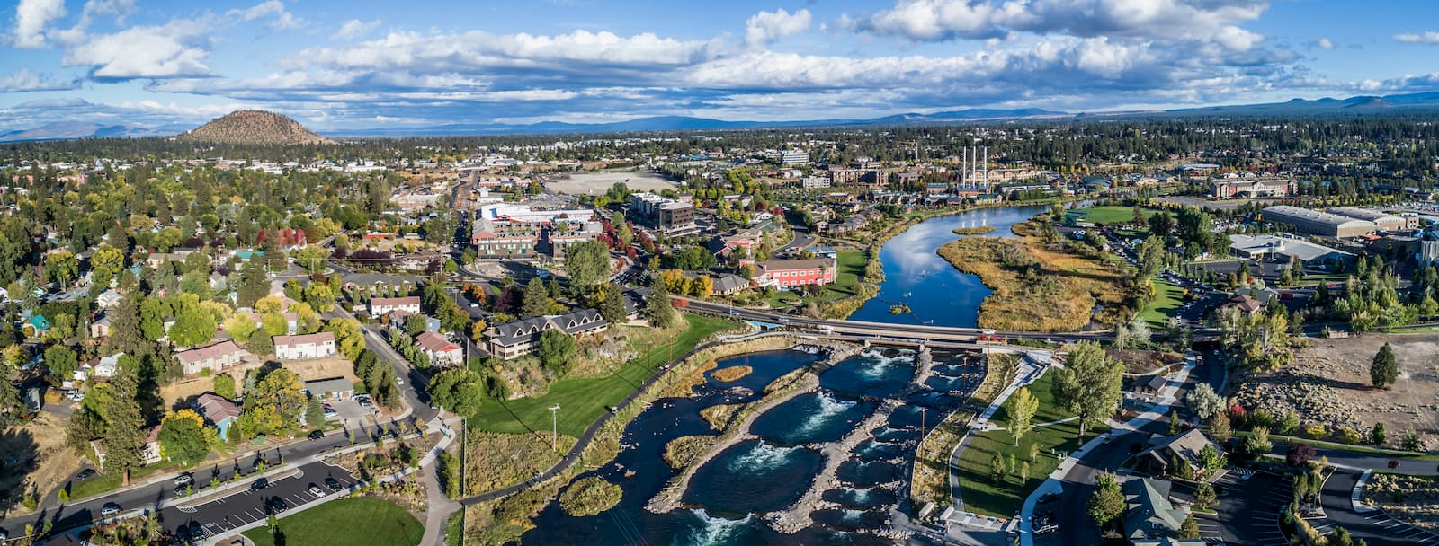
Bend is the largest city located in eastern Oregon with a population of nearly 100,000 and it sits three hours west of the Malheur National Forest. The city is located on the Deschutes River and is known for being an outdoor paradise. To the west lies the lake and peaks of the Cascade Mountains, along with Mount Bachelor Ski Resort, while a trail in the city leads to the top of Pilot Butte. To the south lies the High Desert Museum and Newberry National Volcanic Monument. Just north of town is one of the state’s most iconic rock-climbing locations, Smith Rock State Park. As a whole, the city is a mecca for trail running, skiing, mountain biking, hiking, rock climbing, and even surfing in the river. Besides the abundance of outdoor activities, Bend is known for its numerous breweries and restaurants.