Scan the QR code and open PeakVisor on your phone
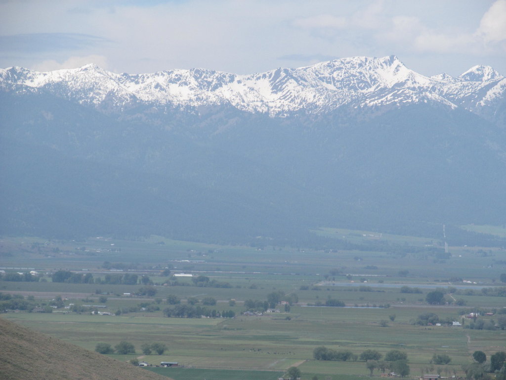
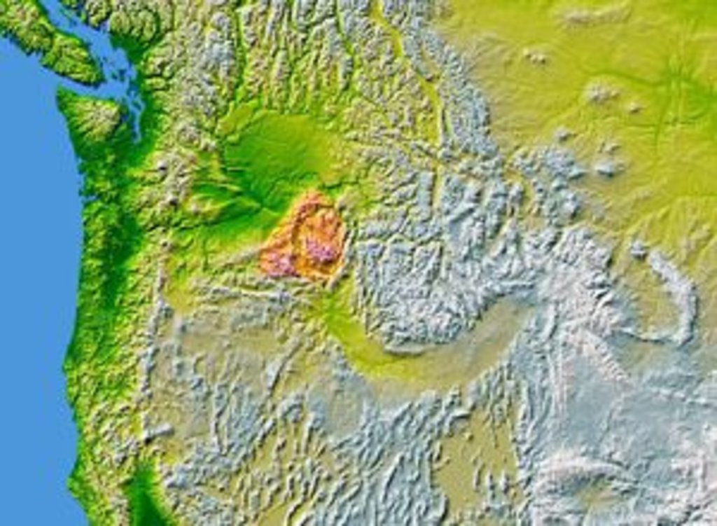
The Blue Mountains sit mostly within northeastern Oregon, although portions of the range also reach into nearby southeastern Washington. Covering an area of over 4,000 square miles, the Blue Mountains span eight counties between the Snake River and Pendleton. Interestingly, this range earns its name from the blue hue they emanate at a distance.
Geologically, the Blue Mountains sit within the rain shadow of the Cascade Range, and as part of the Columbia River Plateau, they are characterized by a semi-arid climate. This region also contains the Wallowa Mountains, Elkhorn Mountains, and Strawberry Mountains.
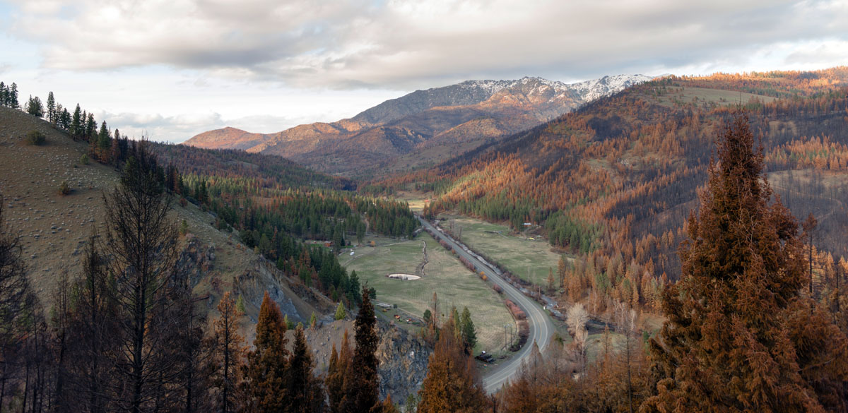
The range is highly accessible and is traversed by both Interstate 84, which crosses the crest of the range at approximately 4,193 feet, and U.S. Route 26, which crosses the southern portion of the range and crosses the Blue Mountain summit. In fact, the Blue Mountain Scenic Byway spans 125 miles directly through the Blue Mountains and surrounding wilderness areas. A large portion of the range also sits within the Malheur National Forest, Umatilla National Forest, and Wallowa-Whitman National Forest.
Most locals refer to the Blue Mountains as simply, “The Blues,” and consider this range to be one of the state’s best-kept secrets. Despite being relatively accessible, the Blues are not as popular amongst visitors to Oregon or Washington.
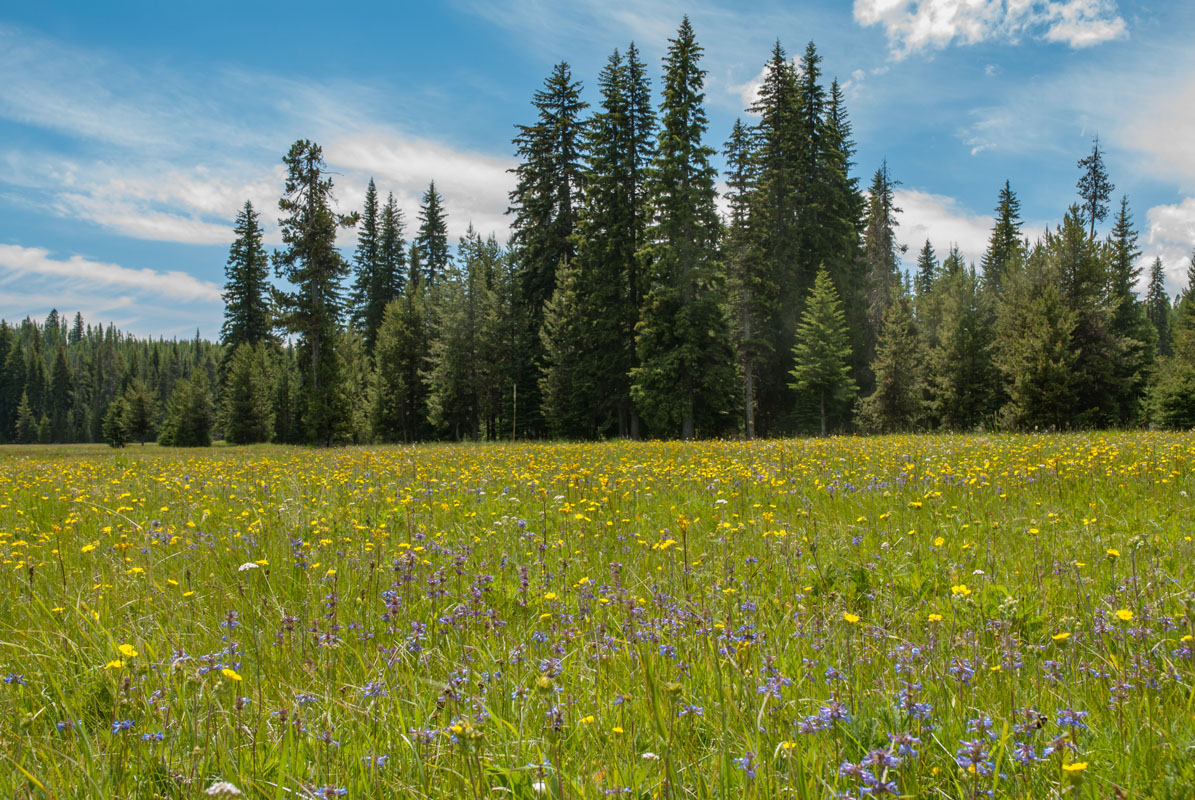
Nonetheless, the Blues support incredibly diverse ecosystems and wildlife. In fact, the Blue Mountains are home to one of the largest herds of Rocky Mountain Elk, as well as the only Moose in Oregon. In recent years, even wolves have been spotted roaming this range. The Blue Mountain Wildlife Center and the Blue Mountain Audubon Society are excellent places to observe and learn about wildlife you can encounter while exploring the Blue Mountains.
The human history of the Blue Mountains is equally as fascinating. Native tribes, including the Walla Walla, Umatilla, and Cayuse, once utilized the lush lands and rivers both in and around the Blue Mountains. Not to mention, in the mid-1800s, the Blues stood between Oregon Trail emigrants and their final destination along the Columbia River Gorge.
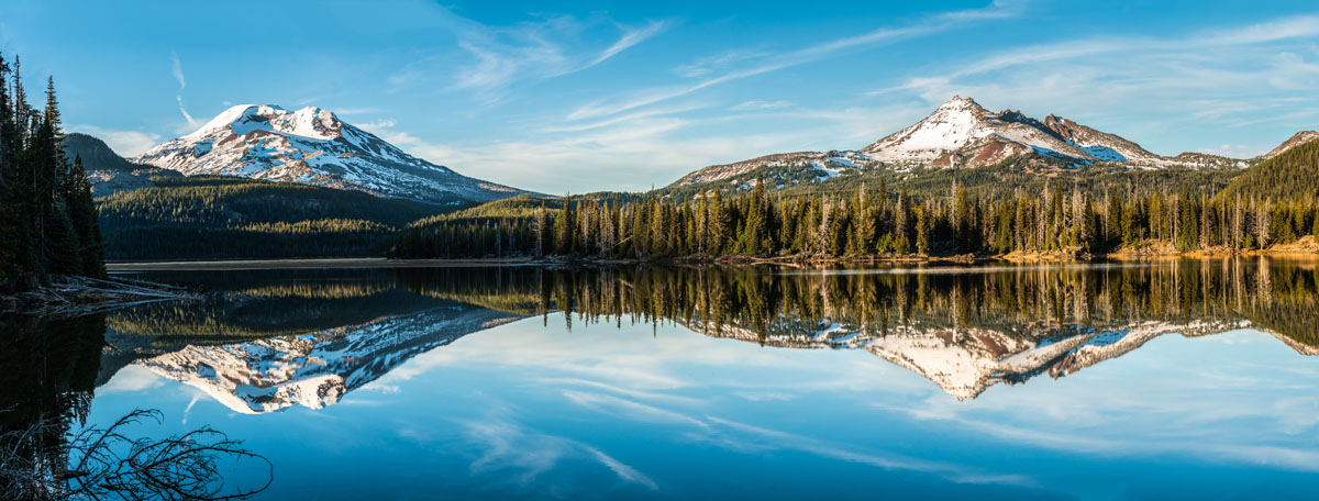
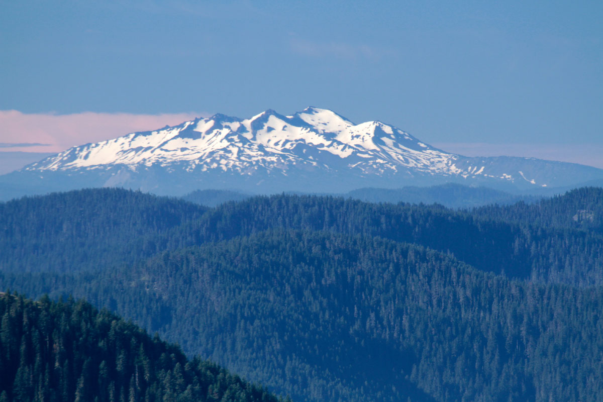
In comparison to the Cascades and other nearby northwest ranges, the Blue Mountains are a small, young range with modest peaks. In fact, the highest peak in the range is Rock Creek Butte, which sits at just 9,104-feet in elevation. Arguably the most well-known summit in the Blues, Mount Misery, rises to just 6,368 feet. Mount Misery is a popular stop in the Blues and only requires a 20-minute walk to reach the summit. Nearby, another relatively reputable mountain, Diamond Peak, offers hikers a similar panoramic view of the surrounding summits and wilderness but requires a little bit more effort.
Additional noteworthy peaks in the Blue Mountains include Red Mountain, Elkhorn Peak, Twin Mountain, Van Patten Butte, and Angel Peak.
The Umatilla National Forest contains 1.4 million acres of diverse landscape and contains over 700 miles of trail for hikers, backpackers, and horseback riders to explore. Popular trails include the 1.9-mile Grouse Mountain Trail, the 12.1-mile Umatilla Rim Trail, the 18.6-mile South Fork Walla Walla Trail, more challenging 31-mile Wenaha River Trail.
The 1.7-million-acre Malheur National forest is also located in the heart of the Blue Mountains in Eastern Oregon. This vastly diverse forest contains both high desert grasslands, dense forest, hidden alpine lakes, and subalpine meadows. Malheur offers more than 240 miles of trails ranging from short day hikes to challenging multi-day treks. Popular trails include Lookout Mountain, Buckhorn Meadows, Strawberry Lakes, and the Malheur River Trail.
Anthony Lakes sits at a base elevation of 7,100 feet – the highest in Oregon. Described as a family-friend winter playground, Anthony Lakes is the perfect place to catch a line, explore Nordic trails, or venture out on over 1,100 acres of skiable terrain. Anthony Lakes is also a full-service lodge, which means when you’re done playing in the snow you can cozy up to a fireplace or grab a drink at the Starbottle Saloon. Although winter is definitely the most popular season at Anthony Lakes, this is also a great summer destination for mountain bikers, hikers, and campers. In addition to Yurt rentals, there are various accommodations, hotels, restaurants, and, with a permit, you can even park your RV overnight.
Receiving over 300 inches of snow annually, the Bluewood Ski Area is known to offer some of the best tree skiing in the state of Washington. Bluewood is easily accessible from several nearby cities and offers over 400 skiable acres, as well as 24 trails, three terrain parks and a variety of snowcat accessible terrain. Not to mention, this ski area occupies the second-highest base elevation in the state! The lodge is equipped with a rental and repair shop, a food service area, a pub, and personalized ski lessons. Although accommodations are not available directly at the Bluewood Ski Area, a ‘Stay and Play’ package allows visitors to stay at a nearby hotel and take advantage of a discounted lift ticket.
The self-proclaimed “Gateway to the Blues,” Heppner sits right at the doorstep of the Blue Mountains and Umatilla National Forest. Heppner is infamous for its historic walking tour, which highlights several turn-of-the-century buildings. However, outdoor enthusiasts appreciate Heppner for it’s old-town charm and access to outdoor recreation. In fact, Heppner is home to 6,200 acres of riding, snowmobiling, and cross-country ski trails. Most visitors that drop by Heppner hop on the infamous Blue Mountain Scenic Byway to get up close and person with the Blues.
Walla Walla is a vibrant city packed with quirky vintage shops, boutiques, cafes, and quaint, tree-lined streets. The Blue Mountains sit right outside of the city, providing plenty of opportunities to spend the day trekking to alpine or exploring the many trails in the area. Mill Creek and Bennington Lake, in particular, are popular destinations for visitors to Walla Walla. There are a variety of unique accommodations, attractions, and amenities within Walla Walla’s city limits.


.jpg)