
Scan the QR code and open PeakVisor on your phone
The Strawberry Mountains include 45 named peaks. The highest is Strawberry Mountain at 2,758 m. Other notable peaks include Graham Mountain, Indian Spring Butte and Slide Mountain.
The Strawberry Mountains, which is also referred to as the Strawberry Range, sit within the Malheur National Forest in Oregon. Also within the Malheur National Forest, the Strawberry Mountain Wilderness stretches over 68,700 acres of pristine mountain wilderness. This region supports an incredibly diverse ecological composition, including five of the seven major life zones in North America. It goes without saying, but the Strawberry Mountain Wilderness is dominated by the strawberry mountains and contains notable peaks like Strawberry Mountain, Graham Mountain, and Indian Spring Butte. Strawberry Mountain, the tallest peak in the range, is the most prominent and well-known peak in the Strawberry Mountains and surrounding wilderness.
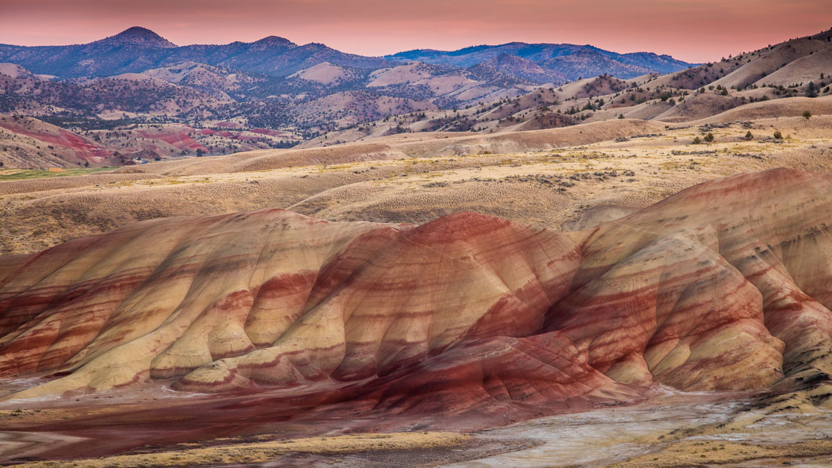
A subrange of the Blue Mountains, there are just 41 named peaks in the Strawberry Mountains. The geology of the range varies significantly from east to west. The western side of the range contains the Canyon Mountain Complex, a layered “ophiolite” sequence that is over 200-million years old and formed portions of notable volcanic mountain ranges like the Aleutians. The eastern part of the range, however, is dominated by volcanic rock that is nearly 14 million years old. This section of the Strawberry Mountains was once a volcano that might have resembled Mount Hood.
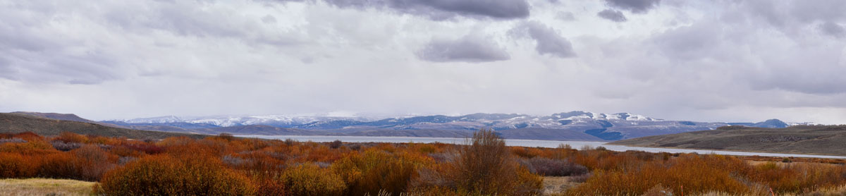
When most people mention to the Strawberry Mountains, they’re generally referring to the surrounding Strawberry Mountain wilderness area. Extensive glaciation has hollowed out U-shaped valleys and has formed seven incredible alpine lakes in this region. Elevations generally range from 4,000 to over 9,000 feet, and indigenous Rocky Mountain elk can be found roaming throughout the landscape. There is also a healthy number of black bears, cougars, mink, antelope, and mule deer. Of course, the Strawberry Mountains wouldn’t be complete without their namesake attraction, wild strawberries, which speckle the landscape throughout July. However, despite the plethora of craggy peaks, picturesque valleys, and alpine lakes, this region remains relatively unknown and unexplored, even by locals.
Additional noteworthy summits in the Strawberry Mountains include Slide Mountain, Rabbit Ears, Canyon Mountain, and Lookout Mountain.
Reach the very top of the Strawberry Mountains by hiking this 17-mile trail to the top of Strawberry Mountain. This trail is said to traverse some of the very best scenery in the range, crosses several high-mountain passes, and features several scenic alpine lakes. Just a mile from the trailhead, hikers can stop at Strawberry Lake and set up a tent for the night. Just keep in mind, this well-maintained footpath climbs 4,500 feet in elevation, so it’s not for the faint of heart.
Canyon Mountain is the westernmost summit in the Strawberry Mountains, and this 2200’ ascent features incredible views of both the John Day Valley and Canyon Mountain. There is no direct access to the summit of Canyon Mountain, but the Canyon Mountain Trail crosses the northern flanks of the peak. In 2015, a wildfire burned portions of this region, so you should expect to travel through some burn areas on your way to the top.
Slide Lake isn’t nearly as popular as Strawberry Mountain and it requires a little extra effort to reach, but it’s equally as beautiful. The trek to Slide Lake is approximately 4-miles and travels under shady pine forest and through open meadows. This hike also features spectacular views of the John Day Basin and the surrounding Blue Mountains. In addition to a campsite, Slide Lake offers several other spur trails for further exploration. Upper Slide Lake, High Lake, and Lollypop Loop are all nearby.
Just 2 miles north of Canyon City, John Day sits at the intersection of U.S. Routes 26 and 395. John Day is a quaint, historic town known for its cattle drives, Timber Trucker Parades, and small-town ambiance. This tiny town is also infamous for housing the John Day Fossil Beds National Monument, which demonstrates this region’s remarkable geological past. There are plenty of accomodations, restaurants, and facilities available to visitors, so if you’re planning a trip to the Strawberry Mountains, John day is an excellent place to stop along the way.
Founded on the discovery of gold in Canyon creek, this old Gold Rush town sits just outside of the Strawberry Mountain Wilderness, and is the ideal basecamp for hiking, camping, fishing, and even cross-country skiing. Canyon City has a variety of accommodations, restaurants, shops, and attractions including the Grants County Oregon Historical Museum.

The highest peak in the Strawberry Mountains is Strawberry Mountain, at 2,758 m.
The Strawberry Mountains have 45 named peaks.


