
Scan the QR code and open PeakVisor on your phone
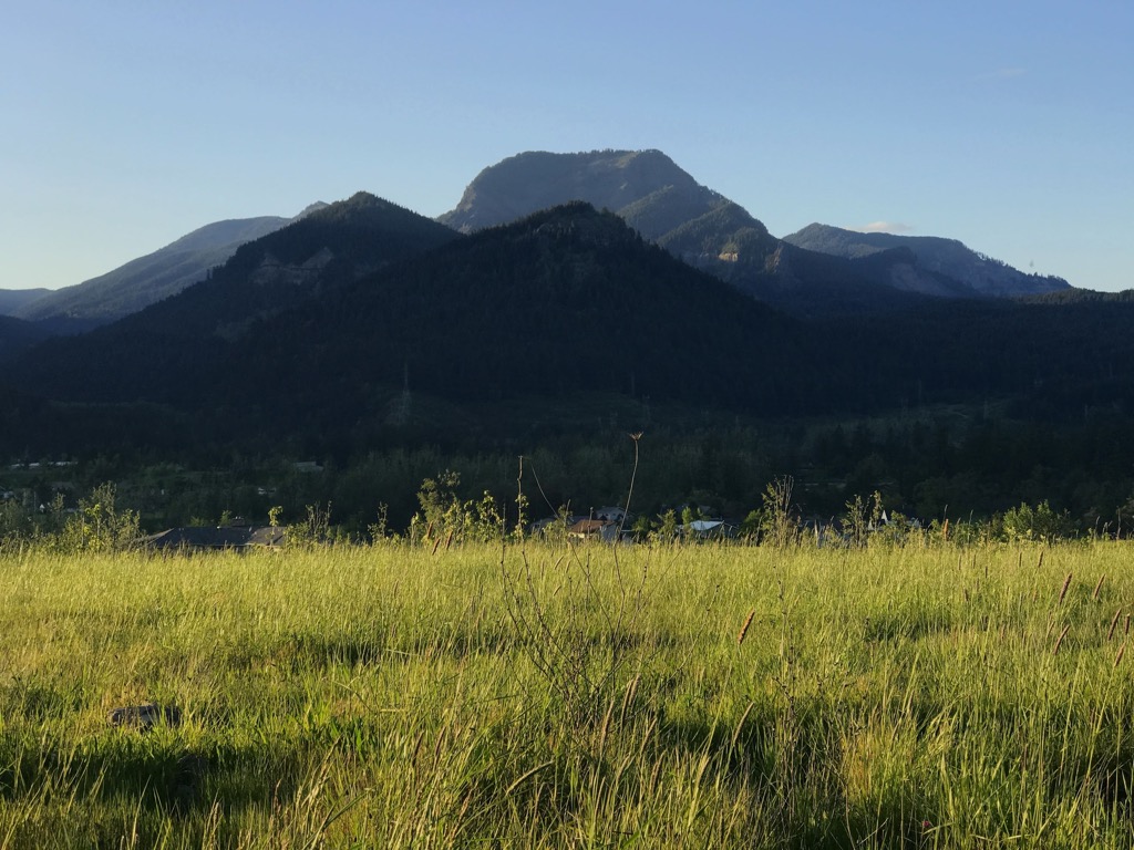
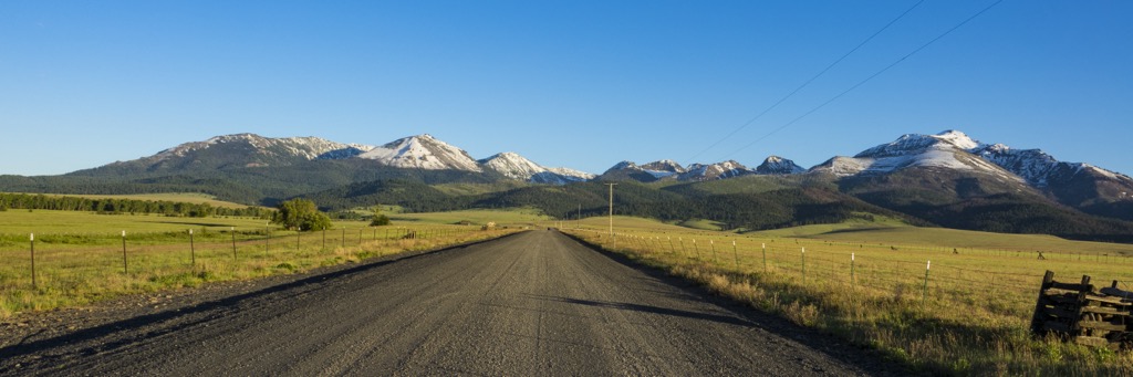
The Aldrich Mountains are a relatively isolated mountain range situated in the eastern region of the US state of Oregon. This high desert mountain range features rolling hills and sweeping vistas throughout. There are 37 named mountains in the range with the tallest and most prominent being Fields Peak at 7,365 ft (2,245 m) tall with 2,359 ft (719 m) of prominence.
The Aldrich Mountains are a mountain range that runs east to west in eastern central Oregon. A majority of the range lies within Malheur National Forest which spans for 1.7 million acres (6,879 sq km) across eastern Oregon.
This range marks some of the southwestern most peaks in the Blue Mountains, which extend into the northeastern region of the state. The Basin and Range region lies just south of the range with the Lava Plains situated to the west.
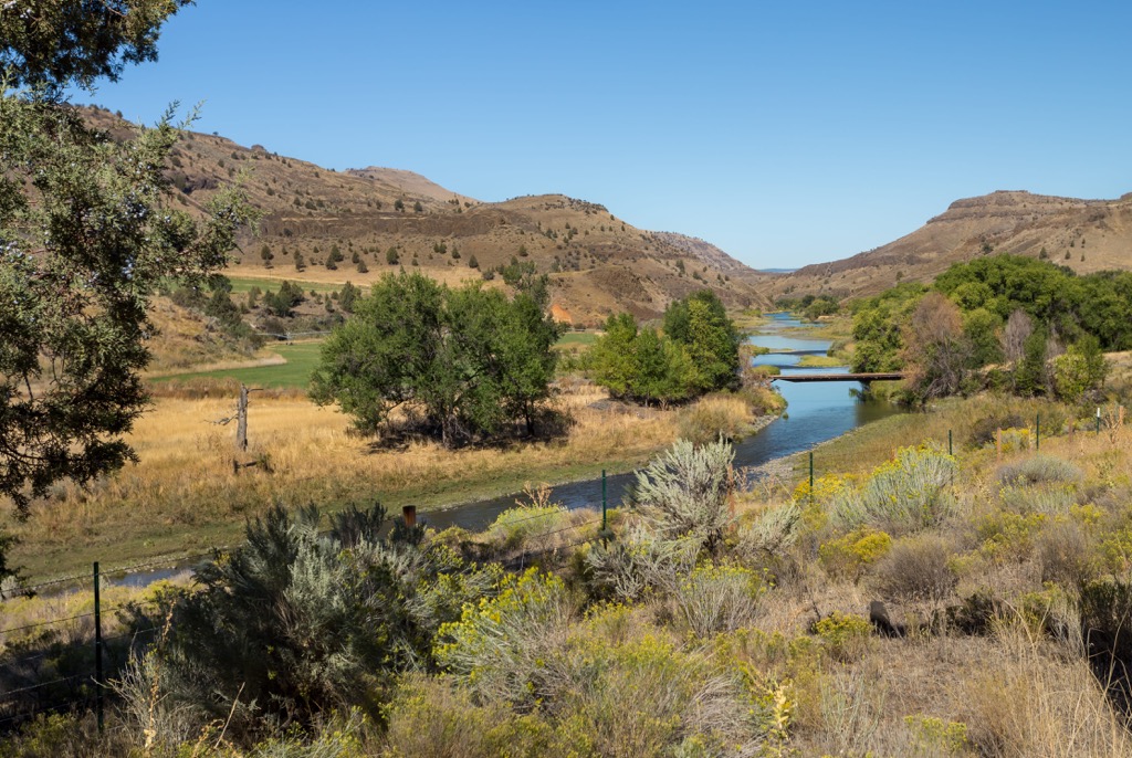
The John Day River valley lies directly north of the peaks while the South Fork John Day River is on the west. South of the Aldrich Mountains lie the Bear Valley and Murderers Creek while the Canyon Creek runs along the eastern stretches of the range.
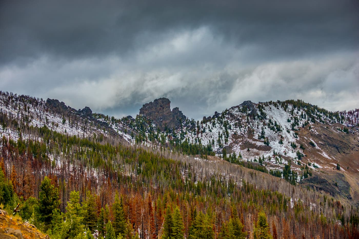
West of the range lies the Ochoco Mountains while to the east lie the Strawberry Range. Throughout the Aldrich Mountains lie numerous ecological zones. A majority of the peaks are free of flora while the hillsides are forested, interspersed with rolling grasslands.
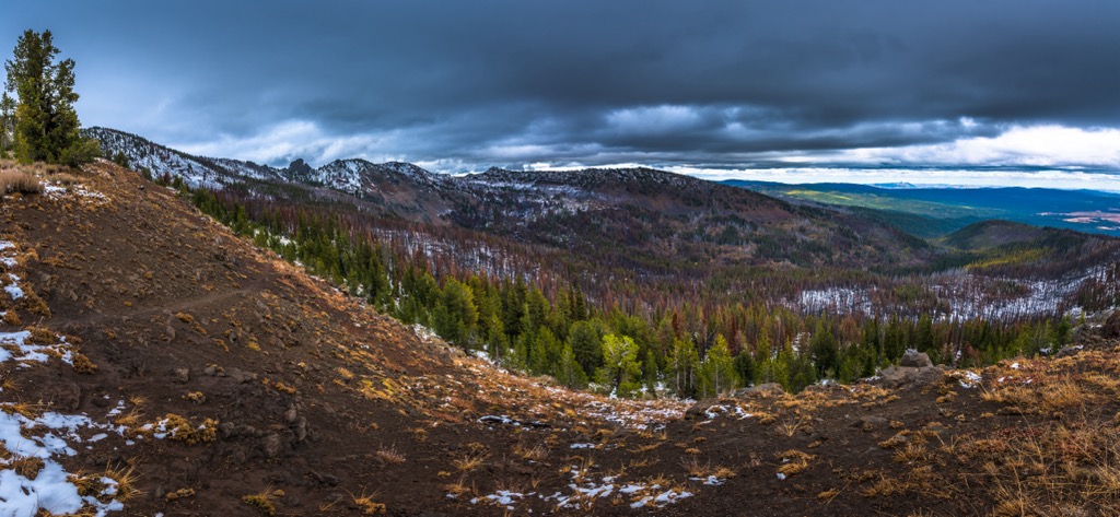
The remote location of the range has led to minimal amounts of trails being established. Many hiking routes lie along the forest roads through the surrounding national forest. The Cedar Grove Botanical Area lies within the range and protects the only isolated stand of Alaska yellow cedar found east of the Cascade Range in the entire US.
Additionally, the Aldrich Mountains are located near numerous areas for outdoor recreation. Within the range lies the Aldrich Mountains Wilderness Study Area while Malheur National Forest extends throughout the region. West of the range lies Ochoco National Forest while the Malheur National Wildlife Refuge is located to the south.
The peaks within the Aldrich Mountains mark a subrange of the Blue Mountains. The Great Basin Ranges, also known as the Basin and Range Province, are situated directly southeast of the Aldrich Mountains.
The Blue Mountains contain some of the oldest rock found in the state of Oregon, dating back nearly 400 million years. These peaks, including its numerous subranges, are classified as uplift mountains.
Prior to being land mountains, the entire range was originally formed as an island arc in the Pacific Ocean, which lies west of the range. Basalt flows between 52 million to 6 million years further shaped the landscape.
Layers of lava and ash were deposited throughout present-day central Oregon roughly 50 million to 37 million years ago. Massive mudflows, also known as lahars, covered much of the surrounding terrain, creating a widespread fossil bed.
Other subranges of the Blue Mountains include the Ochoco Mountains, Maury Mountains, Strawberry Range, and the Elkhorn Mountains.
Major peaks within the range include Fields Peak, Aldrich Mountain, Ingle Mountain, and McClellan Mountain.
Flora and fauna found within the range is similar to species found throughout the Malheur National Forest.
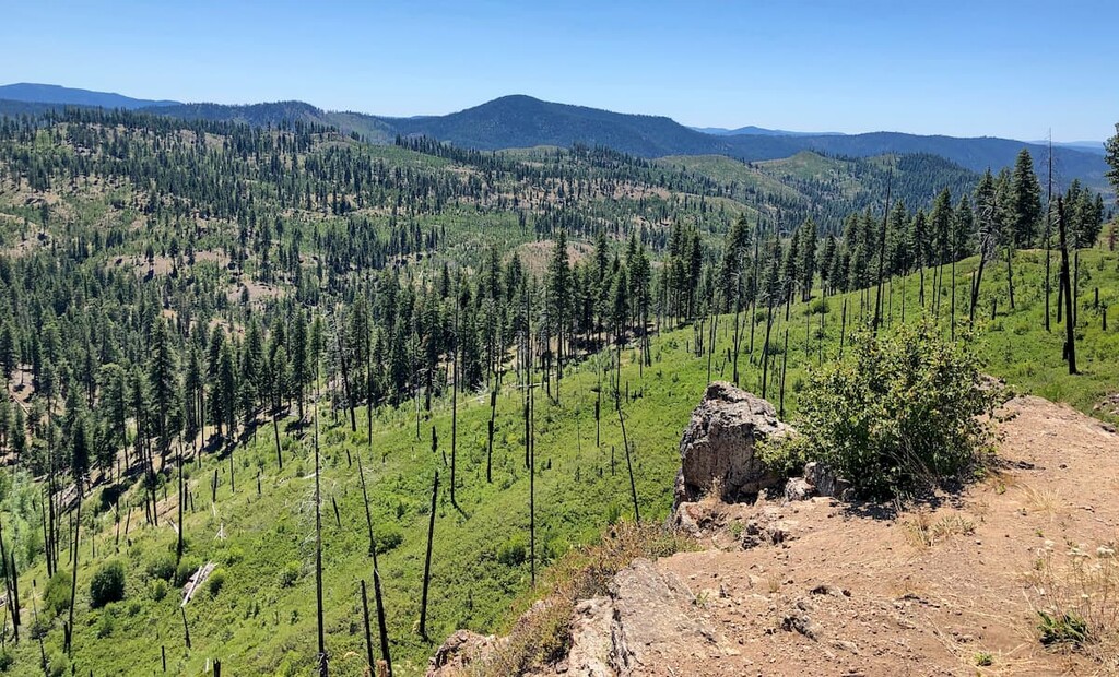
Only some sections of the range are forested, with much of the terrain being populated by sagebrush and juniper. The forested sections are populated by scattered patches of ponderosa pine and Douglas fir.
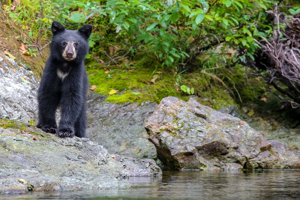
Common mammals in the range and the surrounding sections of national forest include Rocky Mountain elk, antelope, mule deer, bighorn sheep, black bear, and cougar. Popular bird species include the ruffed grouse, blue grouse, bald eagle, and sharp shinned hawk.
Hikers may also spot pine marten, beavers and mink amidst the mountain range. Rocky terrain in the range provides the ideal habitat for a few lizard species.
Human history surrounding the Aldrich Mountains dates back thousands of years, long before the arrival of European colonizers and settlers.
The Blue Mountains region marks part of the ancestral homelands of the Umatilla Tribe, Walla Walla Tribe, and Cayuse people. Today, these Tribes act together to form the Confederated Tribes of the Umatilla Indian Reservation.
The Aldrich Mountains mark the southern edge of the Blue Mountains, thus also marking part of the ancestral homelands of numerous bands of the Northern Paiute people. These bands traditionally lived nomadically, spanning throughout present-day eastern Oregon and much of present-day Nevada.
The establishment of the Oregon Trail during the mid-1800s brought a large influx of settlers to the region. For those traveling west, the Blue Mountains often marked the final mountain range to cross. Many of the early settlers established communities in present-day eastern Washington and eastern Oregon, while others traveled through the Columbia River Gorge to reach the Willamette Valley.
This increased population led to ongoing conflict between the Indigneous peoples of the region and settlers. Often backed by the US government, the settlers continually attacked, harassed, killed, and displaced the Indigneous peoples. As they fought to protect their native homelands, many of the Indigneous peoples of the region were forced onto reservations.
The present city of John Day, which lies just north of the range, was originally established as a homestead in 1862. Around the same time, nearby Canyon City was also established. Mining brought more people to the region with John Day being established as a city in 1901.
In 1908, then President Theodore Roosevelt, created Malheur National Forest. The surrounding towns and cities have remained relatively small in the region, due to the remote nature of the region.
The Aldrich Mountains feature minimal hiking trails. Here are some of the top hikes in the range and nearby protected areas:
This out and back trail takes hikers through the Cedar Grove Botanical Area. The protected area spans 26 acres in the range and showcases this unique and rare stand of Alaska yellow cedars.
The trail begins by descending gradually through the botanical area, while passing through the forested landscape. Along the route hikers have views of the surrounding mountains and rolling hills. This trail is 1.7 miles (2.7 m) round trip and features 498 feet (152 m) of total elevation gain.
This out and back route lies just west of the Aldrich Mountains, within the Black Canyon Wilderness. The trail follows along the Black Canyon Creek while the steep canyon walls tower above on either side.
The rushing water is met with sagebrush, pine trees, and low growing grasses. Round trip this route is 3.8 miles (6.1 m) in length and features 367 feet (112 m) of total elevation gain.
The Canyon Mountain Trail lies along the eastern edge of the Aldrich Mountains near the Strawberry Mountain Wilderness portion of the Malheur National Forest. The route features numerous climbs and ascents before passing by the summit of Pine Creek Mountain.
This out and back trail is 28 miles (45 km) in length and has 6,181 feet (1,884 m) of elevation gain, making it a popular route for backpacking. Throughout the path, hikers pass through forested sections and open meadows, allowing for viewpoints throughout the route.
Looking for a place to stay near the Aldrich Mountains? Here are some of the best cities and villages to check out in the region:
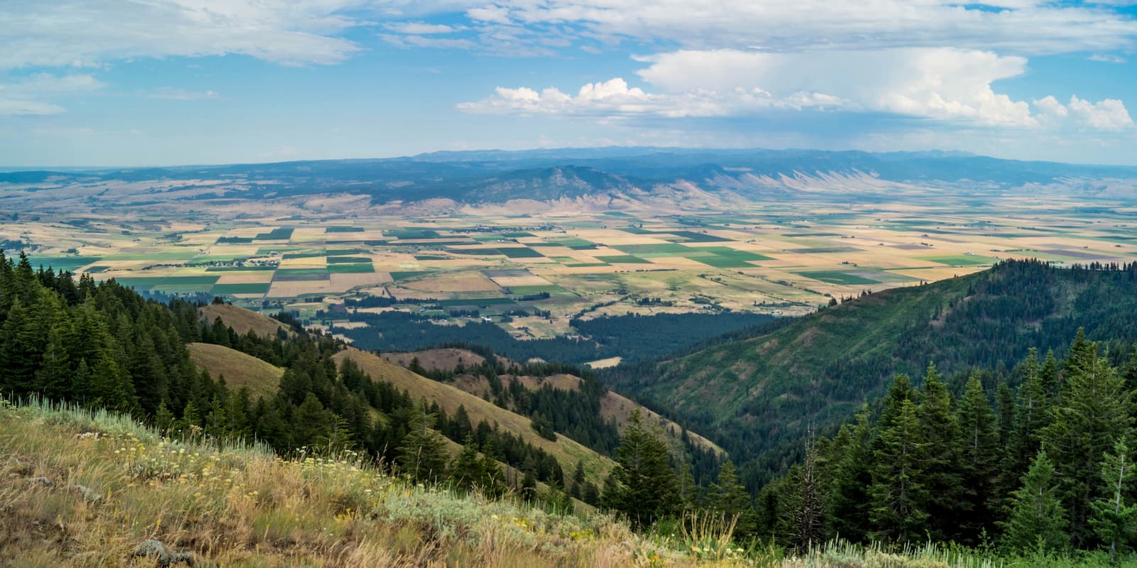
The small city of John Day lies along the northeastern edge of the Aldrich Mountains, situated along the John Day River within the John Day River valley. Named after an American hunter and fur trapper, today the city is home to around 1,700 residents.
Just outside the city limits lie the Aldrich Mountains, Strawberry Mountains, and the rest of the Blue Mountains. Home to the headquarters of the Malheur National Forest administration, the city is situated at the intersection of US Route 26 and US Route 395. The city is surrounded by opportunities for hiking, rafting, and hunting.
Bend lies a two and half hours drive southwest of the city of John Day. Home to just over 100,000 residents, it marks the largest city in eastern Oregon. Situated on the Deschutes River, Bend is known for being an outdoor paradise.
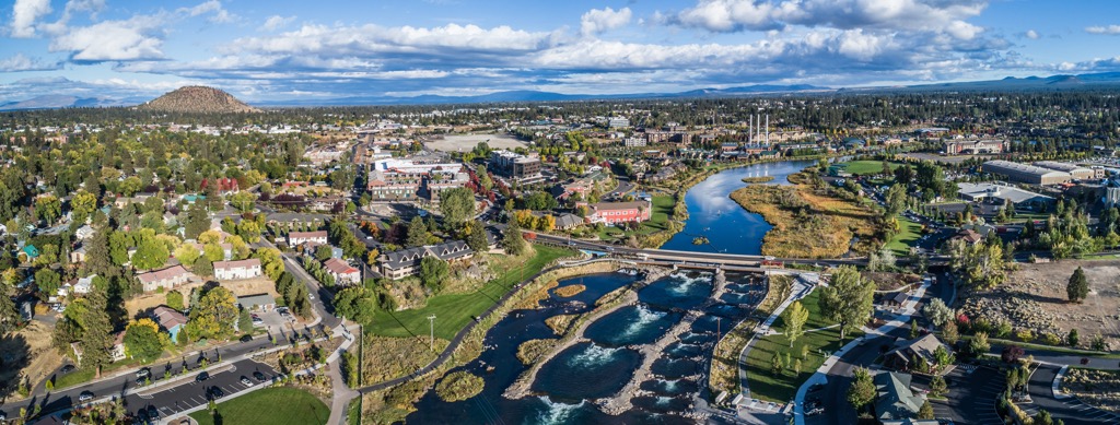
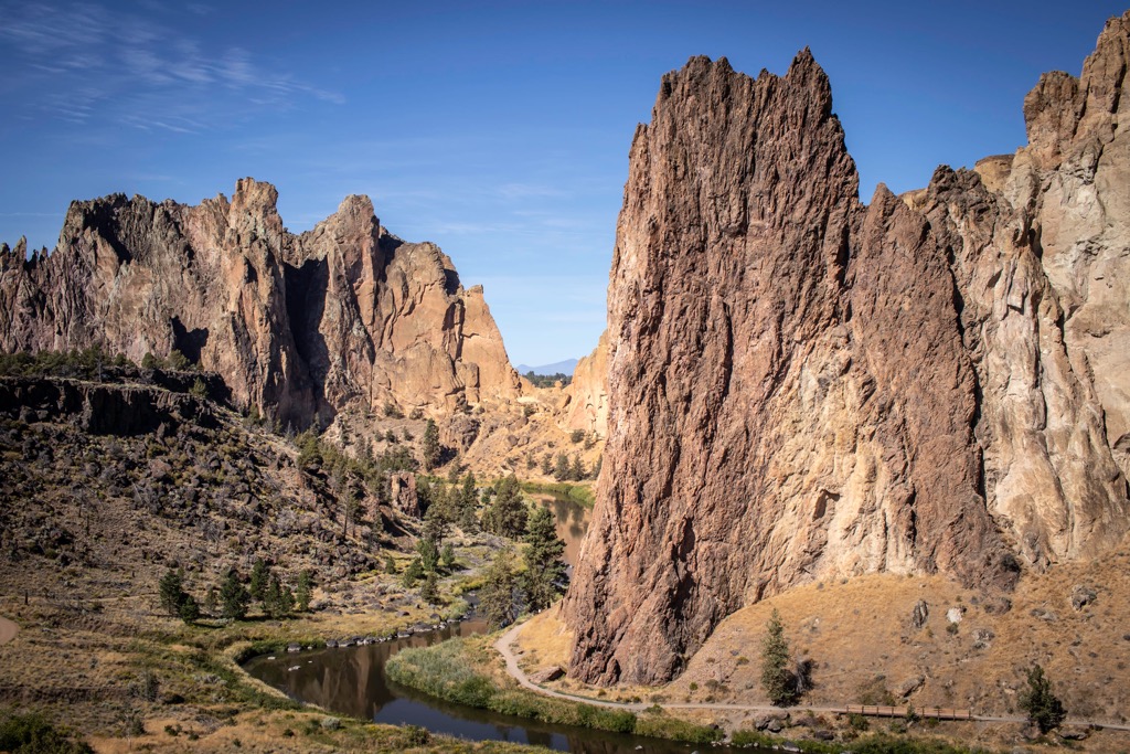
West of the city lies the Cascade Mountains, including Mount Bachelor Ski Resort. South of the city lies the High Desert Museum and Newberry National Volcanic Monument. Smith Rock State Park, one of the most iconic rock climbing spots in the Pacific Northwest, is situated just north of Bend.
The city has become a mecca for trail running, skiing, mountain biking, hiking, rock climbing, and even surfing along the Deschutes River. Besides the abundance of outdoor activities, Bend is known for its numerous craft breweries and local restaurants


