Scan the QR code and open PeakVisor on your phone
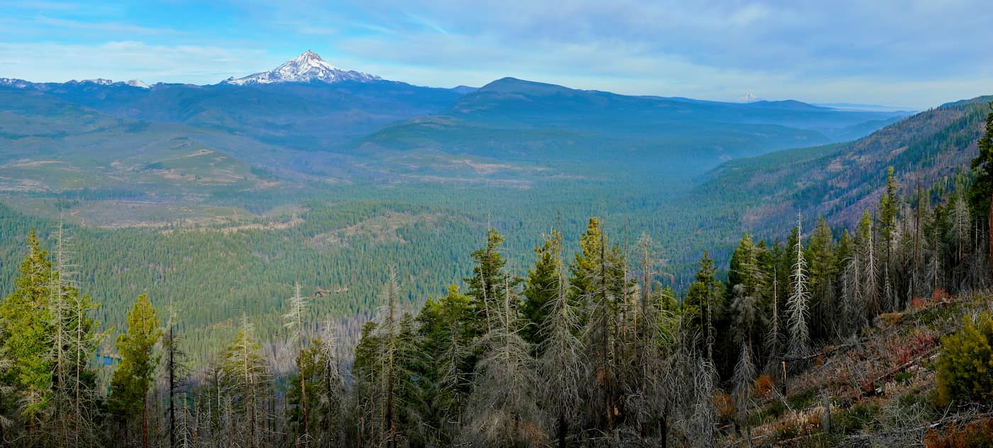
The Ochoco National Forest is located in the Ochoco Mountains in the state of Oregon. They are located in central Oregon on the western end of the Blue Mountains. There are 56 named mountains in Ochoco National Forest. The highest and the most prominent mountain is Lookout Mountain standing at 6,926 feet. These mountains were formed when the Permian, Triassic, and Jurassic rocks were slowly uplifted by volcanic eruptions. The entire region spans 850,000 acres, full of rimrock, canyons, pine forests, and high desert terrain. The Ochoco National Forest has three ranger districts; Crooked River National Grassland, Paulina Mountain and Lookout Mountain.
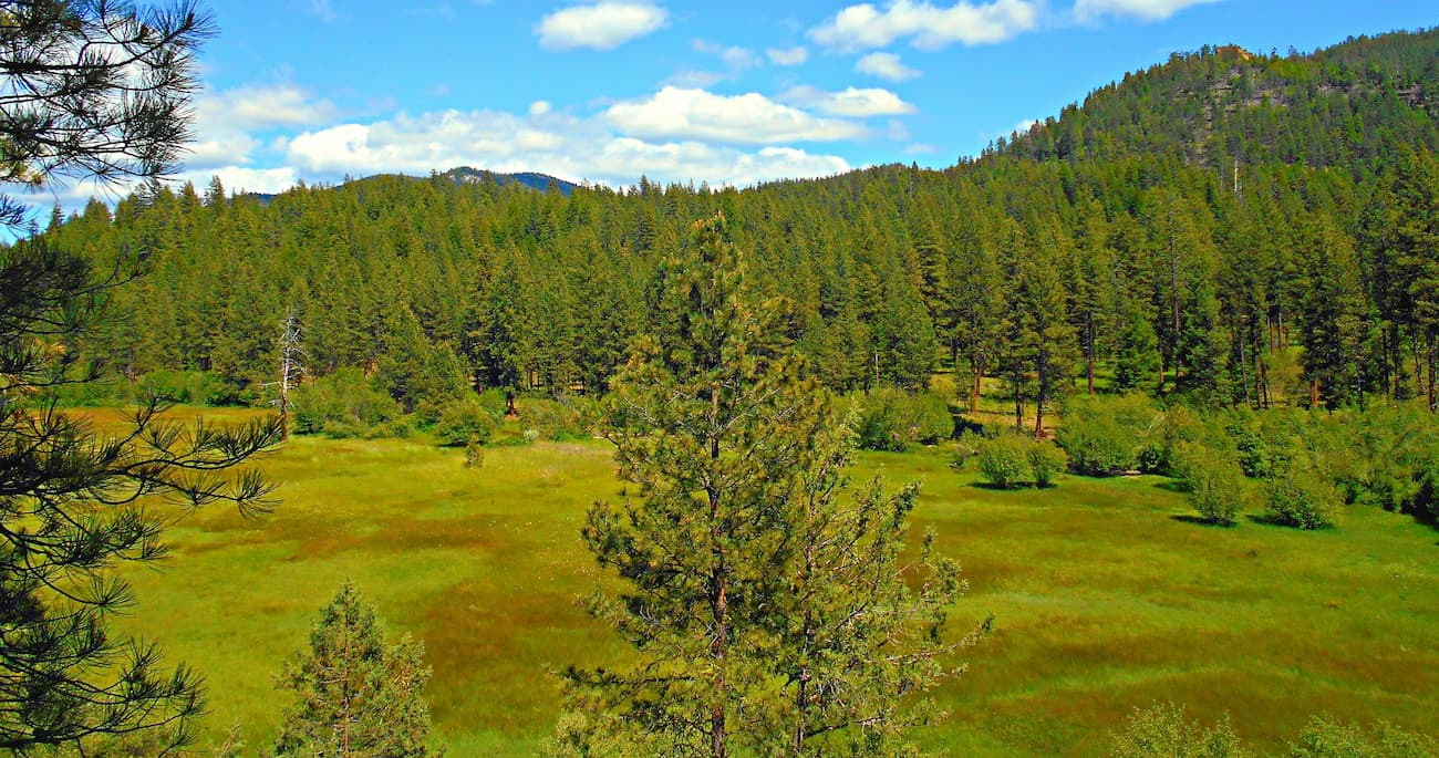
The region is known for being one of the largest suppliers of timber within the state. The region is unique because the Ochoco National Forest is much older than the surrounding areas. The volcanic region has been uplifted and eroded over time unlike other parts of the state. The forest is also home to many old pioneer trails and Native American artifacts that are not found elsewhere.
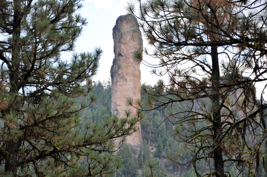
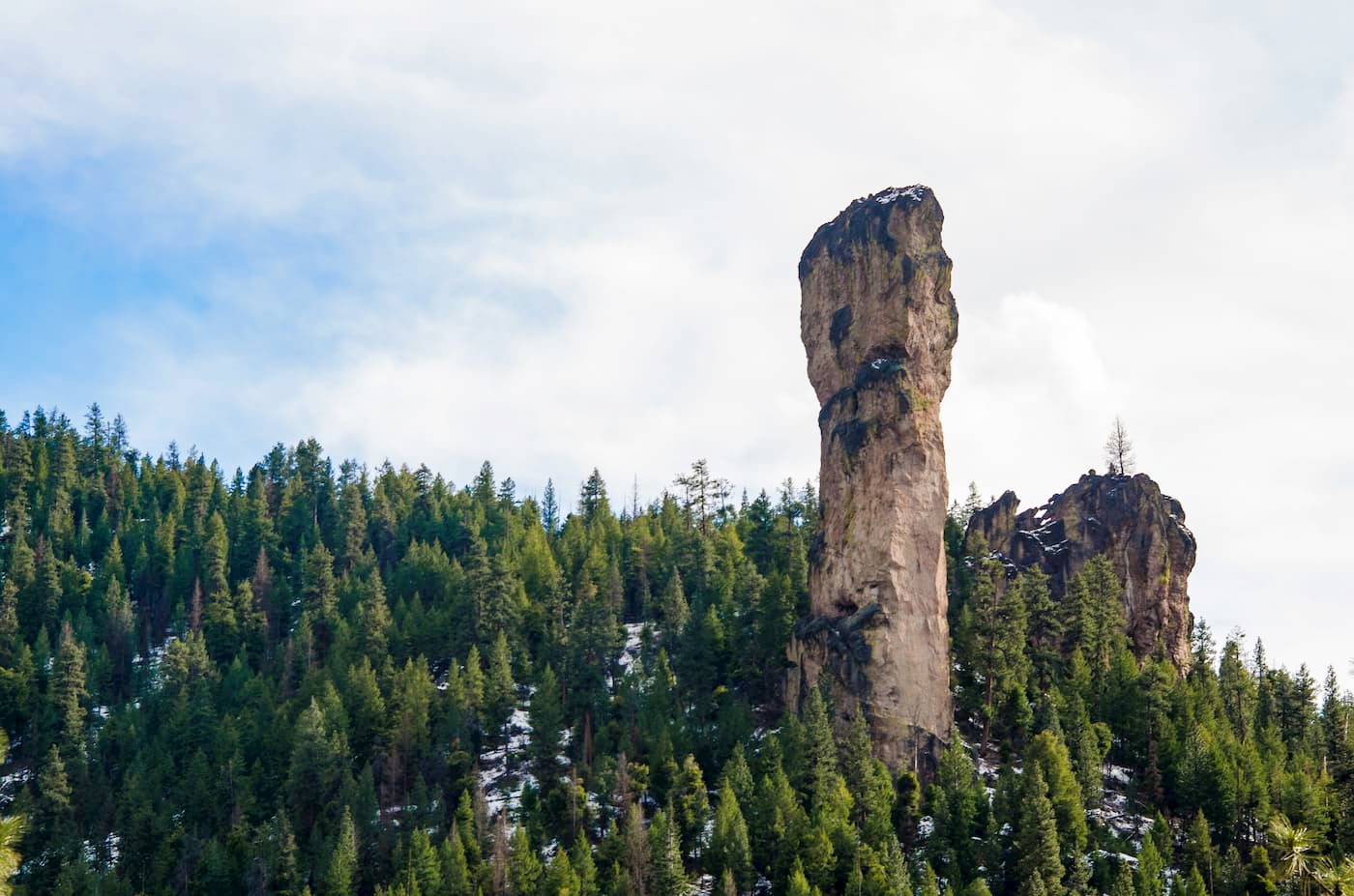
This trail is one of the most iconic in the region. Round trip this out and back hike is 4-miles with 680 feet of elevation. The moderate hike starts out by taking you through a forest scattered with numerous car sized boulders. Eventually you will reach Stein’s Pillar. This pillar is 350 feet of monolith welded tuff that was formed during the collapse of the Wildcat Caldera. It is estimated to have formed 40 million years ago. Once at the pillar hikers have the option to climb inside the cave-like opening. The pillar was named after Major Enoch Steen but his name was often misspelled which is why it is now called Stein’s rather than Steen’s.
The trail up the south side of Lookout Mountain is 8.4-miles roundtrip with 1,100 feet of elevation gain. Easily done in a day for most hikers, this trail leads you to the top of the tallest peak within the Ochoco National Forest. Once at the plateau of Lookout Mountain, hikers will have a panoramic view of much of the surrounding area. The trail also follows old wagon roads, unique to this wilderness.
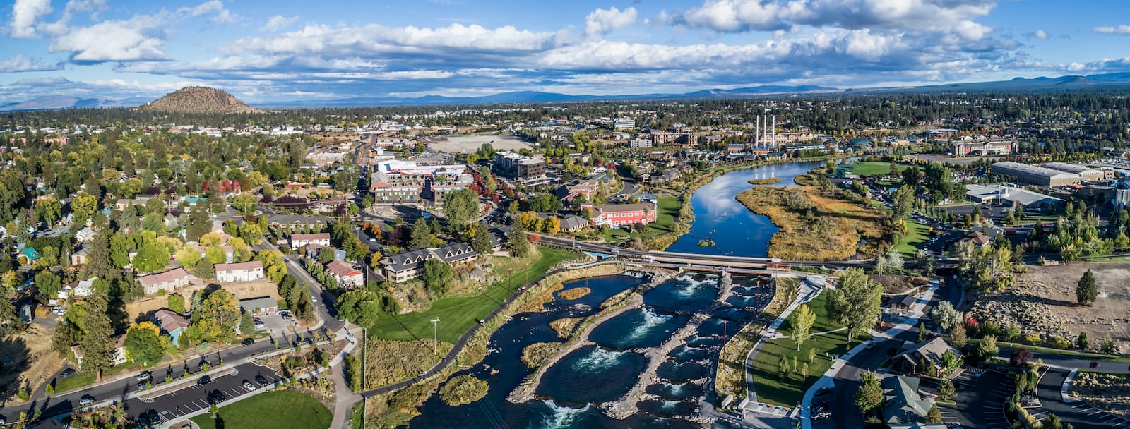
Bend is the largest city located in eastern Oregon with a population of nearly 100,000. The city is located on the Deschutes River and is known for being an outdoor paradise. To the west lies the lake and peaks of the Cascade Mountains, along with Mount Bachelor Ski Resort, while a trail in the city leads to the top of Pilot Butte. To the south lies the High Desert Museum and Newberry National Volcanic Monument. Just north of town is one of the state’s most iconic rock-climbing locations, Smith Rock State Park. As a whole, the city is a mecca for trail running, skiing, mountain biking, hiking, rock climbing, and even surfing in the river. Besides the abundance of outdoor activities, Bend is known for its numerous breweries and restaurants.