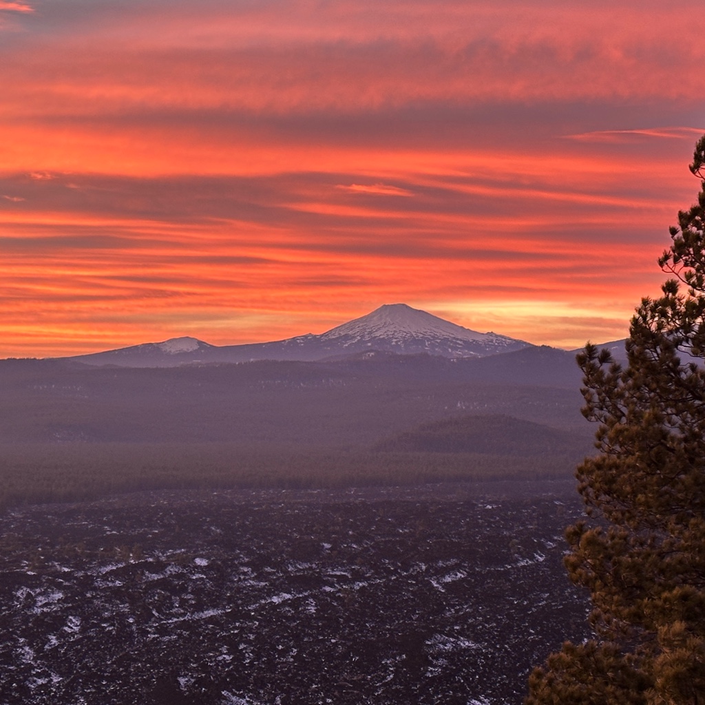
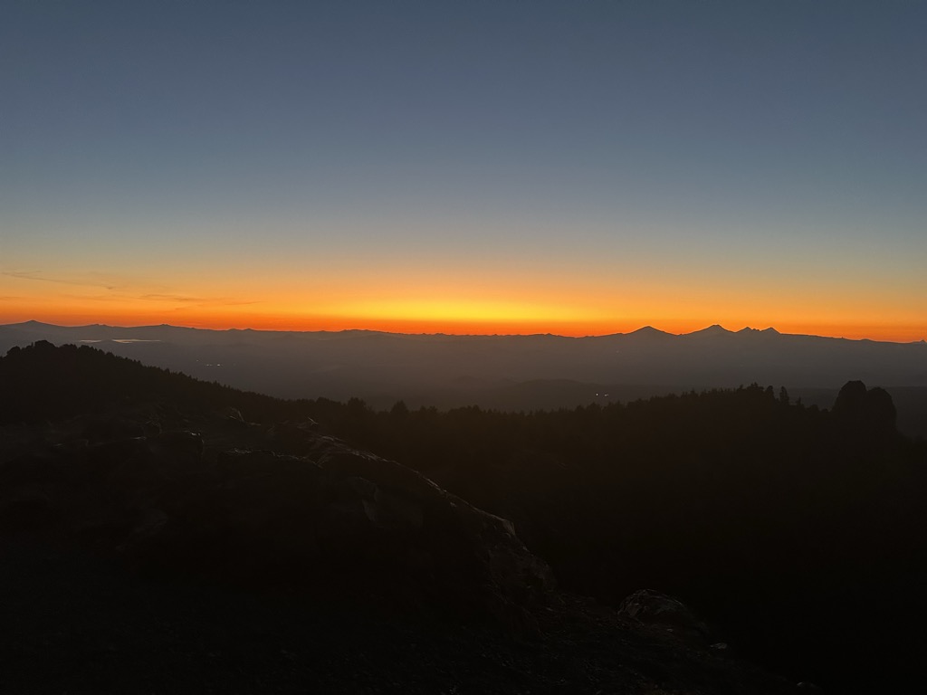
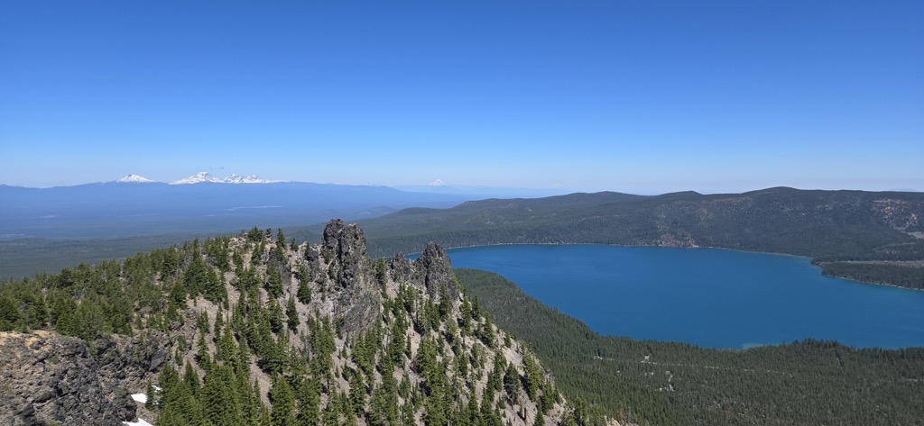
Paulina Peak is a summit in Deschutes County, Oregon, United States. Formed by the Newberry Volcano, it is part of Newberry National Volcanic Monument. At an elevation of 7,984 feet (2,434 m), it is the highest point on the volcano. The peak gives a panoramic view of the Newberry Caldera, the south and west flanks of the Newberry Volcano, the Cascades, the Fort Rock Basin, and central Oregon. The Cascade Range can be seen extending into California (Mount Shasta) and Washington (Mount Adams) from the peak on a clear sunny day.
There's a trail leading to the summit.
By elevation Paulina Peak is
# 11 out of 249 in Deschutes National Forest # 10 out of 223 in Deschutes County # 1 out of 21 in Newberry National Volcanic Monument # 100 out of 2184 in the Columbia Plateau # 1 out of 124 in the Paulina Mountains
By prominence Paulina Peak is
# 2 out of 249 in Deschutes National Forest # 13 out of 4749 in Oregon # 2 out of 223 in Deschutes County # 1 out of 21 in Newberry National Volcanic Monument # 6 out of 2184 in the Columbia Plateau # 1 out of 124 in the Paulina Mountains
We use GPS information embedded into the photo when it is available.
3D mountains overlay
Adjust mountain panorama to perfectly match your photos because recorded by camera photo position might be imprecise.
Move tool
Rotate tool
Zoom
More customization
Choose which peak labels should make into the final photo and what photo title should be.
Next
Photo Location
Satellitte
Flat map
Relief map
Latitude
Longitude
Altitude
OR
Latitude
°'''
Longitude
°'''
Apply
Register Peak
Peak Name
Latitude
Longitude
Altitude
Register
Teleport
PeakVisor
This 3D model of Sagarmatha National Park in Nepal was made using the PeakVisor app topographic data. The mobile app features higher precision models worldwide, more topographic details, and works offline. Download PeakVisor maps today.
Download OBJ model
PeakVisor
The download should start shortly. If you find it useful please consider supporting the PeakVisor app.
PeakVisor for iOS and Android
Be a superhero of outdoor navigation with state-of-the-art 3D maps and mountain identification in the palm of your hand!