Scan the QR code and open PeakVisor on your phone
Also known as Rattlesnake Ridge, Rattlesnake Hills is a 16-mile long, east-west trending anticline mountain ridge located in south-central Washington. Often mistaken for the smaller Rattlesnake Ridge near the west end of Ahtanum Ridge, the Rattlesnake Hills form the northern boundary of the Yakima Valley, running from Benton City to south of Yakima.
A portion of the Hills extend into the Hanford Site, a decommissioned nuclear production complex, and a spur on the northern side of the ridge connects with the Yakima Ridge, an east-southeast trending anticline mountain ridge that extends from just north of Yakima to the Hanford Reach National Monument.
The Rattlesnake Hills are part of the Yakima Fold Belt, a series of geological folds raised by tectonic compression that define several viticultural regions in the area. The highest points in the ridge are Lookout Mountain, Rattlesnake Mountain, Elephant Mountain, High Top, and Eagle Peak.
Named after the Northern Pacific Rattlesnake, the Rattlesnake Hills are considered a distinguishing feature relative to the surrounding area. Unfortunately, in 2018, a large, sluggish landslide was identified roughly 3 miles south of the city of Yakima. According to the Washington State Department of Natural Resources, the landslide is moving at a rate of about 0.7 feet per week in a southward direction. Referred to as a translational landslide, the slow-moving mass is composed of blocks of basalt and spans 20 acres.
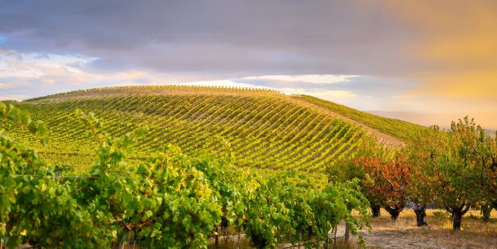
The long days, rich soil, and temperate climate of the Rattlesnake Hills make it an ideal wine-growing region. In 2006, the 74,380-acre Rattlesnake Hills AVA was established outside of Union Gap, becoming Washington’s ninth federally recognized American Viticultural Area. A total of 17 wineries and 29 vineyards supply local Washingtonians with high-quality Cabernet Sauvignon, Malbec, Merlot, Syrah, Chardonnay and Riesling.
It’s worth noting that despite receiving appellation status in 2006, vineyards in the Rattlesnake Hills have been cultivating world-class wine grapes since the 1960s. Centered around the city of Zillah, the AVA encompasses land between the north bank of the Sunnyside Canal, as well as the entirety of the southern slopes of the Rattlesnake Hills.
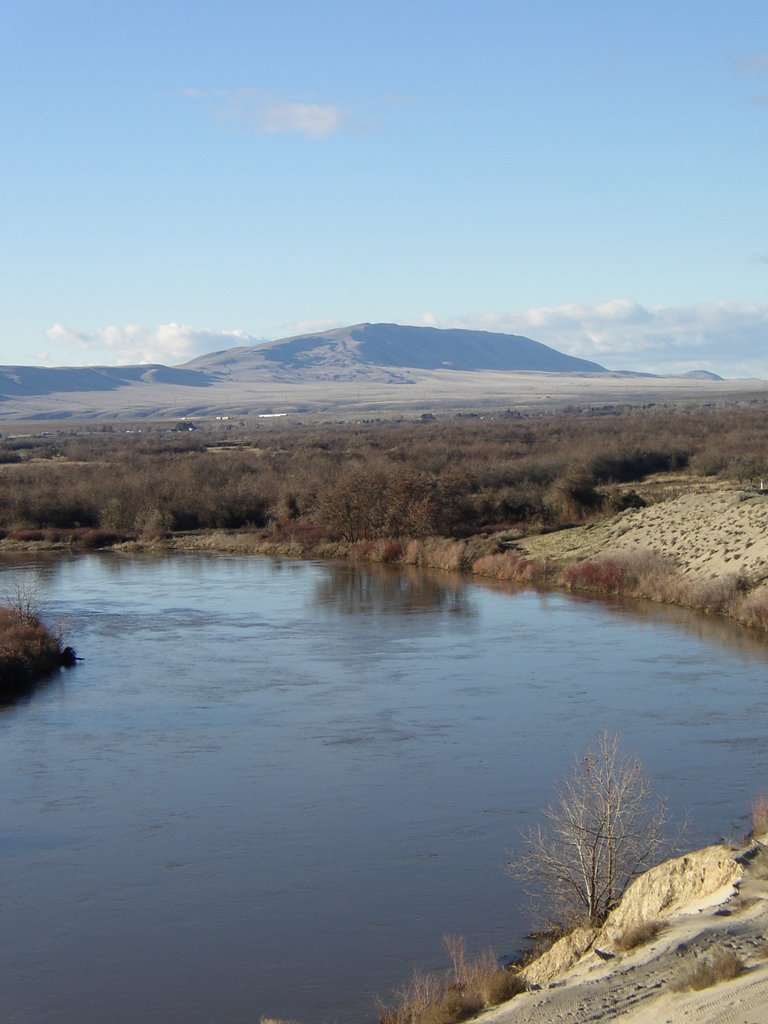
Named after the last non-tidal, free flowing section of the Columbia River Plateau, the Hanford Reach National Monument was protected by Presidential Proclamation in 2000. The Monument is characterized by sweeping vistas, towering bluffs, and boasts a variety of wildlife. The refuge is most notable for elk located in the Arid Lands Ecology Area. However, beaver, mule deer, bobcat, cougar, and badger are also known to frequent the area.
The Monument, which was once used as an atomic bomb project, contains remnants of the WWII and Cold War, including plutonium reactors. The most famous reactor, B reactor, was the world’s first full scale reactor. Though portions of the Hanford Reach Monument are not accessible to the public, there are plenty of opportunities to explore the area.
Popular trails and attractions include: The White Bluffs North Slope trail, the Columbia River Corridor, McGee Ranch and Riverlands, Wahluke Slope, the Manhattan Project National Historical Park, and Vernita Bridge.
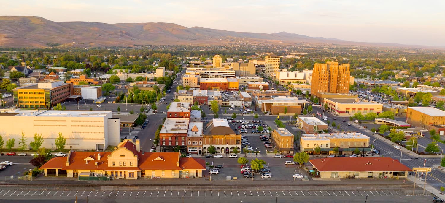
Located in the Yakima Valley, the city of Yakima is a productive agricultural region best-known for its wineries and apple orchards. Yakima’s volcanic soil and long, dry days make it the ideal location for growing hops. The city proudly produces 75% of the country’s hops and supports the cultivation of the nation’s best craft beers.
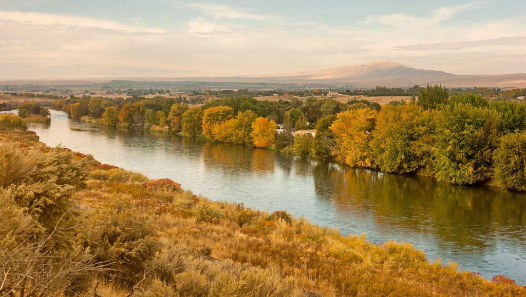
Yakima was named after the Yakima National Native American tribe; whose reservation lies just south of the city. The Yakima River runs directly through the city and boasts miles of hiking, biking, and running trails. Both White Pass and Chinook Pass Scenic Byways travel into the Yakima Valley, making an adventure in the Cascades just a short drive away.