Scan the QR code and open PeakVisor on your phone
Named after U.S. President Ulysses S. Grant, Grant County was formed out of Douglas County in 1909 and encompasses roughly 2,791 square miles of the Columbia Basin region of Central Washington. When the county was formed, it was home to just 8,700 permanent residents. However, today, Grant County is Washington’s fourth largest county and is home to over 90,000 residents.
Prior to Washington achieving statehood in 1889, the Grant County region was home to a number of Native American cultures, including the Interior Salish, Wenatchi, and Okanagan. These early inhabitants settled mostly along the Columbia River.
White settlers traveled to the sparsely populated Grant County region in the mid-1800s with the hopes of raising livestock. However, with the development of railroads, the local economy quickly shifted from ranching to traditional farming.
The region’s semi-arid climate and sparse rainfall, however, presented newcomers with a host of challenges related to water access. Early Grant County residents would quickly learn that in order to maximize on the area’s agricultural potential, they would need to rely on irrigation.
When Grant County was officially formed in 1909, an emphasis was placed on attracting new residents. Marketing material was distributed emphasizing the region’s excellent weather, few pests, and thriving communities. Access to the Columbia River and to three major railway systems, The Great Northern Railway, Northern Pacific Railroad, and Chicago, Milwaukee & St. Paul, were also selling points.
The county would see a plenty of boom-and-bust periods over the next several decades. In the 1950s, Grant County was Washington’s fastest growing county due to its access to productive farms, water, inexpensive land, and cheap electricity. By the 1970s and 1980s, food processing was the backbone of the region and was said to employ roughly 90% of Grant County residents. Today, food-processing plants and agriculture still drive the local economy and inexpensive land continues to boost the county’s growth.
Geographically, the county can be divided into five parts: The Channeled Scablands, the Waterville Plateau, the Quincy Flats, the Folded Ridges, and the Sand Hills.
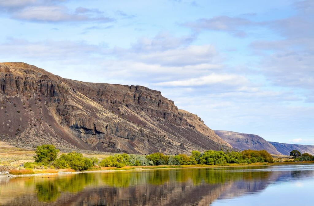
The Channeled Scablands are arguably one of the most fascinating natural features in eastern Washington. These glacial channels occupy the northern and eastern half of Grant County and were formed by cataclysmic floods during the Pleistocene epoch.
The northwest part of the county lies in the Waterville Plateau, a region characterized by rolling hills and deep, fertile soil. An escarpment separates the Waterville Plateau from the Quincy Flats, an area of sandy and gravelly soil.
Grant County is a south-sloping, semi-arid plateau with elevations ranging between 1,000 and 3,000 feet. The highest point in Grant County is Monument Hill, a 2,880-foot hill located in the Beezley Hills outside of Quincy. The second-highest summit, Wahatis Peak, is the highest point in the Saddle Mountain range and is Grant County’s most prominent point.
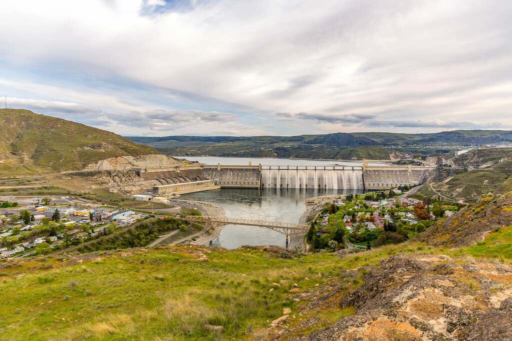
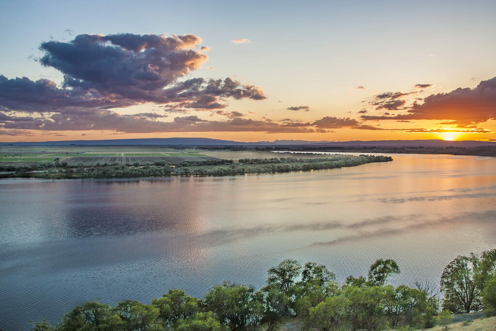
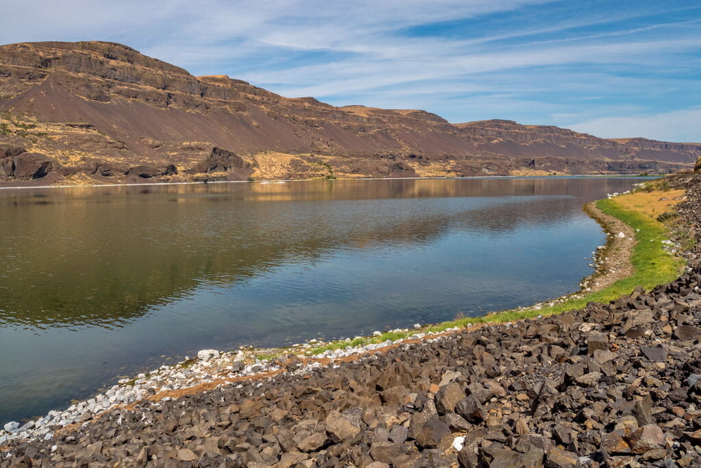
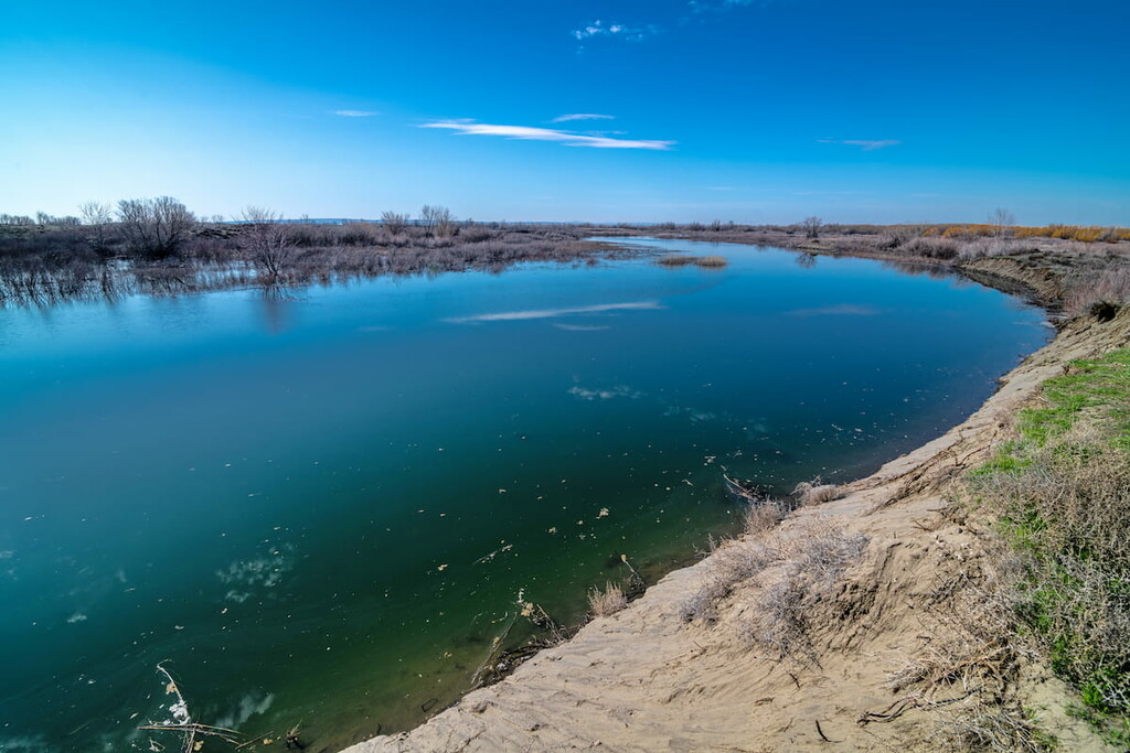
Grant County is home to a variety of impressive natural features, including the Columbia River, Moses Lake, Potholes Reservoir, Grand Coulee, and Ulysses S. Peak. The county also contains portions of the Columbia National Wildlife Refuge, Hanford Reach National Monument, Lake Roosevelt National Recreation Area, and Saddle Mountain National Wildlife Refuge.
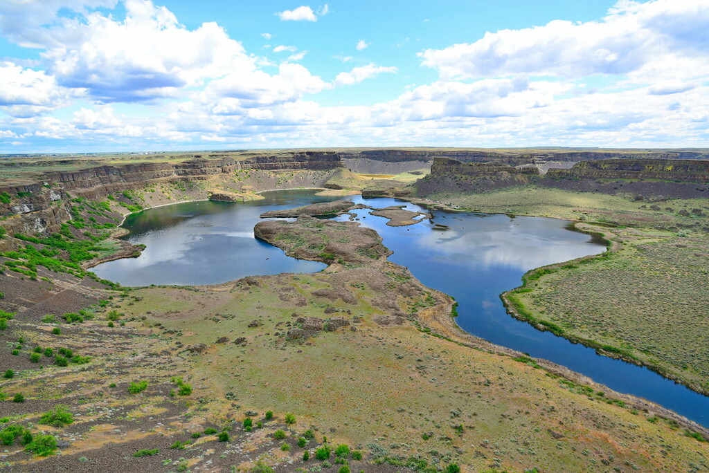
The remnants of what is believed to be the largest waterfall known to have existed, Dry Falls boasts 3.5 miles of sheer cliffs that plummet nearly 400 feet. This incredible chasm of basalt was created following a catastrophic collapse of an enormous ice dam. Though it no longer carries water, the Dry Falls area is home to a series of picturesque lakes, scenic hiking trails, and acts as an oasis for wildlife. History buffs and outdoor enthusiasts alike can appreciate a set of interpretive displays at the Dry Falls Visitor Center or the panoramic views from the historic Vista House Overlook
The Sun Lakes-Dry Falls State Park, a 3,774-acre camping park, also offers 73,640 feet of freshwater shoreline at the foot of Dry Falls and features plenty of opportunities to hike, swim, boat, or fish.
The high point on the Saddle Mountain Ridge, Wahatis Peak boasts sweeping views of the surrounding region. Though a rugged road leads to the summit of Wahatis Peak, most visitors opt to traverse the mountain by foot. To reach Wahatis Peak, take i90 to Vantage and turn south on Highway 243. Travel east on 24 SW and take the dirt road that leads to the ‘wildlife viewing area.’ Travel left at the T junction and park when the road gets too steep.
Located on the southern tip of Moses Lake, the Moses Lake Sand Dunes cover over 3,000 acres of Grant county. Most of these rolling dunes and mud flats are open to off-road use and are popular in the summer among motorcyclists and ATVs. The dunes are composed of several different landowners, however, so it’s important to understand and obey posted restrictions.
The largest city in Grant County, Moses Lake sits adjacent to Moses Lake, the largest natural body of freshwater in the county. The Potholes Reservoir and the Columbia National Wildlife Refuge sit to the south of the town. Moses Lake offers endless recreational opportunities, including boating, fishing, ATV dunes, biking, and hiking. In town, visitors can hang out at street festivals or local farmers markets, and visit museums, art galleries, and cultural centers.
Rich in history, Coulee City is a small community that lies just a few miles south of Dry Falls and 40 miles northeast of Grand Coulee Dam. With Banks Lake and Blue Lake offering ample boating, fishing, and swimming opportunities, it’s easy to see why this scenic little city is an oasis for water recreation.