Scan the QR code and open PeakVisor on your phone
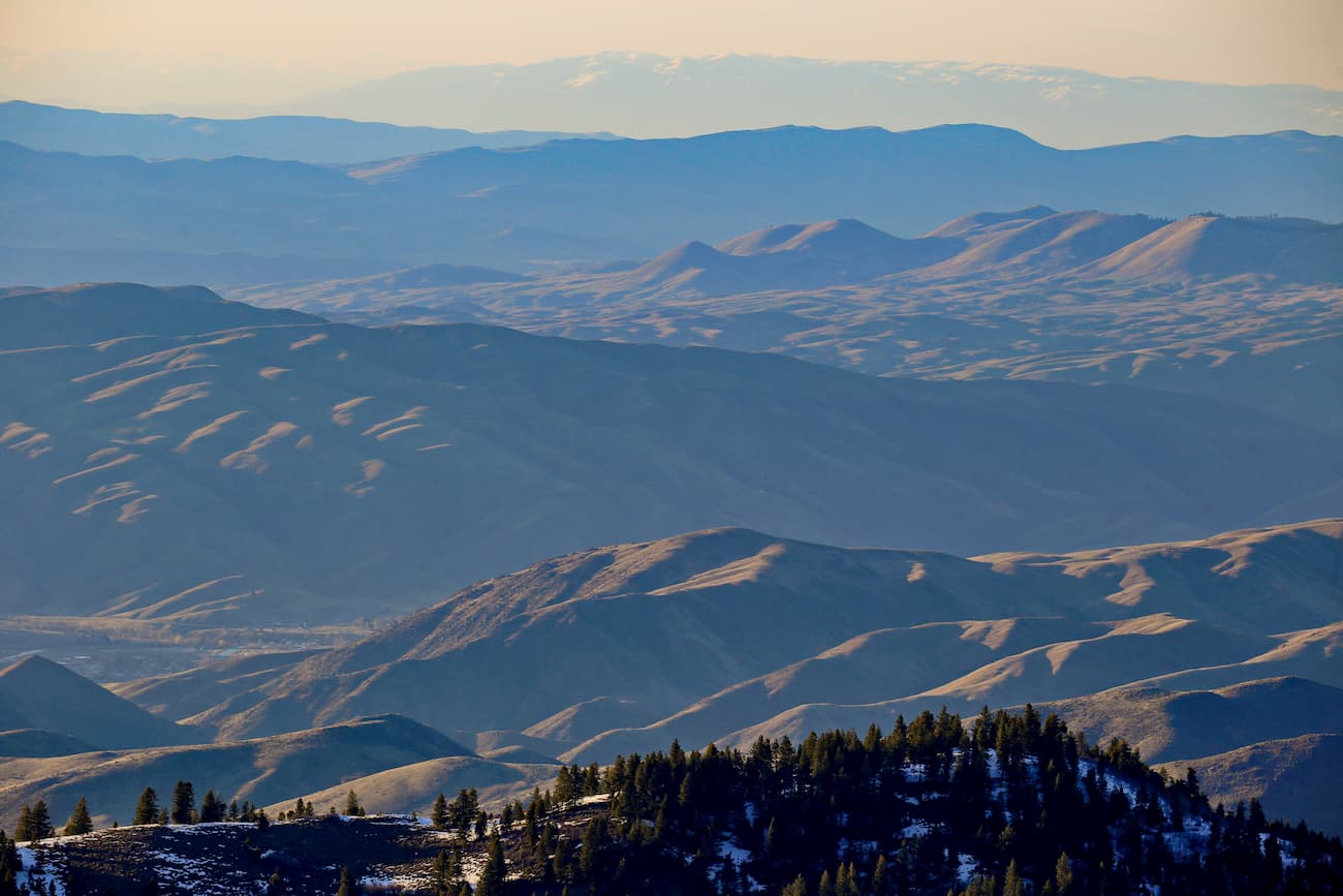
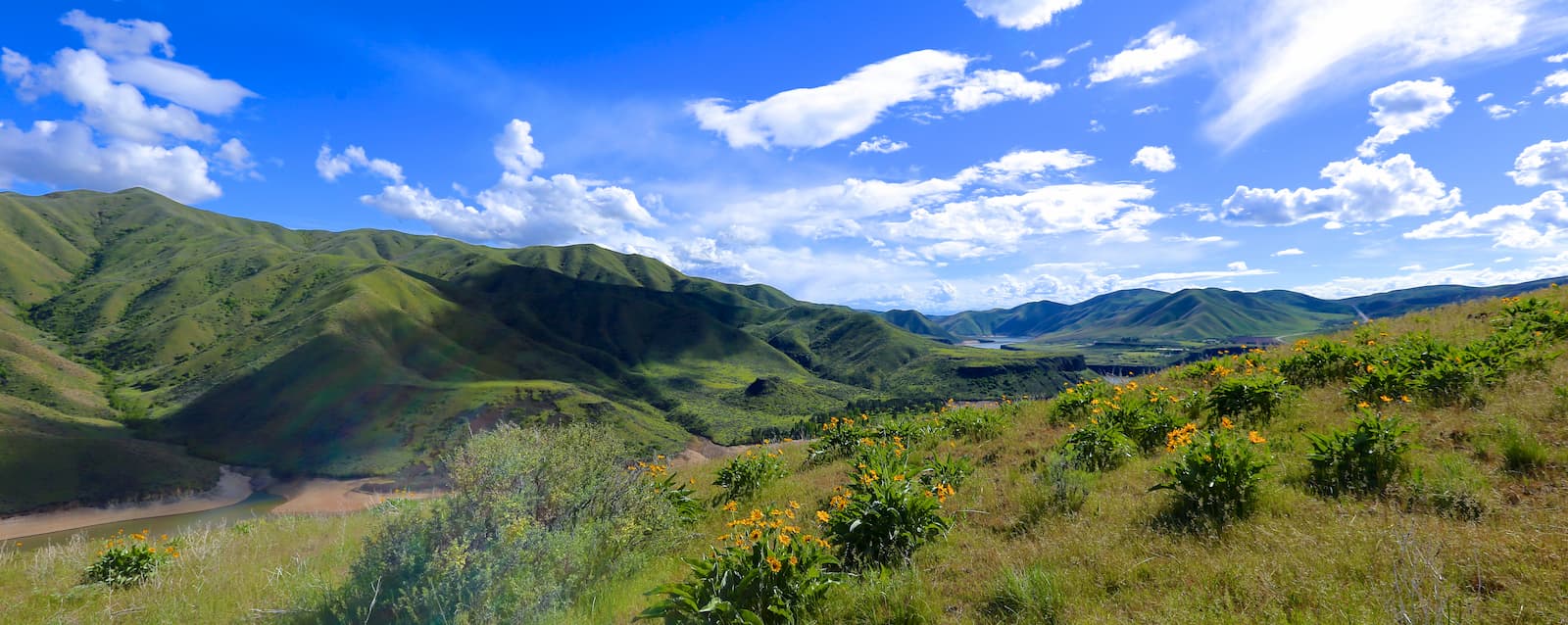
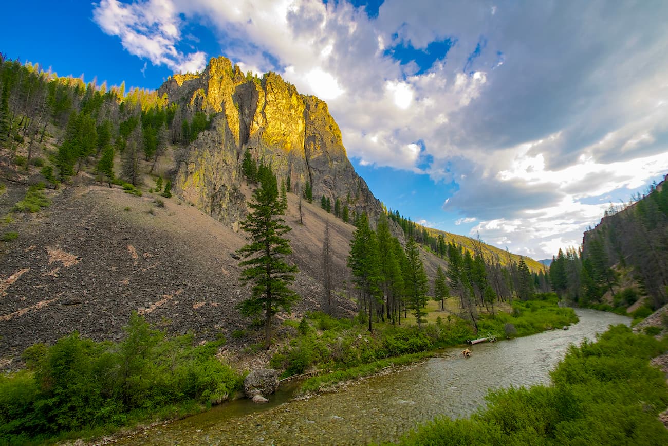
Featuring sharp, jagged granite peaks, and dense coniferous forests, the Boise National Forest is a federally managed area of land in the west-central part of the US state of Idaho. The forest contains 136 named peaks, the highest of which is Steel Mountain (9,728ft,2,956m), and the most prominent of which is Granite Peak (8,721ft/2,521m).
Boise National Forest is located in the west-central part of Idaho near the city of Boise - the state’s capital. Parts of the forest are included within Ada, Elmore, Valley, Gem, Boise, and Washington counties.
It is situated in a highly mountainous region of the state to the west of the Sawtooth National Forest, the Hemingway-Boulders Wilderness Area, the White Clouds Wilderness Area, and the Sawtooth National Recreation Area. The Sawtooth Wilderness is also within the eastern section of the Boise National Forest and is partially administered by the Sawtooth National Forest.
To the northeast, Boise National Forest is bordered by the Salmon-Challis National Forest and the Frank Church-River of No Return Wilderness, the latter of which is also partially located within its borders. Meanwhile, the Payette National Forest, the Hells Canyon Wilderness, and the Wallowa-Whitman National Forest are situated to the north.
While the region to the east of the Boise National Forest is highly mountainous, the western edge of the forest slowly transitions into the low-lying Treasure Valley (a.k.a. The Lower Snake River Valley or Boise River Valley), which is home to the Boise Metropolitan Area and is bisected by I-84.
This valley is the most populous area within all of Idaho and extends further to the west of the state’s boundary into the eastern Oregon. It also separates Boise National Forest from the Morley Nelson Snake River Birds of Prey National Conservation Area to the southwest.
The peaks within Boise National Forest are part of the Idaho-Bitterroot Rocky Mountains, which are a subsection of the greater Rocky Mountains that extend from the state of New Mexico into the province of British Columbia in Canada.
More specifically, the mountains within the forest are part of three main subranges: the Boise Mountains, the Salmon River Range, and the Bitterroot Range. While all three of these subranges have their own unique geologic history, the majority of the forest is underlain by a major geologic structure known as the Idaho Batholith.
The Idaho Batholith is a Creataceous-Paleogene age mass of granites and granodiorites that covers some 9,700 square miles (25,100 sq. km) within the states of Idaho and Montana. They formed as magma cooled under the earth’s surface, creating intrusive igneous rocks. However, there are two lobes of the Idaho Batholith which are geographically and geologically separated.
While the Atlanta Lobe of the Idaho Batholith is located within Boise National Forest, the Bitterroot Lobe is situated further north in the state, near the Idaho Panhandle National Forest, Clearwater National Forest, Selway-Bitterroot Wilderness, and the Nez Perce National Forest.
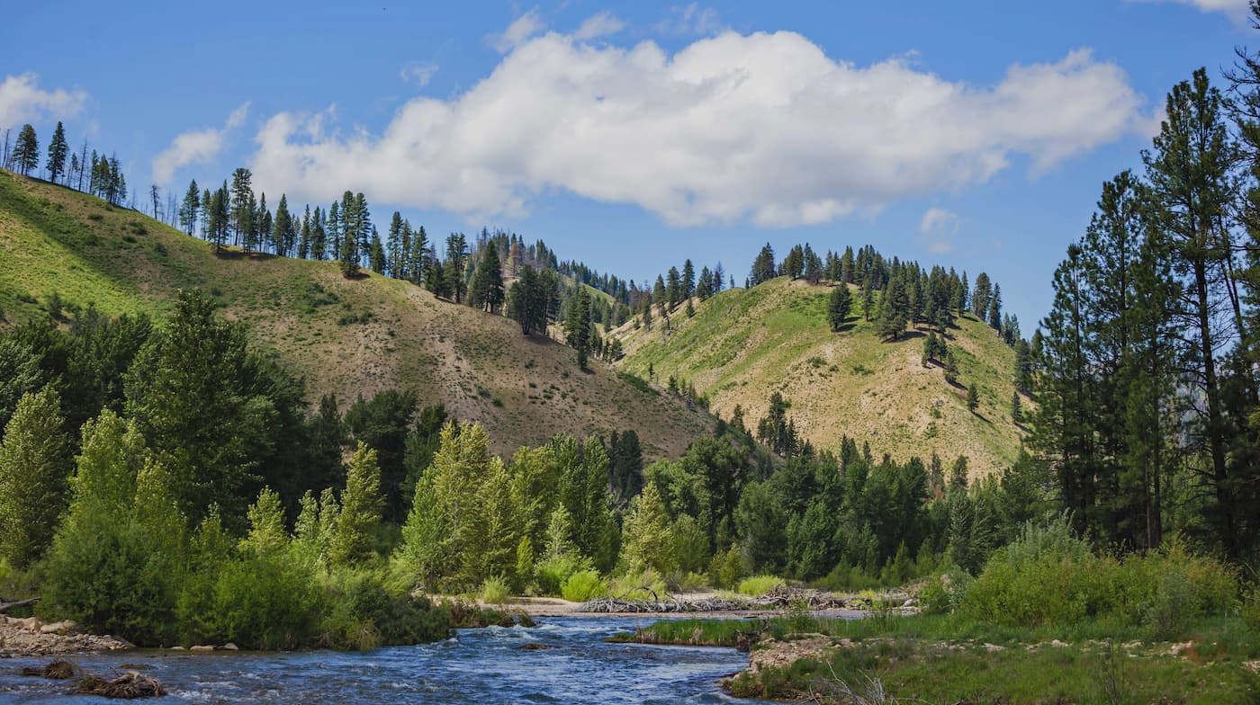
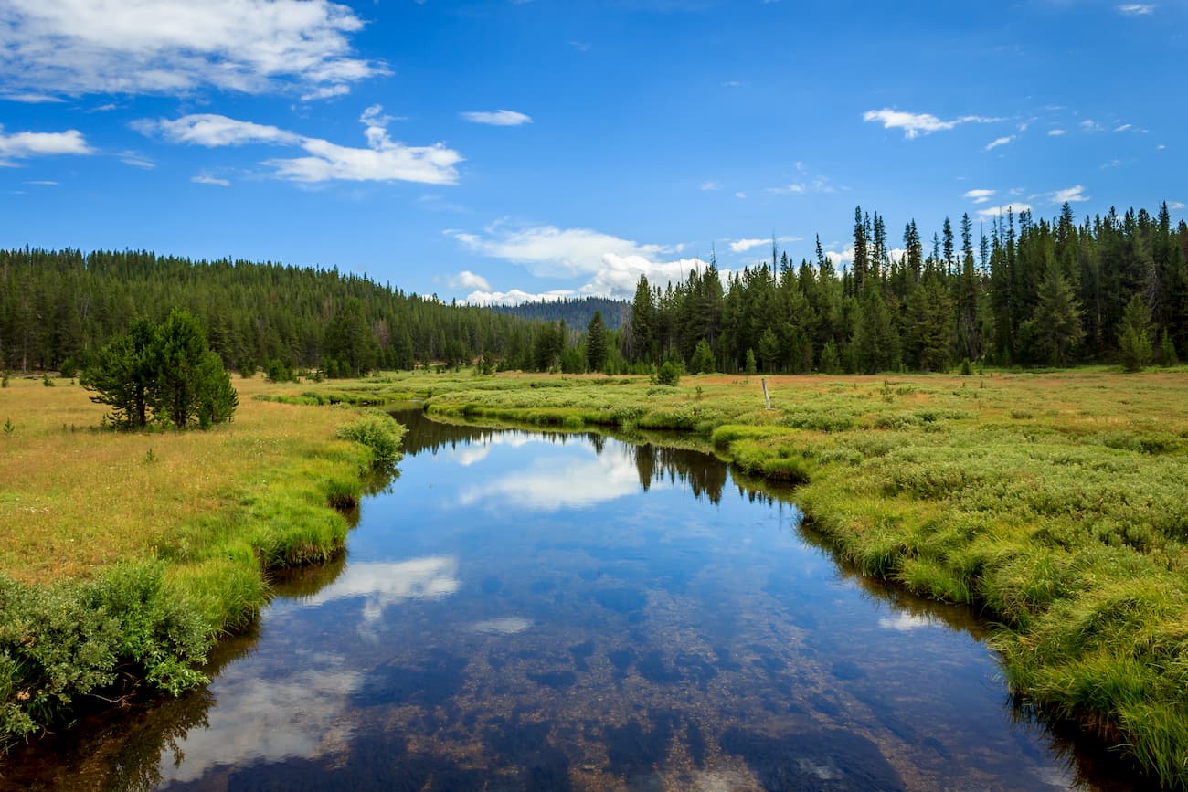
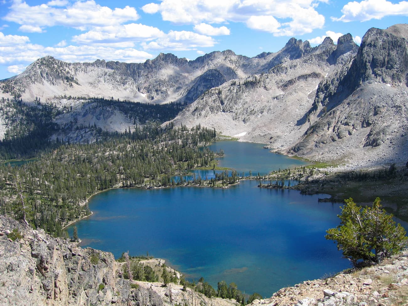
Another defining feature of the Boise National Forest is its extensive network of waterways. There are some 9,600 miles (15,400km) of streams and some 15,400 acres (6,232 ha) of lakes within the forest’s boundaries.
Although 7 of these lakes are man-made reservoirs, there are plenty of natural lakes and ponds within Boise National Forest. A substantial number of these lakes are actually tarns, or proglacial lakes, which formed as a result of the region’s extensive glaciation during the Pleistocene.
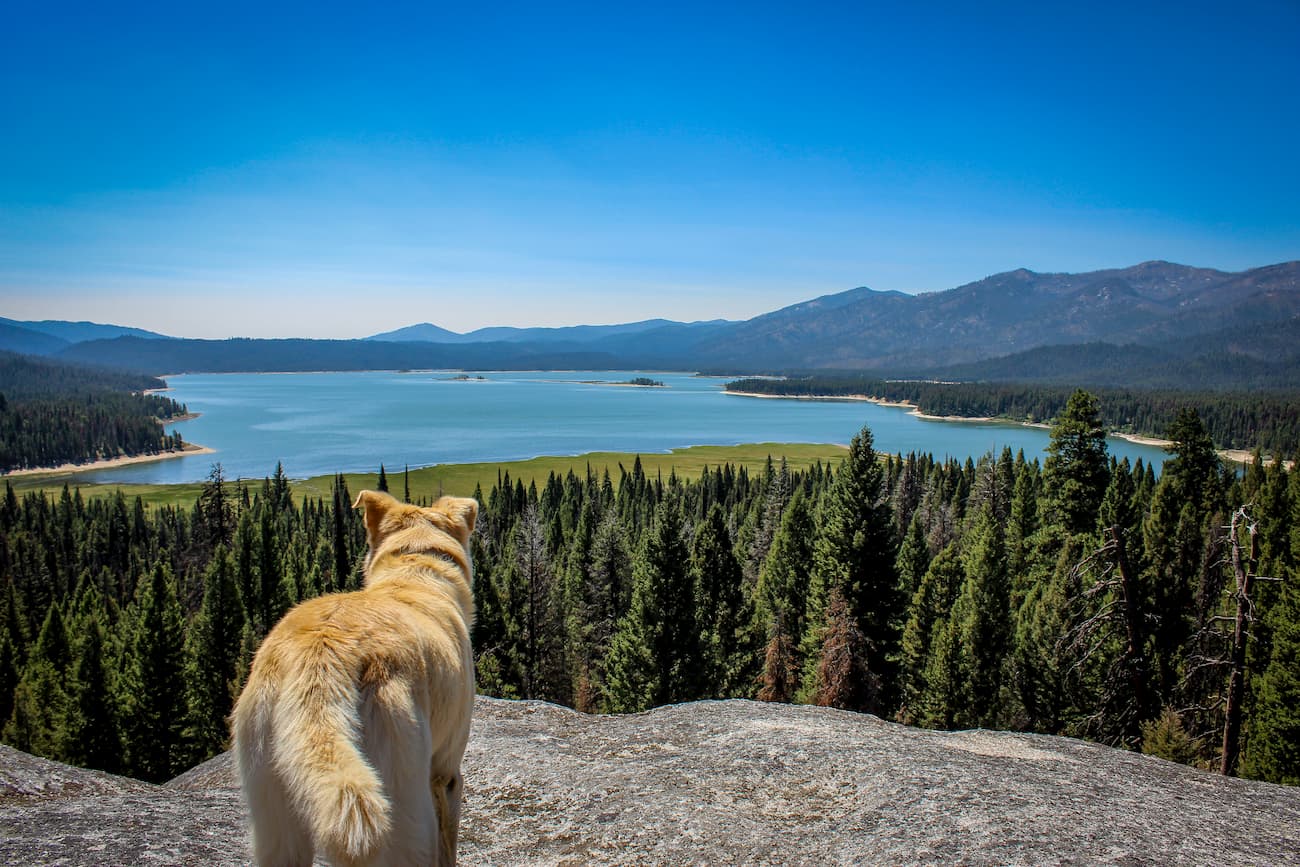
Moreover, the forest contains a number of major watersheds and drainages, including those of the Boise River, the Payette River, the Weiser River, and the Salmon River. These four rivers actually drain into the Snake River, which feeds the Columbia River before it empties out into the Pacific Ocean.
Boise National Forest covers a wide swath of land with varying climate conditions. In the highest elevations, summers are warm and dry while winters are cold and see upwards of 70” (180cm) of snow in the winter months. However, at lower elevations, summers are substantially hotter and often drier than what is found in the mountains.
Ecologically, the Boise National Forest is part of the Idaho Batholith ecoregion which is located throughout central Idaho and parts of western Montana, including sections of the Bitterroot National Forest.
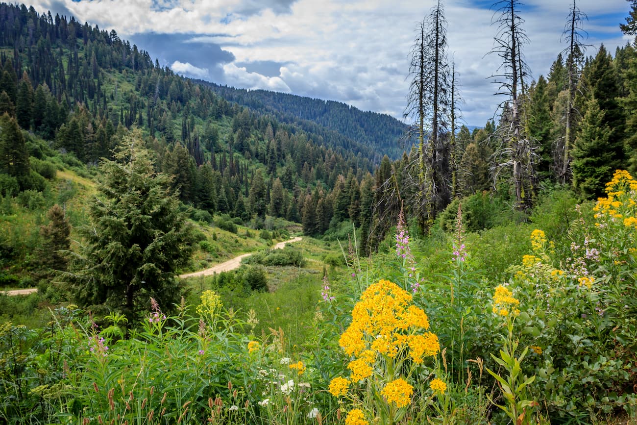
Within Boise National Forest, some three fourths of the land is covered by coniferous forests, including Douglas firs, ponderosa pines, lodgepole pines, subalpine firs, whitebark pines, and Engelmann spruce. Other dominant species include grand fir, western larch, and the broadleaf deciduous quaking aspen.
Additionally, the Sacajawea’s bitterroot, a plant endemic to central Idaho, is found throughout the Boise National Forest. In fact, it’s believed that upwards of 75% of the plant’s populations are within the forest’s boundaries.
Boise National Forest is prime habitat for a wide range of different animals. Major species within the region include elk, mule deer, black bears, coyotes, mountain lions, moose, pikas, and yellow-bellied marmots.
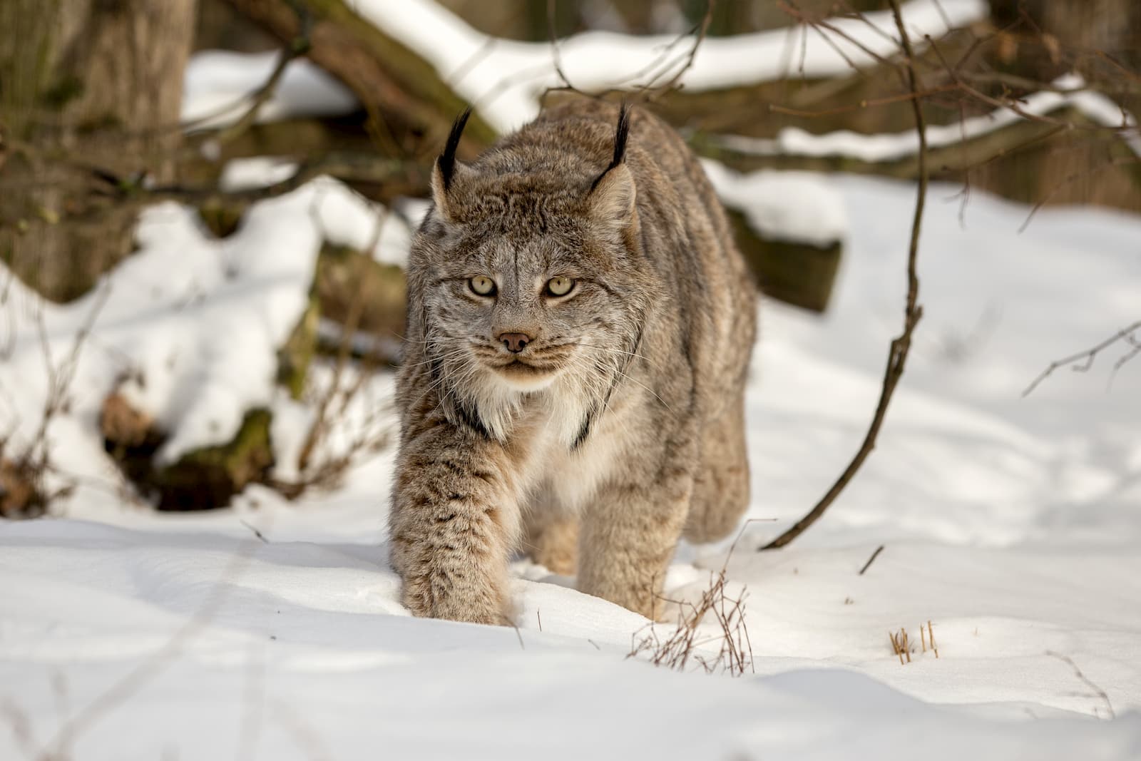
Canadian lynx, mountain goats, pronghorns, and timber wolves, are also found in the region, though the latter was reintroduced to Central Idaho in the 1990s amidst substantial controversy.
Fish are abundant in the forest’s many waterways. Native species to Boise National Forest include westslope cutthroat trout, mountain whitefish, rainbow trout, bull trout, sockeye salmon, chinook salmon, and kokanee salmon. There are also many non-native fish, including Coho salmon and steelhead, which are stocked in the forest’s rivers and lakes.
Finally, Boise National Forest has plenty of bird species to keep avid ornithologists happy. Golden eagles, bald eagles, northern goshawks, white-headed woodpeckers, and greater sage-grouse are found within the forest, among others.
Humans have lived in the region in and around Boise National Forest for thousands of years. Dominant groups within central Idaho include the Shoshone-Bannock, whose ancestral territory includes the majority of the current Boise National Forest, and the Nez Perce (Nimipuu) who traditionally lived in north-central Idaho.
By the early 1800s, Europeans and European-Americans started arriving in the region. The Pacific Fur Company, which was owned by John Jacob Astor, started operations in central Idaho in the early 1810s, while others such as Donald Mackenzie and François Payette started trapping in the forest around 1819.
Although fur trading fizzled out by the 1840s, the rising popularity of the Oregon Trail as a migration route brought settlers past the southern part of what would later become Boise National Forest.
Eventually, gold was discovered in the region in the 1860s, which led to a small Gold Rush in Idaho. During this time silver, tungsten, and mercury were also mined. Much later, in the 1950s, other minerals, including tantalum, uranium, antimony, molybdenum, and niobium were mined in the forest.

In the early 1900s, a series of different National Forests were established in Idaho, including the Sawtooth National Forest and the Payette National Forest (then called “forest reserves”). A few years later, in 1908, a portion of Sawtooth National Forest was then converted into Boise National Forest and became its own, independent entity.
However, in the 1940s, the remaining portions of Payette National Forest were merged with Boise National Forest to expand its boundaries. At the same time, two other former forests - Weiser and Idaho - were combined and renamed to create the Payette National Forest that exists to this day.
Throughout the 1930s and early 1940s, the Civilian Conservation Corps (CCC) was also instrumental in creating trails, roads, campgrounds, and other facilities within the forest. There are currently over 70 campgrounds within the forest, as well as thousands of miles of motorized and non-motorized trails.
With thousands of miles of trails to adventure on, there are countless outdoor recreation opportunities within Boise National Forest. Here are some of the best places to check out:
Located on the eastern edge of Boise National Forest, the Sawtooth Wilderness is a federally-designated wilderness area that’s also partially managed by Sawtooth National Forest and Salmon-Challis National Forest. It contains 67 named mountains, the highest of which is Thompson Peak.
The wilderness covers some 217,000 acres (87,800 ha) of land in central Idaho. It was originally designated in order to preserve the stunning Sawtooth Range, which is known for its ruggedness.
There are hundreds of miles of hiking, backpacking, and horse trails within the wilderness, which offer great access to the backcountry and its many climbing and skiing opportunities.
Situated in the northern reaches of Boise National Forest, the Frank Church-River of No Return Wilderness is a federally-protected area in central Idaho. It contains 159 named peaks, the highest and most prominent of which is Mount McGuire.
The Frank Church-River of No Return Wilderness contains 3,698 square miles (9,580 sq. km) of land, making it the biggest single contiguous federal wilderness in the United States outside of the state of Alaska. When combined with the nearby Gospel-Hump Wilderness, the Frank Church-River of No Return Wilderness is the focal point of a 5,000 square mile (13,000 sq. km) roadless area in the heart of Idaho.
It is managed by the Boise National Forest, the Payette National Forest, the Salmon-Challis National Forest, the Bitterroot National Forest, the Nez Perce National Forest, and the Bureau of Land Management.
Although it was originally just called the “River of No Return Wilderness Area,” it was later renamed after Frank Church, a US Senator, in 1984. Frank Church was instrumental both in the passing of the 1964 Wilderness Act and in the creation of this wilderness area.
The region is a prime habitat for wildlife, thanks to its large roadless area. It is especially important as a wolverine habitat, though it is also home to sizable populations of mountain lions, grey wolves, black bears, bighorn sheep, and mountain goats.
Here are some of the best places to stay during your trip to the Boise National Forest:
Boise is the largest city in Idaho and the state’s capital. It is home to some 228,000 people and is located just southwest of Boise National Forest. The city is the heart of the most populous region in Idaho and is integral to the state’s transportation industry.

Boise is located along I-84, which offers good connections to Portland and Salt Lake City. It also has an airport which is by far the largest in the state.
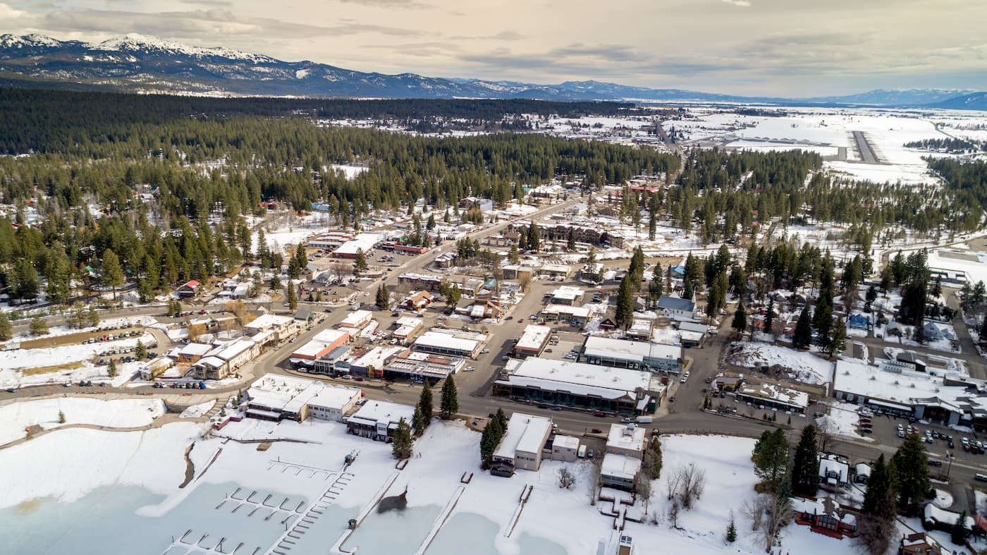
The city of McCall is located just north of Boise National Forest. Although it has just 2,000 year-round residents, it is a popular winter resort destination, thanks to its proximity to a number of alpine ski resorts.
It is about a 2 hour drive from Boise and it has a small airport with service to Boise. The McCall airport is also one of the United State’s 8 Forest Service smokejumper bases, which are used to fight forest fires.