Get PeakVisor App
Sign In
Search by GPS coordinates
- Latitude
- ° ' ''
- Longitude
- ° ' ''
- Units of Length

Yes
Cancel
❤ Wishlist ×
Choose
Delete
The Sawtooth National Recreation Area is located within the Sawtooth National Forest. The forest is located in the state of Idaho and spans 730,864 acres. There are 16 named mountains in Sawtooth National Recreation Area. Silver Peak is the highest point at 11,112 feet. The most prominent mountain is Lookout Mountain.
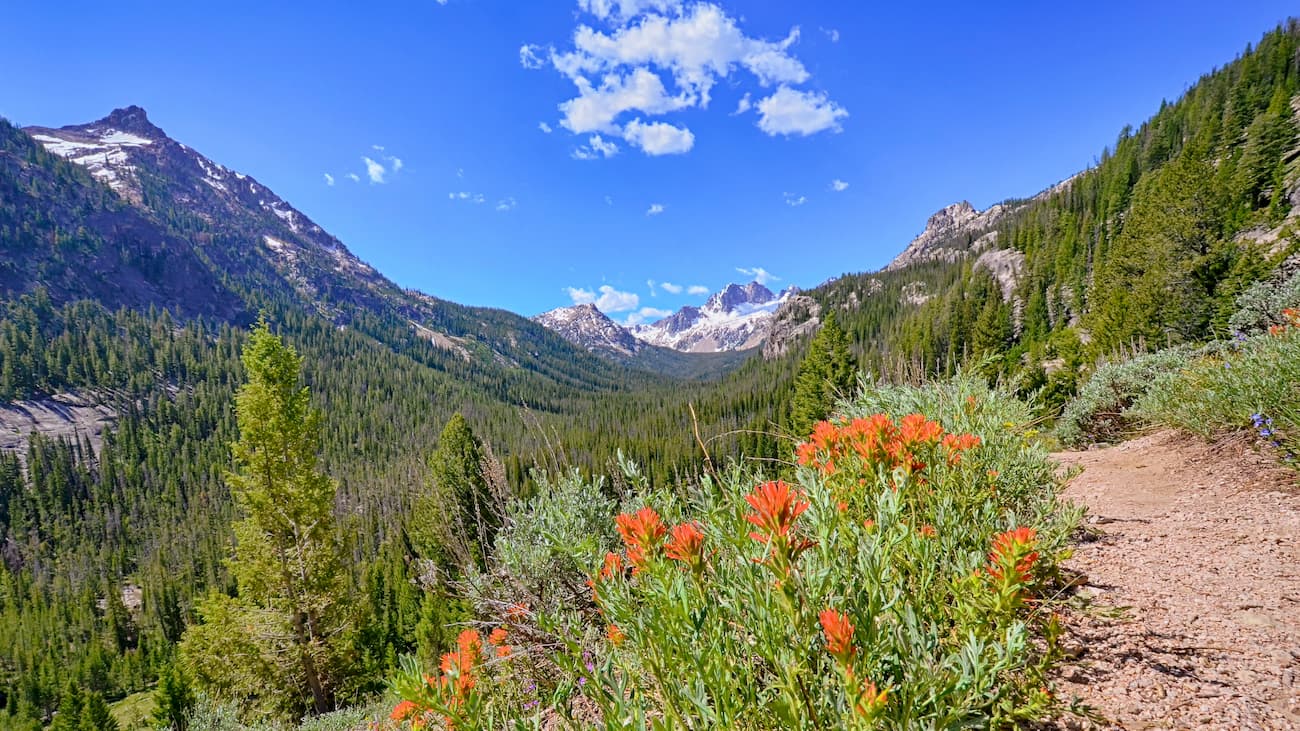
The Sawtooth National Recreation Area, along with the Sawtooth Wilderness, were established in 1972. Much of the recreation area was covered in glaciers which has given way to the unique landscape. Today the area is characterized by glacial lakes, hanging valleys, cirques, and narrow ridgelines. Within the Sawtooth National Recreation Area, lies the Sawtooth Fault. The fault runs about 40 miles within the Sawtooth Valley though it hasn’t been the cause of an earthquake for thousands of years. Within the recreation area lie the Sawtooth, White Cloud, Boulder and Smoky Mountains. Multiple major river headwaters are in this recreation area, including the Salmon, Big Wood, Boise, and Payette rivers.
In the 1990s timber wolves were reintroduced to the region. Today they inhabit the area along with the endangered Canadian lynx. The Sawtooth valley was a popular site for the Mountain pine beetle in the early 2000’s. These beetles destroyed thousands of trees across the valley but forest management has controlled the outbreak.
Many of the trails in the Sawtooth National Recreation Area start at the Redfish Lake Inlet. It should be noted that the inlet is located on the south side of the lake with the road ending on the north side. Hikers can hike six miles from the parking lot or take a ferry across the lake. The loop around the entire lake totals 13 miles and has 2,178 feet of elevation gain. From the inlet, there are trails leading to the popular Alpine Lake, Saddleback Lake, and Lily Pond. Hikes from the inlet range from 10 miles to a short 1.4 miles.
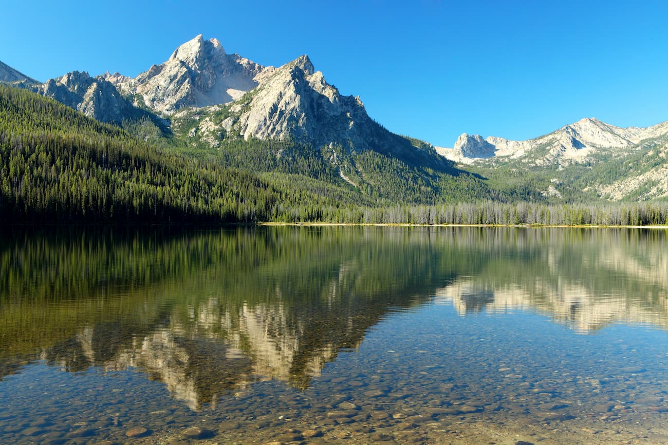
This popular out and back hike totals 12.8 miles with 3,421 feet. The trail climbs steadily up to Sawtooth Lake, surrounded by trees with Alpine Peak overlooking the water. Stop here or continue upward to the summit of Alpine Peak for expansive views of the lake below as well as the expansive Sawtooth National Recreation Area.
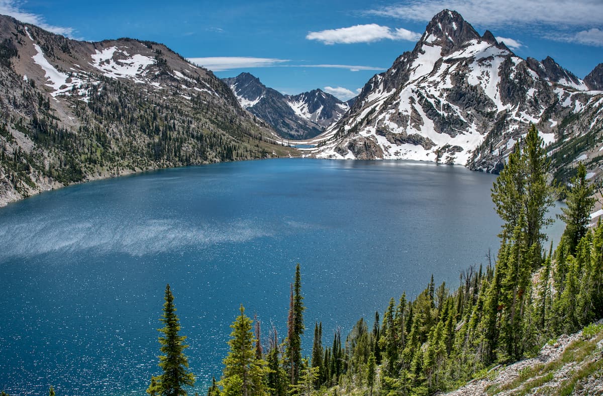
As the most prominent mountain in the area, Lookout Mountain stands at 9,925 feet tall. The trail totals 10 miles with 2,500 feet of total elevation gain. Much of the elevation gain is in the final few miles up to the summit. While the summit offers incredible views of the wilderness below, be careful for approaching storms as the peak is quite dangerous during lightning storms.

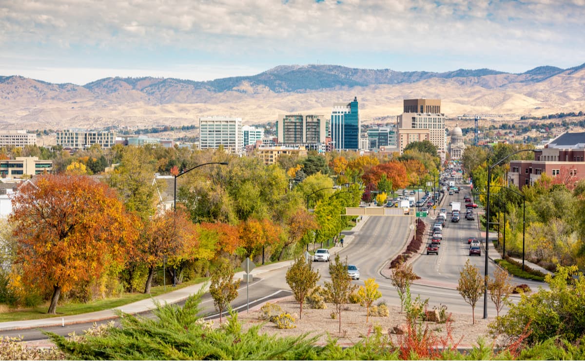
The city of Boise is the capital of the state of Idaho and the most populous city in the state. Situated on the Boise River, the city is 41 miles east of the Oregon border and 110 miles north of the Nevada border. The Boise metropolitan area contains the state’s three most populous cities; Boise, Nampa, and Meridian with a total population of 710,000. The city is known as “The City of Trees” and the downtown area is full of shops and local dining options. The town is home to numerous recreational opportunities which include hiking and biking. Boise is also home to the Boise River Greenbelt which is an extensive urban trail system along the Boise River.
Explore Sawtooth National Recreation Area with the PeakVisor 3D Map and identify its summits.


