
Scan the QR code and open PeakVisor on your phone
The Craig Mountains include 21 named peaks. The highest is Cottonwood Butte at 1,745 m. Other notable peaks include Craig Mountain, Frye Point and Fort Simons Ridge.
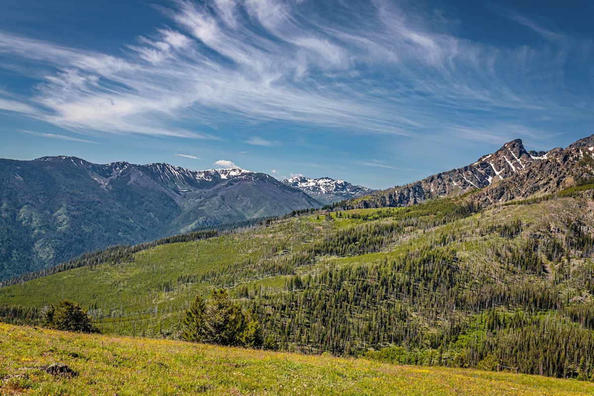
The Craig Mountains are a small range located in northern Idaho, near the city of Lewiston. There are 14 named mountains in Craig Mountains. The highest and the most prominent mountain is Cottonwood Butte at 5,725 feet. The mountains lie within the Craig Mountain Wildlife Management Area that spans 115,000 acres across Idaho. The region was protected back in 1971 and now serves as a region dedicated to enhancing wildlife populations and the native habitat. The mountains sit on the Camas Prairie.
At the highest point, on Cottonwood Butte, lies a small ski resort. This one chairlift ski area offers skiers panoramic views of the surrounding Craig Mountains along with the expansive plateau below. Nearby Craig Mountain, after which the range is named for, has an elevation of 5,285 feet.
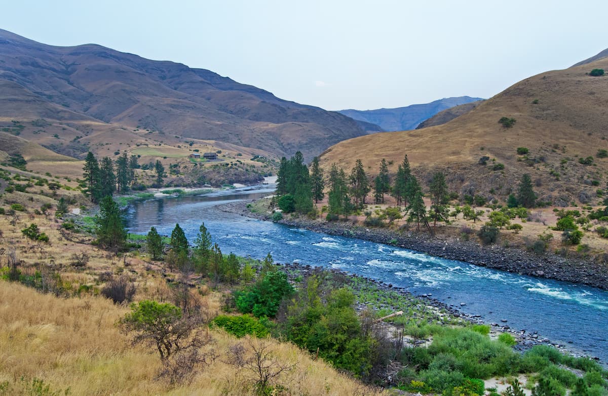
The Craig Mountains sit at the confluence of the Snake and Salmon rivers. The rolling peaks are thinly forested, with large areas of open fields. Wildlife is abundant in the mountains, mainly thanks to the protected Wildlife Management Area. The unique landscape provides home for rattlesnakes, elk, deer, numerous varieties of fish, and even bighorn sheep. To the west of the mountains lies the Umatilla National Forest, while to the east and south lies the Nez Perce, Selway-Bitterroot, and Clearwater National Forests.
Due to the Craig Mountain Wildlife Management Area, there are limited trails throughout the Craig Mountains. However, there are ATV trails in sections that can occasionally be used for day hiking.
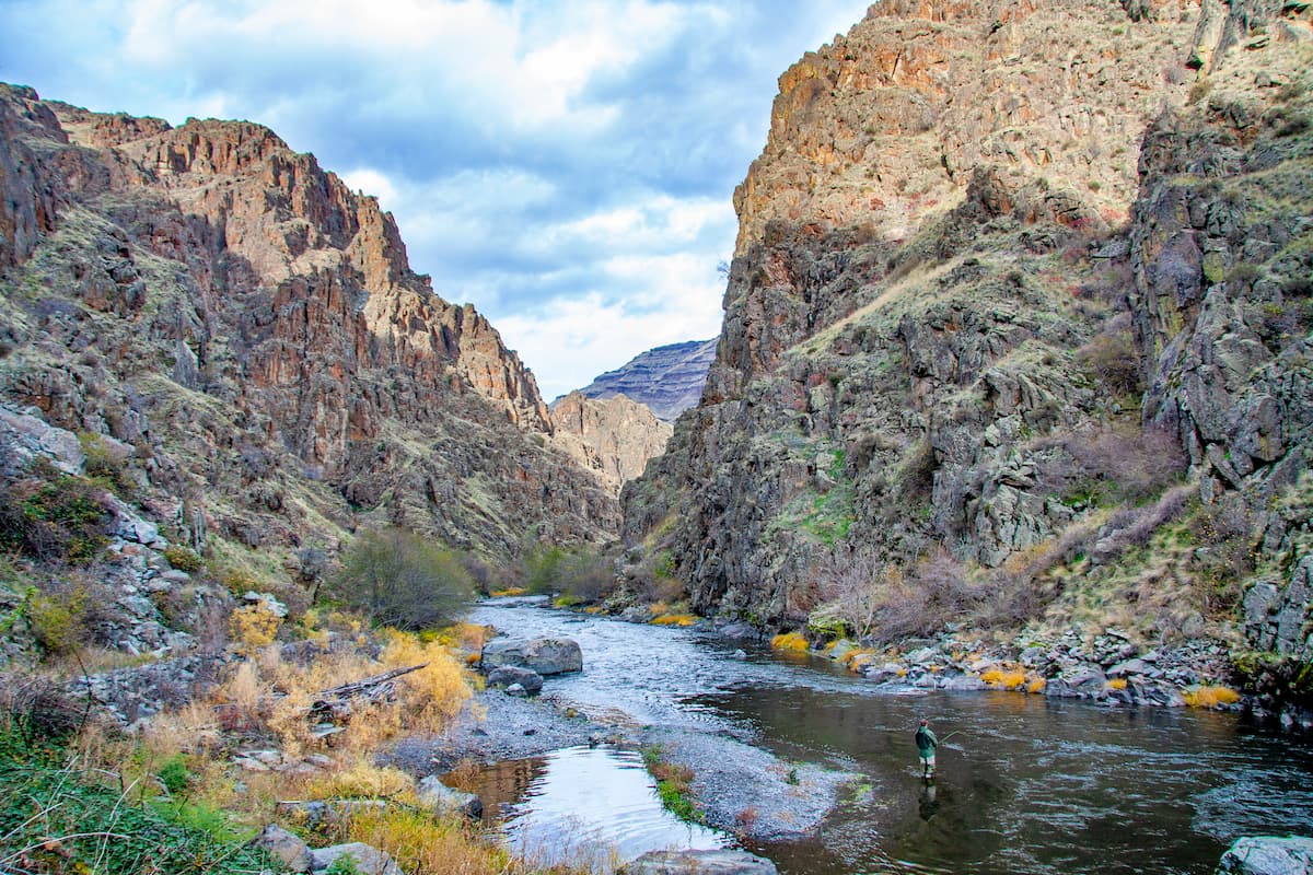
Red Bird Trail: Located in the heart of the Craig Mountains lies the Red Bird Trail. This route is 10.3 miles with 2,175 feet of total elevation gain. The trail winds through the steep rolling hills, through smaller forest sections, along with fields of wildflowers. Eventually the trail leads down to the scenic Snake River and then hikes back out to the starting point.
Snake River: In the northern foothills of the Craig Mountains lies the confluence of the Snake and Clearwater Rivers. Along the Snake River, in Hells Gate State Park, lies numerous hiking trails offering the scenic water views. The main trail is six miles long with 800 feet of elevation gain. The trail winds along the river, while also taking hikers past the unique rock structure of the surrounding peaks.
The city of Lewiston, Idaho sits in the northern foothills of the Craig Mountains. The city has a population of 32,000 people and sits at the confluence of the Snake and Clearwater Rivers. Because of dams along the Snake and Columbia Rivers, the city of Lewiston can be reached by some ocean boats, making it the most inland possible port of the west coast. The small city is home to the Hells Canyon National Recreation Area which offers hiking trails.
Located two hours to the north lies the city of Coeur d’Alene, Idaho. Located in northwestern Idaho, the city of Coeur d’Alene is located on Lake Coeur d’Alene. The city has a population of 50,000 which surges during the summer months due to the popularity of the large lake. The city is home to local restaurants, shops and is known for the water-based activities and the trail systems in nearby Canfield Mountain Natural Area.

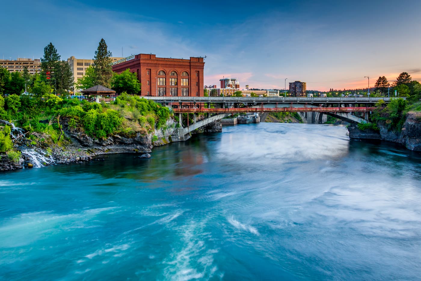
Though located in Washington state, Spokane is just under two hours from the Craig Mountains. Located just southeast of the Okanogan Highlands, Spokane is the most populous city in eastern Washington. The Spokane river runs through the city while it sits 92 miles south of the Canada-U.S. border. With a population of 222,000, Spokane is the second largest city within the state of Washington. While most of the state’s population lives on the western side of the Cascade Mountain Range, Spokane is a hidden gem for any outdoor enthusiast. There are four ski resorts within two hours of downtown, while rock climbing, hiking, running, rafting, canoeing, and fishing are all accessible within minutes.


The highest peak in the Craig Mountains is Cottonwood Butte, at 1,745 m.
The Craig Mountains have 21 named peaks.


