Scan the QR code and open PeakVisor on your phone
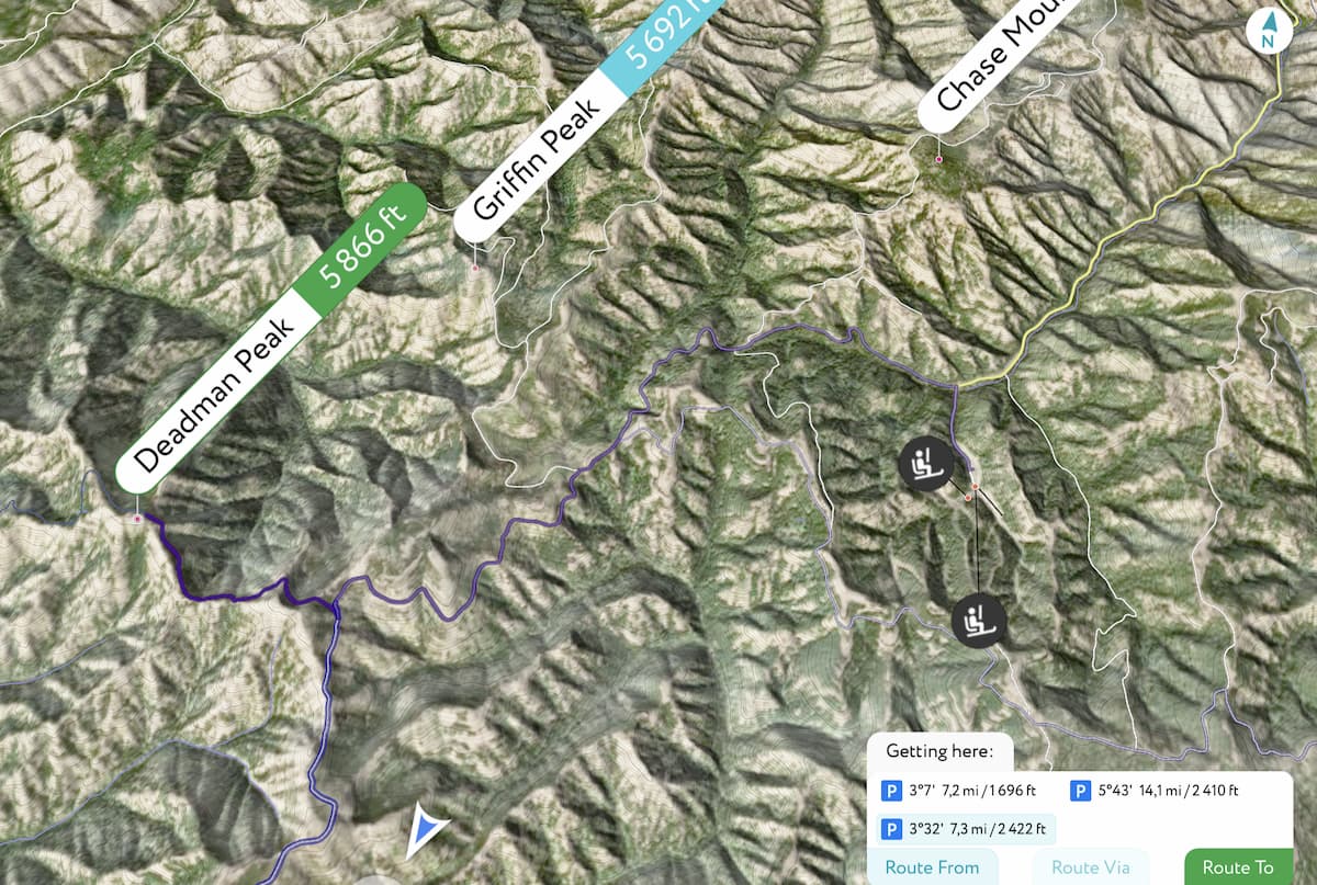
The Wenaha-Tucannon Wilderness is located in northeastern Oregon and southeastern Washington in the Blue Mountains. The area was created in 1978 thanks to the Endangered American Wilderness Act. The wilderness spans 177,423 acres across the two states. There are 13 named mountains in Wenaha-Tucannon Wilderness. The highest and the most prominent mountain is Oregon Butte at 6,385 feet.
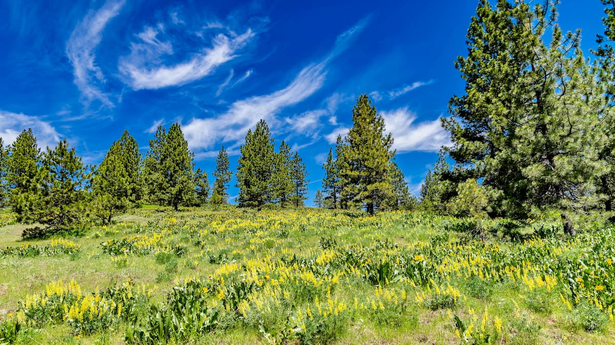
As a whole the region is characterized by sharp basaltic ridges separated by deep and rugged canyons with steep slopes. The elevation in the wilderness ranges from 2,000 feet, at the Wild and Scenic Wenaha River, up to 6,385 feet at the summit of Oregon Butte. Much of the wilderness is covered in ponderosa pine which transitions to lodgepole pine at higher elevations.
Nearly every animal that can be found within the Blue Mountains can also be found in the Wenaha-Tucannon Wilderness. This includes moose, Rocky Mountain elk, deer, bighorn sheep, cougar, grey wolf, coyote, and many more. The Tucannon and Wenaha Rivers provide an abundant spawning ground for salmon. The network of trails in the wilderness totals over 200 miles with many of them dipping down into the canyons. Much of the trail system is accessible between June and November though hikes at higher elevation usually have snow falls until mid-July.
This trail takes you to the highest point in the entire wilderness, Oregon Butte. The trail totals 5.6-miles with 1,433 feet. The trail climbs steadily before reaching the summit. At the top there is a lookout tower that often has a Park Ranger. As the tallest point in the wilderness, the top of Oregon Butte offers panoramic views of the entire wilderness and the Umatilla National Forest to the south. At over 6,000 feet of elevation, the temperatures can change so be sure to pack extra layers just in case.
Located in the Washington section of the wilderness, this hike totals 8-miles with 1,200 feet of elevation gain. The trail climbs steadily through the forest passing Sheep Falls before continuing through the forest. This trail is also a popular spot to search for morel mushrooms native to the region.
The trail is 3.7-miles with just under 1,000 feet of elevation gain. The peak was named after the plane crash of 1943 Flying Fortress where the entire crew perished. There is yet to be an established memorial at the peak. From the top the peak looks out over the surrounding rolling hills with the Washington plains in the distance. Note that the region is regularly home to black bears so be sure to stay alert while hiking.
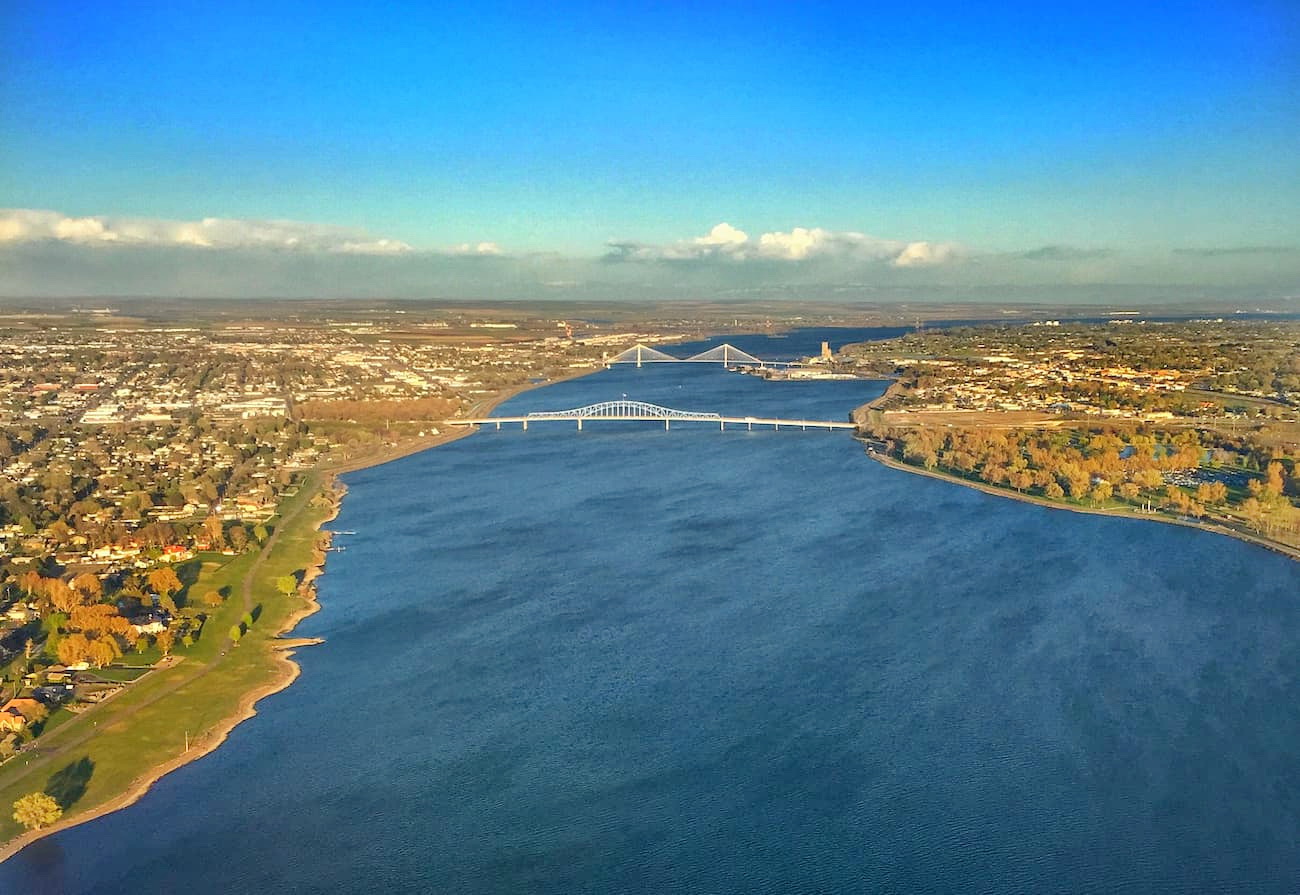
The Tri-Cities, includes three closely linked cities; Kennewick, Pasco, and Richland. The cities are situated where the Yakima, Snake, and Columbia rivers meet. Situated about an hour west of the Umatilla National Forest, the area has been historically based on farming and the Hanford Nuclear Reservation. Farming has been popular due to the irrigation from the three conjoining rivers. The area is home to seven river-front parks that are popular among locals and tourists alike.
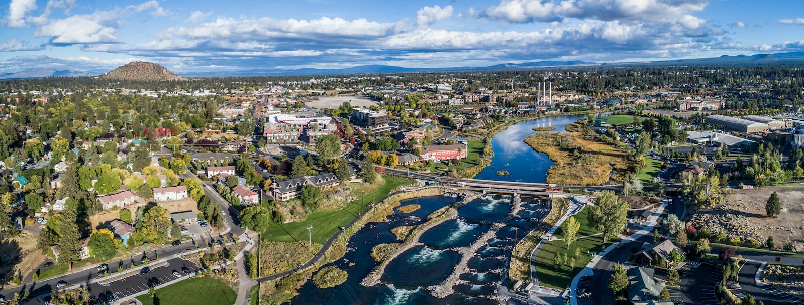
Bend is the largest city located in eastern Oregon with a population of nearly 100,000. The city is located on the Deschutes River and is known for being an outdoor paradise. To the west lies the lake and peaks of the Cascade Mountains, along with Mount Bachelor Ski Resort, while a trail in the city leads to the top of Pilot Butte. To the south lies the High Desert Museum and Newberry National Volcanic Monument. Just north of town is one of the state’s most iconic rock-climbing locations, Smith Rock State Park. As a whole, the city is a mecca for trail running, skiing, mountain biking, hiking, rock climbing, and even surfing in the river. Besides the abundance of outdoor activities, Bend is known for its numerous breweries and restaurants.
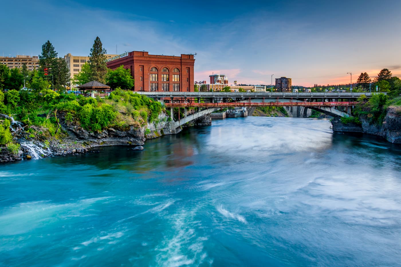
Located two hours north of the Umatilla National Forest, Spokane is the most populous city in eastern Washington. The Spokane river runs through the city while it sits 92 miles south of the Canada-U.S. border. With a population of 222,000, Spokane is the second largest city within the state of Washington. While most of the state’s population lives on the western side of the Cascade Mountain Range, Spokane is a hidden gem for any outdoor enthusiast. There are four ski resorts within two hours of downtown, while rock climbing, hiking, running, rafting, canoeing, and fishing are all accessible within minutes.