Scan the QR code and open PeakVisor on your phone
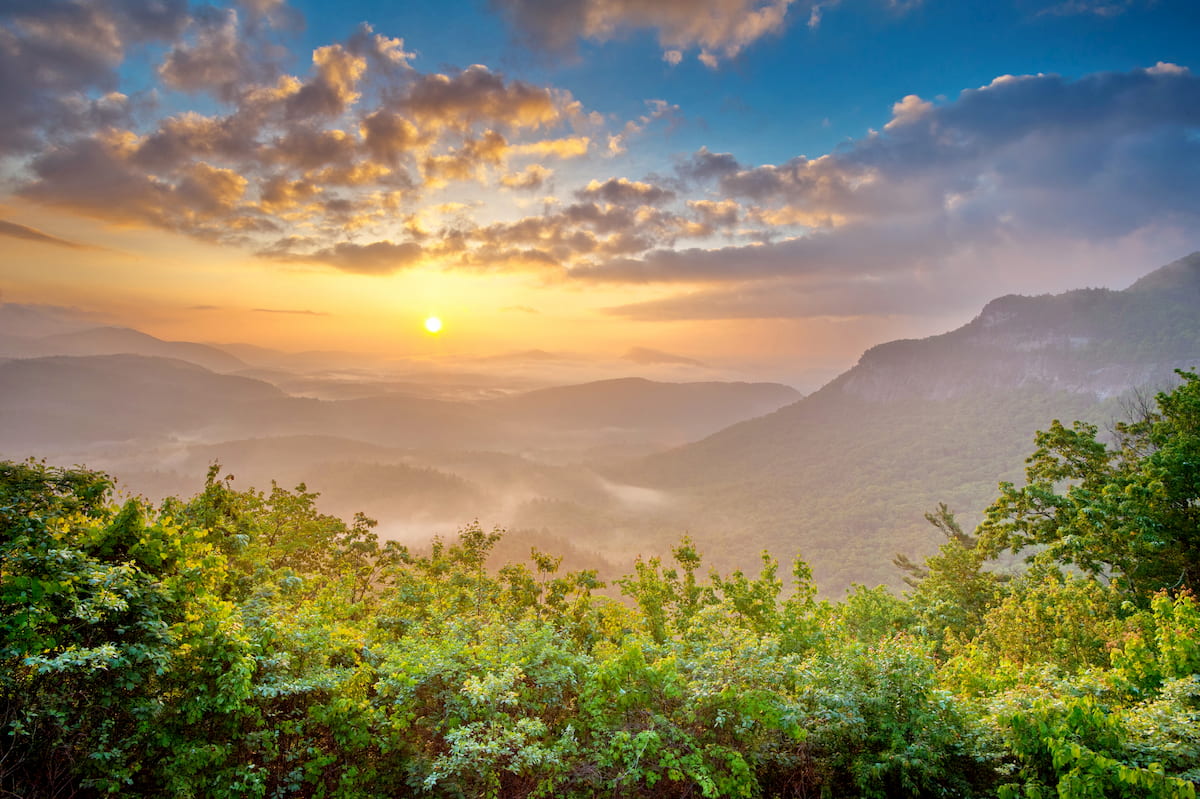
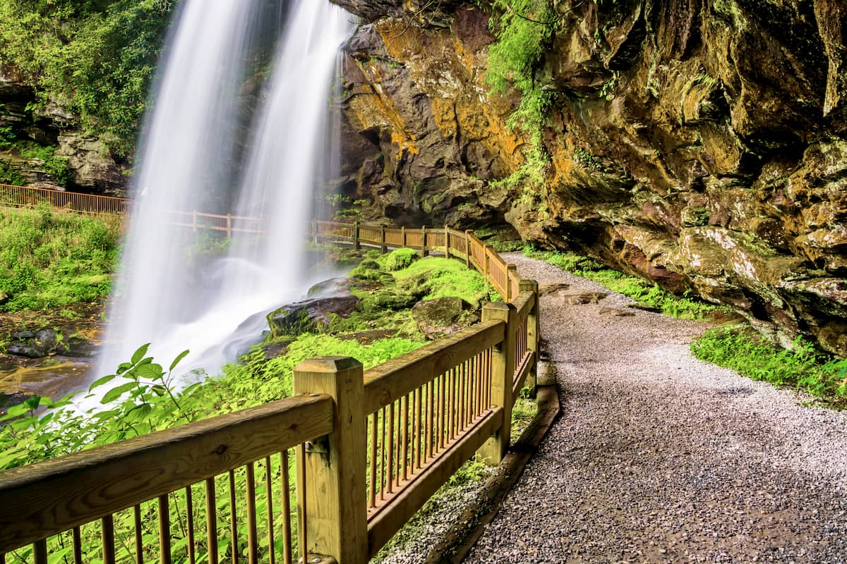
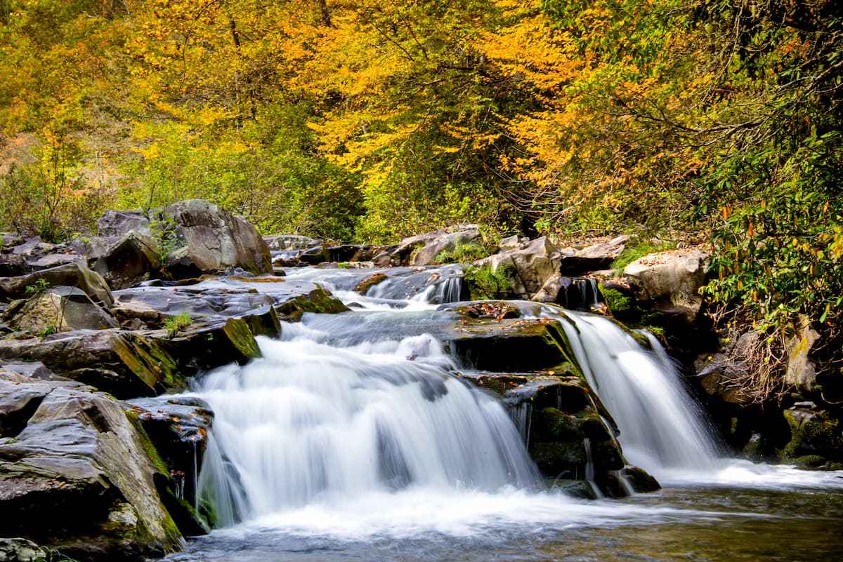
With glistening streams and raging waterfalls, the Tusquitee Ranger District of Nantahala National Forest offers plentiful opportunities for relaxation in solitude in the southwestern corner of the US state of North Carolina. The Tusquitee Ranger District contains 111 named mountains, the highest and most prominent of which is Standing Indian (5,492ft/1,674m).
Covering some 158,348 acres (64,081 ha) of land the Tusquitee Ranger District is the second largest district in the 531,270 acre (214,997 ha) Nantahala National Forest, after the Nantahala Ranger District to the east. However, it is slightly larger than the Cheoah Ranger District, which is located to the north.
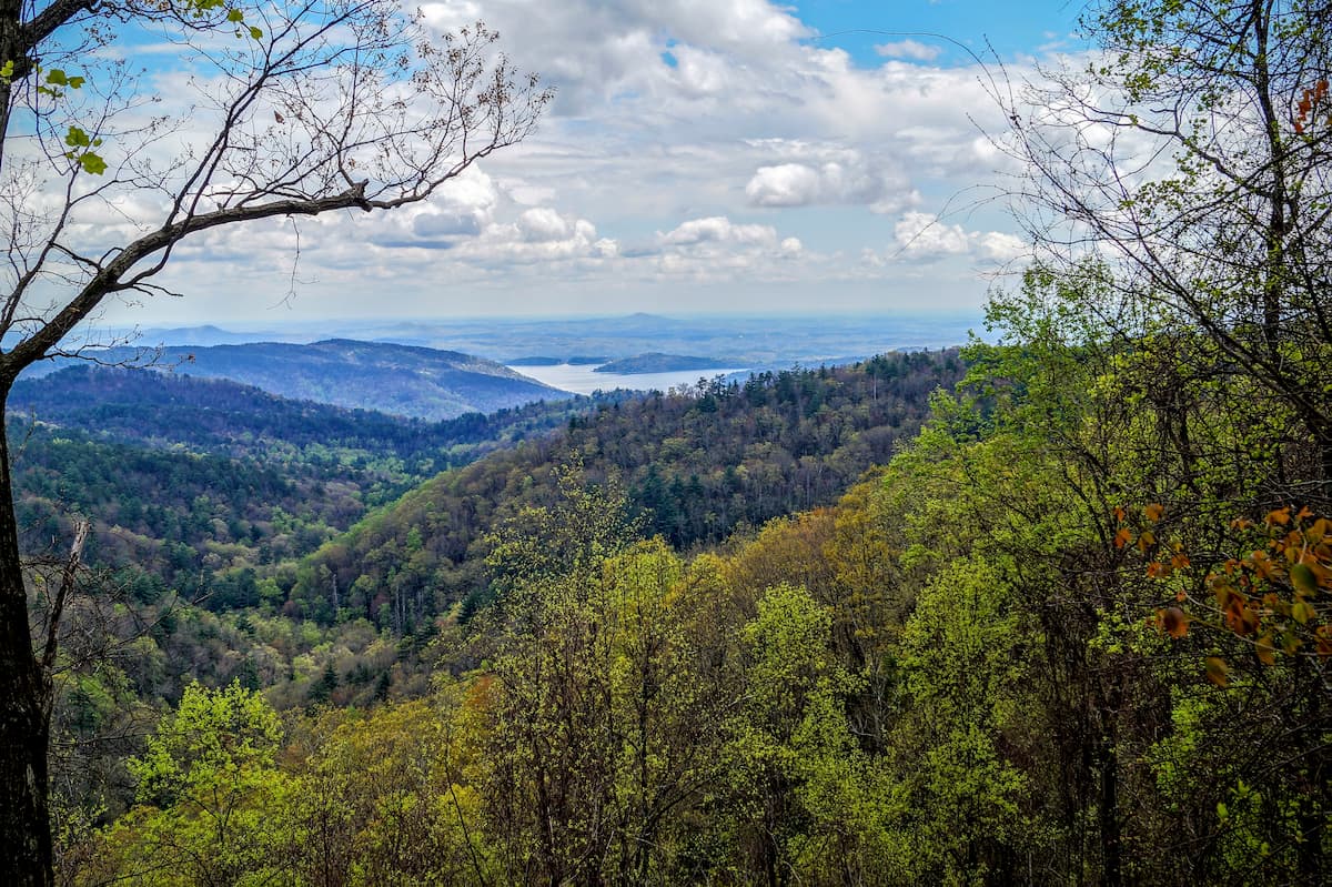
The Tusquitee Ranger District is located mostly within Clay and Cherokee counties. It is nestled in the southwestern corner of North Carolina, near the state’s borders with both Georgia and Tennessee. Additionally, the ranger district is home to 2 major rivers, the Valley and Hiwassee Rivers, as well as a number of large lakes, which provide excellent watersports opportunities.
Due to its location and highly mountainous terrain, the Tusquitee Ranger District of the Nantahala National Forest is situated amongst a patchwork collection of publicly-owned land.
It contains the Southern Nantahala Wilderness, which is the second largest of the 3 wilderness in the forest. The Southern Nantahala Wilderness is smaller than the Joyce Kilmer-Slickrock Wilderness to the north, but larger than the Ellicott Rock Wilderness to the east, the latter of which is also part of the Sumter National Forest and the Chattahoochee-Oconee National Forest.
To the west of the Tusquitee Ranger District is the Cherokee National Forest and the Cohutta Wilderness of the Chattahoochee-Oconee National Forest (Conasauga District). It is situated to the south of the Cheoah Ranger District, as well as the Joyce Kilmer-Slickrock Wilderness, the Citico Creek Wilderness of Cherokee National Forest, and Great Smoky Mountains National Park.
Meanwhile, the Tusquitee Ranger District is bordered by the Nantahala Ranger District, the Needmore Gameland, the Pisgah National Forest, and the Shining Rock Wilderness to the east. In Georgia, just to the south of the ranger district, lies the Chattooga District and the Blue Ridge District of the Chattahoochee-Oconee National Forest.
The mountains within Nantahala National Forest’s Tusquitee Ranger District are part of the Blue Ridge Mountains system, which is a subrange of the greater Appalachian Mountains. Additionally, the forest is also home to a small subrange called the Valley River Mountains.
For the most part, the Tusquitee Ranger District is surrounded by other parts of the Blue Ridge Mountains and its subranges, including the Unicoi Mountains and the Great Smoky Mountains to the west and north, as well as the Great Balsam Mountains, the Alarka Mountains, and the Plott Balsams to the east.
The mountains within the Tusquitee Ranger District of the Nantahala National Forest are part of the Blue Ridge Mountains, which is a system of mountain ranges within the Appalachian Mountains that runs from Georgia to the border between Maryland and Pennsylvania.
Technically speaking, the Blue Ridge Mountains are what’s known as a physiographic province, which means that they are part of an area that has a distinct set of features and landforms. For the most part, the Blue Ridge Mountains are composed of both igneous and metamorphic rocks dating back to the Precambrian to Paleozoic eras.
From a geological perspective, the Blue Ridge Mountains are very old, as they started to form about 1.1 billion to 250 million years ago during the Grenville and Alleghenian orogenies. However, unlike many much younger ranges, such as the Andes, Alps, and Himalaya, the Blue Ridge Mountains have been heavily eroded down to their present height and shape over the past hundreds of millions of years.
The rocks in and around the Nantahala National Forest, as well as the rocks in the neighboring Pisgah National Forest, are rich in valuable minerals. Some of the many minerals that are commercially mined in this region include olivine, sapphires, rubies, quartz, emeralds, mica, feldspar, and amethyst.
Major peaks in the ranger district include Standing Indian, Signal Bald, Boteler Peak, Teyahalee Bald, London Bald, and Kimsey Bald.
Like the rest of the surrounding region, the Tusquitee Ranger District of the Nantahala National Forest is part of the Blue Ridge ecoregion, which includes the majority of the Blue Ridge Mountains.
There are a number of plant communities within the Nantahala National Forest, including shortleaf pine, oak, heath, chestnut, and hickory forests at the lower elevations. At mid-elevations within the forest, one can find various northern hardwoods.
Meanwhile, at the very highest elevations above 5,500 feet (1,676m), there are spruce-fir forests in places like Great Smoky Mountains National Park, but the Tusquitee Ranger District doesn’t quite have large enough patches of high elevation terrain to support widespread spruce-fir forest cover.
Wildlife in the Nantahala National Forest and the Tusquitee Ranger District is typical of the region and it includes various mammal species such as black bears, mountain lions, white-tailed deer, beavers, coyotes, bobcats, porcupines, and river otters.
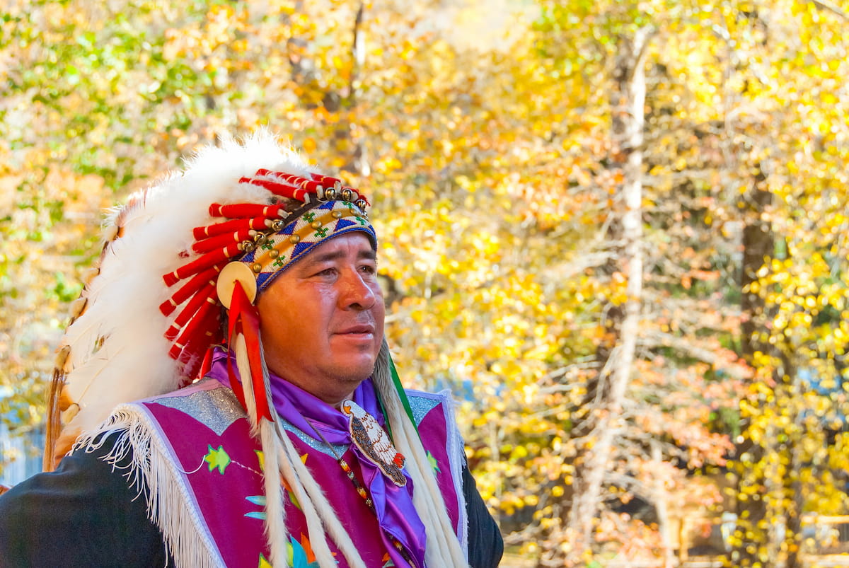
The region that is now Nantahala National Forest and the Tusquitee Ranger District has a long and storied history of human inhabitation. It is the ancestral homelands of many Indigenous peoples, most notably the Cherokee, whose traditional territory includes much of modern-day South Carolina, North Carolina, Georgia, Alabama, Kentucky, and Tennessee.
It’s believed that Hernando de Soto, a Spanish conquistador, made it as far inland as the Blue Ridge Mountains in what is now North Carolina during his 1540 expedition, which would make him the first European to have visited the area.
During the period of European colonization in the 18th century, the region was invariably settled by immigrants of European descent, many of whom established homesteads and farms in and around the Blue Ridge Mountains. This was particularly true in the aftermath of the French and Indian War, which saw a large influx of settlers throughout the region.
By the early 19th century, conflicts between European-American settlers and the Cherokee were increasing rapidly, ultimately culminating in the 1830 Indian Removal Act, which forcibly removed Indigenous peoples from the southeastern United States and marched them to Oklahoma.
Although most Indigenous peoples were forcibly removed from the region and relocated to Oklahoma, a small group of Cherokee were able to remain in the area. The Eastern Band of Cherokee Indians of the Qualla Boundary, which is just to the north of the Nantahala National Forest, are the descendants of this small group.
Nantahala National Forest, however, didn’t really start to materialize until the early 20th century. In 1911, President Wilson signed the Weeks Act into law, which allowed the US government to purchase land in the eastern United States for restoration purposes.
Some 5 years later in 1916, the newly formed US Forest Service acquired a number of major tracts of land in North Carolina, including a parcel that was known as the Biltmore Forest Tract. In 1920, the Nantahala National Forest was officially designated, though it originally included land that was also in Tennessee and Georgia.
Over the years, the Nantahala National Forest shifted and changed slightly in size until settling on the boundaries that exist today. Currently, the forest, which is the largest in North Carolina, is managed in conjunction with the state’s 3 other forests - Uwharrie, Croatan, and Pisgah.
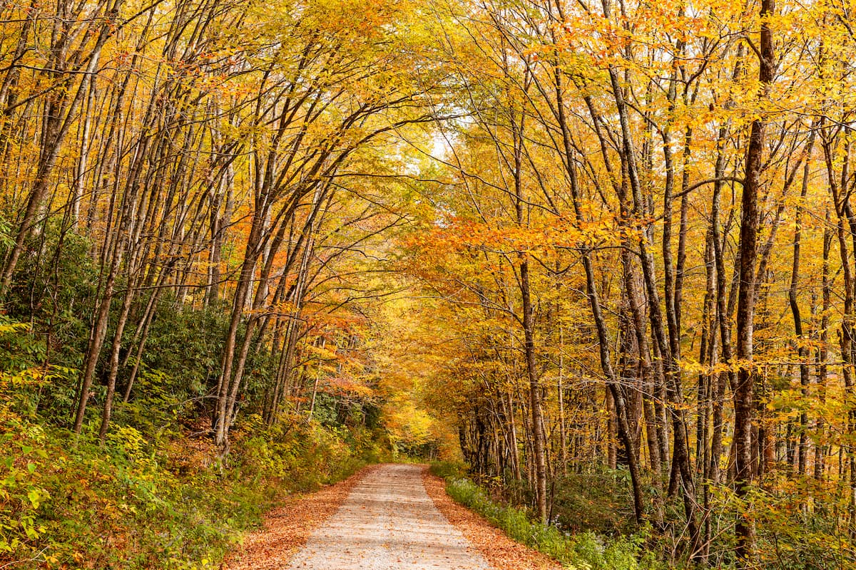
It remains a popular destination for outdoor recreation, thanks to its great hiking trails, campgrounds, and paddling opportunities.
As one of the largest areas of federally protected land in the region, the Nantahala National Forest is a major hiking and outdoor adventure destination. Here are some of the best places to check out in the Tusquitee Ranger District:
Straddling the North Carolina-Georgia border, the Southern Nantahala Wilderness is a federally protected area in the southern part of the Tusquitee Ranger District. The wilderness contains 30 named mountains, the highest and most prominent of which is Standing Indian.
Perhaps the best-known hiking trail in the Southern Nantahala Wilderness is the Appalachian Trail, which passes through the area on its way from Springer Mountain, Georgia to Mount Katahdin in Maine. Other popular trails in the wilderness include the Beech Gap Trail, the Big Indian Loop Trail, and the Lower Ridge Trail.
The Jackrabbit Mountain Recreation Area is located along the North Carolina/Georgia border on the shores of Chatuge Lake. It is home to a large campground and it offers plenty of water-based activities, such as fishing and kayaking.
Hiking is a particularly popular pastime at the Jackrabbit Mountain Recreation Area. There are a number of maintained trails, including Yotee’s Run, Sneaking Creek, Saba Beach, the Central Loop, and the Burnt Tree Peninsula Trail. Mountain biking is also allowed on most of the recreation area’s trails.
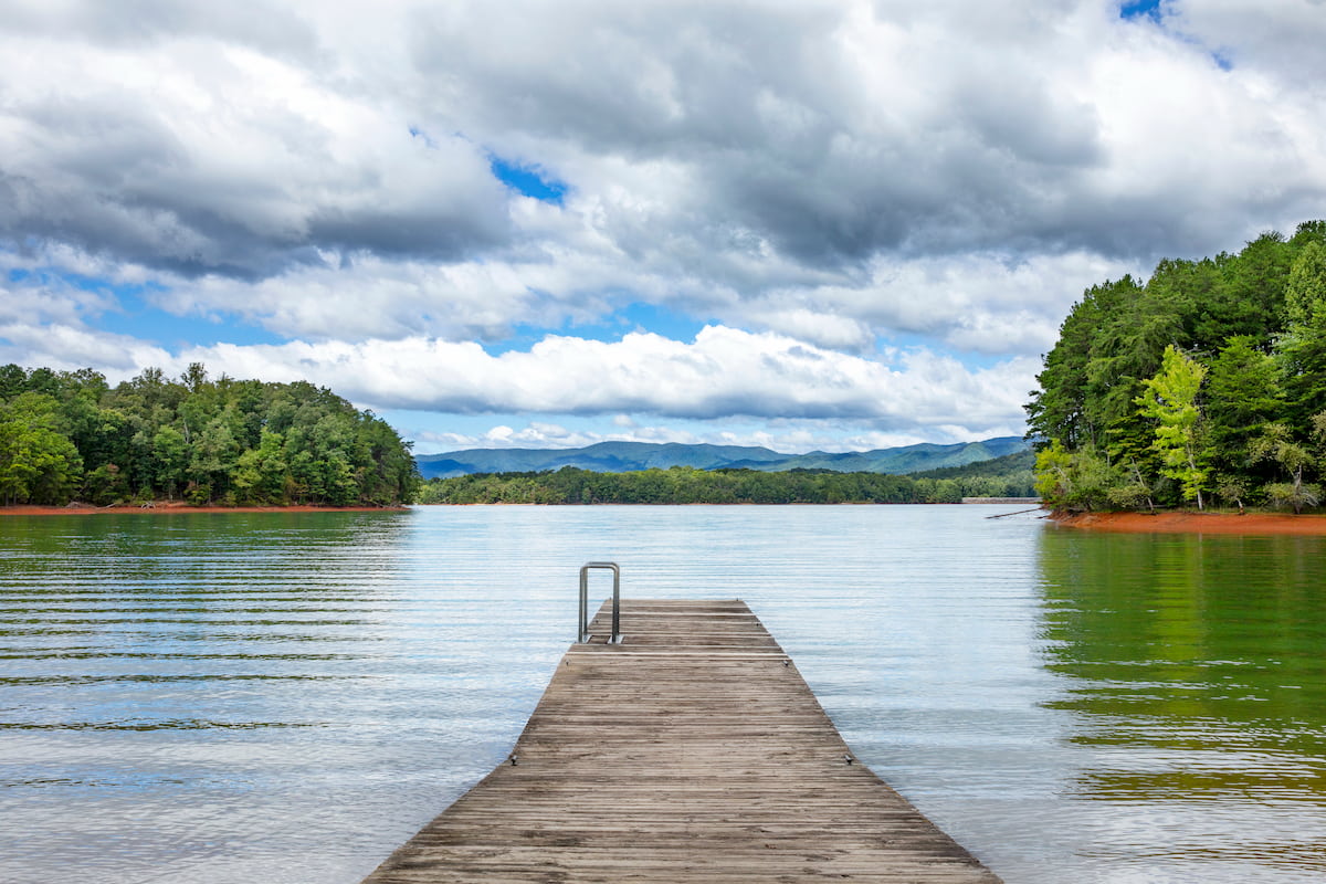
Situated in the central part of the Tusquitee Ranger District, the Hanging Dog Recreation Area near the town of Murphy is a family-friendly place to adventure. The recreation area is located along the shores of Hiwassee Lake, so it’s a nice place to go fishing or boating in the summer months.
In addition to watersports, the Hanging Dog Recreation Area has a number of great hiking trails, including the Nottely River Connector, the Farmer Top Overlook, and the trail to Ramsey Bluff.
The Fires Creek Recreation Area, which contains the Fires Creek Backcountry Area is a great destination within the Tusquitee Ranger District if you’re looking to get off the beaten path. It contains 17 named mountains, the highest and most prominent of which is Signal Bald.
This area is very popular amongst backpackers, many of whom hike the 25 mile (40.2km) long Rim Trail. For folks that want a bit of a shorter adventure, there are plenty of other trails to check out, including the trails to Big Stamp, Carroll Knob, Omphus Ridge, and Rockinghouse Creek.
Need a place to stay before or after your trip to the Nantahala National Forest’s Tusquitee Ranger District? Here are some of the best places to visit:
Located to the northeast of the Nantahala National Forest, the city of Asheville is home to around 90,000 residents, which makes it the largest urban area in western North Carolina.
Asheville is a popular starting point for outdoor adventures, due to its proximity to a number of major forests and parks, including Great Smoky Mountains National Park. It has a small regional airport as well as great highway access to major cities around the southeastern region of the United States.

The city of Chattanooga is situated to the west of Nantahala National Forest in the state of Tennessee. Chattanooga is a city of about 180,000 residents and it is often considered to be a gateway to the Deep South. It has a decently-sized municipal airport that offers excellent connections around the eastern United States.