Scan the QR code and open PeakVisor on your phone
Uwharrie National Forest is an outdoor recreation destination located in the central part of the US state of North Carolina. It marks the smallest national forest in North Carolina and is one of the most popular places for horseback riding in the state. The tallest peak in the national forest is King Mountain at 1,014 feet (309 m) tall, while the most prominent is Shingle Trap Mountain, which has 367 feet (112 m) of prominence.
Uwharrie National Forest lies near the central region of the US state of North Carolina. A majority of the forest lies within Montgomery County, with smaller portions being situated in Randolph and Davidson counties.
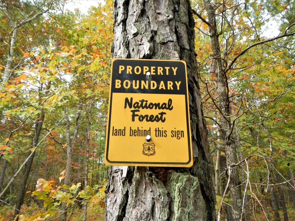
The forest spans 50,645 acres (20,495 ha) marking the smallest national forest in the state. Uwharrie National Forest is administratively combined with the other national forests in North Carolina, while the local ranger office for the forest lies in the town of Troy.
The Birkhead Mountain Wilderness marks the only wilderness area within the forest, covering 5,025 acres (2,034 ha) of terrain. Within the forest also lies the Uwharrie Game Land. This national forest is dominated by gentle rolling hills and ridgelines amidst the various waterways of the region.
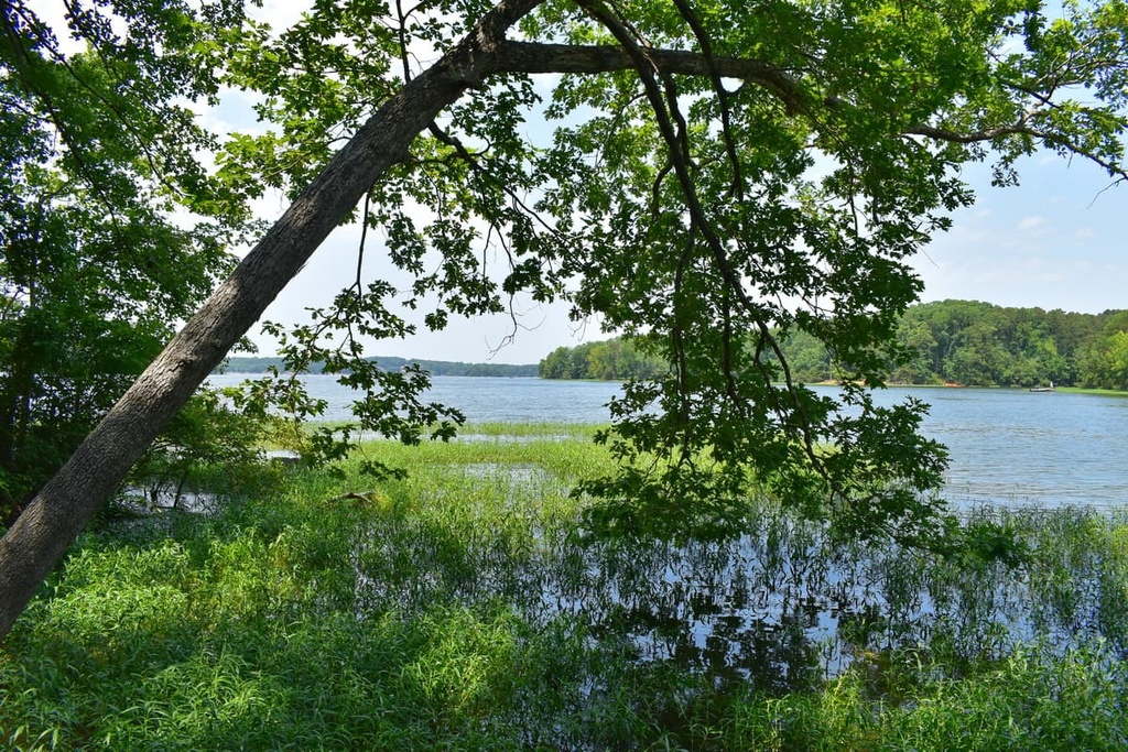
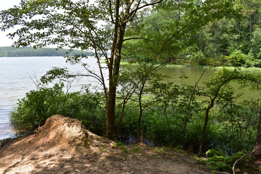
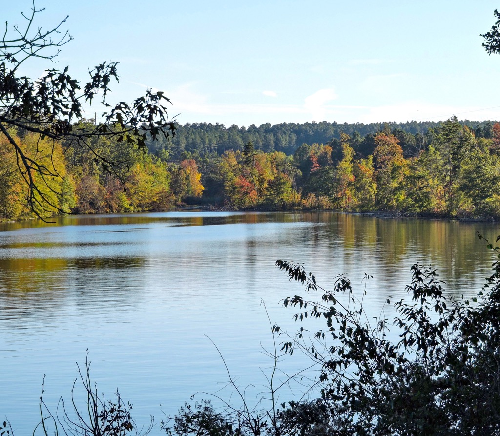
The Yadkin River flows along the western edge of the forest, forming High Rock Lake, Badin Lake, and Lake Tillery. The Uwharrie River cuts through the national forest, flowing in a north to south direction before joining with the Yadkin River and forming the Pee Dee River.
The northern boundary of the forest is marked by the northern stretches of the Uwharries Mountains. East of the national forest lies the town of Troy and the Little River. Numerous state and interstate highways cut through the forest, providing easy access to the region.
Additionally, Uwharrie National Forest is located near numerous other regions for outdoor recreation. The Sandhills Game Land is situated to the southeast while the New Hope Game Lands lie to the northeast, surrounding Jordan Lake. South of the forest lies the Pee Dee National Wildlife Refuge while further south, in the state of South Carolina, lies the Carolina Sandhills National Wildlife Refuge
The terrain in Uwharrie National Forest is dominated by the Uwharrie Mountains, after which the forest was named.
Originally formed as a coastal mountain range, the Uwharrie Mountains began forming 500 million years ago, making them the oldest mountains in all of North America. Accretion of the Gondwanan tectonic plate forced the coastal terrain upwards.
Geologists believe that at one point these mountains were nearly 20,000 feet (6,100 m) tall. Over the course of millions of years, the mountain range was slowly eroded to its current state with a maximum height of just over 1,100 feet (335 m).
The range, and the surrounding national forest, are situated on the North Carolina Piedmont. Both metamorphic and intrusive igneous rocks from the Proterozoic and Paleozoic eras are present.
Gold was discovered in the range during 1799, marking the first gold rush in the present-day US. The northern stretches of the forest are marked by the Caraway Mountains, a more rugged subrange of the Uwharrie Mountains.
Major peaks within Uwharrie National Forest include King Mountain, Shingle Trap Mountain, Buck Mountain, Dark Mountain, and Falls Mountain.
The forested landscape, coupled with the plethora of surrounding waterways, has allowed a variety of both flora and fauna to thrive in Uwharrie National Forest.
The entire forest lies within the Southeastern mixed forest ecoregion. Forested patches are dominated by common oak, white oak, black oak, and scarlet oak. Other common tree species include pignut hickory and mockernut hickory.
Hikers are likely to spot dogwood, sassafras, lowbush blueberry, huckleberry, and mountain laurel. Low growing grasses are common, especially near the waterways of the region.
The surrounding lakes and rivers help support populations of sunfish, catfish, shoal bass, beavers, and river otters, as well as snapping turtles. The red-cockaded woodpecker and mourning dove are common along with coyote and white-tailed deer.
The land in and surrounding Uwharrie National Forest is part of the ancestral homelands of the Lumbee, Cheraw, and Catawba peoples. These Tribes inhabited this region of land long before the arrival of European colonizers.
Descendants of these Tribes are part of the Lumbee Tribe of North Carolina, Sumter Tribe of Cheraw Indians, Florida Tribe of Cheraw Indians, and the Catawba Indian Nation.
For thousands of years these tribes lived harmoniously with the land, while a majority of their settlements were located near the waterways of the region.
The first people of European descent arrived in the region in the 1720s, exploring the Pee Dee River watershed. Over the following decades, the colonizers claimed that the Indigenous peoples of the region were illegally inhabiting the land.
As the Tribes fought to protect their ancestral lands, the US government worked to routinely remove them from the region. In an effort to control the land, the government harassed, attacked, and killed tribal members.
The first gold rush in the present-day US took place near the national forest. In 1799, a farmer found a large 17 pound (7.7 kilograms) yellow rock in Little Meadow Creek. It wasn’t until 1802 that the rock was identified as gold, eventually leading to the establishment of the Reed Gold Mine.
Mining activity was drastically decreased during the American Civil War with the last underground mining in the region occurring in 1912. Today, panning for gold amidst the rivers and streams in the region is a popular activity.
Members of the Lumbee Tribe fought during the American Revolutionary War, and were listed as “Free Persons of Color”. In 1831, amendments passed by the state legislature abolished suffrage for the free people of color in the state. All people of color, including members of the Lumbee Tribe, were subsequently stripped of their civil and political rights.
During the American Civil War, members of the Lumbee Tribe were forced to construct defenses while other members were able to hide out and avoid the forced labor. The Lowrie Gang, led by Henry Berry Lowrie, committed numerous robberies and murders against Confederate leaders in the region. Throughout the 1860s and 1870s the search for the Lowrie gang, led by local, state, and federal officials, became known as the Lowry War.
In 1885, the Lumbee Tribe gained state recognition as the “Croatan Indians”. Since 1888, the Lumbee people have fought to achieve full federal recognition. In 1956 the Lumbee Act was passed and recognized the tribe as Indian though they are still fighting to be a federally recognized tribe.
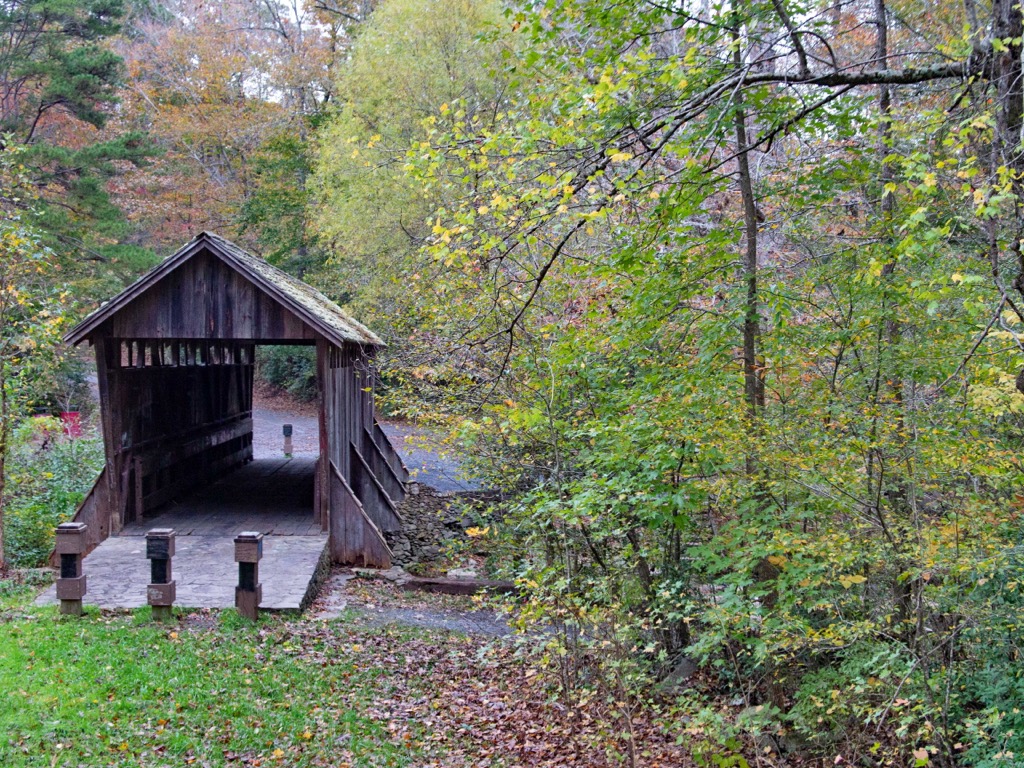
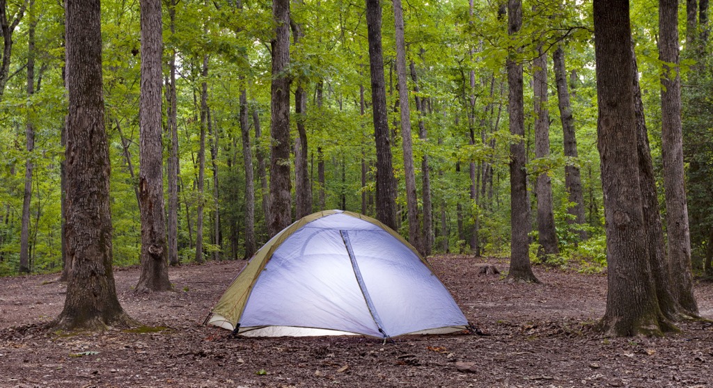
Land purchased by the US government in 1931, was designated as the Uwharrie Reservation. In 1961 the reservation was redesignated as Uwharrie National Forest. Today Uwharrie National Forest features opportunities for hiking, backpacking, mountain biking, trail running, horseback riding, hunting, fishing, and camping.
Uwharrie National Forest is home to numerous hiking trails and opportunities for outdoor recreation. Here are a few of the best hikes located within the national forest that are well worth checking out during your next visit.
The Uwharrie National Recreation Trail runs the length of the forest in a north to south direction. Hikers along the route travel through the numerous landscapes of the region; from forested foothills to sweeping ridgelines.
There are numerous viewpoints throughout this route as the trail climbs and descends amidst the low mountains. This route can also be used for backpacking and is often hiked from point to point. The trail is 25.3 miles (40.7 km) long and features 3,953 feet (1,205 m) of elevation gain.
True to its name, this loop trail winds through the forested landscape, passing along many creeks in the forest. This trail lies in the southern section of the national forest, just north of Highway 24.
With numerous small climbs and descends throughout, hikers wind through the hillsides of the Uwharrie Mountains. The loop can be used for hiking and backpacking, totaling 12.5 miles (20 km) in length and 1,645 feet (502 m) of elevation gain.
Located along the eastern shores of Badin Lake, this loop trail gently winds through the forested landscape, offering multiple viewpoints of the lake. A majority of the route is flat, with a small climb approximately halfway through the loop.
Along the route are numerous spots to have a picnic or go fishing. This loop trail is 5.3 miles (8.5 km) in length and features 311 feet (95 m) of elevation gain.
Looking for a place to stay near the Uwharrie National Forest? Here are some of the best cities and villages to check out in the region.
The city of Asheboro lies a short drive north of Uwharrie National Forest. Home to 25,000 residents, Asheboro marks the largest city in Randolph County. The North Carolina Zoo is located in the city, and boasts being one of the largest natural habitat zoos in the world.
The downtown streets are filled with historical buildings and places, including the Sunset Theater and Mount Shepherd Pottery Site. The Deep River lies just north of the city while Uwharrie River is to the west. The surrounding rivers and lakes provide opportunities for year round outdoor recreation.

The city of Greensboro lies just a thirty minute drive north of Asheboro. Home to roughly 300,000 residents, Greensboro marks the third most populous city in the state. Situated in the rolling hills of the North Carolina Piedmont, the city lies midway between the Blue Ridge Mountains of western North Carolina, and the Atlantic beaches along the coast of eastern North Carolina.
Numerous colleges and universities are dotted throughout the city along with a bustling arts and music scene. Popular attractions within Greensboro include the International Civil Rights Center and Museum, Greensboro Arboretum, Greensboro Science Center, and the Wet ‘n Wild Emerald Pointe water park.