Scan the QR code and open PeakVisor on your phone
The Cheoah Ranger District of the Nantahala National Forest is an outdoor recreation destination located within the US state of North Carolina. The district surrounds four mountain reservoirs and contains 66 named peaks. The tallest and most prominent peak in the ranger district is Huckleberry Knob at 5,564 ft (1,696 m) tall and with 3,406 ft (1,038 m) of prominence.
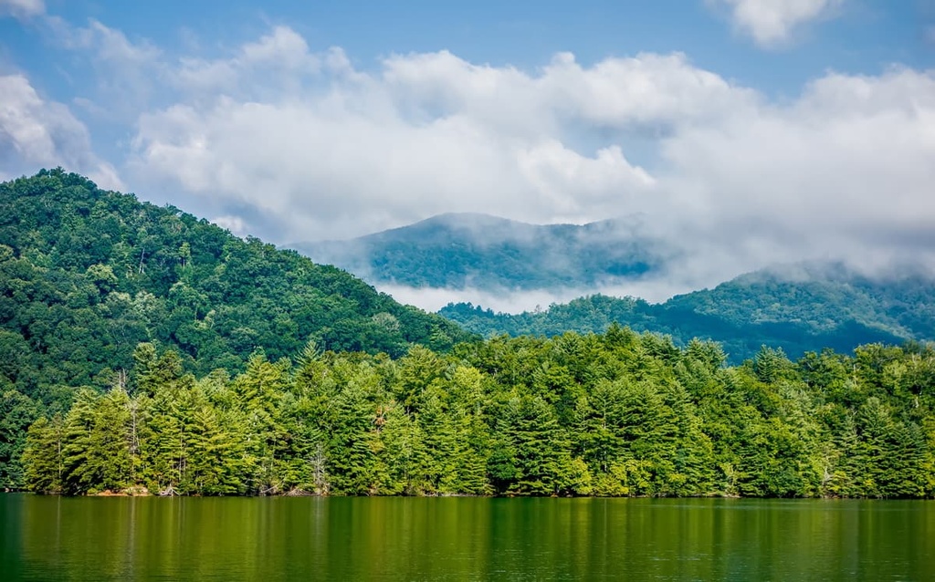
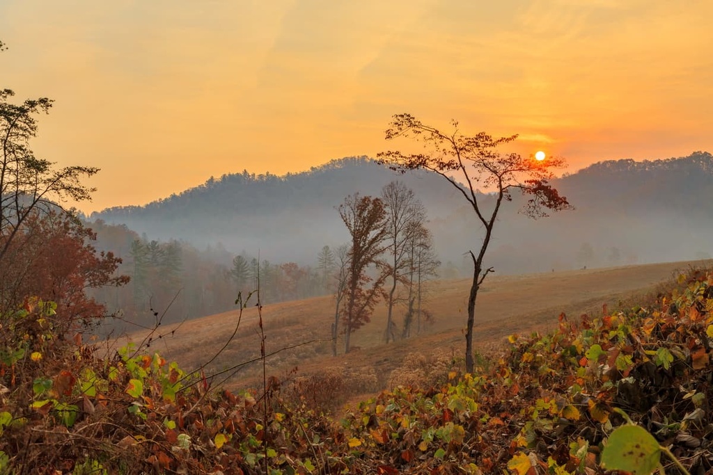
The Cheoah District of the Nantahala National Forest lies in the southwestern portion of the US state of North Carolina. The rolling hills and lush forests of the ranger district are part of one of the wettest regions in the continental US outside of the Pacific Northwest.
Nantahala National Forest is broken down into three ranger districts: Cheoah Ranger District, Nantahala Ranger District, and Tusquitee Ranger District. The Cheoah Ranger District is the smallest of the three, spanning 187 sq. miles (486 sq. km), with land in Graham and Swain counties.
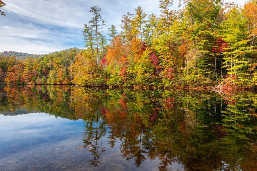
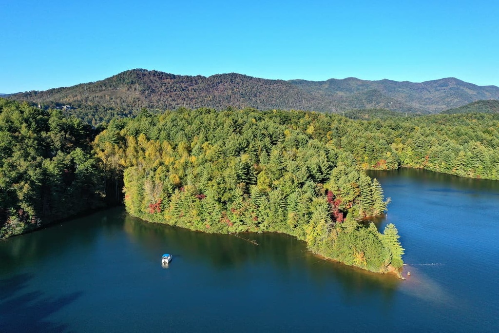
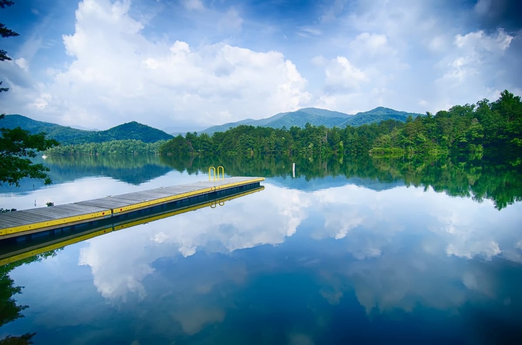
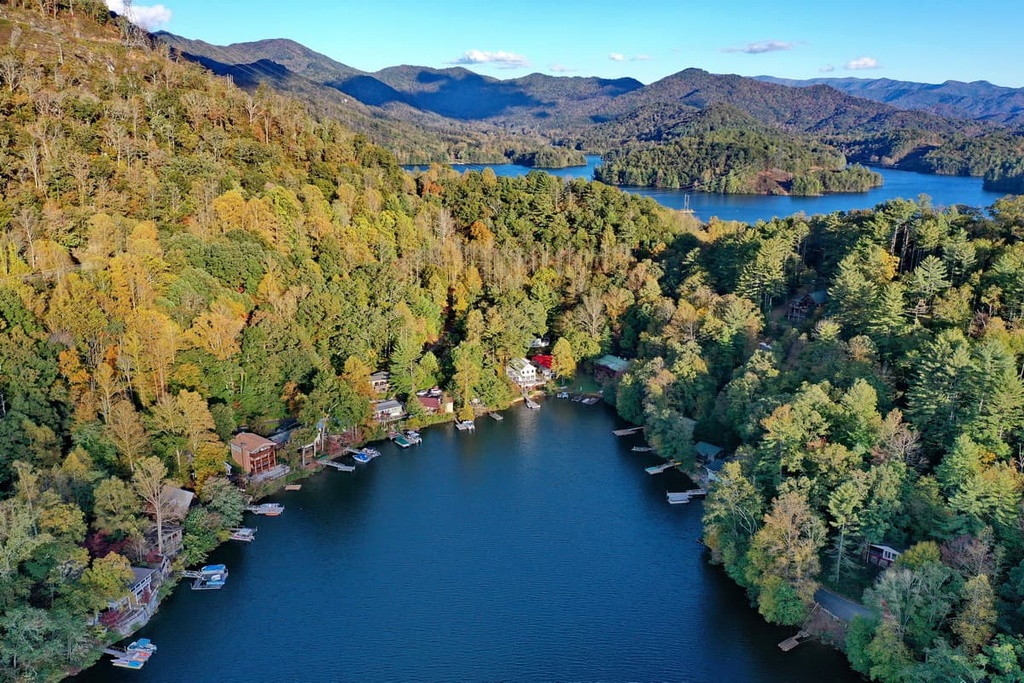
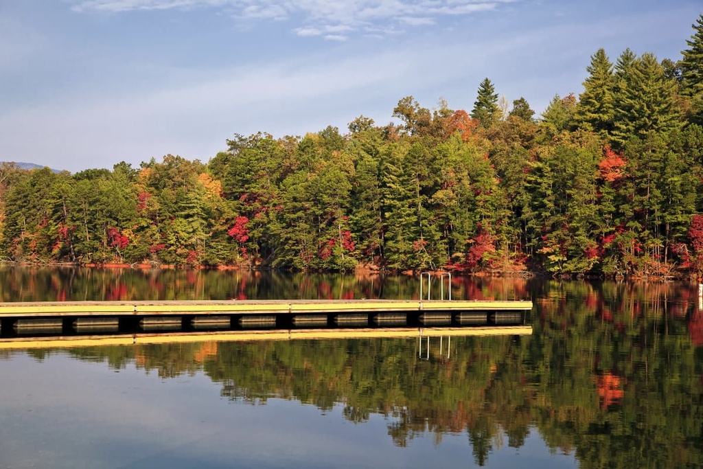
One of the main geographic features of the Cheoah District is the region’s four large mountain reservoirs. The surrounding landscape features mountains, densely forested hillsides, valleys, gorges, and a multitude of rivers and streams.
The peaks found throughout the forest are part of the Blue Ridge Mountains. These steep mountains and valleys are part of a subrange of the greater Appalachian Mountains. Meanwhile, the Little Tennessee River marks the northern boundary of the district.
Major waterways in the ranger district include the Cheoah River, Lake Santeetlah, Santeetlah Creek, Buffalo Creek, and Snowbird Creek. The Appalachian Trail passes through the district after traveling through the Nantahala Ranger District. The trail then travels north into Great Smoky Mountains National Park.
The Joyce Kilmer Memorial Forest lies within the district and encompasses 3,800 acres (1,530 ha) of terrain. The landscape in the memorial forest consists primarily of old growth forest, and it is one of the largest contiguous tracts of old-growth in the East Coast of the US. A portion of the Joyce Kilmer-Slickrock Wilderness also lies within the Cheoah District.
Additionally, the Cheoah Ranger District is surrounded by other popular outdoor recreation areas. The Tusquitee Ranger District lies directly south while the Nantahala Ranger District is situated to the southeast. Meanwhile Great Smoky Mountains National Park is also located directly to the north of the national forest and the Chattahoochee–Oconee National Forest lies to the south.
The peaks and ranges found within the ranger district and the rest of the national forest are part of the Blue Ridge Mountains, a subrange of the Appalachian Mountains. The entire Blue Ridge Mountain Range runs from the US state of Georgia northward to Maryland and Pennsylvania.
The various peaks and valleys of the Blue Ridge Mountains are part of a larger geologic province of the same name. As a whole, the region also features distinct landforms and unique rock structures. Both metamorphic and igneous rock are found throughout the range.
The oldest rocks in the range date back to the Precambrian through to the Paleozoic. Mountains began forming in the region around 1 billion to 250 million years ago and were slowly thrust upwards during the Grenville and Alleghenian orogenies.
With rock formations dating back hundreds of millions of years, the Blue Ridge Mountains are far older than ranges such as the Alps or Himalaya, both of which were formed around 65 million years ago during the Alpine orogeny.
The peaks in the district that are visible today have been heavily eroded over the course of millions of years by the many waterways of the region. The Blue Ridge Mountains, including the peaks surrounding the district, are rich in minerals such as amethysts, mica, rubies, sapphires, and emeralds.
Major peaks within the Cheoah District include Huckleberry Knob, Cheoah Bald, Teyahalee Bald, Wauchecha Bald, and Stratton Bald.
The Cheoah District is part of the larger Blue Ridge ecoregion, which encompasses the entire forest. Flora and fauna in the national forest are similar to that which is found throughout western North Carolina.
The tallest peaks and ridges in the ranger district are forested primarily by spruce and fir trees. Mid-elevations in the district feature northern hardwoods while the lower elevations contain populations of shortleaf pine, oak, chestnut, hickory, and heath trees.
These dense forests provide protection for a wide range of fauna. Commonly spotted large mammals in the ranger district include white-tailed deer, porcupines, coyotes, bobcats, and black bears. The various waterways in the area are also home to river otters and beavers.
In fact, the relatively large number of river otters in the region is what gave the ranger district and the nearby river their names. ‘Cheoah’ is an anglicized version of the Cherokee word cheeowha, which translates to ‘otter.’
The land within the Cheoah Ranger District and the entire Nantahala National Forest are part of the ancestral homelands of the Cherokee people. Evidence of people of the Paleo-Indian culture in the region date back at least 8,000 years.
Additionally, the state of North Carolina is part of the traditional territory of the Cherokee Nation and the Eastern Band of Cherokee Indians, as are parts of present day Tennessee and Georgia. For thousands of years, the Cherokee lived primarily as hunter gatherers in the region.
The Spaniard Hernando de Soto is believed to have been one of the first Europeans to visit the region that is now known as the southeastern US in 1540. As settlers began to move into the region, the Cherokee began forming treaties and trade agreements with the Irish, English, and Scottish immigrants
During the 1700s, the Cherokee formed an organized and unified national government. Gold was discovered not long afterward during the early 1800s in present-day Georgia, leading to a drastic influx in the number of settlers in the region.
As the Cherokee people fought to protect and live on their homelands, the US government continually attacked, killed, and forcibly removed them. Throughout the following decades, the US government tried to force the Cherokee to sign over their land via the Treaty of Echota.
The treaty was never signed by the Cherokee Nation, yet the US government still forced the Cherokee to leave their land and move to Arkansas and Oklahoma along a route that would later be referred to as the Trail of Tears. Around 16,000 Cherokee people began the long journey with over a quarter of them dying along the way.
In 1891, the Forest Reserve Act was passed, which allowed the President of the United States to set aside designated land as forest reserves. The US Forest Service was established shortly afterward in 1905.
Nantahala National Forest was established in 1920 when then President Woodrow Wilson authorized the US Government to purchase land in the region. The region was further expanded and remapped in 1929 and 1936.
The Cheoah Ranger District is home to 320 miles (515 km) of hiking trails. Here are some of the most popular trails in the ranger district to check out during your next visit.
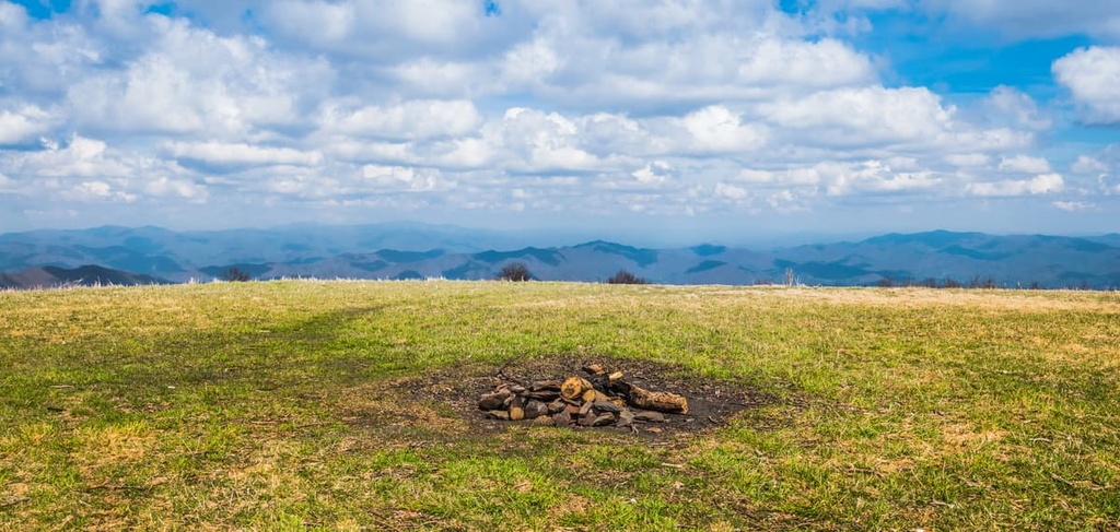
The Huckleberry Knob Trail takes hikers to the summit of the tallest peak in the district. This route climbs through the forest before reaching the summit of Huckleberry Knob.
Once at the peak, hikers can arrive at a sweeping meadow that offers panoramic views of the Blue Ridge Mountains. The trail is 2.5 miles (4 km) long round-trip and it has 331 ft (101 m) of elevation gain.
The Tsali Mouse Branch Loop Trail is situated on Fontana Lake at the northern edge of the Cheoah Ranger District. In total, the trail is 8.2 miles (13 km) long and it has 833 ft (254 m) of elevation gain.
This loop trail offers numerous viewpoints of the islands within Fontana Lake. This portion of the Little Tennessee River features steep forested hillsides and excellent vistas.
The trail to the summit of Cheoah Bald follows the Appalachian Trail, which passes through the Cheoah Ranger District. The route is 11.2 miles (18 km) long and it has 3,211 ft (979 m) of elevation gain.
As it is the second most prominent peak in the ranger district, views from atop Cheoah Bald showcase the steep ridges and valleys of the region. The trail can be hiked throughout the year, though it is most popular during the autumn due to the beauty of the fall foliage.
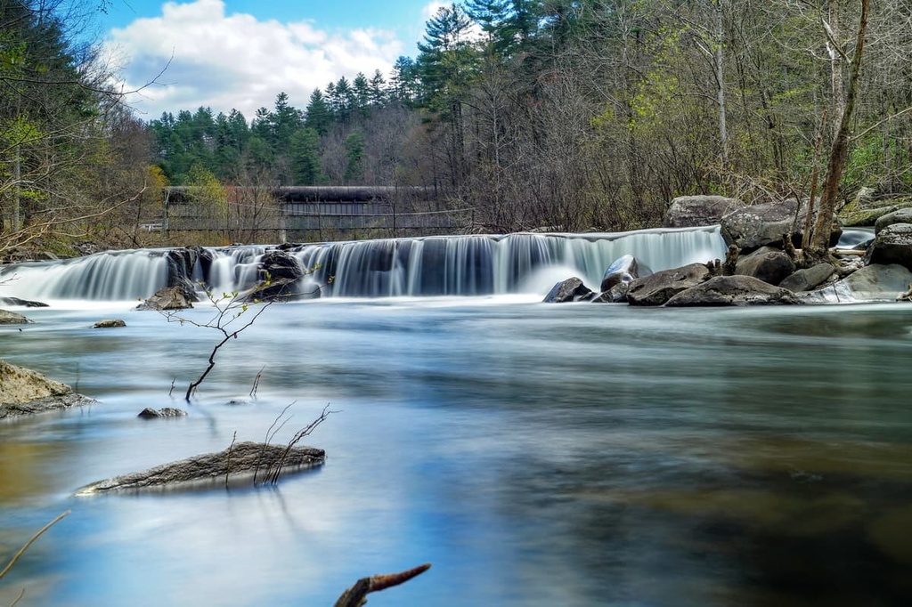
Yellow Creek Falls is a shorter hike within the district. The trail is 0.6 miles (1 km) long round-trip and it has just 180 ft (55 m) of elevation gain.
From the viewpoint over Yellow Creek, hikers can see the multi-tier falls cascading down a rocky face. After reaching the pool at the bottom of the falls, Yellow Creek then flows into the mighty Cheoah River.
Looking for a place to stay near the Cheoah Ranger District? Here are some of the best cities and villages to check out in the region:
The small town of Robbinsville lies in the center of the Cheoah District. The town is home to around 620 people, and it is located within Graham County. Though small in size, Robbinsville is an ideal location for trips into Nantahala National Forest and Great Smoky Mountains National Park.
The quiet and quaint downtown features a few local restaurants and historical sites while the forested hillsides extend in all directions. Each year, the town also hosts a July Heritage Festival and a Ramp Festival.
Asheville is the closest major city to the district as it is located about an hour and half’s drive to the east. The city lies at the confluence of the French Board and Swannanoa rivers and is home to around 91,000 residents. As the most populous city in western North Carolina, Asheville is also a cultural and economic hub for the region.
Since it is surrounded by the Blue Ridge Mountains, Asheville has long been known for its plethora of outdoor activities. The city is also known for having more breweries per capita than nearly any other city in the country.
The nearby mountains around Asheville provide hundreds of miles of trails for hiking, trail running, and mountain biking. The various waterways of the region provide the opportunity for paddle boarding and world-class whitewater rafting. Downtown Asheville is also home to the Biltmore Estate and the River Arts District.