
Scan the QR code and open PeakVisor on your phone
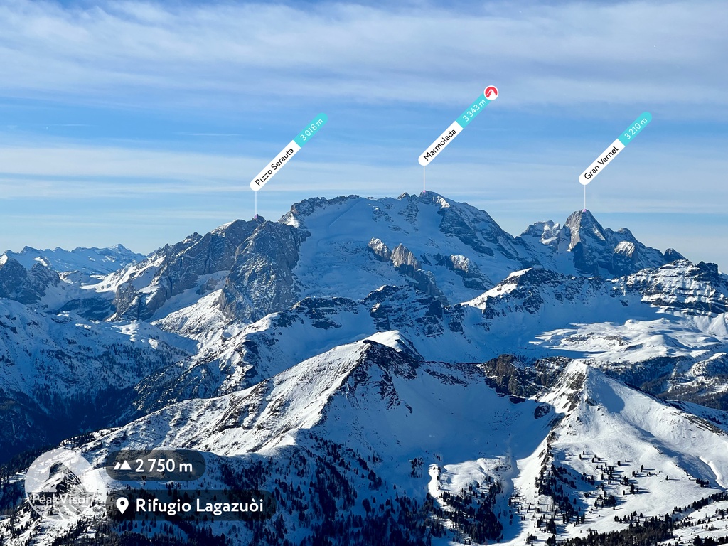
Belluno is home to 1,535 named mountains. The highest is Marmolada at 3,343 m.
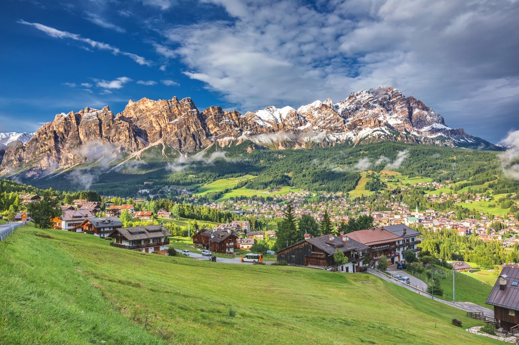
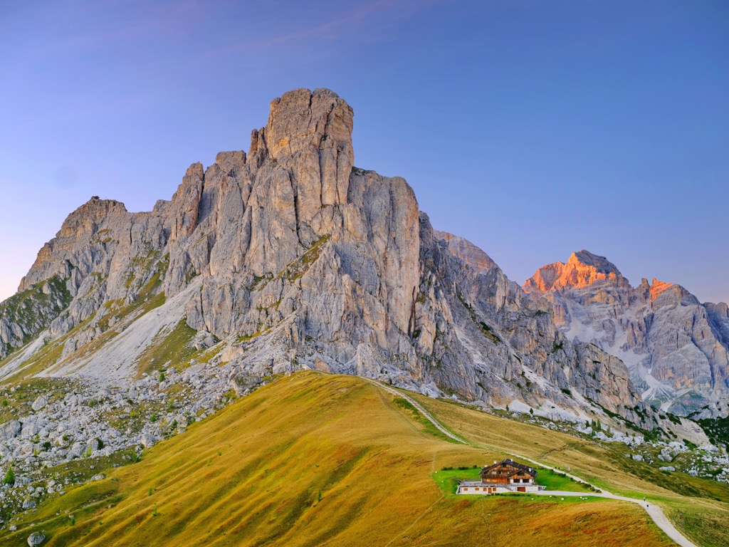
Belluno is the largest and most mountainous province in the Veneto region of northern Italy. The main feature of the Belluno mountains is the Dolomites mountain range of the Alps, which is a UNESCO World Heritage Site. In 2026, in these very mountains the province together with Milan in Lombardy will host the Winter Olympics Games for the second time. But it is not the only range. The are also the Fiemme Mountains, the Venetian Prealps and the Carnic and Gailtal Alps with their unique features. In total there are 1535 named mountains in Belluno. The highest and most prominent mountain is Marmolada (3,343 m / 10,967 ft).
The name of the province comes from that of the city of Belluno, its capital.
According to local history, “Belluno” is a word of Celtic origin, where "bel" means “brilliant” ("bello" also means ‘beautiful’ in Italian) and "luno" is modified "dunum", which means "fortified center." So, Belluno is "the brilliant or sparkling city."
The name in English and other languages does not change, but in Venetian language, separate from Italian, the name is shorter—Belun.
Belluno is the largest (3,610 sq km / 1,390 sq mi) province of the Veneto region, which in turn is one of the 25 in Italy.
The province is located in the north of the region and is bordered by the district of Lienz in the state of Tyrol in Austria to the north; by the provinces of Bolzano / South Tyrol and Trentino in the Trentino-Alto Adige / Südtirol region to the west; by the provinces of Udine and Pordenone in the Friuli Venezia Giulia region to the east; and by the provinces of Vicenza and Treviso to the south. Apart from Tyrol, all provinces are also in Italy.
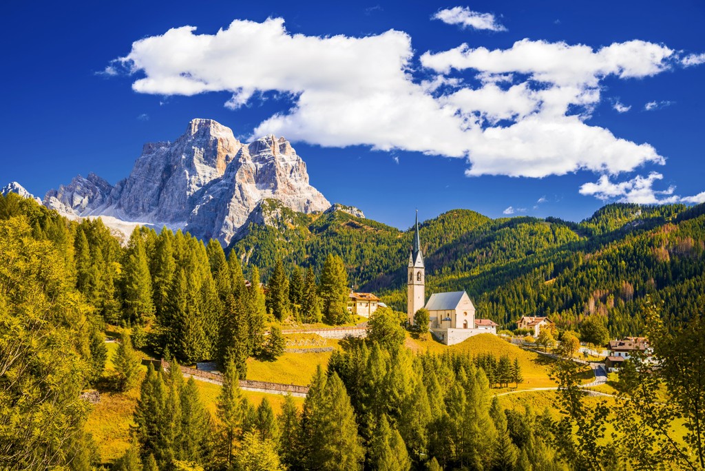
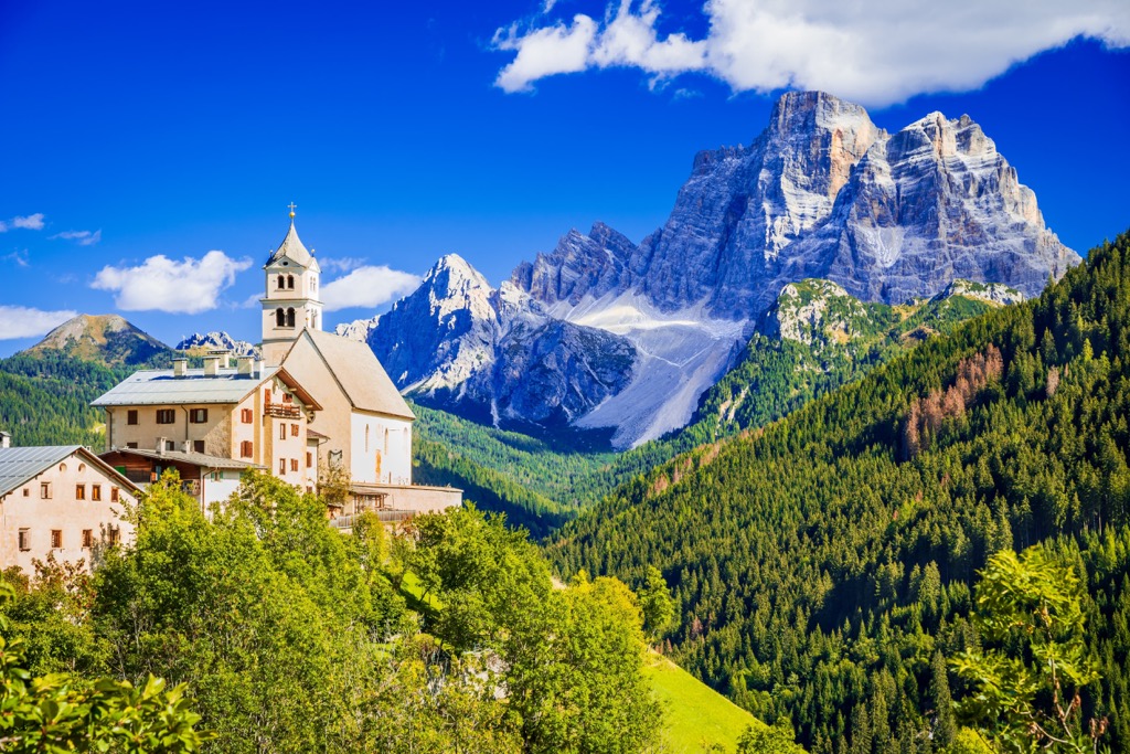
Inside the Belluno province is not monotonous. On the contrary, it consists of nine historical and natural regions, namely Feltrino, Alpago, Zoldo, Agordino, Cadore, Comelico, Fodom, Ampezzano, and Valbelluna.
Finally here, the province of Belluno almost corresponds to the geographical region of the East Dolomites, one of the two main parts of this mountain range on par with the West Dolomites, which it also includes partly in the south and west.
The easiest and fastest way to get to the provincial capital of Belluno is from Treviso and Venice (107 km / 66 mi, 1:16 hours) from the south and from Lienz to Cortina d’Ampezzo (79 km / 49 mi, 1:20 hours), the second, northern capital of the province. In both cases, the times are for travel by car.
By public transport from Venice to Belluno, there are Trenitalia.com and Dolomitibus.it. There is also a separate shuttle bus Cortinaexpress.it. The regional government also has a plan to revive the railroad to Cortina d'Ampezzo this decade. For buses in Tyrol, check Vvt.at (Tyrol Transportation Authority, Verkehrsverbund Tirol).
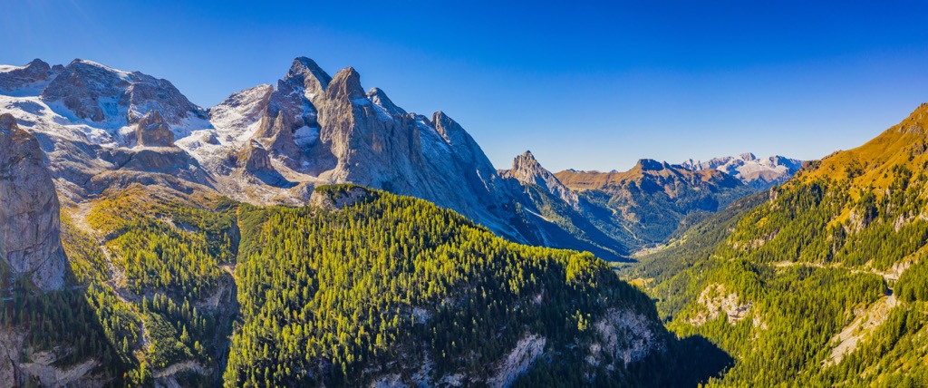
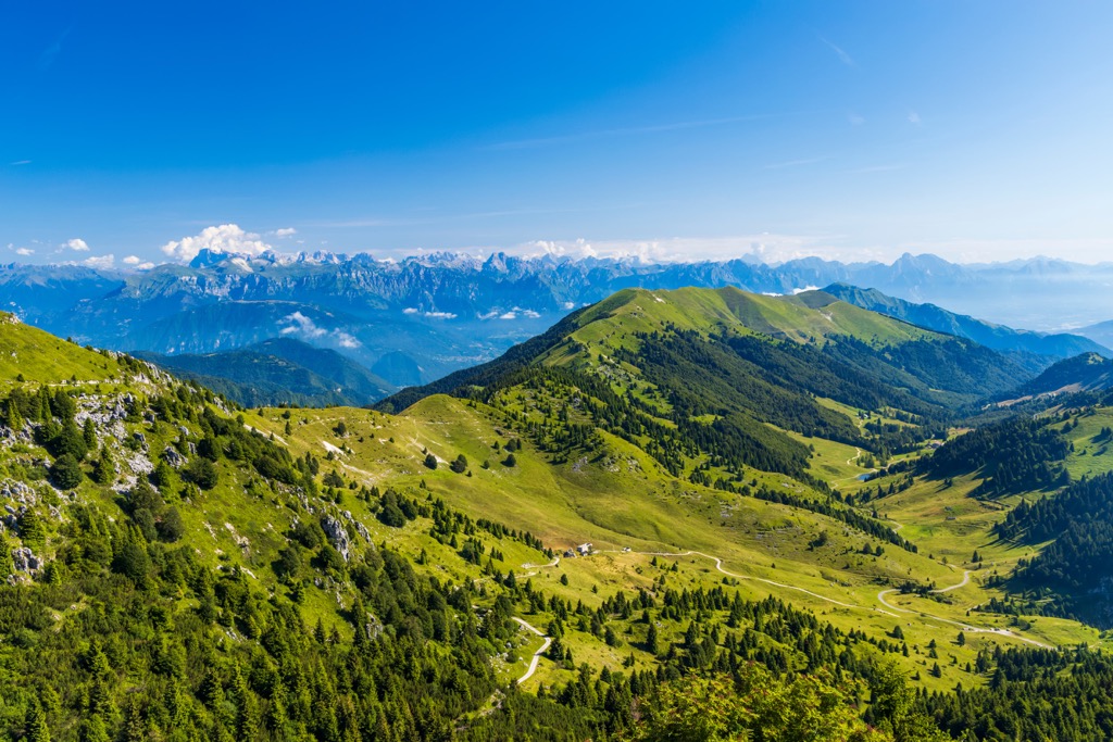
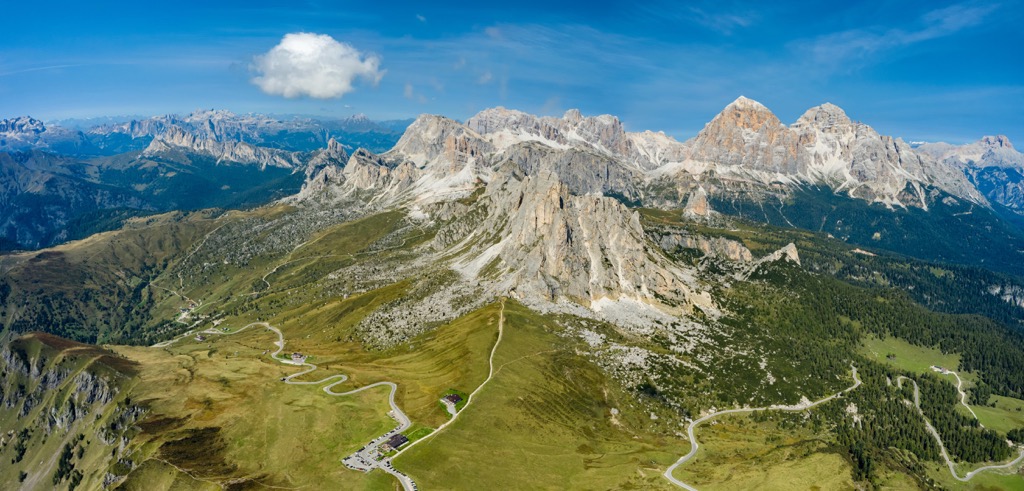
As has already become clear, the main feature of the Belluno province landscape is the mountains. It is almost entirely covered by mountains of the four aforementioned large mountain ranges.
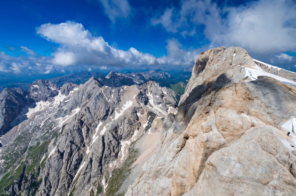
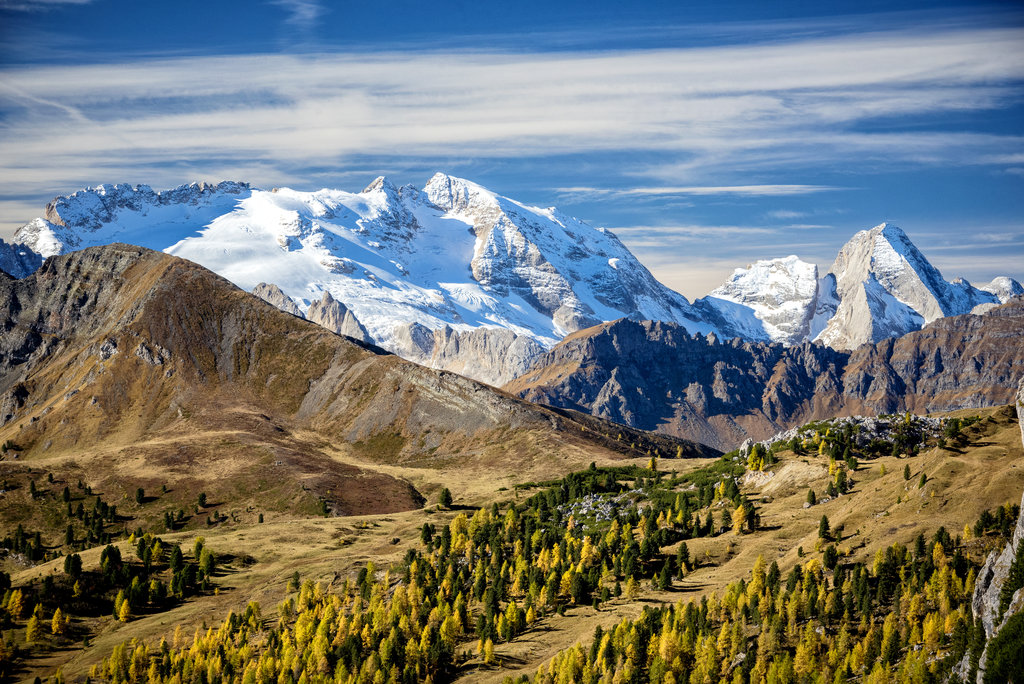
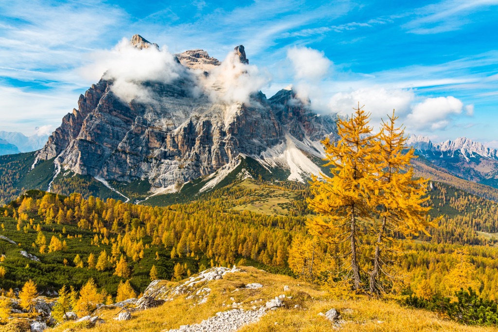
Their high is from a few hundred meters (feet) as the lowest Cer (460 m / 1,509 ft ) on Corlo Lake near the town of Arsie in Feltrino subregion to almost three and a half thousand meters (feet) as Marmolada (3,343 m / 10,967 ft), which is also the highest of all the Dolomites. Between these extreme elevations, there are many peaks above 1,000 m (3,280 ft) and above 2,000 m (6,561 ft), so these are also the mountains with a high average altitude. But we will talk more about them below.
The most important passes of the province, Pordoi, Giau, Valparola, Falzarego, Fedai, Valles, and some others, are already very well known outside the Belluno and Italy.
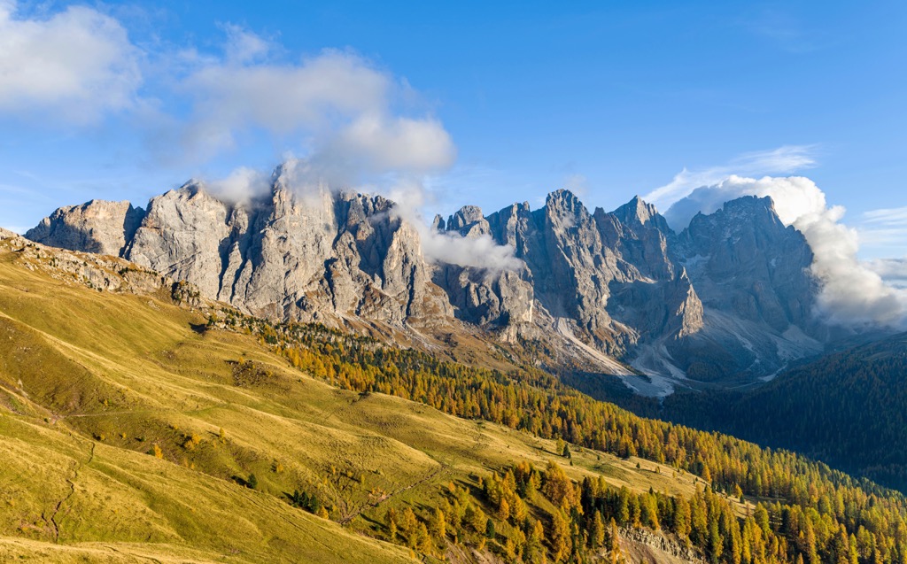
The province's mountains are also almost entirely covered by dense spruce and mixed forests with the rarer pines that stop growing above 2,000 m (6,561 ft), where only the cliffs remain. Belluno also has relatively few very large mountain pastures like the Alpe di Siusi in neighboring South Tyrol. (However, it is not for nothing that it is the largest in Europe.) At the same time, it has unusual high plateaus like Lamon (600 m / 1,968 ft) west of the same town of Feltre.
The province is also akin to Tyrol in the vineyards in the valleys and on the hills, but there are considerably fewer, apart from the Prosecco Hills, which begin just at the southern borders and belong to the neighboring province of Treviso.
The two widest and longest valleys of Bellino are Valbelluna, to the south, which separates the Dolomites from the Venetian Prealps, and Val di Cadore, which serves as a border from the Carnic and Gailtal Alps.
There are also many smaller valleys in the province, whose names coincide with the aforementioned historical regions and their often namesake capitals: Val di Zoldo, Val di Ampezzo, and others, or natural sites like Val Cismon, named after one of the rivers.
The third main feature of Belluno is the Piave, the largest river in the east of northern Italy. It begins on the northern borders of the province in Monte Peralba (2,694 m / 8,838 ft) in the Carnic and Gailtal Alps in the Valle di Sappada municipality of the province of Udine and flows for 220 km (137 mi) until it reaches the Adriatic Sea near the village Cortellazzo in the municipality of Jesolo in the province of Venice.
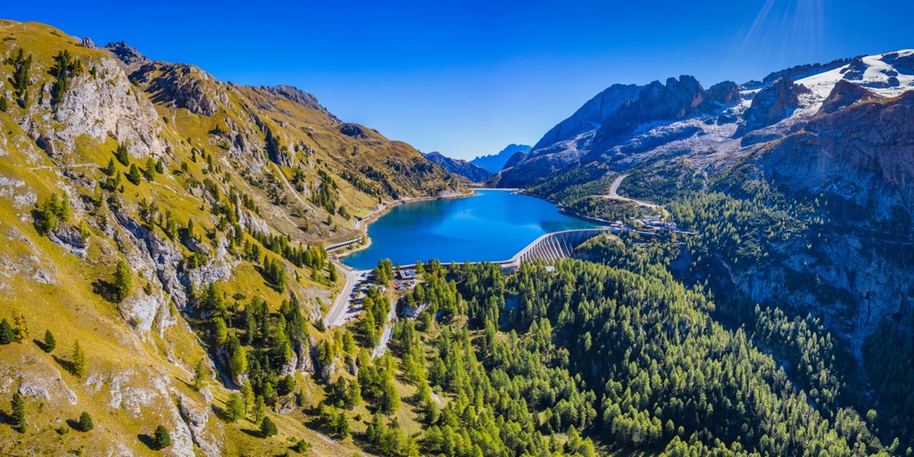
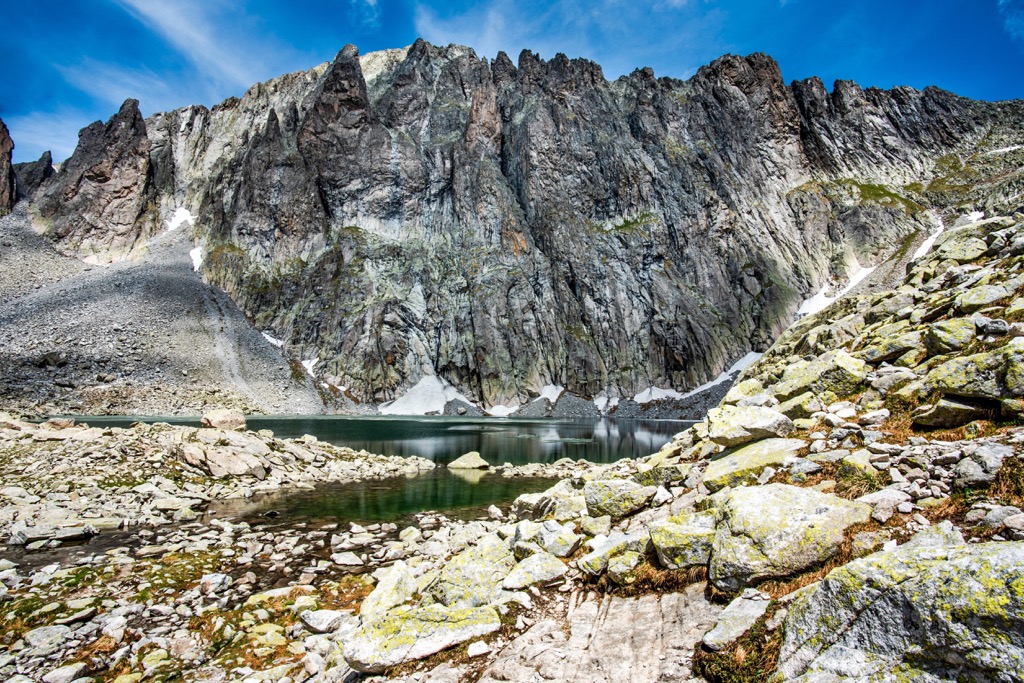
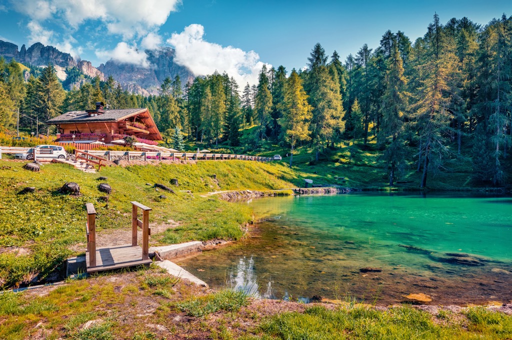
Belluno also has large lakes: Senaiga, Santa Croce, Alleghe, Cadore, and the world-famous Braies Lake right behind its northern borders.
The mountains in the Belluno province belong to three large mountain ranges: the Dolomites, the Venetian Prealps, and the Carnic and Gailtal Alps in accordance with the SOIUSA, the Italian classification of the Alps, the most common in Europe, where all three mountain ranges belong to the Southeastern Alps in the Eastern Alps.
The classification of the Eastern Alps of the German-Austrian Alpine Club (AVE) divides the Belluno mountains slightly differently:
It also includes a fourth large range, the Fiemme Mountains or the Fleimstal Alps in German (53), which is part of the Dolomites in the SOIUSA under the name Dolomiti di Fiemme.
But all these ranges belong to the Southern Limestone Alps, one of the four parts of the Eastern Alps according to the AVE.
Combining the two classifications, we get the following separate major mountain groups within each of the three ranges, which are located in whole or in part within the province of Belluno, including their highest and the most prominent peaks (or one if it leads in both categories), which are often also the most famous for each of them. Important: In the list below some of them are located in Belluno and some in neighboring regions, meaning that they are not always the highest peaks of the group within the province.
In any case, follow the links to learn more about each of the groups and the other major peaks:
Belluno is home to 1 mountain group belonging to the Fiemme Mountains:
Southern Fiemme Mountains
Belluno is home to 17 out of 25 mountain groups belonging to the Dolomites (from south to north):
Belluno is home to 4 mountain groups belonging to Venetian Prealps:
Belluno Prealps (Prealpi Bellunesi)
Belluno is home to 3 mountain groups belonging to the Carnic and Gailtal Alps:
Carnic Alps or Carnic Main Crest
Carnic Prealps or Southern Carnic Alps
Gailtal Alps
It is always difficult to use the word "best" in Italy no matter what we're talking about. But not in the case of the province of Belluno, which is undoubtedly the best hiking area in the entire Veneto region with many hiking routes, as well as individual long hiking trails throughout the province. Here is a list of them and a brief description of their main features:
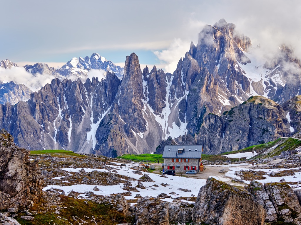
There is one national park available for hiking in Belluno, the Belluno Dolomites National Park (Parco Nazionale delle Dolomiti Bellunesi), whose area roughly coincides with the Cimonega and Schiara groups. The park is characterized by a great variety of flora and fauna as well as landscapes such as glacial cirques and moraines, and high altitude plateaus. Its convenient location between the towns of Feltre and Belluno, just three hours from Veneto, makes it very easily accessible.
In addition, the province is also home to two small nature reserves formed to protect old-growth spruce forests, namely the Tovanella Valley National Reserve (Riserva Statale Val Tovanella) next to the above-mentioned national park, and the Somadida National Reserve (Riserva Statale Somadida) next to the Marmarole Group further north in the Dolomites.
Finally, on the borders of the province you will also find six nature parks:
The main long hiking trails in the Belluno province are all six Alta Via or the High Altitude Ways, including the two most popular, Alta Via 1 and Alta Via 2. The latter runs partially through the province. Read more about them in the general guide to the Dolomites.
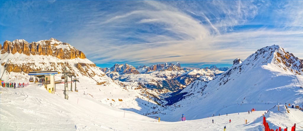
Being located in the Dolomites, the province of Belluno is also one of the best in Italy for skiing. What also sets it apart from the rest is that among its 11 main resorts you will find huge and popular ones of the Dolomiti Superski system such as Cortina d'Ampezzo and Civetta, as well as medium and small ones that only the locals know about such as Lagorai or Croce d’Aune–Monte Avena. Here they are:
Learn more about these and other ski resorts in the Veneto region and in Italy in general in the World Mountain Lifts, including open and closed ski lifts and slopes, as well as cable cars.
Before or after the hike, visit one of the official tourist centers of the province of Belluno, which are located in almost every town, including the two capitals, Belluno and Cortina d'Ampezzo:
Cultural Center “Piero Rossi”
Piazza Piloni, 32100, Belluno (BL), Italy
+39043727030
centroculturale@dolomitipark.it
Info Point Cortina (Ufficio Informazioni Turistiche)
Corso Italia, 81, 32043 Cortina d'Ampezzo, BL, Italy
+390436869086
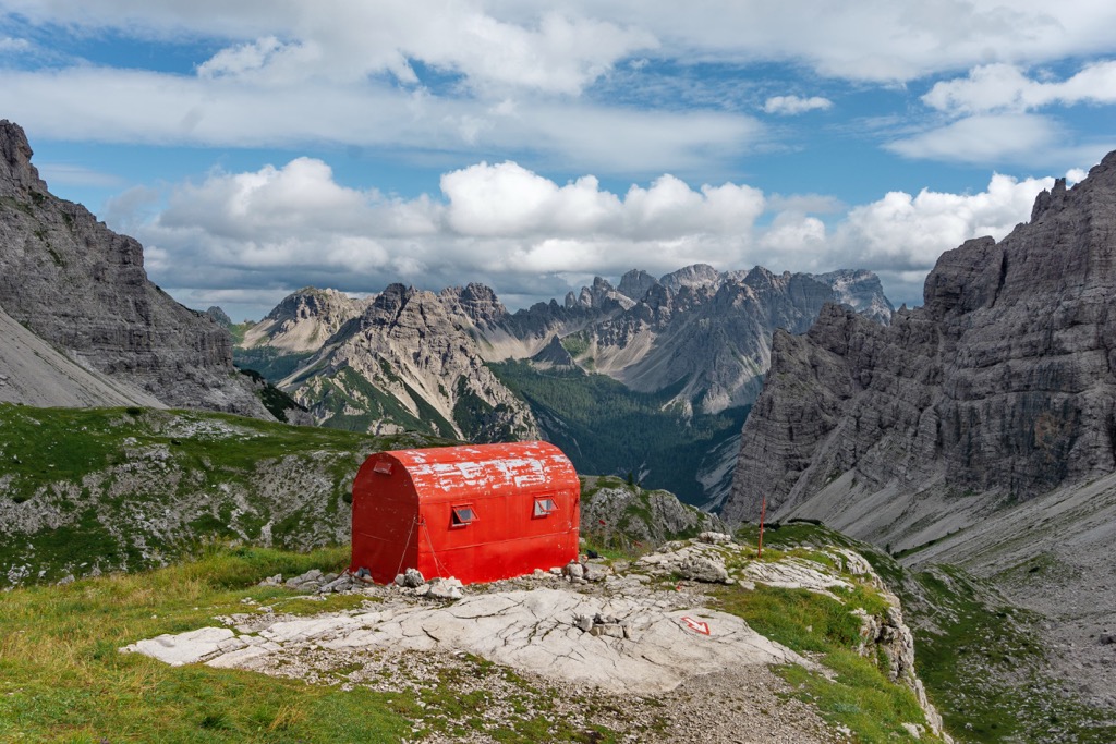
The main accommodation options while hiking and doing other outdoor activities in the mountains of the province of Belluno are mountain huts (refugio), free alpine shelters (bivacco) and campgrounds, including setting up your tent there or anywhere else if the night catches you on the way (this is legal, otherwise not).
Before and after the hike you can also easily find lodging in almost any town or village. Usually these are rooms and apartments, B&Bs, mountain cottages and the like.
Read more about specific places to sleep in the guides on individual mountain groups in the province of Belluno.
Belluno is the largest by territory of the seven provinces of the Veneto region, but it is also the most sparsely populated due to its mountainous landscape, in which, historically, far fewer people seek permanent residence than in the plains or on the sea. Thus the province has only over 200,000 inhabitants compared to over 800,000 in Verona, Venice, Vicenza, Treviso, and Padua—each, not the sum. (In all, almost 5,000,000 people live in Veneto.)
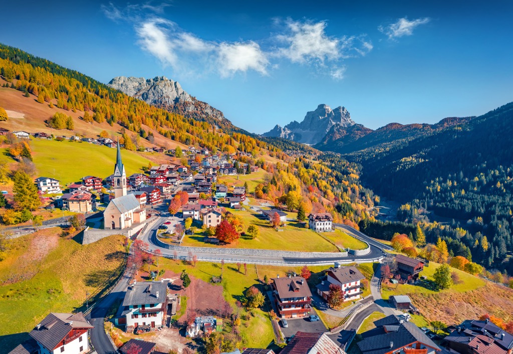
The nine largest cities within the province by population after the capital Belluno (35,000+) are Feltre (20,000+), Borgo Valbelluna, Sedico, Ponte nelle Alpi, Alpago, Santa Giustina, Cortina d'Ampezzo, Limana, and Longarone (5,000+).
When looking for resorts, use the following rule: They are usually located on natural sites such as lakes, plateaus, valleys and mountain passes. Also: The smaller the town, the more likely it is to be a comfortable place to vacation in nature. Although, nature is absolutely everywhere in the province.
As an example of such a mountain resort, I would once again mention my hometown of Lamon, located on a unique scenic plateau with the best views of the Passo Croce d'Aune and Mount Avena (1,454 m / 4,770 ft) in the Dolomiti Bellunesi National Park, which in 2019 hosted the decisive 20th mountain stage of the main Italian bicycle race Giro d'Italia.


Yes. Belluno has 1,535 named mountains. The highest is Marmolada at 3,343 m.
The highest mountain in Belluno is Marmolada, at 3,343 m.
Belluno has 1,535 named mountains.


