Get PeakVisor App
Sign In
Search by GPS coordinates
- Latitude
- ° ' ''
- Longitude
- ° ' ''
- Units of Length

Yes
Cancel
❤ Wishlist ×
Choose
Delete
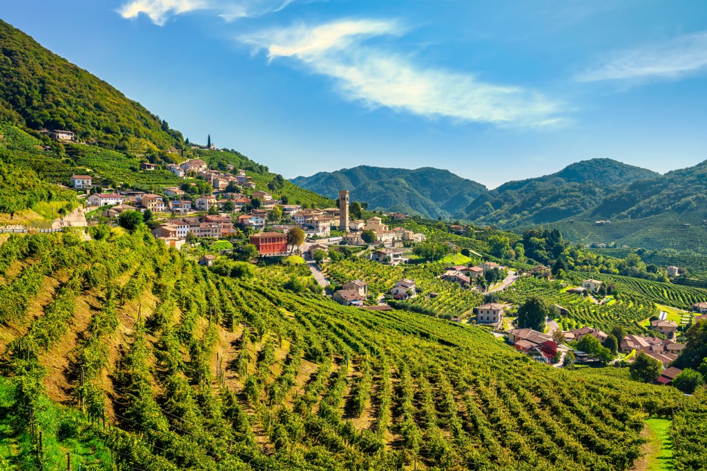
Treviso is one of the seven provinces of the Veneto region in northern Italy. The main feature of Treviso mountains, which belongs to the Venetian Prealps, is Prosecco Hills of Valdobbiadene and Conegliano—a UNESCO World Heritage Site, which you can explore following lots of hiking and biking routes. The highest and the most prominent mountain of Treviso, Monte Grappa (1,776 m / 5,826 ft), is no less famous among outdoor enthusiasts. In total there are 135 named mountains in Treviso.
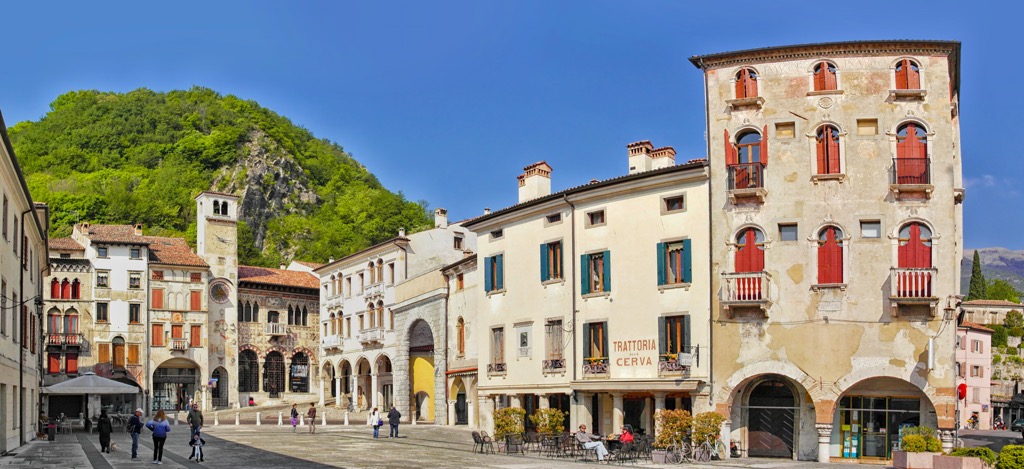
As elsewhere in Italy, the name of the province comes from the name of its largest city, Treviso. This word, in turn, comes from the Latin Tarvisus, derived from the Celts. It most likely means "bull" (tarvos). The full name of the province in Italian is provincia di Treviso.
The province of Treviso is located north of the province of Venice and south of the province of Belluno in the Veneto region in northeastern Italy. To the west, it also borders two other provinces of the same region: Padova and Vicenza. To the east of Treviso is the province of Pordenone in the Friuli Venezia Giulia region.
The easiest and fastest way to get to Treviso is from Venice by Trenitalia train (40 km / 24.8 mi, 40 minutes by car), which goes through the whole province from south to north.
The landscape of the province of Treviso is mostly flat, shaped by the Piave, the largest river in this part of Italy, which literally cuts its territory into two equal parts from north to south. It originates at Monte Peralba (2,694 m / 8,838 ft) in the Carnic and Gailtal Alps near the municipality of Valle di Sappada in the province of Udine in the Friuli Venezia Giulia region and flows into the Adriatic Sea near the village Cortellazzo of Jesolo municipality, near Venice. The river is 220 km (140 mi) long and very wide.
However, it is not the only one. The second largest river in Treviso, the Sile, flows through the province from west to east and also directly through the city of Treviso.
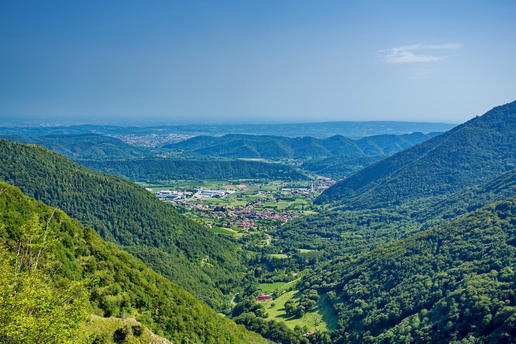
The Treviso mountains are located on the north of the province, stretching along its border also from west to east. They belong to the Belluno and Treviso Prealps of the larger Venetian Prealps, stretching along the entire northern part of the Veneto region.
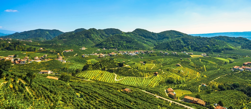
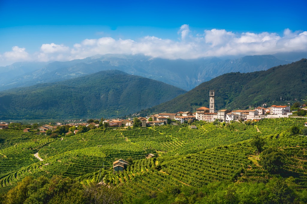
In turn, part of the Treviso Mountains is a series of hills consisting of both individual peaks and long ridges with many summits, including the world famous Prosecco Hills of Valdobbiadene and Conegliano (Colline del Prosecco di Valdobbiadene e Coneglianо)—a UNESCO World Heritage Site, named after one of the most famous white sparkling wines in the world, prosecco. It is similar to Champagne, but the two should never be confused, especially when talking to locals from Treviso (or the Champagne region of France).
According to various sources, Prosecco is considered one of the most popular wines in the world in general. It is also notable for its affordability, as its production area is very vast, which keeps the cost of the product down. On average, a bottle of Prosecco wine, depending on the variety, costs from 5 to 10–15 euros. It is also bottled in different volumes.
The two largest cities of the region are in the name, the latter is slightly larger, and the former is considered the heart of the region, where the best wine is made. The term “Prosecco” also extends to contiguous areas—such as Asolo, in the west of the province—so you may see other locations on wine labels beside the main ones. In my opinion, they are no worse.
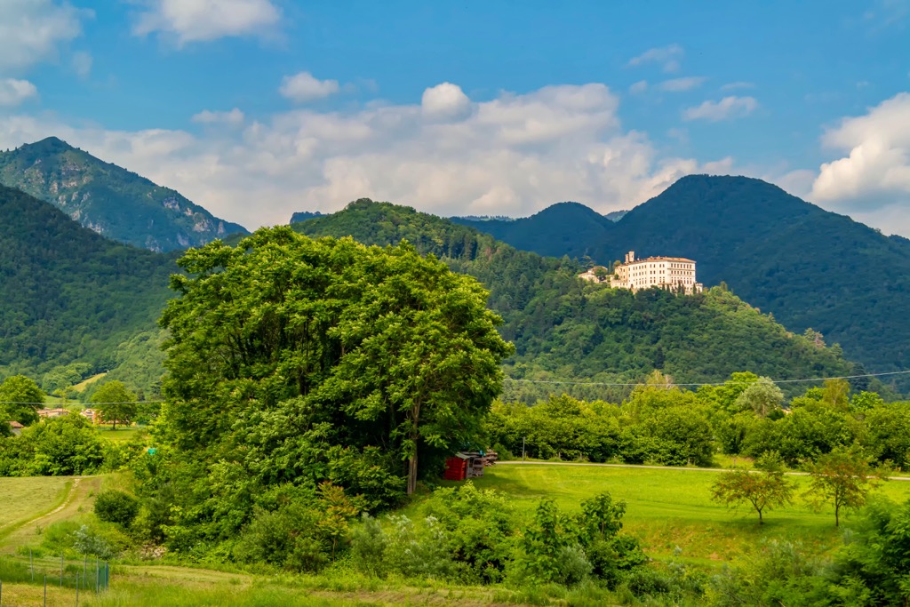
The Prosecco hills are covered with a network of asphalt and dirt roads, perfect for a leisurely car or even better a bike trip for a full day or even several days if you stay overnight at one of the B&Bs or agriturismos located there, offering wine tasting as well (and of course). The hills can also be hiked on marked trails, which I’ll talk about next.
The best time to travel to the Prosecco hills is in spring or, especially, in autumn, when the grapes are harvested. The summer from June to October is very hot here up to +35…+40 ºC (+95…+104 ºF), and no wind at all. You can go out only until 9 am or after 8–9 pm after sunset. On the other hand, it is in the summer, this area is the most green and disposing to rest, but not so active recreation. Winter is the coldest and grayest time of the year.
The Treviso mountains belong to the Belluno Prealps (Prealpi Bellunesi), one of the two (eastern) subranges of the greater Venetian Prealps (Prealpi Venete) according to Italian classification of the Alps, SOIUSA (western part of the Venetian Prealps is Vicentine Alps (Prealpi Vicentine).
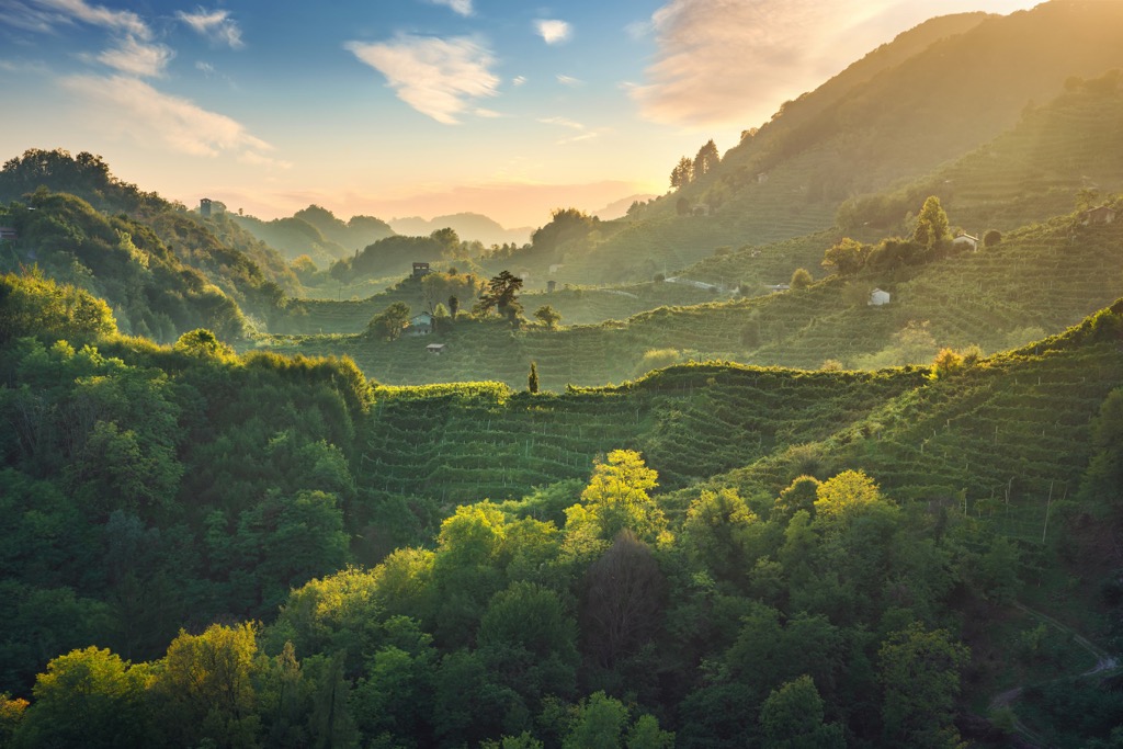
The Belluno Prealps separates the provinces of Belluno and Treviso, so it is the border range belonging to two provinces at once. Sometimes they are also called Belluno and Treviso Prealps (Prealpi Bellunesi e Trevigiane). The former are mountains on the Belluno side, the latter on the Treviso side, respectively.
The classification of the Eastern Alps of the German-Austrian Alpine Club (AVE) divides the Treviso mountains slightly differently. The western part of the Treviso mountains, Monte Grappa, belongs to the Dolomites and the eastern part with Prosecco hills to the Southern Carnic Alps (of the larger Carnic and Gailtal Alps in the SOUSA).
Within the Belluno and Treviso Prealps, the province can be divided into two large parts—let’s call them the Treviso Mountains and the Treviso Hills—separated by the Piave River, and five areas with the corresponding highest and most important peaks in total:
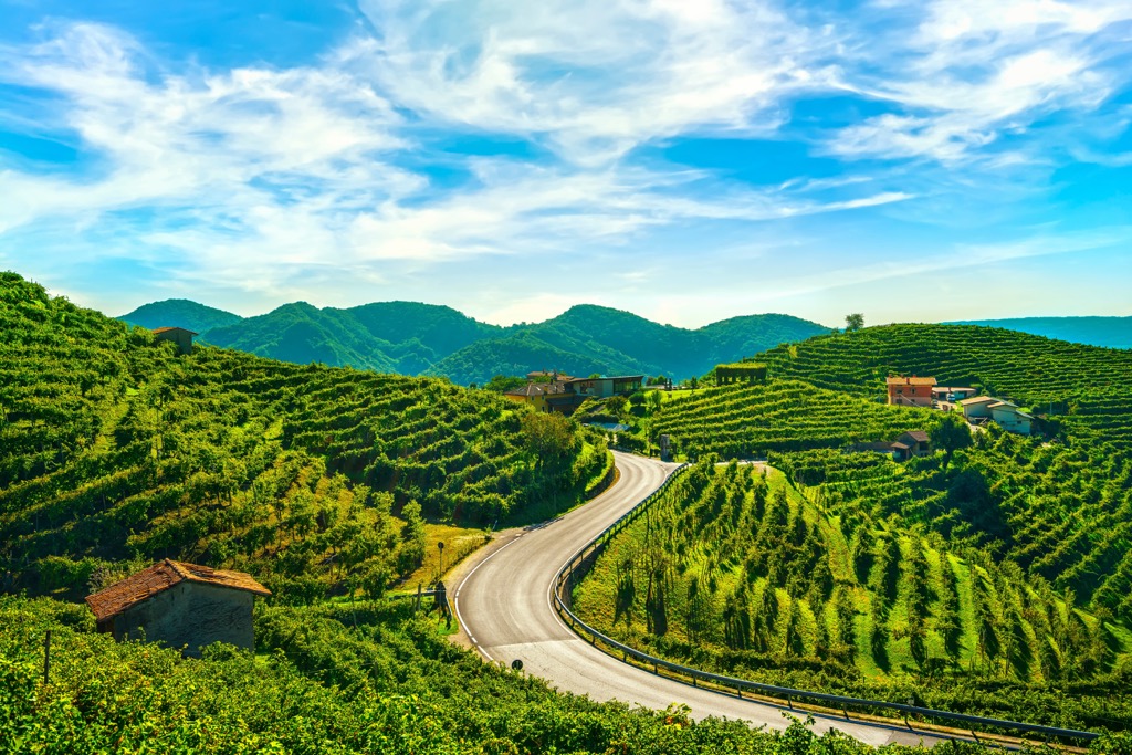
Important note: do not confuse the highest mountain in the area of the Prosecco hills with the namesake Monte Baldo—Cima Valdritta (2,218 m / 7,276 ft) of the in the Brescia and Garda Prealps—the highest on the entire eastern shore of Garda Lake and in the entire province of Verona.
The two main areas for hiking in the province of Treviso are its mountains and hills. There are no nature parks and nature reserves (they are concentrated in the flat part of the province), but that doesn't mean there are no marked routes.
Monte Grappa, the highest mountain of its namesake massif, is known for the military museum on its summit, the beautiful view of the mountain that you can enjoy from the town of Feltre, and the fact that it has hosted the finish line of certain stages of the famous Giro d’Italia cycling race many times. Accordingly, you can go to the summit by bicycle, car, or on foot along the trail.
Monte Cesen is known for the fact that it rises above Valdobbiadene, the heart of Prosecco region, which means that when you climb it you can look at all of the hills, but also at the series of mountain groups on the southern border of the Dolomites on the opposite side of Valbelluna: Cimonega, Schiara, Bosconero of the Dolomiti Bellunesi National Park, as well as Friulian Dolomites to the east of them. There is an easy path to the summit.
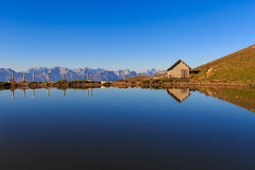
Monte Comun in the central part of the hills also offers excellent panoramic views. There is even a bench on top of the mountain (no need to carry your own).
There is a Prosecco Hills Trail (Il Cammino delle Colline del Prosecco), a long hiking route that goes through all the hills. This relatively new trail, which was opened in 2021, travels between the villages of Vidor on the west and Vittorio Veneto on the east of the hills. The route is 50 km (31 mi) long and has an elevation gain of 2,265 m (7,431 ft). You can complete this trail in four stages with overnight stops in the villages of Col San Martino, Follina, and Tarzo. This route is open to both cyclists and hikers.
Hiking along the whole Belluno and Treviso Prealps from west to east or crossing it from north to south (this is generally the recommended option) on foot is also possible. You can also do it on bike via the famous San Boldo Pass (706 m / 2,316 ft), which is known for its incredible system of more than 10 tunnels and which has also hosted many stages of the Giro d’Italia. In general, the main Italian three weeks cycling race goes to the Prosecco Hills and neighboring areas every year.
In the flat part of the province of Treviso, you can also find areas for hiking, represented by the regional nature parks and nature reserves in the valleys of the Piave and some others. For example, the Sile River Nature Park (Parco naturale regionale del Fiume Sile) was formed to protect the ecosystem of the river flowing directly through the center of Treviso, which I mentioned at the beginning of the guide.
The main and only ski resort in the province of Treviso called Alpe del Nevegal is located on two neighboring mountains in the eastern part of the Belluno and Treviso Prealps: Monte Faverghera (1,611 m / 5,285 ft) and Col Toront (1,670 m / 5,479 ft) just a little east of Col Visentin (1,776 m / 5,826 ft). The resort has 23 km (14.2 mi) of slopes and 5 ski lifts, enough for one-two days of skiing.
Learn more about these and other ski resorts in the Veneto region and in Italy in general in World Mountain Lifts, including open ski lifts and ski slopes, as well as cable cars.
Before or after your hike, visit the official tourist office of the Treviso province, located in its capital, to find out more information on the spot, ask for advice, pick up a map, and more.
Treviso Tourist Office
Piazza Borsa, 4, Treviso, Italy
+390422595780
Here are also three official tourist sites of the Prosecco Hills natural region, its main city Conegliano, and the prosecco wine itself: Visitproseccohills.it, Visitconegliano.it, and Prosecco.it.
The best option for an overnight stay while traveling in the Prosecco hills is a B&B, agriturismo, camping, or the like. Of course, there are also hotels, which are also often family-run and not chain hotels.
Of all the lodgings, I would recommend agriturismo, which combines a location in nature, a cozy B&B with not many rooms, and a restaurant with local produce grown right at the site.
For example, in the winery and agriturismo "Althea" (Via Confin, 37, 31029, Vittorio Veneto), located in the village Confin strictly north of Conegliano right on the hill, surrounded by vineyards, available 5 rooms with double beds for about 70–100 euros per night on average. All arriving guests are promised a bottle of prosecco of their own "Althea" brand as a gift. The restaurant separately seats up to 50 people. The agriturismo is open all year round.
Similar agriturismos can also be found in Monte Grappa Massif: Agriturismo Col Beretta, Agriturismo San Siro, Agriturismo Da Baldino, Agriturismo Col Del Gallo, and others.
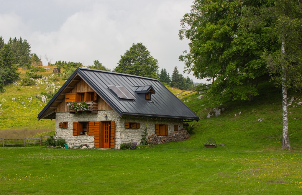
In the massif, there are also traditional Alpine huts above 1,000 m (3,280 ft): Rifugio Val Tosella di Davide Elena Pegoraro, Rifugio Alpe Madre, and others.
There is also at least one free decent looking Alpine shelter, Bivacco Murelon, but you need to carry everything with you, including primarily a sleeping bag but also a soft yoga mat, because judging from the photos available online, it has no mattresses and blankets at all.
The Treviso province has a total of 94 communes, the largest of which, after the capital of the same name (84,000+) and Conegliano (34,000+) are Castelfranco Veneto, Montebelluna, Mogliano Veneto, Vittorio Veneto, Paese, Oderzo, Villorba, and Preganziol.
In total the province has a population of over 800,000 inhabitants or about one-fifth of the Veneto region with nearly 5,000,000 inhabitants.
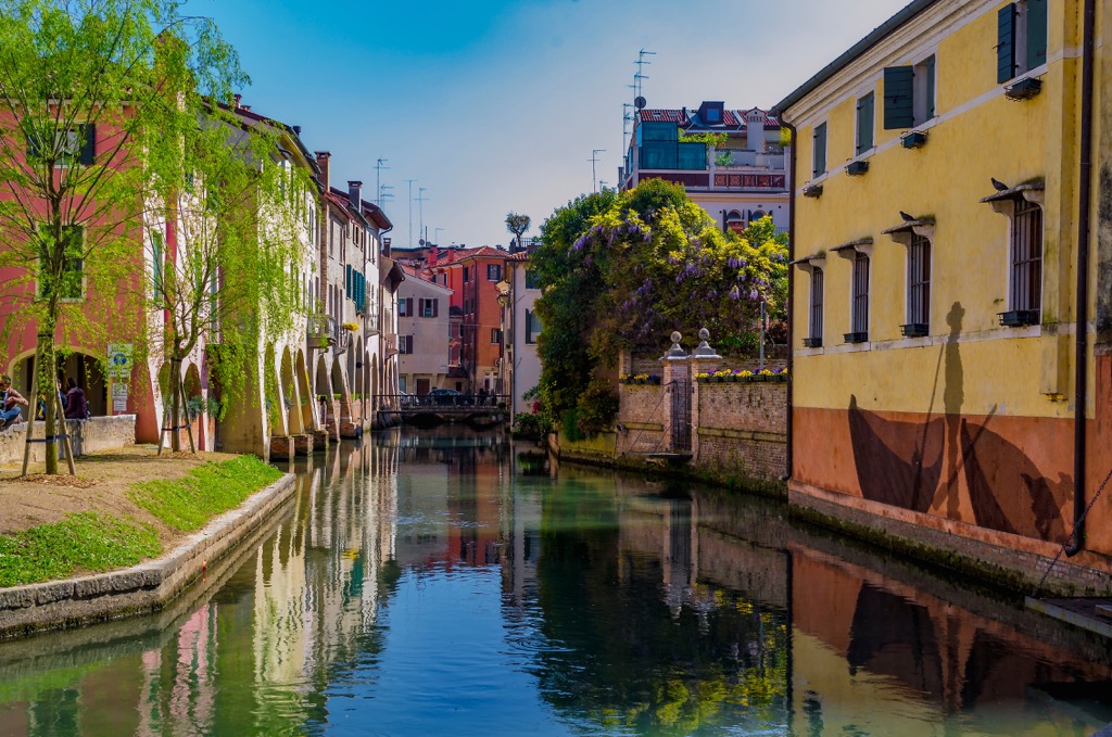
The cities listed above are mostly located in the western part of the province, so they can be seen as guidelines. By Italian standards, these are quite large settlements, but by world standards, they are small towns with a quiet and peaceful life, so I would call them also resorts.
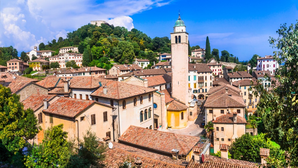
As elsewhere in Italy, each such town is surrounded by dozens of villages, located even further in the nature—for example, the same Asolo, which is not on the list, but which I have already mentioned. It is also situated on beautiful hills and it also grows prosecco of the same name brand. Locals call Asolo "The Pearl of the Province of Treviso" because of its many architectural and cultural sights of the Republic of Venice.
The reason for going to Asolo (and other similar places), rather than the central part of the Prosecco Hills (and other similar world-famous attractions), may be this: a lot of people have been there, not yet here. So this "gem" can be only yours.
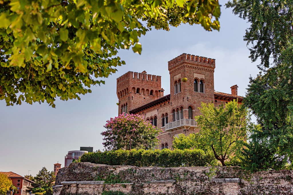
Explore Treviso with the PeakVisor 3D Map and identify its summits.


