Scan the QR code and open PeakVisor on your phone
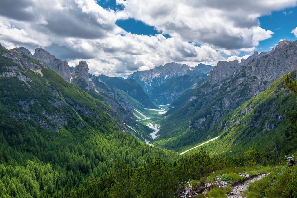
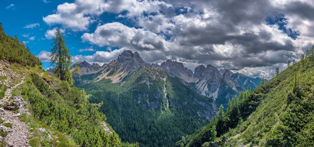
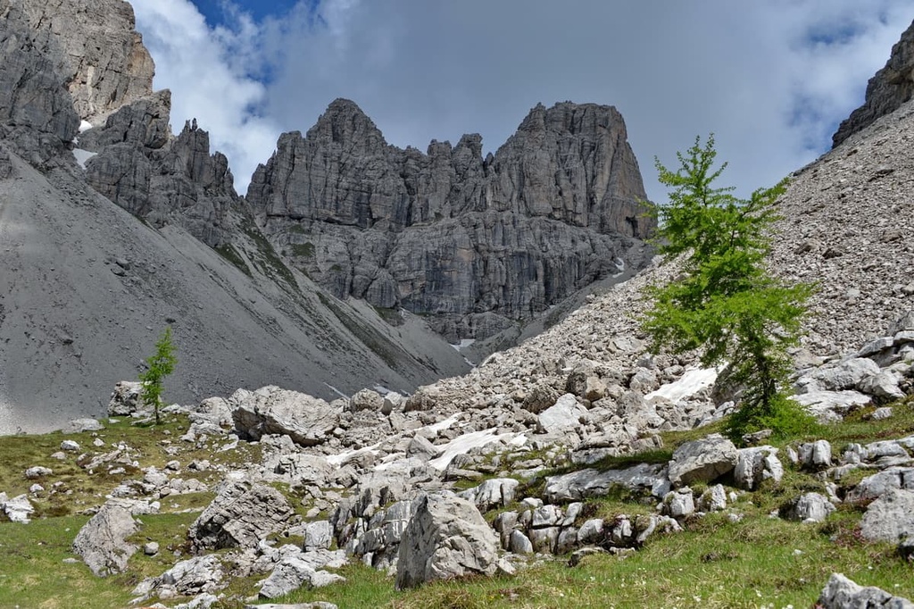
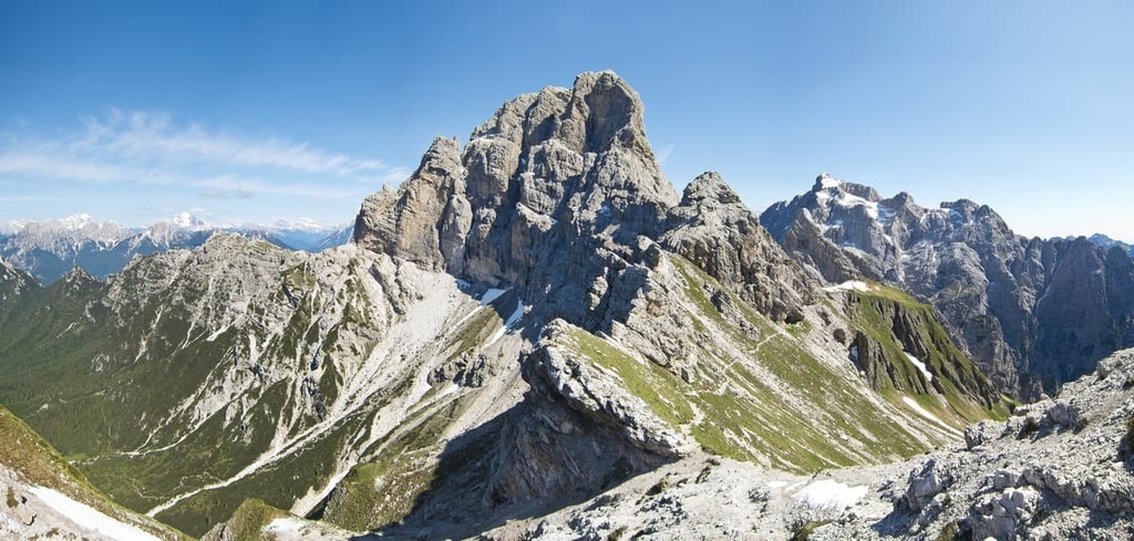
Dolomiti Friulane Nature Park is one of the 10 nature parks in the Dolomites of northern Italy. The main feature of the park is the Friulian Dolomites, which is the easternmost of the 296 subgroups in the range and one of the wildest. For example, there are no major peaks in the group that can be climbed by cable car, although, in general, the region is very famous for its many cable cars. There are 296 named mountains in the park, the highest and most prominent of which is Cima dei Preti (2,707 m / 8,881 ft).
The word Friulane in the name of Dolomiti Friulane Nature Park means ‘Friulian’ in English. It comes from the name of the region of Italy, Friuli Venezia Giulia, in which the park is located.
The Friuli is a specific historical and cultural region that’s located in the northeastern part of the country. It was traditionally home to the Friulians (Friulans/Furlans) who speak the Friulian language, which is closely related to the language of the Ladins—one of the main ethnic groups of the central Dolomites.
The word Friuli itself originates from the name of the ancient Roman towns of Forum Iulii (now Cividale del Friuli) and Iulium Carnicum (now Zuglio), both of which are located in the modern region of Friuli Venezia Giulia.
Furthermore, the name Dolomiti Friulane in English would be translated as Friulian Dolomites. They are also called the Friuli Dolomites. Or, you may hear them referred to as the Dolomiti d'Oltre Piave or Oltre Piave Dolomites, which means ‘The Dolomites Beyond the Piave.’ This name is a reference to the mountains’ location near the Piave River, which runs along the western borders of the park.
The full name of the park in English is the Friulian Dolomites Nature Park. In Italian, it is called the Parco Naturale Regionale delle Dolomiti Friulane.
Dolomiti Friulane Nature Park covers an area of 36,950 hectares (91,300 acres), and it almost perfectly coincides with the boundaries of its namesake mountain group. In fact, the Friulian Dolomites are almost equal to the park in area and vice versa.
Most of the park and the mountain group are located in the northern part of the Friuli Venezia Giulia region in the province of Pordenone though a smaller portion of the park is also located in the province of Udine. The western border of the park coincides with the border of the Veneto region, but the mountain group itself extends to the Piave River Valley.

On its other three sides, the park is also surrounded by a number of large valleys, including Valcellina to the south, Val Meduna to the east, and Val Tagliamento to the north. There are also other valleys in the park and mountain group, some of which are densely populated, like Val Colvera and Val Tramontina, and some more remote valleys like Val Montanaia.
The park also includes the Nature Reserve of the Cellina Gorge (Riserva naturale Forra del Cellina), which is located near the town of Barcis to the south of the park.
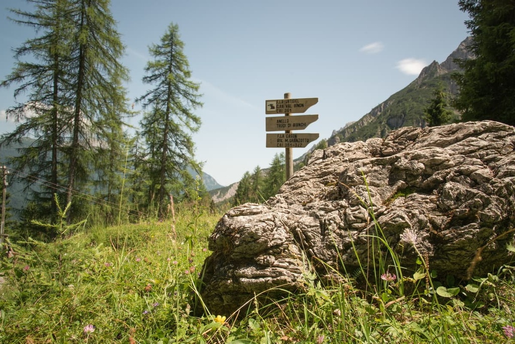
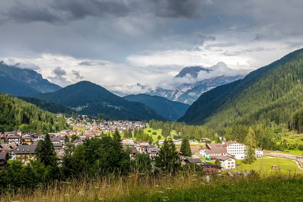
Dolomiti Friulane Nature Park is literally surrounded by small settlements, most of which are located on its borders. These settlements serve as great starting points for the many hiking trails that lead into the park itself.
Some of the main settlements in the area include communities like Longarone, Pieve di Cadore, Forni di Sopra (Upper), Forni di Sotto (Lower), Tramonti di Sopra, Tramonti di Sotto, Andreis, Barcis, and Erto. Meanwhile, the closest large cities to the park are Belluno and Pordenone.
You can travel around the region relatively easily by car. Or, you can get around the Veneto and Friuli Venezia Giulia regions by taking one of the buses operated by either Dolomitibus.it or Tplfvg.it.
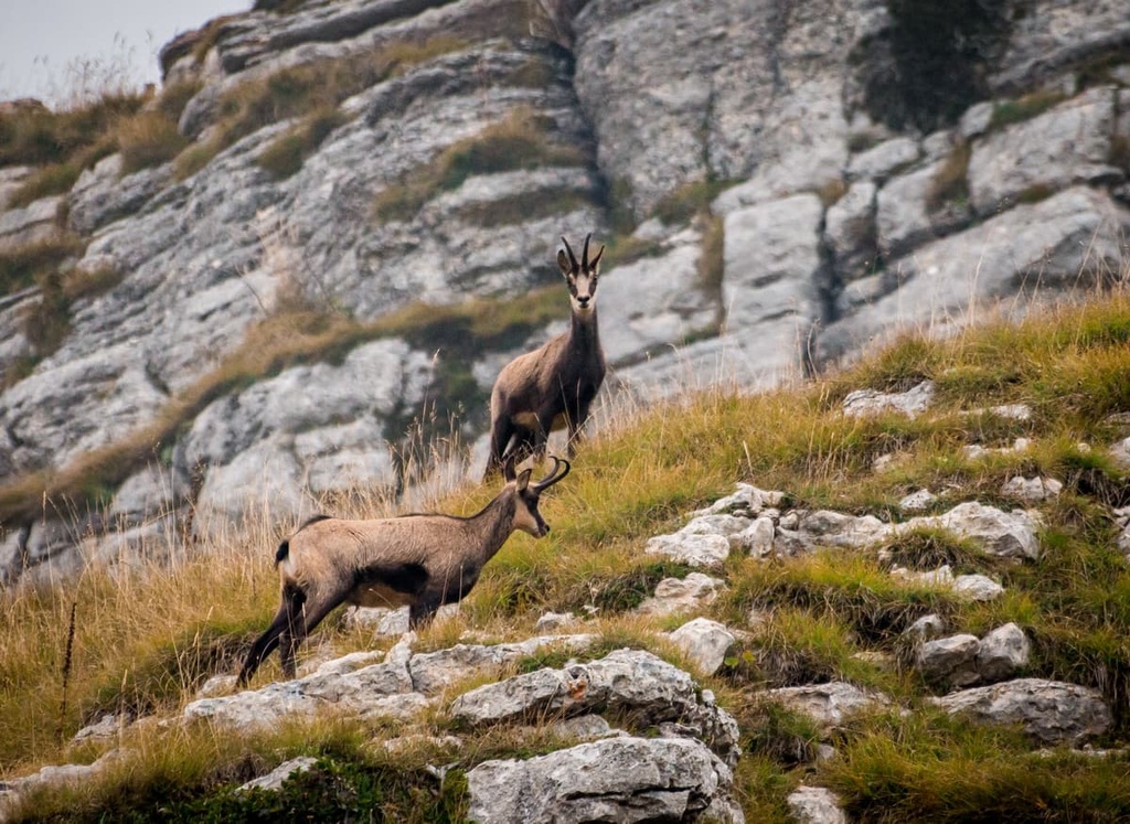
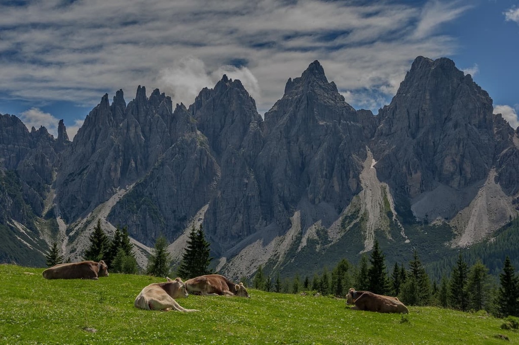
Dolomiti Friulane Nature Park is known for its unique landscape features and human history, but as is the case with other nature parks in Italy, the first reason for its creation is to protect the region’s rich flora and fauna.
Here’s a quick look at some of the flora and fauna that you might encounter on a trip to Dolomiti Friulane National Park:
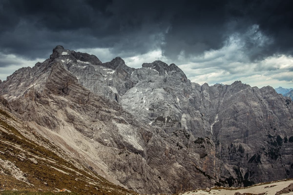
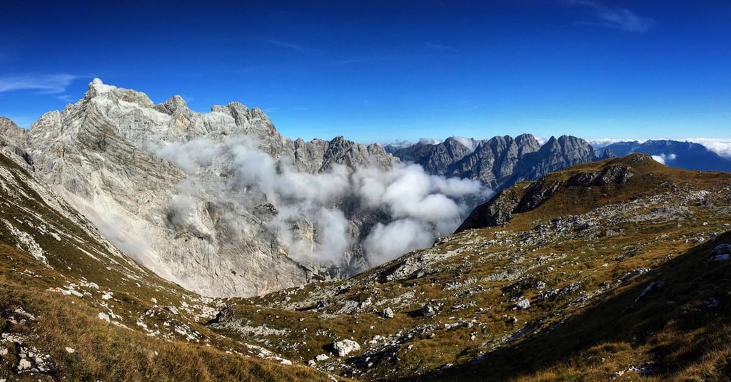
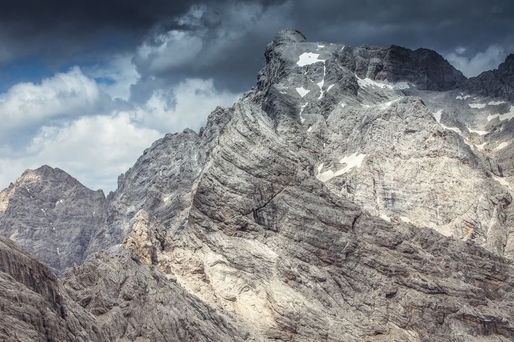
First and foremost, it is important to note that, despite its slight distance to the east from the main part of the Dolomites, geologically, the Dolomiti Friulane is also one of the nine great mountain systems of the Dolomites as a whole.
According to the UNESCO classification system for the Dolomites, the Dolomiti Friulane are subgroup number 4 within the range. The UNESCO classification system focuses on the geology, rather than the geography of the region, which is why the Dolomiti Friulane are considered part of the greater Dolomites and were included within the Dolomites World Heritage Site when it was established in 2009.
According to SOUISA, the Italian classification system of the Alps, the Friuli Dolomites are one of three large mountain groups within the Carnic Prealps (Prealpi Carniche) range together with Catena Chiarescons-Cornaget-Resettum and Catena Valcalda-Verzegnis (catena is means ‘chain’ in Italian). These peaks are part of the Carnic and Gailtal Alps (Alpi Carniche e della Gail) alongside the Carnic Alps and Gailtal Alps, respectively.
Meanwhile, according to the classification of the German-Austrian Alpine Club (AVE), this group is called Southern Carnic Alps and is one of the two parts of the Carnic Alps (the second is the Carnic Main Crest).
But within the SOIUSA classification system, which is primarily what PeakVisor uses, there are four smaller groups within the Carnic Prealps:
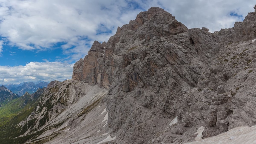
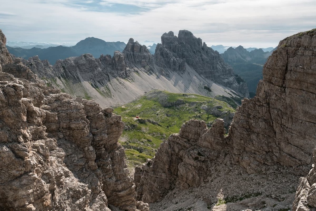
The most notable peaks of the Friulian Dolomites, and thus the park, are the highest and most distinct-looking mountains in each of its subgroups. These include:
Monte Cridola (Crudula)
Monte Cridola / Crudula (2,581 m / 8,467 ft) is a huge mountain that’s located in the northernmost part of the park. You can reach its summit from rifugio Giaf, which is located in a nearby valley. Along the way there are also magnificent views of Tre Cime di Lavaredo, Dolomiti di Sesto, and Marmarole.
Monfalconi
Monfalconi is not one but a group of remarkable peaks, which includes Monfalcon di Forni (2,453 m / 8,047 ft), Monfalcon di Cimoliana (2,450 m / 8,038 ft), and Monfalcon di Montanaia (2,548 m / 8,359 ft).
Monfalcon di Montanaia is one of the most recognizable mountains of the park thanks to its huge and broad vertical face, which is similar to that of Civetta or Cima Grande (2,999 m / 9,839 ft) in Tre Cime di Lavaredo. This subgroup also includes the summit of Crodon di Giaf (2,523 m / 8,277 ft).
Spalti di Toro
Spalti di Toro is another series of many peaks that’s located in the park. Its tallest peak is Torre Both (2,409 m / 7,903 ft).
The name translates as “Bullfighting Stands” and is a reference to Spanish bullfighting. According to another etymology, the mountain’s name is the Italian version of the name of the Germanic god Thor.
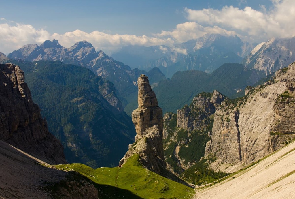
Campanile di Val Montanaia
The most famous peak in the park for its unusual shape and location is the Campanile di Val Montanaia (2,173 m / 7,129 ft). It stands apart from the others literally in the inner valley of Val Montanaia as it is part of the larger Val Cimoliana. The name translates as “bell tower” (campanile in Italian). For climbers, there is a bivacco Giuliano Perugini that’s located next to the peak.
Cima dei Preti
Cima dei Preti (2,707 m / 8,881 ft) is the highest peak of the Oltre Piave Dolomites range and is part of the Dunanno subgroup. The mountain is located in the western part of the park. It is also the most prominent summit of the whole Carnic and Gailtal Alps. The name of the peak translated to “Priests’ Peak.”
Monte Duranno
Monte Duranno (2,666 m / 8,746 ft) itself is a peak that’s located slightly to the southwest of Cima dei Preti. It stands out because it is a pyramid-shaped mountain with a sharp peak.
The summit can be reached from rifugio Maniago. You can also get a great view of the mountain from the villages of Valle di Cadore and Cimolais.
Monte Pramaggiore
Monte Pramaggiore (2,478 m / 8,129 ft) is a mountain that’s located in the central part of the park. It is considered to be one of the most difficult peaks in the park to reach on foot.
You can climb it in several ways, including from Forcella Pramaggiore and rifugio Pussa or from rifugio Pordenone and the town of Andrazza in the upper Tagliamento Valley.
In addition to the above-mentioned hiking routes to the main peaks of the group, there are a number of other notable trails in Dolomiti Friulane Nature Park. Here’s a quick look at some of the best hikes in Dolomiti Friulane Nature Park to check out during your next trip to the region.
Friulian Dolomites Ring (Anello Dolomiti Friulane) is the main hiking route in the park. It takes you around its central and most beautiful part, and it is 38 km (23.6 mi) long.
This hike is one of the many loop routes in the Dolomites, which also includes the Tre Cime di Lavaredo Loop, Sassolungo Loop, and Pelmo Loop, among others. The route has four stages that take you between the region’s four main mountain huts. It takes 6 days to complete it in full.
These four stages are:
The Alta Via 6 is one of the six official long hiking trails in the Dolomites. It runs between Sappada, Belluno, and Vittorio Veneto, Treviso.
The route is 180 km (111.8 mi) long and it is split up into 11 stages. The trail is also known as the “High Way of Silences,” and it runs through the entire central part of the Dolomiti Friulane Nature Park from north to south.
Within Dolomiti Friulane Nature Park, the route consists of five stages:
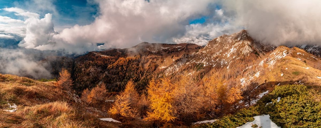
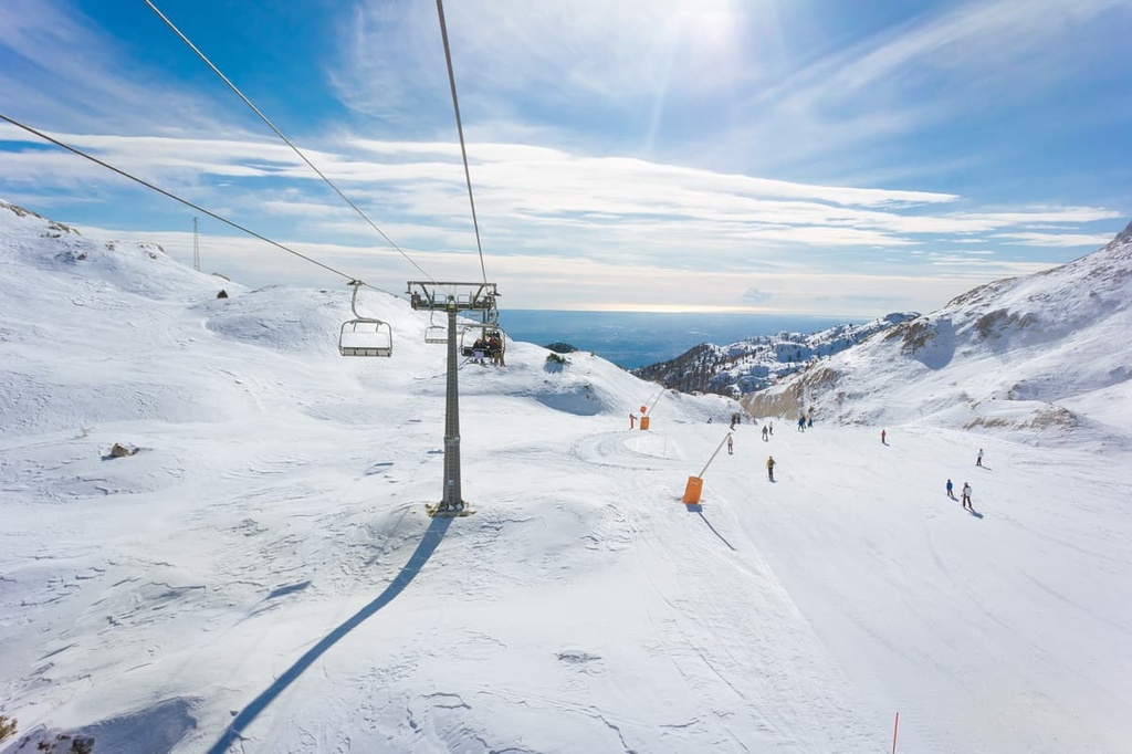
In winter, the Friulian Dolomites are a great place for skiing, snowboarding, snowshoeing, and other snow sports.
The closest ski area to the park is the Forni di Sopra Ski Resort, which is located right on its northern borders. You'll find 13 km (8 mi) of slopes and 5 ski lifts at the resort.
Other nearby resorts include:
You can get more information about these and other ski resorts on the Veneto and Friuli Venezia Giulia regions of Italy pages in the World Mountain Lifts section of PeakVisor.
Unlike some smaller or less popular nature parks where there may not even be one visitor center, in Dolomiti Friulane Nature Park you will find nine visitor centers where you can get information about the park, get advice about your travels, or simply pick up a paper map.
Each of these visitor centers also has a permanent exhibition that’s dedicated to a special aspect of the park. In the center that’s located in Andreis, for example, you can learn about the local birdlife.
Visitor Center of Andreis
Via Acquedotto, 1, Andreis, 33080, PN, Friuli Venezia Giulia, Italy
+39 042787333
In the same town, there is also the Ethnographic Museum of Andreis, which, according to the park’s official site, ParcoDolomitiFriulane.it, “provides evidence through the exhibition of objects and an environmental reconstruction of daily life’s aspects of Andreis’ inhabitants in the first half of the twentieth century.”
The other visitor centers that are located in Dolomiti Friulane Nature Park can be found in the towns of Cimolais, Claut, Erto e Casso, Forni di Sopra, Forni di Sotto, Poffabro, Tramonti di Sopra, and Barcis. There is also an info point located at the Vajont Dam in Erto and Casso.
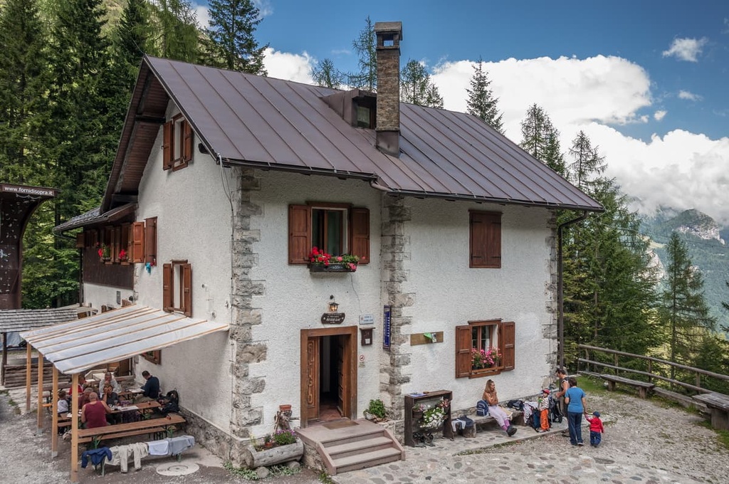
In Dolomiti Friulane Nature Park, as well as the whole Dolomiti d'Oltre Piave mountain group, you can stay in two main types of accommodation: mountain huts (rifugios) and alpine bivouacs (bivaccos).
Here are their main differences:
There are approximately a dozen rifugios and a dozen bivaccos in Dolomiti Friulane Nature Park and the surrounding area. This is a relatively large number given the small size of the park.
Some of the main rifugios in the area include:
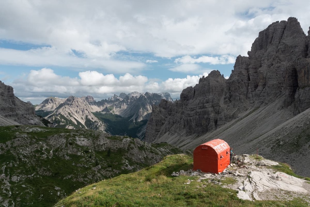
Some of the main bivaccos in the area include:
Before and after your hike, you can easily find other types of lodging in any of the towns that are located on the borders of the parks. In each town, you will usually find accommodation options like hotels, B&Bs, apartments, villas, and vacation homes.
There are many cities and towns that are located near Dolomiti Friulane Nature Park, including Belluno, Pordenone, Longarone, Pieve di Cadore, Forni di Sopra (Upper) and Forni di Sotto (Lower), Tramonti di Sopra, Tramonti di Sotto, Andreis, Barcis, and Erto.
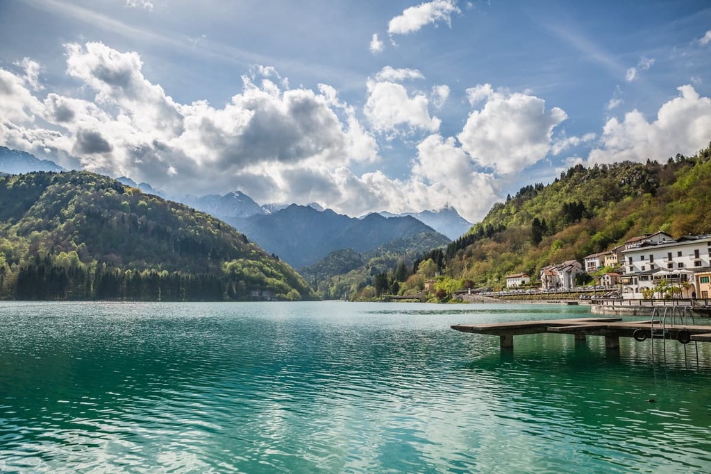
If you want good access to the park’s hiking trails, it’s normally best to stay in one of the many communities that are situated near its borders. One great option is the town of Barcis, which is located on the southern border of the park, about 110 km (68 mi) to the northwest of the city of Trieste and 25 km (16 mi) to the north of Pordenone.
The small town of Barcis has only 229 residents (2021), though at the end of the nineteenth century there were about 2,000 people who lived in the area.
This is a clear example of what has happened to many of the villages in the Dolomites over the decades. In many cases, the younger generations have left their home villages in order to seek out work opportunities in the bigger cities.
Nevertheless, Barcis is still one of the main centers of tourism in Dolomiti Friulane, thanks to its location on the picturesque Lake Barcis, which is located at an elevation of 409 m (1,341 ft).
The town includes the smaller villages of Arcola, Armasio, Cimacosta, Fontane, Guata, and 11 others, which also perfectly conveys the structure of Italian municipalities. In other words, even a small village of fewer than 300 inhabitants consists of a dozen smaller and unique settlements, some of which have just two or three houses.
The resort’s main architectural and cultural attraction is the seventeenth-century Centi Palace (Palazzo Centi), which combines the rustic style of the local Valcellina with Venetian architecture. It is built of stone and is sometimes rustically arranged, so it has a very refined structure.
There are also three notable churches in the town: the large seventeenth-century Church of St. John the Baptist (Chiesa di San Giovanni Battista), and two smaller ones, including the Little Church of St. Francis (Chiesetta di San Francesco) and Little Church of St. George (Chiesetta di San Giorgio), both of which date to the eighteenth century.
For more information, check out the official tourist site of Barcis: Barcis.fvg.it.