Get PeakVisor App
Sign In
Search by GPS coordinates
- Latitude
- ° ' ''
- Longitude
- ° ' ''
- Units of Length

Yes
Cancel
❤ Wishlist ×
Choose
Delete
The sombre gray granite and red porphyry make up the majestic stronghold of the Fiemme Mountains, the land of sparkling lakes, hiker-friendly itineraries and epic opportunities for skiing in South Tyrol. The Fiemme Mountains or the Fleimstal Alps as they are known in German language is a mountain group in northern Italy, which consists of five main subgroups.
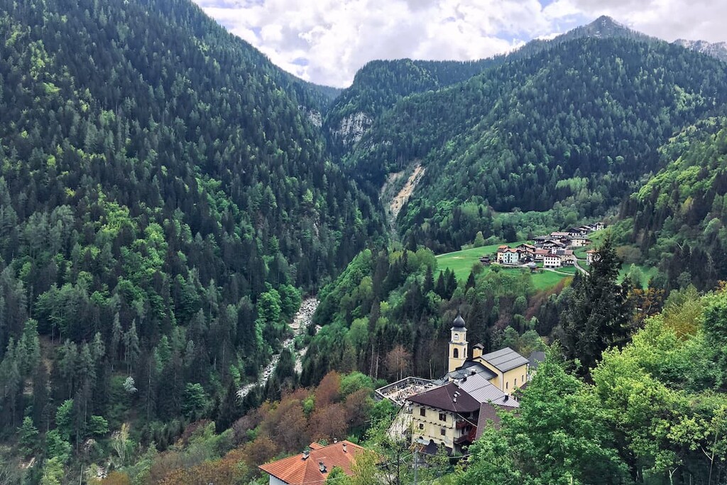
One of the most interesting facts about these mountains is that they are very often attributed to the Dolomites when it comes to geography because they are neighbouring groups, but they are not the Dolomites. The more important difference is geology. The Fiemme Mountains are mainly composed of hard granite and porphyry although dolomite also occurs here.
The southern part of the Fiemme is also one of the most non-tourist in the region if we compare it with the Dolomites. What they have in common with other parts of Alps is the similar alpine nature, the way of life of local people, and the countless opportunities for active recreation.
The journey through these mountains can begin in one of more than 30 different settlements with significant cultural and historical values. These range from cities and provinces like Bolzano and Trento to towns like Lamon in the province of Belluno — a home to the author of this and other PeakVisor Explore articles.
The Fiemme Mountains get their name from the valley of the same name — the Fiemme Valley (Val di Fiemme in Italian, Fleimstal in German). It is one of the main and most famous valleys in the region on par with the Ladin valleys of Fassa, Badia, Gardena and others with which the Dolomites are associated. And the Ladins are the native people of the Dolomites.
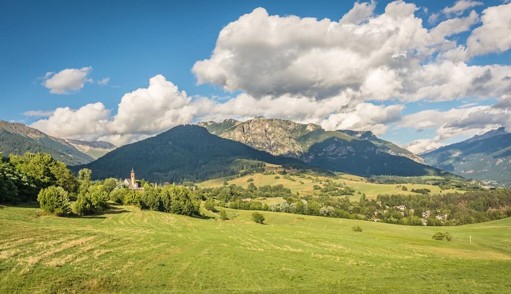
Don't be surprised if you see several names, depending on the language because this province is very multicultural. Thus, the same mountain groups can be identified as the Fiemme Dolomites (Dolomiti di Fiemme in Italian), the Fleimstal Alps (Fleimstaler Alpen in German), the Fiemme Alps (Alpi di Fiemme).
There are several official Tourist Centers in the main towns of the Fiemme valley, the one in Cavalese in the heart of the valley:
The official travel website of the region is here.
The Fiemme Mountains is a group number 53 in the Alpine Club classification of the Eastern Alps (AVE), one of several major classification systems of the Alps.
Since it is a special mountain group that is not part of the neighboring Dolomites, it is important to understand its exact geography.
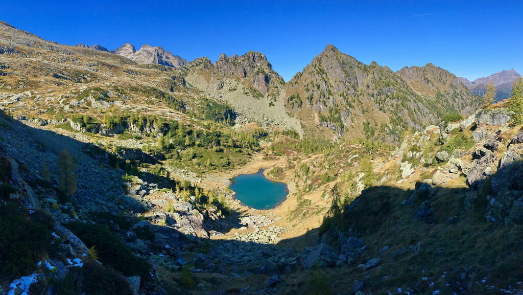
So the mountains are located between six other mountain groups: the Sarntal Alps, the Dolomites, the Vicentine Alps, the Garda Mountains, the Brenta Group, and the Nonsberg Group. In total, there are 75 mountain groups in the Eastern Alps, divided into four large clusters.
Let us imagine that you decide to drive around the whole Fiemme Mountains in a circle. Here are the exact boundaries in the above classification: from Bolzano in the north to the Eggental Valley through the passes of Zanggenjoch and Satteljoch to the town of Predazzo. Then into the Paneveggio or the Pale di San Martino Nature Park through the Rolle Pass into the Cismon River Valley. The southern borders almost reach the town of Cismon del Grappa, from where it passes to the town of Borgo Valsugana through Mocheni, until Trento. Finally, the mountains stretch through the Etschtal Valley back to the southern borders of Bolzano, but mind you that taking it all over is not the most sensible thing.
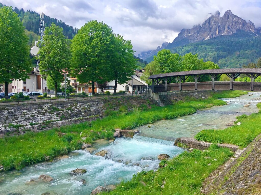
The Fiemme valley itself is located in the northern part of these mountains along the 89.4 km long Avisio River, which runs through two other neighboring valleys: the Fassa Valley (Val di Fassa) and the Cembra Valley (Val di Cembra). At the same time, the river seems to cut the Fiemme Mountains into two unequal parts: a smaller northwestern part and a much larger southeastern one, where the main and highest mountain subgroups of the Fiemme Mountains are located.
On the political map of the world, the Fiemme Mountains are located almost exactly in the middle between the three major provinces: Trentino, Bolzano and South Tyrol, these two make up one region, and Belluno in the Veneto region, which includes my village of Lamon as well as its surroundings.
![]()
Unlike the Dolomites, the Fiemme Mountains consist mainly of two rocks: granite and porphyry. You don't need to be a geologist and know about rocks to understand this. You can see for yourself the differences because the mountains differ in the appearance of stones and landscape. However, to know a little more about them will not be superfluous at all — you will be able to impress your friends with your knowledge:
So, because of the rich presence of granite and porphyry, the mountains of the Fiemme do not look mostly white or light grey like some mountain groups in the Dolomites, but dark gray and green, because mosses and lichens also cover the rocks.
In terms of landscape, the mountains are also different from the Dolomites. Most of the Fiemme mountains do not have such pronounced pointed mountain peaks as the Tre Cime di Lavaredo, the Sella Towers, or massive mountain ranges like Marmolada. The mountains are more reminiscent of the common Alps.

Yet, there are some dolomite in the Fiemme Mountains and high mountain peaks — this is the Latemar mountain group.
The Fiemme Mountains include five mountain subgroups that differ from the rest of the surrounding mountains in size and height of the peaks, and therefore stand out immediately on all maps. These are Latemar, Altopiano di Nova Ponente, Catena del Lagorai, Catena Monte Croce — Sette Selle, and Cima d'Asta.
In total, there are 434 named mountains in the Fiemme Mountains. The highest and the most prominent mountain is Cima d'Asta (2,847m).
The Latemar is relatively small compared to the others in the region, yet one of the most famous and popular groups in the Fiemme Mountains. The main rock is dolomite. The Latemar is known for the breathtaking postcard view from Lake Carezza. One of the Ladin legends called The Colour Splendor of the Lake Carezza is also dedicated to the lake and the mountain.
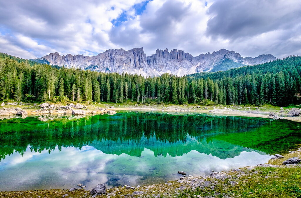
The highest and the most prominent mountain is Cimon del Latemar aka Torre Diamantidi (2,842 m). Other major summits include Corno d'Ega (2,787 m), Schénon del Latemar (2,776 m), Col Cornon (2,751 m), Cima di Valsorda (2,745 m), Cima del Forcellone (2,731 m), Cava del Bol (2,688 m), Cima Feudo (2,664 m), Pis dei Mus Primo (2,630 m), Punta della Chiesa (2,598 m).
The Nova Ponente is a high mountain plateau located above the South Tyrolean Ega Valley (Val d'Ega / Eggental) in the northern part of the Fiemme in the municipality of the same name. The surrounding mountains are not that big and high, especially if compared with the Lagorai cluster, but the close proximity of Bolzano makes this area attractive to outdoor enthusiasts. If you plan to start your journey to the Fiemme Mountains from the north and come from Innsbruck or Munich, do not miss these mountains, at least drop in for a day hike.
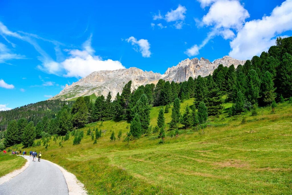
The two highest and the most prominent mountains are Corno Nero / La Rocca / Schwarzhorn (2,439 m), and Corno Bianco/ Weißhorn (2,316 m).
The wildest and therefore least popular mountain group in the Fiemme Mountains is the Lagorai. Inside the Lagorai, there is almost no infrastructure: only a few mountain huts with no roads leading to them, and very few hotels in the valleys. The Lagorai is mostly composed of porphyry. The northern part of the mountain group is part of the Paneveggio Natural Park with its famous Colbricon Lakes and the site of ancient Neolithic hunters.
![]()
The highest and the most prominent mountain is Cima di Cece (2,754 m). Other major summits include Cimon de le Sute (2,616 m), Cima delle Stellune (2,597 m), Cima di Lagorai (2,585 m), Cima delle Buse (2,574 m), Cima Litegosa (2,548 m), and Castel di Bombasel (2,532 m).
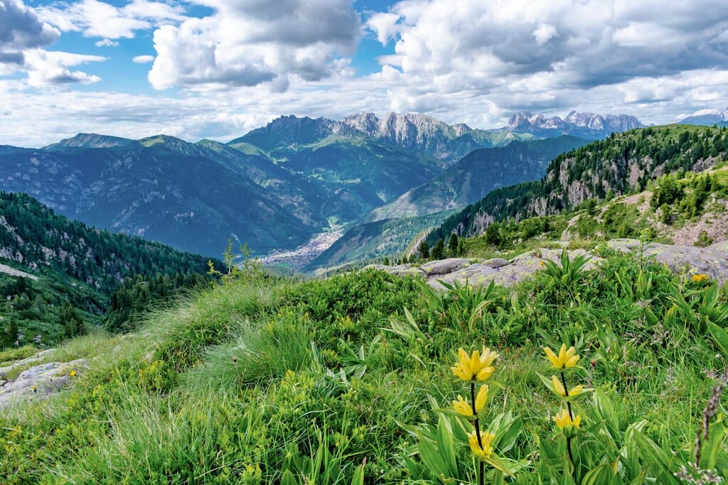
The southernmost and the smallest mountain group in the Fiemme Mountains. The name is translated from Italian as Mount Cross — the Seven Saddles. It is the dominant peak of the group, located in the magnificent alpine valley of the Mocheni (Val dei Mocheni) formed by the large mountain stream Fersina. As in the neighboring Lagorai group, there are far fewer tourists here compared to the central, western, and northern parts of the Dolomites.
The highest and the most prominent mountain is Monte Croce (2,489 m). Other major summits are Monte Fregasoga (2,447 m), Cima delle Buse Todesche (2,413 m), Monte Conte Moro (2,407 m), Cima di Sette Selle (2,396 m), Monte Fravort (2,347 m).
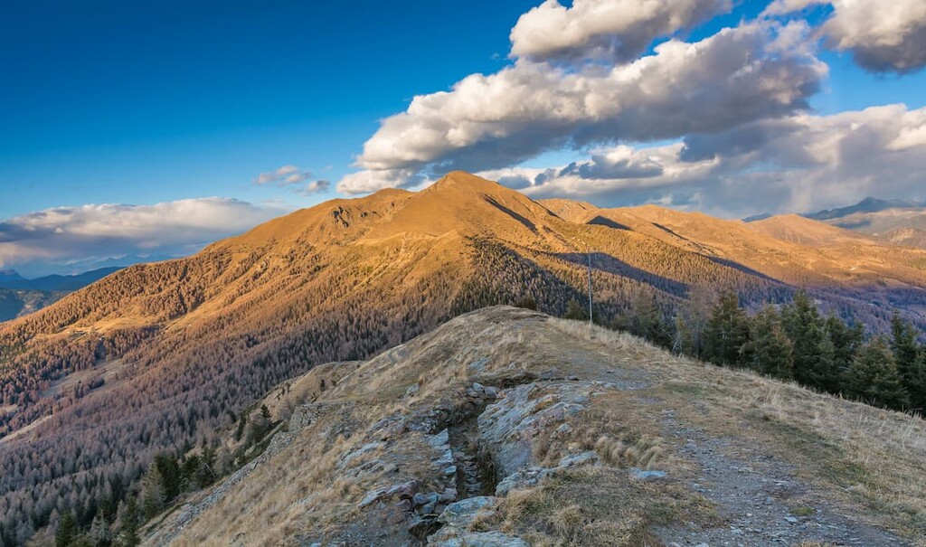
The Cima d’Asta is a mountain group neighboring the Lagorai from the south with the dominant peak of the same name. Some attribute it to the Lagorai because of its proximity, and some consider it a separate group. But unlike the Lagorai, it is mainly made of granite. In any case, Cima d'Asta is the highest in all the mountains of Fiemme. Under the peak, there is a lake with the same name at an altitude of 2,460 m, and there are many other glacial lakes in the group. The mountain is considered a cult among climbers and hikers, although, just like the Lagorai, it is difficult to get here.
The highest and the most prominent mountain is Cima d'Asta (2,847 m). Other major summits feature Cima d'Asta (2,847 m), Cima dei Diavoli (2,806 m), Col del Vento (2,636 m), Cima del Passetto (2,589 m), Sasso Largo (2,551 m), Cima Trento (2,530 m).
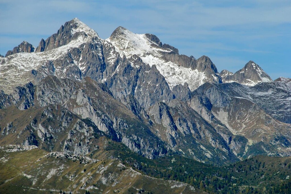
There are two natural parks in the Fiemme Mountains, which I highly recommend. In fact, they are worth coming to separately. Natural parks are specially protected areas with rich and unique flora and fauna. Such parks combine untouched and man-made landscapes which makes them very accessible and yet pristine at the same time.
The Paneveggio or the Pale di San Martino Nature Park aka Parco naturale Paneveggio — Pale di San Martino, the park consists of three parts with diverse flora and fauna: the Pale di San Martino mountain group which is composed entirely of dolomite rock; the Paneveggio spruce forests where, as it is said, Antonio Stradivari himself chose trees for making his violins; and the Lagorai with the most famous lakes of the park, the Colbricon. Here were found the campsite of hunters of the Neolithic era. Another reason to visit the park is the open air complex of deer (Riserva cervi parco di Paneveggio). The park can be explored during walks and bike rides.
![]()
The Trudner Horn Nature Park aka Parco naturale Monte Corno or Trudner Horn Nature Park is named after its highest mountain, Trudner Horn / Monte Corno (2,912 m). It consists of two main parts: the slope facing the Etschtal valley, which is composed of dolomite rock, and the center-eastern part, where the red-brown porphyry is the prevailing rock. Due to the large elevation gap in the park, it also has very diverse flora and fauna. Different types of ponds, lakes and streams, spruce forests cover 80% of the park. It is truly great to walk and ride a bike here.
There are many hiking trails in each of the five mountain subgroups comprising the Fiemme Mountains.
This is a hiking route with a view of the Latemar mountain group and the neighboring mountains Rosengarten and Schlern. On the route, there is one of the most famous lakes in the entire Dolomites, the Carezza (Lago di Carezza), which offers a famous postcard view of the north wall of Latemar Peak. The name labyrinth hints at the intricacy of the route that is actually full of large stones the size of small houses between which you have to wander in search of the right path. The route is suitable for both summer hiking and winter snowshoeing.
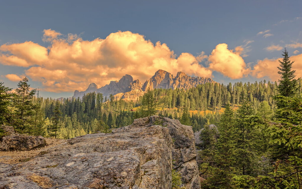
The Panoramic Hike in Nova Ponente / Deutschnofen is a hiking route from the main settlement of the plateau with the same name. It is a walk and a great option for families with children, rather than a real hike. On the way, you will enjoy panoramic views of all the surrounding mountains: Rosengarten, Schlern, and Latemar Peak. A visit to St. Helen Church is also recommended. This edifice is famous in the local area for its high-Gothic frescoes.
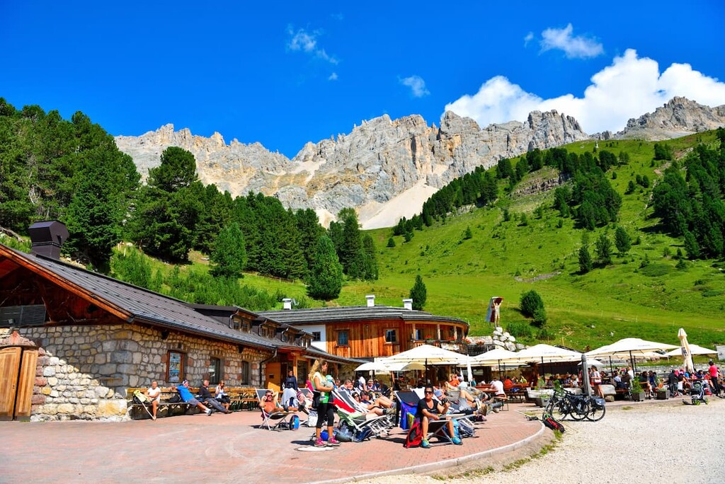
A hiking route through the entire Lagorai mountain range or Catena del Lagorai is called The Translagorai trail. It is legendary and on the checklist of every local outdoor enthusiast. It will take from 5 days to a week to cover the whole itinerary, depending on the level of your fitness and perseverance — yes, the strong will is a prerequisite because the Lagorai differs in its severity, not everyone goes through the whole route. The route is divided into 7 stages of 10—12 kilometers a day. On the way, you can sleep in bivouacs or tents or the few mountain shelters available. This is the wildest area of the Fiemme Mountains, where you can find real adventures.
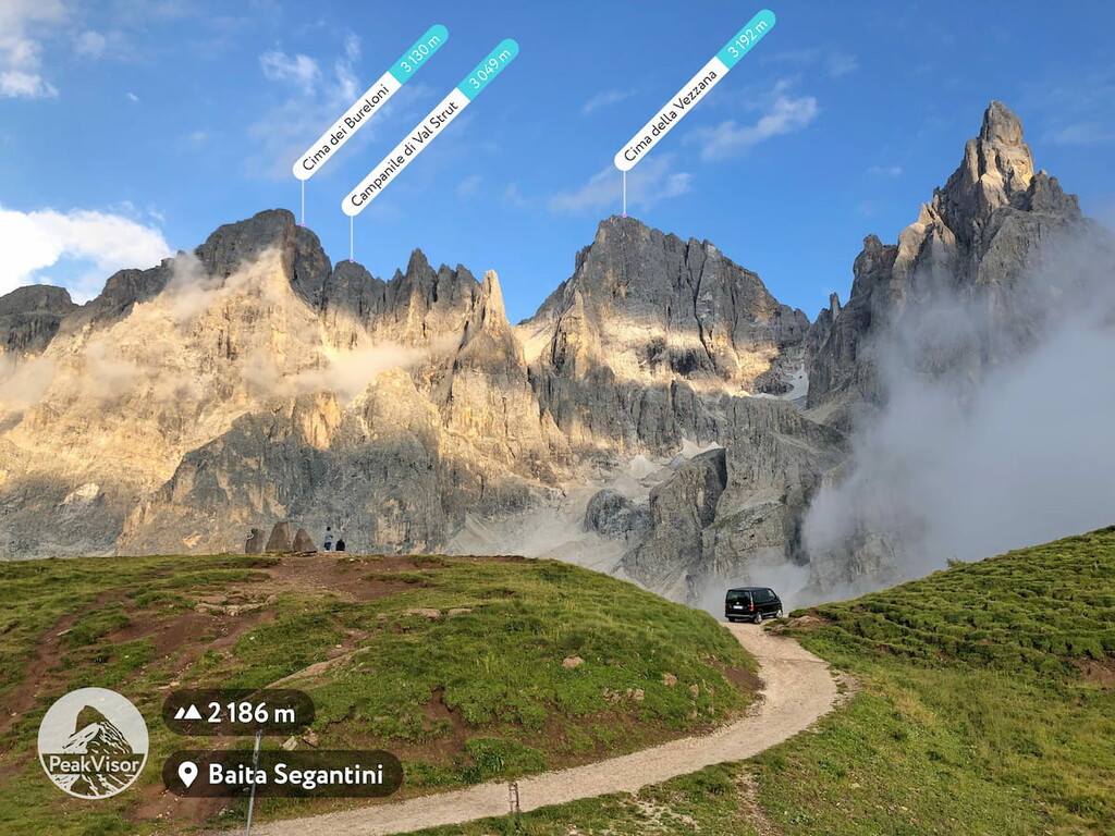
Read this report on Translagorai trail "We’ve been hiking for five days in the rain" from two local outdoor enthusiasts.
Catena Monte Croce — Sette Selle is a hiking route to the main rifugio in the mountain group of the same name at the foot of Cima di Sette Selle (2,396 m). The rifugio is very popular with the locals, there are many tourists here in high season. From here, there is a beautiful panoramic view of the other nearby mountains: Monte Slimber (2,203 m), Cima d'Ezze (2,362 m), Monte Hoamonder (2,196 m). The easy route is suitable for beginners or for those who want to keep their strength for further walks in these and neighboring mountains of the Lagorai.
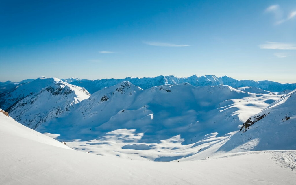
The name means that the trail runs at a high altitude (Alta viadefines a high route in Italian) and the mountains are made of granite. The main attraction of the trail is the mountain of the same name, at the foot of which you can spend the night at rifugio O Brentari at 2,473 m. The route has two official versions: Orange (Giro arancio) and Green (Giro verde), which are slightly different in length and order of stages. On the way, there will be everything that hikers love: cliffs, glacial lakes, spruce forests, farms, and much more.
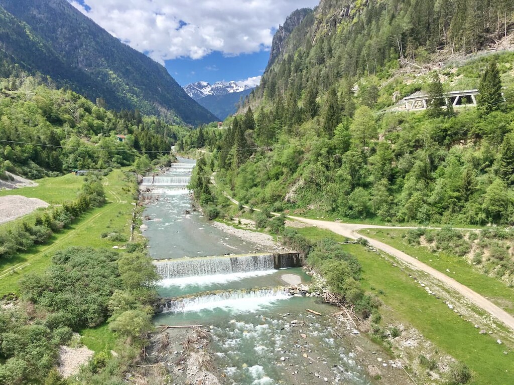
Find out more information about this non-touristic route on the official website.
The Val di Fiemme / Obereggen is one of the 12 ski areas of the world-famous Dolomiti Superski system. There are several smaller ski areas inside it, namely: Ski Center Latemar (Obereggen, Pampeago, Predazzo), Alpe Cermis-Cavalese, Alpe Lusia-Bellamonte, Passo Oclini, and Malga Varena–Passo Lavazè. The total length of the slopes is 112 km (70 mi), of which 37 km (23 mi) are blue / easy, 58 km (36 mi) are red / intermediate and 17 km (11 mi) are black / expert slopes. The number of ski lifts is 50.
Check the Val di Fiemme ski map on the larger Trentino-Alto Adige/Südtirol and Italy ski maps in the World Mountain Lifts section of the site. It includes information about open ski lifts / slopes in the Fiemme Mountains in real-time with opening dates and hours. There are also year-round cable cars, funiculars, cog railways, aerial tramways, and all other types of mountain lifts.
Where to spend the night is the least of your worries when traveling to the Fiemme Mountains. Here you will find accommodation of all kinds: from BnBs and hotels, to huts, campsites and free bivouacs. And, since hiking is the main and most popular outdoor activity in the mountains, I will list the main huts in each of the five groups:
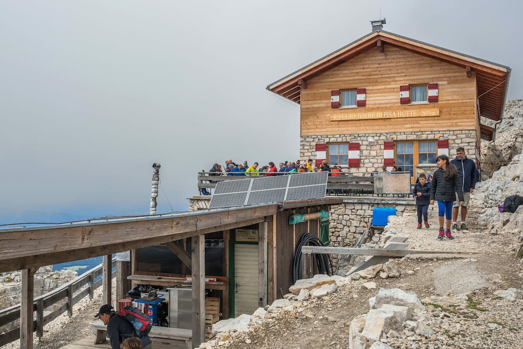
Rifugio Torre di Pisa (2, 671 m)
Season: 15th June — 15th October
Beds: 35
http://www.rifugiotorredipisa.it
Paolina (2,127 m)
Season: 15th June — 20th September, 10th December — 10th April
Beds: 22
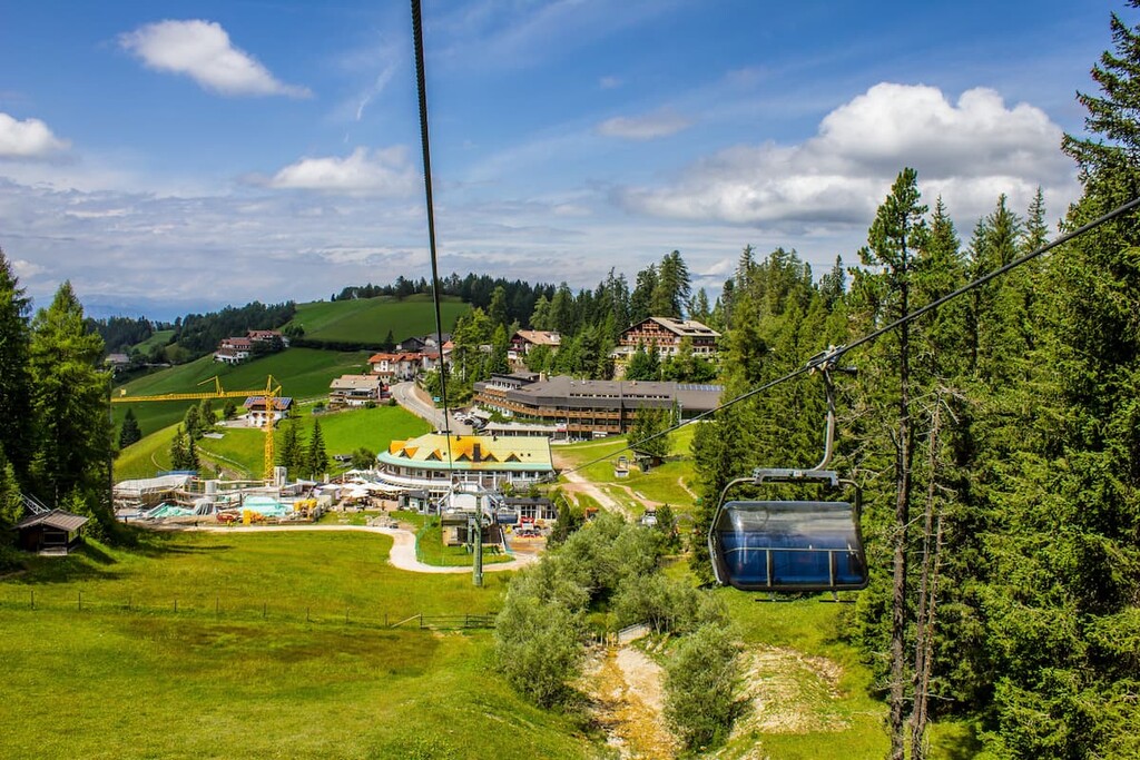
Rifugio Oberholz (2,096 m)
Season: all year round
Beds: only food and living rooms
Chalet Laghi del Colbricon (1,927 m)
Season: 20th June — 20th September
Beds: 3
https://www.sanmartino.com/it/Passo-RolleRifugio-alpino-Laghi-di-Colbricon-3922
Rifugio Cauriol aka Baita Monte Cauriol (1,594 m)
Season: 20th June — 20th September
Beds: 20
https://www.baitamontecauriol.it
Rifugio Refevaie (1,116 m)
Season: 1st May — 1st November, 8th December — sometimes on the weekends and holidays
Beds: 12
http://www.rifugiorefavaie.com
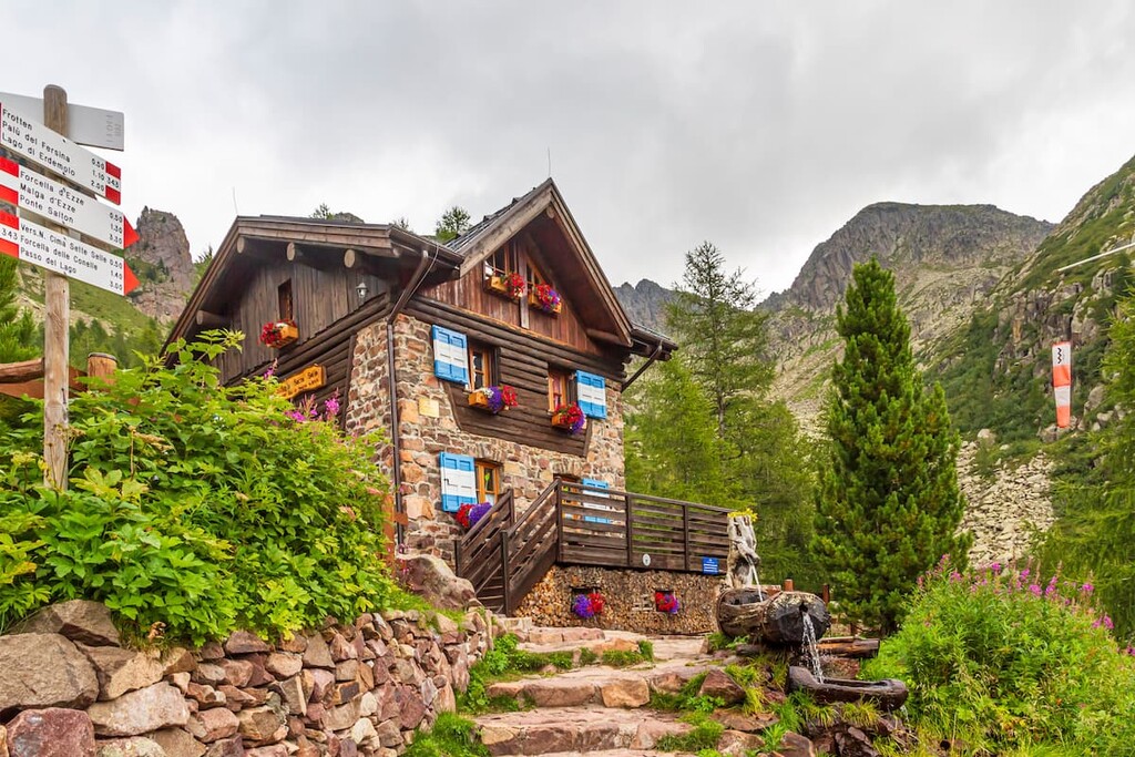
Rifugio Sette Selle (2,014 m)
Season: 15th June — 30th September, 23rd December — 8th January
Beds: 20
http://www.setteselle.altervista.org
Rifugio Serot (1,640 m)
Season: 20th June — 20th September
Beds: 20
Rifugio Ottone Brentari — Cima d’Asta (2,473 m)
Season: 20th June — 27th September
Beds: 56 in summer, 6 in winter
https://www.rifugio-cimadasta.it
Malga Caldenave — Claudio e Renzo (1,792 m)
Season: 20th June — 20th September
Beds: 20
https://www.visittrentino.info/en/scurelle/mountain-hut/caldenave_dr251969
The Fiemme Mountains is a heavily populated area. There are more than 30 different large and medium-sized urban settlements within the mountain group. Interestingly, the largest and most important towns are located on the borders of the mountain group. The border virtually cuts most of the cities in half. The southern part is less populated than the northern part because of the greater number of mountain ranges.
Here are 10 major cities on the borders of the Fiemme Mountains from north to south in a clockwise direction:
Largest city of the autonomous province of Bolzano / South Tyrol. It is its cultural, economic, and political centre. It is also the leader of the tourist market in Italy and one of the leaders in all of Europe. Because of its location, it is called "the gateway to the Dolomites" from the north.
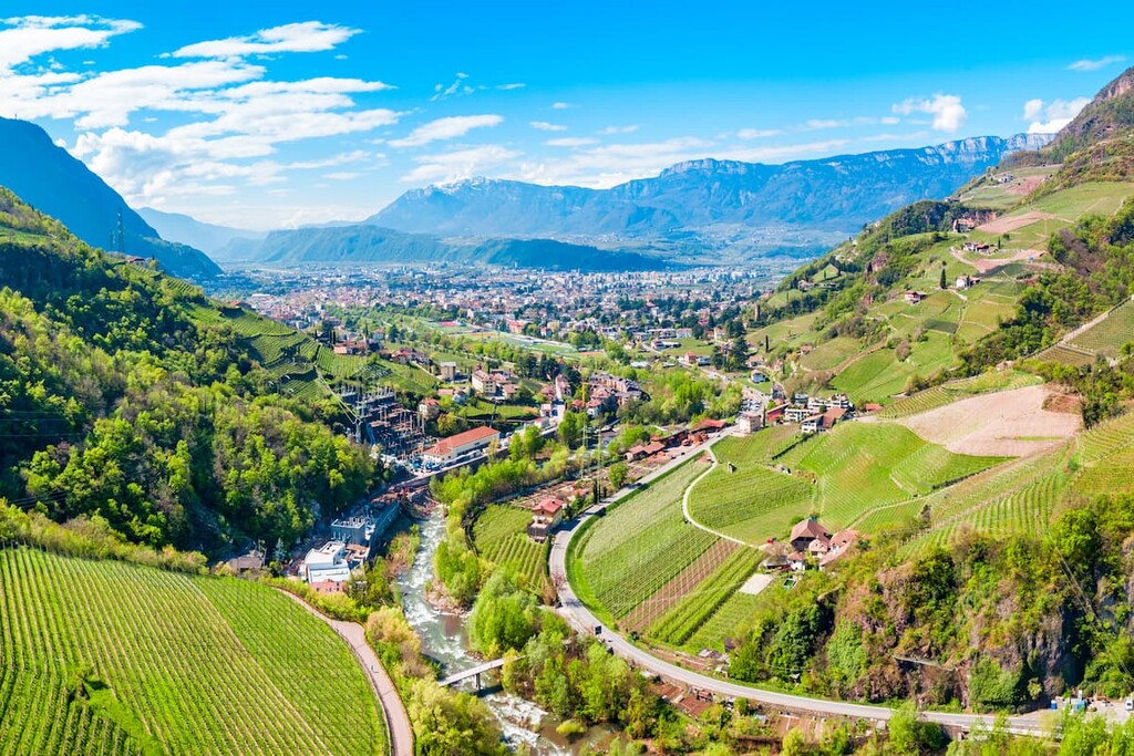
Largest city in the Fiemme valley, located at an altitude of 1,018 meters. However, it is not as industrial as Bolzano and looks more like a typical alpine village, just bigger. The town hosts one of the most important museums in the Dolomites — Museo Geologico delle Dolomiti.

Second most important town in the heart of the Fiemme Valley. From the city, it is very easy to get to various ski slopes. In particular, at an altitude of 2,000 m, there is the quite impressive "Olimpia" 7.5 km long run with an altitude difference of 1,400 m.
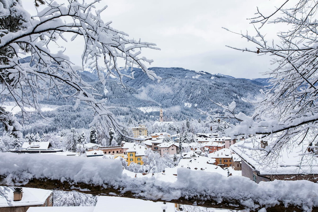
Community consisting of two parts: the first is a ski resort village at 1,400 m and one of the 16 ski areas of the Dolomiti Superski system in the Pale di San Martino, which can be reached by cable cars; the second is a popular summer resort in the Primiero Valley at the foot of the mountains.

Small town in the neighborhood of Fiero di Primiero. It is considered one of the most beautiful villages in all of Italy, belonging to the special association "Borghi più belli d'Italia'' (borgo — a kind of medieval village in Italian), thanks to the preserved historic centre with medieval stone and wooden architecture.

Town with a population of fewer than 3,000 people in the province of Belluno on the picturesque high plateau near the Dolomiti Bellunesi National Park. It is known in the whole north of Italy: the best beans are grown here. It is also located on the famous Via Claudia Augusta Roman road from southern Italy to Germany.

Largest town in the Valsugana Valley south of the Fiemme Mountains. The city is divided into two parts by the full-flowing river Brenta. The town also has many medieval buildings, including the famous church of S. Maria, featuring a marble altar by the famous marble polisher Francesco Corradi.
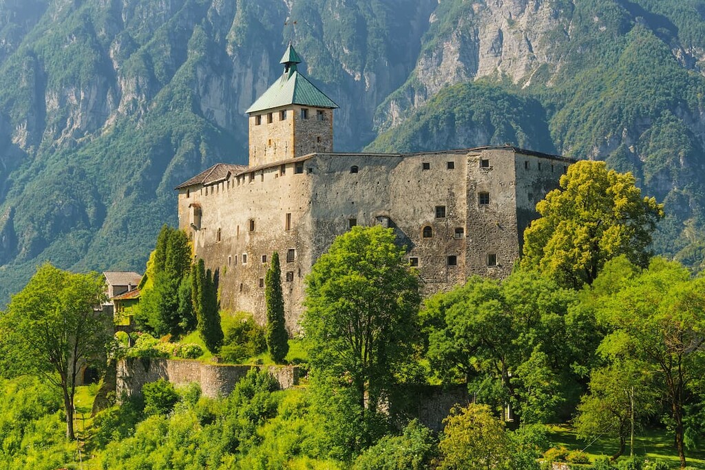
Town with a lot of therapeutic springs rich in arsenic and iron, hence the name. Here you can try balneotherapy, mud baths, and enjoy some inhalation therapy. But this is not the only thing you can try in Levico. There are not one but two big lakes near the city, and of course, the mountains, as everywhere in the Fiemme.
Capital of the autonomous province of Trentino, a city of equal importance in the region together with Bolzano and also one of the leaders in the tourism industry of Italy. In contrast to Bolzano, the city is more Italian in appearance. From Trento to Borgo Valsugana runs one of the few railroads in the mountains.

Town on the way from Trento to Bolzano, 25 km from the latter. It is convenient to make a stop here because back in the times Neumarkt was also a Roman village on the Via Claudia Augusta road. The sightseeing includes the arcades of the old town, the parish church, and the Local Culture Museum.
Other important towns in the interior of the Fiemme Mountains, mainly in the southern part are Imer, Canal San Bovo, Arsie, Castelo Tesino, Miola, Lavis, and Cembra.
In the Fiemme valley, in the north of the Fiemme Mountains, important towns are Tesero, Molina di Fiemme, Castello di Fiemme, Ziano di Fiemme, and Capriana.
Explore Fiemme Mountains with the PeakVisor 3D Map and identify its summits.


