Get PeakVisor App
Sign In
Search by GPS coordinates
- Latitude
- ° ' ''
- Longitude
- ° ' ''
- Units of Length

Yes
Cancel
❤ Wishlist ×
Choose
Delete
The Schlern Group, which is also known as the Sciliar Group in Italian, is one of more than 20 mountain groups in the Dolomites of northern Italy. The main features of the group are its famous high-elevation plateau and its two iconic tower-like peaks, Santner (2,414 m / 7,920 ft) and Euringer (2,394 m / 7,854 ft). The views of the group from Bolzano are particularly magnificent. There are 46 named mountains in the group, the highest of which is Monte Pez (2,563 m / 8,409 ft) and the most prominent of which is Puflatschspitz (2,177 m / 7,142 ft).
Most likely, the name of the Schlern Group means ‘ditch,’ ‘stream,’ or ‘canal.’ It likely comes from the pre-Latin and pre-Germanic word sala.
The name of the range was first mentioned in writing by the famous Austrian poet, composer, and diplomat Oswald von Wolkenstein who traveled extensively in Europe and its surroundings but also happened to live in the nearby town of Seis am Schlern. In von Wolkenstein’s writings, the region was known as Saleren, though the name eventually became Schlern by the eighteenth century.
In German, the group is formally called the Schlerngruppe or Schlernstock. In Italian, the group is known as Sciliar or Massiccio dello Sciliar (Massif of Sciliar), which is a simplified version of the Ladin spelling Sciliër or Schiliáar. The Italian name of the range comes directly from the writings of Ettore Tolomei, an Italian geographer and politician.
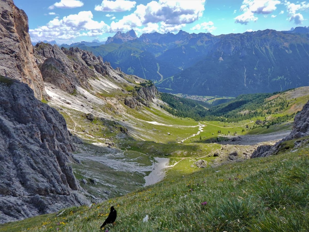
The Schlern Group is located in the western West Dolomites in the Dolomites of northern Italy. The Dolomites themselves are a subrange of the Alps.
To the south, the range borders the Rosengarten / Catinaccio Group. Together they form a single group of large size, which is partially encompassed within the Naturpark Schlern-Rosengarten (Parco Naturale Sciliar-Catinaccio).
This park covers the whole Schlern Group and the northwestern part of Rosengarten. It was founded in 1974, making it the oldest nature park in South Tyrol. It is one of the 10 nature parks in the Dolomites.
To the east of the Schlern, there is the Latemar Group, and to the north, there is the Odle / Geisler Group. The western boundary of the range is the huge Eisacktal / Valle Isarco, which was formed by the river of the same name. On the other side of the valley, you’ll find the Sarntal Alps in the Eastern Rhaetian Alps.
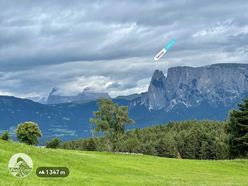
Isarco Valley is not the only valley that surrounds the Schlern. To the south, the range is boarded by the Tierser Tal / Val di Tires and the smaller Tschamintal / Valle Ciamin; to the east, it is bordered by the Durontal / Val Duron; and to the north, it is bordered by the Gröden / Val Gardena, which is one of the five traditionally Ladin valleys.
There are several hikeable mountain passes in the range, including Mahlknechtjoch (2,168 m / 7,113 ft), Forcella Denti di Terrarossa, and Alpe di Tires. It is important to highlight these passes because they mark the boundaries of the Schlern Group in the southeast, where the range borders the Rosengarten Group.
Finally, in terms of administrative geography, this Schlern Group belongs to South Tyrol, one of the two provinces of the Trentino-Alto Adige / South Tyrol region. It encompasses a number of large municipalities, such as Atzwang / Campodazzo, Tiers / Tires, and St. Ulrich in Gröden / Urtijëi.
The easiest way to get to the Schlern Group is to go to Bolzano. The range is located just to the northeast of Bolzano, so it’s easy enough to get to from the city itself.
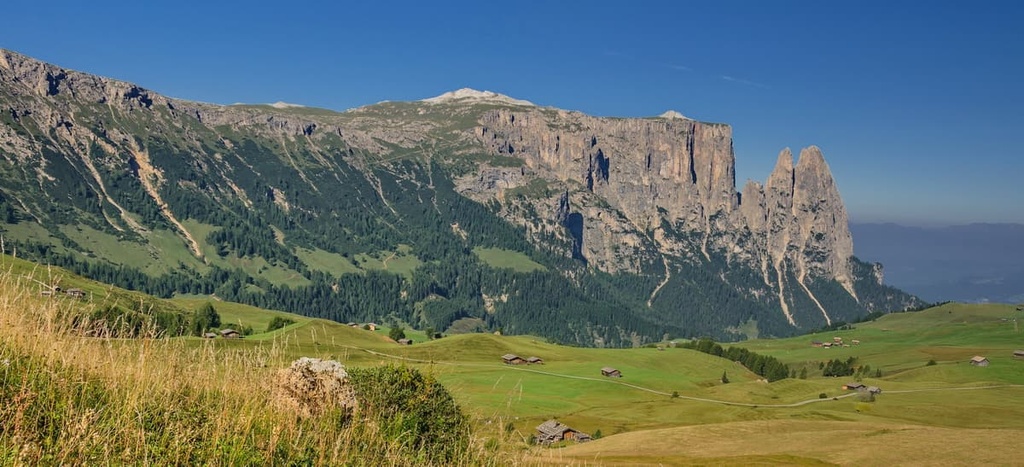
If you’re traveling from the southeast, such as from cities like Venice, Belluno, and Cortina d'Ampezzo, it takes longer to get to the Schlern Group. However, the advantage of such a route is that it gives you time to see many of the other groups in the Dolomites, including the high peak of Marmolada (3,342 m / 10,964 ft). If you are in no hurry and have an extra day for such a trip, this is what I recommend.
If you’re traveling from the north (such as from Innsbruck in Austria), the closest major city to the borders of the group is Klausen. The city of Klausen is situated just to the north of the range, so it’s a great base for your adventures.
Geologically, the Schlern Group is known primarily for its high concentration of Schlern dolomite / Sciliar dolomite, which is one of several types of the mineral dolomite. It can be found in other groups, too, such as in Latemar and the more distant Civetta, as well as in the Carnic Alps in Austria.
Geologists have also uncovered many unique fossils here, including daonella, fedaiella, and zygopleura, among others.
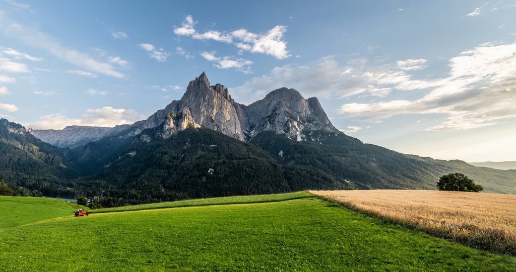
For this reason, alongside Rosengarten and Latemar, the Schlern Group is one of the nine major subranges in the Dolomites according to UNESCO. In fact, the Schlern Group is officially part of the Dolomites UNESCO World Heritage Site.
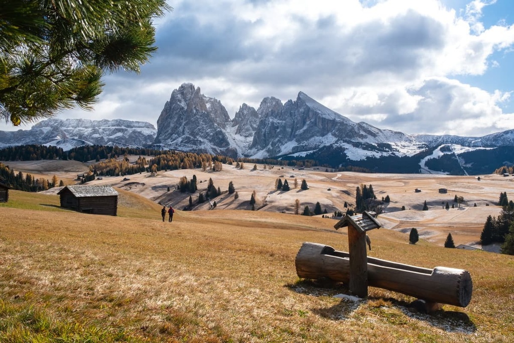
In addition to the mountains, which will be discussed below, and the valleys and passes that have already been mentioned, the main feature of the Schlern Group landscape is undoubtedly the Siusi Alps (Seiser Alm in German and Alpe di Siusi in Italian).
The Siusi Alps is the largest high-elevation Alpine meadow in Europe, and it is located to the north of the group. The plateau is so wide that it takes up more than half of the area of the Schlern Group. It is approximately 52 sq. km (20 sq. mi) in area.
From the Alpe di Siusi, you can see, not only the Schlern Group, but also other mountain groups like Langkofel / Sassolungo, Rosengarten / Catinaccio and more the distant Geisler / Odle, Sella Group, and Marmolada. The minimum and maximum elevations of the meadow are 1,700 m (5,600 ft) and 2,350 m (7,709 ft), respectively.
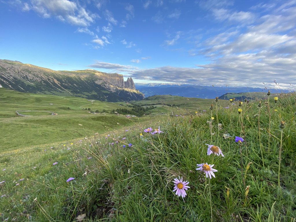
The Siusi Alps are divided into many separate land plots that you can’t actually see with the naked eye. But each of these plots is used by local farmers for grazing cattle and growing hay. At the same time, the area is very rich in infrastructure for the summer and winter tourism industries, so it’s a great place to visit if you’re in the area.
The Schlern Group is one of more than 20 mountain groups in the Eastern Alps according to the German-Austrian Alpine Club (AVE) classification system. In this system, the Schlern Group is part of the Dolomites of the Southern Limestone Alps.
According to the AVE classification system, the Schlern Group is also divided into the following subgroups:
In the second most common classification of the Alps, the Italian SOIUSA, the Schlern Group is considered to be a separate group called Massiccio dello Sciliar.
The SOIUSA system classifies the Schlern Group as part of the Dolomiti di Fassa supergroup of the Dolomiti di Gardena e di Fassa subsection of the Alpi Sud-orientali (the Southeastern Alps) within the Eastern Alps. The Dolomiti di Fassa also includes Rosengarten / Catinaccio, Marmolada and Cima di Bocche.
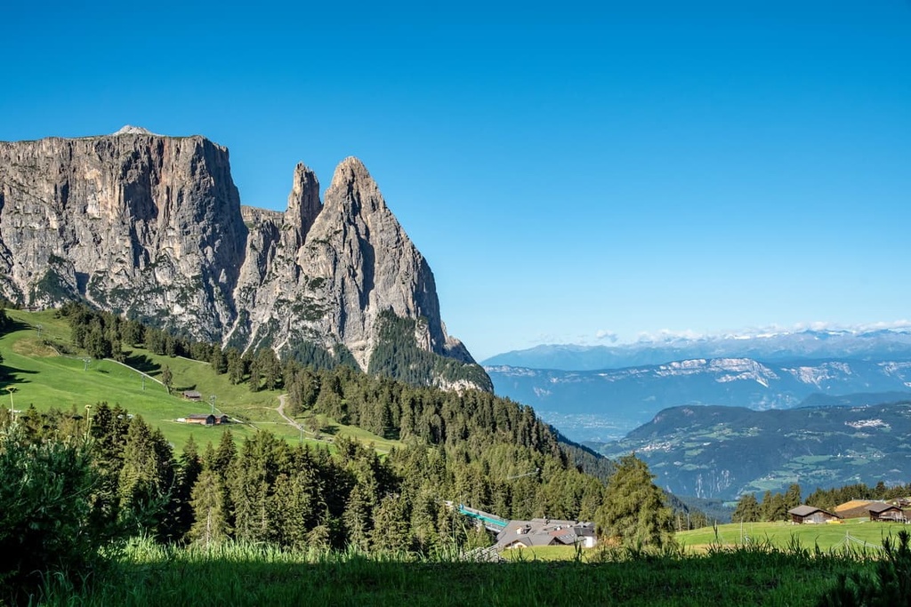
In the SOUISA system, the range is considered a separate group under the name Gruppo dell Alpi di Siusi in Italian, and it belongs to the Dolomiti di Gardena section. It is also divided into a number of subranges, including:
But, of course, the Schlern is not known for its place in a classification system, but for its individual peaks. Here’s a quick look at some of the most important peaks in the range.
Monte Pez (2,563 m / 8,408 ft) is the highest peak of the Schern Group, and it is located in the center of its high-elevation plateau. This pyramid-shaped peak protrudes very unusually right out of the plateau, breaking its almost perfectly flat landscape.
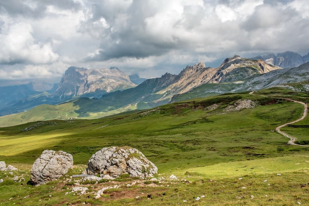
Cima Castello / Burgstall (2,515 m / 8,251 ft) is a remarkable peak that’s located to the north of Monte Pez between it and the two famous peaks of Punta Santner / Santnerspitze and Euringer / Euringerspitze.
Cima Castello / Burgstall is mostly a large and flat mountain, but it also has a small peak that’s shaped like a pyramid. The mountain is also very large, which is how it got the name Castello, which means ‘castle.’ It is one of the symbols of the group alongside Monte Pez, Punta Santner / Santnerspitze, and Euringer / Euringerspitze
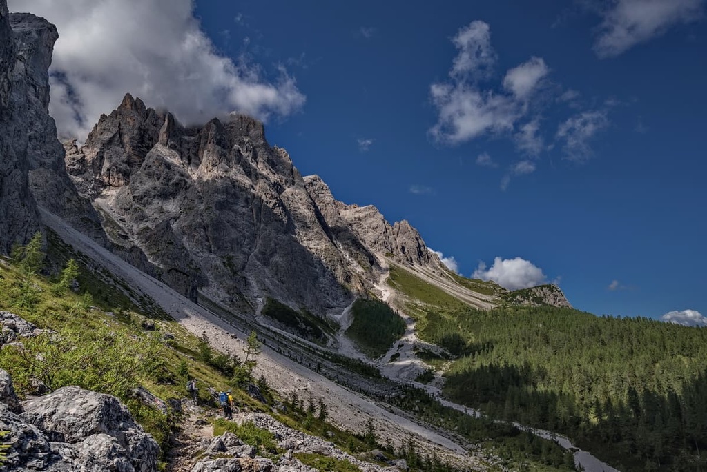
Punta Santner / Santnerspitze (2,414 m / 7,919 ft) is a small but famous peak in the Schlern Group that is located on the northern tip of the range. It looks like a tower pointing up into the sky.
Additionally, the peak is separated from the plateau by a deep inner valley. The mountain is the symbol of the group, and it was first climbed in July 1880 by the famous Tyrolean climber Johann Santner, so it is named in his honor. Santner is also considered to be the father of Tyrolean mountaineering.
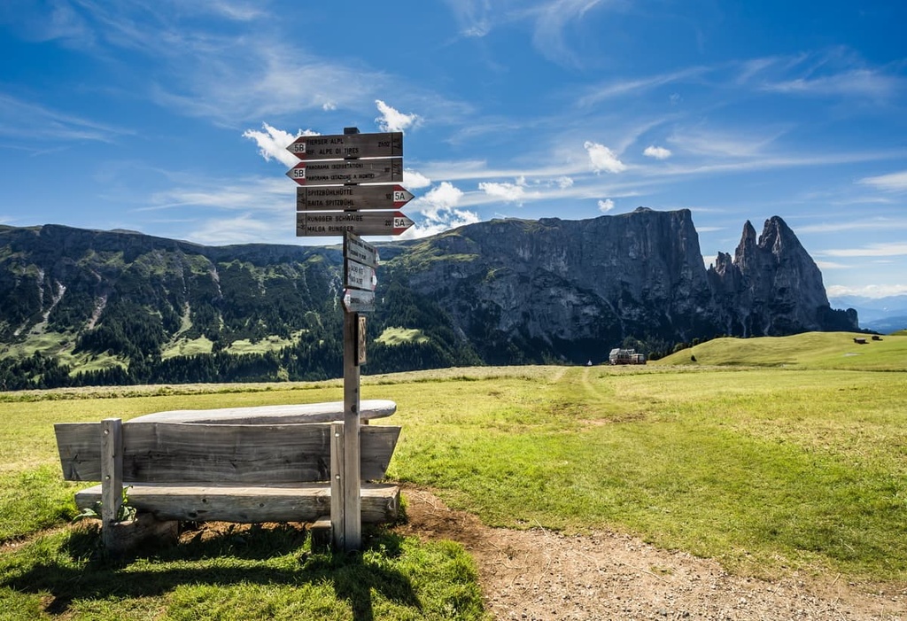
Euringer / Euringerspitze (2,394 m / 7,854 ft) is a peak located near Punta Santner / Santnerspitze. It is slightly lower in elevation than Punta Santner / Santnerspitze, but Euringer / Euringerspitze is famous nonetheless.
As is the case with Punta Santner, Euringer was named after the first alpinist who climbed it, Gustav Euringer, who made the first ascent of the peak alongside G. Battista Bernhard.
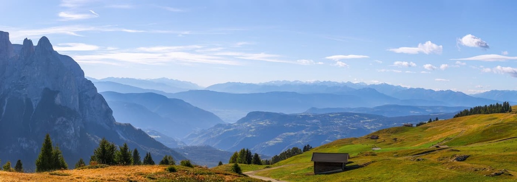
Gabels Mull (2,390 m / 7,841 ft) is a peak located to the northwest of Monte Pez. It has a distinctive shape so it’s hard to miss, even if you’re on the Seiser Alm.
Schlern / Sciliar (2,450 m / 8,038 ft) and Jungschlern / Piccolo Sciliar (2,283 m / 7,490 ft) are the two mountains located next to Gabels Mull. The name of the group in both German and Italian comes from the name of this peak.
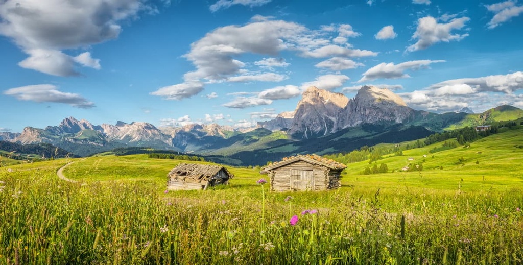
Cima di Terrarossa / Roterdspitze (2,655 m / 8,710 ft) and Gran Dente di Terrarossa / Große Rosszähn (2,653 m / 8,704 ft) are two peaks organized in a long ridge along many other summits. This ridge is located in the southeastern part of the Schlern Group on the border with the Rosengarten / Catinaccio Group.
The name of Denti di Terrarossa / Rosszähne translates as ‘Red Land’ or ‘Horse Teeth.’ To some degree, these are fitting names for the range as the mountains do look a bit like teeth from a distance and the rock color makes the ridge appear to be somewhat reddish in hue.
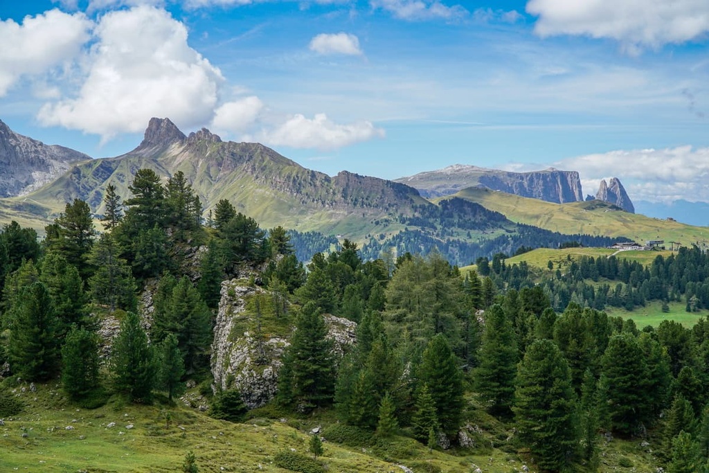
The two main hiking areas of the Schlern / Sciliar Group are the two plateaus themselves: the Schlern plateau and the much bigger Seiser Alm / Alpe di Siusi.
You can easily get from one plateau to the other thanks to the region’s extensive system of trails. In total, there are 450 km (279 mi) of hiking paths in the Siusi Alps. Many trails in the range begin in the nearby towns of Völs am Schlern and Seis am Schlern.
A difficult and interesting option for adventure in the Schlern Group is to climb to the top of Monte Petz (Monte Pez).
You can reach the summit via the Forcella Denti di Terrarossa and rifugio Alpe di Tire, which is located at the border with the Rosengarten / Catinaccio Group. This trail travels along the crest of the mountain range and it offers great views of the region.
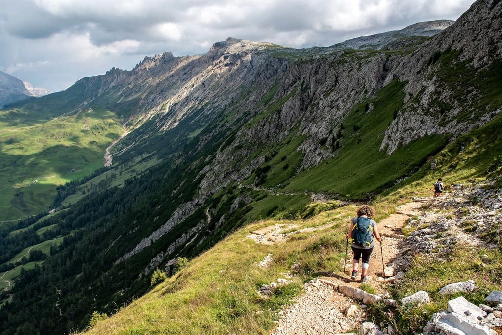
If you’re looking for slightly easier hikes, check out either Val Ciamin or Val Duron. These valleys host a slew of family-friendly trails for visitors to enjoy.
Another great option is the trail from the village of Umes / Ums to Prügelsteig, which takes you through a dense forest and a rugged canyon. Or, you can venture to one of the region’s many scenic lakes, which includes Laghetto Fiè / Völser Weiher, Lago Superiore di Fiè, Laghetto Gfierer, and Salmseiner Weiher.
To create a longer hike in the Schlern Group, you can easily link together any of the range’s shorter trails. For example, from Völser Weiher Lake, there is a point-to-point trail to the Prügelsteig, from where you can make a great 15 km (mi) loop to the Schlern / Sciliar. This hike has an elevation gain of 1,673 m (5,488 ft) and most people complete it within about 6 hours.
This trail is also part of the famous multi-day Via Alpina route through the Alps. The Via Alpina actually crosses the Schlern-Rosengarten Nature Park in this part of the Dolomites.
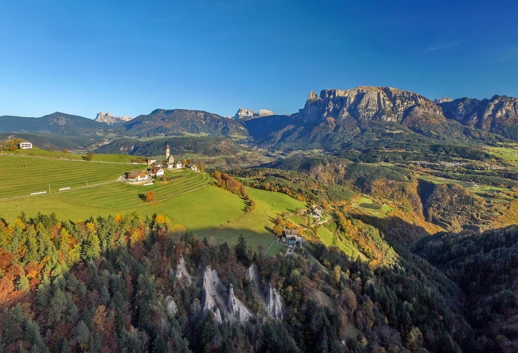
If you’re interested in coming to the Schlern Group in winter for skiing, you will not be disappointed. That’s because Seiser Alm / Alpe di Siusi is one of the 12 ski areas in the Dolomiti Superski system.
At the Seiser Alm / Alpe di Siusi resort, there are 62 km (38.5 mi) of runs of all difficulty levels and 20 ski lifts. For children, there is also a Snow Park with 1.5 km (0.9 mi) of trails and 70 fun obstacles.
You can get real-time updates on what slopes and ski lifts are open at Seiser Alm / Alpe di Siusi on the World Mountain Lifts section of the PeakVisor site. On this page, you can also get information for resorts elsewhere in Trentino-Alto Adige / Südtirol and the rest of Italy, as well as in more than a dozen countries across the globe.
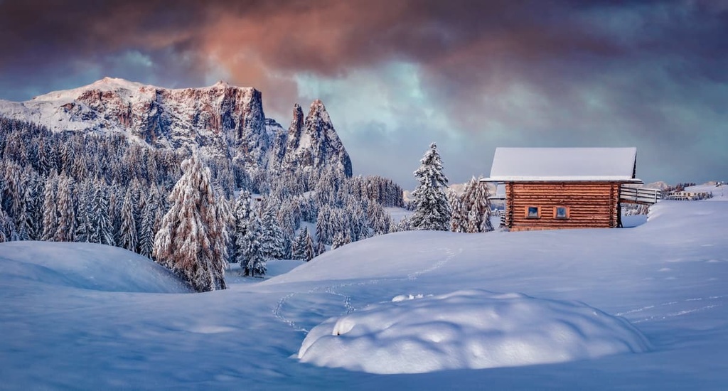
While hiking in the Schlern Group and Schlern-Rosengarten Nature Park, be sure to visit the official tourist centers of the Seiser Alm region. At these info points, you can find out more information about the region and pick up maps and brochures to help you with your travels through the Dolomites.
You can also visit the Schlern-Rosengarten Nature Park Visitor Center. The visitor center has an incredibly beautiful exhibit that showcases the geology, ecology, and human history of the region.
Tourist office Seiser Alm
Compatsch, 50, 39040, Seiser Alm / Alpe di Siusi, BZ, Italy
Monday to Friday: 8 am to 6 pm, Saturday: 9 am to 13 pm, closed on public holidays
+390471727904
Schlern-Rosengarten Nature Park Visitor Center
O. v. Wolkenstein Square, 6, 39040, Seis am Schlern, BZ, Italy
General opening times: Monday to Friday: 8 am to 5 pm, Saturday: 9 am to 12 pm, closed on public holidays
+390471708110
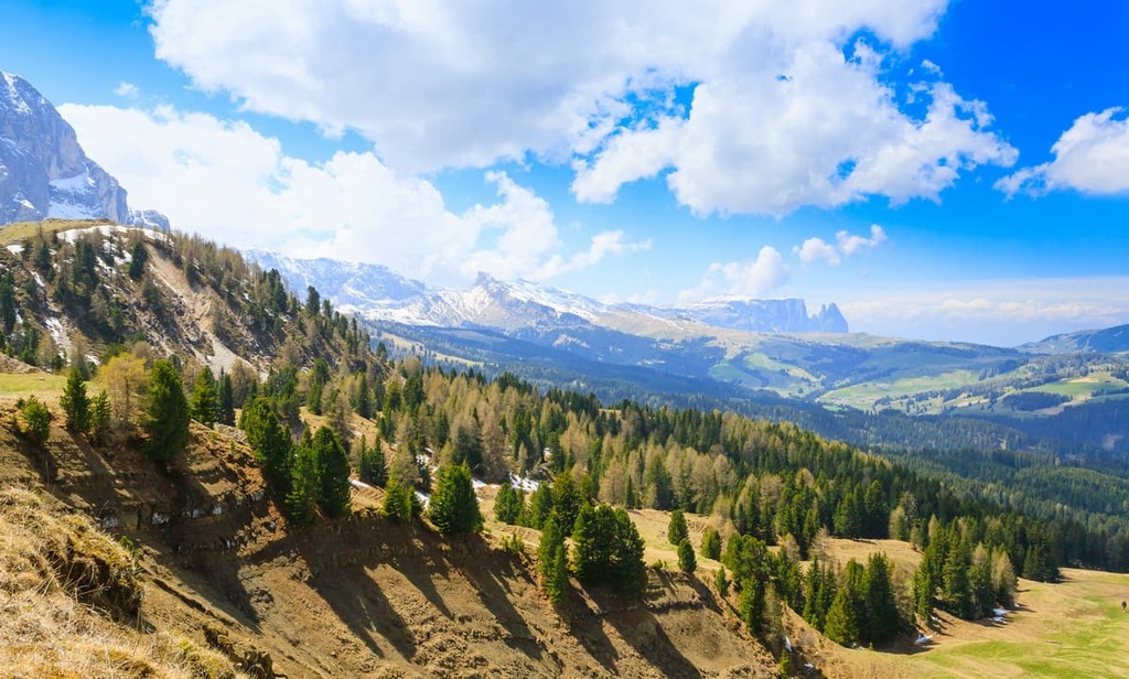
When hiking in the Schlern Group, you can stay overnight in one of several mountain huts, which are called rifugio or malga in Italian and Hütte in German.
But be careful: some of the rifugios in the Schlern Group operate only as restaurants and they don’t offer lodging. With that in mind, here are the top ten rifugios in the range that offer accomodation for you to choose from during your next adventure to the region:
All of these huts are great, but, in my opinion, Rifugio Alpe di Tires / Tierser-Alpl-Hütte deserves a special mention.
The rifugio Alpe di Tires is situated on the pass of the same name, Alpe di Tires Pass, at an elevation of 2,440 m (8,005 ft). As a result, many hiking trails pass through the area. You will likely make your way to the pass anyway as you hike from the Schlern to the Langkofel and Plattkofel, or from the Seiser Alm to the Rosengarten Group.
The rifugio Tierser Alpl is an old rifugio that was built in 1963 by local resident Max Aichner of Tiers / Tires. Aichner bought a piece of land from the municipality in the 1960s in order to realize his dream of building a shelter for hikers in the mountains. It has been run by his daughter and her husband for the past 30 years.
It was modernized in 1997 and again in 2015. The rifugio is all-new now, and it features a more modern interior design with a lot of wood paneling. It has rooms for two, three, four, six, or eight people with prices starting from €52 per person for bed and breakfast and €78 for half-board with dinner.
The Schlern Group is literally surrounded by cities, towns, and resorts on all of its borders. The largest of these towns include Bolzano and Klausen, which are located on the western sides of the range.
Among the smaller settlements in the region, two stand out among the rest. These are Völs am Schlern / Fié allo Sciliar and Seis am Schlern / Siusi allo Sciliar, the latter of which is commonly referred to simply as Seis / Siusi.
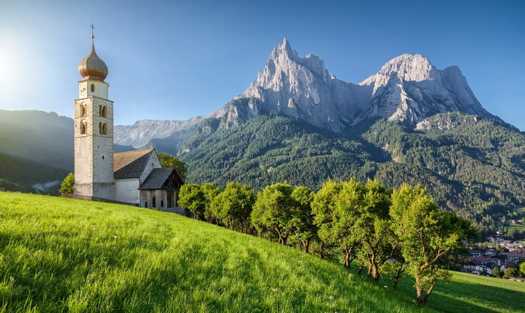
Völs am Schlern / Fié allo Sciliar is slightly smaller and it is located 12 km (7.4 mi) away from Bolzano at an elevation of 880 m (2,887 ft). Seis / Siusi is located about 25 km (15.5 mi) from Bolzano at an elevation of 1,004 m (3,293 ft).
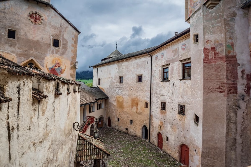
The main architectural and cultural attraction of Völs am Schlern is the Prösels Castle (Schloss Prösels / Castello di Presule)—a picturesque castle built in the Gothic style. Its permanent displays include a collection of weapons and suits of armor, a collection of paintings of the “Batzenhäusl” restaurant (the oldest restaurant in Bolzano), and a modern art collection.
There are also several churches in Völs am Schlern, including two with tall towers: Chiesa di San Giovanni Battista and Chiesa di Santa Maria Assunta. Another notable church in the town is the Chiesa di San Costantino.
Siusi / Seis is known above all for being home to the station that runs the cableway to the Siusi Plateau. However, those who use the town only as a transit point to the plateau are missing out on the awesomeness of the town itself.
Just like in Völs am Schlern, there are several old churches in Siusi / Seis, including the Chiesa di Santa Croce and the Chiesa di Santa Maria Ausiliatrice. You can also find the ruins of three medieval castles in proximity to the village: Castel Salego, Castel Rovereto, and Castelvecchio.
In addition to the above-mentioned towns, there are two more important resorts in the region around the range: Tiers am Rosengarten / Tires al Catinaccio to the south of the Schlern Group and Kastelruth / Castelrotto to the north. Tiers am Rosengarten / Tires al Catinaccio is actually included in the list of the most beautiful villages in Italy (Borghi più belli d'Italia), thanks to its historic town center.
Explore Schlern Group with the PeakVisor 3D Map and identify its summits.


