
Scan the QR code and open PeakVisor on your phone
The Beaverhead Mountains include 93 named peaks. The highest is Scott Peak at 3,474 m. Other notable peaks include Webber Peak, Eighteenmile Peak and Italian Peak.
Sharp and jagged, the Beaverhead Mountains are a chain of peaks straddling the Continental Divide in the central part of the US state of Idaho along its border with Montana. The Beaverheads contain 78 named mountains, the highest and most prominent of which is Scott Peak (11,401ft/3475m).
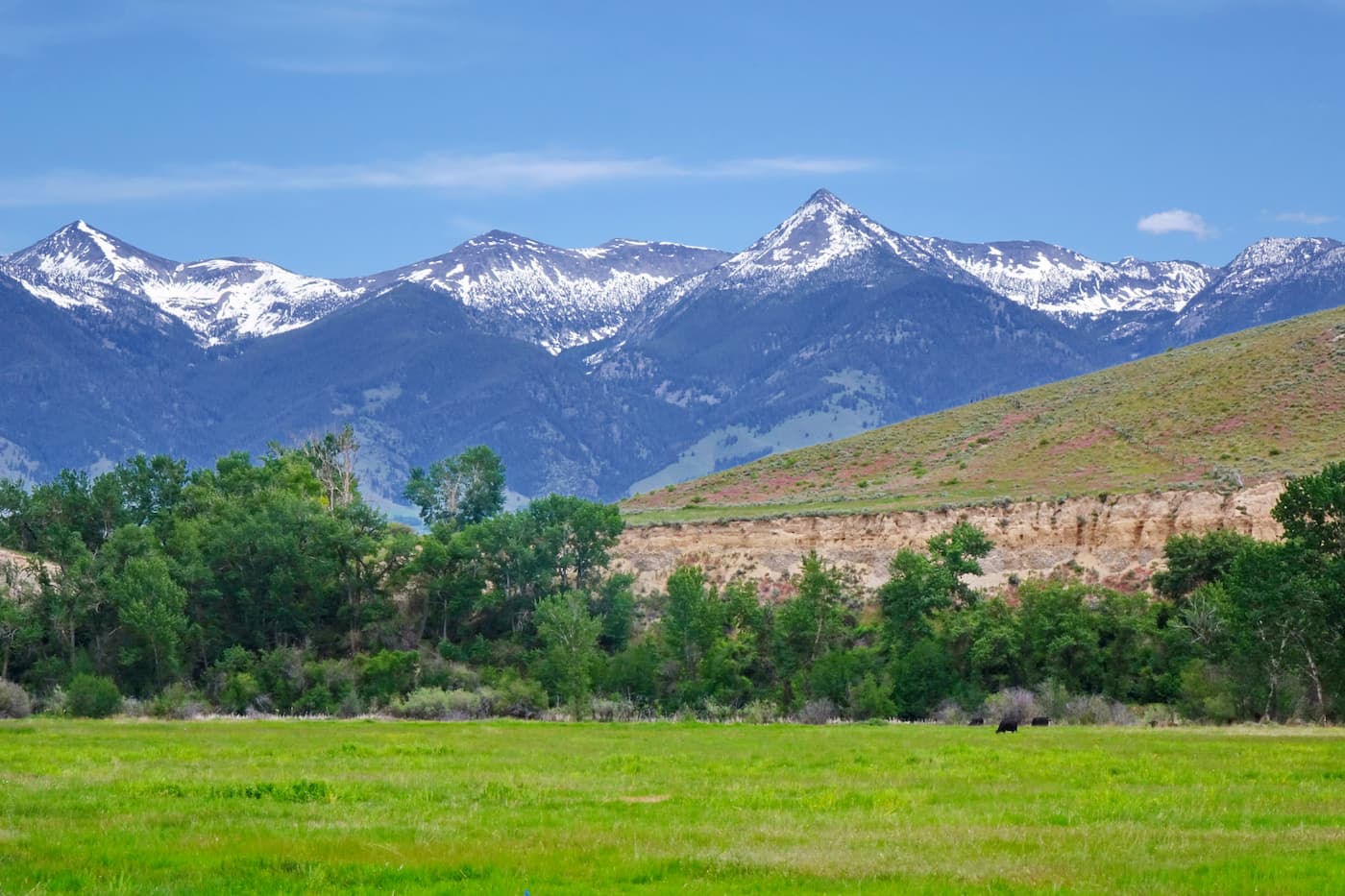
Situated in central Idaho, along the state’s border with Montana, the Beaverhead Mountains act as a natural boundary between Beaverhead County in Montana and both Lemhi and Clark Counties in Idaho. The range covers some 4,532 square miles (11,738 sq. km) of land and is located to the southwest of the city of Bozeman.
Due to their location along the Idaho/Montana border, the Beaverhead Mountains are located amongst a patchwork of publicly and privately owned land. Parts of the range are included within the Beaverhead-Deerlodge National Forest in Montana as well as the Salmon-Challis National Forest in Idaho.
To the north of the range is the Bitterroot National Forest, the Nez Perce National Forest and the Selway-Bitterroot Wilderness. The West Pioneer Wilderness Study Area is located to the east of the Beaverheads while Payette National Forest and Boise National Forest are situated to the east.
The Beaverhead Mountains terminate in the low lying valley that’s home to the city of Idaho Falls and the Craters of the Moon National Monument and Preserve. This valley separates the range from the famed peaks of the Teton Range in Grand Teton National Park and Bridger-Teton National Forest as well as the peaks in Caribou-Targhee National Forest and the Wind River Range in Wyoming.
The Beaverhead Mountains are part of the Idaho-Bitterroot Rocky Mountains, which cover much of northern and central Idaho, as well as a substantial portion of western Montana. They are located to the west of the Central Montana Rocky Mountains and to the northwest of the Greater Yellowstone Rockies.
Often thought of as a sub-range of the Bitterroot Range, the Beaverhead Mountains share much of their geologic history with other nearby ranges. As a part of the greater Rocky Mountains, which stretch from northern New Mexico into the provinces of Alberta and British Columbia in Canada, the Beaverheads formed some 80 million to 55 million years ago during a mountain building event known as the Laramide orogeny.

During this time, a handful of small plates subducted under the larger North American Plate, creating a long chain of mountains that exist to this day. The range was covered by extensive glaciation during the Pleistocene, which helped to carve out many of the region’s unique geological features.
Major peaks in the Beaverhead Mountains include Scott Peak, Webber Peak, Eighteenmile Peak, Italian Peak, Homer Youngs Peak, and Garfield Mountain.
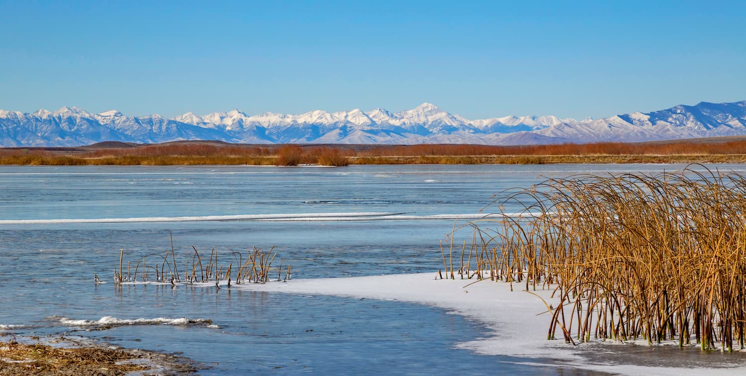
The crest of the Beaverhead Mountains forms part of the Continental Divide. It also greatly affects the ecology of the regions on either rides of the range.
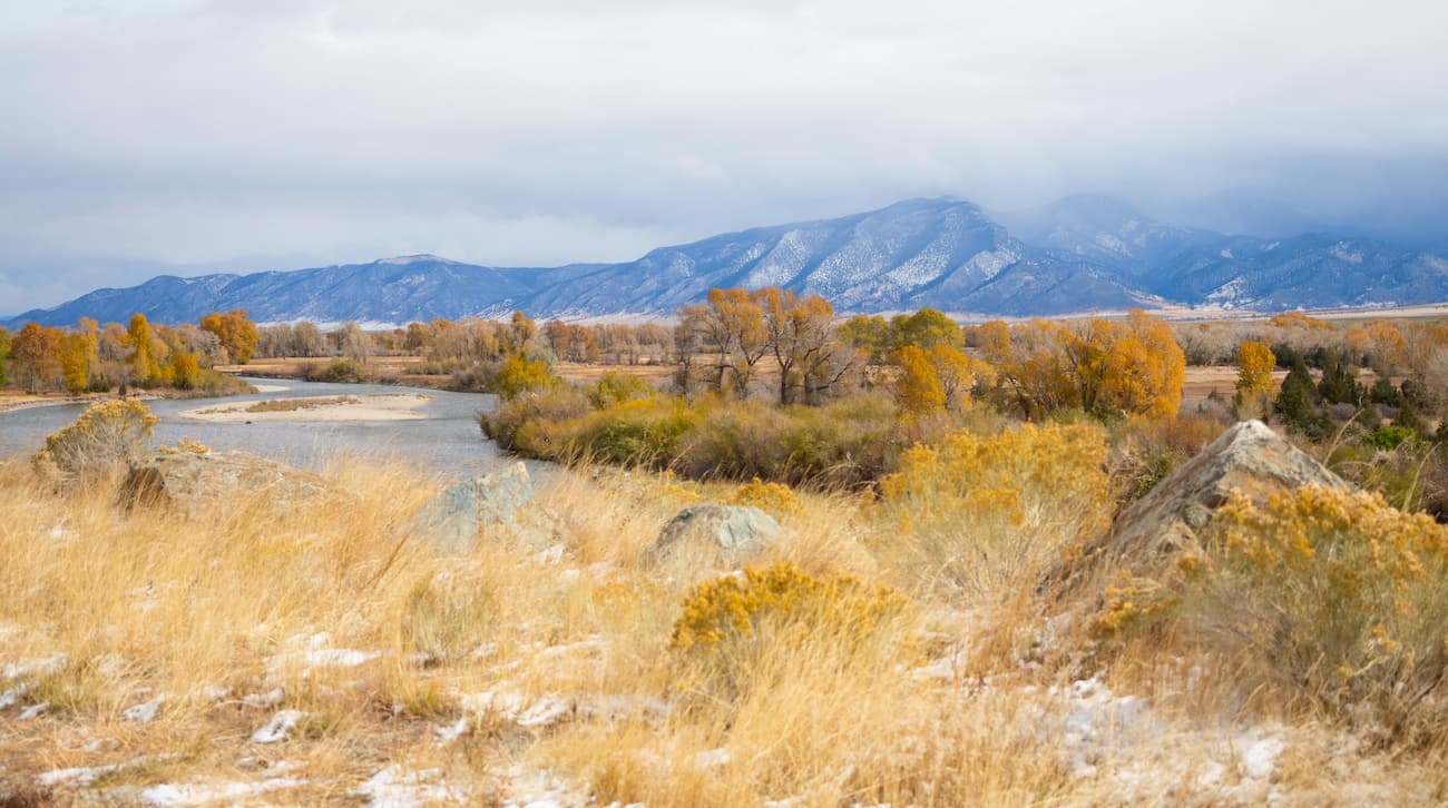
On the Idaho side of the Beaverheads, the climate is generally drier with more rugged peaks. Alternatively, on the Montana side, the terrain is covered mostly by coniferous forest, quaking aspen, and sagebrush grassland.
These distinct ecological areas have had an impact on the wildlife of the area. Interestingly, the region is home to a large herd of elk that generally spends its summers in Montana and its winters in Idaho.
The wetter conditions on the Montana side of the range also create some prime moose habitat. Throughout the Beaverheads, there are mountain goats, bighorn sheep, black bears, lynx, mule deer, martens, pronghorn, and golden eagles.
As is true with much of Idaho and the rest of the Rocky Mountains, the Beaverhead Mountains have been home to humans for thousands of years. Groups, such as the Shoshone, Flathead Salish, Crow, Bannock, and Nez Perce, among countless others, have called the region home for millenia.
The Beaverhead Mountains became known to European and European-Americans around the time of the Lewis and Clark Expedition of the early 19th century. In fact, Lemhi Pass, which cuts more or less through the middle of the range, was critical to the expedition because it allowed them to cross the Continental Divide with relative ease.
Lemhi Pass had been used by the Lemhi Shoshone, the Blackfeet, and countless others for generations as a passageway through these rugged mountains. When the Lewis and Clark Expedition crossed the pass, they likely became the first Europeans or European-Americans to reach Idaho.
Some many years later, the pass was also used by stagecoaches and large groups of miners who traveled to the region in search of wealth and prosperity. By 1910, however, when the Gilmore and Pittsburgh Railroad built a track through nearby Bannock Pass, Lemhi Pass fell out of regular use. Only three decades later, the railroad was abandoned as travelers found other ways to cross the Continental Divide.
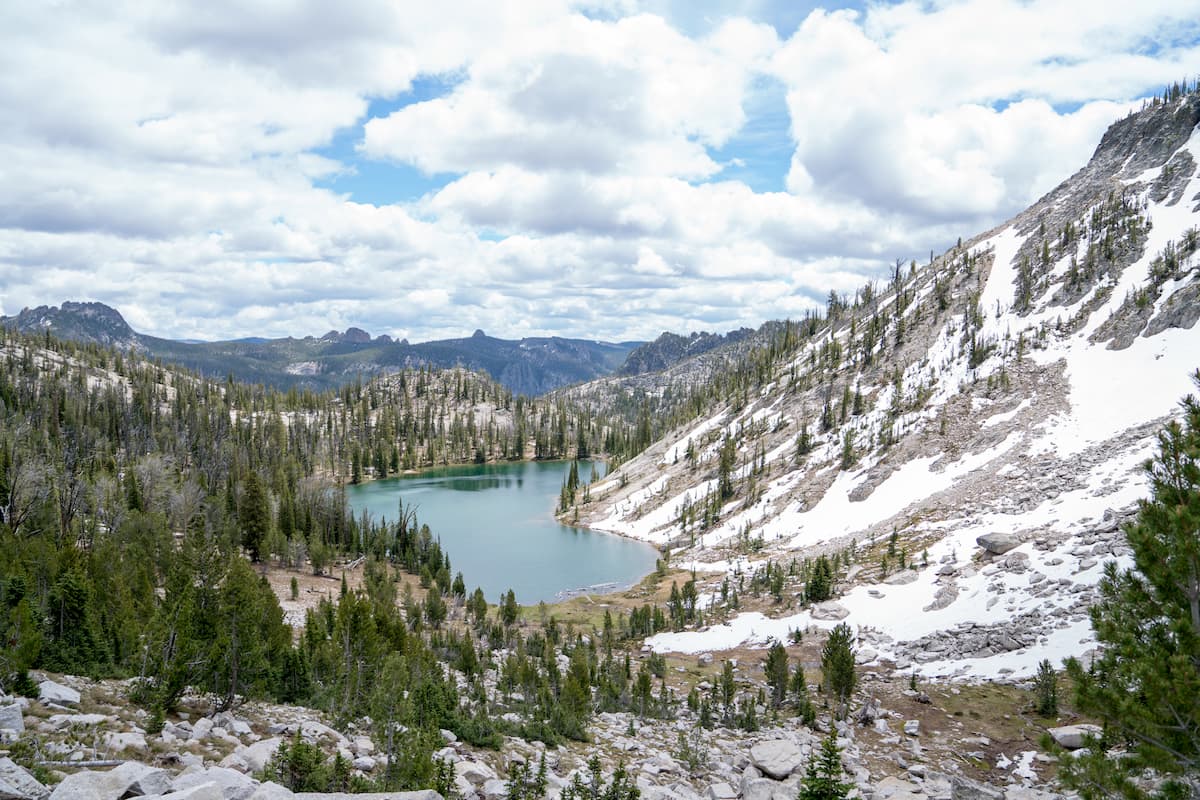
These days, the Beaverhead Mountains are mostly roadless, which makes them a great option for outdoor recreation.
The Beaverhead Mountains see relatively little foot traffic, thanks to the popularity of the nearby Bitterroot Range and Glacier National Park. However, if you’re in search of a remote adventure with few crowds, then the Beaverheads are a sure bet. Here are some great hiking areas to check out:
This 12.2 mile (19.6km) round-trip overnight hiking trip offers alpine meadows, expansive views, and glistening lakes. It follows Trail 187 for a short distance past Miners Lake Campground before reading Kelly Lake.
Then, after climbing up the Kelly Creek drainage, the path takes hikers to a saddle near Heart Lake, where there are ample opportunities for camping. For even more fun, a moderate uphill and off-trail hike up class 2 talus provides great views of the Continental Divide from Homer Youngs Peak.
This 6.7 mile (10.8km) hike starts on a little-used trailhead off of Peterson Lane near the town of Jackson, Montana. After leaving the trailhead, there is a moderate hike up to Ajax Lake, which offers fantastic fishing for cutthroat and lake trout.
From there, the route to the summit follows along a scree field to a saddle before climbing the final portion up to the summit of Ajax Peak for excellent vistas of the surrounding area.
Here are some of the best places to stay before or after your trip into the Beaverhead Mountains:
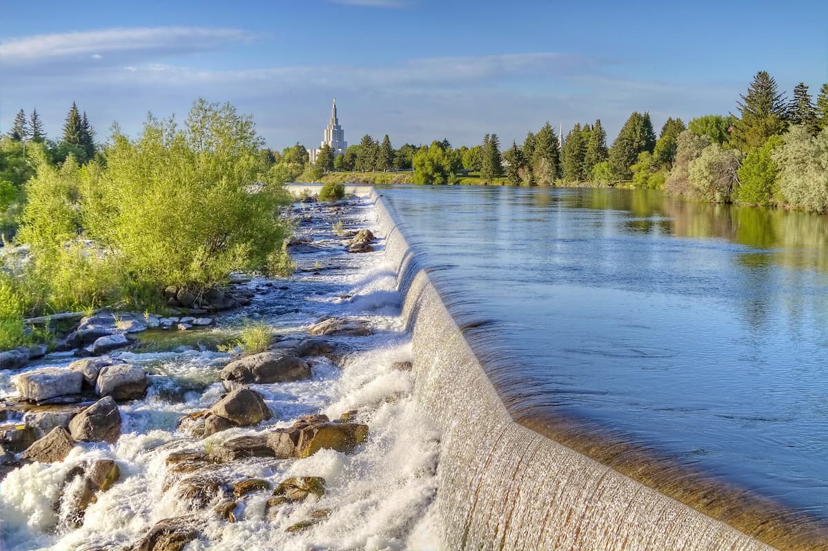
Idaho Falls is located to the south east of the Beaverhead Mountains. With a population of over 56,000 people, it is the largest city within a 2 hour drive of the range.
The city is a cultural, commercial, and healthcare center for much of eastern Idaho and western Wyoming. It has a small regional airport and is a 2 hour drive from the airport in Jackson, Wyoming, which also offers good connections to major cities in the Rocky Mountains region.
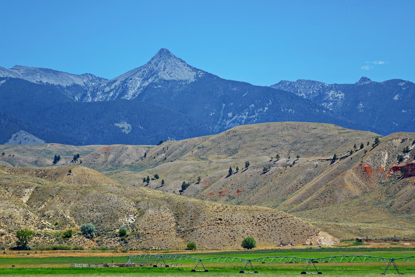
The city of Dillon, Montana is located just north of the Beaverhead Mountains in Montana. It has a population of over 4,000 people and was originally founded as a railroad town which serviced the many gold and silver mines in the area.
During the height of the region’s gold rush Dillon was a major transportation center within Montana. Even after the end of the major mining period, Dillon still thrived as the region turned more toward agriculture and ranching. The only access to Dillion these days is by road, however, the city of Bozeman is just 2 hours away.
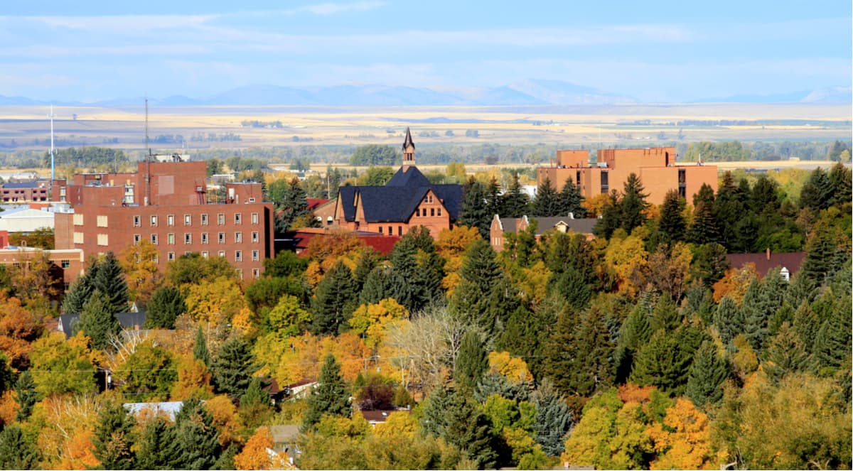
Bozeman is the fourth largest city in Montana with a population of nearly 50,000 people. It is located about 4.5 hours to the northeast of the Beaverhead Mountains.
The city of Bozeman is very popular among outdoor recreationalists due to its proximity to Yellowstone National Park and other major public lands in Montana, Idaho, and Wyoming. It has great road connections to other cities in the Rocky Mountain Region, as well as the Bozeman International Airport, which is the busiest airport in Montana.


The highest peak in the Beaverhead Mountains is Scott Peak, at 3,474 m.
The Beaverhead Mountains have 93 named peaks.


