Scan the QR code and open PeakVisor on your phone
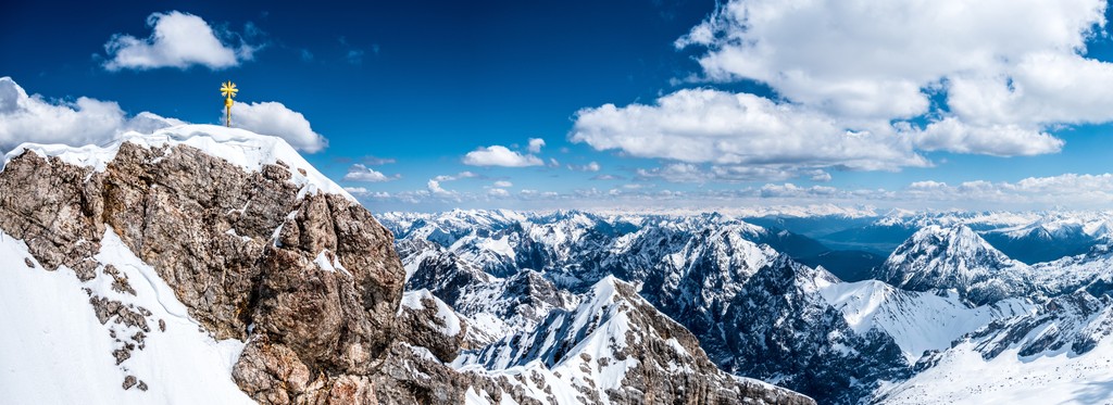
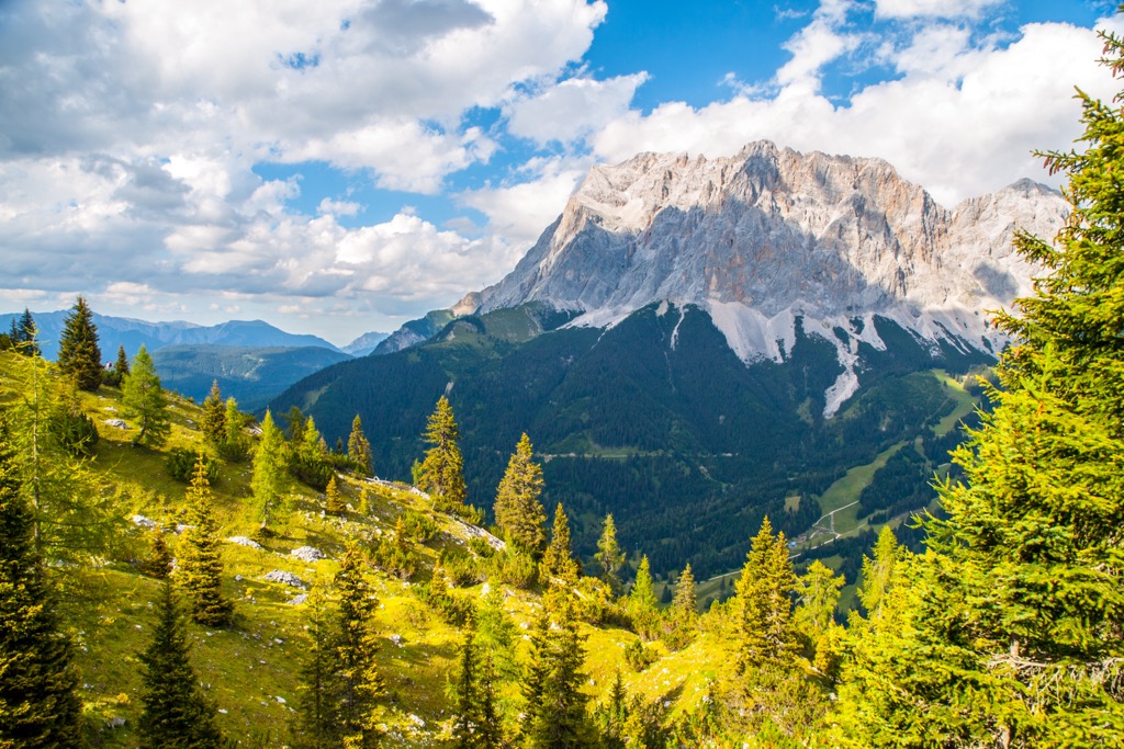
The North Tyrol Limestone Alps is one of the main large ranges of the Alps, which is located in the Austrian state of Tyrol on the border with Germany. The main feature of the range is its highest mountain Parseierspitze (3,036 m / 9,961 ft), the only one above three thousand meters. The most prominent mountain Zugspitze (1,758 m / 5,767 ft) of prominence, which makes it also an Ulta-peak) is much better known also because it is the German highest peak (2,962 m / 9,718 ft), thanks to its location right on the border between the countries. In total there are 1928 named mountains in the North Tyrol Limestone Alps.
The name of the mountain range consists of four words, which mean the following:
The exact name of the mountain range in German is Nordtiroler Kalkalpen, in Italian it is Alpi Calcaree Nordtirolesi.
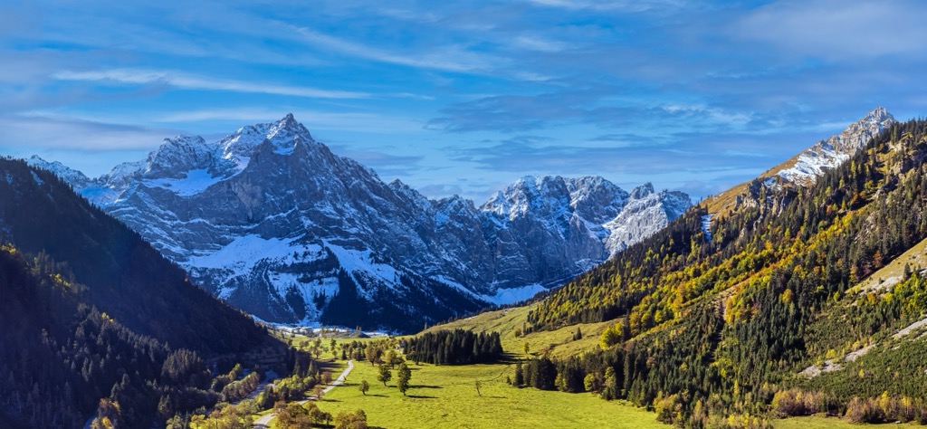
The North Tyrol Limestone Alps extend as a long, narrow strip of mountains along the northern part of Tyrol, entering partially into the neighboring state of Bavaria in Germany, where they seamlessly become the Bavarian Alps, one of the few northernmost large mountain ranges in the Alps. The closest major city to the north is the Bavarian capital, Munich.
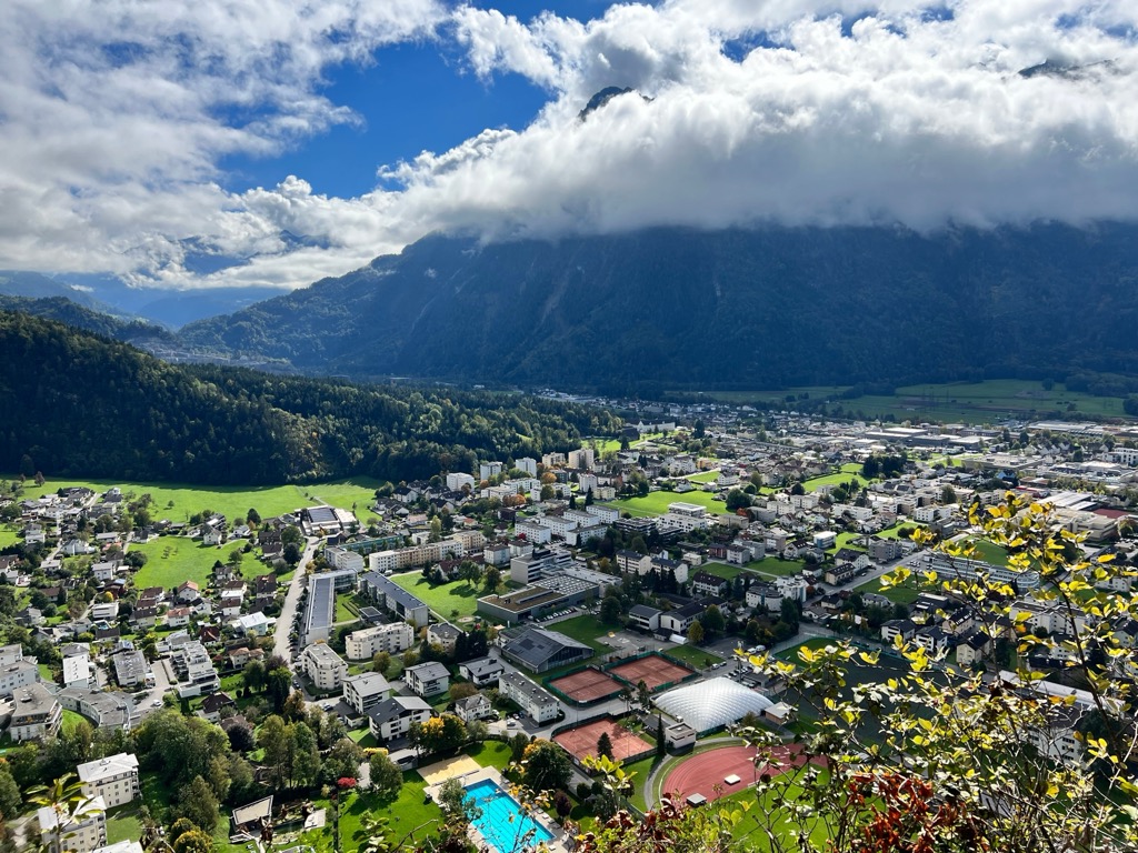
The southern boundary of the mountain range, on the contrary, is easy to outline as it runs along the Austrian (Tyrolean) part of the extremely long Inn Valley (Inntal) of more than 500 km (311 mi), named after the Inn River, from which, in turn, the main city of Tyrol, Innsbruck, was named.
Two other major cities that help delineate the boundaries of the range are Bludenz to the west and St. Johann in Tirol (Sankt Johann) to the east.
On the other side of the Inn Valley, the North Tyrol Limestone Alps border several mountain ranges at once, namely the Western Rhaetian Alps, Eastern Rhaetian Alps, Tyrol Schistose Alps, and Northern Salzburg Alps.
Accordingly, the easiest and fastest way to get to the range is from one of the aforementioned cities: Innsbruck or Munich. Traveling between these cities on the way from Germany to Italy (Verona) via Austria and vice versa, you cross the North Tyrol Limestone Alps, so this mountain range has long been important geographically for all three countries.
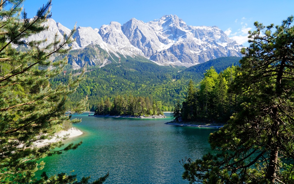
The North Tyrol Limestone Alps consist mainly of various types of limestone, but of course, this is not the only rock that occurs here. For example, its highest mountain Parseierspitze is composed of a mineral called radiolarite, which, in turn, is made up of at least half of radiolarians—the remains of single-celled plankton measuring up to 1 mm (0.03 in) that have been deposited for a million years on the seabed. This fact also indicates that the highest peak of one of the main ranges in the Alps was once under the water.
The North Tyrol Limestone Alps is one of the seven major mountain ranges in the Northeastern Alps in the Eastern Alps, according to the SOIUSA, the Italian Alpine classification, where it has number 21.
According to the same classification it consists at six sub-ranges or groups with the following highest peaks:
The same mountain subranges can be found in the AVE, the second common classification of the Alps of the German-Austrian Alpine Club, covering only the eastern part of this mountain system, where they belong to the Northern Limestone Alps:
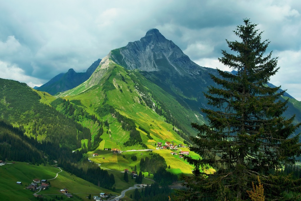
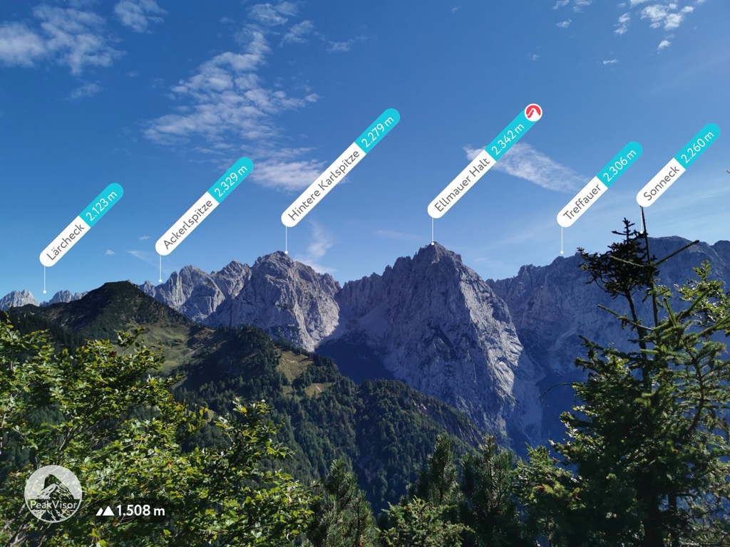
In addition to the above-mentioned summits, other well-known peaks of the range, which lose them in height, but are distinguished by their unusual shape, coloring, and other things, or their proximity to populated areas, or both, are Feuerspitze ("Fire Peak") of 2,852 m (9,357 ft) in the Lechtal Alps southeast of Holzgau, Rote Wand ("Red Wall") of 2,704 m (8,871 ft) in the Lechquellen Mountains near Vorarlberg, and many others.
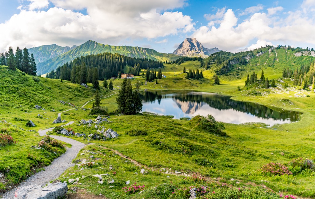
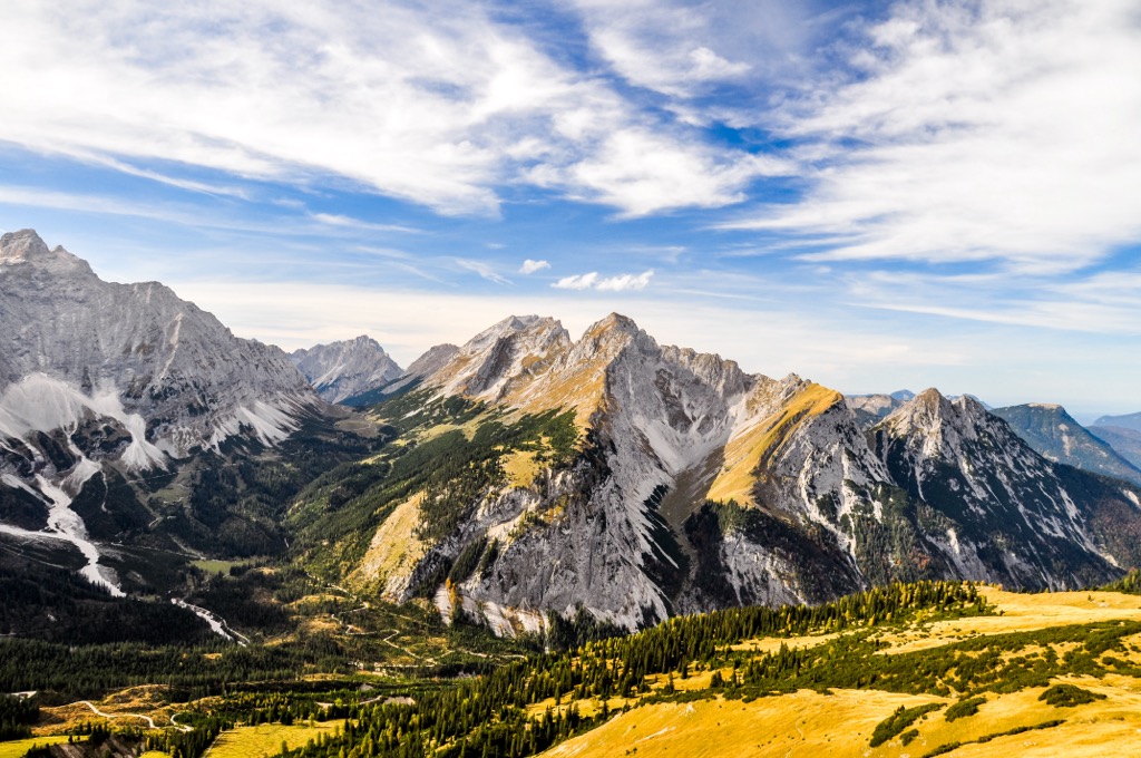
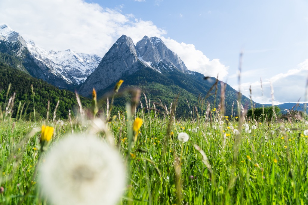
As in the other mountain ranges of the Alps, the main hiking areas in the North Tyrol Limestone Alps are the various nature parks where you will find marked hiking trails of varying difficulty levels, elevation gain and length.
A little side-step: In my experience, for an average hiker who frequently goes to the mountains, these are about +1,000–1,500 m (+3,280–4,921 ft) of elevation gain and 15–20 km (9.3–12.4 mi) per day. If a hike lasts two or three days or more, it is advisable to reduce this load. Conversely, on a one-day hike, you can take a little more than 1,500 m (4,921 ft)—but still hardly more than 2,000 m (6,562 ft)—and walk 20 to 30 km (12.4 to 18.7 mi). But the complexity of the trail is also important. If it has a lot of rocks and is very steep, then +1,000 m (+3,280 ft) and 10 km (6.2 mi) a day will be quite enough.
So there are two nature parks in the North Tyrol Limestone Alps out of 6 total, including also the High Tauern National Park.
In addition to the nature parks, there are also several nature reserves within the range, which have stricter conservation regulations but also offer hiking trails, and more.
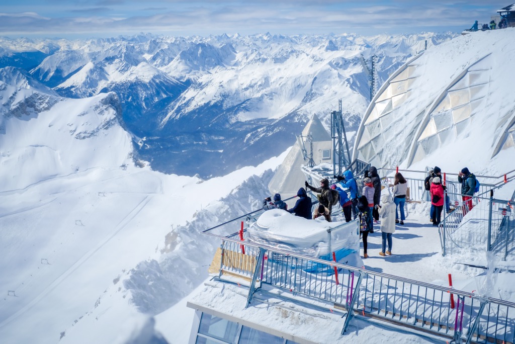
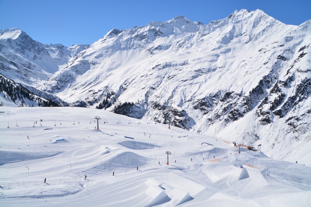
For skiing and snowboarding enthusiasts, there are more than 50 ski resorts in the North Tyrol Limestone Alps, which are located throughout the range in all of its subranges, so it is also one of the main areas for skiing in the Austrian Alps. Here they are:
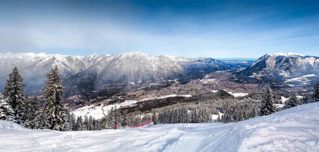
The main ski resort near Innsbruck, the largest city in the North Tyrol Limestone Alps, is Nordkette–Innsbruck with more than 10 km (6.2 mi) of slopes and more than 5 ski lifts.
Check the North Tyrol Limestone Alps ski resorts map on the larger Tyrol ski resorts map in the World Mountain Lifts section of the site. It includes information about open ski lifts / slopes in the North Tyrol Limestone Alps in real-time with opening dates and hours. There are also year-round cable cars, funiculars, cog railways, aerial tramways, and all other types of mountain lifts.
Before or after your hike, visit one of the official tourist offices of the Tyrol region, which can be found in almost every locality, including the main one in Innsbruck:
Tourist Information Innsbruck
Burggraben, 3, 6020, Innsbruck, Austria
Monday to Saturday from 9 am to 6 pm, Sunday from 9 am to 3 pm
+435125356
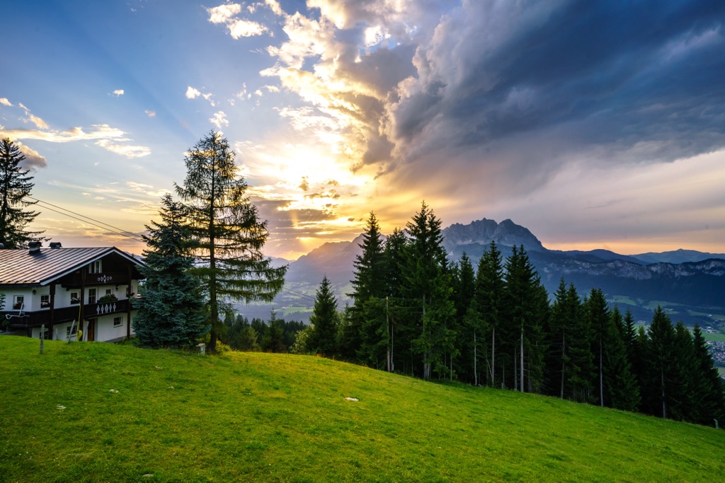
When hiking in the North Tyrol Limestone Alps, you can easily find accommodation, the main type of which here, as in other parts of the Alps and in the mountains in general, is the mountain hut. Or rather, on the contrary, it was in Tyrol and Austria that they first appeared as a lodging format for hikers and then spread to other parts of the Alps and around the world. From this, sleeping in a traditional Tyrolean hut is not the same as in any other, even in the neighboring Italy, where huts are also incredibly popular. Most of them are part of a single system run by the Austrian Alpine Club. It is so important that it also runs some huts in Italy, too. For example, on the way to Zugspitze from the east side through Schachen and Reintal Nature Reserve, you will find two of them: Reintalanger Hut, and Knorr Hut. But there will be more at the top, if suddenly you reach it in one day in a more sporty mode, as many locals do.
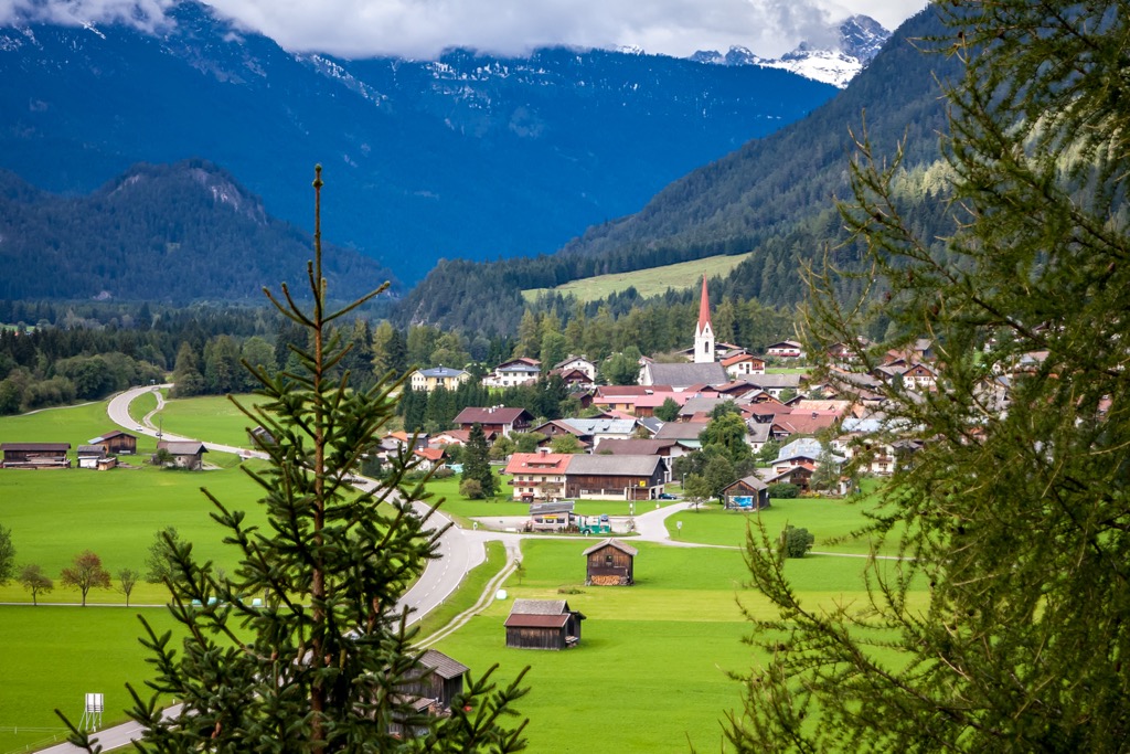
In the course of the guide, I have already named the main cities and resorts of the region. Only Innsbruck (and of course Munich to the north) is essentially a real city, the rest are towns and villages. Here they are again, including a few new ones. To the west of Innsbruck, there are Bludenz, St Anton am Arlberg, Landeck, and Imst, to the east—Schwaz, Kramsach, Wörgl, Kufstein, and St. Johann in Tirol (Sankt Johann).
The village of Tyrol (Tirol, Tirolo), which I mentioned at the beginning of the guide, and from which the whole region and the mountain range get their name, is located in South Tyrol in Italy a little north of Merano, the second largest city in the province after the capital Bolzano. The village is known for the medieval Tyrol Castle (Castel Tirolo), which was built before 1100, towering above the Adige River valley. It is the main of almost 100 castles in South Tyrol, which was the seat of the whole County of Tyrol in the Roman Empire. Today it is a historical and cultural museum of South Tyrolean history (don't confuse it with South Tyrol Museum of Natural History in Bolzano), which I recommend to visit on purpose, if you come to the southern part of the former Alpine county.
The official tourist site of the region is Suedtirol.info.