Get PeakVisor App
Sign In
Search by GPS coordinates
- Latitude
- ° ' ''
- Longitude
- ° ' ''
- Units of Length

Yes
Cancel
❤ Wishlist ×
Choose
Delete
The Brandenberg Alps (Brandenberger Alpen) are a mountain range in the Austrian state of Tyrol. Famed for their sweeping valleys, verdant forests, and serene lakes, the Brandenberg Alps are an idyllic hiking destination. There are 126 named mountains in the Brandenberg Alps; the highest and the most prominent is Hochiss (2,299 m / 7,543 ft).
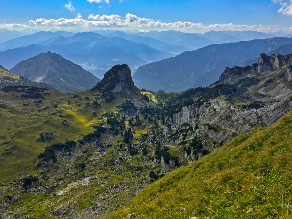
The Brandenberg Alps are triangular in shape, stretching 38 km (24 mi) from Tyrol's largest lake, Achensee, to Kiefersfelden just across the German border. Parts of the range's northern boundary also touch the German border.
The name "Brandenberg Alps" is not widely used in Austria and Germany when talking about this range. They're usually called the Rofangebirge (Rofan Mountains); however, this name actually only refers to one of the range’s subgroups to the west of the 38 km (24 mi) long Brandenberger Ache River.
The range is likely known as Rofangebirge as this western area is home to its most popular summits, like Rofanspitze (2,259 m / 7,411 ft) and Ebner Joch (1,957 m / 6,421 ft).
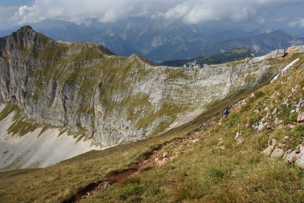
The eastern area is relatively unknown to outsiders despite being home to a roughly 20 km (12.4 mi) long ridge that includes the Keinburggruppe and Pendlingkamm subgroups.
Confusingly, the range is also sometimes called Sonnwendgebirge due to Vorderes Sonnwendjoch (2,224 m / 7,297 ft), which towers over the North Inntal.
Part of the Northern Limestone Alps, five other mountain ranges surround the Brandenberg Alps:
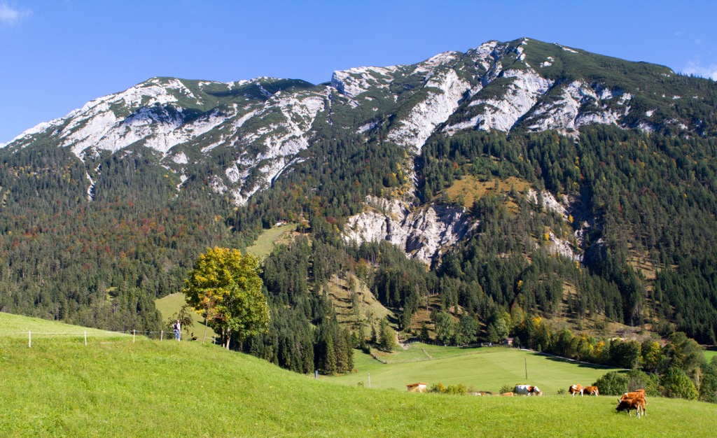
The landscape of the Brandenberg Alps’ is pre-alpine — no summits exceed 2,300 m (7,546 ft) in elevation. The Eastern Brandenberg Alps don't exceed 2,000 m (6,561 ft). Nevertheless, these eastern summits offer many exciting day hikes through dwarf pine forests and along winding ridges.
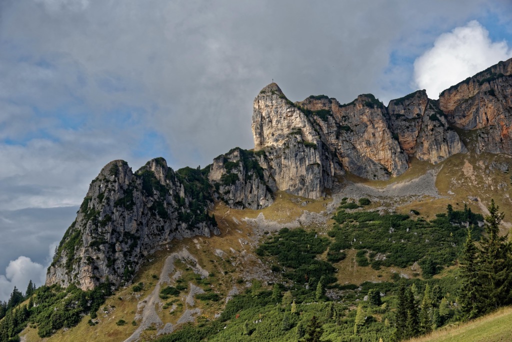
The Western Brandenberg Alps, which includes the Unnütz, Rofan, and Guffert subgroups, are famed for their craggy limestone summits and offer stunning year-round views of Achensee, the Karwendel, and the Hohe Tauern.
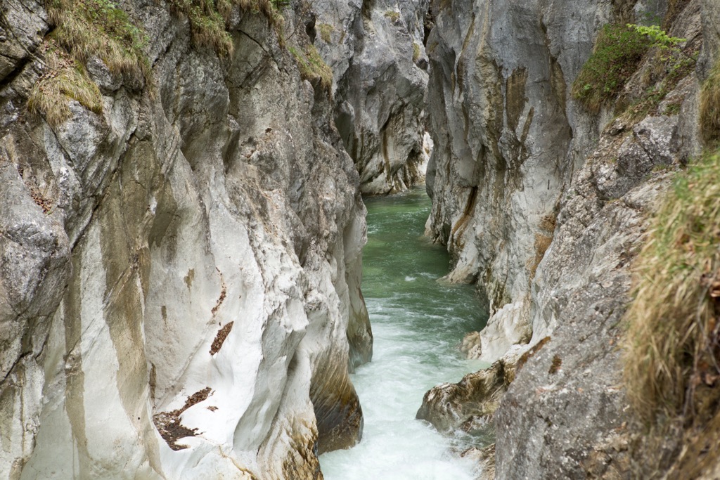
One of the highlights of the Brandenberg Alps is the Kaiserklamm, a remarkable limestone gorge at the heart of the range just north of the Inntal. Another must-see is Zireiner See, which is to the east of Rofanspitze and is considered one of Tyrol's prettiest mountain lakes.
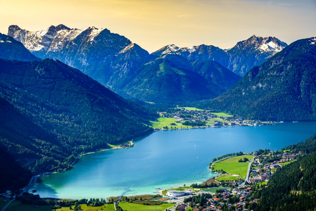
Achensee, nicknamed the "Fjord of the Alps," is the largest lake in the Brandenberg Alps, with a surface area of 6.8 sq km (2.6 sq mi).
The main settlements in the Brandenberg Alps are Kufstein, Wörgl, Jenbach, and Brixlegg.
The Brandenberg Alps began forming over 66 million years ago during the Alpine Orogeny.
This mountain-building event started when the Arabian, Indian, and African tectonic plates to the south collided with the Eurasian plate to the north. Convergent movement between these plates helped create the Alps.
The Alpine Orogeny is a relatively recent mountain-building event that's ongoing in certain parts of the Alps. It also helped create many of the world's largest and most famous mountain ranges, including the Himalayas, the Hindu Kush, and the Carpathians.
The Brandenberg Alps are within the Northern Limestone Alps and are made primarily from limestones from two different geological periods.
Triassic limestones, such as Wetterstein limestone and dolomite, form the basis of the lowest mountains in the range. These include the Kienberg, the Pendling, the Guffert, and the Unnütze subgroups. Some younger Cretaceous marine sediments are mixed in with this Triassic limestone.
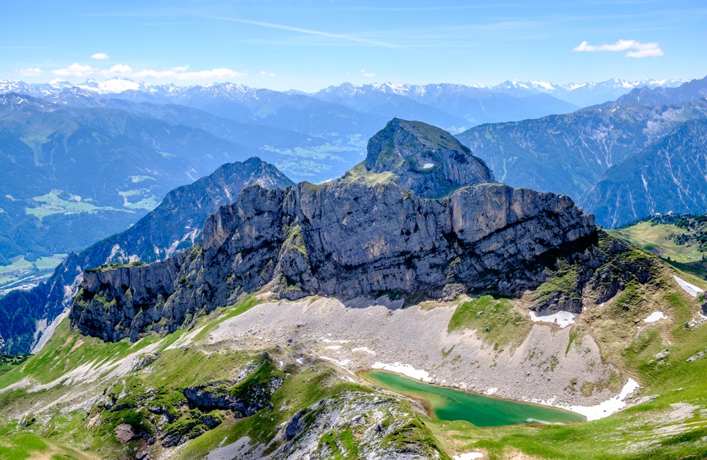
The Rofan subgroup is formed from a different rock sheet from the rest of the Brandenberg Alps. It's part of a limestone sheet formed during the Upper Triassic before splintering and submerging below the ocean at the start of the Jurassic period.
While submerged, Jurassic red limestones filled in the cracks and crevasses of the rock sheet's white Triassic limestone.
The Brandenberg Alps boast a wealth of wildlife due to their varied landscape, which includes beautiful gorges, snow-capped mountains, and the largest lake in Tyrol.
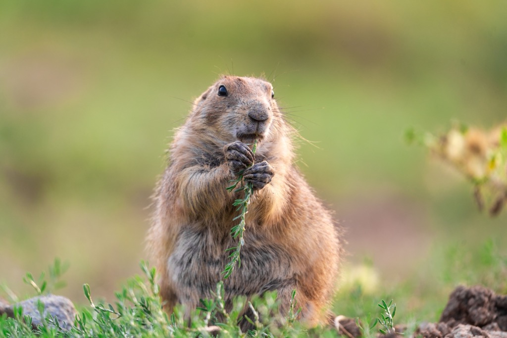
Red deer, which can weigh as much as 240 kg (530 lb), are the largest mammals hikers are likely to encounter in the Brandenberg Alps. Meanwhile, whistling marmots provide a soundtrack for visitors to the mountains.
Other mammals within the Brandenberg Alps include ibex, chamois, wild boars, roe deer, fallow deer, red squirrels, hedgehogs, pine martens, common pipistrelle bats, and alpine shrews.
Wolves went extinct from Austria in the late 19th century but have made a comeback, with 50 individuals detected within Austria in 2021.
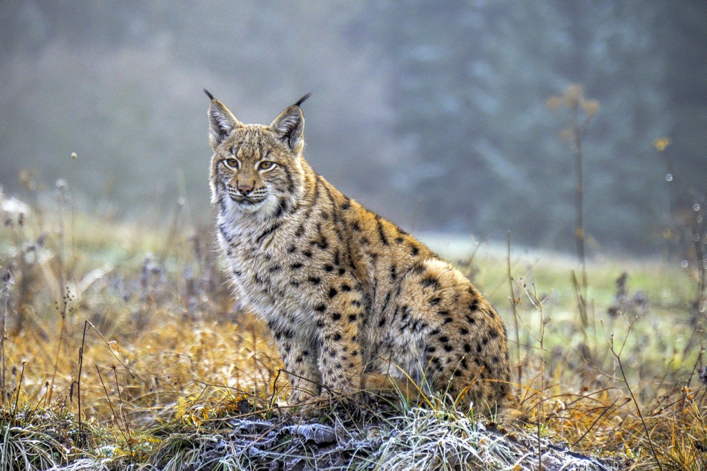
Eurasian lynx have also returned since the last one was killed in Austria in 1918 — between 60 and 80 individuals have established along the Austro-German-Czech border. In recent years, a handful of Eurasian brown bears have been spotted in Austria, likely traversing across from a sanctuary in Trentino, Italy.
The Brandenberg Alps, with extensive forests and Achensee on their western flank, are home to a wide range of bird species. Black grouse, three-toed woodpeckers, and capercaillies are just a few of the species that call these forests home.
Black eagles, the National Animal of Austria, can be seen circling high above the slopes of the Brandenberg Alps. Other notable birds of prey in the range include golden eagles, kingfishers, eagle owls, griffon vultures, and peregrine falcons.
The common European adder may be the most dangerous animal in the Brandenberg Alps. The only venomous snake in Tyrol, the common European adder can live at up to 3,000 m (9,842 ft) in elevation and is usually found hiding under rocks or in bushes.
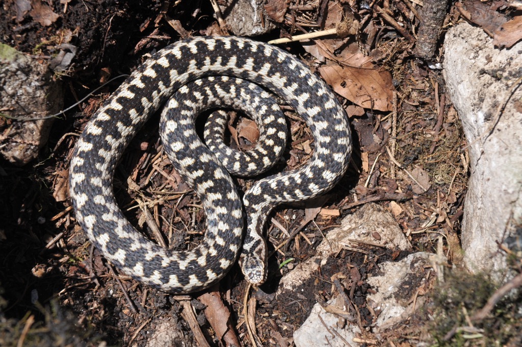
Other reptile and amphibian species in the Brandenberg Alps include alpine newts, smooth snakes, and common frogs.
The Brandenberg Valley is superb for insect enthusiasts and is nicknamed the "valley of the butterflies." There are over 800 butterfly species in the valley, including critically endangered Apollo butterflies.
The Brandenberg Valley is the most densely wooded municipality in Tyrol — forests carpet roughly 87% of the region. Most forests across the Brandenberg Alps comprise Norway spruces, pines, firs, beeches, and mountain maples.

Helleborus niger, also known as Christmas rose, grows abundantly across the Köglhörndl (1,645 m / 5,397 ft) in the Pendlingkamm in the Eastern Brandenberg Alps. As their name suggests, Christmas roses resemble wild roses and are known to flower in the middle of winter.
Many vibrant mountain wildflowers grow on alpine meadows and rocky slopes high above the treeline. Edelweiss, the National Flower of Austria, is one of the most famous plants to grow high up in the Brandenberg Alps.
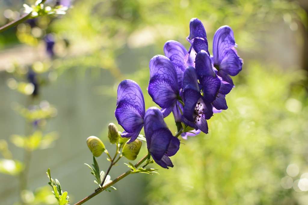
Other notable flowering plant species in the Brandenberg Alps include red vanilla orchids, blue monkshoods, trumpet gentians, mountain arnicas, pasque flowers, and wood cranesbill.
The Brandenberg Alps have a long history, with archeologists discovering 8,000-year-old human remains near Ebner Joch. More recently, it has been a destination for modern rock-climbing pioneers to hone their skills.
The Brandenberg Alps are named after the village of Brandenberg, which sits at the heart of the Brandenberg River Valley.
Due to the region's fertile soil, the Brandenberg Alps were settled hundreds of years ago — records first mention Brandenberg in 1140. Until the mid-20th century, the Brandenberg Alps were at the heart of Austria's lumber industry.
The Brandenberg Alps are associated with Emperor Franz Joseph I of Austria, the penultimate ruler of the Austro-Hungarian Empire.
The range was popular hunting grounds for Franz Joseph, and he stayed in the 500-year-old Kaiserhaus (711 m / 2,333 ft), which is still a functioning tavern. The Kaiserklamm, one of the Brandenberg Alps' most famous natural landmarks, means Emperor's Gorge in English.
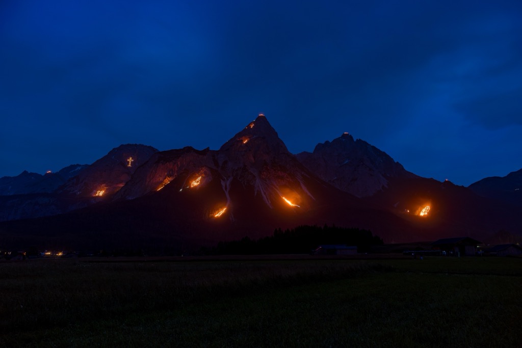
One of the names for the Brandenberg Mountains, Sonnwendgebirge, means "solstice mountains." In addition to its connection to Vorderes Sonnwendjoch, this name relates to the Tyrolean tradition of summer solstice bonfires, which locals have been lighting high in the mountains around June 21st since the Middle Ages.
A local delicacy worth seeking out when you visit the Brandenberg Alps is Prügeltorte, a type of Baumkuchen, or spit cake, made in the Brandenberg Valley since the Middle Ages. It's especially popular around the holidays.
As Brandenberg has a long human history and its mountains are relatively easy to climb, there are little to no records of first ascents in the range. However, alpinists failed to conquer many rock climbing routes within the Brandenberg Alps until the 20th century.
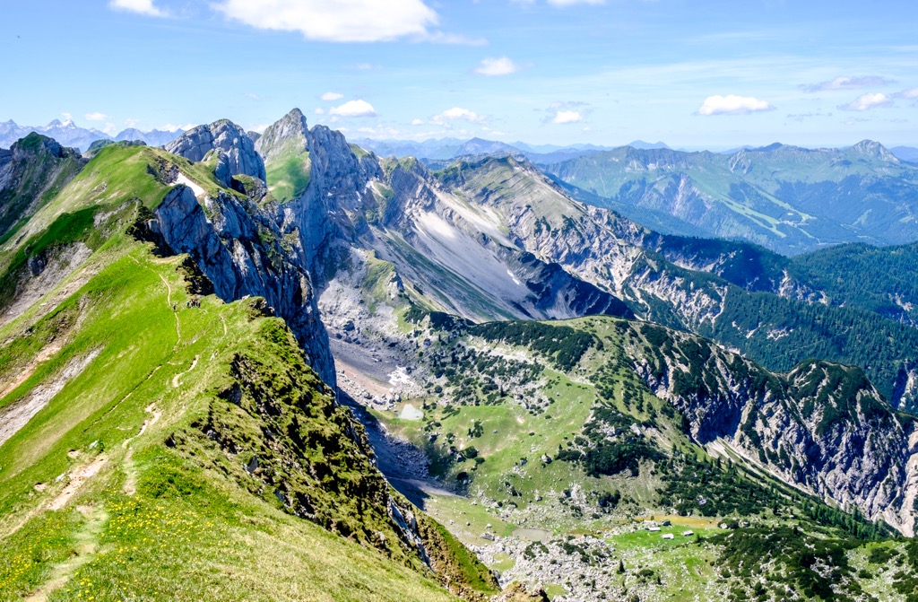
Some of the Brandenberg Alps' mountains offer plenty of difficulties for even the most experienced rock climbers and mountaineers.
For example, Hans Dülfer and Hans Fiechtl became the first people to climb the north face of Hochiss in 1911, a IV- graded hike according to the International Climbing and Mountaineering Federation (UIAA).
Like Hochiss, Seekarlspitze (2,261 m / 7,418 ft) also has a nearly 400 m (1,312 ft) tall north face, which Hans Fiechtl scaled for the first time in 1923.
Dülfer and Fiechtl were two of the best rock climbers of their generation, and both are considered co-founders of modern mountaineering. Fiechtl invented the first reliable rock piton in 1910, which is named after him. Dülfer developed the Dülfersitz rappel technique, a basic abseiling skill.
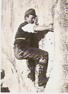
Hiking became popular in the Brandenberg Alps around the turn of the 20th century. By the time the Erfurter Hütte (1,834 m / 6,017 ft) was built in 1894, hikers and pastoralists had created a dense trail network in the Rofan Mountains.
The access from the hut to the mountain, coupled with the beautiful scenery, made the Brandenberg Alps an attractive vacation destination.
Despite being well-mapped with a dense trail system, hiking in the Brandenberg Alps is still potentially hazardous.
Ensure you bring enough provisions and appropriate hiking equipment in the Brandenberg Alps. Map out your route carefully, check local weather forecasts, and inform others of your itinerary.
The Guffert is the most beautiful mountain massif in the Brandenberg Mountains. It stands solitary to the north of the Rofan, towering over the Mangfall Mountains in the Bavarian Prealps.
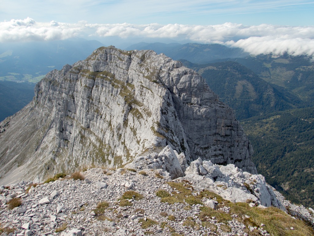
Affectionately known as "The Matterhorn of the Achensee," the Guffert has a distinctive wedge-shaped ridge, and its dual summits add to its beauty. Its two summits are Guffertspitze (2,195 m / 7,201 ft) and Guffertstein (1,963 m / 6,440 ft).
From Guffertspitze, you'll have views across to Großglockner (3,798 m / 12,461 ft) and Großvenediger (3,657 m / 11,998 ft) in the Hohe Tauern and Zugspitze (2,962 m / 9,718 ft) in the Wetterstein.
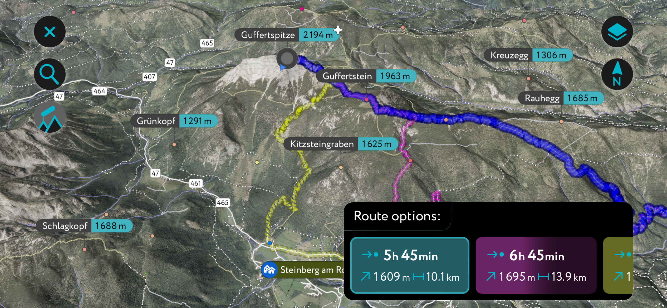
The best time to climb the Guffert is from mid-July to mid-October. The best route to Guffertspitze is following a demanding trail up its southern flank. Following the black markings, you can pick up this trail from the Gasthaus Waldhäusl in Steinberg am Rofan.
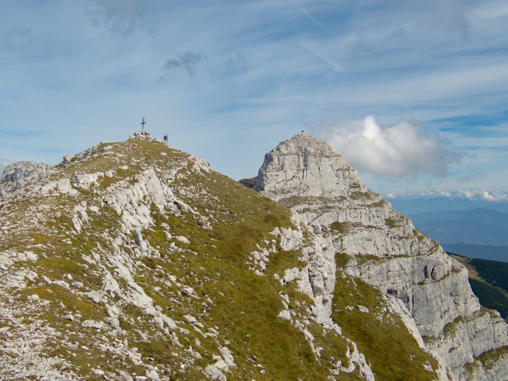
There's nowhere to stop for refreshments on the way to Guffertspitze, so bring plenty of food and water. Descend the way you came. The Guffertspitze trail is approximately 10.3 km (6.4 mi) in length.
The Pendling (1,563 m / 5,128 ft) is the most popular mountain in the Eastern Brandenberg Alps. It's the local mountain of Kufstein, with its bold limestone summit casting a striking silhouette over the town. Atop Pendling is the Pendlinghaus (1,537 m / 5,043 ft), a picturesque refreshment spot after scaling this remarkable summit.
The views from the Pendling are sublime, with panoramas stretching across the Inntal to the Kitzbühel Alps, the Hohe Tauern, the Zillertal Alps, and the Kaisergebirge.
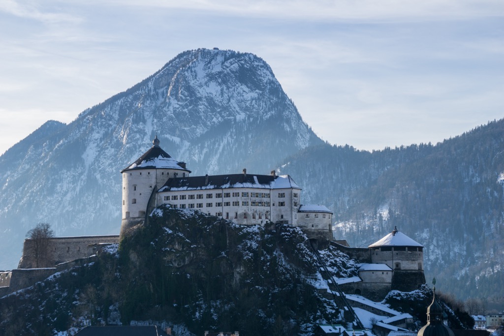
The normal route up Pendling is a circular trail starting and ending at Gasthof Schneeberg in Thiersee. It is medium-difficulty and follows red markers. After 15 minutes of walking, you'll follow the "Pendling via Waldweg" signposts.
You'll find two summit crosses on the Pendling, one by the Pendlinghaus and one on its true summit. You'll descend the mountain via Mittagskopf (1,542 m / 5,059 ft) and Kala-Alm (1,360 m / 4,462 ft). The Pendling trail is approximately 8.5 km in length.
The Ebner Joch (1,957 m / 6,421 ft) is an imposing mountain at the southern tip of the Rofan Mountains, overlooking Achensee and Maurach.
Several routes can be taken through the serene forests on the mountain's slopes, making it a popular destination for adventure seekers. From Ebner Joch's summit cross, you'll be treated to outstanding panoramas of the Zillertal Alps, the Karwendel, the Inntal, and the Rofan.
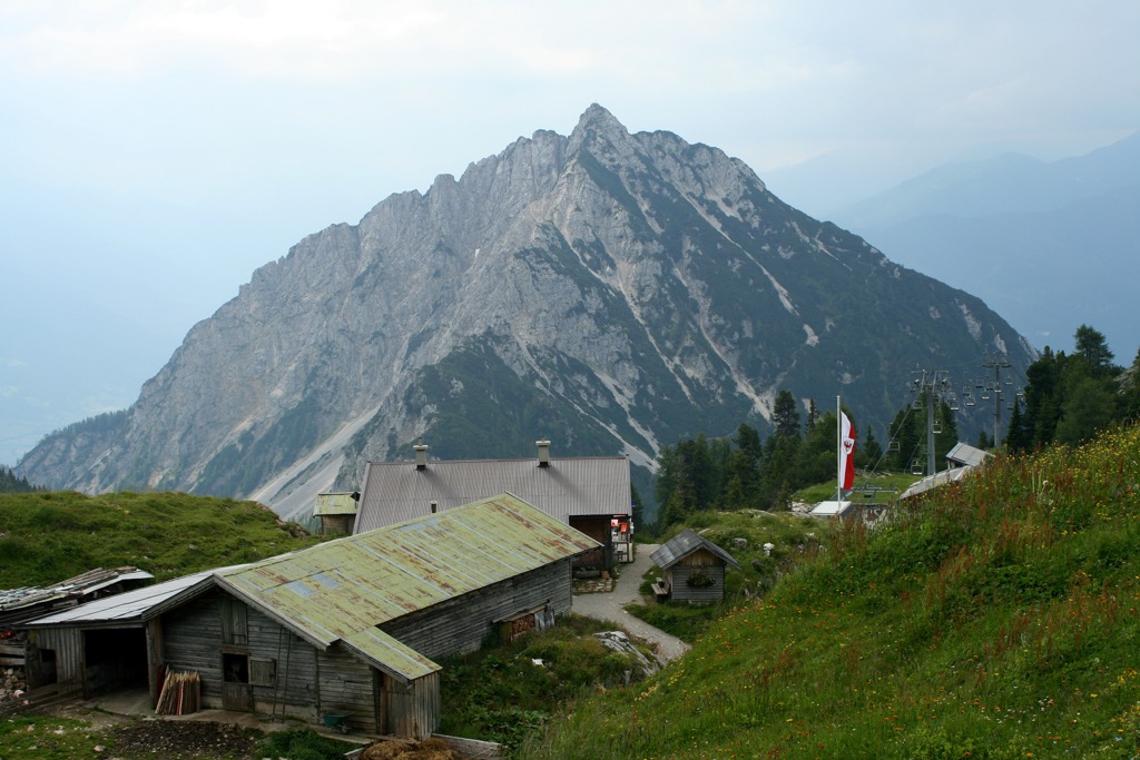
The Ebner Joch's jagged limestone summit makes it look more challenging than it is — you can climb Ebner Joch with relative ease via Astenau Alp. All you'll need is sure-footedness and head for heights.
The trail to Ebner Joch via Astenau Alp starts at the Panorama-Restaurant Kanzelkehre (891 m / 2,923 ft). On the way to the summit, you'll pass the Alpengasthof Astenau (1,484 m / 4,869 ft) and Kirchenspitz (1,770 m / 5,807 ft).
You can descend the way you came or via Buchauer Alm. The Ebner Joch via Astenau Alp trail is approximately 8.7 km (5.4 mi).
The Rofanrunde is among the finest multi-day hiking trails in the Brandenberg Alps. Covering 30 km (18.6 mi), you'll visit four of the finest huts in the Rofan Mountains with the option of climbing some of the highest summits in the Brandenberg Alps.
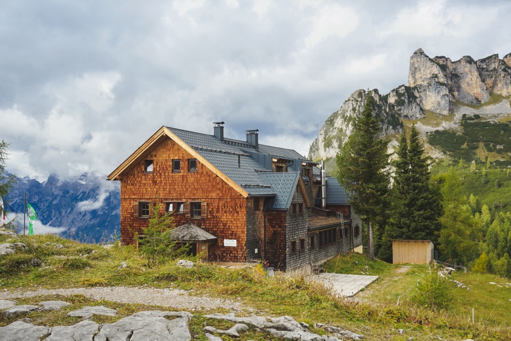
The Rofanrunde has four stages, starting and ending in Maurach. A head for heights and hiking experience is needed on the Rofanrunde — several parts of the trail are exposed and secured with steel ropes.
Stage 1 leads from the Rofan Seilbahn valley station in Maurach to the Erfurter Hütte (1,834 m / 6,017 ft). You'll pass the Buchauer Alm before taking the Schützensteig trail up to the Durrakreuz viewpoint. Follow yellow signs to Erfurter Hütte. It's worth noting that the Buchauer Alm no longer exists due to a tragic fire. Stage 1 is 4.9 km (3 mi) in length.
Stage 2 has two variations: the Gourmet Route and the Summit Route. Both end at the Bayreuther Hütte (1,560 m / 5,118 ft). The Gourmet Route is leisurely, ascending past Mauritzalm (1,836 m / 6,024 ft) and Krahnsattel (2,002 m / 6,568 ft).
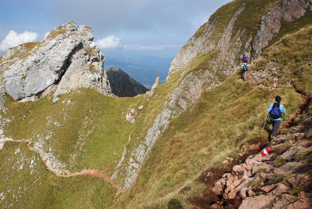
After Krahnsattel, you'll descend on the slopes of Haidachstellwand (2,192 m / 7,192 ft) and past Schermsteinalm (1,860 m / 6,102 ft). Finally, you'll follow the yellow signs to Sonnwendbühelalm and Bayreuther Hütte. The Rofenrunde Stage 2 Gourmet Route is 9.4 km (5.8 mi).
Or, try out the Stage 2 Summit Route if you're looking for a challenge and want to explore the Rofan's highest summits. This route leads from Erfurter Hütte to Mauritzalm, continuing northerly at the Grubastiege signpost to Grubascharte (2,010 m / 6,596 ft).
Then, you'll start bagging the summits of the Rofan, starting with Rofanspitze (2,259 m / 7,411 ft). You'll continue across Schafsteigsattel to Sagzahn (2,228 m / 7,310 ft) and Vorderes Sonnwendjoch (2,224 m / 7,297 ft) before descending to Bayreuther Hütte. The Stage 2 Summit Route is 8.7 km (5.4 mi) in length.
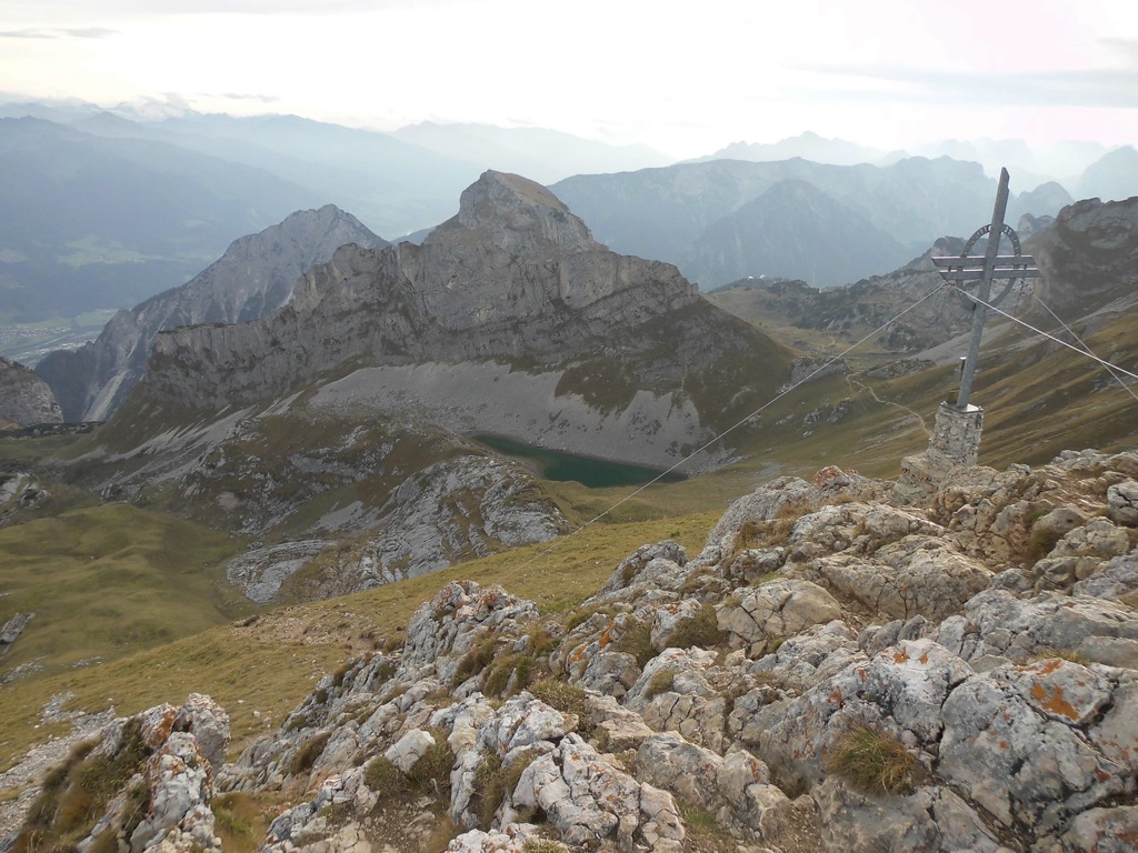
Stage 3 leads to Dalfazalm (1,693 m / 5,554 ft). It's the toughest and longest stage of the trail, leading over the highest summits in the Rofan. You'll start by walking to Marchgatterl (1,905 m / 6,250 ft) for excellent views of Zireinersee. Continue along the narrow Schafsteig to Schafsteigsattel to Grubascharte.
Follow signs for Spieljoch (2,236 m / 7,336 ft), reaching the summit using steel ropes. Then, you'll have the option to scale Hochiss (2,299 m / 7,543 ft) via its tricky southwest slope. Descend via Streichkopf (2,250 m / 7,382 ft) to the Steinernes Tor (1,955 m / 6,414 ft) and then to Dalfazalm. The Rofanrunde Stage 3 is 12.1 km (7.5 mi) in length.
Stage 4 is the final stage and, thankfully, offers a bit of respite following two strenuous days of hiking. It's a straight downhill stroll from Dalfazalm along the Durrawand, following a path past Durraalm and back to Maurach. The Rofenrunde Stage 4 is 4.1 km (2.5 mi) in length.
The only notable ski area in the Brandenberg Alps is the Rofan Skiing Area - Achensee (11 km (7 mi) of slopes / 5 lifts). It's located below Gschöllkopf (2,039 m / 6,690 ft) and is reachable on a five-minute cable car ride from Maurach.
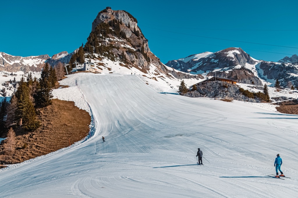
The Western Brandenberg Alps are popular for ski touring and snow-shoeing throughout the winter months.
The Brandenberg Alps are at the heart of our most thoroughly mapped areas. Use the PeakVisor App to discover countless ski tours across the Northern Limestone Alps and beyond.
Keep reading to discover a couple of the best ski tours in the Brandberg Alps and a few ways we've improved the PeakVisor App to make it the ultimate tool for planning your next mountain expedition.
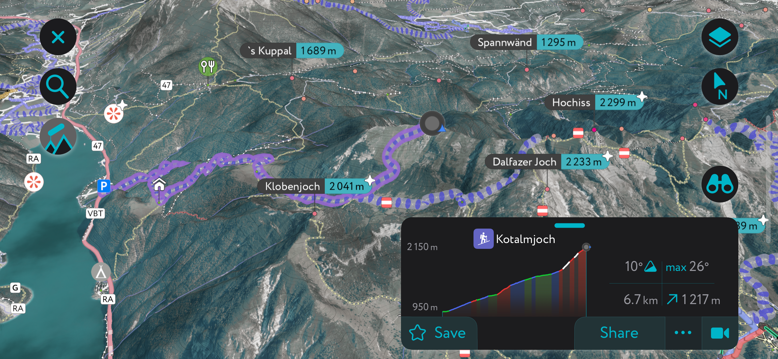
Kotalmjoch (2,149 m / 7,051 ft) is a mountain at the western end of the Rofan main ridge. Kotalmjoch is an excellent destination for ski tours; its long summit slope, with a gradient of around 30°, is ideal for both skinning up and skiing down.
This moderately difficult ski tour starts from the Lido Seehof recreation area. It ascends via Kotalm Mittelleger (1,607 m / 5,272 ft) and the ruins of Kotalm-Hochleger. It's best to climb the last few meters to the summit by foot. This ski tour of Kotalmjoch is approximately 12.5 km (7.8 mi) in length.
Vorderunnütz (2,078 m / 6,818 ft) is the highest summit in the Unnütze and is commonly referred to simply as Unnütze. The massif is far from “useless” as its name suggests in German, and is one of the finest ski tours in the Brandenberg Alps.
This ski tour starts in Steinberg am Rofan and passes Gfaßsattel (1,226 m / 4,022 ft), Kotalm (1,133 m / 3,717 ft), and Schlagkopf (1,688 m/5,538 ft). Descend the way you came. The Vorderunnütz ski tour is approximately 13.6 km (8.4 mi).
We've been steadily adding handy new features to the PeakVisor App to make it ideal for planning ski tours and hikes in the Alps.
Use the PeakVisor App to learn about up-to-date local weather conditions, including snow depths. In addition, the app provides details about hundreds of mountain huts, including opening hours, dining options, and overnight stays.
The Brandenberg Alps are home to several of the largest settlements in Tyrol, making it a well-connected area to plan your next adventure.
The nearest international airport to the Brandenberg Alps is Innsbruck Kranebitten Airport, located 80 km (50 mi) southwest of Kufstein. Salzburg Airport is approximately 88 km (55 mi) northeast of Kufstein.
Perched on the Inn River is Kufstein, the second-largest settlement in Tyrol after Innsbruck, with a population of around 20,000. With the Pendling to the southwest and the Kaisergebirge to the east, Kufstein is an idyllic Tyrolean town.
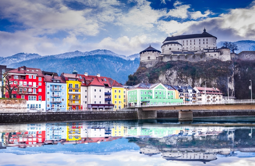
The town sits in the shadow of the Kufstein Fortress, first mentioned in 1205. The fortress played a pivotal role in armed conflicts between Bavaria and Tyrol in the 14th century and today is Kufstein's most important landmark and attraction.
The Kufstein railway station connects Kufstein as far as Munich and Verona. Popular mountains within 15 km (9 mi) of Kufstein include the Pendling, the Ellmauer Halt (2,344 m / 7,690 ft), and the Scheffauer (2,111 m / 6,926 ft).
Wörgl is a city in the Kufstein district positioned roughly 15 km (9 mi) south of Kufstein. It has a population of over 13,000 people. Wörgl is a popular shopping location, with Bahnhofstrasse Road the second-longest shopping mall in Tyrol — perfect for picking up hiking supplies.
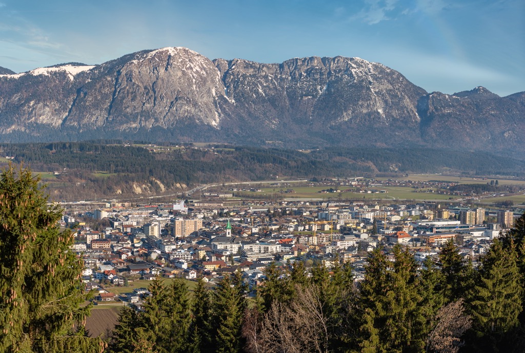
Wörgl is also home to the medieval Itter Castle, famed for being the site of one of the final battles in World War II and one of only two times when US Army and Wehrmacht members fought on the same side.
During your visit to Wörgl, ensure you visit the Kaiserklamm, roughly 10 km (6 mi) north of the city. The Wörgl Hauptbahnhof railway station connects Wörgl with Munich, Vienna, St. Gallen, and Innsbruck.
Explore Brandenberg Alps with the PeakVisor 3D Map and identify its summits.


